The best running trails around Charing
4.5
(17)
1,581
runners
19
runs
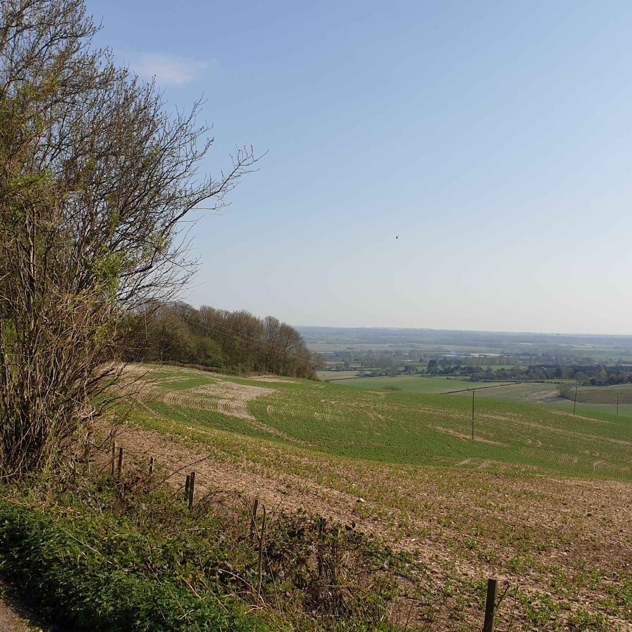
Jogging around Charing offers a diverse landscape for outdoor enthusiasts, situated at the foot of the North Downs and within easy reach of the Kent Downs Area of Outstanding Natural Beauty. The region features rolling countryside, chalk ridges, and broadleaved woodlands, providing varied terrain for running. Open fields and historical paths like the Pilgrims' Way also contribute to the area's appeal for runners seeking both scenic beauty and varied challenges.
Best jogging routes around Charing
- The most popular jogging route is Lenham Cross – Pilgrims' Way loop from Charing, a 17.1 miles (27.5 km) trail that takes about 2 hours 58 minutes to complete, leading through the scenic North Downs.
- Another top favourite among local runners is Mill pond – Charing Alderbed Meadow loop from Charing, a difficult 11.8 miles (19.0 km) path. This route features varied terrain with woodlands and open meadows, offering a challenging workout.
- Local runners also love the Pilgrims Way Gravel Path loop from Charing, a 5.3 miles (8.5 km) trail leading through historical landscapes and countryside, often completed in about 53 minutes.
- Jogging around Charing is defined by chalk ridges, broadleaved woodlands, and open fields, with routes offering options for different ability levels, from moderate paths to more difficult ascents.
- The routes in Charing are highly rated by the komoot community with an average score of 4.5 stars from more than 10 reviews. More than 1600 runners have used komoot to explore Charing's varied terrain.
Last updated: June 26, 2026
63
runners
19.2km
02:01
160m
160m
Hard run. Very good fitness required. Mostly paved surfaces. Suitable for all skill levels.
5.0
(1)
47
runners
8.46km
00:53
80m
80m
Moderate run. Good fitness required. Mostly paved surfaces. Suitable for all skill levels.

Sign up for free
15
runners
Moderate run. Good fitness required. Mostly paved surfaces. Suitable for all skill levels.
11
runners
27.5km
02:58
250m
250m
Hard run. Very good fitness required. Mostly paved surfaces. Suitable for all skill levels.
5
runners
7.99km
00:50
60m
60m
Moderate run. Good fitness required. Mostly paved surfaces. Suitable for all skill levels.
Get access to more routes and recommendations from other explorers.
Sign up for free
Already have an account?
Our route recommendations are based on thousands of hikes, rides, and runs completed by other people on komoot.
Start today with a free account
Your next adventure awaits.
Login or Signup
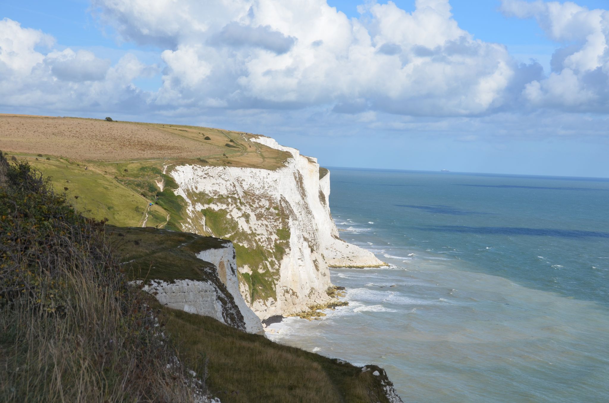
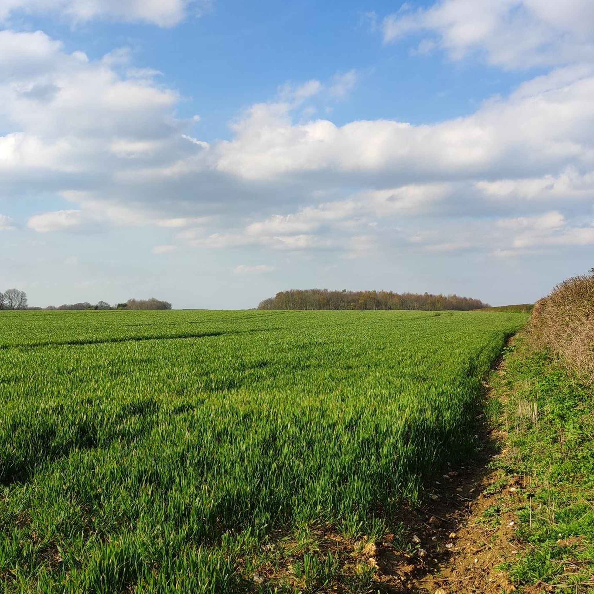
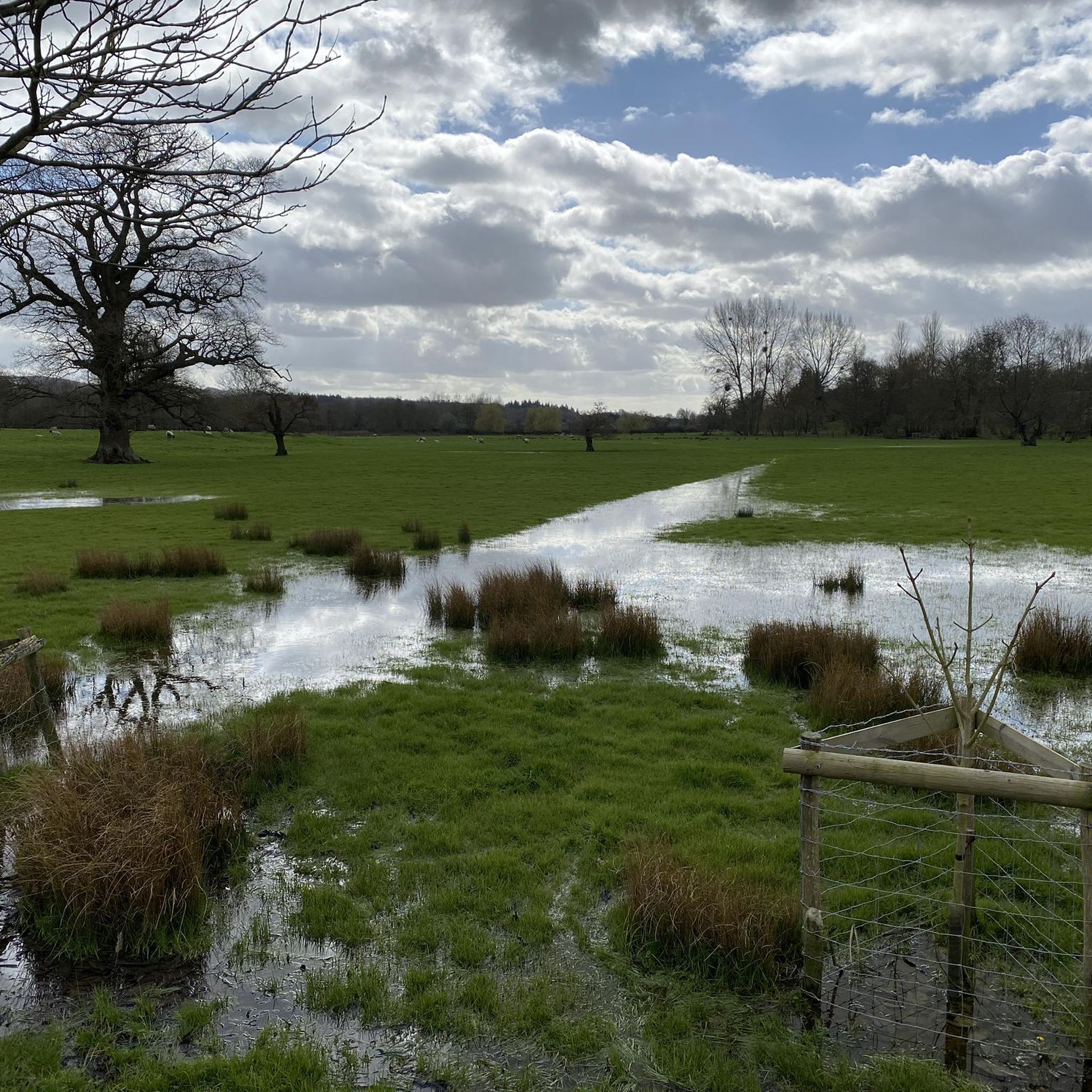
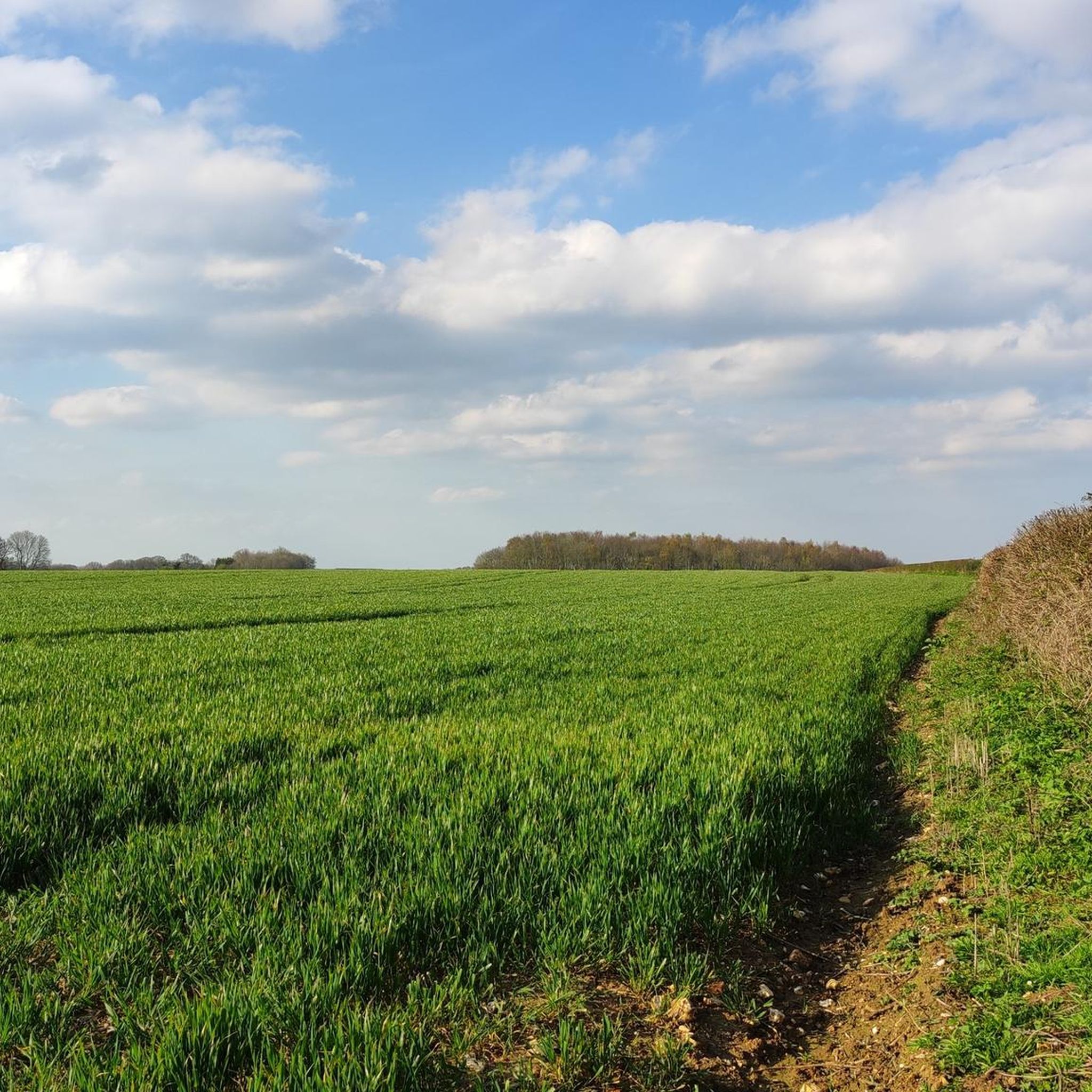
Other adventures around Charing

Tips from the Community

Gorgeous views, but it's a technical ride, the surface on Pilgrim Way is not maintained. However, can be done with gravel bikes with minimum 35mm tires on dry days. 40mm+ would be more appropriate. To be avoided on wet days.
0
0

The community of Lenham commemorates the dead of the Second World War with a horizontal stone cross.
0
0

This gravel section is nice and clean to ride on even in wet conditions and is not formed of narrow steep sections of hollow way.
0
0
A relatively modern chalk symbol sculpted in the hillside
0
0
Beautiful and verdant fields surround the track way at this point.
0
0
As said in a previous post, there are section of this route that are stunning as it runs along the ridges of various valleys on it's way to Winchester and beyond on the section I did from Canterbury to Guildford many parts were incredibly muddy and very hard to traverse even on a gravel bike.
0
0

Anyone who wants to walk the "Pilgrim's Way" with Canterbury Cathedral as their destination, not just as a long-distance hiking trail for pleasure (whether on foot or the faster option by bike), but also consciously follow the medieval tradition as a pilgrim, may find some inspiration on this website =>> https://www.pilgrimways.org.uk/the-pilgrims-way-winchester-southwark-to-canterbury
3
0

Frequently Asked Questions
How many running routes are available around Charing?
Charing offers a good selection of routes for runners, with over 20 jogging trails available. These routes vary in difficulty and length, providing options for different preferences and fitness levels.
What kind of terrain can I expect on the jogging trails near Charing?
The jogging trails around Charing offer a diverse landscape. You can expect rolling countryside, chalk ridges, and broadleaved woodlands, especially within the Kent Downs Area of Outstanding Natural Beauty. Many routes also feature open fields and sections of historical paths like the Pilgrims' Way and the North Downs Way, providing a mix of gradients and surfaces.
Are there any easy or beginner-friendly jogging routes in Charing?
Yes, Charing has routes suitable for beginners. While most routes are moderate, there is at least one easy route available. For a moderate option that's not too long, consider the Pilgrims Way Gravel Path loop from Charing, which is 5.3 miles (8.5 km) and takes about 53 minutes.
What are some longer or more challenging running trails for advanced runners?
For those seeking a greater challenge, Charing offers several difficult routes. A popular long-distance option is the Lenham Cross – Pilgrims' Way loop from Charing, which spans 17.1 miles (27.5 km) and typically takes nearly 3 hours to complete. Another challenging trail is the Mill pond – Charing Alderbed Meadow loop from Charing, an 11.8-mile (19.0 km) path featuring varied terrain.
Are there circular jogging routes available in Charing?
Yes, many of the running routes around Charing are circular, allowing you to start and finish in the same location. Examples include the Pilgrims Way Gravel Path loop from Charing and the Mill pond – Charing Alderbed Meadow loop from Charing, which are both popular loop trails.
What do other runners enjoy most about jogging in Charing?
The running routes in Charing are highly rated by the komoot community, with an average score of 4.5 stars from over 10 reviews. Runners often praise the varied terrain, the scenic beauty of the North Downs, and the historical paths like the Pilgrims' Way that make each outing a refreshing experience.
Are the jogging routes around Charing dog-friendly?
Many of the trails in the Charing area, particularly those through woodlands and open countryside, are suitable for jogging with dogs. However, it's always recommended to keep dogs on a lead, especially when passing through livestock areas or nature reserves, and to check local signage for any specific restrictions.
Are there any family-friendly jogging routes in Charing?
For families looking to jog together, routes with gentler gradients and well-maintained paths are ideal. While specific 'family-friendly' designations vary, shorter, moderate loops like the Mill Pond loop from Kent (7.9 km) could be a good option, offering accessible terrain for a pleasant outing.
What landmarks or natural features can I see along the jogging routes?
Jogging around Charing offers views of several interesting landmarks and natural features. You might encounter sections of the historic Pilgrims' Way, the prominent Lenham Cross, or enjoy views from Hollingbourne Hill Climb. The routes also pass through the picturesque Kent Downs AONB, offering chalk ridges, woodlands, and open fields.
Are there any cafes or pubs near the jogging trails in Charing?
Yes, Charing and nearby villages like Lenham offer options for refreshments. After your run, you can find local pubs and cafes to relax and refuel. It's a good idea to check opening times, especially in smaller villages.
Is parking available near the trailheads in Charing?
Parking is generally available in and around Charing village, which serves as a common starting point for many routes. For specific trailheads, it's advisable to check local maps or route descriptions for designated parking areas to ensure convenient access.
What is the best time of year to go jogging in Charing?
Charing offers enjoyable jogging conditions throughout the year. Spring and autumn provide pleasant temperatures and beautiful scenery with changing foliage. Summer is great for longer daylight hours, though some trails might be exposed. Winter runs can be invigorating, but be prepared for potentially muddy sections, especially after rain, and shorter daylight hours.
Most popular routes around Charing
Most popular attractions around Charing

Get inspired with the komoot mobile app


Explore more
Browse the best Running Trails & Routes in other regions.
