The best MTB trails around Upper Hardres
4.5
(60)
304
riders
41
rides
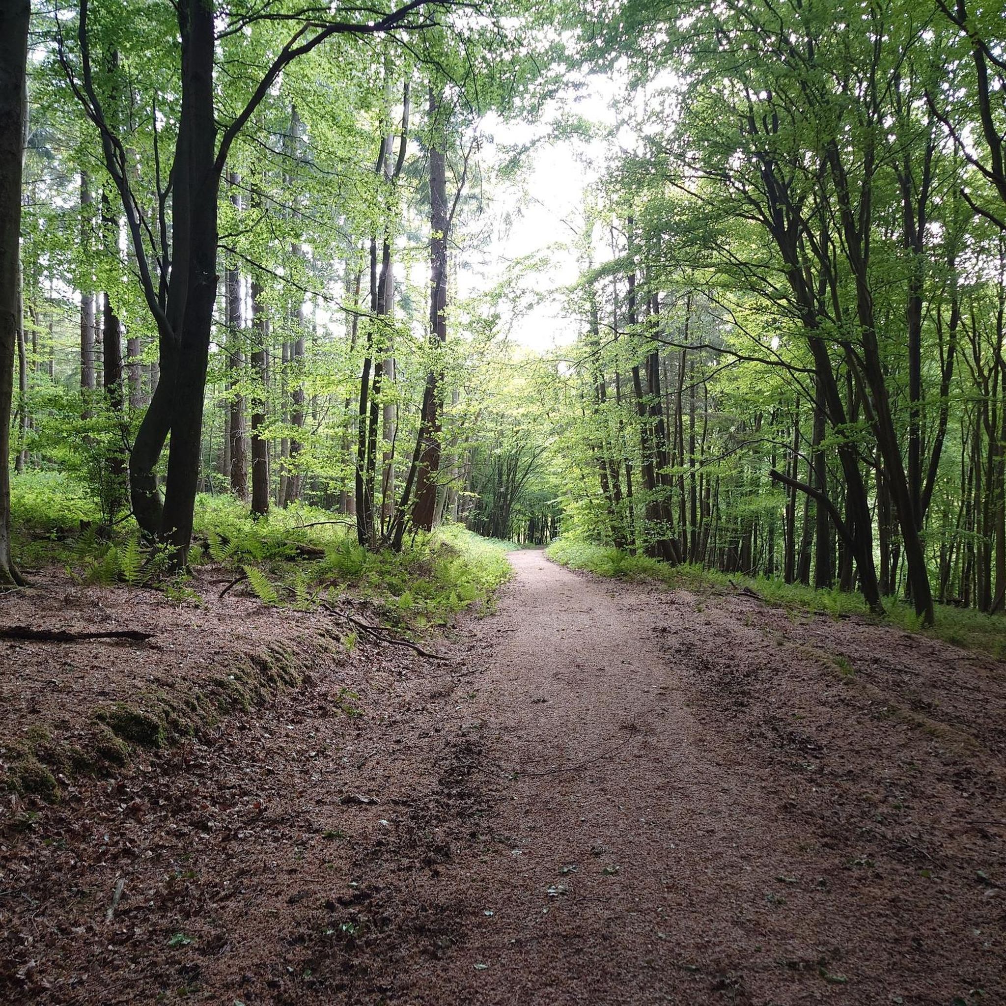
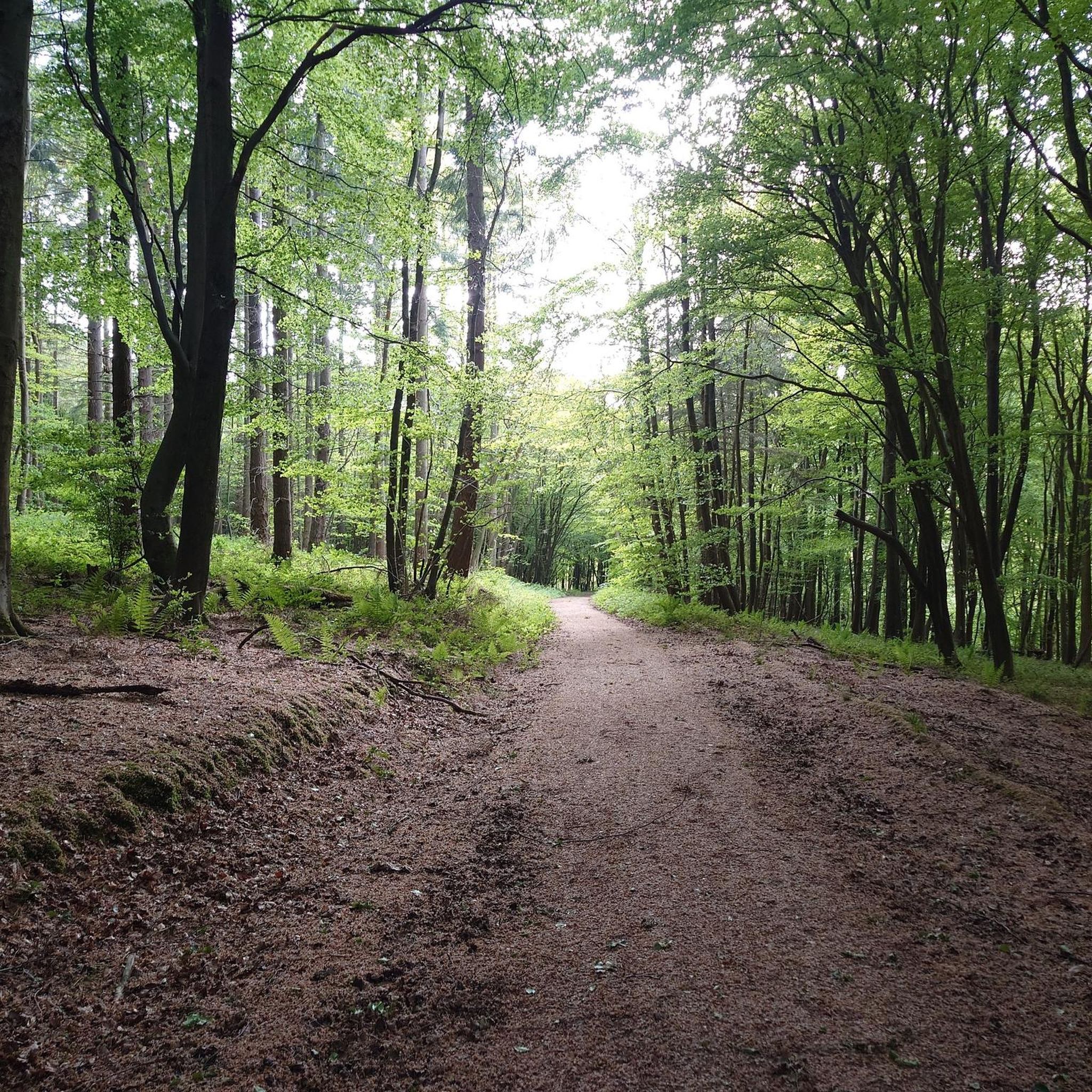
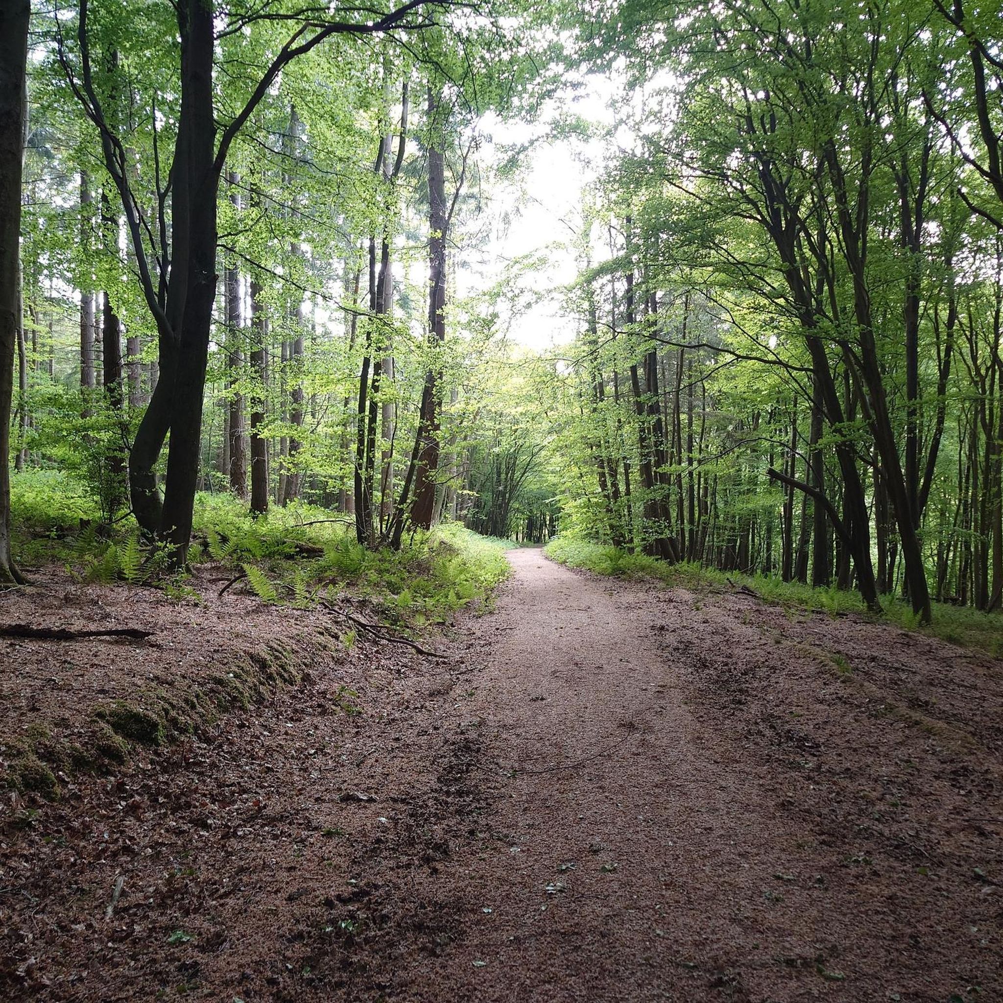
Mountain biking around Upper Hardres offers diverse landscapes with hilly terrain and extensive woodlands. The area is situated within the Kent Downs National Landscape, characterized by ancient bluebell woodlands and chalk grassland. The soil, often chalk or "hungry red earth" with "sharp flint stones," provides varied and sometimes challenging terrain for mountain bikers. This region presents a network of routes suitable for different skill levels.
Best mountain bike trails around Upper Hardres
- The most popular mountain bike trail is North…
Last updated: August 25, 2026
4.5
(6)
32
riders
45.7km
03:27
560m
560m
Moderate mountain bike ride. Good fitness required. Suitable for all skill levels.
3.0
(1)
12
riders
7.90km
00:44
120m
120m
Easy mountain bike ride. Great for any fitness level. Suitable for all skill levels.

Sign up for free
4.3
(8)
9
riders
22.0km
01:47
340m
340m
Moderate mountain bike ride. Good fitness required. Suitable for all skill levels.
10
riders
Hard mountain bike ride. Very good fitness required. Suitable for all skill levels.
5.0
(1)
2
riders
Moderate mountain bike ride. Good fitness required. Suitable for all skill levels.
Get access to more routes and recommendations from other explorers.
Sign up for free
Already have an account?
Our route recommendations are based on thousands of hikes, rides, and runs completed by other people on komoot.
Start today with a free account
Your next adventure awaits.
Login or Signup
Tips from the Community

Botany Bay, one of Thanet's most photographed bays, is famous. This hidden gem offers breathtaking views of white cliffs and beautiful chalk formations. At low tide, Botany Bay is an ideal spot for fossil hunting and exploring the tide pools. At high tide, there's plenty of exposed sand to discover, but due to the bay's shape, the ends are cut off at high tide. Helpful tide chart website: https://www.tideschart.com/United-Kingdom/England/Southend--on--Sea/Botany-Bay-Beach/
3
0

Junction of Kingsmill Down and the North Downs Way. Very sharp climb up to here
0
0

Agree with Matt - this part of the circuit is not rideable. The terrain is a deep gully of chalk which means pedals scrape either side - there are also exposed pipes in the floor. Trees cover the path and it’s a very impracticable and steep ending.
2
0


Stunning location, visible for miles on the approach along the coast. Great coffee and flapjack in the cafe too.
4
0


At the end of the pier is a restaurant/cafe
1
0
Frequently Asked Questions
What kind of terrain can I expect when mountain biking around Upper Hardres?
Mountain biking around Upper Hardres features diverse landscapes with hilly terrain and extensive woodlands. The area is situated within the Kent Downs National Landscape, characterized by ancient bluebell woodlands and chalk grassland. You'll encounter varied and sometimes challenging terrain, often consisting of chalk or "hungry red earth" with "sharp flint stones".
How many mountain bike trails are available in Upper Hardres?
There are over 40 mountain bike trails around Upper Hardres, catering to various skill levels. This includes 12 easy routes, 26 moderate routes, and 4 difficult routes, ensuring options for everyone from beginners to experienced riders.
Are there any easy mountain bike trails suitable for families or beginners?
Yes, Upper Hardres offers several easy mountain bike trails. An excellent option for families or beginners is the Covert Woods – View of Kent Downs Valley loop from Jumping Downs. This 10 km path winds through hilly terrain and woodlands, providing a pleasant and accessible ride.
What are some notable natural features or viewpoints I can experience on the trails?
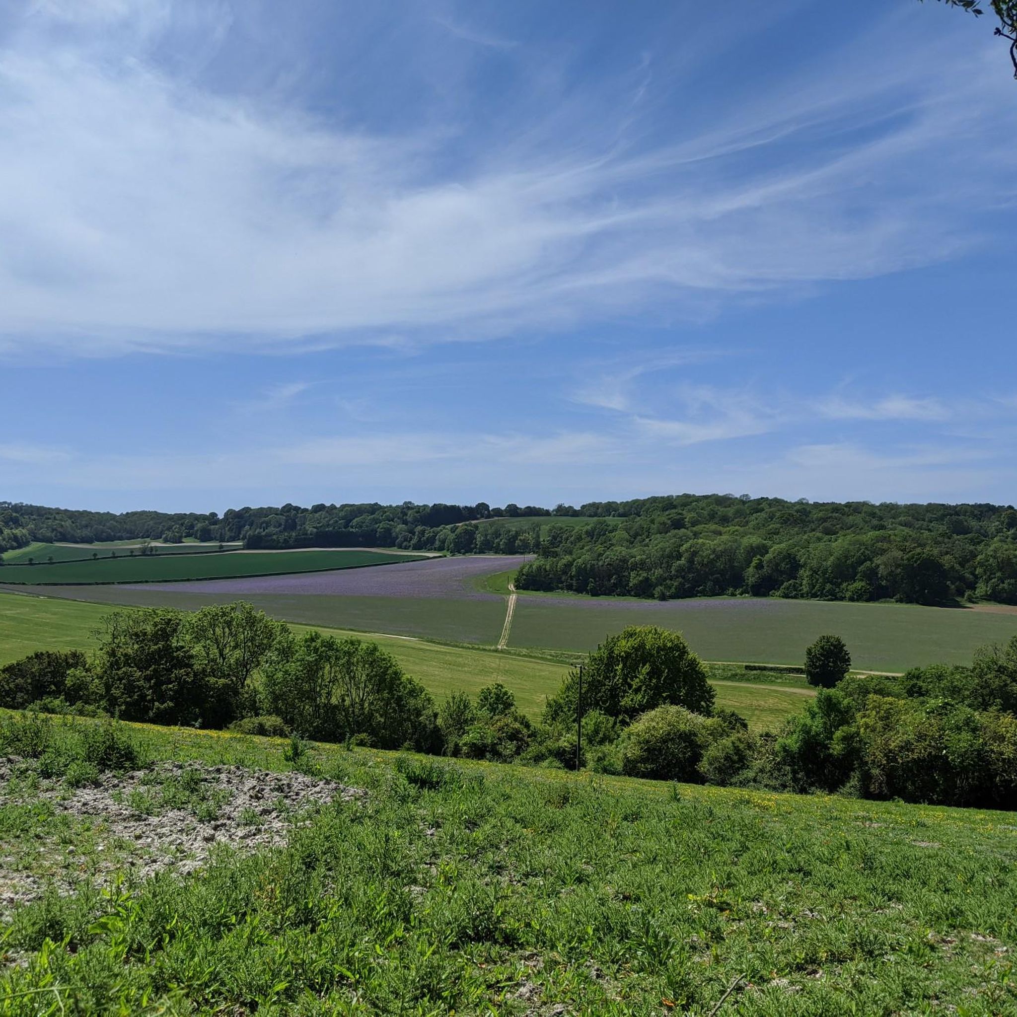
The region, part of the Kent Downs National Landscape, offers stunning natural features. You can find ancient bluebell woodlands and chalk grassland. While specific viewpoints directly on the listed routes aren't detailed, the Kent Downs generally offers panoramic views, including the Wye Crown viewpoint and the Devil's Kneading Trough, which provide epic vistas over the Kent Downs and even to the English Channel.
What do other mountain bikers say about the trails in Upper Hardres?
The mountain bike routes in Upper Hardres are highly rated by the komoot community, with an average score of 4.6 stars from over 45 reviews. More than 300 mountain bikers have used komoot to explore the varied terrain, often praising the diverse landscapes and extensive woodlands.
Are there any longer, more challenging mountain bike routes for experienced riders?
For experienced riders seeking a challenge, the Botany Bay Chalk Cliffs – Reculver Towers and Roman Fort loop from Bekesbourne is a difficult 103.8 km trail. Another longer, moderate option is the North Downs Way & King's Wood loop from Canterbury – Kent Downs, which covers 45.7 km.
Can I find circular mountain bike routes in the Upper Hardres area?
Yes, many of the mountain bike trails around Upper Hardres are designed as loops. Examples include the West Wood – Lyminge Forest loop from Rhodes Minnis and the Nature Mural on Cycle Path – Dirt Track Through Denge Woods loop from Canterbury East, offering convenient circular journeys.
What attractions are near the mountain bike trails in Upper Hardres?
Beyond the trails, you can explore several attractions. Nearby lakes include Chequers Wood and Old Park and Thanington Lakes on the Great Stour Way. For historical sites, consider visiting Westgate Towers or Chilham Square, a picturesque Kentish village with a castle and park.
Are there specific forests or woodlands popular for mountain biking in this region?
Yes, several woodlands are popular for mountain biking. King's Wood is featured in the North Downs Way & King's Wood loop, and Lyminge Forest is part of the West Wood – Lyminge Forest loop. These areas offer extensive tree cover and varied trails.
What is the best time of year to go mountain biking in Upper Hardres?
The Kent Downs National Landscape, where Upper Hardres is located, is beautiful throughout the year. Ancient bluebell woodlands are particularly stunning in spring. However, given the chalk and flint terrain, conditions can vary seasonally. Autumn offers vibrant foliage, while summer provides warmer, drier trails. Winter rides are possible but may involve muddier conditions.
Are there any specific mountain biking parks or dedicated trail centers nearby?
While Upper Hardres itself is more about natural trails, the nearby Old Park Mountain Bike Trails are a dedicated area for mountain biking. Additionally, Forestry England highlights family-friendly off-road cycling routes and dedicated mountain bike trails in nearby forests within the broader Kent area.
Most popular routes around Upper Hardres
Most popular attractions around Upper Hardres

Get inspired with the komoot mobile app


Explore more
Browse the best MTB trails in other regions.
