The best running trails around Ashleyhay
4.5
(80)
11,892
runners
655
runs
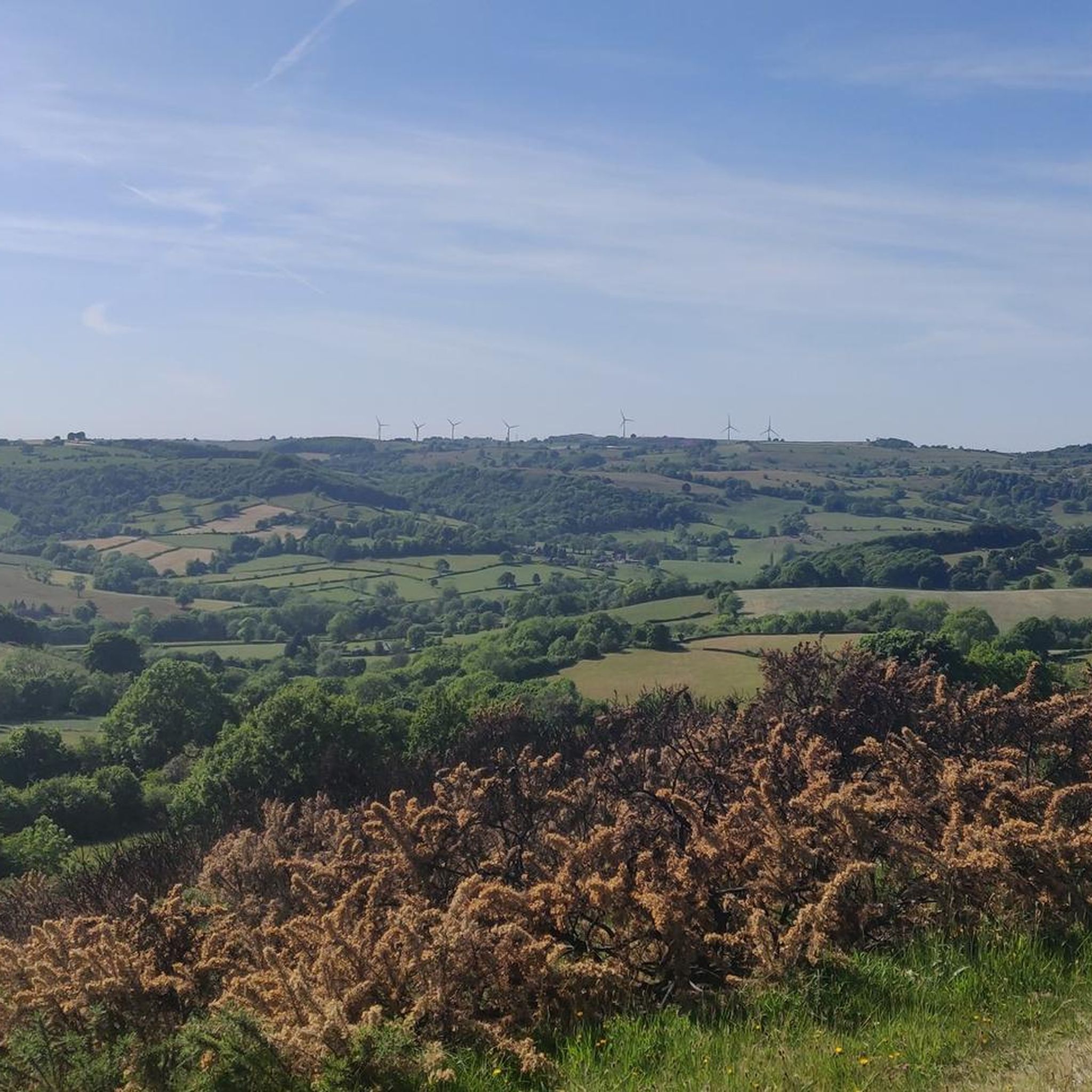
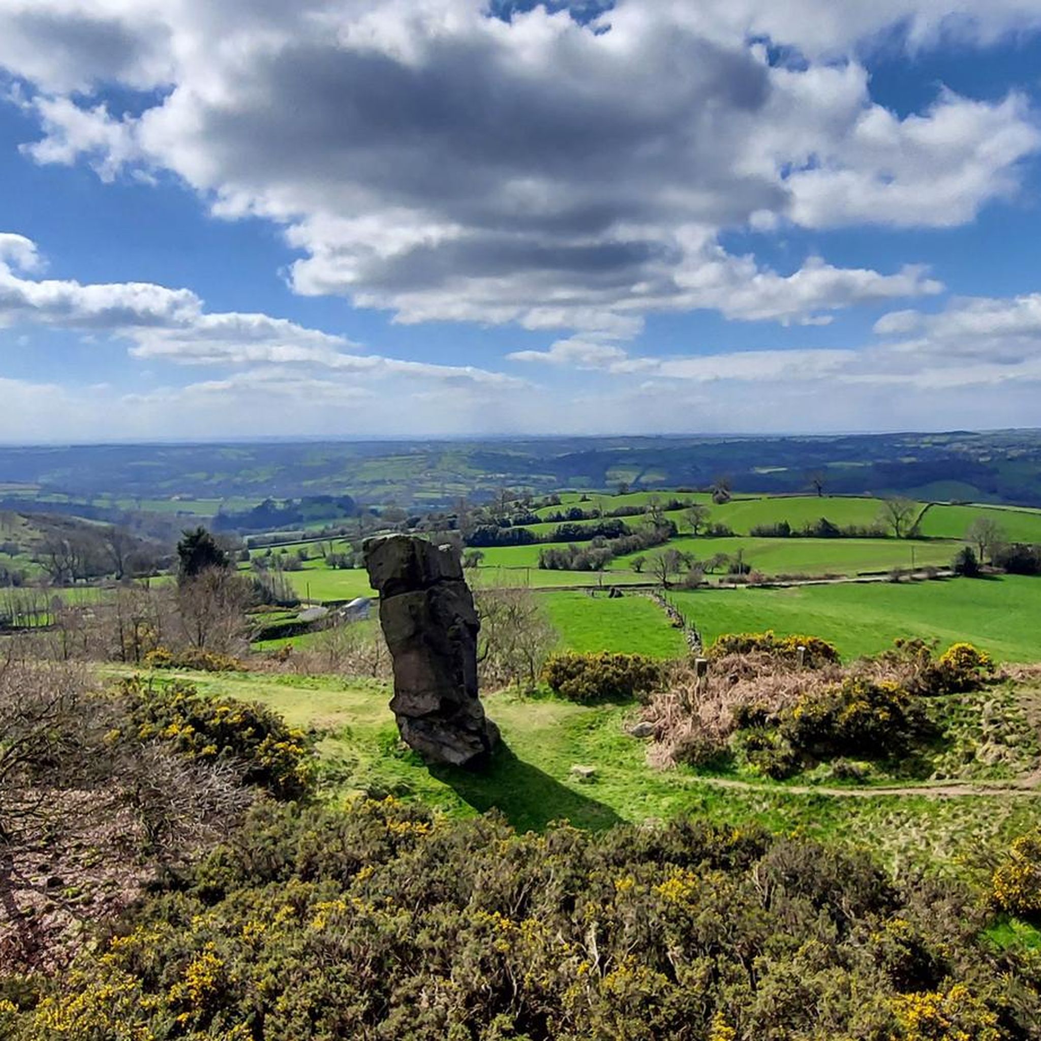
Jogging routes around Ashleyhay traverse a landscape characterized by rolling hills, ancient woodlands, and river valleys in the Amber Valley district of Derbyshire. The region features elevated ground such as Alport Heights, offering views of the surrounding countryside. Gritstone outcrops like Black Rocks provide varied terrain for running. Trails often follow former railway lines, including sections of the High Peak Trail, and pass through designated natural areas.
Best jogging routes around Ashleyhay
- The most popular jogging route is Carsington Water…
Last updated: July 8, 2026
3.0
(1)
267
runners
15.8km
01:40
150m
150m
Hard run. Very good fitness required. Mostly paved surfaces. Suitable for all skill levels.
26
runners
32.2km
03:27
430m
430m
Hard run. Very good fitness required. Mostly paved surfaces. Suitable for all skill levels.

Sign up for free
19
runners
7.00km
00:51
240m
240m
Moderate run. Good fitness required. Mostly paved surfaces. Suitable for all skill levels.
9
runners
22.4km
02:36
570m
570m
Hard run. Very good fitness required. Mostly paved surfaces. Suitable for all skill levels.
11
runners
11.8km
01:17
230m
230m
Moderate run. Good fitness required. Mostly paved surfaces. Suitable for all skill levels.
Get access to more routes and recommendations from other explorers.
Sign up for free
Already have an account?
Our route recommendations are based on thousands of hikes, rides, and runs completed by other people on komoot.
Start today with a free account
Your next adventure awaits.
Login or Signup
Tips from the Community

Tough hill to climb at constant incline but worth it when get to top, view are amazing
0
0

Incredible engineering from the past when railway wagons were winched up and down the inclines.
0
0

Great spot especially when the engine is running.
0
0


The engine house is but a shell these days but a waypoint nonetheless. Great views over the valley make this a get place for a break. Some seating.
0
0
A destination but absolutely no view now that the trees have grown. Now when I was a lad ...
0
0

Frequently Asked Questions
How many running routes are available around Ashleyhay?
There are over 650 running routes around Ashleyhay, offering a wide range of options for different fitness levels and preferences. These include easy paths, moderate trails, and more challenging runs.
Are there easy running routes suitable for beginners in Ashleyhay?
Yes, Ashleyhay offers around 78 easy running routes. These often traverse gentler paths through ancient woodlands like Shining Cliff Wood or follow sections of former railway lines, providing a more relaxed experience for beginners.
What kind of terrain can I expect on jogging trails in Ashleyhay?
Jogging trails in Ashleyhay feature diverse terrain, from picturesque rolling hills and serene ancient woodlands to river valleys. You'll also encounter gritstone outcrops like Black Rocks, which present more challenging sections, and elevated areas such as Alport Heights offering expansive views.
Are there any circular running routes in Ashleyhay?
Yes, many of the running routes around Ashleyhay are circular, allowing you to start and finish at the same point. For example, the Carsington Water – Hall Wood and Middle Wood loop from Kirk Ireton is a popular moderate circular option.
What are some notable landmarks or viewpoints along the running routes?
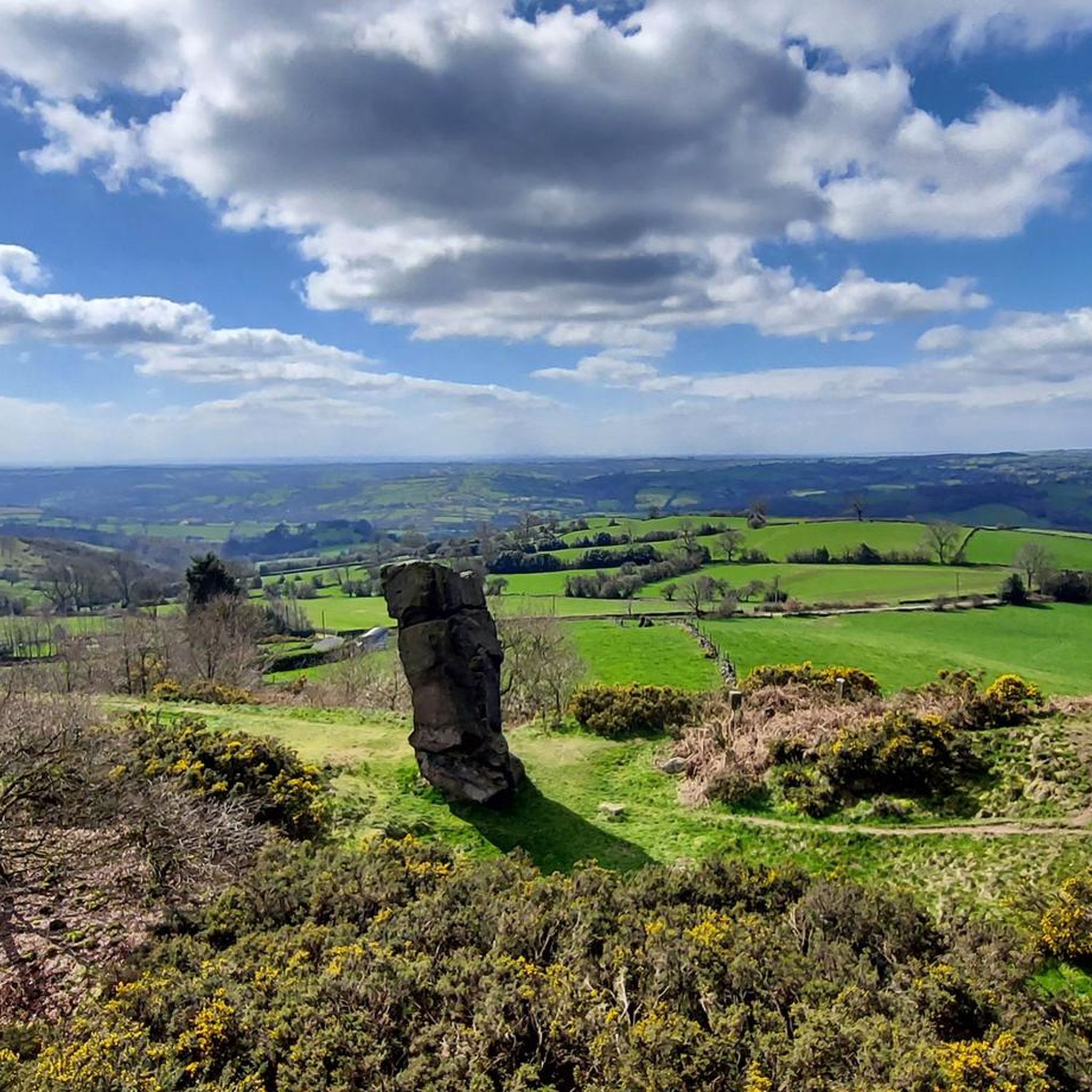
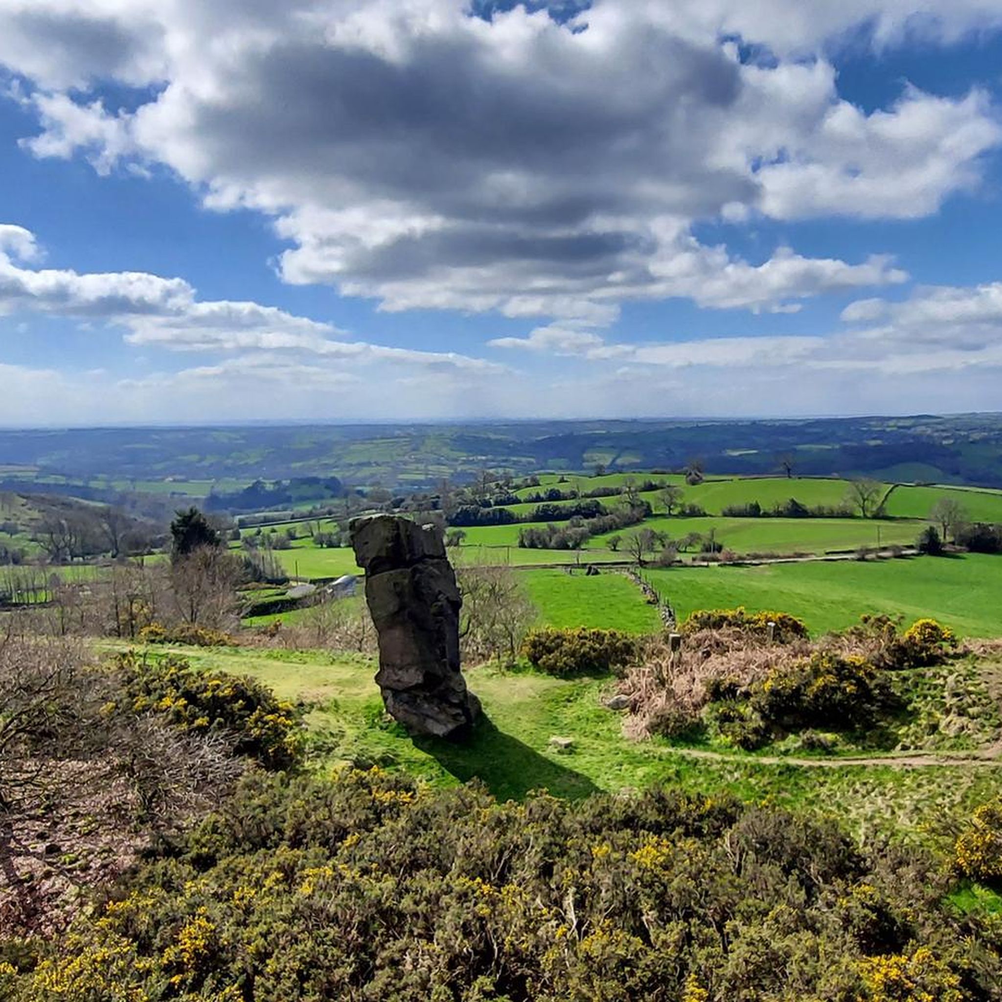
Runners can enjoy several notable landmarks and viewpoints. High Tor and Giddy Edge offer stunning vistas, while Black Rocks provides impressive gritstone formations. Alport Heights, with its distinctive Alport Stone, also offers extensive views of the surrounding countryside.
Are there any running routes that pass by waterfalls?
Yes, for those who enjoy running near water features, the Lumsdale Valley Mill Ruins and Waterfall is a highlight you might encounter or plan a route around. It offers a scenic spot with historical interest.
Are the running trails in Ashleyhay suitable for families?
Many trails in Ashleyhay are suitable for families, especially the easier, flatter sections through woodlands or along former railway lines like the High Peak Trail. These provide a safe and enjoyable environment for a family run or walk.
Can I bring my dog on the running routes in Ashleyhay?
Generally, dogs are welcome on many of the public footpaths and trails around Ashleyhay. However, it's always advisable to keep dogs under control, especially near livestock, and to check for any specific local restrictions or signage in nature reserves or private land.
What do other runners enjoy most about jogging in Ashleyhay?
The running routes in Ashleyhay are highly rated by the komoot community, with an average score of 4.5 stars from over 70 reviews. Runners often praise the diverse terrain, the scenic views from elevated points like Alport Heights, and the peaceful atmosphere of ancient woodlands such as Shining Cliff Wood.
Are there any longer, more challenging running routes for experienced runners?
Absolutely. For experienced runners seeking a challenge, routes like the High Peak Junction – Wyver Lane Nature Reserve loop from Alderwasley CP offer a difficult 20.0 miles (32.2 km) path with significant elevation changes, exploring nature reserves and sections of the High Peak Trail.
Where can I find parking for running routes in Ashleyhay?
Parking is available at various points around Ashleyhay, often near trailheads or in nearby villages. For instance, routes starting from Wirksworth CP or Alderwasley CP provide convenient access. It's recommended to check specific route details for the most suitable parking locations.
Are there any pubs or cafes near the running routes in Ashleyhay?
While Ashleyhay itself is a small village, the surrounding area and nearby villages like Whatstandwell and Alderwasley offer amenities including pubs and cafes where you can refuel after your run. These establishments are often located conveniently close to popular trail access points.
What is the best time of year for running in Ashleyhay?
Ashleyhay offers beautiful running conditions throughout the year. Spring and autumn provide pleasant temperatures and vibrant scenery, while summer allows for longer daylight hours. Winter runs can be picturesque, but trails may be muddy or icy, so appropriate gear is essential.
Most popular attractions around Ashleyhay

Get inspired with the komoot mobile app


Explore more
Browse the best Running Trails & Routes in other regions.
