The best running trails around Bonnington
4.2
(20)
2,169
runners
147
runs
Jogging routes around Bonnington traverse a landscape characterized by the historic Royal Military Canal, the expansive, low-lying Romney Marsh, and the varied terrain of Ham Street Woods. This rural Kent parish offers a network of trails, from flat canal paths to more undulating woodland routes. The region's natural features provide diverse running experiences suitable for various fitness levels.
Best jogging routes around Bonnington
- The most popular jogging route is Blind Lane Descent loop from Aldington, a 5.4 miles (8.6…
Last updated: September 30, 2026
9
runners
8.70km
00:54
70m
70m
Moderate run. Good fitness required. Mostly paved surfaces. Suitable for all skill levels.
7
runners
7.60km
00:48
20m
20m
Moderate run. Good fitness required. Mostly paved surfaces. Suitable for all skill levels.

4
runners
10.5km
01:07
90m
90m
Moderate run. Good fitness required. Mostly paved surfaces. Suitable for all skill levels.
3
runners
10.3km
01:04
10m
10m
Moderate run. Good fitness required. Mostly paved surfaces. Suitable for all skill levels.
3
runners
12.5km
01:17
20m
20m
Moderate run. Good fitness required. Mostly paved surfaces. Suitable for all skill levels.
Get access to more routes and recommendations from other explorers.
Already have an account?
Our route recommendations are based on thousands of hikes, rides, and runs completed by other people on komoot.
Start today with a free account
Your next adventure awaits.
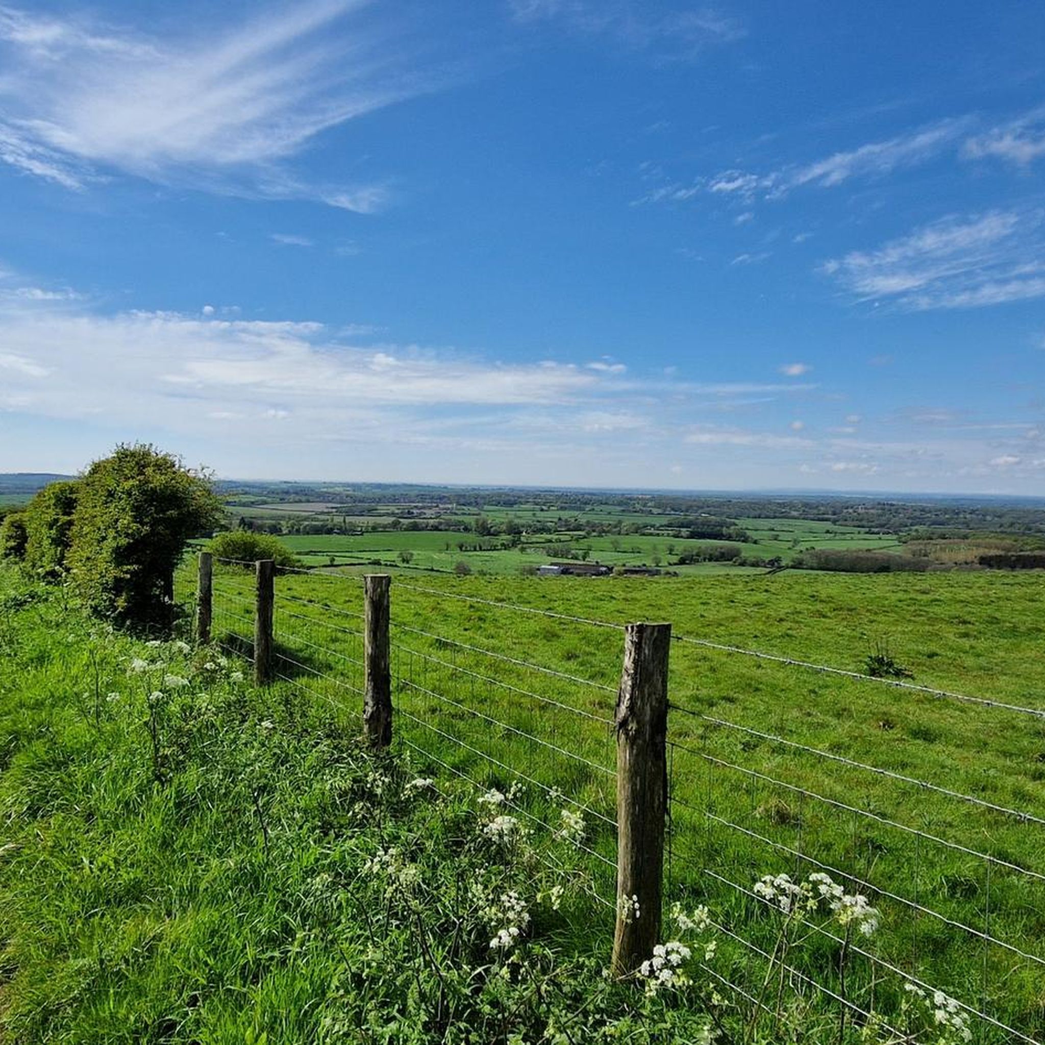
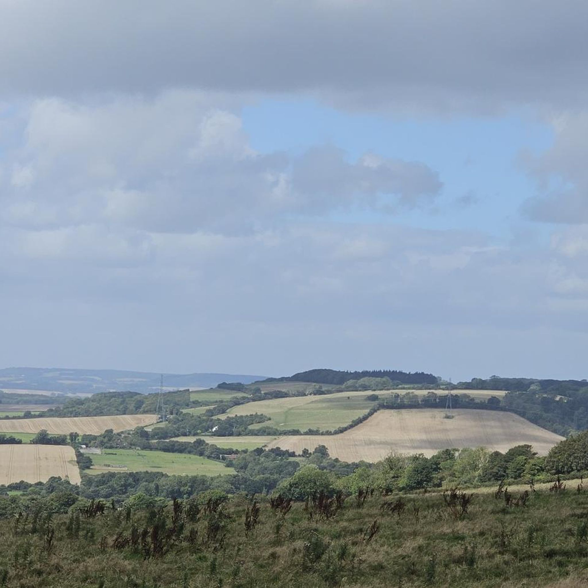
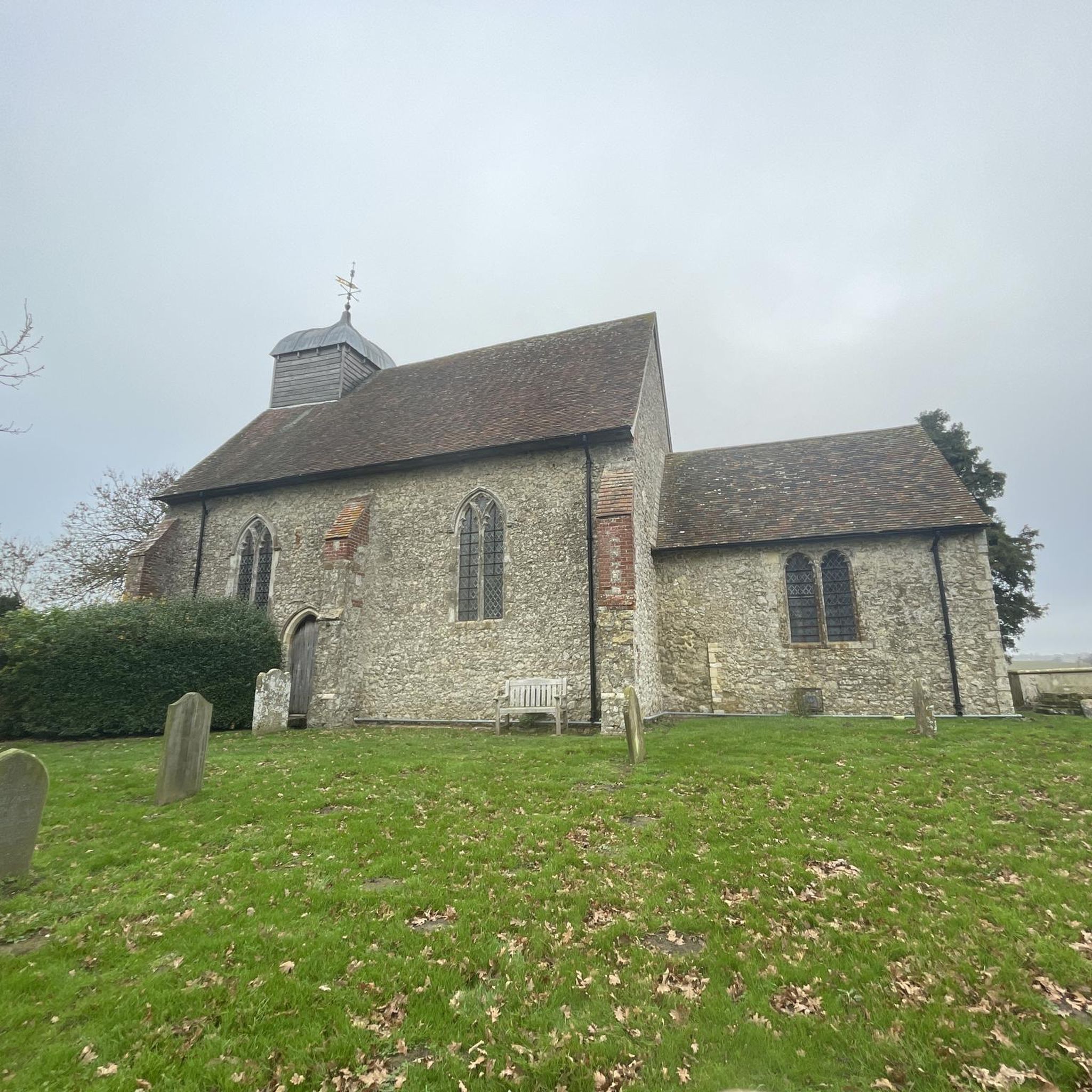
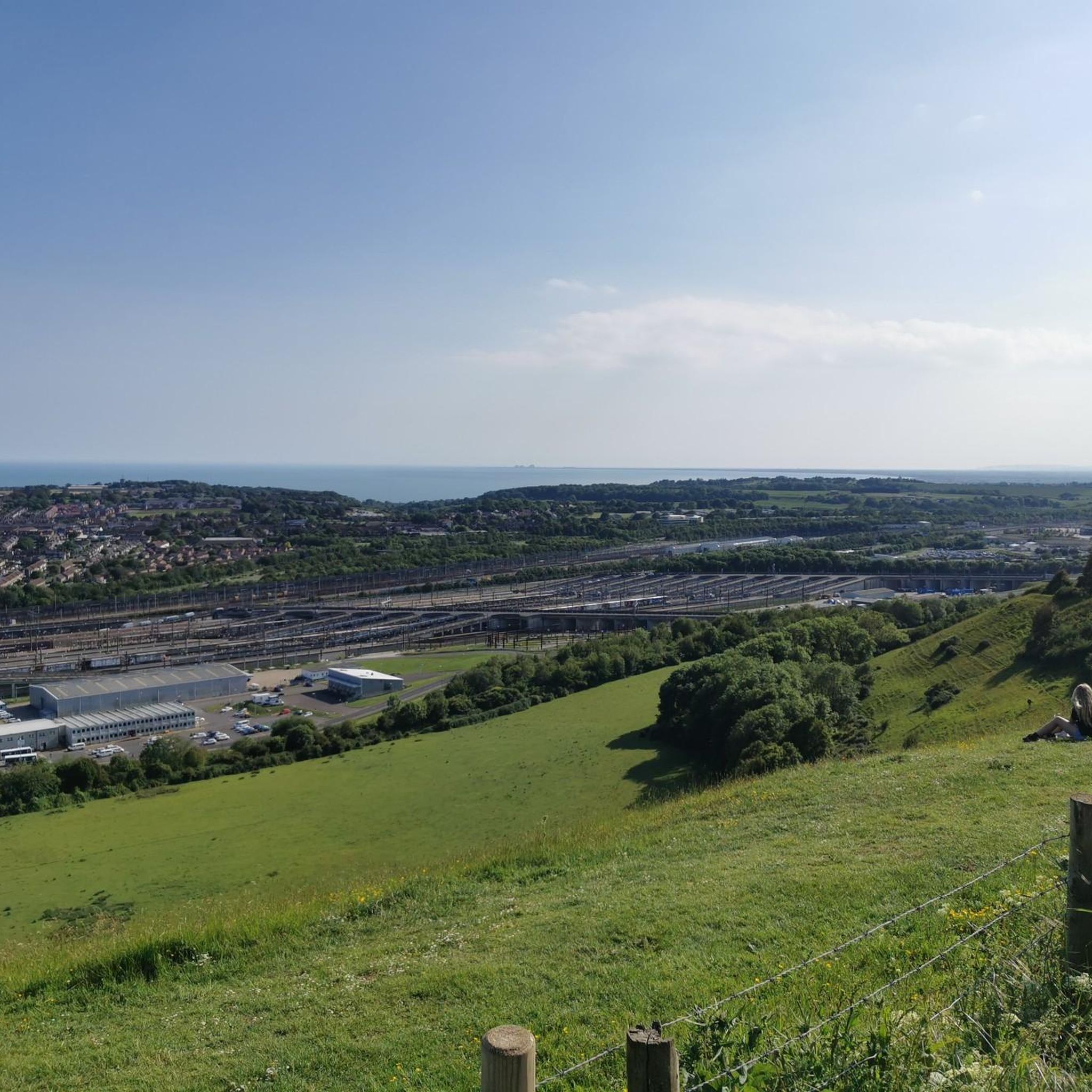
Tips from the Community

This is a really worthwhile stop to add to your route.
0
0

Royal Air Force Newchurch or RAF Newchurch was a temporary Second World War airfield at Newchurch, Kent. It was a base for a Hawker Tempest wing
1
0


There were four ALGs built on Romney Marsh as well as others across the South East, but Newchurch was to become one of the most successful and busiest of all. They were temporary airfields built for a possible invasion of France
0
0
Frequently Asked Questions
How many running routes are available around Bonnington?
Bonnington offers a wide selection of running routes, with over 160 trails available. These range from easy, flat paths to more challenging routes with gentle inclines, ensuring options for various fitness levels.
What kind of terrain can I expect on jogging trails in Bonnington?
The terrain in Bonnington is quite varied. You'll find largely flat and well-maintained paths along the historic Royal Military Canal, extensive footpaths across the low-lying Romney Marsh, and more undulating woodland trails within Ham Street Woods National Nature Reserve. This mix provides diverse running experiences.
Are there any easy or beginner-friendly running routes in Bonnington?
Yes, Bonnington has several easy running routes, with 13 trails specifically categorized as easy. The paths along the Royal Military Canal are particularly suitable for beginners due to their flat and accessible nature, offering a relaxing run with scenic views.
Are there any circular running routes in the Bonnington area?
Yes, many of the running routes in Bonnington are circular, allowing you to start and finish at the same point. For example, the Blind Lane Descent loop from Aldington and the Running loop from Ham Street Woods National Nature Reserve are popular circular options.
What are some notable natural features or landmarks I might see while running in Bonnington?
While running in Bonnington, you can explore the historic Royal Military Canal, which offers tranquil waterside views. You'll also traverse parts of the unique Romney Marsh with its expansive, remote landscapes. Ham Street Woods National Nature Reserve provides a beautiful woodland setting. For specific points of interest, consider the Gravel Path Along Royal Military Canal or the Ham Street Woods Nature Reserve itself.
What do other runners say about the trails in Bonnington?
The running routes in Bonnington are highly regarded by the komoot community, holding an average rating of 4.3 stars from 13 reviews. Runners often praise the peaceful environment, the variety of landscapes from canal paths to woodlands, and the well-maintained trails suitable for different abilities.
Are there any long-distance running options available?
Yes, for those looking for longer runs, the extensive network of footpaths across Romney Marsh and along the Royal Military Canal provides ample opportunities. The canal path alone stretches for 28 miles, allowing for significant distances to be covered, often with minimal elevation changes.
Can I find routes that offer a mix of woodland and open field scenery?
Absolutely. Routes like the East Stour loop from Aldington Frith lead through open fields and rural pathways. Many routes also connect to Ham Street Woods National Nature Reserve, offering a refreshing change of scenery with wooded sections.
Are there any routes that follow historic waterways?
Yes, the Royal Military Canal is a significant feature for runners in Bonnington. The Royal Military Canal loop from Ruckinge is an excellent example, offering a scenic run alongside this historic waterway, which was originally built as a defense against Napoleonic invasion.
What is the typical duration for a running route in Bonnington?
Running durations vary depending on the route and your pace. Many popular routes, such as the Blind Lane Descent loop from Aldington (5.4 miles), take approximately 54 minutes. Longer routes, like the East Stour loop from Aldington Frith (6.6 miles), can take around 1 hour 7 minutes.
Are there routes suitable for running with dogs?
While specific dog-friendly designations for every route are not listed, the rural nature of Bonnington, with its extensive footpaths across Romney Marsh and through Ham Street Woods, generally makes it a welcoming area for responsible dog owners. Always ensure your dog is under control, especially near livestock or wildlife.
What kind of wildlife might I encounter on the trails?
Bonnington's diverse habitats are home to various wildlife. Along the Royal Military Canal, you might spot dragonflies, marsh frogs, and kingfishers, especially in summer. Ham Street Woods is known for rare birds, moths, butterflies, and protected species like the great crested newt and dormouse.
Most popular routes around Bonnington
Most popular attractions around Bonnington

Get inspired with the komoot mobile app


Explore more
Browse the best Running Trails & Routes in other regions.
