The best running trails around Kirk Ireton
4.3
(40)
6,173
runners
14
runs
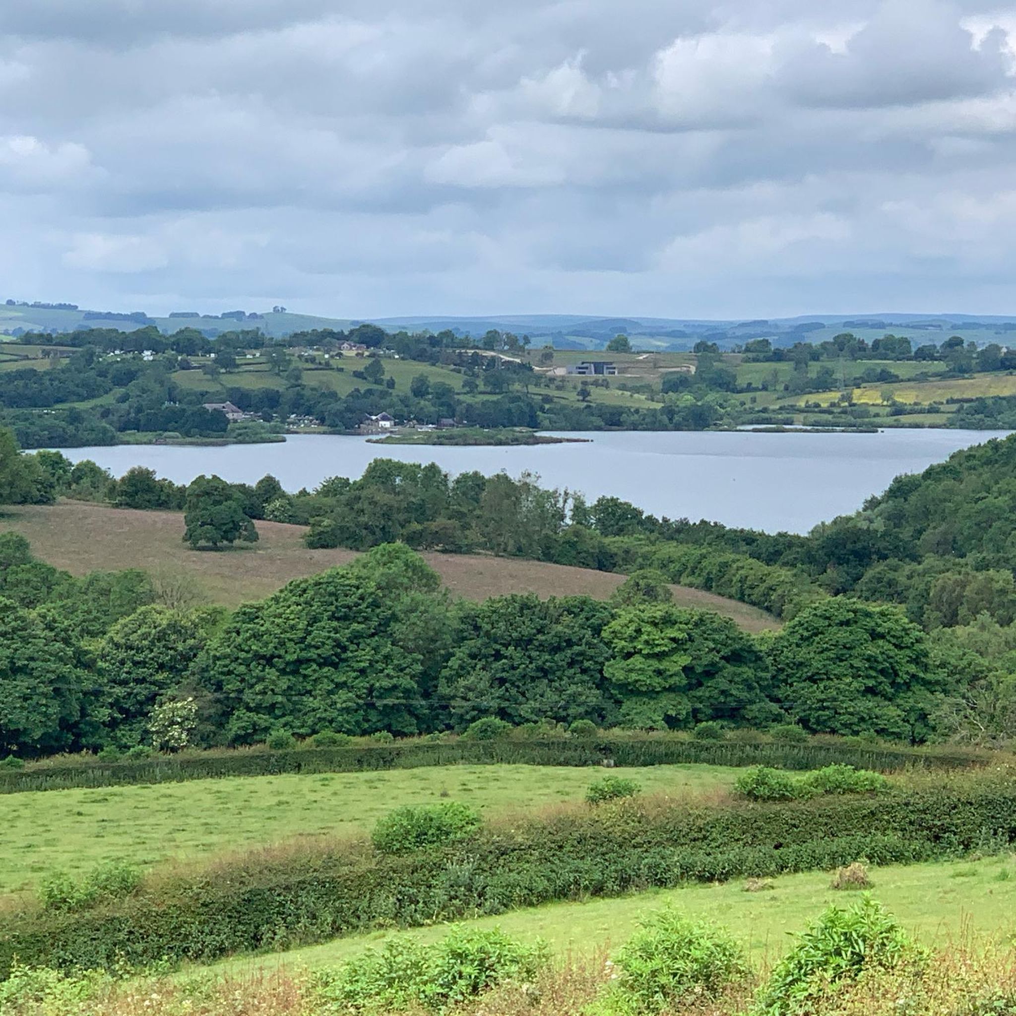
Jogging around Kirk Ireton offers diverse terrain across an undulating landscape of rolling hills and quiet country lanes. The region, situated just south of the Peak District National Park, features ancient farmlands and well-maintained paths. Proximity to Carsington Water provides additional running routes with open views. This area is characterized by varied elevations and rural charm, making it suitable for different running preferences.
Best jogging routes around Kirk Ireton
- The most popular jogging route is Carsington Carved Hut – Carsington…
Last updated: July 8, 2026
72
runners
Moderate run. Good fitness required. Mostly paved surfaces. Suitable for all skill levels.
3.0
(1)
267
runners
15.8km
01:40
150m
150m
Hard run. Very good fitness required. Mostly paved surfaces. Suitable for all skill levels.

Sign up for free
11
runners
11.8km
01:17
230m
230m
Moderate run. Good fitness required. Mostly paved surfaces. Suitable for all skill levels.
12
runners
3.87km
00:26
50m
50m
Easy run. Great for any fitness level. Mostly paved surfaces. Suitable for all skill levels.
9
runners
20.3km
02:09
240m
240m
Hard run. Very good fitness required. Mostly paved surfaces. Suitable for all skill levels.
Get access to more routes and recommendations from other explorers.
Sign up for free
Already have an account?
Our route recommendations are based on thousands of hikes, rides, and runs completed by other people on komoot.
Start today with a free account
Your next adventure awaits.
Login or Signup
Tips from the Community


Nice quiet back road that’s a good steady climb. The surface is a little broken in parts but nothing to spoil your enjoyment of the peace & beauty
0
0

Take a silly pic and post on this highlight, enjoying the ones so far!
0
0
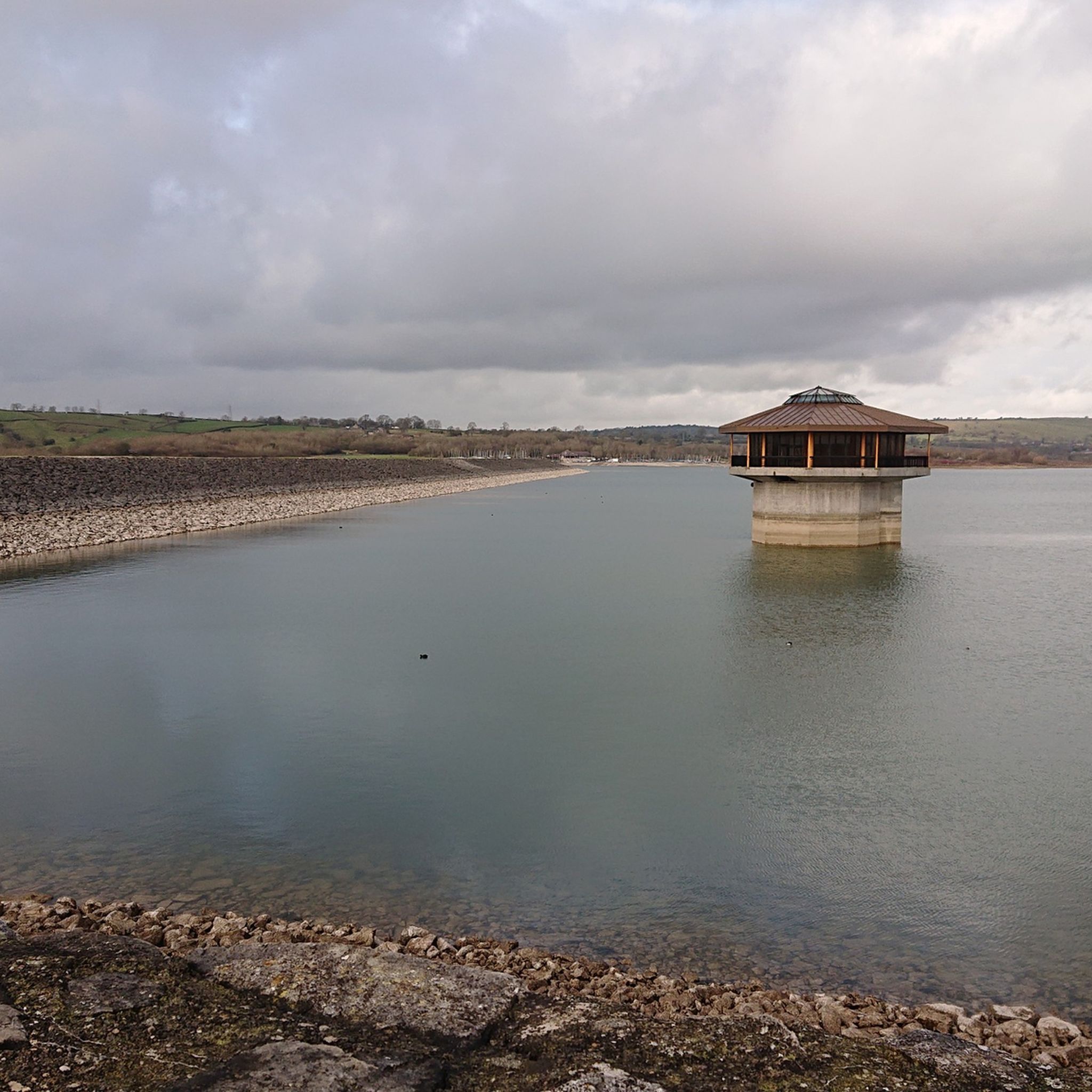
Nice little tower nearer to the end of our walk. Informative board with the details and its nice you can walk to the top of the tower!
1
0
This tower was initially a mystery to us, but we later discovered that it houses the pumping system for the water. It also looks quite cool floating on the water.
1
0

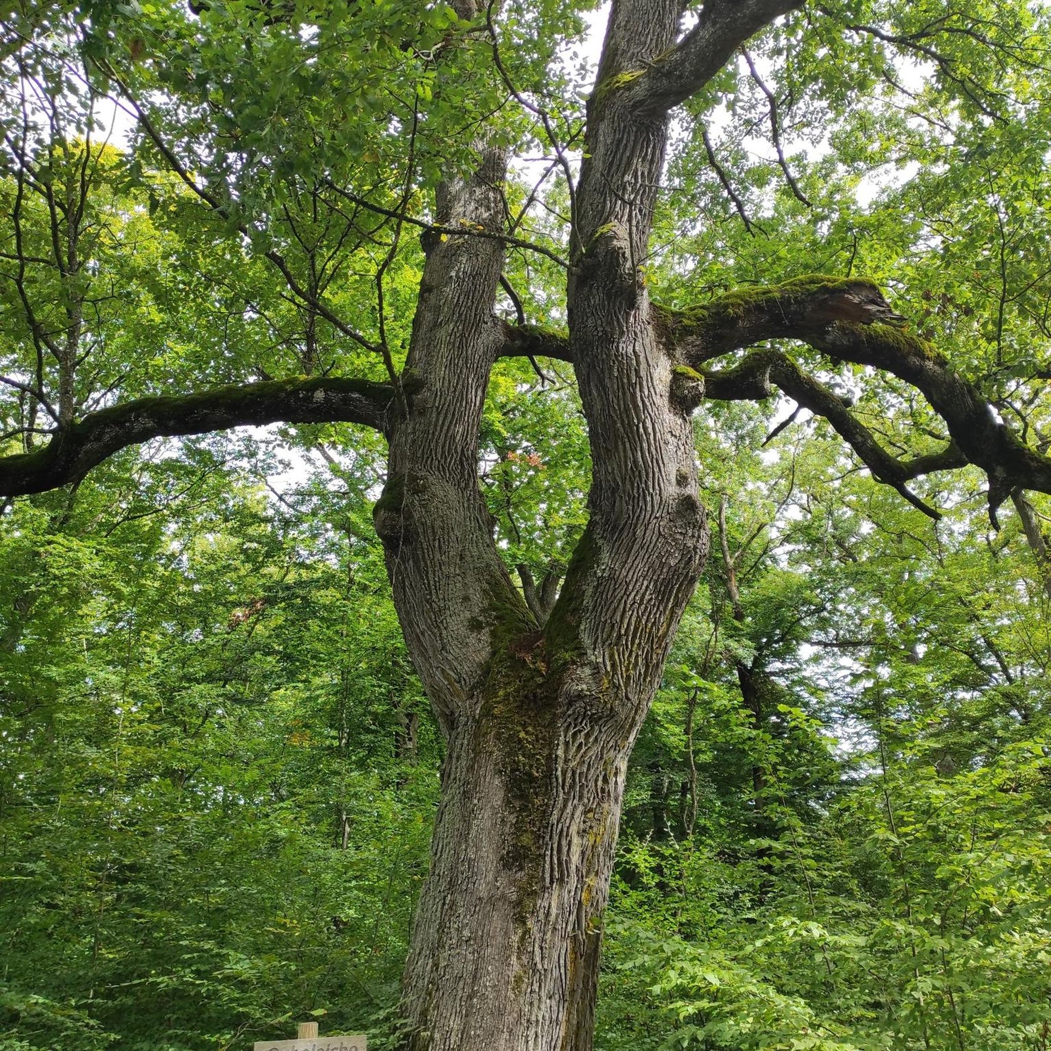
Hall Wood and Middle Wood are attractive native woodlands found on the North-eastern shore of Carsington Water, with a good quality track running through them.
1
0
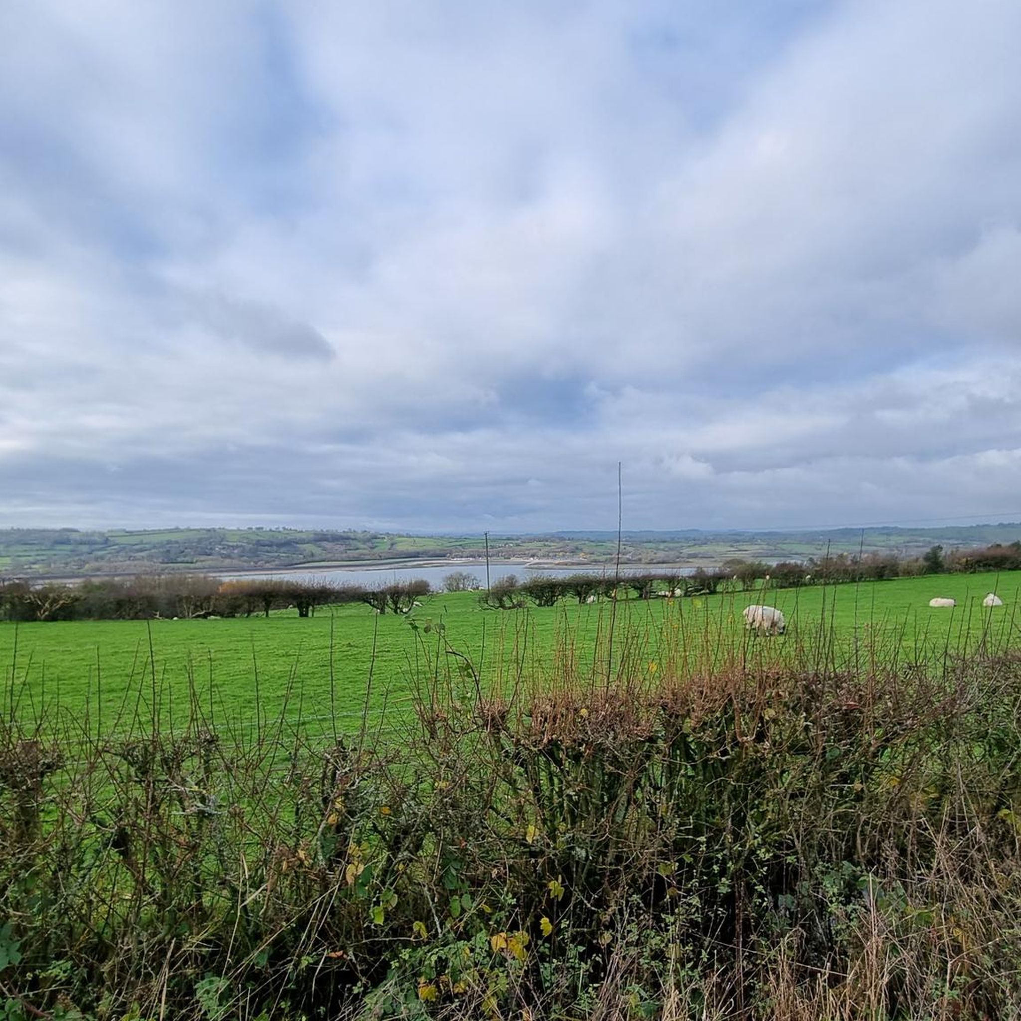
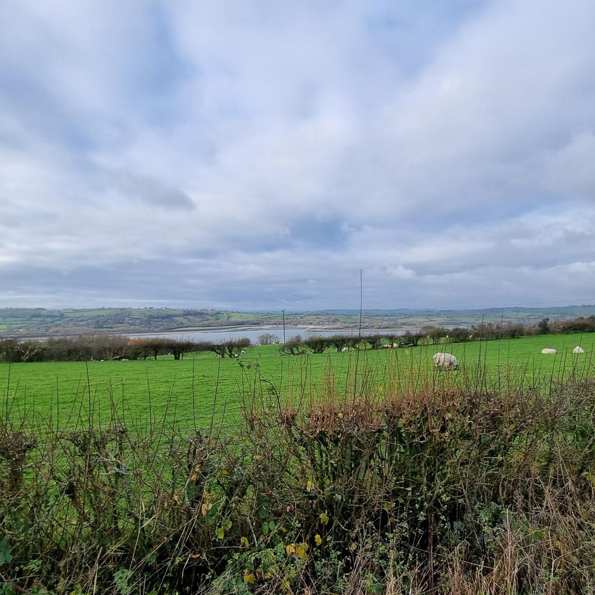
Great quality paths and fantastic views await you at Carsington Water.
1
0
If you need a breather on the way round, someone has thoughtfully installed a carved wooden armchair in the middle of a field for you to rest your legs and take in the view.
1
0
Frequently Asked Questions
What kind of terrain can I expect on running routes around Kirk Ireton?
Jogging routes around Kirk Ireton feature a diverse and undulating landscape. You'll encounter rolling hills, quiet country lanes, and ancient farmlands. Many paths also run alongside Carsington Water, offering flatter sections and open views. The area's proximity to the Peak District National Park means you can expect varied elevations suitable for different fitness levels.
Are there running routes suitable for beginners or those looking for an easy run?
Yes, Kirk Ireton offers several easy running routes. For instance, the Running loop from Hognaston CP is an easy 2.4-mile (3.8 km) trail through the local countryside, typically completed in about 25 minutes. There are 4 easy routes in total, providing gentle options for a relaxed run.
What are the typical lengths and difficulties of running trails in Kirk Ireton?
The running trails around Kirk Ireton vary significantly in length and difficulty. You can find shorter, easy loops like the Running loop from Hognaston CP at 2.4 miles (3.8 km), up to longer, more challenging runs such as the Carsington Water – View of Carsington Water loop from Kirk Ireton, which spans over 12.6 miles (20.3 km) and is considered difficult. Overall, there are 14 routes, with 4 easy, 8 moderate, and 2 difficult options.
Can I find circular running routes in the area?
Absolutely. Many of the running routes around Kirk Ireton are circular, allowing you to start and finish in the same location. Popular options include the Carsington Carved Hut – Carsington Carved Chair loop from Hognaston CP and the longer Carsington Water – Hall Wood and Middle Wood loop from Kirk Ireton. These loops are great for exploring the diverse landscape without retracing your steps.
Are there any scenic viewpoints or landmarks to see while running?
Yes, the area boasts several scenic spots and landmarks. While running near Carsington Water, you'll enjoy 'big sky' views. For more dramatic vistas, consider routes that offer glimpses of nearby peaks like Thorpe Cloud or High Tor and Giddy Edge, which provide spectacular views over Matlock Bath. The Carsington Water – View of Carsington Water loop from Kirk Ireton is specifically designed for scenic enjoyment.
What do other runners think about the trails in Kirk Ireton?
The running routes in Kirk Ireton are highly regarded by the komoot community, holding an average rating of 4.4 stars from over 40 reviews. Runners frequently praise the varied terrain, the beautiful 'big sky' views around Carsington Water, and the charming rural atmosphere of the ancient farmlands and quiet country lanes.
Are there any amenities like pubs or cafes near the running routes?
Yes, the village of Kirk Ireton itself has amenities that can be convenient before or after your run. The Barley Mow Inn and a community-run shop are available for refreshments. Additionally, routes around Carsington Water may offer facilities depending on your starting point.
Is Kirk Ireton a good place for family-friendly running or walks?
Kirk Ireton's varied landscape includes gentler paths and country lanes that can be suitable for family-friendly running or walks, especially the easier routes. The well-maintained paths around Carsington Water are particularly popular for families, offering a safe and scenic environment.
What are the options for parking when accessing running trails in Kirk Ireton?
While specific parking details for every route aren't listed, many routes, such as the Carsington Carved Hut – Carsington Carved Chair loop from Hognaston CP and the Running loop from Hognaston CP, indicate starting points from 'Hognaston CP' (Car Park), suggesting designated parking facilities are available at common access points for Carsington Water trails.
Are the running routes around Kirk Ireton suitable for dogs?
Many of the country lanes and public footpaths around Kirk Ireton are suitable for running with dogs. However, it's always recommended to keep dogs on a lead, especially when passing through farmlands with livestock or in areas with wildlife, and to check local signage for any specific restrictions.
What is the longest running route available in Kirk Ireton?
The longest running route featured is the Carsington Water – View of Carsington Water loop from Kirk Ireton, which is a challenging 12.6-mile (20.3 km) trail. This route offers an extensive run with significant elevation changes and panoramic views of Carsington Water.
Most popular routes around Kirk Ireton
Most popular attractions around Kirk Ireton

Get inspired with the komoot mobile app


Explore more
Browse the best Running Trails & Routes in other regions.
