The best cycling routes around Little Chart
4.6
(167)
1,200
riders
171
rides
Touring cycling around Little Chart offers routes through the scenic Kent Downs National Landscape, characterized by rolling hills and lush woodlands. The region features diverse terrains, from quiet country lanes to farm tracks, and includes the peaceful River Stour valley. While not directly coastal, the area provides access to broader Kent landscapes that can incorporate chalk cliffs and sea views.
Best touring cycling routes around Little Chart
- The most popular touring cycling route is Victoria Park Fountain – Pond loop…
Last updated: July 3, 2026
15
riders
17.2km
01:04
70m
70m
Easy bike ride. Great for any fitness level. Mostly paved surfaces. Suitable for all skill levels.
8
riders
108km
06:13
280m
280m
Hard bike ride. Very good fitness required. Mostly paved surfaces. Suitable for all skill levels.

Sign up for free
5.0
(1)
2
riders
26.8km
01:34
90m
90m
Easy bike ride. Great for any fitness level. Mostly paved surfaces. Suitable for all skill levels.
3
riders
27.0km
01:38
190m
190m
Moderate bike ride. Good fitness required. Mostly paved surfaces. Suitable for all skill levels.
3
riders
68.0km
04:29
850m
850m
Hard bike ride. Very good fitness required. Mostly paved surfaces. Suitable for all skill levels.
Get access to more routes and recommendations from other explorers.
Sign up for free
Already have an account?
Our route recommendations are based on thousands of hikes, rides, and runs completed by other people on komoot.
Start today with a free account
Your next adventure awaits.
Login or Signup
Tips from the Community

Originally opened in 1904, it was decommissioned in 1960 and is now open to visitors to climb its stairs and see the views from the top.
0
0

Information about this 153-mile hiking trail in southeast England—which can be explored not only on foot but also by bike, if you're feeling energetic—is available not only on printed maps or books, but also in the digital world. Anyone interested in exploring the North Downs Way online can, for example, visit the official website recommended below =>> https://www.nationaltrail.co.uk/en_GB/trails/north-downs-way/
1
0

Really nice cyclists/walkers cafe, with a handy outside tap for topping up your water bottles (no purchase necessary) during the cafe opening hours.
0
0

Lovely place to stop whilst cycling through Wye. Friendly service, tasty food. Shaded outdoor seating area.
0
0

A beautiful isolated spot on Romney Marsh. Apparently, many years ago, a senior cleric got lost in the marshes and fell into a swamp. He promised god that if he was saved, he would build a church on the spot... Guess what? he was saved by a passing villager and hey ho - here is the church!
0
0

nice coffee stop on your ride, have some spares (chains, inner tubes, co2 etc..)
0
0

A great place to stop for lunch or breakfast, or just a coffee well worth it.
0
0
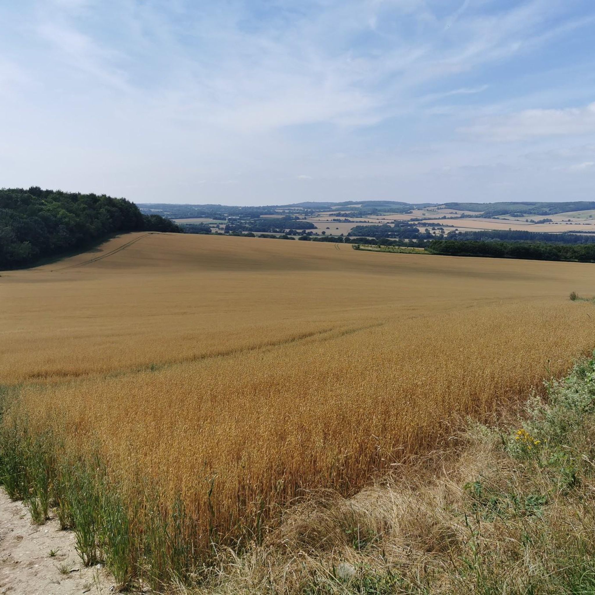
Beautiful and verdant fields surround the track way at this point.
0
0
Frequently Asked Questions
What kind of terrain can I expect when touring cycling around Little Chart?
Touring cycling around Little Chart primarily takes you through the scenic Kent Downs National Landscape. You'll encounter rolling hills, lush woodlands, and the peaceful River Stour valley. The routes offer diverse terrains, from quiet country lanes and gentle hills to more challenging bridleways and farm tracks, catering to various cycling preferences. While not directly coastal, the broader Kent landscape allows access to routes with chalk cliffs and sea views.
How many touring cycling routes are available in the Little Chart area?
There are over 180 touring cycling routes available around Little Chart, offering a wide range of options for different skill levels and preferences. These routes are highly rated by the komoot community, with an average score of 4.6 stars.
Are there routes suitable for beginners or those looking for an easy ride?
Yes, Little Chart offers plenty of options for easy rides. Approximately 76 of the routes are classified as easy. An example of a gentle ride is the Victoria Park Fountain – Pond loop from Ashford, which is 10.7 miles (17.2 km) long and takes about an hour to complete.
What are some challenging touring cycling routes in the area?
For experienced cyclists seeking a challenge, there are 19 difficult routes around Little Chart. A notable extensive route is the Romney Marshes near Lydd – Dungeness Old Lighthouse loop from Pluckley, which spans 67.0 miles (107.9 km) and explores unique landscapes and coastal areas.
Can I find circular touring cycling routes around Little Chart?
Yes, many routes in the Little Chart area are circular, allowing you to start and end in the same location. For example, the Ring Cottage – View of the Kent Countryside loop from Pluckley is a 16.6 miles (26.8 km) circular trail that takes you through picturesque Kent countryside.
What kind of landmarks or attractions can I see along the touring cycling routes?
The routes around Little Chart offer opportunities to discover various landmarks and natural features. You might encounter the Lenham Cross, explore the Bluebells in King's Wood, or pass by Eastwell Lake. Other points of interest include the Hothfield Common Nature Reserve and various historic churches like St James' Church Egerton.
Are there family-friendly cycling options near Little Chart?
While specific family-friendly routes are not detailed in the provided data, the presence of many 'easy' routes (76 in total) suggests that there are gentle paths suitable for families. The Kent Downs National Landscape offers quiet country lanes that can be ideal for family outings. Always check the route's difficulty and elevation profile on komoot before heading out with children.
What is the best time of year to go touring cycling in Little Chart?
The Kent Downs National Landscape, where Little Chart is located, transforms throughout the year. Spring and summer offer pleasant weather for cycling through wildflower meadows and lush woodlands. Autumn provides beautiful foliage, while winter can be crisp but may require more preparation for colder conditions. Always check local weather forecasts before your ride.
Are there any routes that connect to larger, well-known cycling trails?
Yes, Little Chart's location in Kent provides access to well-established cycling routes. The Cantii Way, a 145-mile circular route by Cycling UK, is accessible from nearby Wye. Additionally, National Cycle Route 118 (Wealden Cycle Trail) passes through Great Chart, a neighboring village, connecting Ashford to Tenterden and beyond, allowing for exploration of the High Weald area.
Where can I find amenities like cafes or pubs along the cycling routes?
Little Chart and its nearby villages such as Great Chart, Wye, Smarden, and Pluckley offer traditional English village settings. These villages often provide opportunities for cafe stops, pub lunches, and a taste of local culture. In Little Chart itself, the historic Swan Inn is a notable feature.
Is public transport available to access cycling routes around Little Chart?
Little Chart is close to Ashford, which is a key transport hub. While specific public transport links directly to route starting points from Little Chart are not detailed, accessing the general area via public transport (e.g., train to Ashford) and then cycling to a starting point is feasible. Many routes, like the Victoria Park Fountain – Pond loop from Ashford, start from larger towns.
What do other touring cyclists enjoy most about the Little Chart area?
The area is highly rated by the komoot community, with an average score of 4.6 stars from over 150 reviews. Touring cyclists often praise the diverse terrain, from quiet country lanes to woodlands and river valleys, and the options available for different ability levels. The picturesque Kent countryside and access to broader regional trails are also frequently highlighted.
Most popular attractions around Little Chart

Get inspired with the komoot mobile app


Explore more
Browse the best Cycling routes in other regions.
