The best walks and hikes around Chilton Trinity
4.3
(122)
1,388
hikers
110
hikes
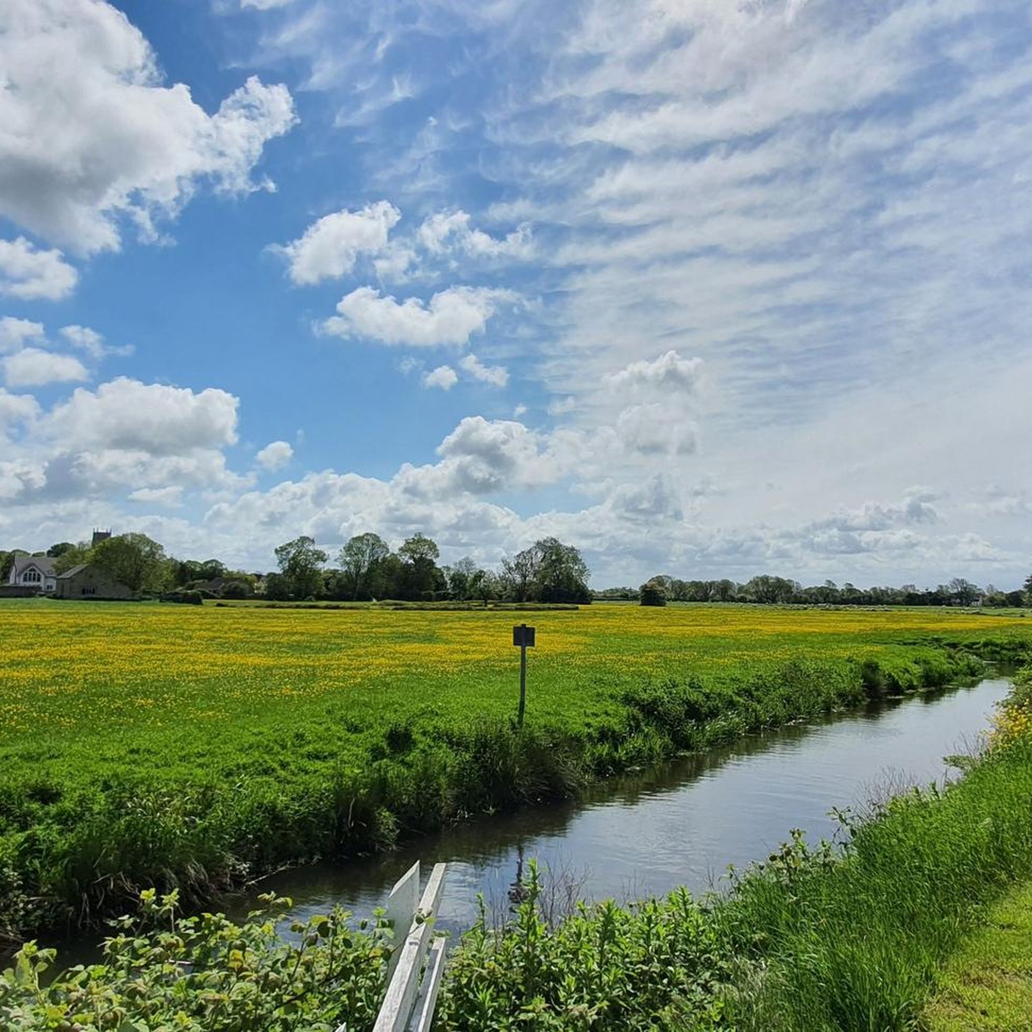
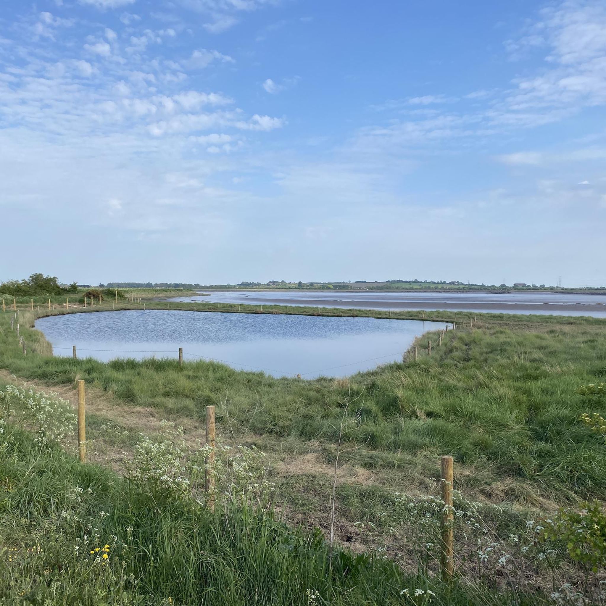
Hiking trails around Chilton Trinity are set within the alluvial plains of Somerset, bordering the tidal River Parrett. The terrain primarily features pastureland and farms, with the village itself on slightly elevated ground. The landscape is shaped by historical land reclamation and drainage efforts, creating a rural environment. Natural features include the River Parrett, the Bridgwater Canal, and wetland areas like Sutton's Pond, offering diverse walking experiences.
Best hiking trails around Chilton Trinity
- The most popular hiking route is Bridgwater…
Last updated: June 27, 2026
2
hikers
25.3km
06:37
190m
190m
Hard hike. Very good fitness required. Easily-accessible paths. Suitable for all skill levels.
5.0
(1)
11
hikers
10.7km
02:43
20m
20m
Moderate hike. Good fitness required. Easily-accessible paths. Suitable for all skill levels.

Sign up for free
3.0
(3)
4
hikers
Moderate hike. Good fitness required. Easily-accessible paths. Suitable for all skill levels.
3
hikers
4.57km
01:10
20m
20m
Easy hike. Great for any fitness level. Easily-accessible paths. Suitable for all skill levels.
3
hikers
4.61km
01:10
10m
10m
Easy hike. Great for any fitness level. Easily-accessible paths. Suitable for all skill levels.
Get access to more routes and recommendations from other explorers.
Sign up for free
Already have an account?
Our route recommendations are based on thousands of hikes, rides, and runs completed by other people on komoot.
Start today with a free account
Your next adventure awaits.
Login or Signup


Tips from the Community

Best time when less dog walkers.
0
0

This stone circle was made within the last hundred years from ancient saddle stones and a large lump of granite found on Huntstile Farm. The good news is that it's officially sanctioned by the druids. It stands at the top of the hill above the organic farm with woodland to the north and great views in all other directions.
2
0
Huntstile Organic farm in Goathurst has a great little café as well as B&B, self catering, camping and glamping. The café is normally open 10:00 15:00 but is currently (July 2022) closed on Thurs and Fri. They also have pizza nights. Call 01278 662358 to check hours.
2
0


Several cafes in the area for refreshment and some interesting historical sites around the docks
0
0

Bridgwater hasn't got its name for no reason. This thriving town has both the River Parrett and the Bridgwater & Taunton Canal winding through its heart. The canal is particularly lovely, with vibrant banks, old brick bridges and peaceful vistas. At only 14.5 miles (23.3 km) long, the canal links Bridgwater to Taunton and you can walk the entirety. This portion in Bridgwater makes for a lovely stroll and is part of the Samaritans Way South West footpath.
4
0
‘Clyce’ or ‘clyse’ is a regional word for sluice and you’ll find many if you walk along the River Parrett. The Somerset Levels is reclaimed land and barely above sea level, resulting in a sprawling wetland area. The water management of the Levels has been going for hundreds, if not thousands of years and sluices are an important part of controlling the run-off from the rivers. Many of the clyces you’ll find have been in place for a considerable amount of time and are a fascinating part of the local history. New ones are still built today.
3
0
While the River Parrett is tidal all the way up to Oath, further inland, Dunball is the first point at which mudflats are particularly evident. When the tide is low, the mud here is filled with birds, hunting around for snacks. Dunball is also a working dockyard, the last on the River Parrett. It’s evidence of this river’s industrial past and the docks can be clearly seen from the River Parrett Trail on the southern bank.
2
0
Frequently Asked Questions
How many hiking trails are available around Chilton Trinity?
Chilton Trinity offers a wide variety of hiking experiences, with over 110 routes available. These range from easy strolls to more challenging long-distance paths, catering to different fitness levels and preferences.
Are there any easy, family-friendly walks in Chilton Trinity?
Yes, there are many easy routes suitable for families. For instance, the Bridgwater Docks – Riverside Bike Path loop from Bridgwater is an easy 4.6 km hike, perfect for a relaxed outing. The area's flat pastureland and canal paths often provide gentle terrain.
What kind of natural features can I expect to see on hikes in Chilton Trinity?
The landscape around Chilton Trinity is characterized by the alluvial plains bordering the tidal River Parrett, featuring extensive pastureland and farms. You can also explore wetland areas like Sutton's Pond, a wildlife haven with open water and reed beds, attracting various birds and insects. The Bridgwater Canal also offers scenic waterside paths.
Are there any historical landmarks to discover while hiking?
Absolutely. Hikers can encounter historical elements such as World War II defenses, including pillboxes along the River Parrett. The 15th-century Church of the Holy Trinity in the village is a significant historical site. You might also pass by the Fenlyn's Clyce, an interesting historical structure related to water management.
What do other hikers enjoy most about the trails in Chilton Trinity?
The area is highly rated by the komoot community, with an average score of 4.4 stars from over 100 reviews. Hikers often praise the diverse riverine landscapes, the peaceful canal paths, and the opportunity to experience both natural beauty and historical elements. Over 1,400 hikers have used komoot to explore Chilton Trinity's varied terrain.
Are there any circular walks available in the area?
Many of the routes around Chilton Trinity are designed as loops, offering convenient circular walks. An example is the Chandos Glass Cone Ruins – Bridgwater Docks loop from Bridgwater, a moderate 10.7 km path that brings you back to your starting point.
Can I bring my dog on the hiking trails in Chilton Trinity?
Many public footpaths and bridleways in Chilton Trinity are suitable for dogs, provided they are kept under control, especially around livestock in pastureland areas. It's always best to check local signage for any specific restrictions, but generally, the rural paths are dog-friendly.
Where can I find parking for hiking routes in Chilton Trinity?
While specific parking details vary by route, many trails around Chilton Trinity, particularly those starting near Bridgwater, offer accessible parking options in or near the town. For routes starting directly in Chilton Trinity, roadside parking may be available, or designated car parks for local amenities.
Are there any longer, more challenging hikes for experienced hikers?
Yes, for those seeking a more demanding experience, the Bridgwater Canal & North Petherton loop from Bridgwater is a difficult 25.3 km trail. This route explores the canal and surrounding agricultural lands, requiring good fitness and offering a full day's adventure.
What are some other interesting places to explore near Chilton Trinity?
Beyond the immediate village, you can explore other nearby attractions such as Burrow Mump, a historic hill with a church ruin offering panoramic views, or the WWT Steart Marshes, a significant wetland reserve for birdwatching and nature observation.
What is the terrain like on the hiking trails?
The terrain around Chilton Trinity is predominantly flat, situated on alluvial plains. You'll mostly encounter pastureland, farm tracks, and well-maintained paths along the River Parrett and Bridgwater Canal. While generally easygoing, some paths can be muddy after rain, so appropriate footwear is recommended.
Is public transport available to access hiking trails in Chilton Trinity?
Chilton Trinity is located near Bridgwater, which has bus services connecting to surrounding areas. Many hiking routes can be accessed from Bridgwater, making it possible to reach trailheads using public transport. It's advisable to check local bus schedules for specific routes and timings.
Most popular attractions around Chilton Trinity

Get inspired with the komoot mobile app


Explore more
Browse the best Hikes in other regions.
