The best running trails around Terrington St. John
4.7
(9)
1,805
runners
147
runs
Jogging around Terrington St. John offers routes through the flat, agricultural landscape of Norfolk, UK. The region is characterized by open countryside, rural roads, and public footpaths, providing a generally level terrain for running. Elevation changes are minimal across the area's trails, making it suitable for various fitness levels. These routes primarily traverse the local fens and farmland, offering a quiet environment for outdoor activity.
Best jogging routes around Terrington St. John
- The most popular jogging route is St John's…
Last updated: July 10, 2026
1
runners
16.0km
01:44
20m
20m
The St John's Highway to Wiggenhall loop provides a difficult jogging experience, covering 9.9 miles (16.0 km) with a modest 59 feet (18 metres) of elevation gain. You can expect…
7
runners
7.66km
00:47
10m
10m
Moderate run. Good fitness required. Mostly paved surfaces. Suitable for all skill levels.

Sign up for free
7
runners
11.5km
01:11
20m
20m
Moderate run. Good fitness required. Mostly paved surfaces. Suitable for all skill levels.
5
runners
10.4km
01:04
10m
10m
Moderate run. Good fitness required. Mostly paved surfaces. Suitable for all skill levels.
5
runners
10.8km
01:08
20m
20m
Moderate run. Good fitness required. Mostly paved surfaces. Suitable for all skill levels.
Get access to more routes and recommendations from other explorers.
Sign up for free
Already have an account?
Our route recommendations are based on thousands of hikes, rides, and runs completed by other people on komoot.
Start today with a free account
Your next adventure awaits.
Login or Signup


Tips from the Community

I went very early spring and it was quite pretty, interesting for the ride, certainly stopped the wind cutting across the fields
0
0

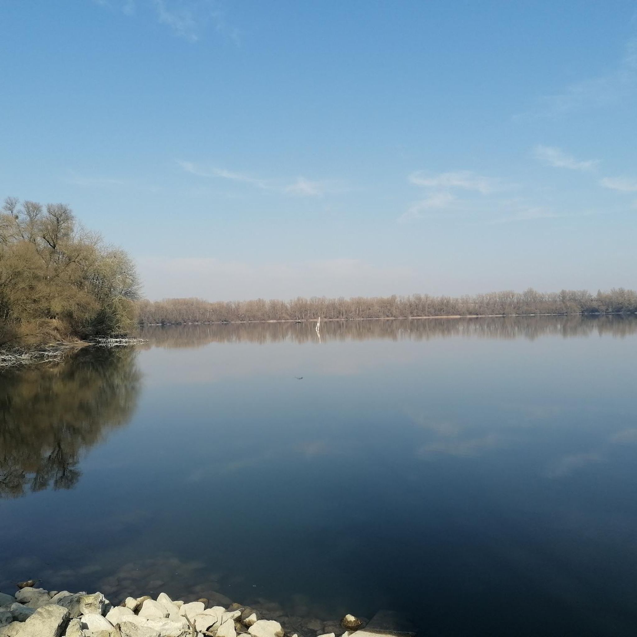
Just after Wiggenhall St Mary Magdalen, you will find some spectacular views while crossing the drains leading to the River Ouse. A very special feature of the village is a tidal bore or wave which can form on the River Great Ouse near the village. Dependent on particular lunar and tidal conditions. Free swimmers, canoers and spectators will often be drawn to experience the spectacle.
1
0
St. Peter's stands as a captivating ruin alongside the tranquil banks of the River Great Ouse. While its walls continue to stand tall, the roof and windows have long vanished. This church, constructed in the 15th century, gradually fell into disrepair at the dawn of the 20th century. In an unfortunate turn of events, in 2013, it was struck by lightning, further adding to its historical narrative.
1
0

Discover this charming ruined church at Wiggenhall St. Peter's on the Fen Rivers Way. It's worth taking some time to explore the church, it has a fascinating history attached to it and some of the most fantastic carved bench-ends you’ll see anywhere in East Anglia
1
0
Enjoy a beautiful section of cycling along Trinity Road. To your left you'll find perfect rows of planted trees, and to your right, endless expanses of neat farmland.
1
0

Make sure you have plenty of water and sun screen
0
0
Frequently Asked Questions
How many running routes are available around Terrington St. John?
There are over 150 dedicated running routes around Terrington St. John, offering a wide variety of options for different fitness levels and preferences. These include 20 easy routes, 113 moderate routes, and 19 difficult routes.
What kind of terrain can I expect on jogging routes in Terrington St. John?
The jogging routes in Terrington St. John primarily traverse the flat, agricultural landscape of Norfolk. You'll find yourself on rural roads, public footpaths, and through open fens and farmland. The terrain is generally level with minimal elevation changes, making it suitable for a relaxed run.
Are there any circular running routes in the area?
Yes, Terrington St. John offers several circular running routes. A popular option is the Running loop from Terrington St. John, which is a moderate 4.8-mile path directly from the village. Another is the Running loop from Middle Drove Station, a 5.2-mile trail through open terrain.
What do other runners say about the trails in Terrington St. John?
The running trails in Terrington St. John are highly rated by the komoot community, with an average score of 4.7 stars from 9 reviews. Nearly 2000 runners have used komoot to explore the area, often praising the quiet environment and the accessible, flat terrain.
Are there any longer running trails for experienced runners?
For those seeking a longer challenge, the St John's Highway to Wiggenhall loop is a difficult 9.9-mile (16.0 km) route that provides a substantial long-distance experience through the rural landscape.
Can I find running routes suitable for beginners?
Absolutely. With 20 easy routes available, Terrington St. John is well-suited for beginners. The generally flat terrain and minimal elevation changes across many paths provide a gentle introduction to running in the countryside.
What are some points of interest or landmarks I might see while running?
While Terrington St. John itself is rural, nearby King's Lynn offers historical landmarks. You could explore areas near King's Lynn Minster, Greyfriars Tower, or the Customs House and Captain Vancouver Statue. Further afield in Wisbech, you might find the Clarkson Memorial.
Are there any tree-lined routes for a different running experience?
Yes, you can find routes that offer some tree cover. The Trinity Road Tree-Lined Avenue loop from Middle Drove Station is a moderate 10.4 km route that provides a different scenic element with its tree-lined sections.
Is Terrington St. John a good place for running with minimal crowds?
Yes, the rural and agricultural nature of Terrington St. John means that many of its running routes offer a quiet environment. You'll often find yourself enjoying the open countryside with fewer crowds compared to more urban or heavily trafficked areas.
What is the typical duration for a moderate running route in this area?
Moderate running routes in Terrington St. John vary in length and duration. For example, the Running loop from Terrington St. John is 4.8 miles and typically takes around 47 minutes, while the Trinity Road Tree-Lined Avenue loop from Walpole Highway is 10.8 km and takes about 1 hour 7 minutes.
Most popular routes around Terrington St. John
Most popular attractions around Terrington St. John

Get inspired with the komoot mobile app


Explore more
Browse the best Running Trails & Routes in other regions.
