The best MTB trails around Chard Town
8
riders
6
rides
Mountain biking around Chard Town offers diverse landscapes and varied terrain for outdoor enthusiasts. The region is characterized by its proximity to the Blackdown Hills Area of Outstanding Natural Beauty, featuring rolling hills and ancient woodlands. Chard Reservoir Local Nature Reserve provides tranquil routes through woodlands and meadows, while historic Iron Age hillforts like Castle Neroche add elevation and scenic viewpoints. The town's elevation at 397 feet (121 meters) contributes to striking landscape views and varied gradients suitable for challenging…
Last updated: September 30, 2026
2
riders
23.7km
01:38
340m
340m
Moderate mountain bike ride. Good fitness required. Suitable for all skill levels.
3
riders
39.4km
02:51
600m
600m
Moderate mountain bike ride. Good fitness required. Suitable for all skill levels.

18.1km
01:11
250m
250m
Easy mountain bike ride. Great for any fitness level. Suitable for all skill levels.
1
riders
38.0km
03:17
940m
940m
Hard mountain bike ride. Very good fitness required. Suitable for all skill levels.
2
riders
27.2km
01:50
350m
350m
Moderate mountain bike ride. Good fitness required. Suitable for all skill levels.
Our route recommendations are based on thousands of hikes, rides, and runs completed by other people on komoot.
Start today with a free account
Your next adventure awaits.
Tips from the Community

Well placed after a steep climb
0
0
Lovely bit of off road riding
0
0


If you’re looking to play "King of the Hill," Neroche Castle is your ultimate hidden playground in the Blackdown Hills. This isn't your typical fairytale stone fortress; it’s a massive Norman "motte-and-bailey" earthwork that looks like a giant green multi-layered cake. Ancient Earthworks: Scramble up the steep banks to see the impressive defensive ditches that kept invaders out nearly 1,000 years ago. Epic Views: On a clear day, the summit offers a "top-of-the-world" vista stretching all the way to the Quantock Hills and the Bristol Channel. Woodland Wanders: The surrounding forest is perfect for a shadowy, atmospheric stroll through the pines.
1
0

An informative 3D view of the geology under the landscape of Neroche and Staple Hill
0
0
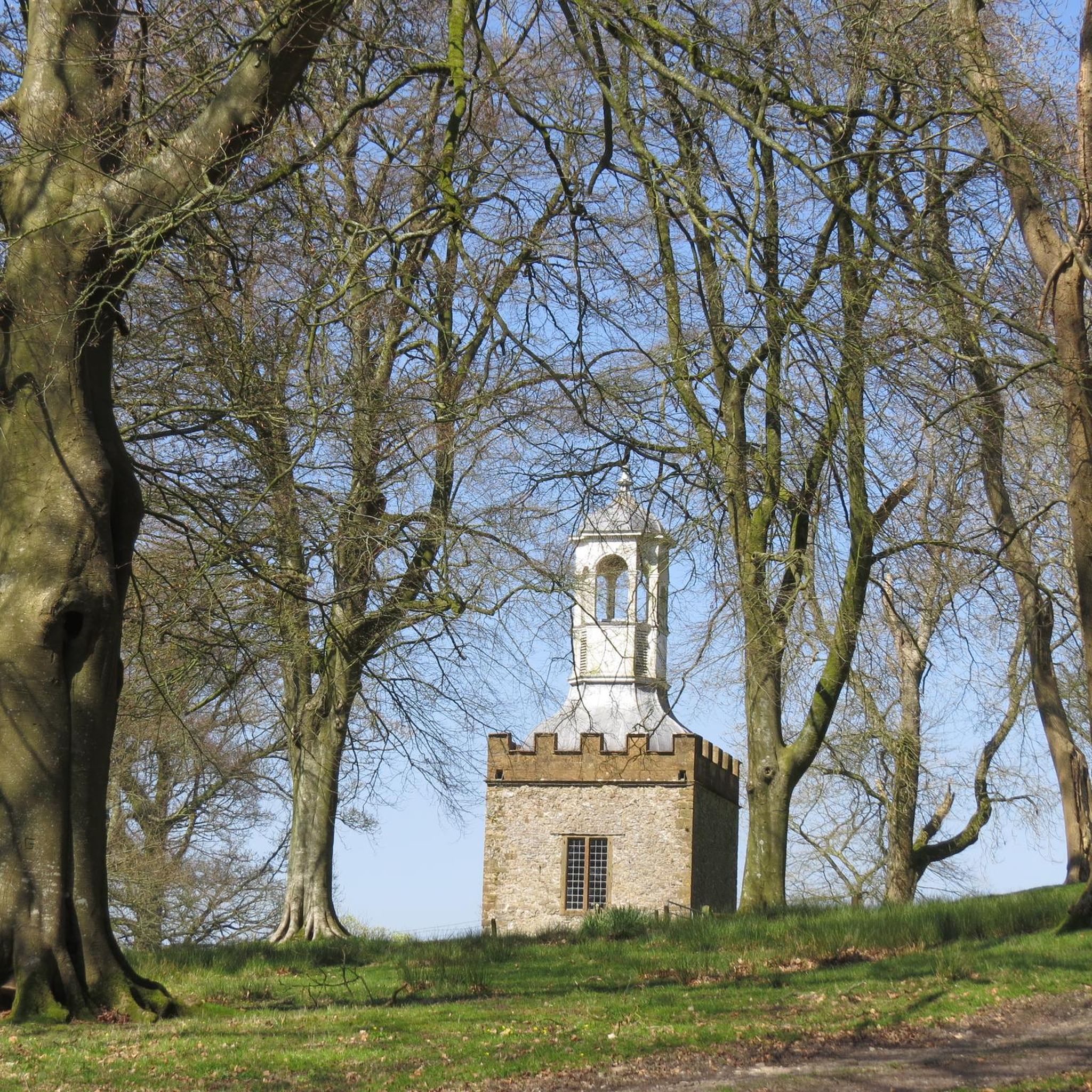
Castle Neroche is a significant historical site in Somerset, England, located on the northern escarpment of the Blackdown Hills. It is not a standing stone castle today, but rather a complex of impressive earthworks that reveal a long history of use.
1
0

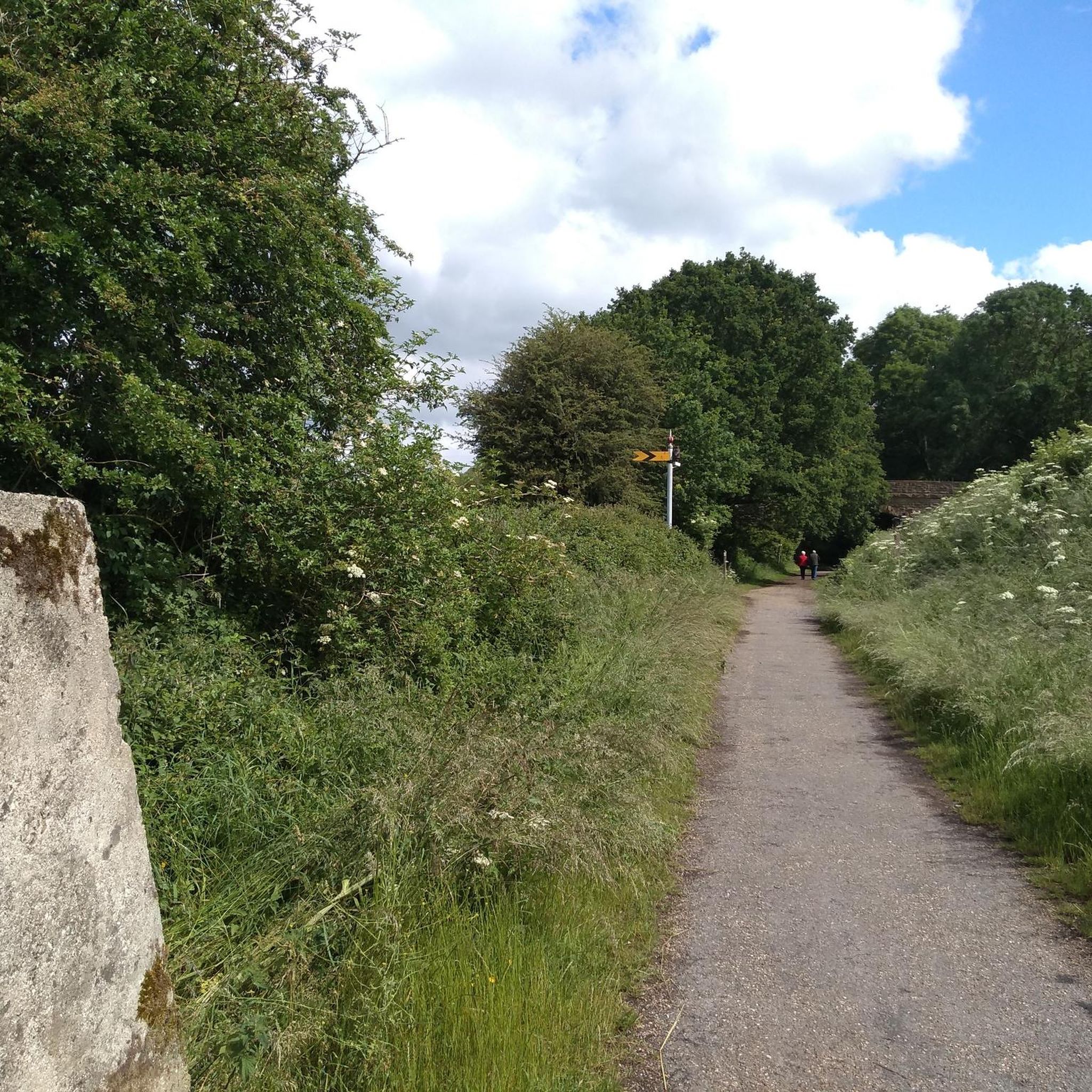
Donyatt Halt Records for Donyatt Halt state: "This halt, opened on May 5th, 1928, has a single platform edged with wooden sleepers, and a small wooden shelter. A pathway leads up from the platform to the road, which crosses the line by an overbridge at the Ilminster end of the platform. An ornate oil lamp stands at the top of the path and there are various posts with brackets for hanging oil lamps in winter." It would be the guard's duty to light and extinguish these lamps. Five trains a day operated in each direction taking about 45 minutes for the 15 - mile journey from Taunton to Chard, having made stops at Thornfalcon, Hatch, Ilton, Ilminster and Donyatt. Donyatt.com
0
0

Perfectly placed after a steep climb with wonderful views across the levels and beyond...
0
0
Frequently Asked Questions
What kind of terrain can I expect on mountain bike trails around Chard Town?
Mountain biking around Chard Town offers a diverse mix of terrain. You'll find rolling hills and ancient woodlands, particularly within the nearby Blackdown Hills Area of Outstanding Natural Beauty. The region also features tranquil routes around Chard Reservoir Local Nature Reserve, and historic Iron Age hillforts like Castle Neroche Iron Age Hill Fort, which add elevation and scenic viewpoints. Converted railway lines also provide smoother, traffic-free sections.
Are there mountain bike trails suitable for beginners in Chard Town?
Yes, there are trails suitable for beginners. For an easier ride, consider the Donyatt Halt – Chard Reservoir Nature Reserve loop from Ilminster. This 18.1 km route is rated easy and takes you through the tranquil Chard Reservoir area, offering a pleasant experience with less challenging elevation changes.
Where can I find more challenging mountain bike routes near Chard Town?
For a more challenging experience, the Beckford Bridge – Umborne Brook Track loop from Chard is rated difficult. This 38.0 km route features significant elevation gain, with over 939 meters of ascent, providing a demanding ride for experienced mountain bikers.
Are there any circular mountain bike routes available?
Yes, many of the mountain bike routes around Chard Town are circular. For example, the Donyatt Halt – Castle Neroche Woods loop from Ilminster and the Donyatt Halt – Staple Hill Trail loop from Ilminster are both popular circular options, allowing you to start and finish at the same point.
What interesting landmarks or attractions can I see along the mountain bike trails?
The trails often pass by historical and natural points of interest. You can explore the ancient earthworks of Castle Neroche Iron Age Hill Fort, which is incorporated into routes like the Donyatt Halt – Castle Neroche Woods loop from Ilminster. Another notable site is Lambert's Castle Hillfort, offering lovely views. The tranquil Chard Reservoir Local Nature Reserve also provides scenic beauty along its paths.
Are there any long-distance mountain biking routes in the area?
Yes, you can find longer routes that extend into the wider landscape. The Donyatt Halt – Staple Hill Trail loop from Ilminster is a moderate 39.6 km route that offers significant elevation changes and takes you further into the Blackdown Hills area.
What is the best time of year to go mountain biking in Chard Town?
The region's diverse landscapes, including woodlands and open trails, are enjoyable throughout much of the year. Spring and autumn offer pleasant temperatures and beautiful scenery. While some trails may be accessible in winter, conditions can be wetter, especially in wooded areas. Always check local weather conditions before heading out.
Are there mountain bike trails that are suitable for families?
For families or those seeking a less strenuous ride, the converted railway lines in the area provide relatively traffic-free routes. The Donyatt Halt – Chard Reservoir Nature Reserve loop from Ilminster is an easy 18.1 km option that is generally suitable for a family outing.
How many mountain bike trails are available around Chard Town?
There are several mountain bike trails around Chard Town, with komoot featuring 6 distinct routes. These range in difficulty from easy to difficult, ensuring options for various skill levels.
What are the elevation changes like on the mountain bike trails?
Chard Town's elevation at 121 meters (397 ft) contributes to varied gradients. You can find routes with gentle ascents, such as the Donyatt Halt – Chard Reservoir Nature Reserve loop from Ilminster with 252 meters of climb, up to challenging routes like the Beckford Bridge – Umborne Brook Track loop from Chard, which features nearly 940 meters of elevation gain.
Are there any trails that go through the Blackdown Hills Area of Outstanding Natural Beauty?
Yes, many routes provide access to or extend into the Blackdown Hills AONB. The Donyatt Halt – Staple Hill Trail loop from Ilminster, for instance, takes you into this scenic area, known for its rolling landscapes and ancient woodlands.
Most popular routes around Chard Town
Most popular attractions around Chard Town

Get inspired with the komoot mobile app


Explore more
Browse the best MTB trails in other regions.
