The best MTB trails around Wivelsfield
4.4
(109)
819
riders
117
rides
Mountain biking around Wivelsfield offers diverse landscapes and varied terrain, characterized by extensive rural green areas and woodlands. The region features significant elevation changes, providing challenging climbs and descents. While Wivelsfield is in the Low Weald, its proximity to the High Weald AONB and the South Downs grants access to a wider network of trails with rolling hills and open chalk grasslands. This setting provides a rich backdrop for mountain biking.
Best mountain bike trails around Wivelsfield
- The most popular…
Last updated: September 30, 2026
4.4
(8)
23
riders
50.0km
04:12
880m
880m
Moderate mountain bike ride. Good fitness required. Advanced riding skills necessary.
5.0
(1)
48
riders
72.3km
06:07
1,180m
1,180m
Hard mountain bike ride. Very good fitness required. Advanced riding skills necessary.

4.7
(3)
23
riders
30.6km
02:43
580m
580m
Moderate mountain bike ride. Good fitness required. Suitable for all skill levels.
5.0
(1)
5
riders
56.7km
04:06
720m
720m
Moderate mountain bike ride. Good fitness required. Suitable for all skill levels.
16
riders
66.5km
05:34
1,030m
1,030m
Hard mountain bike ride. Very good fitness required. Advanced riding skills necessary.
Get access to more routes and recommendations from other explorers.
Already have an account?
Our route recommendations are based on thousands of hikes, rides, and runs completed by other people on komoot.
Start today with a free account
Your next adventure awaits.
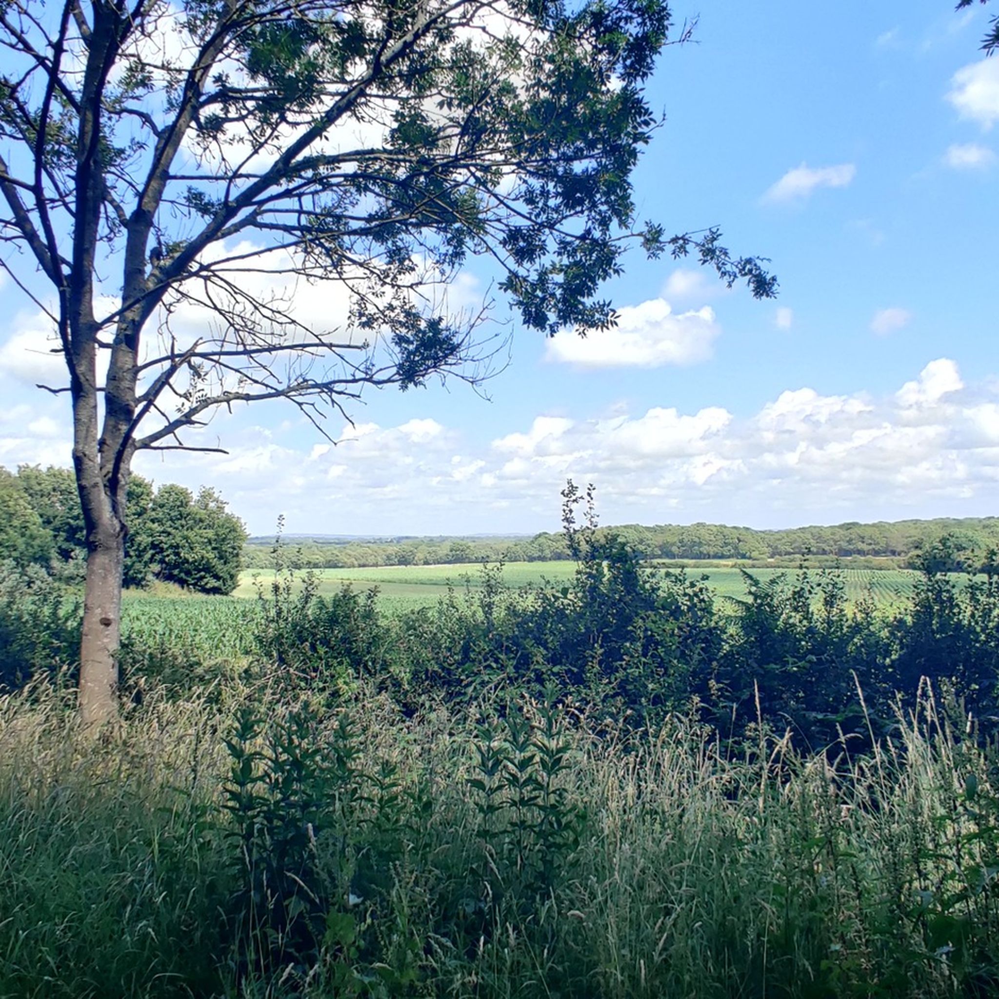
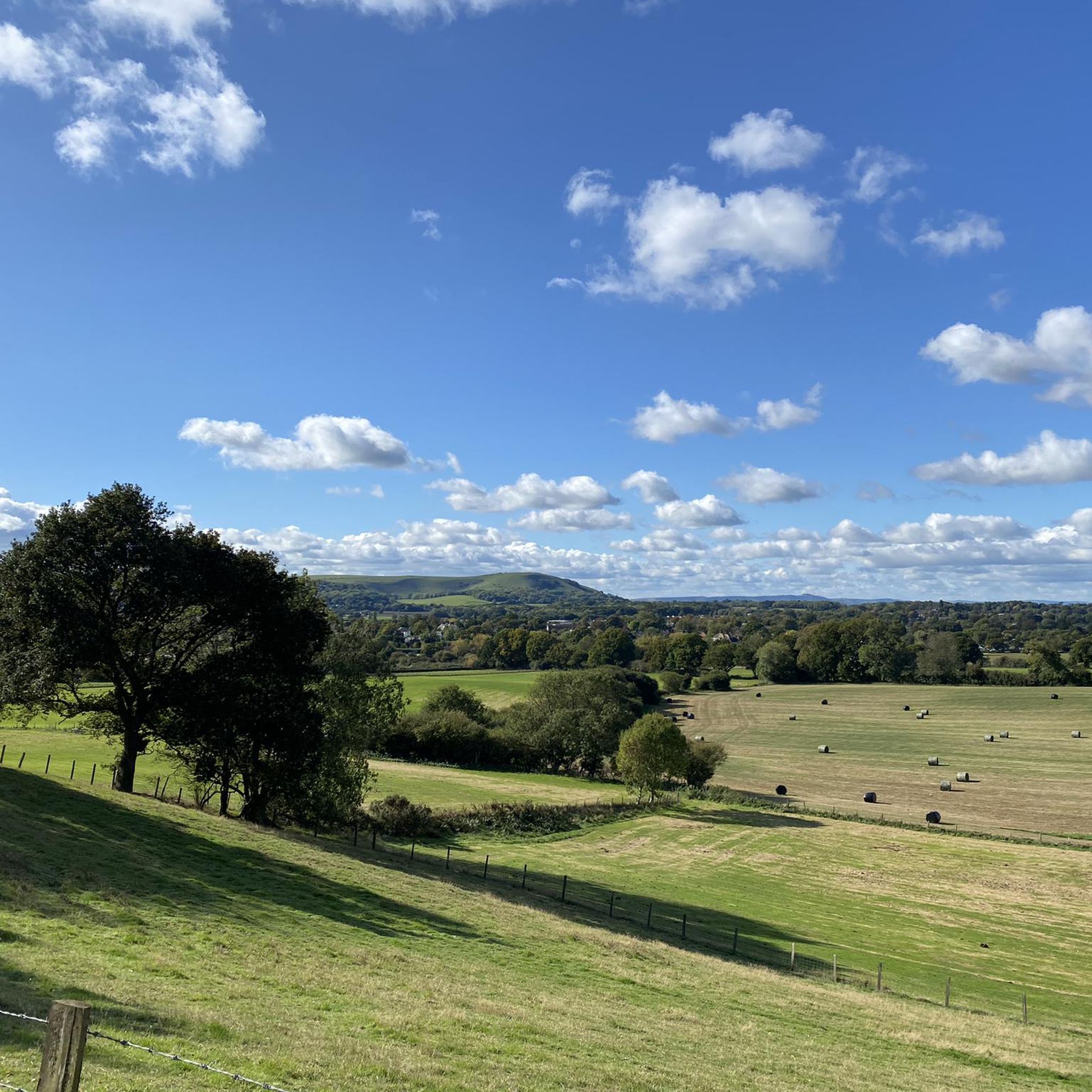
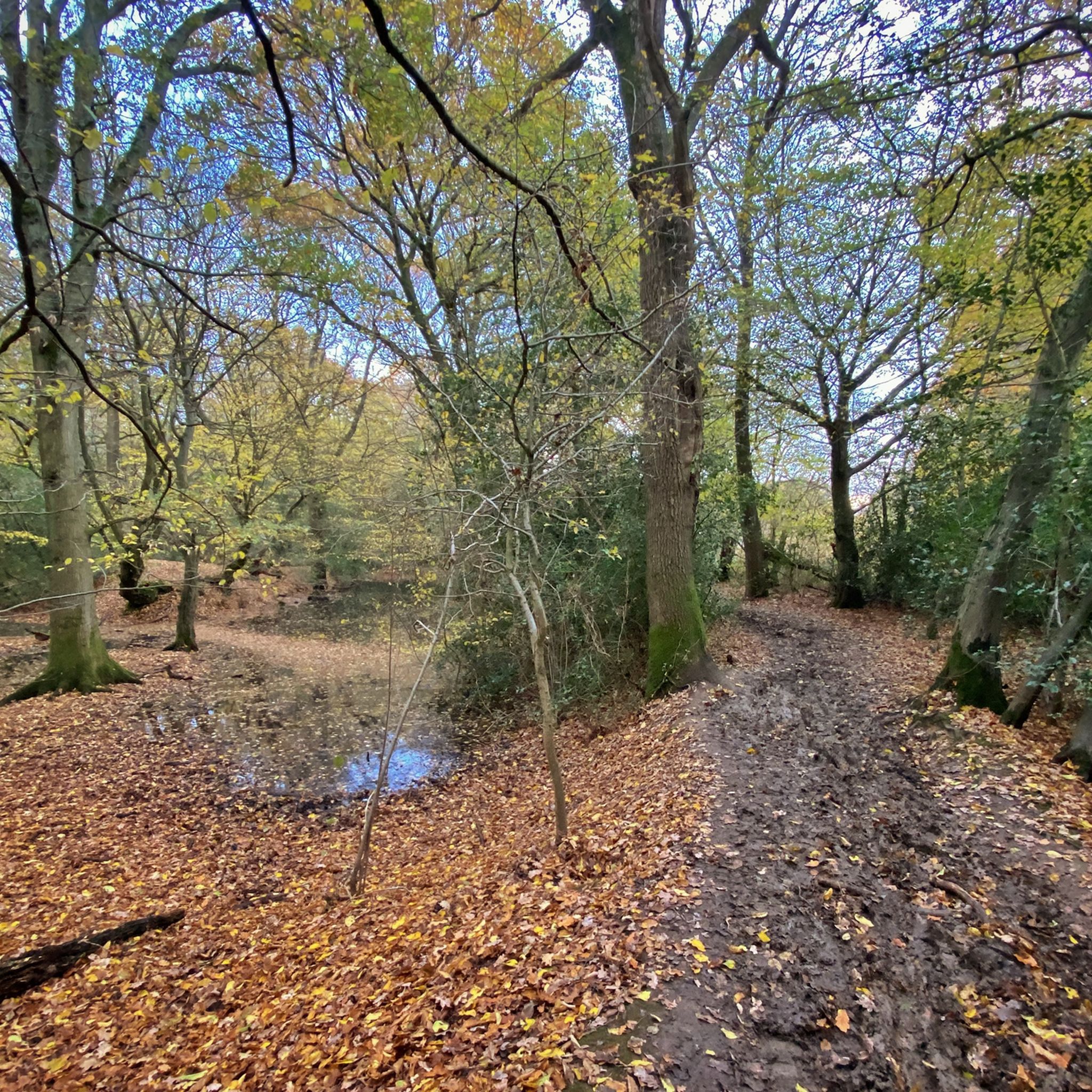
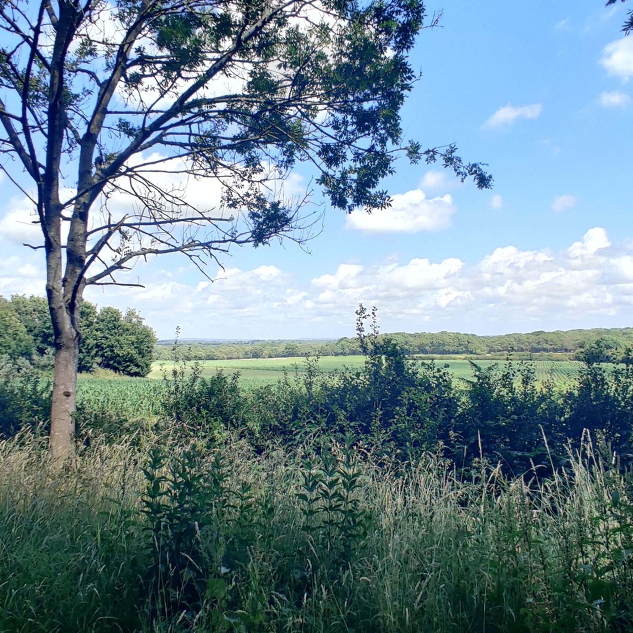
Tips from the Community

When the large puddles have evaporated, this is one of the best gravel routes the South Downs has to offer. This highlight includes the full route, including the narrow part through the bushes.
0
0


Decent shop with hot food over the counter, plus some tea rooms.
0
0

The track here provides one of the best views from the South Downs Way. Take time to stop here and enjoy the well-earned view.
1
0
This section of the long distance South Downs Way is a bridleway, so good for a mountain bike but also popular with walkers. The chalky track climbs Newmarket Hill from the A27 in the north. The hill starts at 135 feet (41m) and tops out at 646 feet (197m). Great up or down hill.
0
0

This is a wonderful stretch of track running just below Mount Harry, and it continues below Black Cap too before it joins the South Down Way at the Beeches. A great biking section overall.
1
0
At over 650 feet (200 m), Ditchling Beacon gives you a good climb and a great vantage point to see out over the surrounding countryside. To the north you look back at the lush countryside of the Weald, to the south are views of Brighton, and to the east and west, the rolling undulating views out over the South Downs.
1
1
Frequently Asked Questions
What kind of terrain and difficulty can I expect on mountain bike trails around Wivelsfield?
The trails around Wivelsfield offer diverse landscapes and varied terrain, ranging from rural green areas and woodlands to rolling hills and open chalk grasslands. You can expect significant elevation changes, providing challenging climbs and exciting descents. Routes are categorized from easy to difficult, with many moderate options like the Devil's Dyke – View of Devil's Dyke loop, which features 880m of elevation gain, and the Newmarket Hill loop with 667m of ascent. Some routes include singletrack, tight turns, roots, and steep sections requiring advanced skills.
Are there circular mountain bike routes available in Wivelsfield?
Yes, many mountain bike routes around Wivelsfield are designed as loops, allowing you to start and finish at the same point. Examples include the Devil's Dyke – View of Devil's Dyke loop from Wivelsfield, the Newmarket Hill – View from Newmarket Hill Mast loop from Burgess Hill, and the Cuckoo Bottom Track – Blackcap Summit and Trig Point loop from Wivelsfield.
Are the mountain bike trails around Wivelsfield suitable for families or dog-friendly?
While Wivelsfield offers a range of trails, many are categorized as moderate to difficult due to significant elevation changes and technical features. For family-friendly options, look for trails explicitly marked as 'easy' on komoot. Regarding dogs, the rural environment is generally welcoming, but it's always best to keep dogs under control, especially near livestock or in nature reserves. Check specific trail regulations for any restrictions.
How accessible are the mountain bike trails by public transport or car, and is parking available?
Wivelsfield has a railway station, providing convenient access to the area. Many trails are also accessible by car, with various starting points. Parking availability can vary; some trailheads may have dedicated parking, while others might rely on roadside parking in nearby villages. It's advisable to check specific route details on komoot for parking information at your chosen starting point.
When is the best time of year to go mountain biking in Wivelsfield?
The region's diverse terrain, including woodlands and open chalk grasslands, makes it enjoyable across seasons. Spring and autumn offer pleasant temperatures and beautiful scenery, with vibrant flora in spring and rich colors in autumn. Summer is also popular, but trails can be busier. Winter riding is possible, but be prepared for potentially muddy conditions, especially in wooded areas, and shorter daylight hours. Always check local weather conditions before heading out.
What interesting sights or landmarks can I see while mountain biking around Wivelsfield?
The area is rich in natural beauty and historical landmarks. You might pass by significant viewpoints like Ditchling Beacon, offering panoramic views, or the Blackcap Summit and Trig Point. Other notable attractions include the Jack and Jill Windmills and the serene Ardingly Reservoir. These highlights provide excellent spots for a break or photo opportunity.
Are there places to eat or drink near the mountain bike trails in Wivelsfield?
Wivelsfield and its surrounding villages offer various pubs and cafes where you can refuel after your ride. Given the rural nature of the area, many local establishments provide a welcoming atmosphere. It's a good idea to plan your route to pass through or near a village if you intend to stop for refreshments or a meal.
How many mountain bike trails are there around Wivelsfield?
There are over 120 mountain bike trails around Wivelsfield, offering a wide variety of options for different skill levels and preferences. This extensive network ensures there's always a new route to explore, from easy paths to challenging, difficult trails.
What do other mountain bikers enjoy the most about mountain biking in Wivelsfield?
The area is highly rated by the komoot community, with an average score of 4.4 stars from over 90 reviews. Riders often praise the diverse landscapes, the challenging elevation changes, and the immersive natural experience provided by the extensive rural green areas and woodlands. The variety of trails, catering to different skill levels, is also frequently highlighted.
Can I find trails that connect Wivelsfield to the High Weald AONB or South Downs?
Yes, Wivelsfield's location in the Low Weald provides excellent access to the High Weald Area of Outstanding Natural Beauty (AONB) and the South Downs. Many trails, such as those leading towards Ditchling Beacon or Blackcap Summit, venture into these renowned areas, offering riders the chance to experience their distinctive rolling hills, woodlands, and open chalk grasslands.
Are there any specific regulations or permits required for mountain biking in the Wivelsfield area?
Generally, mountain biking in the Wivelsfield area, particularly on public bridleways and byways, does not require specific permits. However, it's crucial to respect local signage, especially when riding through private land or designated nature reserves. Always stick to marked trails, be mindful of other trail users, and follow the Countryside Code. For detailed information on specific areas like the South Downs National Park, it's always best to check their official guidelines.
What is the longest mountain bike trail around Wivelsfield?
One of the longer mountain bike trails is the Devil's Dyke – View of Devil's Dyke loop from Wivelsfield, which spans approximately 49.9 km (31.0 miles) and typically takes around 4 hours and 8 minutes to complete. This route offers a significant distance combined with substantial elevation gain.
Most popular routes around Wivelsfield
Most popular attractions around Wivelsfield

Get inspired with the komoot mobile app


Explore more
Browse the best MTB trails in other regions.
