The best running trails around Water Orton
4.1
(68)
5,238
runners
299
runs
Jogging routes around Water Orton offer a diverse landscape for outdoor activity, characterized by its proximity to the River Tame and its surrounding wetlands. The region features accessible paths along canal towpaths and through local nature reserves like Babbs Mill. Terrain is generally flat or gently undulating, providing varied options for running. The area combines natural beauty with historical points of interest, such as the Grade II listed sandstone bridge over the River Tame.
Best jogging routes around Water Orton
…Last updated: July 1, 2026
22
runners
6.83km
00:43
40m
40m
Moderate run. Good fitness required. Mostly paved surfaces. Suitable for all skill levels.
10
runners
14.8km
01:41
70m
70m
Moderate run. Good fitness required. Mostly paved surfaces. Suitable for all skill levels.

Sign up for free
6
runners
8.11km
00:51
40m
40m
Moderate run. Good fitness required. Mostly paved surfaces. Suitable for all skill levels.
6
runners
5.21km
00:32
30m
30m
Moderate run. Good fitness required. Mostly paved surfaces. Suitable for all skill levels.
7
runners
13.5km
01:24
70m
70m
Moderate run. Good fitness required. Mostly paved surfaces. Suitable for all skill levels.
Get access to more routes and recommendations from other explorers.
Sign up for free
Already have an account?
Our route recommendations are based on thousands of hikes, rides, and runs completed by other people on komoot.
Start today with a free account
Your next adventure awaits.
Login or Signup
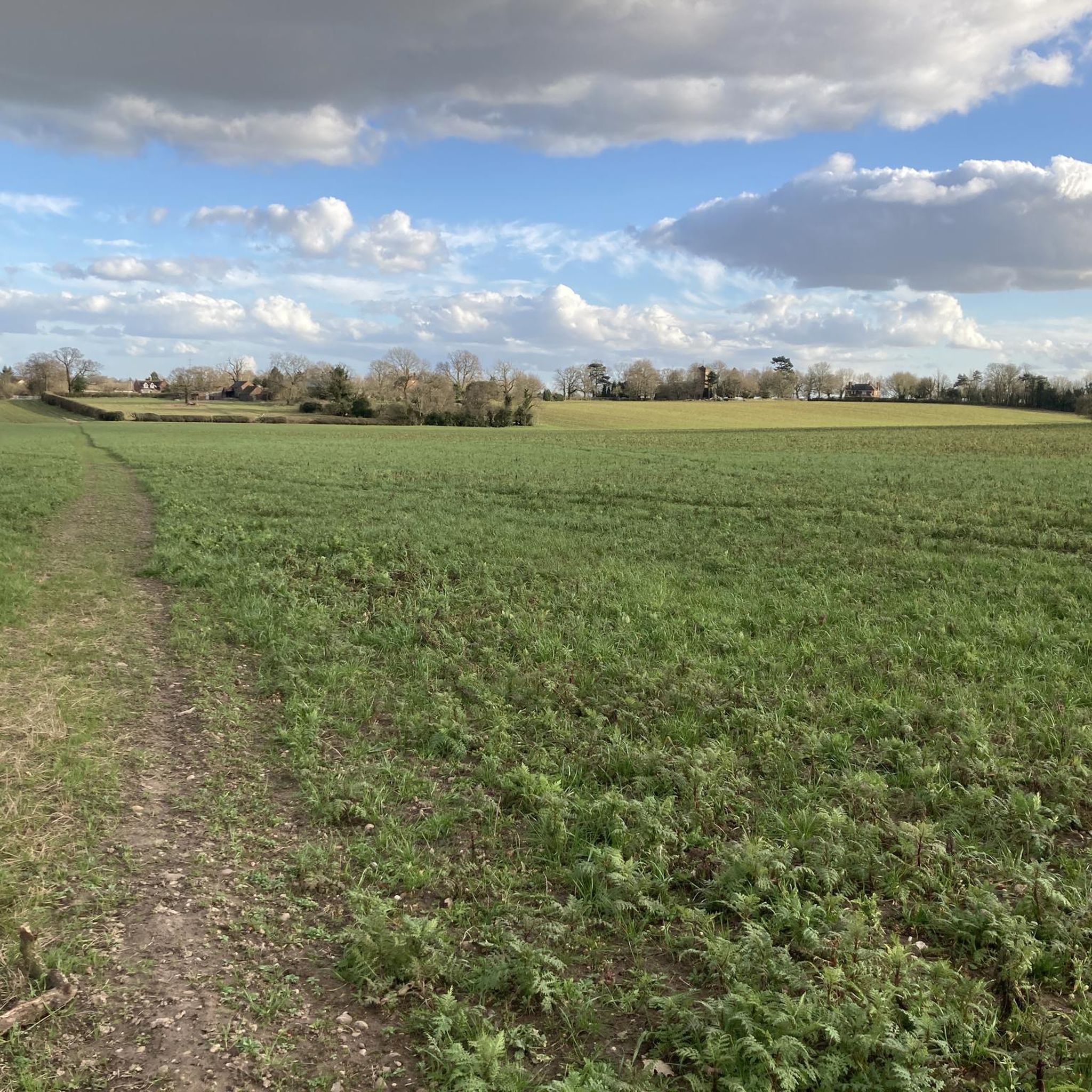
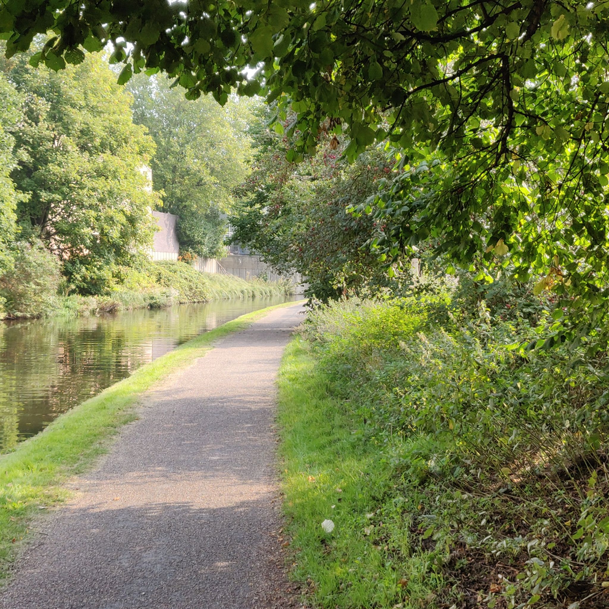
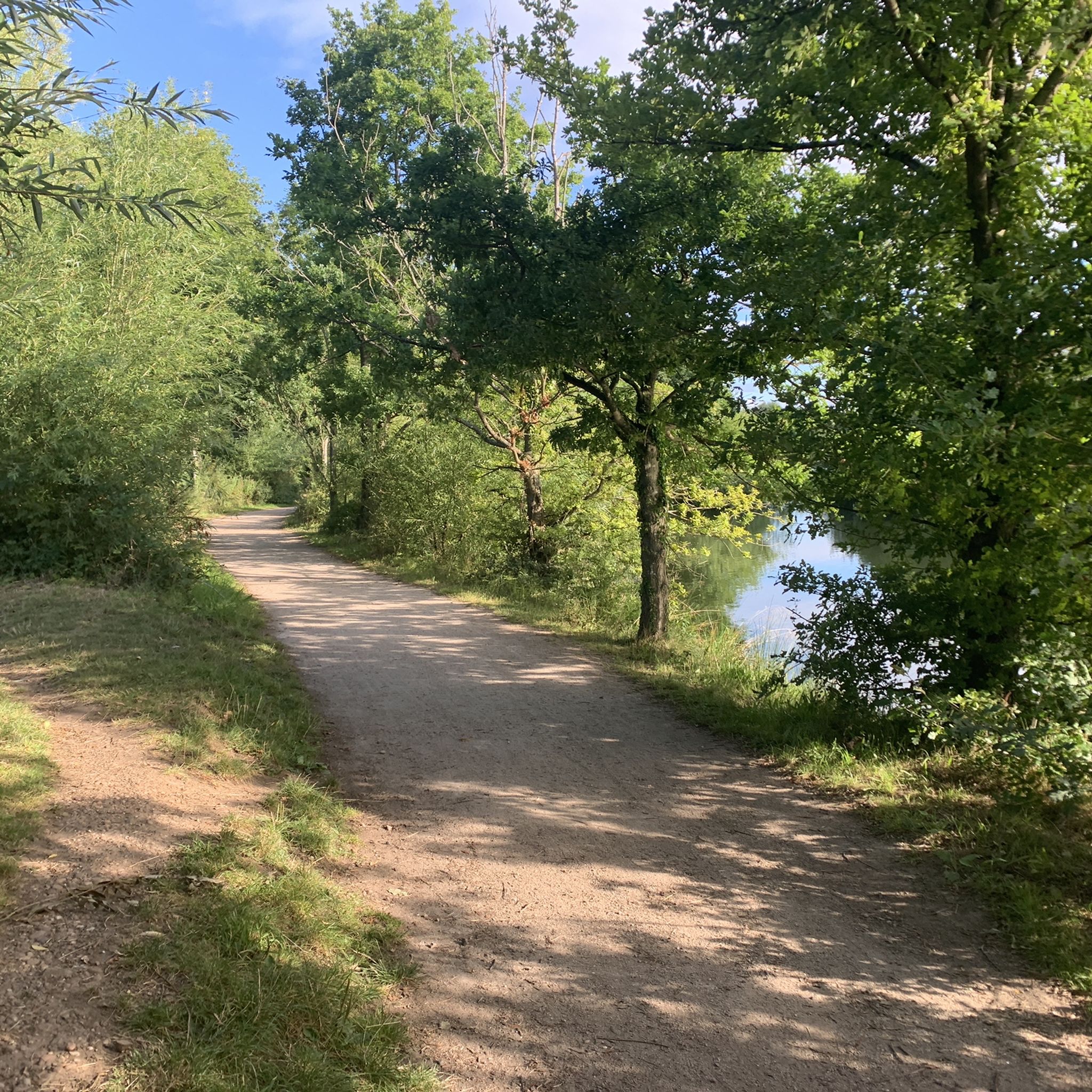
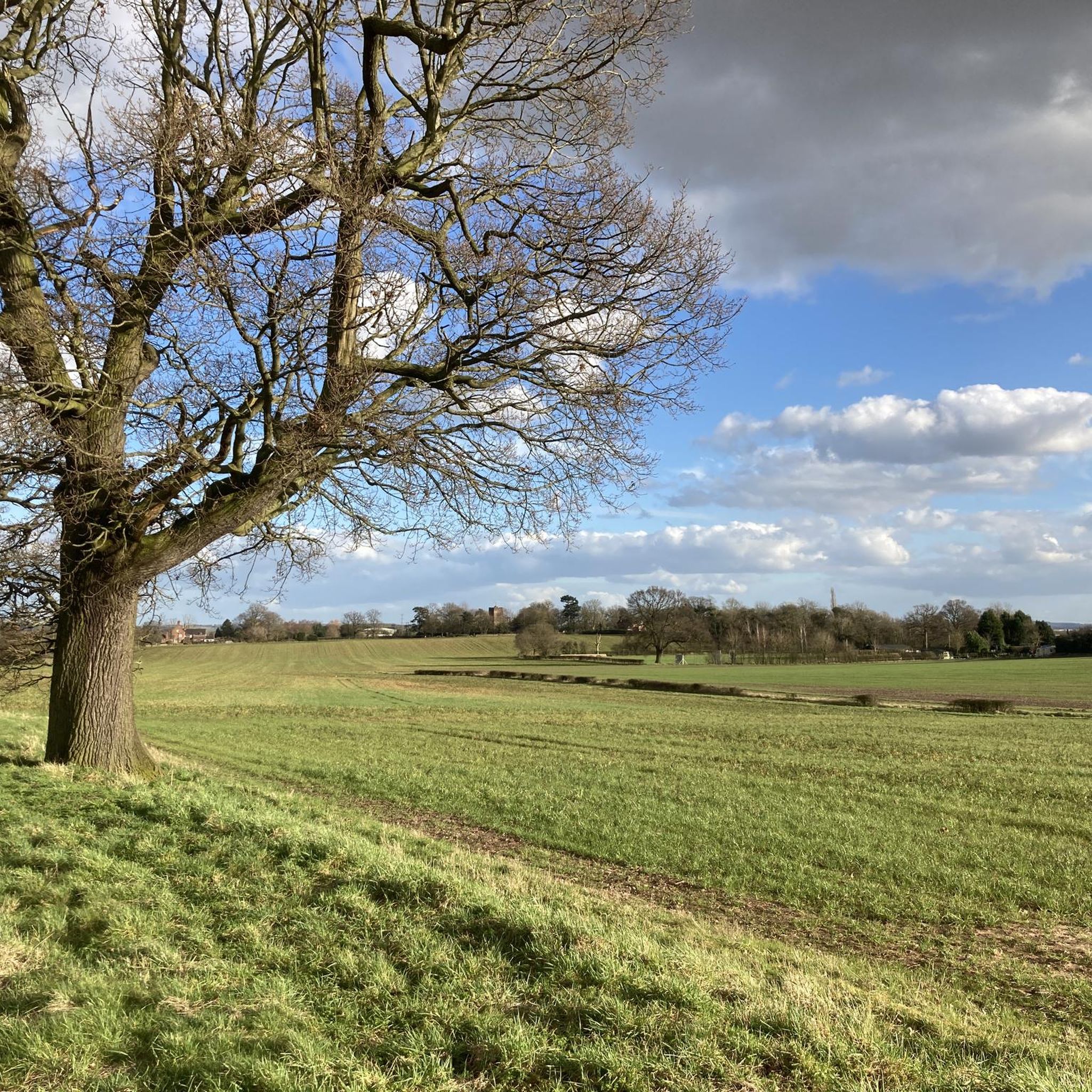

Tips from the Community

Such a towpath (known in German as a towpath or Leinpfad), which runs alongside the river or canal, was an essential part of the transport infrastructure in earlier times. Before ships could move by motor power, horses walked along the bank, pulling the boat against the current. This activity was called "treideln" in German, and thus the "treidelpfad" got its name. Where these paths – running directly along the bank – have survived to this day, they no longer serve their original purpose, but are still popular: namely, with hikers and cyclists.
0
0
Rivers and canals crisscross the country, as they were a crucial part of the transport infrastructure – especially in the early days of industrialization. Factories needed the delivery of raw materials in previously unknown quantities, and finished goods also had to find their way to traders. Many of the canals originated in this era. Later, rail and, even later, trucks took over the task of transporting goods. When building the artificial waterways, however, it was important to consider that differences in elevation always had to be overcome, and so locks are often located along the canals – at varying intervals, depending on the local situation. Only with their help was shipping possible.
0
0


Bodymoor Heath Bridge is a place on the waterways on the Birmingham Canal Navigations (Birmingham and Fazeley Canal - Main Line) between Drayton Manor Bridges (There are two bridges here, a foot bridge and a swing bridge. These days the swing bridge is usually open.) (3 miles and 2 locks to the north) and Dickens Bridge (Minworth) (4 miles and 1¼ furlongs and 9 locks to the southwest). It is part of Curdworth Locks. The nearest place in the direction of Drayton Manor Bridges is Bodymoor Heath Wharf; ¼ furlongs away. The nearest place in the direction of Dickens Bridge is Cheatles Farm Bridge; 1 furlong away.
0
0

Nice quiet spot to rest. You can take the path down Attleboro lane over the motorways for a shortcut, but you would have to lift your bike over the barriers.
0
0


Narrow tow path through the tunnel and gets surprisingly dark considering it’s only 50m but can play tricks with your eyes. Good fun though!
0
5

Not much options here apart from heading along the canal
12
0
Frequently Asked Questions
How many running routes are available around Water Orton?
Water Orton offers a wide selection of running routes, with over 300 options recorded on komoot. These routes cater to various fitness levels, including 44 easy, 232 moderate, and 25 difficult trails.
What kind of terrain can I expect on jogging routes in Water Orton?
The terrain around Water Orton is generally flat or gently undulating, making it ideal for jogging. You'll find accessible paths along the River Tame, canal towpaths, and through nature reserves like Babbs Mill. While most routes are easy to moderate, some slightly more challenging options exist, such as those near Kingsbury Water Park.
Are there any family-friendly running trails in Water Orton?
Yes, many of the routes around Water Orton are suitable for families. The generally flat and accessible paths along canal towpaths and through nature reserves like Tame Valley Wetlands Community Wetland provide a pleasant environment for a family jog or walk.
Can I bring my dog on the running routes in Water Orton?
Many of the natural paths and open spaces around Water Orton are dog-friendly, making it a great place to jog with your canine companion. Always ensure your dog is under control and check for any specific local signage regarding dog access, especially in nature reserves.
What natural features or landmarks can I see while running in Water Orton?
Jogging in Water Orton offers a blend of natural beauty and historical interest. You can explore scenic riverside paths along the River Tame, pass by a historic Grade II listed sandstone bridge, or enjoy the tranquility of Tame Valley Wetlands Community Wetland. Loops around Shustoke Reservoir also provide beautiful waterside scenery.
Are there circular running routes available?
Yes, Water Orton features numerous circular running routes. For example, the S1 Trail loop from Smith's Wood is a popular option, offering a complete circuit through local landscapes.
Where can I find parking for the running trails in Water Orton?
Parking is generally available in and around Water Orton, particularly near popular starting points for trails. For routes like the G888g8 loop from Coleshill CP, designated car parks are often available. It's advisable to check specific route details for the most convenient parking locations.
Are there any cafes or pubs near the running routes in Water Orton?
Water Orton and its surrounding villages offer local pubs and cafes where you can refresh yourself after a run. These establishments provide a welcoming stop for a drink or a meal, often within easy reach of the main trail networks.
What do other runners say about the jogging routes in Water Orton?
The running routes in Water Orton are highly regarded by the komoot community, boasting an average rating of 4.1 stars from over 70 reviews. Runners frequently praise the diverse landscapes, accessible paths, and the peaceful atmosphere along the River Tame and canal towpaths.
Are there any longer running routes for more advanced runners?
For those seeking longer distances, Water Orton offers several options. The Curdworth Locks – Scenic Canal Stretch loop from Water Orton is a moderate 9.2-mile (14.8 km) path, providing an extended run with waterside views. Another longer option is the John Glynn Memorial Bench – G888g8 loop from Water Orton, which covers approximately 8 miles (12.9 km).
What is the best time of year to go running in Water Orton?
Water Orton's diverse landscapes make it suitable for running throughout the year. Spring and autumn offer pleasant temperatures and vibrant scenery, while summer provides longer daylight hours. Even in winter, the generally accessible paths along the River Tame and canal towpaths can be enjoyed, though conditions may vary.
Most popular attractions around Water Orton

Get inspired with the komoot mobile app


Explore more
Browse the best Running Trails & Routes in other regions.
