The best walks and hikes around Kirchberg am Wechsel
4.7
(436)
2,195
hikers
69
hikes
Hiking around Kirchberg am Wechsel offers diverse landscapes at the foot of the Wechsel mountain range, with the Hochwechsel reaching 1,726 meters. The region features varied scenery, including vibrant flower meadows in spring and golden foliage in autumn, alongside managed alpine pastures known as "Schwaigen." The Mönichkirchen-Mariensee Nature Park also provides themed trails for an engaging outdoor experience.
Best hiking trails around Kirchberg am Wechsel
- The most popular hiking route is Kranichberger Schwaig – Feistritzer Schwaig loop from Steyersberger Schwaig, a 5.4 miles (8.7 km) trail that takes 2 hours 35 minutes to complete. This moderate route offers scenic views across alpine pastures.
- Another top favourite among local hikers is Kranichberger Schwaig – Hochwechsel Trail North loop from Steyersberger Schwaig, a moderate 7.4 miles (11.9 km) path. It features ascents towards the Hochwechsel, providing expansive mountain vistas.
- Local hikers also love the Chapel at the Hochwechsel summit – Marienseer Schwaig loop from Steyersberger Schwaig, a 8.3 miles (13.3 km) trail leading through high-altitude terrain and alpine pastures, often completed in about 4 hours 17 minutes.
- Hiking around Kirchberg am Wechsel is defined by the prominent Wechsel mountain range, extensive alpine pastures, and diverse forest paths, with options available for various ability levels.
- The routes in Kirchberg am Wechsel are highly rated by the komoot community with an average score of 4.7 stars from over 370 reviews. More than 2000 hikers have used komoot to explore Kirchberg am Wechsel's varied terrain.
Last updated: October 7, 2026
4.9
(65)
303
hikers
8.78km
02:37
270m
270m
Moderate hike. Good fitness required. Easily-accessible paths. Suitable for all skill levels.
4.9
(48)
311
hikers
11.9km
03:38
400m
400m
Moderate hike. Good fitness required. Easily-accessible paths. Suitable for all skill levels.

4.7
(42)
196
hikers
13.5km
04:19
490m
490m
Moderate hike. Good fitness required. Mostly accessible paths. Sure-footedness required.
4.5
(21)
80
hikers
Moderate hike. Good fitness required. Easily-accessible paths. Suitable for all skill levels.
4.8
(29)
93
hikers
11.3km
03:20
320m
320m
Moderate hike. Good fitness required. Easily-accessible paths. Suitable for all skill levels.
Get access to more routes and recommendations from other explorers.
Already have an account?
Our route recommendations are based on thousands of hikes, rides, and runs completed by other people on komoot.
Start today with a free account
Your next adventure awaits.
Popular around Kirchberg am Wechsel
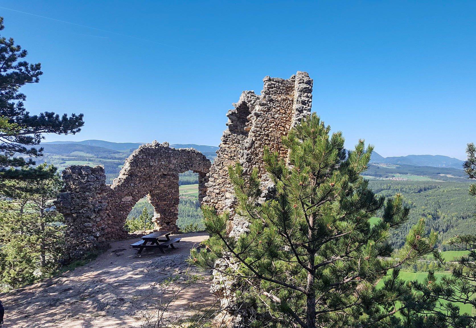
Family adventures in Vienna's local mountains
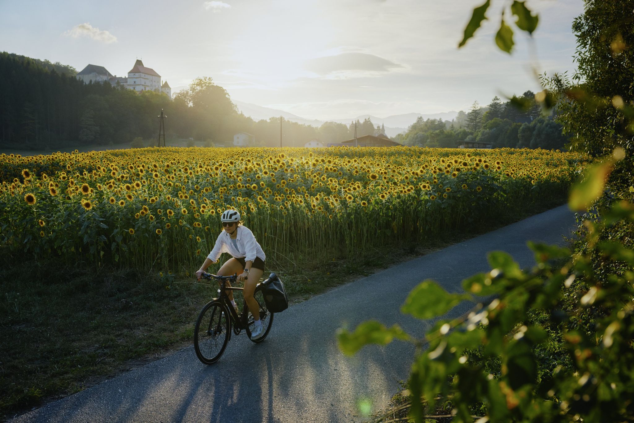
Ride & Relax – Mit dem Rad in den Wiener Alpen
Cycling around Kirchberg am Wechsel
MTB Trails around Kirchberg am Wechsel
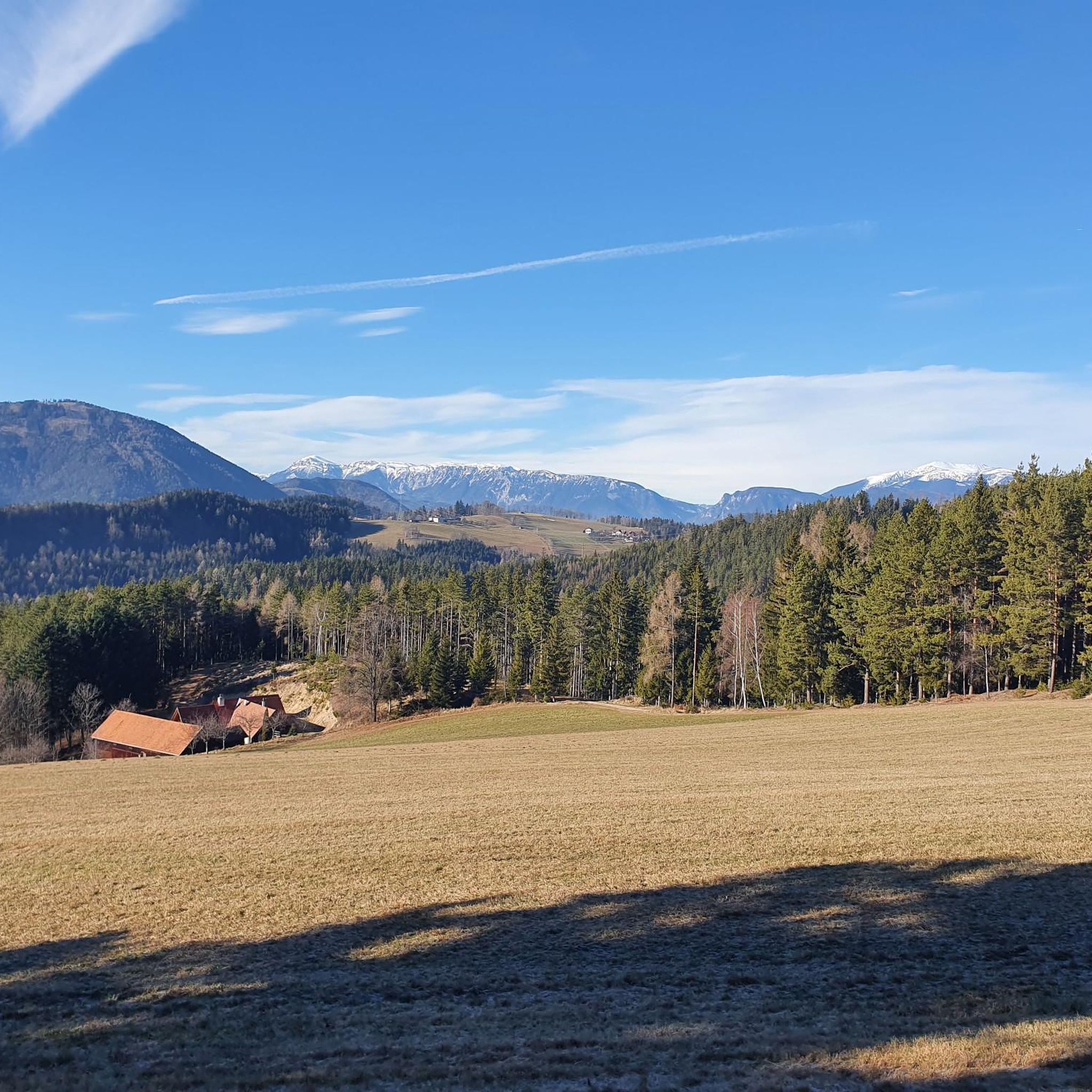
Running Trails around Kirchberg am Wechsel
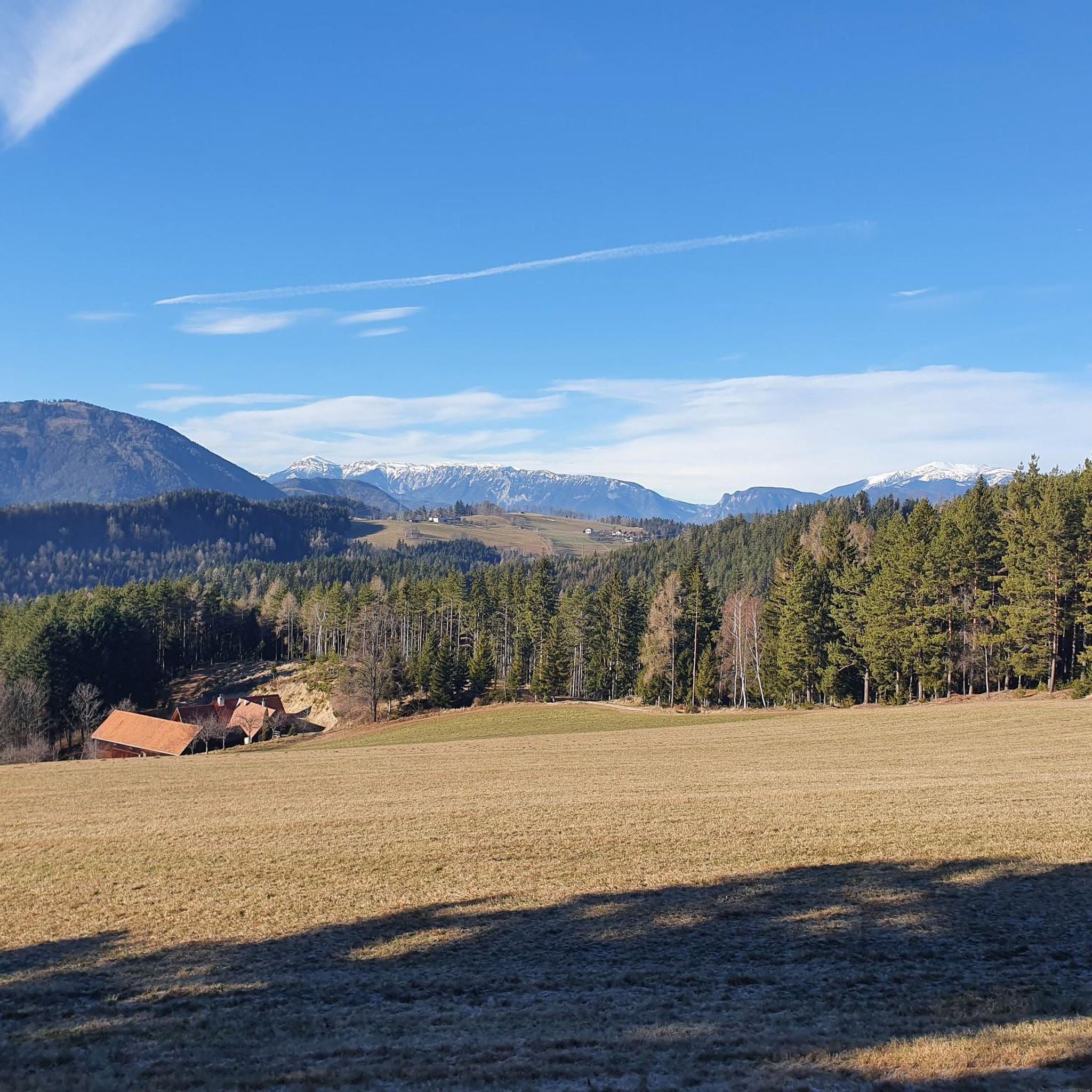
Road Cycling Routes around Kirchberg am Wechsel
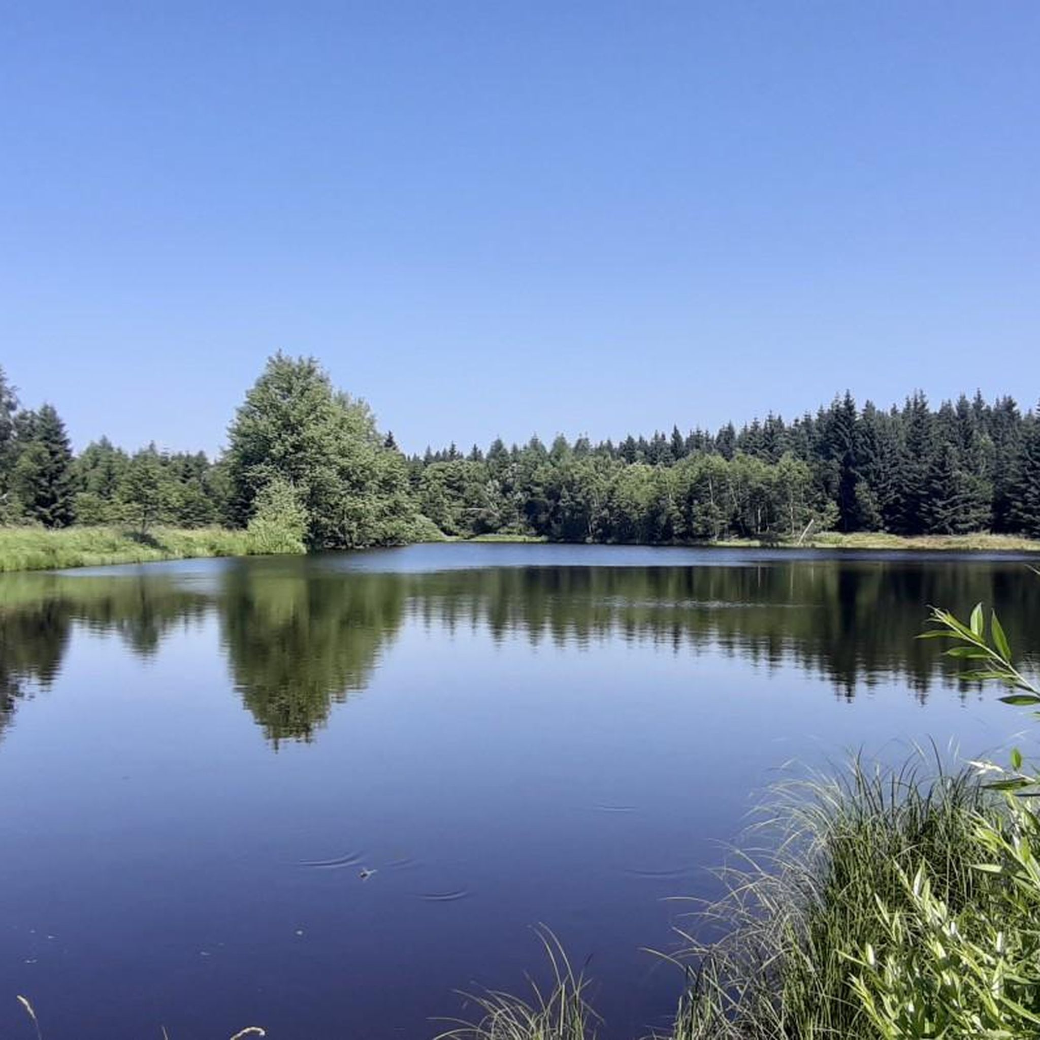
Mountain Hikes around Kirchberg am Wechsel
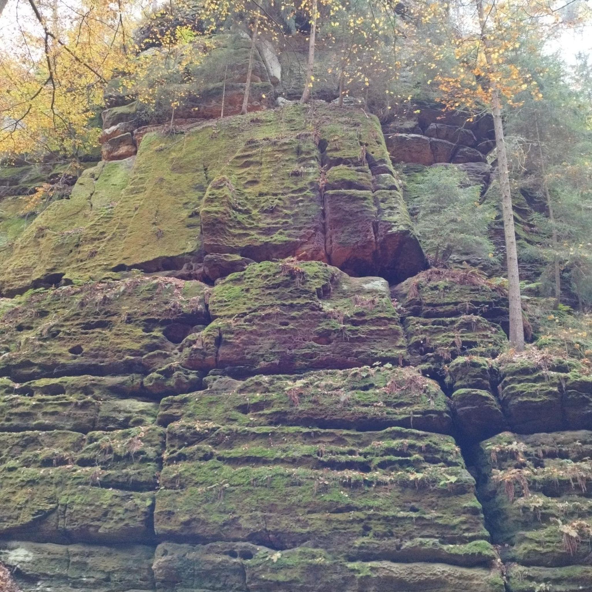
Gravel biking around Kirchberg am Wechsel
Other adventures around Kirchberg am Wechsel


Tips from the Community

At the highest pasture of Molzegg, we reach the farm, which also provides meals. The self-service honesty box system is located in the backyard of the house. Payment is by cash. We can sit in the area facing the parking lot, but it is also very spacious inside, with plenty of seating. The service is friendly, and they bring our order to the table.
0
0

The Schöberlriegel is a 1,704-meter-high, open summit dome in the Wechsel region between Arabichl and Umschußriegel. There is a stone cairn at the summit, and in clear weather, it offers a wide panoramic view, including towards the Hochwechsel, Stuhleck, Schneeberg, and Rax. Due to its exposed position on the ridge, however, the summit is highly exposed to the wind.
3
0
The large wooden „W“ stands directly on the Hochwechsel and marks the start of the Hochwechsel Trail „The WU“. It serves as a kind of gateway to the mountain bike trail, which leads from here across the alpine pasture in the direction of Marienseer Schwaig. Due to its striking shape, the „W“ is now also a distinctive photo motif directly on the Hochwechsel.
3
0
The Wetterkoglerhaus is located directly on the summit of the Hochwechsel at 1,743 meters and is a hut of the Austrian Alpine Club. With good visibility, the hut offers a magnificent panorama over the Wechsel region to Schneeberg, Rax, and Hochschwab. Due to its immediate proximity to the summit cross and chapel, the Wetterkoglerhaus is an ideal resting and refreshment stop at the highest point of the tour.
4
0
The Hochwechsel Trail Nord leads through the open alpine and mountain landscape of the Wechsel region up towards Hochwechsel. The path, which runs predominantly on loose ground, is actually part of the Wexl Trails mountain bike trail network, but can also be used in sections as a connection along a hiking route. Especially in the upper section, the route offers beautiful views over the extensive Wechsel Alps and the surrounding mountain world.
3
0
The Dreiländereck lies in a saddle between Arabichl and Umschußriegel and is an important junction in the Wechsel area. Contrary to what the name suggests, three federal states do not meet here; the designation apparently dates back to the confluence of three property boundaries. From here, paths branch off in the direction of Hochwechsel, Marienseer Schwaig, Kranichberger Schwaig, and Steyersberger Schwaig, among others.
4
0
The Arabichl is a 1,595-meter-high summit with panoramic views in the Wechsel area. The broad, open summit dome offers an impressive all-round panorama in good visibility – including towards Hochwechsel, Bucklige Welt, Schneeberg, Rax, Semmering, and Stuhleck. At the summit, there is no classic summit cross, but rather a sign and benches that invite you to a rest with a view.
3
1

However, numerous hiking trails still lead to and from the Kranichberger Schwaig, e.g. you can also reach the hut via the Feistritzsattel.
0
0
Frequently Asked Questions
How many hiking trails are there in Kirchberg am Wechsel?
Kirchberg am Wechsel offers a comprehensive network of nearly 70 hiking trails. These routes cater to various skill levels, with options ranging from easy walks to more challenging ascents, ensuring there's something for every hiker.
What is the best time of year to go hiking in Kirchberg am Wechsel?
The region is beautiful throughout spring, summer, and autumn. Spring brings vibrant flower meadows, while autumn showcases golden foliage. Summer offers pleasant temperatures for exploring the alpine pastures and mountain peaks. While the guide focuses on these seasons, some trails might also be suitable for winter hiking, depending on conditions.
Are there easy hiking trails suitable for families in Kirchberg am Wechsel?
Yes, Kirchberg am Wechsel is known for its family-friendly options. The Mönichkirchen-Mariensee Nature Park, for instance, features specially designed theme and nature trails that are engaging for all ages. Overall, there are 29 easy trails in the area, perfect for a relaxed family outing.
Are there any challenging hikes for experienced trekkers?
Absolutely. For those seeking a challenge, the region offers 6 difficult trails. Many of these involve ascents towards the Hochwechsel peak, which reaches 1,726 meters, providing significant elevation gain and rewarding panoramic views. Routes leading to the Hochwechsel summit are particularly popular for their demanding nature and expansive vistas.
What kind of views can I expect on the hiking trails?
Hikers can expect breathtaking panoramic views, especially from higher elevations. The Hochwechsel summit offers expansive vistas of the surrounding landscape, including the Rax and Schneeberg mountains. The Erzkogel summit provides sweeping views over the Semmering region, while the observation tower on the Hirschenkogel offers a spectacular 360-degree panorama of the Vienna Alps, Rax, and Schneeberg, extending into Styria.
Are there any circular hiking trails in Kirchberg am Wechsel?
Yes, many of the popular routes in Kirchberg am Wechsel are circular, allowing you to start and end at the same point. An example is the Kranichberger Schwaig – Feistritzer Schwaig loop, which offers scenic views across alpine pastures. Another great option is the Kirchberg Calvary – Kernstock Lookout on Wolfenkogel loop, starting directly from Kirchberg am Wechsel.
What are some interesting natural attractions or landmarks to see along the trails?
Beyond the stunning mountain scenery, you can explore unique natural features and landmarks. The region is characterized by extensive alpine pastures, known as "Schwaigen," which often feature mountain huts. For those interested in geology, the area is home to Lower Austria's largest stalactite cave, Hermann Cave, which is also an important bat hibernation site. Other caves like Ruprechtsloch Cave and Kulmriegel Cave (Marian Grotto) are also nearby.
What do other hikers say about the trails in Kirchberg am Wechsel?
The trails in Kirchberg am Wechsel are highly regarded by the komoot community, boasting an impressive average rating of 4.7 stars from over 370 reviews. Hikers frequently praise the diverse landscapes, from vibrant flower meadows to golden autumn forests, and the well-maintained paths across the scenic alpine pastures.
Are there any hikes that start directly from Kirchberg am Wechsel village?
Yes, several routes are accessible directly from the village. For example, the Kirchberg Calvary – Kernstock Lookout on Wolfenkogel loop is a moderate hike that starts from the center, leading past the Wolfgangskirche to the Kernstockwarte, offering views over the Feistritztal, Rax, and Schneeberg. Another option is the Hotel Molzbachhof – Pass Chapel loop.
Can I bring my dog on the hiking trails in Kirchberg am Wechsel?
While specific regulations can vary by trail or nature reserve, generally, dogs are welcome on most hiking trails in the Kirchberg am Wechsel region. It's always recommended to keep your dog on a leash, especially in areas with livestock or wildlife, and to carry waste bags. Always check local signage for any specific restrictions before you go.
Are there options for public transport to reach hiking starting points?
Kirchberg am Wechsel is generally accessible by public transport, though specific connections to remote trailheads might require some planning. Regional buses serve the area, connecting the village to surrounding communities. For detailed schedules and routes to specific starting points, it's advisable to check local public transport websites or plan your journey in advance.
Most popular routes around Kirchberg am Wechsel
Most popular attractions around Kirchberg am Wechsel

Get inspired with the komoot mobile app


Explore more
Browse the best Hikes in other regions.
