The 6 Most Amazing Peaks around Rodney Stoke
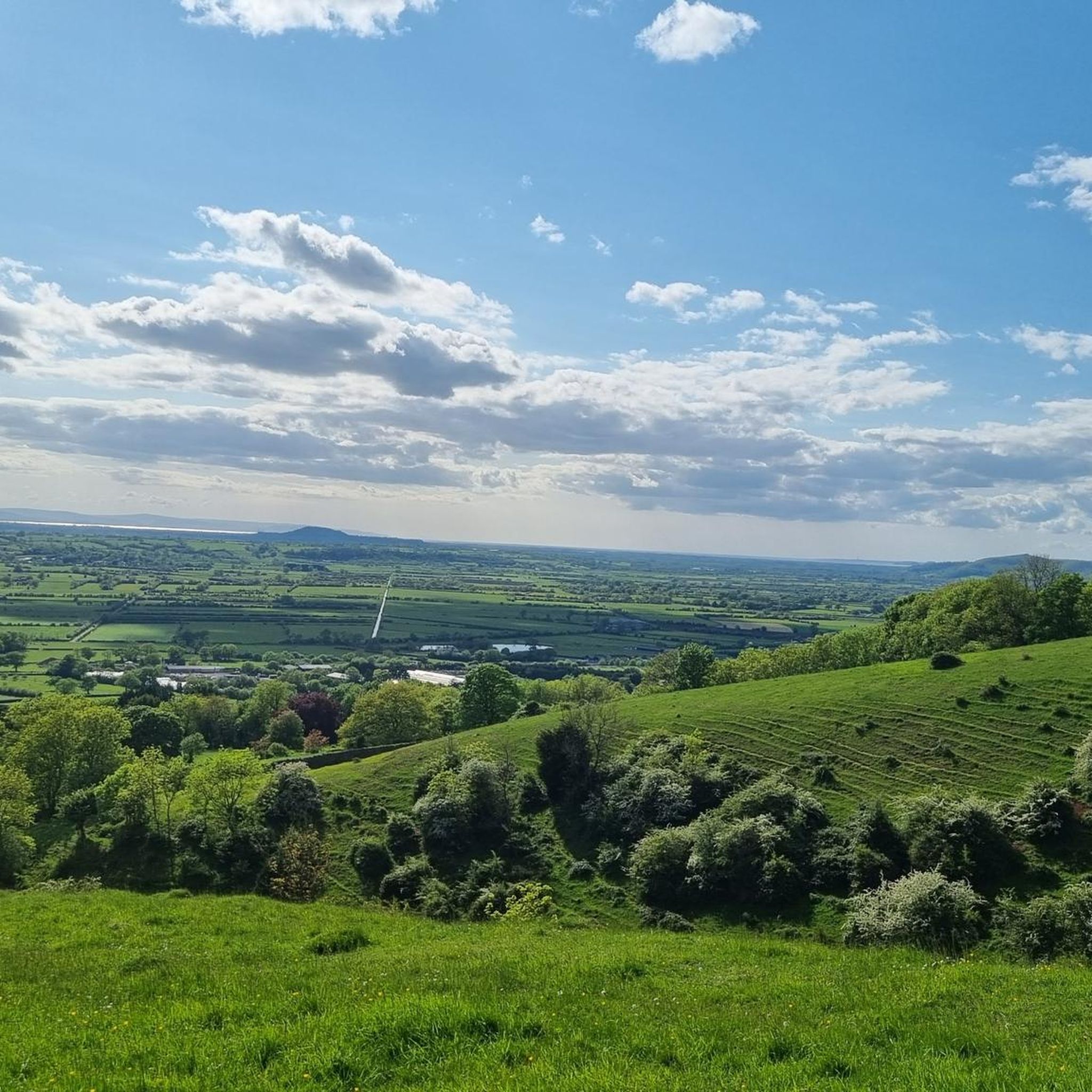
Best mountain peaks around Rodney Stoke are found within the Mendip Hills, an Area of Outstanding Natural Beauty. This region, situated at the foot of the Mendip Hills, features a landscape of rolling hills, woodlands, and limestone grasslands. These elevated areas provide opportunities for walking and offer panoramic views across the Somerset Levels. The area is known for its unique geology and ecology, making it a notable destination for outdoor exploration.
Best mountain peaks around Rodney Stoke
- The most popular…
Last updated: July 6, 2026
Beacon Batch summit trig point
Highlight • Viewpoint
Tip by

Black Down Summit and Wild Ponies
Highlight • Natural
Tip by

Sign up now to discover places like this
Get recommendations on the best single tracks, peaks, & plenty of other exciting outdoor places.
Sign up for free
Wavering Down Trig Point
Highlight • Natural Monument
Tip by

Mendip Hills National Landscape
Highlight • Natural
Tip by

North Hill
Highlight • Natural
Tip by
Sign up for free to discover even more peaks around Rodney Stoke.
Sign up for free
Already have an account?
Start today with a free account
Your next adventure awaits.
Login or Signup

Tips from the Community


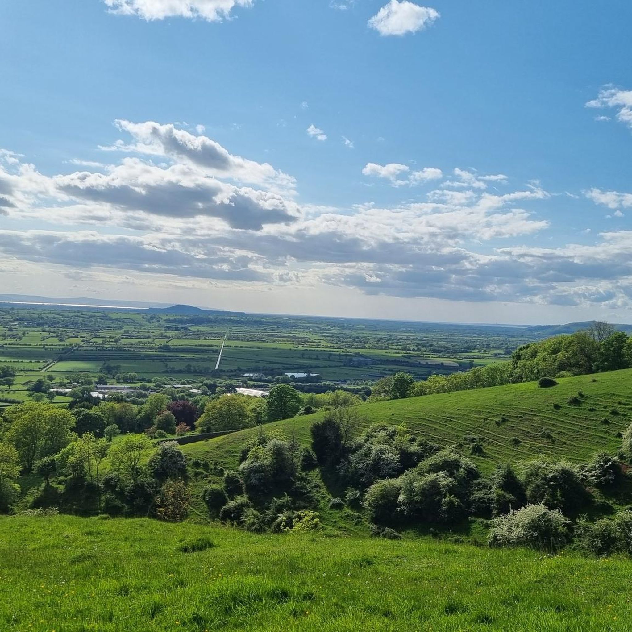
Black Down Hill or Beacons Batch is the highest hill in the Mendip Hills at 325m, Somerset, in south-western England. Black Down lies just a few miles eastward of the Bristol Channel at Weston-super-Mare, and provides a view over the Chew Valley. It has a trig pointed summit and is a UK designated Marilyn with a prominence of over 150m.
3
1

One of the highest points in the area with great views all around. Not too tough to climb or descend either, but can get overgrown in the Summer months.
0
0

Despite it's less than dramatic peak. North Hill is actually the Mendip Hills Area of Oustanding Natural Beauty's second highest hill at 300M high. It is situated between Priddy Mineries and Priddy Nine Barrows.
0
0
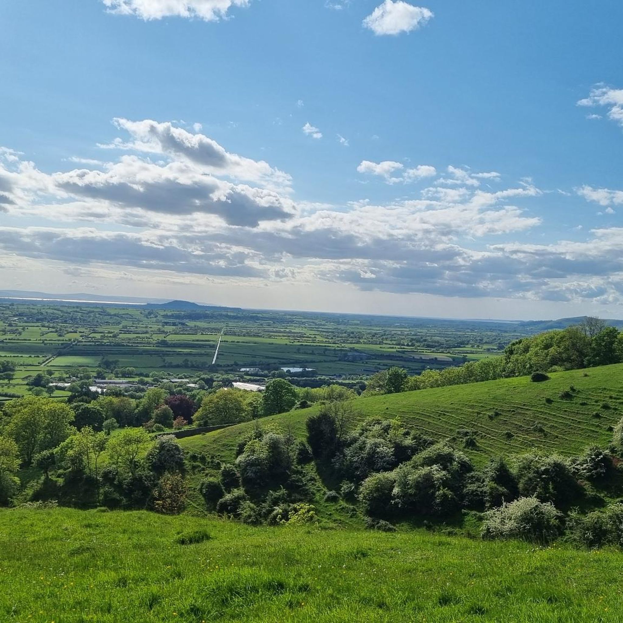
Wavering Down is a part if the large area adjoining to Crook Peak which is a geological and biological Site of Special Scientific Interest near the western end of the Mendip Hills Area of Outstanding Natural Beauty in Somerset. As part of the nature reserve management there are wild ponies and sheep grazing to protect the rare plants and flowers that the grassland supports. It is important to keep your dog under close control and on a lead at all times on Wavering Down and Crook Peak. Most of the site is owned by the National Trust who bought 725 acres (293 ha) in 1985, and much of it has been designated as common land. It was notified as an SSSI by Natural England in 1952. The ecology of the area includes ancient woodland and calcareous grassland which supports nationally rare species including the Cheddar pink. The underlying rocks are Carboniferous Limestone containing phreatic caves at Shute Shelve Cavern and Picken's Hole from which fossils dating from the Middle Devensian have been recovered.
3
2
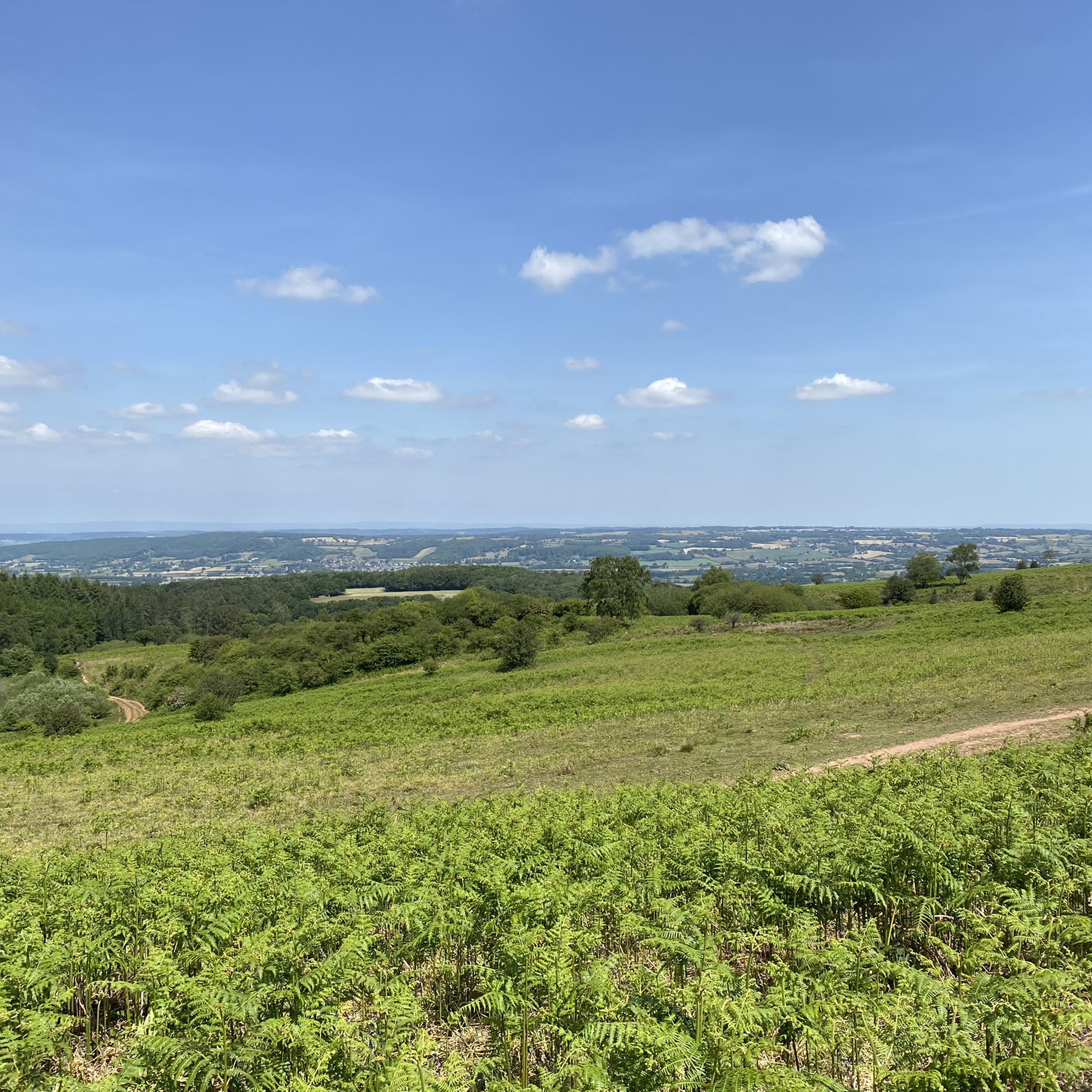
This special site is designated as a Site of Special Scientific interest for its valuable wildlife habitats and is a nationally important site for its archaeology from the late Stone Age and Bronze Age through to the Second World War. Black Down provides the largest area of open access on the Mendip Hills at over 400 ha. Black Down, like most heathlands, is formed through a combination of factors– soil type, rainfall and human activity. The underlying Old Red Sandstone rock together with high rainfall created a waterlogged and acidic soil. The removal of tree cover by our Bronze Age ancestors 2,000 years ago helped to make sure that the soil stayed damp and acid. Only certain plants can survive in this type of ground. The key species include heather or ling, bell heather, bilberry, purple moor grass and European gorse, along with mosses and lichens. Now the bracken is managed by harvesting and grazing by cattle and wild ponies to allow the heathers and grasses to flourish again. Black Down supports a wide variety of birds, mammals, reptiles and invertebrates.
3
0
This special site is designated as a Site of Special Scientific interest for its valuable wildlife habitats and is a nationally important site for its archaeology from the late Stone Age and Bronze Age through to the Second World War. Black Down provides the largest area of open access on the Mendip Hills at over 400 ha. Black Down, like most heathlands, is formed through a combination of factors– soil type, rainfall and human activity. The underlying Old Red Sandstone rock together with high rainfall created a waterlogged and acidic soil. The removal of tree cover by our Bronze Age ancestors 2,000 years ago helped to make sure that the soil stayed damp and acid. Only certain plants can survive in this type of ground. The key species include heather or ling, bell heather, bilberry, purple moor grass and European gorse, along with mosses and lichens. Now the bracken is managed by harvesting and grazing by cattle and wild ponies to allow the heathers and grasses to flourish again. Black Down supports a wide variety of birds, mammals, reptiles and invertebrates.
3
1

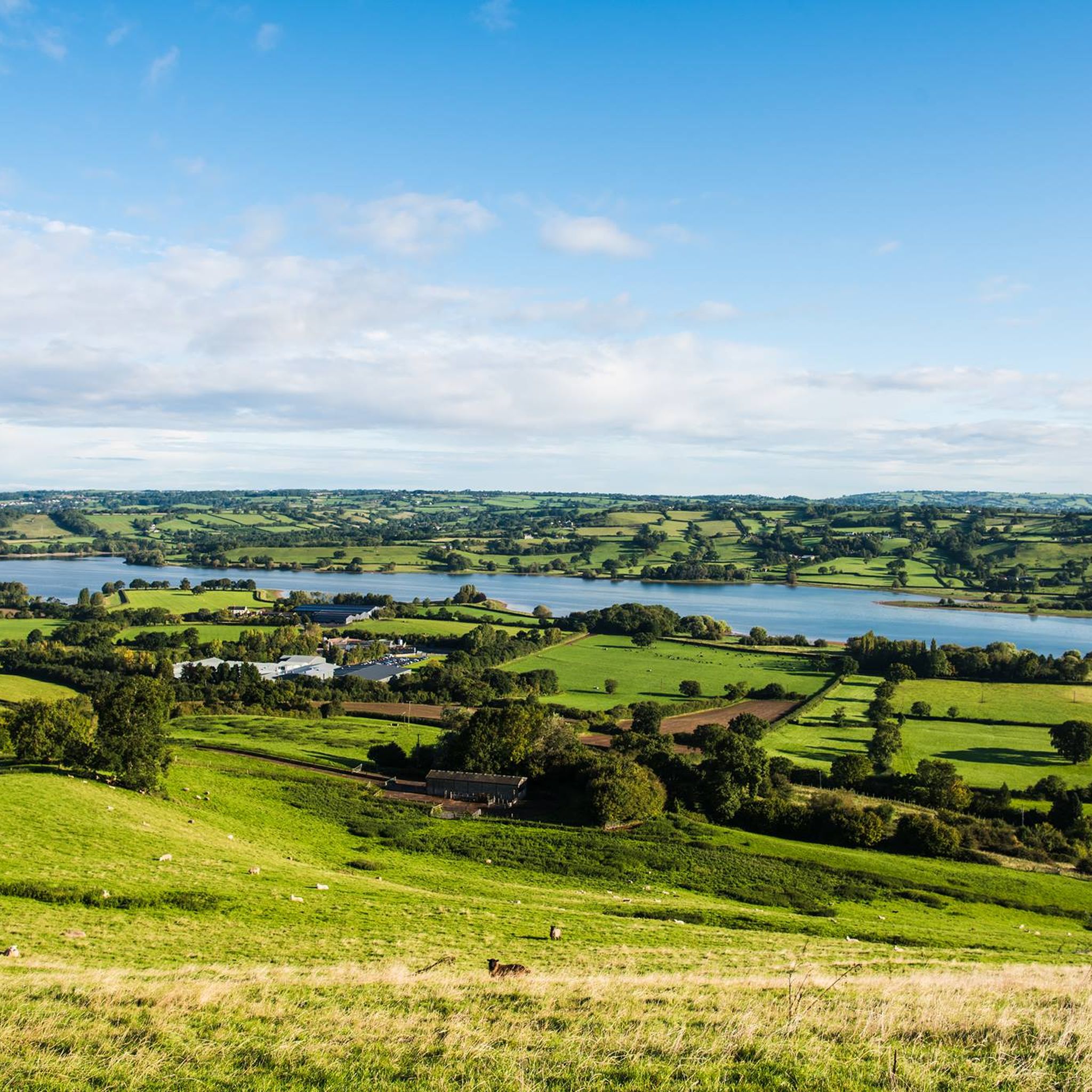
Owned and managed by the National Trust and part of the same SSSI as Crook Peak, Wavering Down is an impressive hill with even more impressive views. There's a trig point at the summit and the views include a glimpse of Cheddar reservoir. Half the down is open common land whilst the other half is fields.
4
0
Frequently Asked Questions
What are some of the most popular elevated areas to explore around Rodney Stoke?
The Mendip Hills, an Area of Outstanding Natural Beauty, offers several popular elevated areas. Among them, Beacon Batch summit trig point is the highest point, providing panoramic views. Another favorite is Black Down Summit and Wild Ponies, known for its extensive views and resident wild ponies. Wavering Down Trig Point also offers impressive vistas, including a glimpse of Cheddar reservoir.
Are there family-friendly walking options among the peaks near Rodney Stoke?
Yes, the Mendip Hills offer various walking opportunities suitable for families. While specific peaks might have varying terrain, areas like Black Down Summit and Wild Ponies are often considered family-friendly, especially for observing the wild ponies. Many trails in the region are accessible for a pleasant family outing.
What kind of natural features can I expect to see on the elevated walks around Rodney Stoke?
You'll encounter a diverse landscape of rolling limestone hills, woodlands, and limestone grasslands. Highlights like Beacon Batch summit trig point and Black Down Summit and Wild Ponies are part of heathlands, characterized by heather, bilberry, and gorse. The region is also known for its unique geology, including dramatic gorges and intricate cave networks within the broader Mendip Hills National Landscape.
Are there any historical or archaeological sites on the peaks near Rodney Stoke?
Yes, the Mendip Hills are rich in history. Beacon Batch summit trig point and Black Down Summit and Wild Ponies are nationally important for their archaeology, featuring Bronze Age burial mounds. The area's history spans from the late Stone Age and Bronze Age through to the Second World War.
What outdoor activities can I do near the mountain peaks around Rodney Stoke?
The area around Rodney Stoke is excellent for various outdoor activities. You can find numerous hiking trails, from easy to difficult, including routes like the 'Draycott Sleights Nature Reserve loop' or the more challenging 'View of Cheddar Gorge loop'. There are also options for running and gravel biking. For more details on routes, check out the Hiking around Rodney Stoke, Running Trails around Rodney Stoke, and Gravel biking around Rodney Stoke guides.
What is the best time of year to hike the peaks in the Mendip Hills?
The Mendip Hills offer beauty year-round, but spring and autumn are often ideal for hiking due to milder temperatures and vibrant scenery. Summer provides longer daylight hours, though some areas can get overgrown. Winter walks can be invigorating, but conditions may be challenging on higher, exposed ground like Beacon Batch.
Are dogs allowed on the trails around the Mendip Hills peaks?
Many trails in the Mendip Hills are dog-friendly. However, areas like Wavering Down and Crook Peak, where wild ponies and sheep graze to protect rare plants, require dogs to be kept under close control and on a lead at all times. Always check local signage for specific restrictions.
Where can I find the best panoramic views in the Mendip Hills near Rodney Stoke?
For breathtaking panoramic views, head to Beacon Batch summit trig point, the highest point in the Mendips. From here, you can see across the Bristol Channel into Wales, over Weston-super-Mare, the Chew Valley, and the wider Mendips. Black Down Summit and Wavering Down Trig Point also offer extensive vistas across the Somerset Levels.
What wildlife might I encounter while hiking in the Mendip Hills?
The Mendip Hills are rich in wildlife. On heathlands like Black Down, you might spot wild ponies and cattle grazing, which help manage the landscape. The area supports a wide variety of birds, mammals, reptiles, and invertebrates. The calcareous grasslands also support nationally rare plant species.
Is there public transport available to reach the Mendip Hills walking areas from Rodney Stoke?
While Rodney Stoke itself is a village, public transport options to directly access specific trailheads in the Mendip Hills can be limited. It's advisable to check local bus services for routes connecting to larger towns in the Mendips, from where you might be able to access walking areas. Planning your journey in advance is recommended.
What is the second highest point in the Mendip Hills?
The second highest point in the Mendip Hills is North Hill, standing at 300 meters. It is situated between Priddy Mineries and Priddy Nine Barrows and offers great views, despite its less dramatic peak.
What makes the Mendip Hills an Area of Outstanding Natural Beauty?
The Mendip Hills are designated an Area of Outstanding Natural Beauty (AONB) due to their distinctive landscape of rolling limestone hills, woodlands, and limestone grasslands. The area is also recognized for its unique geology, including dramatic gorges and intricate cave systems, and its rich ecological and archaeological significance.
Most popular routes around Rodney Stoke
Most popular attractions around Rodney Stoke

Get inspired with the komoot mobile app


Explore more
See even more amazing summits around Rodney Stoke with these guides:
