The best mountain hikes around Glödnitz
4.8
(11)
74
hikers
3
hikes
Mountaineering routes Glödnitz are situated within the Gurktal Alps, offering a diverse topography of rolling hills, dense forests, and alpine meadows. The region is characterized by its proximity to the Nockberge mountains and features high plains such as Flattnitz, which serve as starting points for many routes. This varied landscape provides a range of mountaineering experiences, from accessible alpine paths to more demanding mountain ascents.
Best mountaineering routes around Glödnitz
- The most popular mountaineering route is Turracher See – Salzsteig…
Last updated: June 26, 2026
4.0
(5)
26
hikers
Hard mountaineering route. Good fitness required. Sure-footedness, sturdy shoes and alpine experience required.
5.0
(3)
19
hikers
Hard mountaineering route. Good fitness required. Sure-footedness, sturdy shoes and alpine experience required.

Sign up for free
5.0
(2)
8
hikers
20.7km
07:05
990m
990m
Hard mountaineering route. Very good fitness required. Mostly accessible paths. Sure-footedness required.
8
hikers
Hard mountaineering route. Good fitness required. Sure-footedness, sturdy shoes and alpine experience required.
7
hikers
18.6km
05:41
650m
650m
Hard mountaineering route. Very good fitness required. Mostly accessible paths. Sure-footedness required.
Our route recommendations are based on thousands of hikes, rides, and runs completed by other people on komoot.
Start today with a free account
Your next adventure awaits.
Login or Signup
Popular around Glödnitz
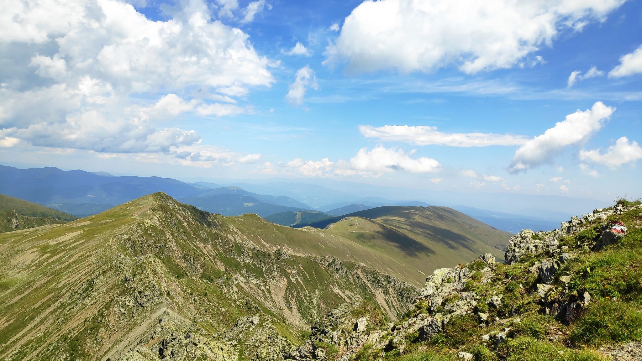
Austria's Salt Trail — On old paths through Carinthia
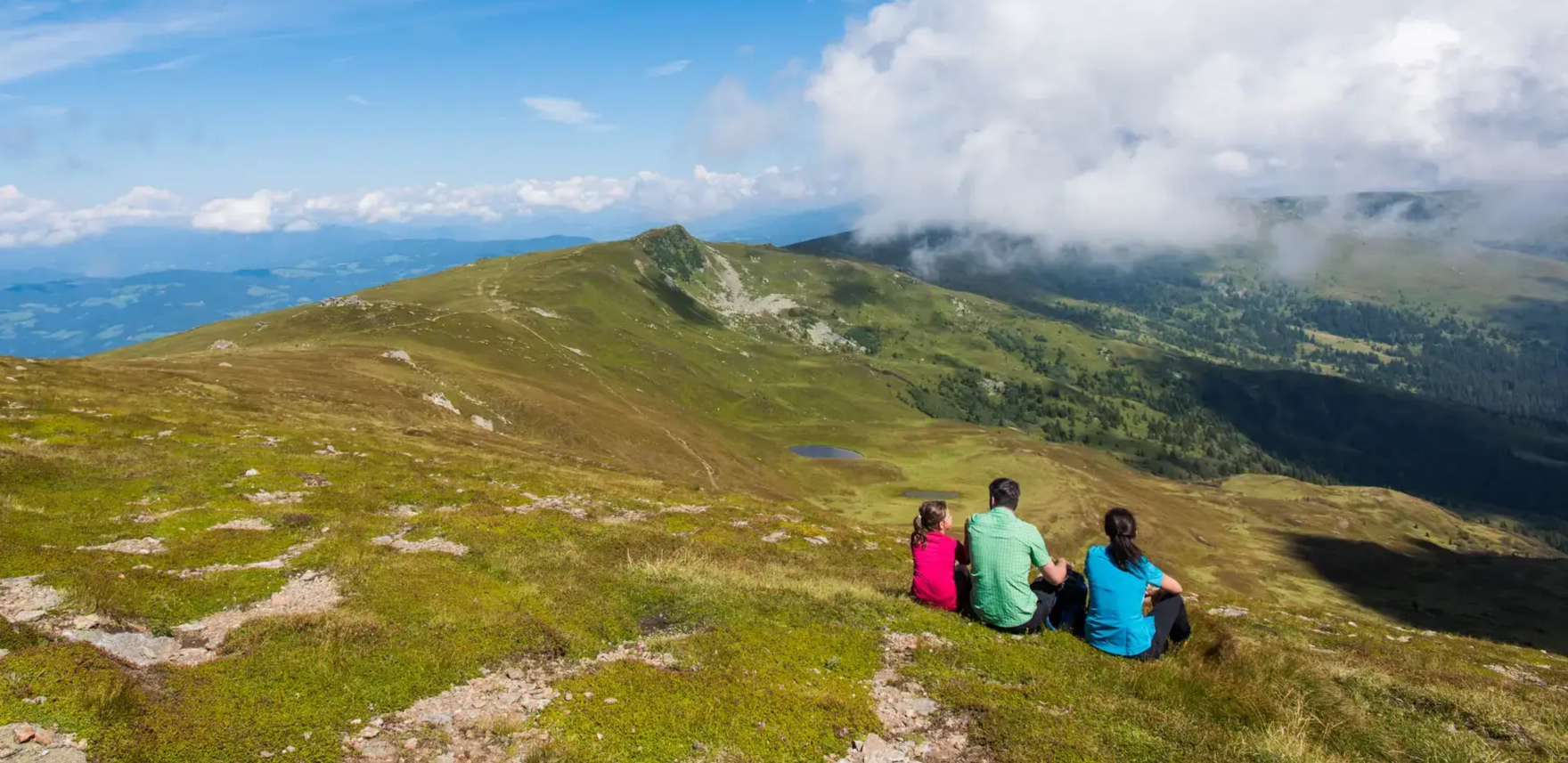
Even more spectacular from above – hikes with a view in Central Carinthia
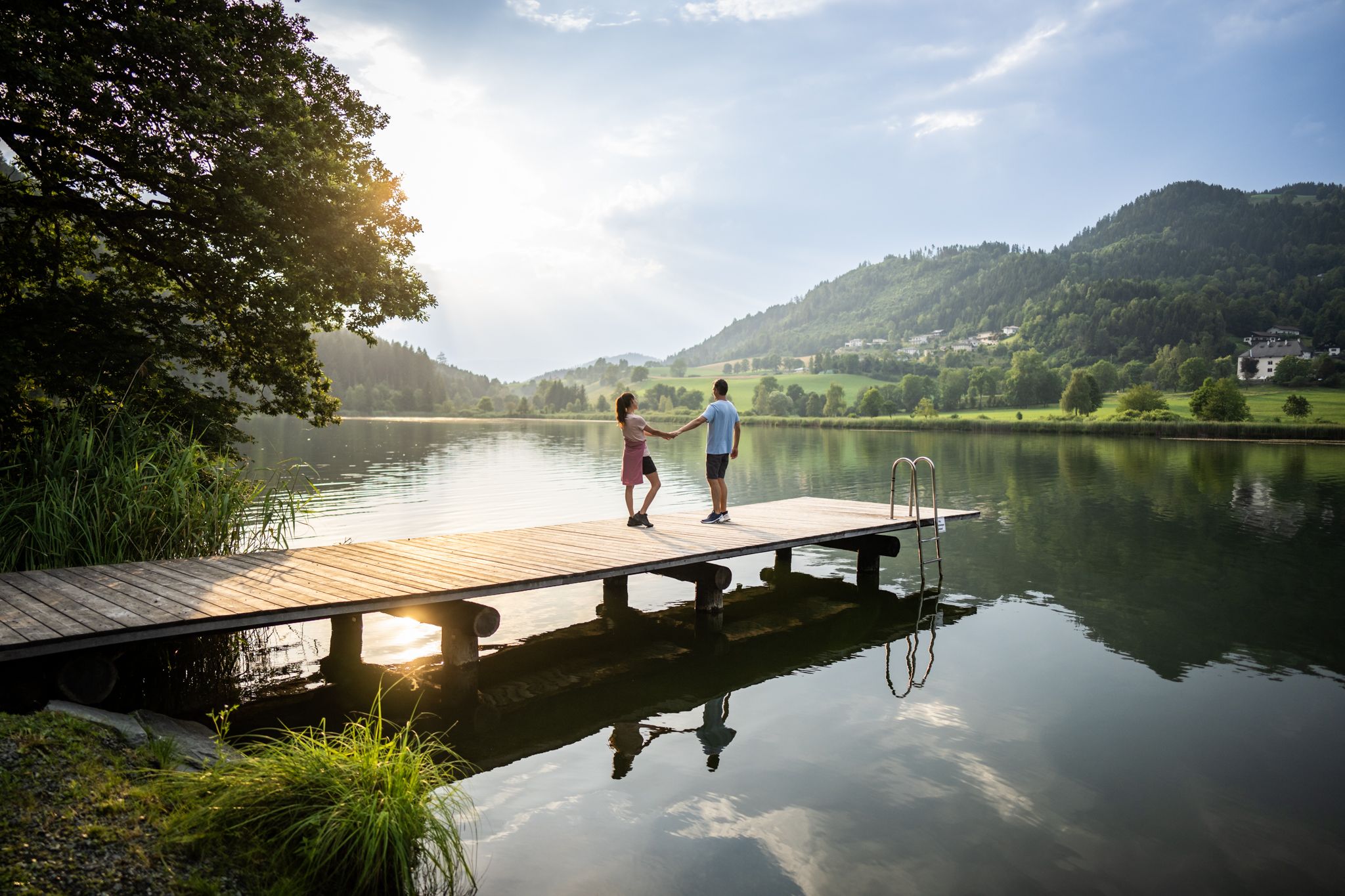
Refreshing Trails – hiking trails on the water in Central Carinthia
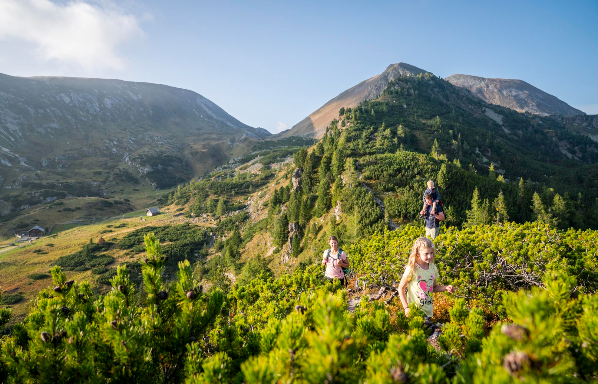
Joyous adventures experienced together – family hiking in Carinthia
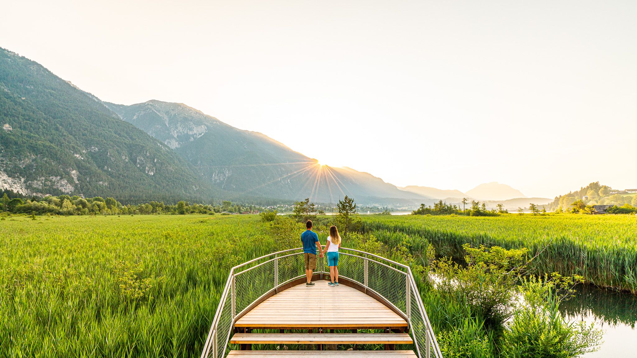
Relaxed hiking — discover the Slow Trails in Carinthia
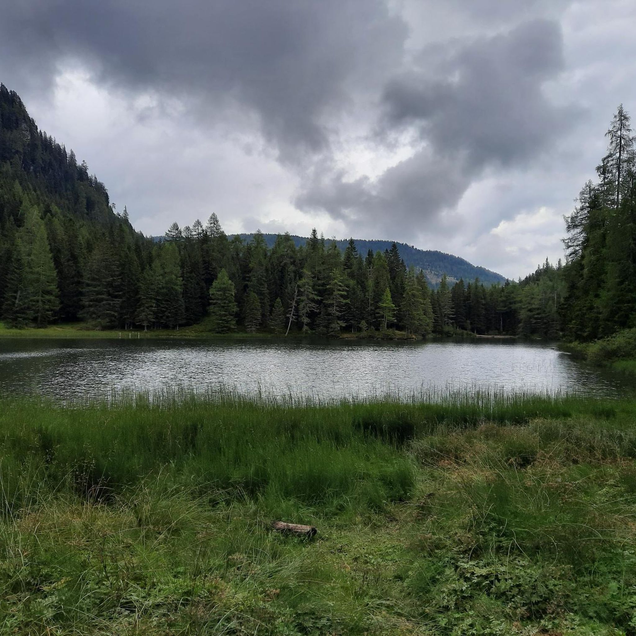
Hiking around Glödnitz
Road Cycling Routes around Glödnitz
MTB Trails around Glödnitz
Cycling around Glödnitz
Running Trails around Glödnitz
Other adventures around Glödnitz


Tips from the Community

Delicious food is available here and the prices are quite reasonable for a mountain hut
0
0
With photo station by Nocky
0
0


At this point, the hiker encounters another small sacred monument. A fieldstone enclosure combined with wooden beams creates a small "sacred area." The wooden crucifix—a cross with the body of the crucified Christ—is topped with a protective gabled roof and a diamond-shaped back wall. It also bears the frequently seen INRI inscription above Christ's head, with another at his feet.
0
0

...the Turracher Höhe is a beautiful hiking area with wonderful views! 🥾❄️🚡👀
4
0
...the Turracher Höhe is a beautiful hiking area with wonderful views! 🥾👀
3
0
...the Turracher Höhe is a beautiful hiking area with wonderful views! 🥾👀
3
0
Frequently Asked Questions
What kind of mountaineering routes can I expect in Glödnitz?
Glödnitz, situated in the Gurktal Alps and near the Nockberge mountains, offers a diverse range of mountaineering experiences. You'll find everything from accessible alpine paths through rolling hills and flowering meadows to more demanding mountain ascents in dense forests and high alpine terrain. The region is known for its varied topography, providing options for different skill levels.
Are there any beginner-friendly mountaineering routes in Glödnitz?
Yes, while many routes offer a challenge, there are options suitable for beginners. The region features easy-to-walk alpine paths, such as those leading to the Schoberriegel Summit, which is considered a popular hiking mountain due to its beautiful vistas and accessibility. These paths allow you to enjoy the stunning scenery without extreme difficulty.
Where can I find challenging mountaineering routes in Glödnitz?
For those seeking a challenge, Glödnitz offers several demanding routes. The Kornock Summit loop from Turracher Höhe is a difficult 8.1 km path ascending to Kornock Summit, providing panoramic vistas. Another rigorous option is the Lattersteighöhe (2,265 m) – Anderl Cross loop from Albeck, a challenging 20.7 km route with significant elevation gain.
Are there any circular mountaineering routes available?
Yes, several routes in the Glödnitz area are designed as circular tours, allowing you to start and end at the same point. For example, the Turracher See – Salzsteig Trail loop from Turracher Höhe is a moderate 9.9 km circular route offering views of Turracher See. Another option is the Ridge Hike to Rinsennock – Rinsennock Summit (2,334 m) loop from Turracher Höhe, which is a difficult 12.9 km circular trail.
What are some notable natural attractions or viewpoints along the routes?
The Glödnitz region is rich in natural beauty. You can enjoy expansive views from the Schoberriegel Summit (2,208 m) over the Carinthian Nockberge and Gurktal Alps. The area also features serene lakes like Schwarzsee (Turrach Heights) and Flattnitzer See, which is surrounded by an alpine water trail. The unique Hochmoor Trail, with its wooden walkways through the Türkenmoos nature reserve, offers insights into local flora and fauna.
Can I find places to eat or stay near the mountaineering trails?
Yes, there are huts and cabins in the vicinity that can serve as places to rest or grab a bite. Notable options include Karlhütte, S'Hüttenplatzerl, and SennAlm at Schwarzsee. These provide opportunities to refuel or find accommodation close to the trails.
What is the best time of year for mountaineering in Glödnitz?
The warmer months, typically from late spring to early autumn, are ideal for mountaineering in Glödnitz. During this period, the alpine meadows are flowering, and the trails are generally clear of snow, offering the best conditions for hiking and enjoying the expansive views. The region also transforms into a popular winter sports area, but for mountaineering, summer and early fall are preferred.
Are there any family-friendly options for exploring the Glödnitz mountains?
While many routes are geared towards mountaineering, the region does offer more leisurely paths suitable for families. The easy-to-walk alpine paths, such as those leading to the Schoberriegel Summit, provide a great way for families to experience the mountain environment. Additionally, the Hochmoor Trail offers an accessible and educational experience with its wooden walkways and information boards.
What do other mountaineers say about the routes in Glödnitz?
The mountaineering routes around Glödnitz are highly rated by the komoot community, with an average score of 4.8 stars from over 10 reviews. Users often praise the varied terrain, from high plains to dense forests, and the breathtaking panoramic views of the Nockberge and Gurktal Alps. The well-marked trails and diverse options for different skill levels are also frequently highlighted.
Is parking available near the trailheads in Glödnitz?
Many popular starting points for mountaineering routes in Glödnitz, such as the Flattnitz high plain and Turracher Höhe, offer designated parking facilities. It's advisable to check specific route descriptions for detailed information on parking availability at individual trailheads.
Can I spot wildlife while mountaineering in Glödnitz?
The diverse landscapes of Glödnitz, including dense forests, alpine meadows, and nature reserves like Türkenmoos, provide habitats for various wildlife. While specific sightings are never guaranteed, you might encounter local fauna, especially in quieter areas and during early morning or late evening hours. The Hochmoor Trail, in particular, focuses on local flora and fauna.
Most popular attractions around Glödnitz

Get inspired with the komoot mobile app


Explore more
Browse the best Mountain Hikes & Routes in other regions.
