The 16 Most Amazing Peaks around Woolbeding With Redford
Best mountain peaks around Woolbeding With Redford are characterized by rolling hills and elevated commons within the South Downs National Park. These elevated areas offer visitors expansive views and opportunities for exploration within a landscape rich in natural beauty and historical significance. The region features several notable high points that provide remarkable landscapes and hiking opportunities.
Best mountain peaks around Woolbeding With Redford
- The most popular mountain peaks is Temple of the Wind Viewpoint, a viewpoint that offers extensive…
Last updated: July 1, 2026
Devil's Humps (Bronze Age Barrows)
Highlight • Historical Site
Tip by

Torberry Hill Iron Age Hillfort
Highlight • Historical Site
Tip by

Sign up now to discover places like this
Get recommendations on the best single tracks, peaks, & plenty of other exciting outdoor places.
Sign up for free
Temple of the Wind Viewpoint
Highlight • Viewpoint
Tip by

Black Down Summit and Viewpoint
Highlight • Natural Monument
Tip by

Lancaster Bomber Crash Site Memorial, Littleton Down
Highlight • Viewpoint
Tip by

Sign up for free to discover even more peaks around Woolbeding With Redford.
Sign up for free
Already have an account?
Start today with a free account
Your next adventure awaits.
Login or Signup
Popular around Woolbeding With Redford
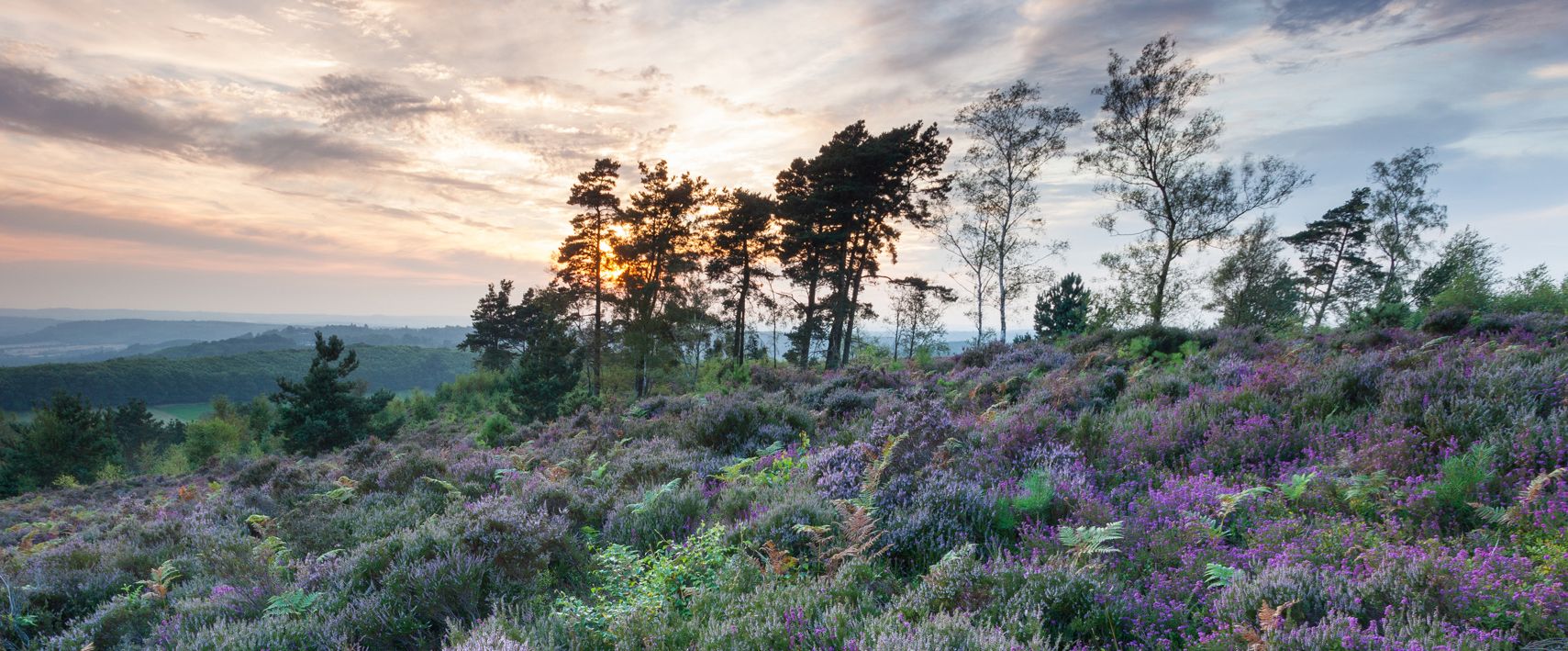
Hiking the Serpent Trail — Snake across Sussex's vibrant Greensand Hills
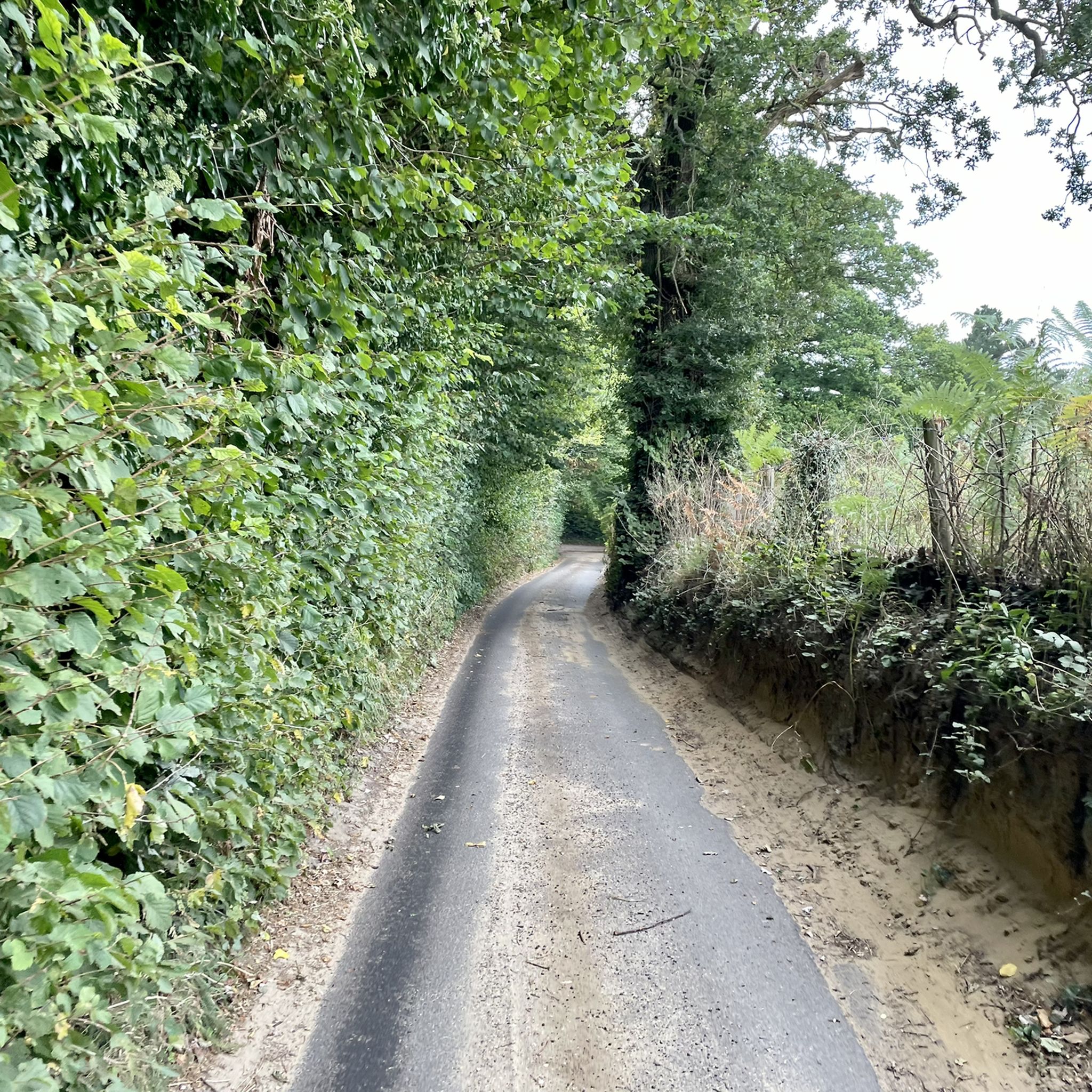
Cycling around Woolbeding With Redford
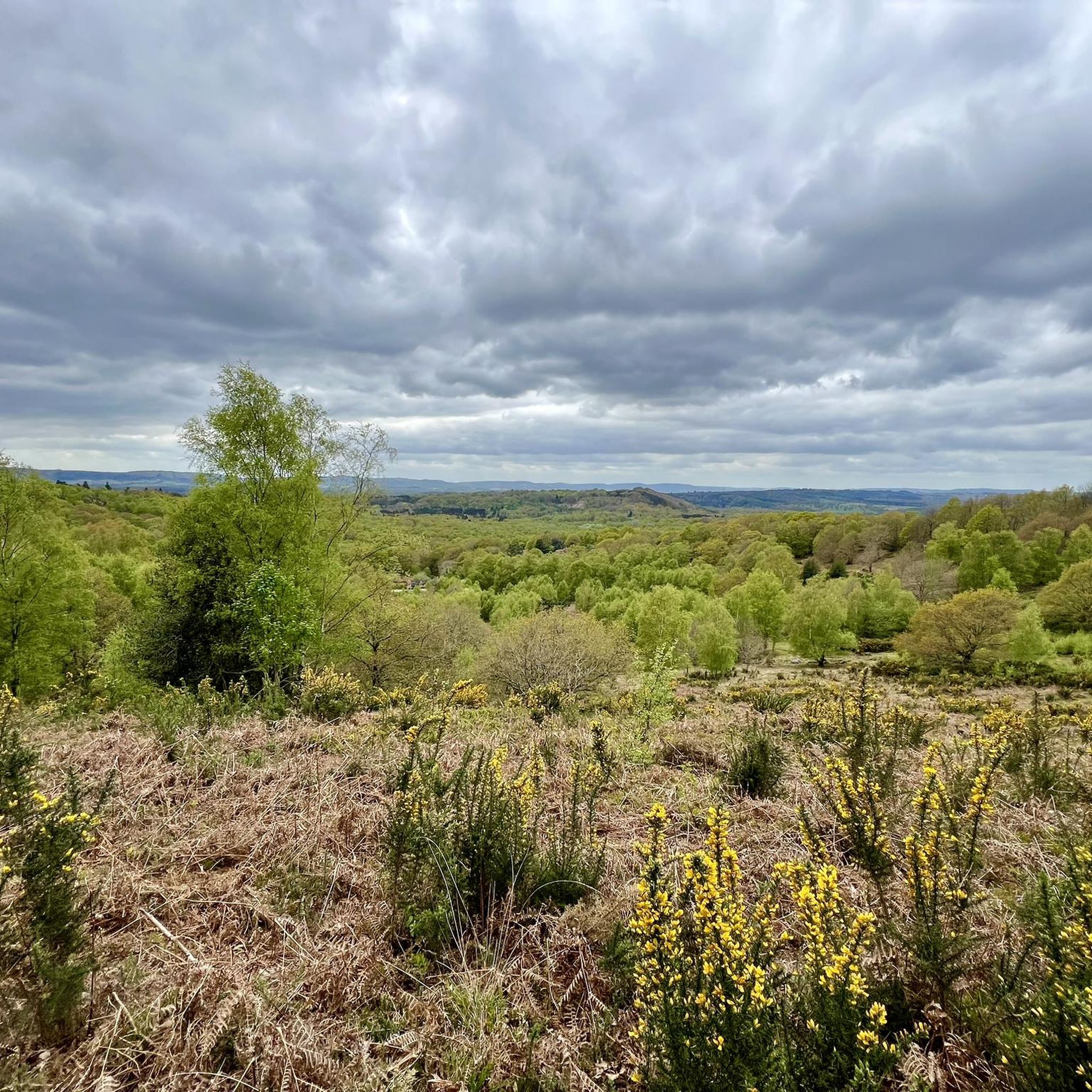
Hiking around Woolbeding With Redford
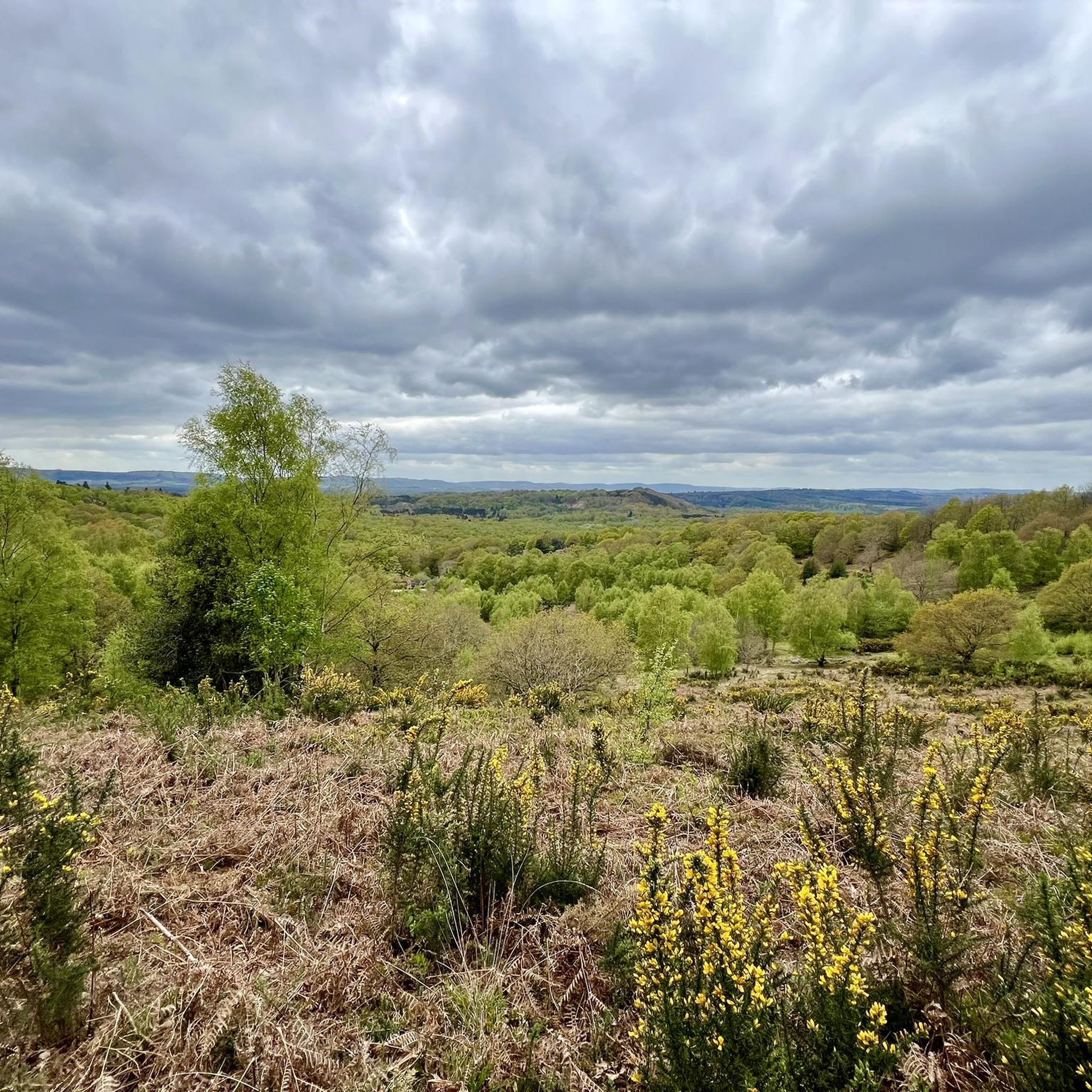
Road Cycling Routes around Woolbeding With Redford
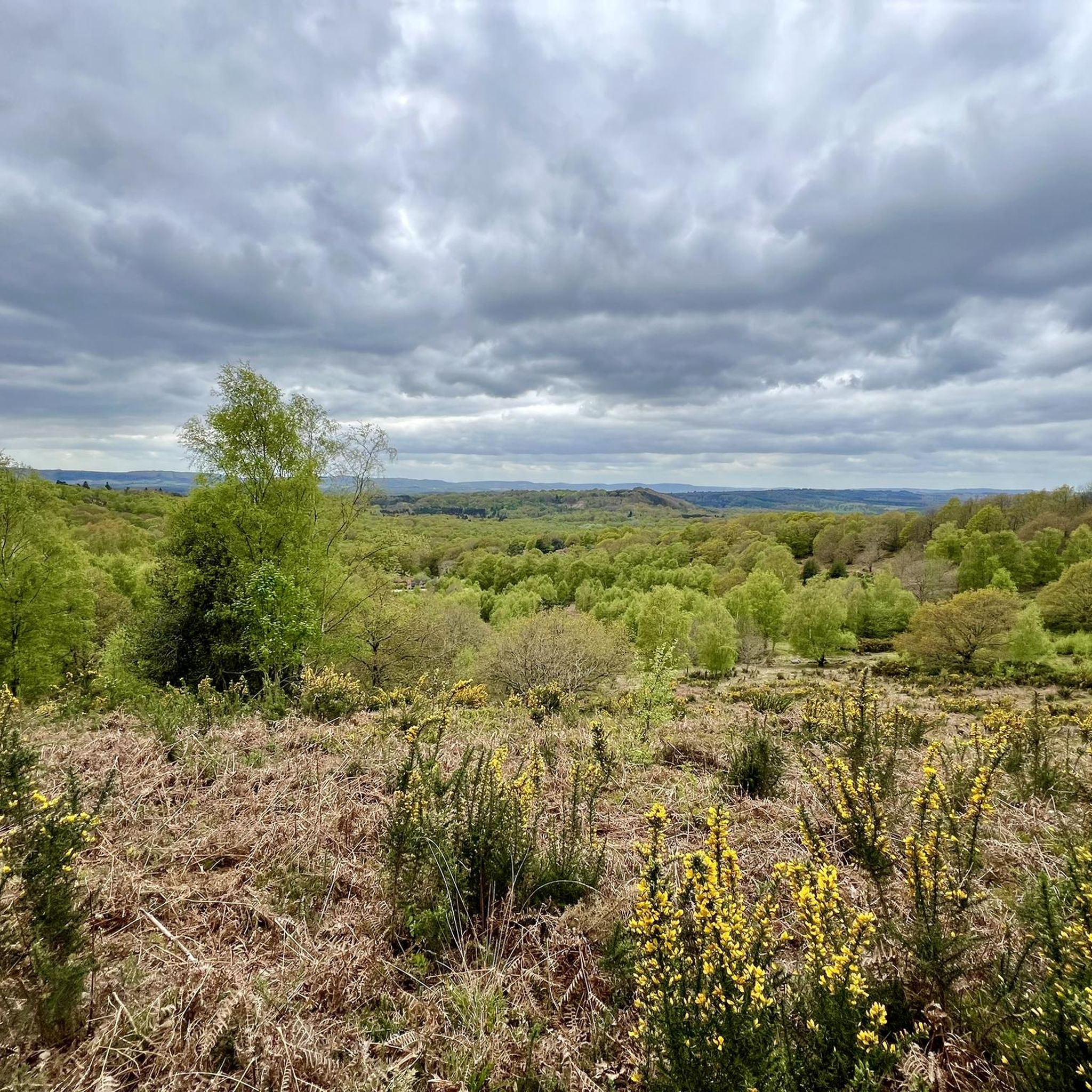
MTB Trails around Woolbeding With Redford
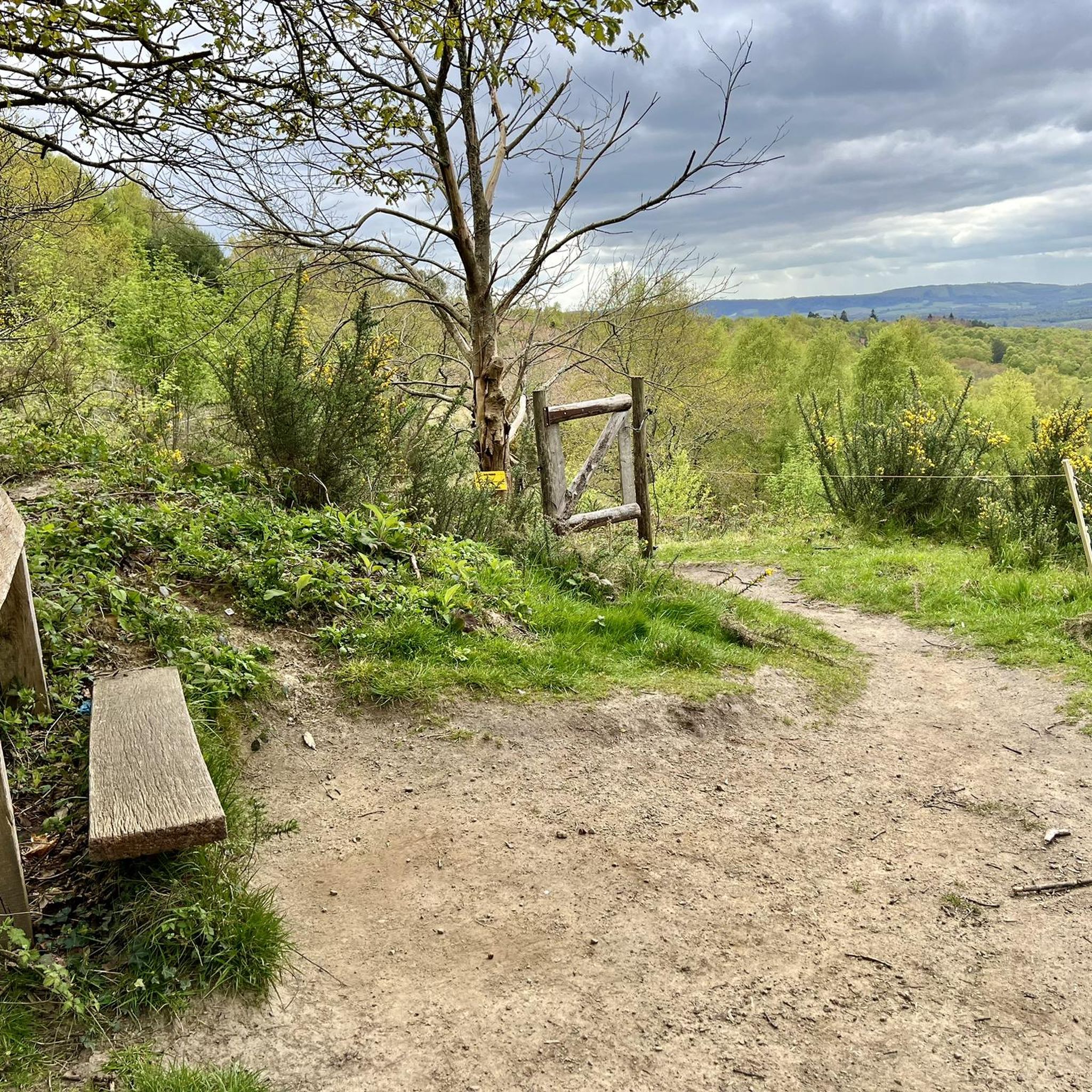
Running Trails around Woolbeding With Redford
Gravel biking around Woolbeding With Redford
Other adventures around Woolbeding With Redford

Tips from the Community


It's worth noting that the pictures here are of Devil's Humps (10 mins away) not Bow Hill. This marker is in the middle of some woodland without a view (but you do walk past a good view as you turn off the main path!)
0
0

This is one of many downed aircraft memorials along the South Downs Way. This one is also at the top of Littleton Down, which, at 255 metres high, is also a UK p100 top.
0
0

The views were amazing, after the 800 ft climb 😆
1
0


Black Down is the highest point in the South Downs National Park at 290 m. As such it is also is classified one of the UK's Marilyns. Expect a landscape of wavy hair grass, purple heather and pine trees.
0
0

Nice place with spectacular views. Easy path.
2
0
Known as the ‘Devil’s Humps‘and the ‘King's Graves,‘ many legends and folklores surround these Bronze Age barrows. Whatever the truth the commanding position at the very top of Kingley Vale is a clear indication that they marked the resting place of important people, perhaps tribal leaders. This may be evidence of the beginnings of social hierarchies at this time. https://www.southdowns.gov.uk/wp-content/uploads/2018/02/Kingley-Vale-Hidden-Trail-Final-web-version.pdf
0
0
Frequently Asked Questions
What are some of the most scenic viewpoints in Woolbeding With Redford?
For expansive views, consider visiting the Temple of the Wind Viewpoint, which offers panoramic vistas across the surrounding landscape. Another excellent spot is the Black Down Summit and Viewpoint, known for its 360° field of view and extensive wooded areas. Woolbeding Common Viewpoint also provides exceptional views towards the South Downs.
Are there any historical sites among the elevated areas in Woolbeding With Redford?
Yes, the region is rich in history. You can explore the Devil's Humps (Bronze Age Barrows), ancient burial mounds that offer spectacular views and a glimpse into the region's archaeological past. Additionally, Torberry Hill Iron Age Hillfort is a significant historical site and summit, featuring a pear-shaped layout and Iron Age storage pits.
What is the highest point in Woolbeding With Redford?
Telegraph Hill, standing at 206 meters above sea level, is identified as the parish's highest point. It offers expansive views of the surrounding countryside, characteristic of the South Downs National Park.
Are there family-friendly elevated areas or walks in Woolbeding With Redford?
Absolutely. The Temple of the Wind Viewpoint is categorized as family-friendly. Torberry Hill Iron Age Hillfort is also suitable for families. Woolbeding Common Viewpoint is conveniently located a short walk from a car park, making it ideal for those who prefer shorter walks to impressive scenery.
What kind of outdoor activities can I do near these elevated areas?
The region offers a variety of outdoor activities. For mountain biking, you can find routes like the 'Harting Down – Queen Elizabeth Country Park loop' or 'Iping Common Bridleway – Stanley Common Bridleway loop'. Gravel biking options include the 'Great Ridge Trail – Harting Down loop'. If you prefer road cycling, routes such as 'Elsted Road – Cadence Café loop' are available. You can find more details on these activities in the MTB Trails around Woolbeding With Redford, Gravel biking around Woolbeding With Redford, and Road Cycling Routes around Woolbeding With Redford guides.
What is Older Hill known for?
Older Hill, at 183 meters, is the highest point within Woolbeding and Pound Commons. It features varied terrain with slopes, plateaus, and sunken lanes, and offers panoramic views across the surrounding Weald. It's also part of several hiking routes, including the 'Woolbeding Common Viewpoint – Older Hill Trig Point loop'.
Are there any memorials or unique historical points on the peaks?
Yes, the Lancaster Bomber Crash Site Memorial, Littleton Down is a poignant historical site located at the top of Littleton Down. This memorial commemorates a Lancaster bomber that crashed in 1944, and the site itself offers elevated perspectives.
What do visitors particularly enjoy about the elevated areas in Woolbeding With Redford?
Visitors frequently praise the spectacular and extensive views from various points. For instance, the Temple of the Wind Viewpoint is noted for its amazing vistas, especially on clear mornings. The Black Down Summit and Viewpoint is appreciated for its 360° field of view and the natural wonders found within its wooded areas.
What kind of terrain can I expect on walks around Woolbeding Common?
Woolbeding Common is a 425-acre expanse of heathland and open common land. Elevated areas like Older Hill within the common feature slopes, plateaus, and sunken lanes with exposed roots and sandstones, reflecting long-term erosion. Trails like the 'Woolbeding Common loop to Titty Hill' offer moderate walks through this diverse heathland.
Is there a good spot to see the South Downs from these peaks?
The Woolbeding Common Viewpoint is highly regarded for its exceptional views towards the South Downs and Titty Hill. It's a popular spot for hikers seeking impressive scenery with a relatively short walk.
What is the best time of year to visit the peaks in Woolbeding With Redford?
While the elevated areas can be enjoyed year-round, clear days offer the best visibility for panoramic views. Visiting after a fresh snowfall in winter can provide a unique and beautiful experience, particularly at Black Down Summit and Viewpoint. Early mornings on clear days are also recommended for stunning vistas from places like the Temple of the Wind Viewpoint.
Most popular routes around Woolbeding With Redford
Most popular attractions around Woolbeding With Redford

Get inspired with the komoot mobile app


Explore more
See even more amazing summits around Woolbeding With Redford with these guides:
