The best MTB trails around Shalford
4.5
(430)
3,401
riders
203
rides
Mountain biking around Shalford provides access to the diverse landscapes of the Surrey Hills National Landscape. The region features extensive woodlands, heathlands, and river valleys like the Tillingbourne Valley, offering varied terrain for cyclists. Notable hills such as Holmbury Hill and Newlands Corner contribute to significant elevation changes, while the River Wey and Wey & Arun Canal provide flatter sections. This area is characterized by its mix of challenging ascents and scenic paths, catering to a range of mountain biking…
Last updated: October 7, 2026
4.9
(27)
250
riders
47.8km
04:07
720m
720m
Hard mountain bike ride. Good fitness required. Advanced riding skills necessary. Some portions of the route may require you to push your bike.
4.8
(9)
103
riders
Hard mountain bike ride. Good fitness required. Advanced riding skills necessary. Some portions of the route may require you to push your bike.

4.7
(3)
44
riders
32.6km
02:25
300m
300m
Moderate mountain bike ride. Good fitness required. Advanced riding skills necessary.
5.0
(2)
48
riders
Moderate mountain bike ride. Good fitness required. Advanced riding skills necessary.
4.0
(1)
8
riders
Easy mountain bike ride. Great for any fitness level. Suitable for all skill levels.
Get access to more routes and recommendations from other explorers.
Already have an account?
Our route recommendations are based on thousands of hikes, rides, and runs completed by other people on komoot.
Start today with a free account
Your next adventure awaits.
Popular around Shalford
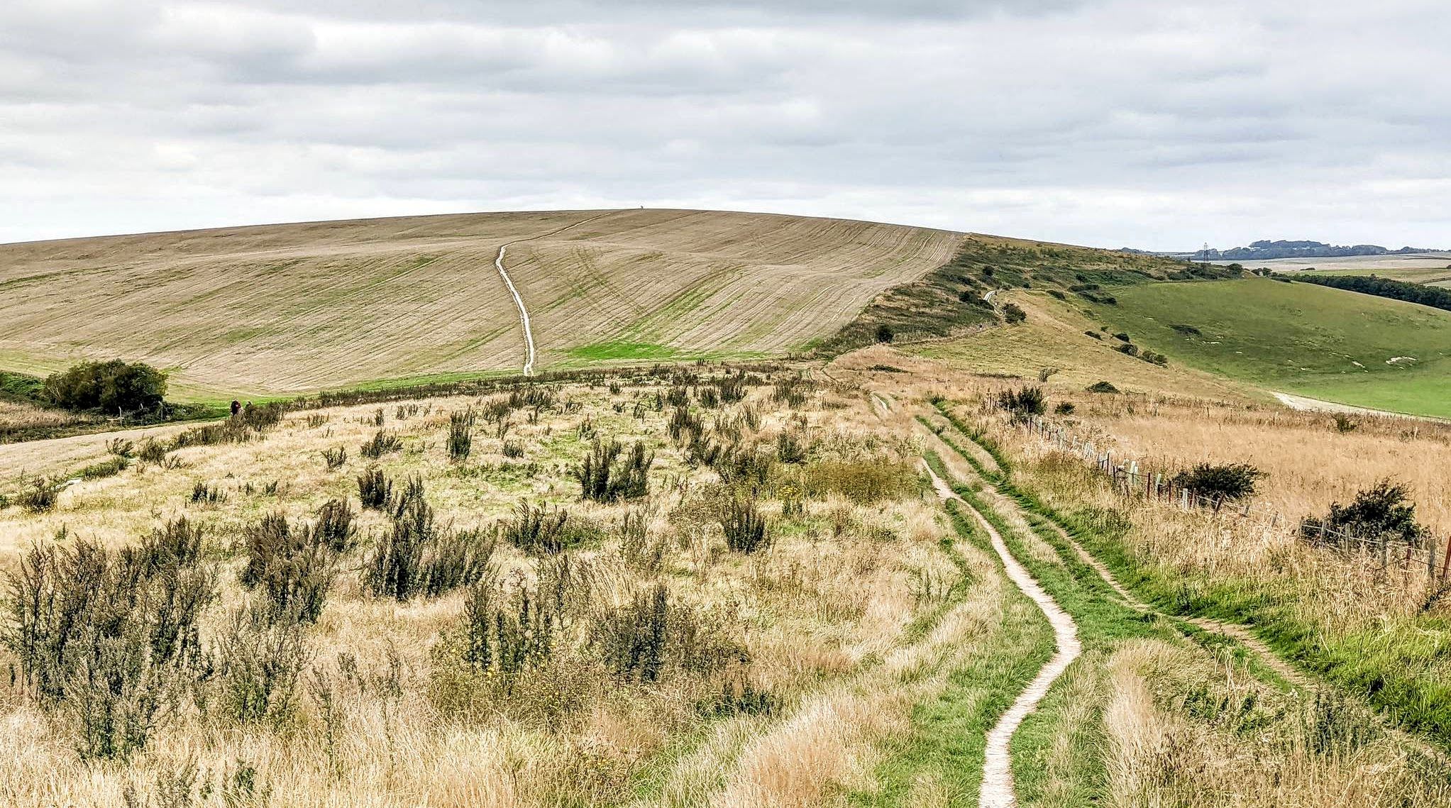
Downs Link and South Downs Way loop from Guildford
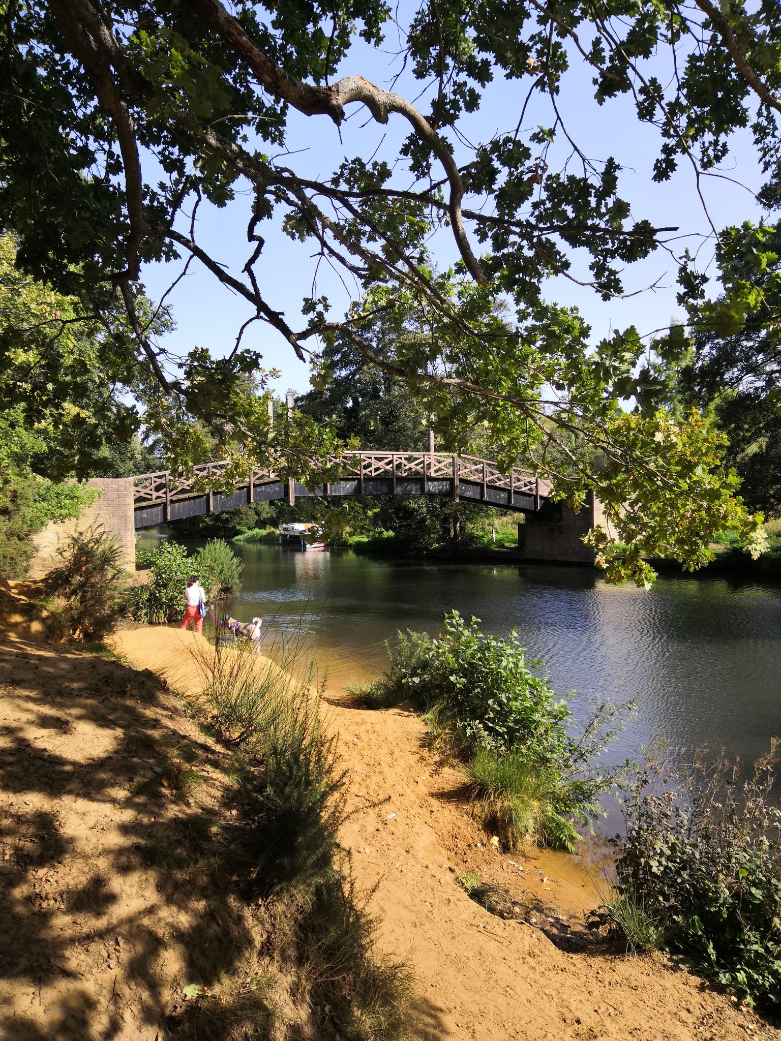
Tillingbourne Trails – a journey into the valley’s industrial heritage
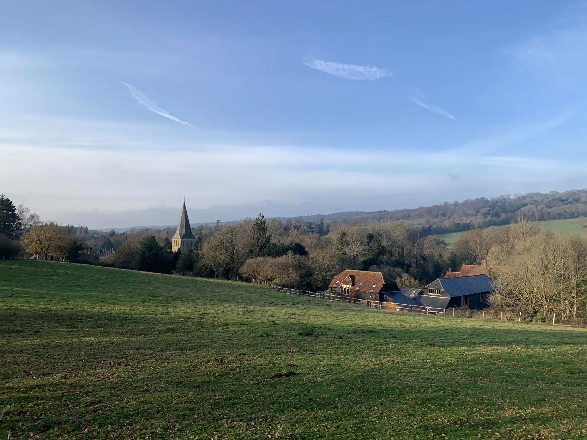
Rail to Ramble routes – gorgeous walks in the Surrey Hills
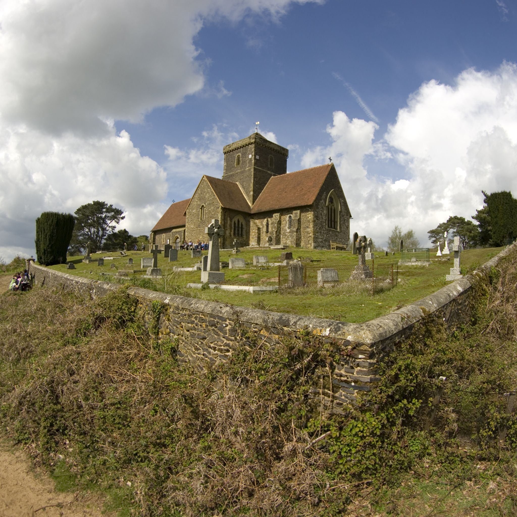
Hiking around Shalford
Road Cycling Routes around Shalford
Running Trails around Shalford
Cycling around Shalford

Gravel biking around Shalford
Other adventures around Shalford


Tips from the Community

Branching off the main trails, the quiet country lanes surrounding the Devil’s Punch Bowl offer tranquil, traffic-free routes. These scenic paths wind past historic farmsteads and sunken valleys, providing a deeply peaceful local countryside escape.
0
0
Gibbet Hill is the second-highest point in Surrey, offering an extraordinary viewpoint that stands out within the Devil’s Punch Bowl landscape. Standing beside the historic Celtic cross, you look out over a breathtaking panoramic landscape of rolling hills, deep valleys, and open heathland. On crisp, clear days, the scenery opens up dramatically, allowing you to trace the horizon all the way to the iconic skyline of central London, miles to the northeast.
0
0
The old A3 road, which once choked the Devil’s Punch Bowl with traffic, has been transformed into a peaceful, paved walking and cycling trail. Following the 2011 tunnel bypass, nature reclaimed the tarmac, creating a scenic, accessible path that seamlessly connects visitors to the wider Surrey Hills network.
1
0
Looking out from the rim of the Devil’s Punch Bowl, you’re treated to a spectacular vista of a massive, natural hollow carved into the Surrey Hills. The sweeping valley below is alive with a colorful patchwork of purple heather, bright gorse, and thick woods, while sharp eyes might catch the London skyline far in the distance on a clear day.
0
0

A nice spot with a spectacular view of the surroundings.
2
0

amazing scenery once you get to the national trust park. the. the path follows some good downhill and uphill areas where you are also met with a view of London in the far far distance. truly recommend!
0
0


great gravel path. In my opinion an unexperienced cyclist could struggle a bit due to the sandy bits, i.e. my mum. In general super quite and great fund. I did it with a road bike - possible but not as much fun as with a gravel bike. In general, do not go on your road bike.
0
0
Frequently Asked Questions
How many mountain bike trails are available around Shalford?
Shalford and the surrounding Surrey Hills offer a wide selection of mountain biking routes. There are over 200 trails available, catering to various skill levels from easy to difficult.
What types of terrain can I expect on mountain bike trails in Shalford?
The terrain around Shalford is diverse, ranging from challenging ascents and descents in the rolling hills of the Surrey Hills to flatter sections along river valleys like the Tillingbourne Valley, River Wey, and Wey & Arun Canal. You'll encounter dense woodlands, heathlands, and sometimes sandy sections, particularly on trails like the Devil's Punch Bowl.
Are there any easy or beginner-friendly mountain bike trails in Shalford?
Yes, Shalford offers several easy routes suitable for beginners or those looking for a more relaxed ride. An example is the Bramley and Wonersh Station – Wey & Arun Canal at Downs Link loop from Farncombe, which is 26.8 km long and features less elevation, making it a good option for a moderate pace.
Can I find circular mountain bike routes in the Shalford area?
Many mountain bike routes around Shalford are designed as loops, allowing you to start and finish at the same point. For example, the Tilford East Bridge – Stockbridge Pond loop from Farncombe is a moderate 32.8 km circular trail through varied terrain.
What natural features or landmarks can I see while mountain biking near Shalford?
The trails often pass through the scenic Surrey Hills National Landscape, offering views from points like Holmbury Hill and Newlands Corner. You might also encounter the dramatic landscape of the Devil's Punch Bowl. Notable attractions include Holmbury Hill Viewpoint, St Martha's Church, and the picturesque Silent Pool.
Are there any trails that offer significant viewpoints or scenic vistas?
Absolutely. Many routes incorporate viewpoints from prominent hills. For instance, the Devil's Punch Bowl Trail – View from Gibbet Hill loop from Farncombe offers stunning scenery and views, including those from Gibbet Hill. Holmbury Hill, the fourth highest point in Surrey, also provides spellbinding views over the Surrey Hills.
What do other mountain bikers say about the trails in Shalford?
The mountain bike trails around Shalford are highly regarded by the komoot community, with an average rating of 4.5 stars from over 500 reviews. Users frequently praise the varied terrain, the challenging climbs, and the beautiful natural surroundings of the Surrey Hills.
Are there any mountain bike trails that pass by lakes or water features?
Yes, some routes venture near water features. For example, the Tilford East Bridge – Stockbridge Pond loop from Farncombe passes by Stockbridge Pond. You can also find highlights like Silent Pool and Loseley House and Lake in the wider area.
What is the typical length and duration of mountain bike trails in Shalford?
Trail lengths vary significantly. Easy routes can be around 25-30 km, taking less than 2 hours. Moderate trails often range from 30-40 km and can take 2.5 to 3 hours. More difficult routes, especially those with significant elevation, can extend beyond 40 km and require 3.5 to 4 hours or more to complete.
Are there options for advanced mountain bikers seeking a challenge?
Yes, the Surrey Hills region is known for its challenging rides. Many routes feature significant elevation gains and technical sections. There are 50 difficult routes available, offering plenty of opportunities for experienced riders to test their skills and endurance.
What is the best time of year to go mountain biking in Shalford?
The Surrey Hills offer great riding year-round, but spring and autumn are particularly pleasant with milder temperatures and beautiful foliage. Summer can be excellent, though trails might be busier. Winter riding is possible, but some trails can become muddy, especially after heavy rain, so checking local conditions is advisable.
Most popular routes around Shalford
Most popular attractions around Shalford

Get inspired with the komoot mobile app


Explore more
Browse the best MTB trails in other regions.
