The best mountain hikes around Breitenstein
4.8
(140)
1,797
hikers
49
hikes
Mountaineering routes around Breitenstein are found in two distinct regions: the Bavarian Prealps in Germany and Lower Austria. The German Breitenstein is a 1,622-meter mountain offering panoramic views of the Alps, including the Wendelstein and Zugspitze, and features like the Breitensteinfensterl natural stone arch. In Lower Austria, the Breitenstein area is part of the scenic Semmering region, characterized by diverse landscapes, historical hunting paths, and attractions such as the Gaißkirchl. Both locations present varied terrain, from forest paths and steep…
Last updated: October 5, 2026
4.7
(3)
44
hikers
15.5km
06:56
1,070m
1,070m
Hard mountaineering route. Very good fitness required. Mostly accessible paths. Sure-footedness required.
5.0
(1)
28
hikers
17.3km
08:10
1,440m
1,440m
Hard mountaineering route. Very good fitness required. Sure-footedness, sturdy shoes and alpine experience required.

17
hikers
16.8km
06:34
1,020m
1,020m
Hard mountaineering route. Very good fitness required. Mostly accessible paths. Sure-footedness required.
4.0
(3)
14
hikers
9.57km
04:10
730m
730m
Hard mountaineering route. Good fitness required. Sure-footedness, sturdy shoes and alpine experience required.
15
hikers
Hard mountaineering route. Very good fitness required. Mostly accessible paths. Sure-footedness required.
Get access to more routes and recommendations from other explorers.
Already have an account?
Our route recommendations are based on thousands of hikes, rides, and runs completed by other people on komoot.
Start today with a free account
Your next adventure awaits.
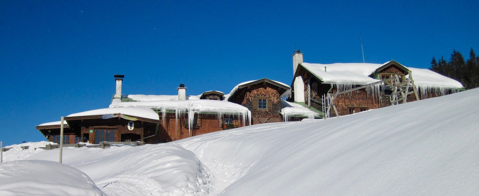
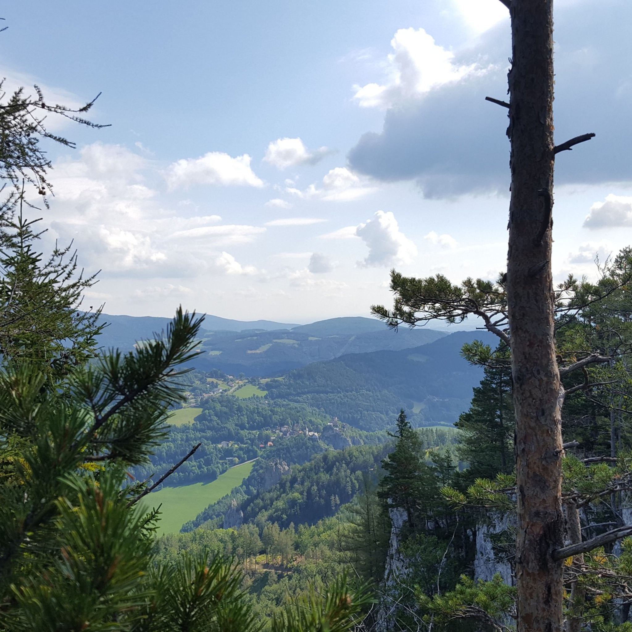
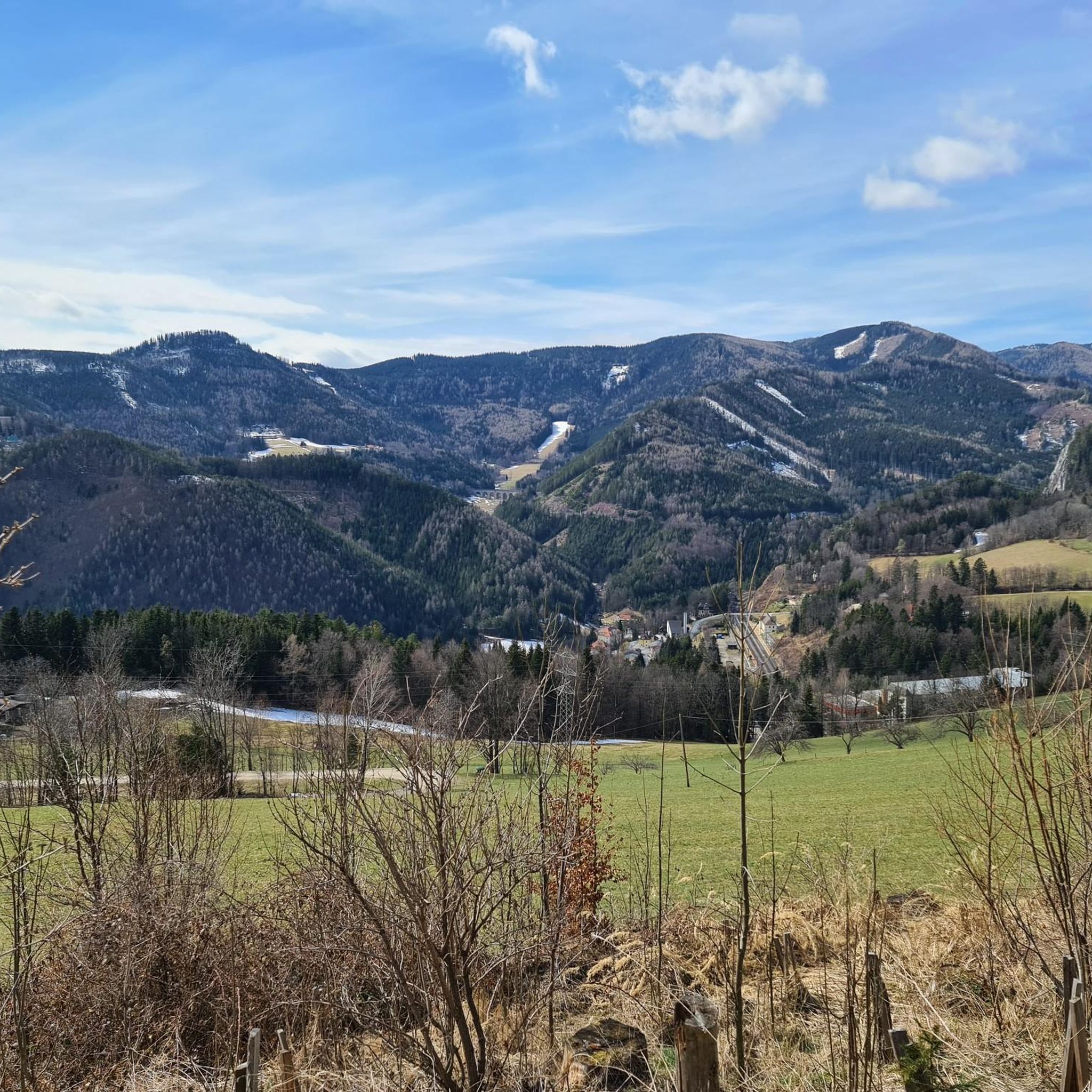
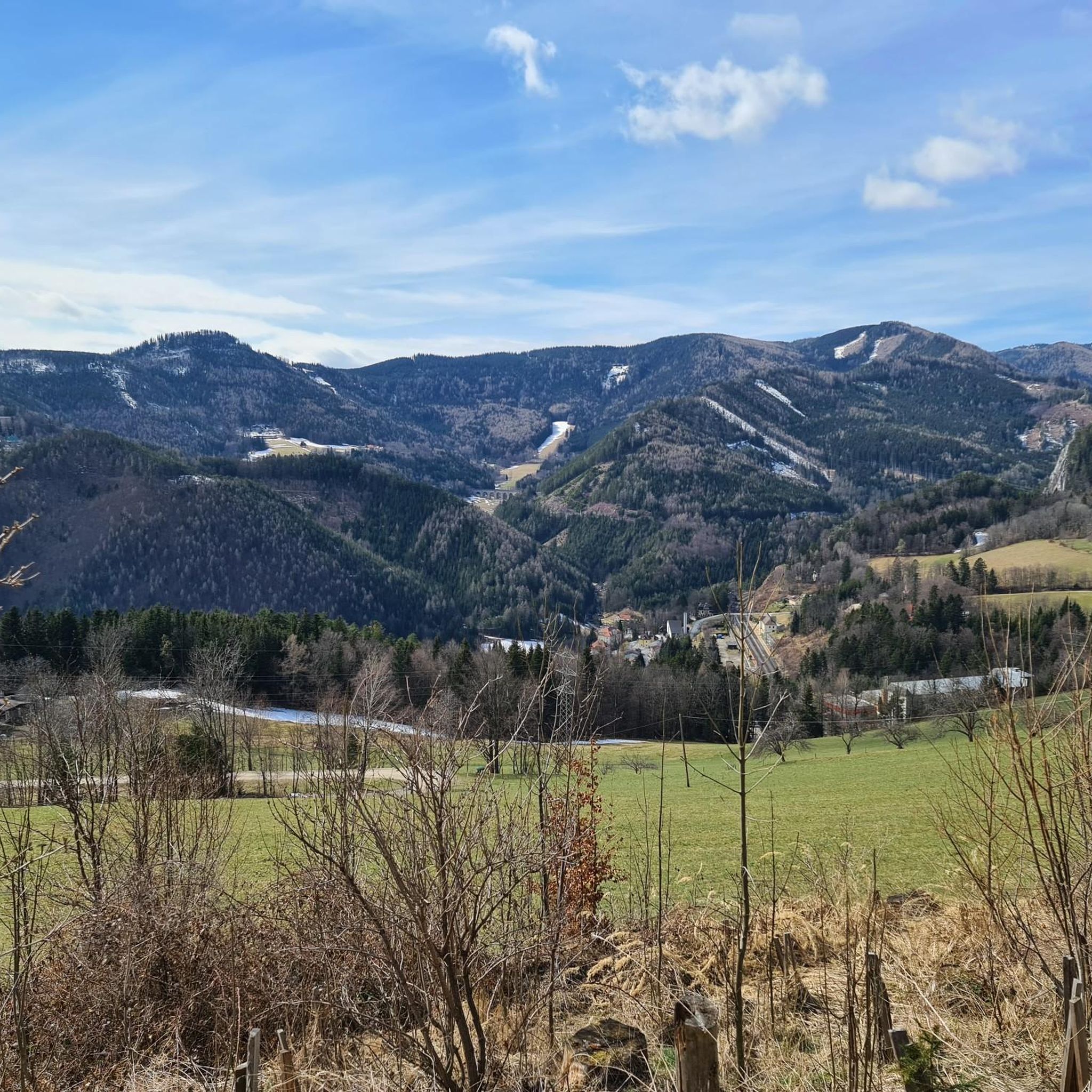
Other adventures around Breitenstein

Tips from the Community

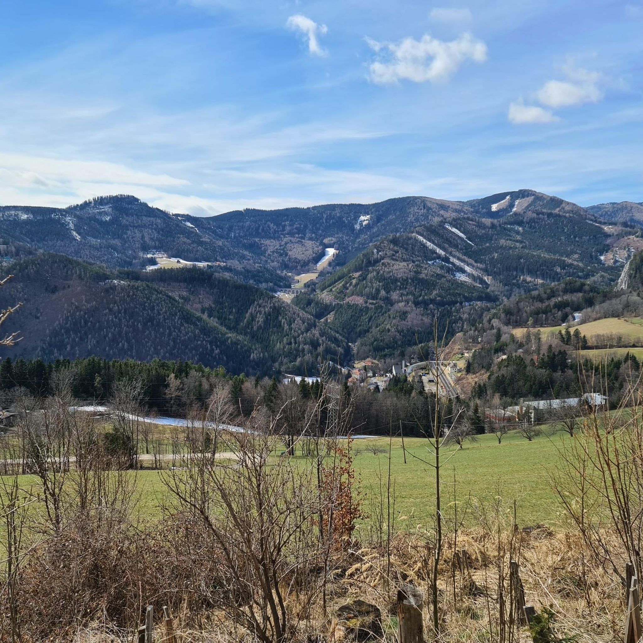
From here, a wide view opens up over the surrounding mountain world of the Schneeberg area. The wooded heights, steep flanks, and distinctive peaks create an impressive panorama. A beautiful place to stop for a moment and enjoy the view.
3
0
The Neue Seehütte is located at 1,643 meters on the Rax plateau and is a popular hut of the Austrian Tourist Club. Surrounded by extensive alpine pastures, it serves as an important base for hikes and via ferratas around Preinerwand and Seehüttenkamm. A cozy stop amidst the open high-country landscape, combining nature experience and alpine tradition.
5
0
The Raxkirchlein is a small chapel on the Rax plateau and is considered the highest church in Lower Austria. Simple and exposed, it blends harmoniously into the vast alpine landscape and is a special place of tranquility. From here, a beautiful view also opens up over the plateau and the surrounding peaks of the Rax.
5
0
The Heukuppe, at 2,007 meters, is the highest peak in the Rax and marks the easternmost two-thousand-meter peak in the Alps. From the expansive plateau, an unassuming ascent leads to the highest point, rewarding with an impressive panoramic view over the Vienna Alps and far into the Lower Austrian Prealps. Despite the gentle summit shape, you can feel the alpine vastness and the special location on the edge of the Eastern Alps up here.
5
0

A highlight you have to do once
3
0
Beautiful church, worth seeing
3
0

Very beautiful on the plateau of Karl Ludwig Haus.
1
0

Frequently Asked Questions
How many mountaineering routes are there in Breitenstein?
The Breitenstein region, encompassing both the Bavarian Prealps in Germany and Lower Austria, offers a diverse network of over 50 mountaineering routes. These range from moderate paths to challenging ascents, catering to various skill levels.
What are the difficulty levels of mountaineering routes in Breitenstein?
Breitenstein features a wide spectrum of difficulty levels. While there are a few easier routes, the majority are classified as moderate or difficult. Specifically, you'll find around 18 moderate routes and over 30 challenging options, many involving significant elevation gain and alpine terrain.
Are there any circular mountaineering routes in Breitenstein?
Yes, Breitenstein offers several excellent circular routes. For instance, the challenging Naturefriends House Knofeleben – Krummbachstein loop from Payerbach-Reichenau is a popular 17.4 km option. Another highly-rated circular tour is the Krummbachstein Summit – Naturfreundehaus Knofeleben loop from Payerbach-Reichenau, covering 15.7 km with rewarding summit views.
What kind of views and natural features can I expect on Breitenstein's mountaineering routes?
Mountaineering in Breitenstein, particularly the Bavarian Prealps, is renowned for its magnificent 360-degree panoramic views of the surrounding Alps, including the Wendelstein and even the distant Zugspitze. You might also encounter unique geological features like the breathtaking Breitensteinfensterl natural stone arch on more challenging routes. In Lower Austria, routes often feature scenic beauty, historical hunting paths, and impressive summit views.
Are there any alpine huts or places for refreshments along the trails?
Yes, especially in the Bavarian Prealps, many trails lead past traditional alpine huts such as the Kesselalm and Hubertushütte. These provide excellent opportunities for rest and refreshments during your mountaineering tour. In Lower Austria, routes might pass by places like the Naturfreundehaus Knofeleben, offering similar amenities.
What is the best time of year for mountaineering in Breitenstein?
The warmer months, typically late spring to early autumn, are generally the best time for mountaineering in Breitenstein, offering optimal weather conditions and clear trails. This allows for the best enjoyment of the panoramic views and varied terrain. Winter mountaineering is possible but requires specific gear and experience due to snow and ice conditions.
What are some notable landmarks or attractions near the mountaineering routes?
Around Breitenstein, you can discover several interesting landmarks. Near some routes, you might find the Hirschenkogel Millennium Observation Tower, offering expansive views. Other highlights include various mountain peaks like Krummbachstein and Große Scheibe Summit Cross. Traditional alpine lodges such as the Ottohaus Mountain Lodge also serve as popular points of interest.
What do other mountaineers enjoy most about Breitenstein?
The Breitenstein area is highly rated by the komoot community, with an average score of 4.8 stars from over 130 reviews. Mountaineers often praise the stunning panoramic views from the summits, the diverse terrain that keeps routes interesting, and the presence of traditional alpine huts for well-deserved breaks. The challenging nature of many routes also appeals to experienced hikers.
Are there any less crowded mountaineering routes in Breitenstein?
While some routes, especially those to prominent summits, can be popular, Breitenstein's extensive network allows for finding quieter paths. Exploring routes that delve into the varied terrain away from the most well-known starting points, or opting for tours during off-peak hours, can lead to a more secluded experience. The historical hunting paths in Lower Austria, for example, can offer a unique and less-trafficked adventure.
What kind of gear is recommended for mountaineering in Breitenstein?
Given the varied terrain, which includes forest paths, steep mountain slopes, and sometimes exposed sections with huge rocks, sturdy hiking boots with good ankle support are essential. Depending on the route's difficulty and weather conditions, layers of clothing, rain gear, sufficient water, snacks, and a map or GPS device are highly recommended. For more challenging routes, especially those involving the Breitensteinfensterl, sure-footedness is crucial, and poles can be beneficial.
Are there any family-friendly mountaineering options in Breitenstein?
While many routes are challenging, Breitenstein does offer some options suitable for families, particularly those with older children or those accustomed to hiking. These routes tend to be on the easier side of the spectrum, focusing on forest paths and less exposed terrain. Always check the specific route's difficulty and elevation gain to ensure it matches your family's capabilities.
Where can I find parking for Breitenstein's mountaineering trails?
Parking is generally available at common starting points for mountaineering trails in both the Bavarian Prealps and Lower Austria. For routes in Bavaria, starting points like Fischbachau often have designated parking areas. In Lower Austria, trailheads near towns like Payerbach-Reichenau or Spital am Semmering typically offer parking facilities. It's always advisable to check specific route descriptions for detailed parking information.
Can I reach Breitenstein's mountaineering routes using public transport?
Yes, public transport options are available, particularly for accessing routes in Lower Austria. For example, starting points like Payerbach-Reichenau are often accessible by train, making it convenient to reach trails such as the Preinerwand Cross (1783 m) – Rax Chapel loop from Preiner Gscheid. In Bavaria, while some areas are accessible, public transport might require more planning to reach specific trailheads.
Most popular routes around Breitenstein
Most popular attractions around Breitenstein

Get inspired with the komoot mobile app


Explore more
Browse the best Mountain Hikes & Routes in other regions.
