The best road cycling routes around Burnham-On-Crouch
4.7
(61)
1,670
riders
14
rides
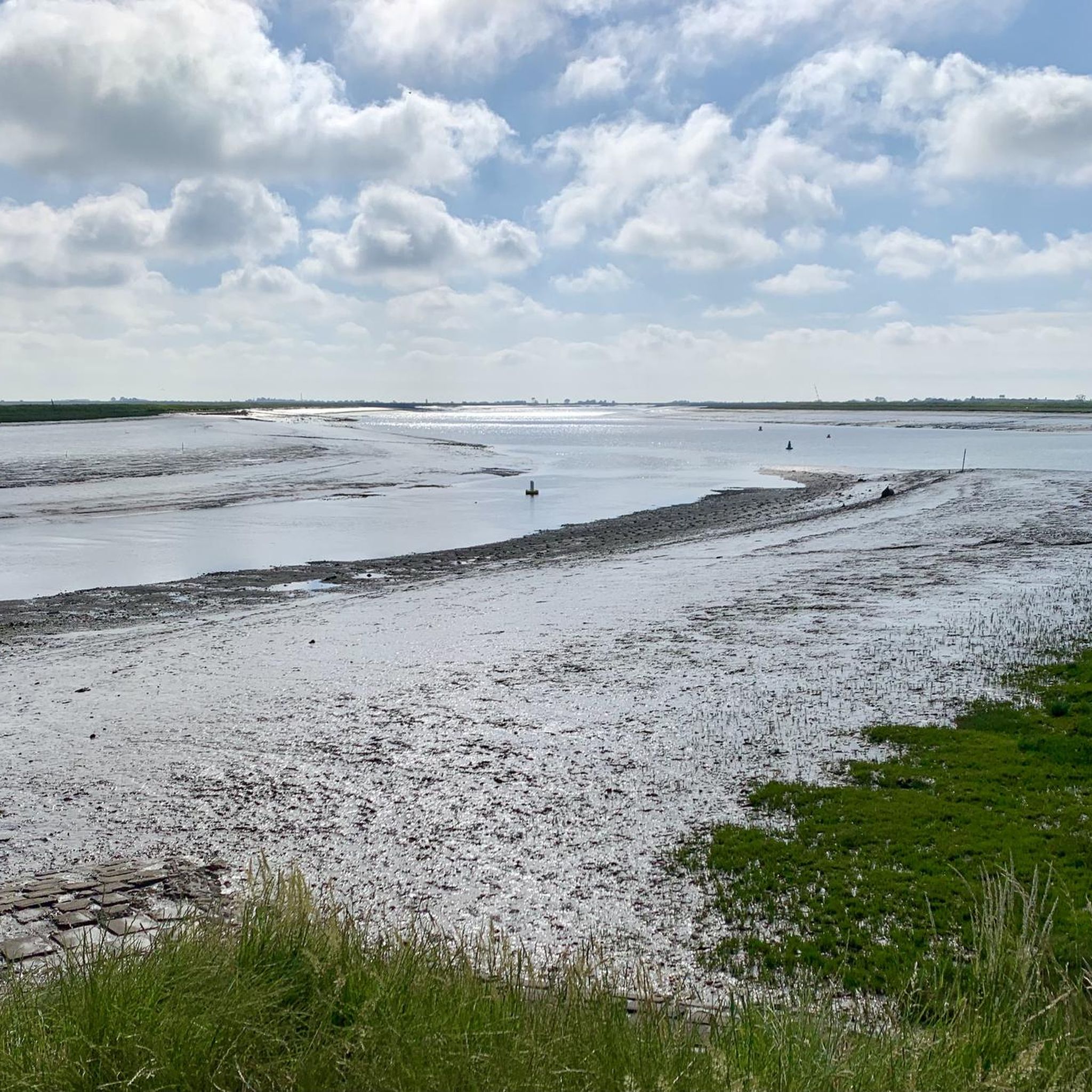
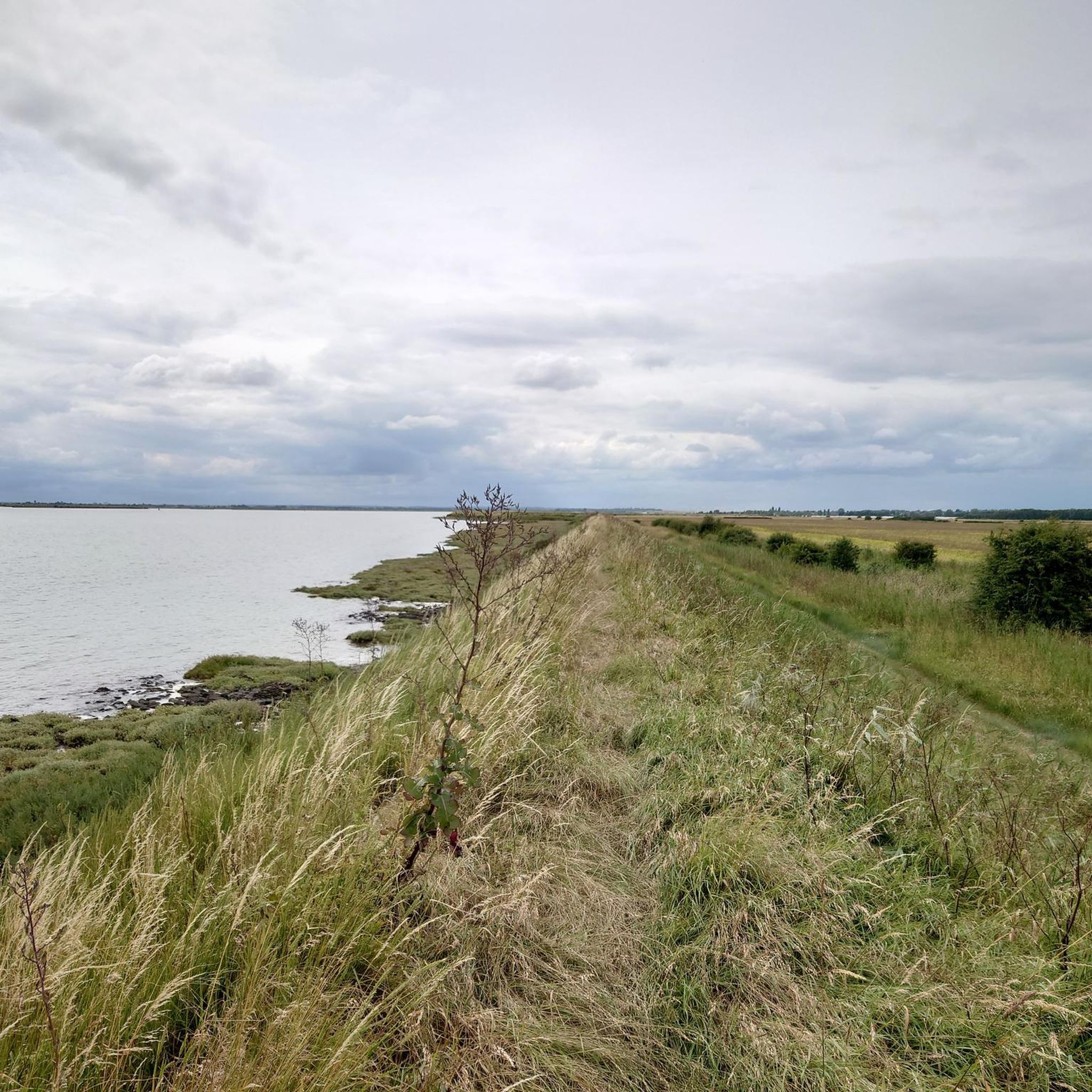
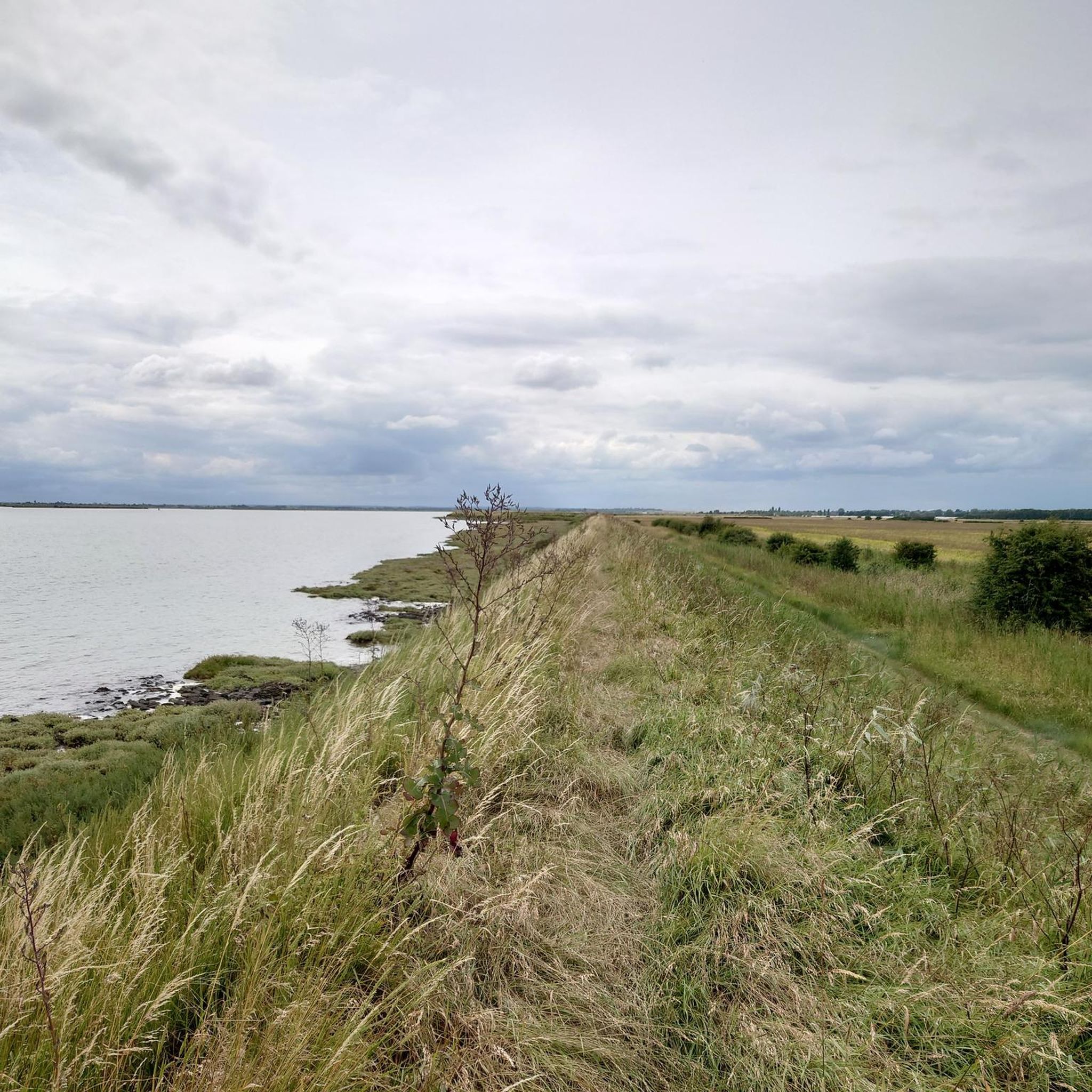
Road cycling routes around Burnham-On-Crouch are characterized by the flat terrain of the Dengie Peninsula, situated between the Rivers Blackwater and Crouch. The region features extensive paved surfaces, making it highly suitable for road cycling across various fitness levels. This area is defined by its estuarial landscapes, including saltmarsh and mudflats, with minimal elevation changes. The open, low-lying environment offers expansive views of the surrounding waterways and "massive skies."
Best road cycling routes around Burnham-On-Crouch
- The most popular road cycling…
Last updated: October 25, 2026
23
riders
Moderate road ride. Good fitness required. Some segments of this route may be unpaved and difficult to ride.
19
riders
32.0km
01:17
110m
110m
Easy road ride. Mostly well-paved surfaces and easy to ride.

19
riders
32.5km
01:18
110m
110m
Easy road ride. Mostly well-paved surfaces and easy to ride.
5.0
(1)
18
riders
35.0km
01:27
140m
140m
Easy road ride. Mostly well-paved surfaces and easy to ride.
4.0
(1)
17
riders
32.6km
01:28
130m
130m
Easy road ride. Mostly well-paved surfaces and easy to ride.
Get access to more routes and recommendations from other explorers.
Already have an account?
Our route recommendations are based on thousands of hikes, rides, and runs completed by other people on komoot.
Start today with a free account
Your next adventure awaits.
Tips from the Community

RV and tent pitches behind pub. Agree about the shower block, new and well-looked after. Also four double rooms available at £75 a night. Pub open every day from noon. Kitchen open for lunch and dinner every day except Monday. Great base for exploring the area.
0
0

Campsite at the back of the pub. Great if your touring/bikepacking. Good shower block
0
0

Give yourself plenty of time to complete the walk. It started getting dark so instead of finishing we diverted and headed home to Bradwell. Not the prettiest or most scenic of routes as its mainly just field after field.
0
0

Huge, elevated views from St Lawrence Hill northwards across the Blackwater estuary from Osea Island towards Tollesbury Marshes. Photos don't do it justice.
0
0
A short but sharp climb rising 25m towards St Lawrence Church with a max gradient of 13% near the top, just before the junction with Southminster Road. It's short enough that you can hit it full gas for a hill climb effort. Decent run-out at the bottom if you want to do a fast descent.
0
0
The parish church in the village of Steeple doesn't have a tower, it has...you guessed it...a steeple.
0
0
Nothing much to write home about but useful if you need somewhere for a break in the middle of the peninsula.
0
0
Pleasant spot overlooking the green in Tillingham but set back away from the main road traffic.
0
0
Frequently Asked Questions
What is the general terrain like for road cycling around Burnham-On-Crouch?
The terrain around Burnham-On-Crouch is predominantly flat, making it highly suitable for road cycling across various fitness levels. The area is part of the low-lying Dengie Peninsula, characterized by minimal elevation changes and extensive paved surfaces, ensuring a smooth ride. You'll experience open landscapes and expansive views of the surrounding waterways.
How many road cycling routes are available in Burnham-On-Crouch?
There are 16 road cycling routes available around Burnham-On-Crouch on komoot. These routes cater to different abilities, with 11 easy and 5 moderate options, ensuring there's a suitable ride for most cyclists.
Are there any easy road cycling routes suitable for beginners or families?
Yes, Burnham-On-Crouch offers 11 easy road cycling routes, perfect for beginners or families looking for a relaxed ride. The flat terrain of the Dengie Peninsula is ideal for less strenuous cycling. An example of an easy route is the Fox & Hounds, Tillingham – Fox & Hounds Pub loop from Burnham-on-Crouch, which covers 19.9 miles (32 km) with minimal elevation.
What kind of natural features can I expect to see while cycling in the region?
The region is rich in natural beauty, defined by its estuarial landscapes. You'll encounter significant saltmarsh and mudflats, which are internationally recognized for their rich wildlife, especially wading birds and waterfowl. Notable features include the River Crouch and its estuary, and views across to Wallasea Island. The area is known for its 'massive skies over a flat landscape,' creating a distinctive backdrop for your rides.
Are there any circular road cycling routes in Burnham-On-Crouch?
Yes, many routes in the area are designed as loops. For instance, the The Prince of Wales Pub – All Saints Church, Purleigh loop from Burnham-on-Crouch is a popular 29.8-mile (48 km) circular route. The broader Dengie Peninsula also features routes like the 'Two Rivers' Way,' which offers both 25-mile (40 km) and 12-mile (19 km) circular options, exploring the area between the Rivers Blackwater and Crouch.
What are some interesting landmarks or attractions along the cycling routes?
While cycling, you can pass by or visit several interesting spots. The The Prince of Wales Pub – All Saints Church, Purleigh loop from Burnham-on-Crouch, for example, starts near The Prince of Wales Pub. Other routes might take you near the historic waterfront of Burnham-On-Crouch, known for its maritime heritage, or towards areas like Bradwell Waterside Marina, as seen on the Fox & Hounds Pub – Bradwell Waterside Marina loop from Burnham-on-Crouch route.
What do other road cyclists enjoy most about cycling in Burnham-On-Crouch?
The road cycling routes in Burnham-On-Crouch are highly rated by the komoot community, with an average score of 4.8 stars from over 6 reviews. Cyclists often praise the flat, open landscapes, the estuarial views, and the quiet country roads that provide a peaceful and enjoyable riding experience.
Are there any routes that offer views of the Blackwater Estuary?
Yes, you can find routes that provide scenic views of the Blackwater Estuary. For instance, the Fox & Hounds Pub – View of Blackwater Estuary loop from Burnham-on-Crouch is an easy 32.5-mile (32.5 km) route specifically designed to offer these picturesque views.
Can I find cafes or pubs along the road cycling routes?
Yes, several routes either start or pass by local establishments where you can stop for refreshments. For example, the Fox & Hounds, Tillingham – Fox & Hounds Pub loop from Burnham-on-Crouch begins and ends near the Fox & Hounds Pub. Burnham-On-Crouch itself has a historic waterfront with pubs, offering good options for a break.
What is the best time of year to go road cycling in Burnham-On-Crouch?
The flat terrain makes road cycling enjoyable for much of the year. However, the spring and summer months generally offer the most pleasant weather conditions for exploring the open landscapes and estuaries. During these seasons, you can also take advantage of the ferry service to Wallasea Island Wild Coast Project from Burnham Yacht Harbour.
Are there any routes that explore the Dengie Peninsula more extensively?
Yes, many of the routes in the area traverse the Dengie Peninsula. The 'Two Rivers' Way' is a well-known route that specifically explores this area between the Rivers Blackwater and Crouch, offering scenic views and passing points of interest like Mangapps Railway Museum and the Saxon church of St. Peter's. Routes around Southminster and Steeple also delve into the peninsula's landscape.
Where can I find more information about cycling in the wider Maldon District?
For additional information about cycling opportunities and resources in the broader Maldon District, which includes Burnham-On-Crouch, you can visit the official tourism website: visitmaldondistrict.co.uk/by-bicycle/.
Most popular routes around Burnham-On-Crouch
Most popular attractions around Burnham-On-Crouch

Get inspired with the komoot mobile app


Explore more
Browse the best Road cycling routes in other regions.
