The best running trails around Dunkelsteinerwald
4.5
(178)
2,881
runners
227
runs
Jogging around Dunkelsteinerwald is an excellent way to explore this hilly region, characterized by extensive forests, fertile agricultural land, and varied terrain. Located south of the Danube in Lower Austria, the area features dense beech and oak forests, offering soft, moss-covered paths ideal for running. Elevations reach up to 700 meters, providing diverse challenges and panoramic views across the Danube valley and the Wachau region.
Best jogging routes around Dunkelsteinerwald
- The most popular jogging route is Melk Power Plant –…
Last updated: October 5, 2026
3.0
(1)
18
runners
Hard run. Very good fitness required. Mostly paved surfaces. Suitable for all skill levels.
9
runners
6.74km
00:47
150m
150m
Moderate run. Good fitness required. Mostly paved surfaces. Suitable for all skill levels.

9
runners
Moderate run. Good fitness required. Mostly paved surfaces. Suitable for all skill levels.
8
runners
6.65km
00:41
20m
20m
Moderate run. Good fitness required. Mostly paved surfaces. Suitable for all skill levels.
9
runners
10.3km
01:07
30m
30m
Moderate run. Good fitness required. Mostly paved surfaces. Suitable for all skill levels.
Get access to more routes and recommendations from other explorers.
Already have an account?
Our route recommendations are based on thousands of hikes, rides, and runs completed by other people on komoot.
Start today with a free account
Your next adventure awaits.

Tips from the Community

The Wachauarena Melk is an open-air stage in Rollfährestraße in Melk, which is primarily known for the annual summer games. It offers a direct view of the baroque Melk Abbey and presents the region's cultural program.
0
0

Great trail along the Pielach riverbank
0
0

The bridge over the Danube near Emmersdorf an der Donau connects the town of Emmersdorf on the north bank with Melk on the south bank and is an important section for cyclists along the Danube Cycle Path. The bridge is part of the main road and features a separate, well-secured pedestrian and cycle path, allowing for safe crossing of the Danube. From the bridge, there is an impressive view of the Danube river landscape – particularly popular with cyclists traveling between the Wachau and the Nibelungengau regions. The route is well signposted in both directions, towards Klein-Pöchlarn/Ybbs and Spitz/Krems. Thanks to its direct connection to the Danube Cycle Path, the bridge is a key crossing point between the northern and southern sections of the Wachau and facilitates crossing to the other side of the river on a scenic stretch of the route.
3
0

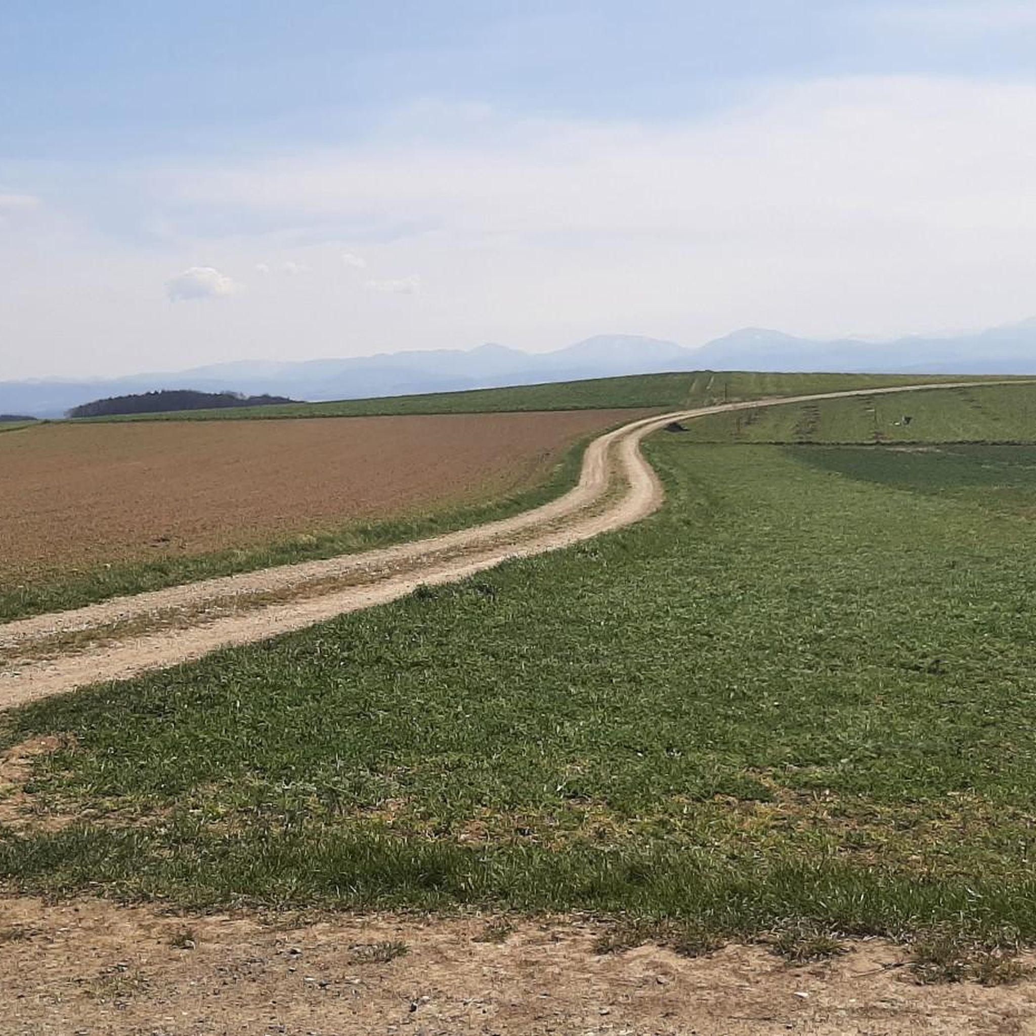
Great vantage point on the Hohenwarther Höhe with a view of the Alps.
12
0

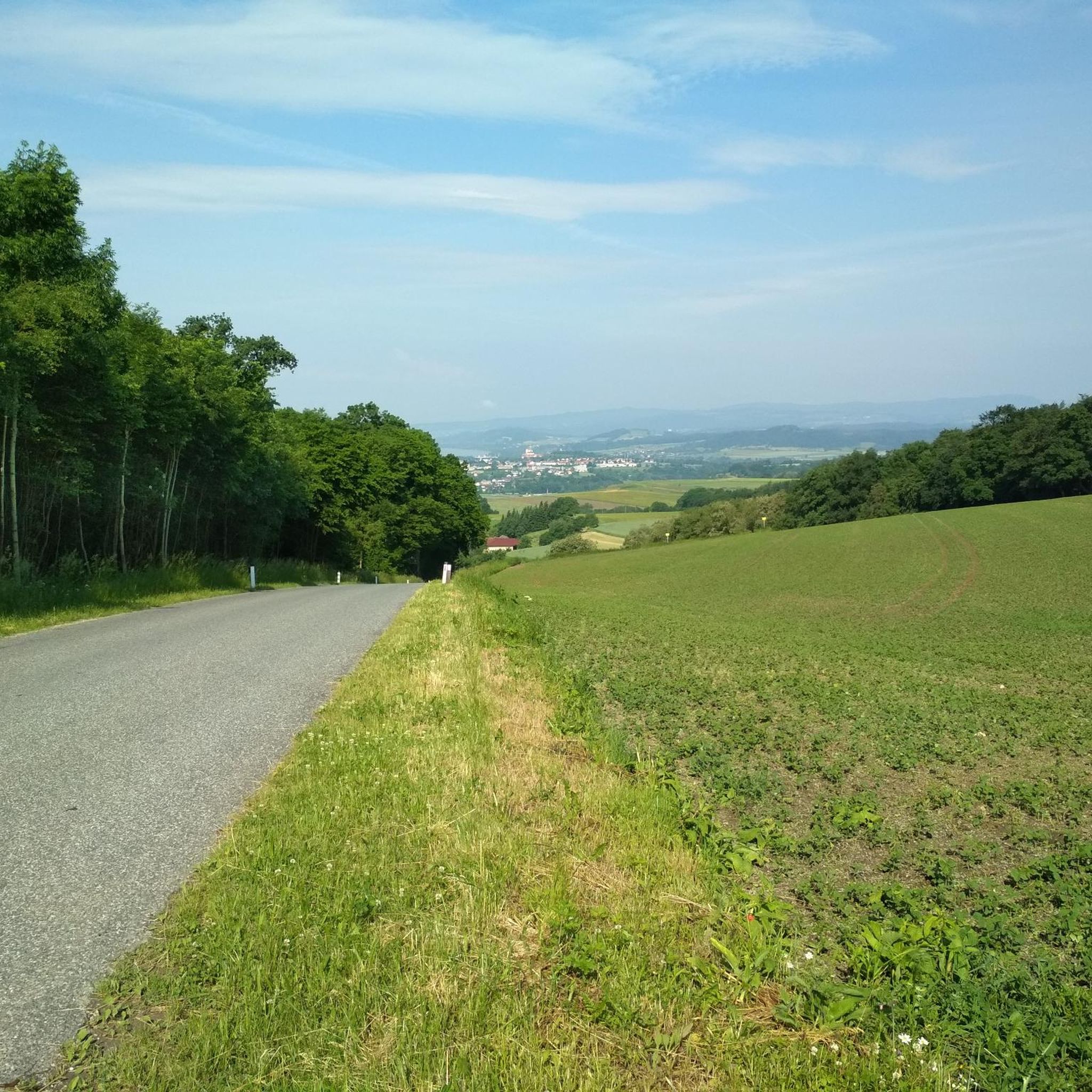
From the bridge you have a good view of Melk Abbey.
0
0

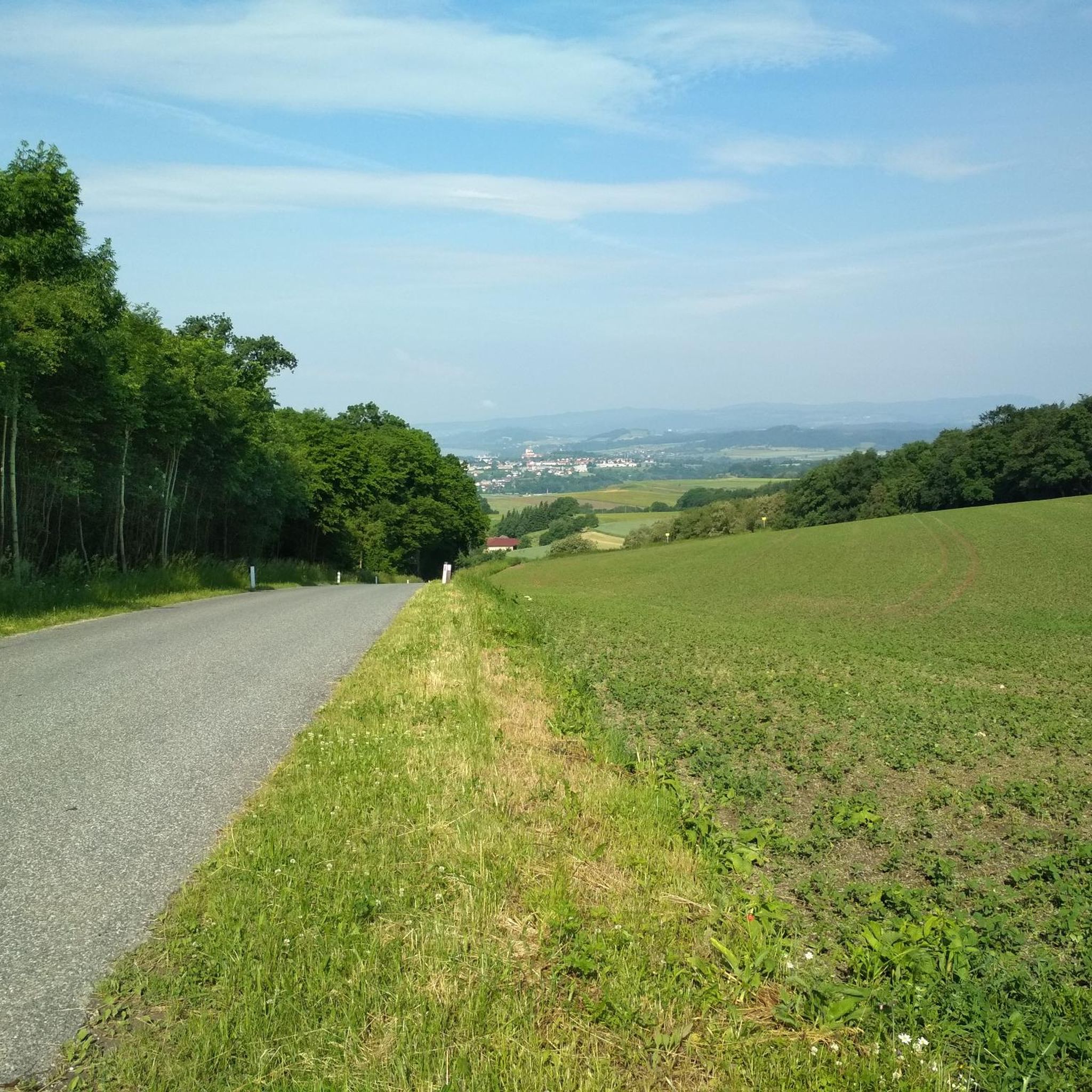
There is a bench here to rest on with a wonderful panorama 👍.
3
0

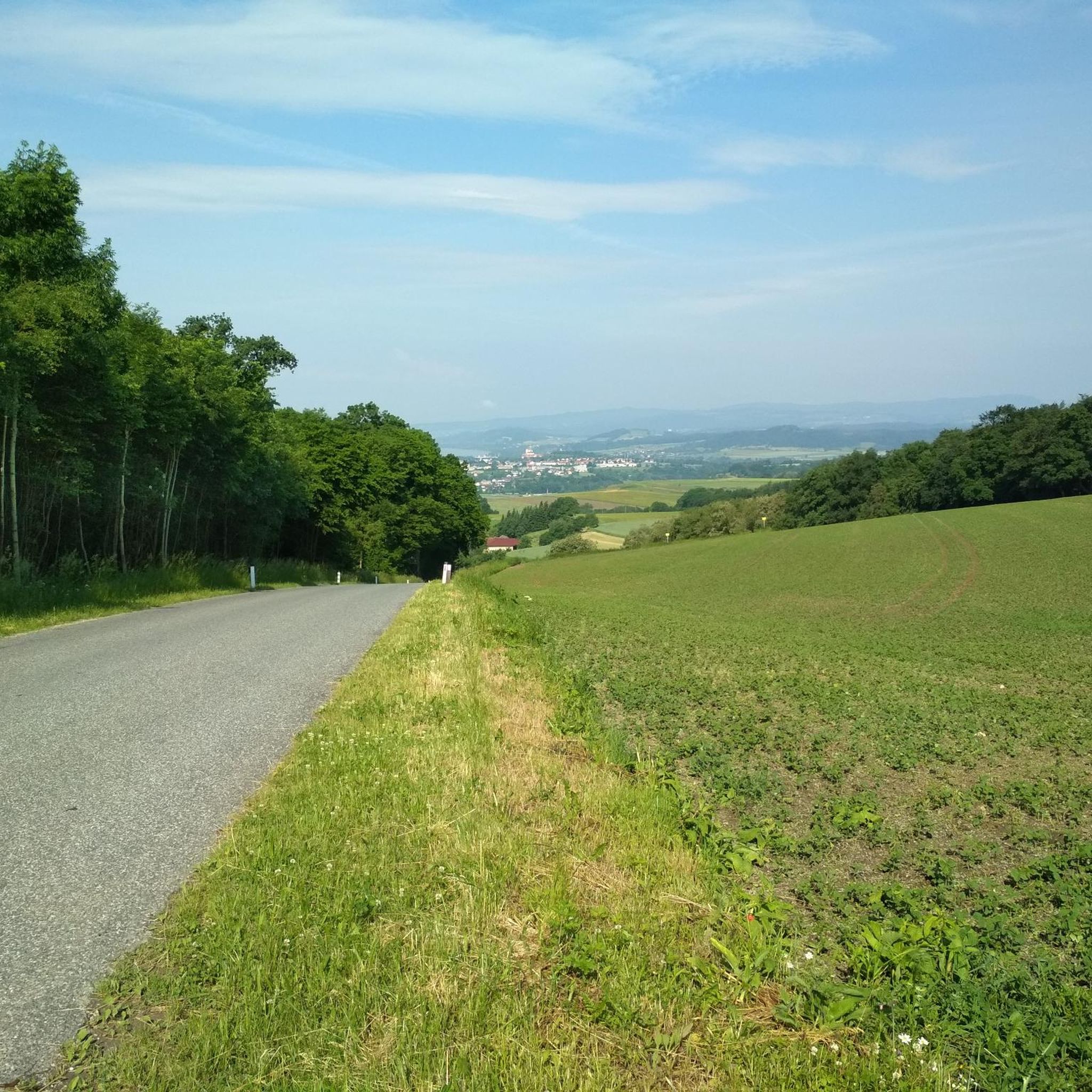
Beautiful single trail along the Pielach.
0
0

Frequently Asked Questions
How many running routes are available in Dunkelsteinerwald?
The Dunkelsteinerwald region offers a vast network of trails for runners, with over 250 routes available on komoot. These range from easy loops to challenging runs with significant elevation gain, catering to various fitness levels.
What kind of terrain can I expect on the jogging trails in Dunkelsteinerwald?
You'll find a diverse mix of terrain. The region is characterized by dense, quiet forests, primarily composed of ancient beech and oak trees, offering soft, moss-covered paths. The landscape is distinctly hilly, with elevations reaching up to 700 meters, providing varied challenges. Many trails follow old Roman roads, field paths, and romantic footpaths through forests, orchards, and past unique rock formations.
Are there family-friendly running routes in Dunkelsteinerwald?
Yes, Dunkelsteinerwald has several routes suitable for families. While specific 'family-friendly' routes aren't explicitly tagged, you can find 16 easy routes that are generally shorter and have less elevation, making them ideal for a relaxed run with children. Look for routes with lower difficulty ratings on komoot.
Can I bring my dog on the running trails in Dunkelsteinerwald?
The Dunkelsteinerwald is generally very welcoming to dogs, with its extensive forests and natural paths. While specific leash laws can vary, it's always recommended to keep your dog on a leash, especially in nature reserves or near wildlife. Many trails offer access to natural water sources, but it's wise to carry water for your pet, particularly on longer runs.
Are there any circular running routes in the region?
Yes, many of the running routes in Dunkelsteinerwald are designed as circular loops, allowing you to start and finish at the same point. For example, the Hohenwarther Höhe – View of the Valley loop from Gerolding is a moderate 4.1-mile (6.6 km) circular path featuring hilly sections and panoramic vistas.
What are some easy running routes for beginners in Dunkelsteinerwald?
For beginners or those seeking an easier run, there are 16 easy routes available. A good option is the Running loop from Loosdorf, a moderate 4.1-mile (6.6 km) trail with minimal elevation gain, perfect for getting started.
Which running routes offer the best viewpoints or attractions?
Many routes in Dunkelsteinerwald provide stunning views and pass by historical sites. The region offers grand panoramic views across the Danube valley and the UNESCO World Heritage Wachau region. You might encounter medieval castle ruins like Dürnstein Castle Ruins or historic churches. The Hohenwarther Höhe – View of the Valley loop from Gerolding is known for its panoramic vistas.
What is the best time of year to go jogging in Dunkelsteinerwald?
Dunkelsteinerwald is beautiful year-round. From May to mid-July, the region is adorned with blooming wild roses, and in autumn, these give way to vitamin C-rich rosehips, adding to the natural beauty. The dense forests provide shade in summer, while the crisp air of spring and autumn makes for invigorating runs. Winter offers a unique, quiet experience, though some paths might be slippery.
Are there options for parking or public transport near the running trails?
While specific parking details vary by trailhead, many popular starting points for trails in Dunkelsteinerwald offer parking facilities. For public transport, the region's proximity to the Danube valley means some areas are accessible via bus routes connecting to larger towns. It's advisable to check local transport schedules for specific trailheads.
Are there places to stop for refreshments or accommodation near the running routes?
Yes, the region is dotted with charming villages and towns where you can find cafes, pubs, and accommodation. You might also encounter traditional huts like Fessl Hut or Zornberg Hut, which can be perfect for a post-run refreshment or a short break.
What makes Dunkelsteinerwald a unique destination for running?
Dunkelsteinerwald stands out for its combination of untouched nature, clean air, and a charming hilly landscape. Its extensive network of trails, often following ancient paths through mystical forests and past striking rock formations, provides a constantly changing and engaging running experience. The region's rich history, with medieval castles and Roman heritage, also adds a unique cultural dimension to your run.
What do other runners enjoy most about jogging in Dunkelsteinerwald?
The running routes in Dunkelsteinerwald are highly rated by the komoot community, with an average score of 4.4 stars from over 140 reviews. Runners frequently praise the varied terrain, the stunning panoramic views across the Danube valley, and the peaceful, dense forests that offer a refreshing escape. The combination of natural beauty and well-maintained paths makes it a favorite among local and visiting runners.
Are there longer running routes available, for example, over 10km?
Absolutely. Dunkelsteinerwald offers numerous longer routes for those seeking a greater challenge. For instance, the Melk Power Plant – Emmersdorf loop from Schloss Albrechtsberg is a difficult 11.3-mile (18.2 km) trail with varied terrain and views of the Danube. Another option is the Albrechtsberg Castle – Pielach River loop from Katastralgemeinde Pielach, a moderate 6.8-mile (10.9 km) trail.
Most popular routes around Dunkelsteinerwald
Most popular attractions around Dunkelsteinerwald

Get inspired with the komoot mobile app


Explore more
Browse the best Running Trails & Routes in other regions.
