The best running trails around Clayhanger
4.3
(8)
1,195
runners
80
runs
Jogging routes around Clayhanger are characterized by diverse natural landscapes and dedicated pathways. The region features significant wetland habitats, including open water, swamps, and marshy grasslands, particularly within the Clayhanger Site of Special Scientific Interest (SSSI). Clayhanger Common offers grass walking tracks, providing a softer surface for running. Additionally, a repurposed former railway line provides flat, accessible paths suitable for maintaining a steady pace.
Best jogging routes around Clayhanger
- The most popular jogging route is Horses Near Uplowman Church –…
Last updated: June 26, 2026
37
runners
16.4km
01:43
140m
140m
Hard run. Very good fitness required. Mostly paved surfaces. Suitable for all skill levels.
4.0
(1)
19
runners
25.8km
03:04
430m
430m
Hard run. Very good fitness required. Mostly paved surfaces. Suitable for all skill levels.

Sign up for free
5.0
(1)
7
runners
7.27km
00:49
180m
180m
Moderate run. Good fitness required. Mostly paved surfaces. Suitable for all skill levels.
6
runners
6.97km
00:46
110m
110m
Moderate run. Good fitness required. Mostly paved surfaces. Suitable for all skill levels.
4
runners
6.31km
00:40
90m
90m
Moderate run. Good fitness required. Mostly paved surfaces. Suitable for all skill levels.
Get access to more routes and recommendations from other explorers.
Sign up for free
Already have an account?
Our route recommendations are based on thousands of hikes, rides, and runs completed by other people on komoot.
Start today with a free account
Your next adventure awaits.
Login or Signup
Tips from the Community


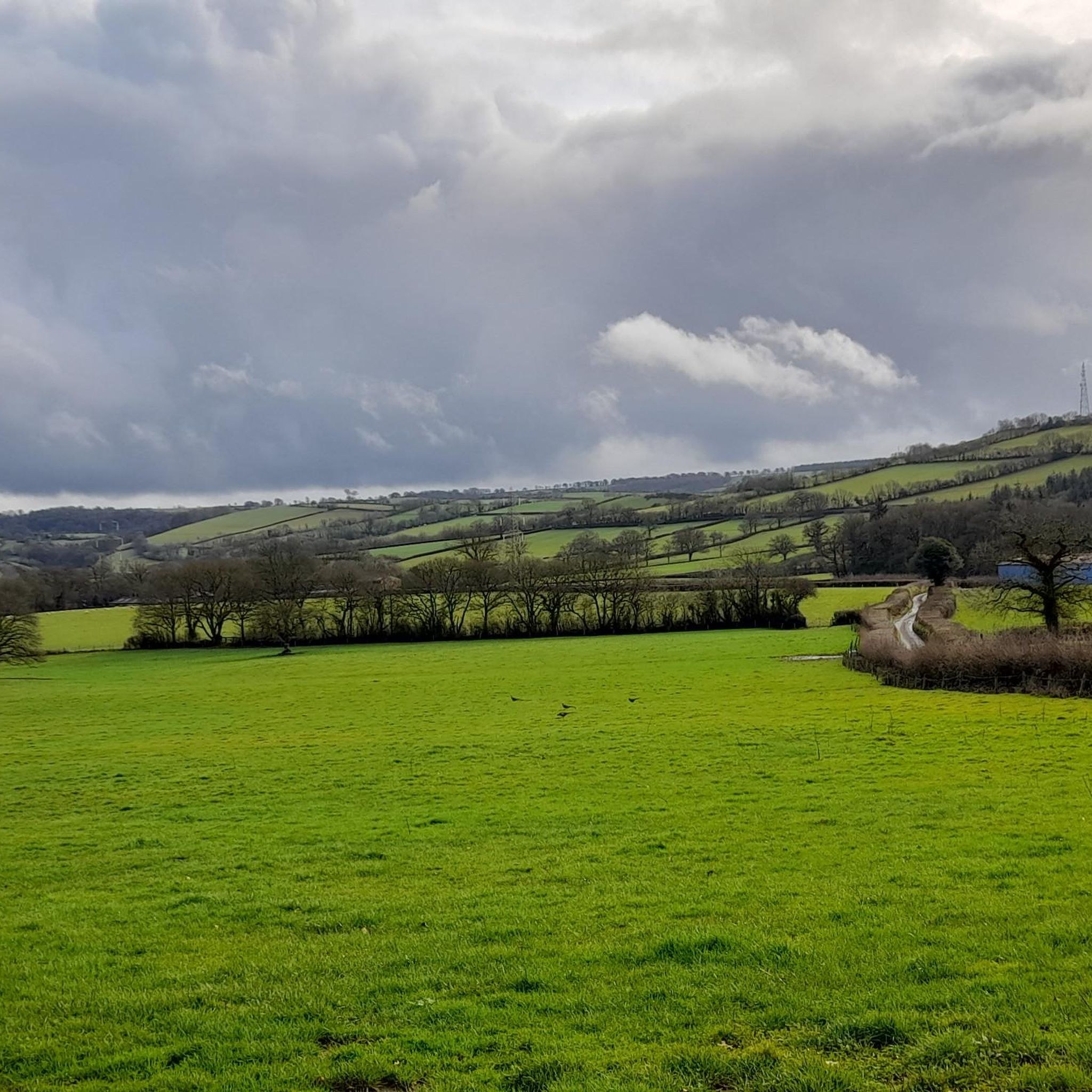
A lovely ford with a beautiful bridge. a warm day. very nice to paddle the feet
0
0
came across this gorgeous bridge with the ford in front of it. a lovely place to stop to paddle your feet
0
0

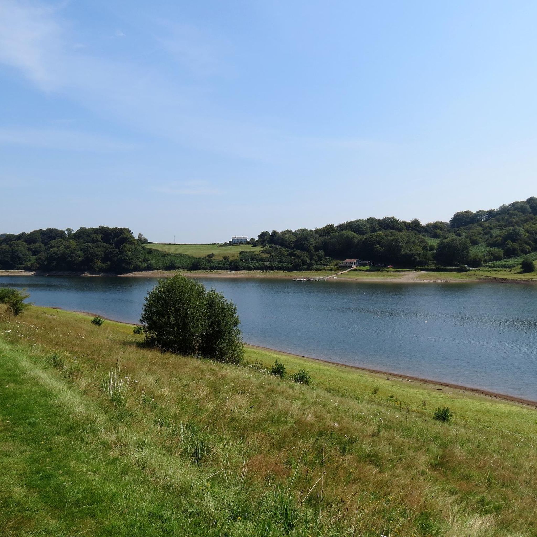
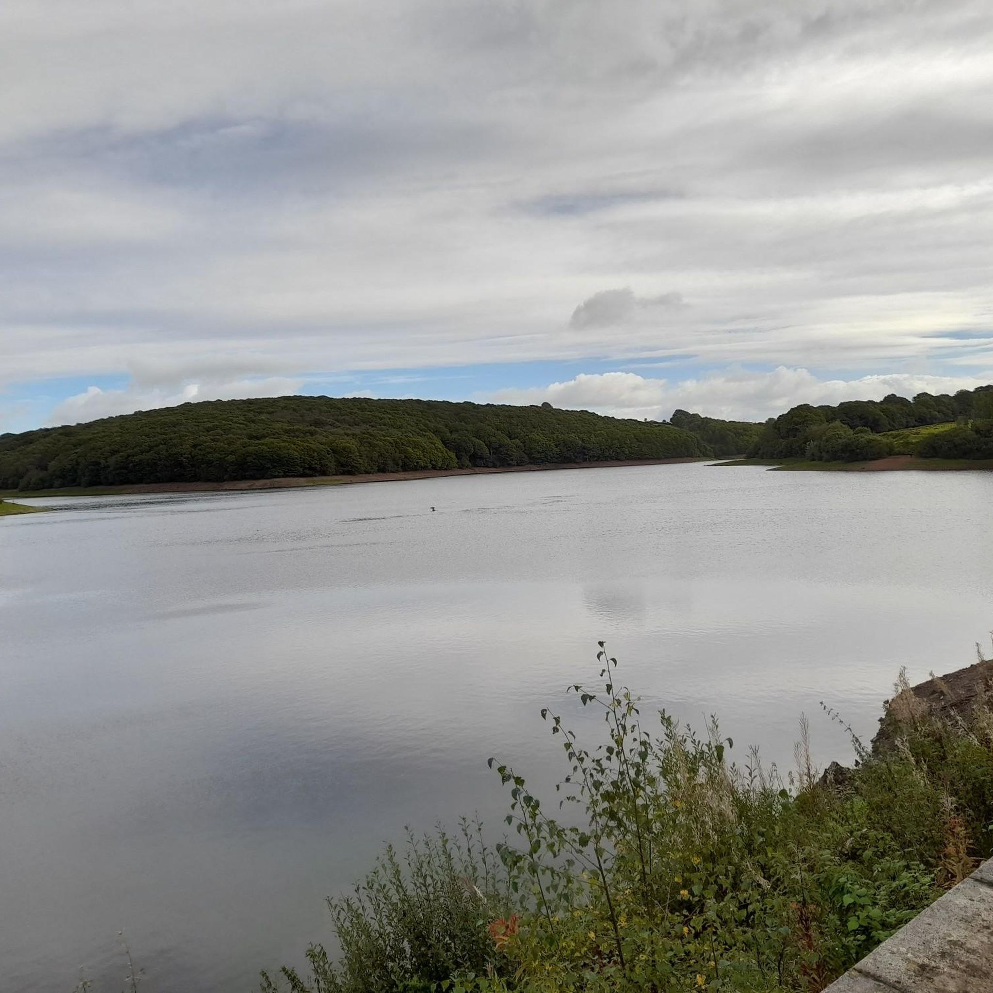
There is a great trail all around the lake, but the eastern shore is so much quieter and the trails are rougher and more fun to run. The eastern shore is also quite inaccessible, other than while looping the whole lake which makes it feel like an adventure!
0
0

Moderate trail for everyone to explore and enjoy
1
1
Bury Bridge at Bury in the parish of Brompton Regis within the English county of Somerset is a medieval packhorse bridge. It has been scheduled as an ancient monument and Grade II* listed building. The stone bridge carries a track over the River Haddeo.
1
0
It lies on the southeastern fringe of Exmoor National Park, though it is separated from the Exmoor massif itself by the valleys of the rivers Haddeo and Exe, the highest point of 1,164ft
1
0
Frequently Asked Questions
How many running routes are available in Clayhanger?
There are over 80 dedicated running routes around Clayhanger, offering a wide range of options for all abilities. You'll find trails varying in length and difficulty, from easy jogs to more challenging long-distance runs.
What kind of terrain can I expect on running trails in Clayhanger?
Clayhanger's running trails offer a diverse mix of terrain. You can expect to find routes through significant wetland habitats, including open water and marshy grasslands, particularly within the Clayhanger Site of Special Scientific Interest (SSSI). Clayhanger Common provides gentler grass walking tracks, while a repurposed former railway line offers flat, accessible paths perfect for a steady pace.
Are there easy running routes suitable for beginners in Clayhanger?
Yes, Clayhanger offers a good selection of easy running routes. There are 17 routes specifically categorized as easy, perfect for beginners or those looking for a relaxed jog. These often feature gentler gradients and well-maintained paths.
What are some longer running options for experienced runners in Clayhanger?
For experienced runners seeking a challenge, Clayhanger has 11 difficult routes. One notable option is the Haddeo Valley Rocky Path – Bury Stone Bridge and Ford loop from Upton, which is a difficult 16.0 miles (25.8 km) path navigating varied terrain, including a rocky path and valley features. Another challenging run is the Horses Near Uplowman Church – Chevithorne Barton Lane loop from Uplowman, covering 10.2 miles (16.4 km) through rural settings.
Are there any circular running routes in Clayhanger?
Yes, many of the running routes in Clayhanger are circular, allowing you to start and finish at the same point. For example, the Running loop from Stawley is a 4.5 miles (7.3 km) trail that takes you through local countryside in a loop. Another option is the Running loop from Huntsham, which is 6.97 km long.
What natural features or landmarks can I see while jogging in Clayhanger?
While jogging in Clayhanger, you can experience the unique wetland habitats of the Clayhanger SSSI, with its diverse flora like greater reed-mace and marsh ragwort. You'll also find grass tracks on Clayhanger Common and the scenic paths of the former railway line. Nearby attractions include the Bury Stone Bridge and Ford and the Grand Western Canal, offering picturesque views.
Are the running trails in Clayhanger suitable for families?
Many of the easier and moderate routes in Clayhanger, particularly those on the former railway line or the grass tracks of Clayhanger Common, are suitable for families. These flatter, well-defined paths provide a safe and enjoyable environment for a family jog or walk. Always check the specific route details for length and elevation to ensure it matches your family's ability.
Are dogs allowed on the running routes in Clayhanger?
Clayhanger Common and the repurposed railway line are generally dog-friendly, making them great options for running with your canine companion. However, within the Clayhanger Site of Special Scientific Interest (SSSI), it's important to keep dogs under close control, preferably on a lead, to protect the sensitive wetland habitats and wildlife. Always follow local signage and regulations.
What do other runners enjoy most about jogging in Clayhanger?
The running routes in Clayhanger are highly rated by the komoot community, with an average score of 4.6 stars from 9 reviews. Runners often praise the diverse natural landscapes, the variety of terrain from grass tracks to former railway lines, and the peaceful, immersive nature experience offered by the wetland habitats and common land.
Are there any cafes or pubs near the running routes in Clayhanger?
While specific pubs directly on the routes are not detailed, the wider Clayhanger area and nearby towns offer options for refreshments. For example, the Braziers Coffee Roasters is a highlight in the area, and the Coffee Couture Café at Wimbleball Lake is another option if you venture towards the nearby lakes.
Where can I find more information about Clayhanger Common and the SSSI?
For more detailed information about Clayhanger Common, including its features and management, you can visit the official Walsall Council website: Clayhanger Common. Information on the Clayhanger Site of Special Scientific Interest (SSSI) can also be found on the Walsall Council website: Sites of Special Scientific Interest (SSSI).
Most popular attractions around Clayhanger

Get inspired with the komoot mobile app


Explore more
Browse the best Running Trails & Routes in other regions.
