The best running trails around Haidershofen
5.0
(3)
187
runners
17
runs
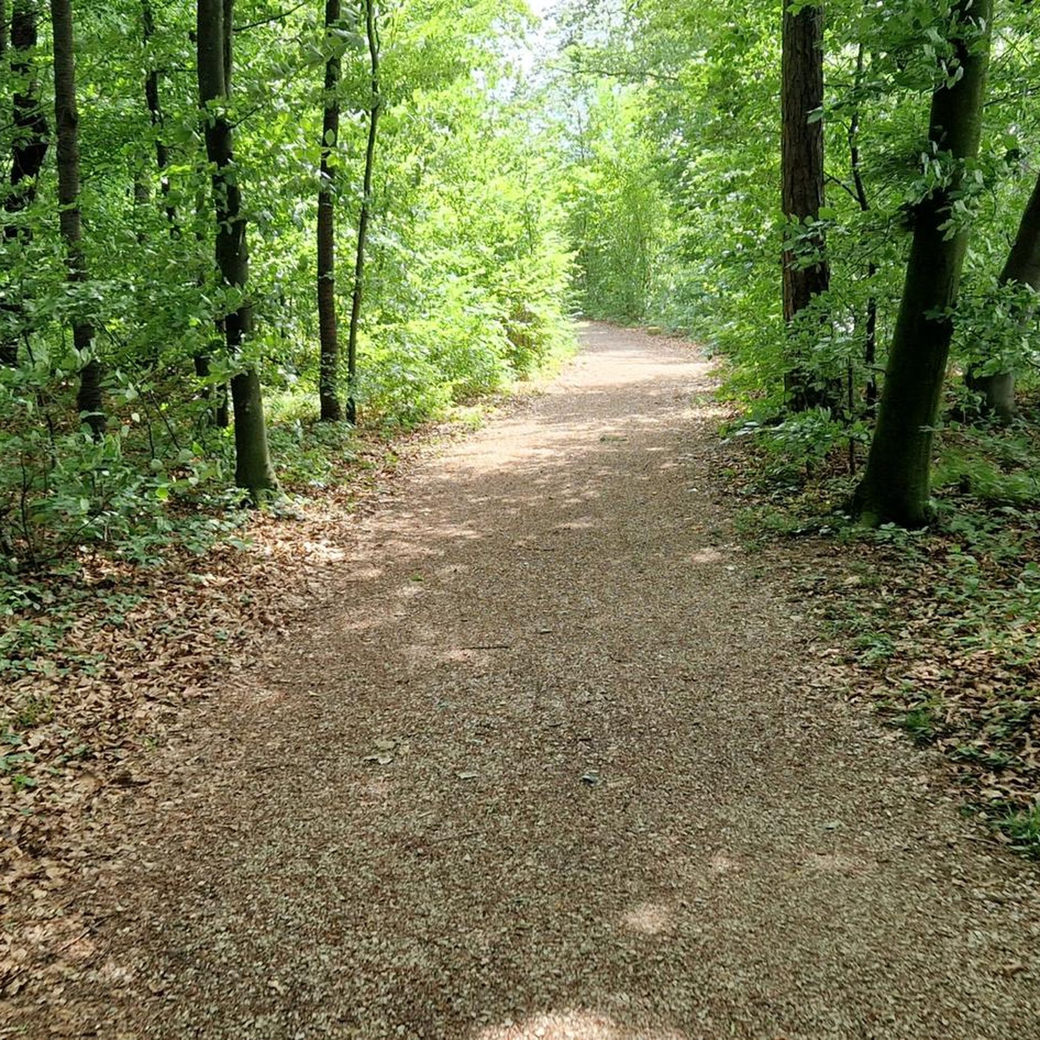
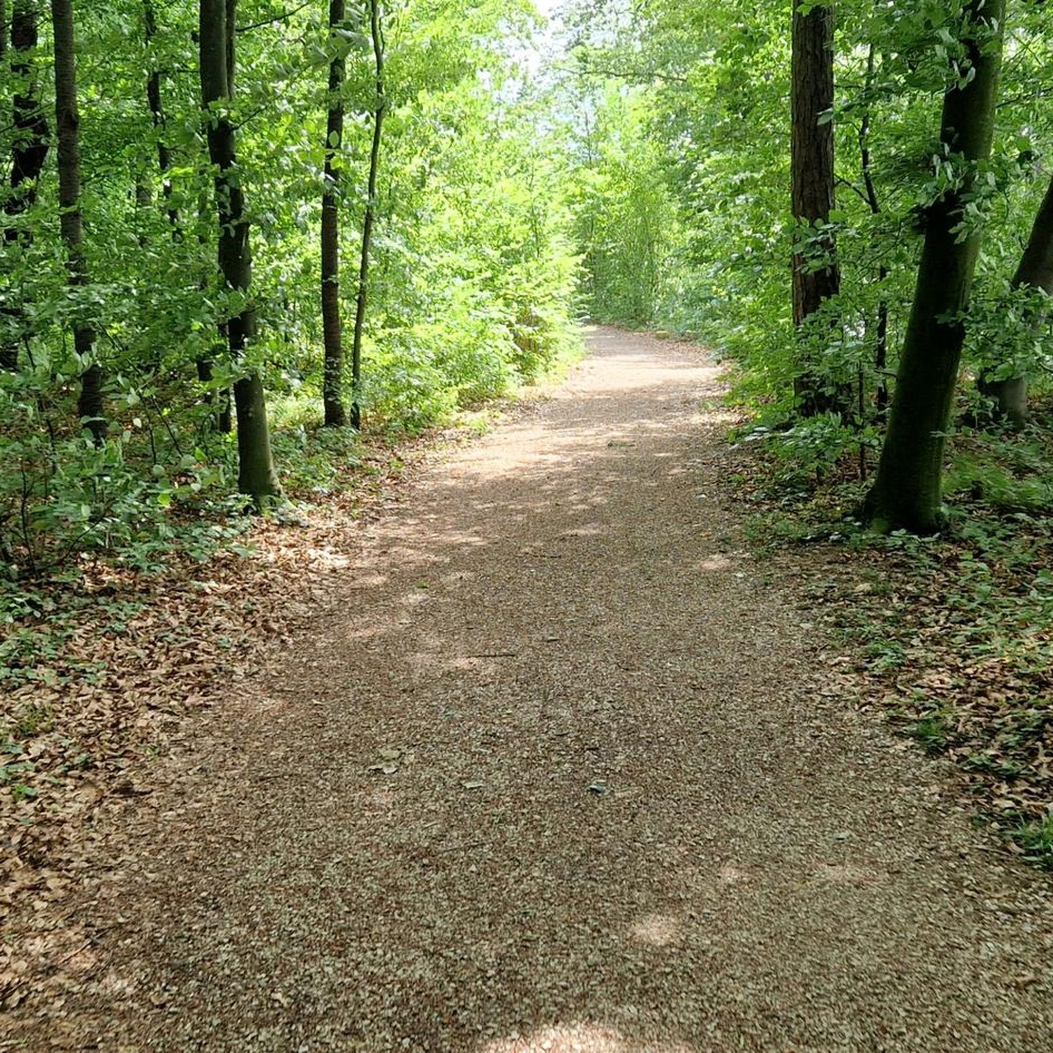
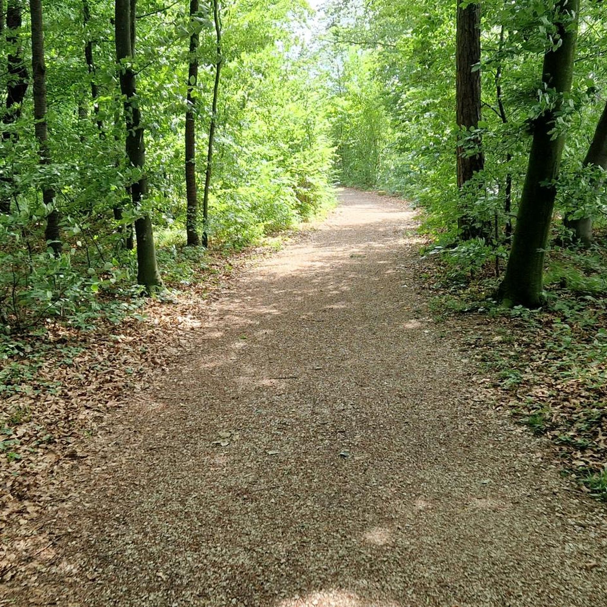
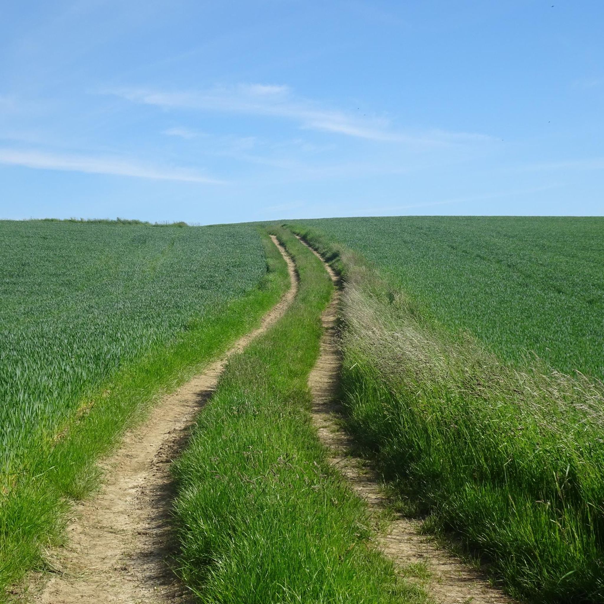
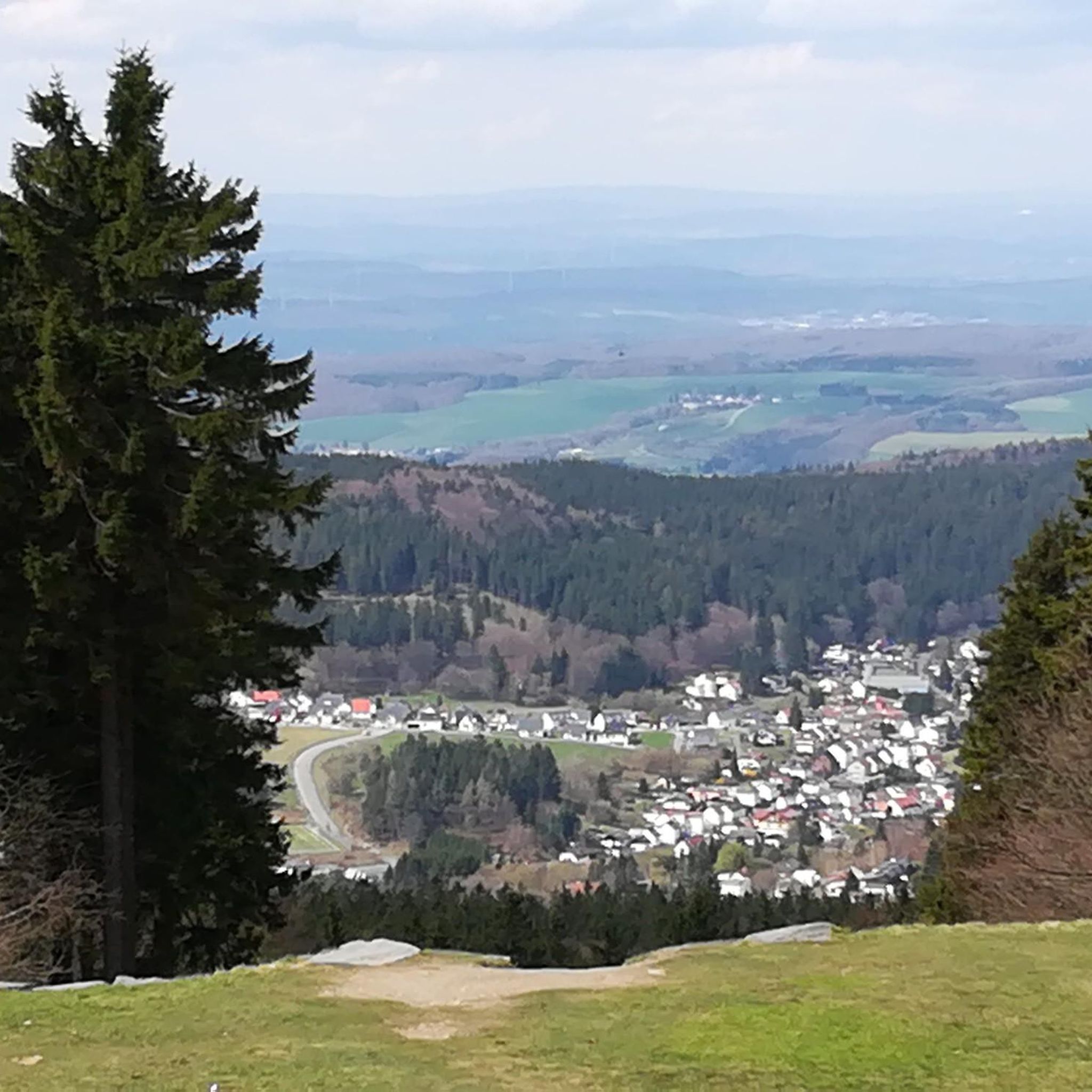
Jogging routes around Haidershofen traverse a diverse landscape, offering varied terrain for runners. The region features elevated areas such as the Stockerkogel, Sonnberg, and Damberg, which provide inclines and rewarding views. Trails often lead through natural settings, including forests and open meadows, away from paved roads. This mix of features makes Haidershofen suitable for different running preferences.
Best jogging routes around Haidershofen
- The most popular jogging route is Ramingdorf Castle loop from Haidershofen, a 5.2 miles (8.4 km) trail…
Last updated: October 22, 2026
17
runners
8.42km
00:53
60m
60m
Moderate run. Good fitness required. Mostly paved surfaces.
10
runners
8.59km
00:57
100m
110m
Moderate run. Good fitness required. Mostly paved surfaces.

10
runners
10.5km
01:09
110m
110m
Moderate run. Good fitness required. Mostly paved surfaces.
12
runners
6.47km
00:41
80m
80m
Moderate run. Good fitness required. Mostly paved surfaces.
10
runners
5.07km
00:32
70m
70m
Moderate run. Good fitness required. Mostly paved surfaces.
Get access to more routes and recommendations from other explorers.
Already have an account?
Our route recommendations are based on thousands of hikes, rides, and runs completed by other people on komoot.
Start today with a free account
Your next adventure awaits.
Tips from the Community

A bit off the beaten track but still worth seeing still in a deep sleep
0
0

Today, the BMW engine plant in Steyr stands on the site of the former warehouse.
0
0
After 1945, the camp barracks were partly used by displaced people from Gablonz.
0
0
The Steyr-Münichholz district was built by prisoners of the Münichholz subcamp of Mauthausen concentration camp as a model housing project of Nazi residential architecture. Housing was required, among other things, by the nearby armaments factories (ball bearings, aircraft engines), which, after the end of World War II, became part of the Steyr-Daimler-Puch factories: "Kugellager-Werke" (now SKF) and Gusswerk Steyr (now AIC).
0
0
From the prisoners
0
0

This lovingly designed rest area on the footpath and cycle path along the Erla has been there for a while. It is now the 5th stop on the Ursprungweg. There is a stamp box here. There is also a small barefoot path, which is very nice.
5
0

Along the Erla we reach a cozy place with comfortable seating that invites you to rest.
0
0

Very good opportunity for a rest. Really very cozy!👍
4
0
Frequently Asked Questions
How many running routes are available around Haidershofen?
There are over 15 diverse running routes around Haidershofen, all categorized as moderate difficulty, offering varied terrain for joggers.
What kind of terrain can I expect on the running trails in Haidershofen?
Jogging routes in Haidershofen feature a diverse landscape, including elevated areas like the Stockerkogel, Sonnberg, and Damberg, which provide inclines and rewarding views. Trails often lead through natural settings, such as forests and open meadows, offering a mix of surfaces away from paved roads.
Are the jogging routes in Haidershofen suitable for beginners?
While all routes are currently rated as moderate, the varied terrain and moderate elevation changes mean that some paths might be more challenging for absolute beginners. However, many routes offer steady jogs through natural landscapes, making them accessible for those with a basic fitness level.
What do other runners say about the trails in Haidershofen?
The running routes in Haidershofen are highly rated by the komoot community, with an average score of 5.0 stars from 3 reviews. Over 170 runners have used komoot to explore the varied terrain, often praising the natural settings and diverse landscapes.
Are there any scenic viewpoints or natural features to discover while running in Haidershofen?
Yes, the region offers several scenic spots. You can find rewarding views from peaks like the Stockerkogel Summit or the Damberg. Natural features also include the view of the confluence of the Steyr and Enns rivers and the tranquil Moar-Lacke.
Can I combine my run with visiting any interesting landmarks or attractions?
Absolutely. Some routes might pass near points of interest. For example, you could explore the area around Schloss Vestenthal. The region also features unique natural monuments like The Picture Oak at Rohrberg or the intriguing Windloch Cave.
Are there any family-friendly running paths in the Haidershofen area?
While specific 'family-friendly' designations aren't provided, many of the moderate routes through forests and meadows, with their natural settings and varied terrain, can be enjoyable for active families. Consider routes with less significant elevation gain for a more relaxed family outing.
Are dogs allowed on the running trails around Haidershofen?
Generally, dogs are welcome on most natural trails in the Haidershofen region. However, it's always recommended to keep them on a leash, especially in forested areas or near wildlife, and to be mindful of local regulations and other trail users.
Are there any circular jogging routes available?
Yes, many of the running routes around Haidershofen are designed as circular loops. Examples include the popular Ramingdorf Castle loop from Haidershofen and the Running loop from Katastralgemeinde Brunnhof, offering convenient starting and ending points.
What is the typical length and duration of a running route in Haidershofen?
The running routes in Haidershofen vary in length. For instance, the Ramingdorf Castle loop is about 5.2 miles (8.4 km) and takes approximately 53 minutes, while the Running loop from Haidershofen extends to 6.5 miles (10.5 km), typically completed in about 1 hour 9 minutes.
Are there options for longer or more challenging runs with significant elevation?
Yes, for those seeking a more challenging run, routes like the Running loop from Katastralgemeinde Brunnhof offer notable elevation gain, providing a more strenuous workout with scenic sections. The region's peaks also contribute to routes with varied inclines.
Is there parking available near the running trails in Haidershofen?
While specific parking information for every trailhead isn't detailed, many routes around Haidershofen, especially those starting from villages or popular points, typically have accessible parking options nearby. It's advisable to check individual route details on komoot for specific parking recommendations.
Most popular routes around Haidershofen
Most popular attractions around Haidershofen

Get inspired with the komoot mobile app


Explore more
Browse the best Running Trails & Routes in other regions.
