Hurstpierpoint And Sayers Common
Hurstpierpoint And Sayers Common
The 10 Most Amazing Peaks around Hurstpierpoint And Sayers Common
Best mountain peaks near Hurstpierpoint Sayers Common are found within the South Downs National Park, offering significant elevated points rather than traditional mountains. These prominent hills provide panoramic views and hold historical interest. The region is characterized by its chalk hills, open grasslands, and diverse landscapes. Visitors can explore ancient hillforts and enjoy expansive natural beauty across the South Downs.
Best mountain peaks around Hurstpierpoint And Sayers Common
- The most popular mountain peaks is Ditchling Beacon, a natural monument…
Last updated: July 1, 2026
Ditchling Beacon
Highlight • Natural Monument
Tip by

Blackcap Summit and Trig Point
Highlight • Viewpoint
Tip by

Sign up now to discover places like this
Get recommendations on the best single tracks, peaks, & plenty of other exciting outdoor places.
Sign up for free
Lewes Beacon on Mount Harry
Highlight • Historical Site
Historically, the beacon was used as a signal point …
Tip by

Wolstonbury Hill
Highlight • Natural Monument
Tip by

Truleigh Hill
Highlight • Natural Monument
Tip by

Sign up for free to discover even more peaks around Hurstpierpoint And Sayers Common.
Sign up for free
Already have an account?
Start today with a free account
Your next adventure awaits.
Login or Signup
Popular around Hurstpierpoint And Sayers Common
MTB Trails around Hurstpierpoint And Sayers Common
Road Cycling Routes around Hurstpierpoint And Sayers Common
Running Trails around Hurstpierpoint And Sayers Common
Cycling around Hurstpierpoint And Sayers Common
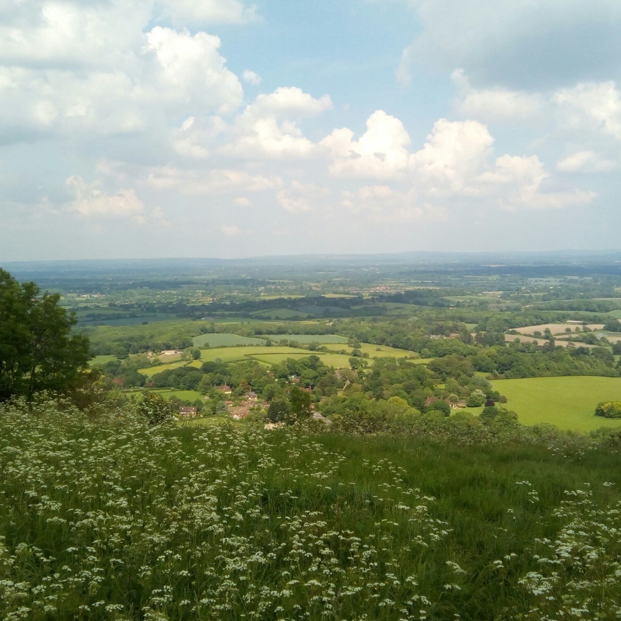
Hiking around Hurstpierpoint And Sayers Common
Gravel biking around Hurstpierpoint And Sayers Common
Tips from the Community

At over 650 feet (200 m), Ditchling Beacon gives you a good climb and a great vantage point to see out over the surrounding countryside. To the north you look back at the lush countryside of the Weald, to the south are views of Brighton, and to the east and west, the rolling undulating views out over the South Downs.
1
1

Nice enough trig pointed hilltop and easy enough to get to with grand views out over the South Downs.
0
0

Ice cream van also serving Tea today (Easter Monday). view from the top on a nice clear day
0
0

Mount Harry rises to a height of 627 feet (191 m) and offers panoramic views of the surrounding countryside, including the South Downs and the Ouse Valley. It's characterised by the tall brazier, known as Lewes Beacon. This was erected in 2002 as a reminder of the beacon that stood here from the 16th century to warn of danger.
0
0

The locally well-known Lewes Beacon stands on top of Mount Harry and commands beautiful views over the town and surrounding countryside. Historically, the beacon was used as a signal point during times of conflict and also as a place for locals to gather and celebrate. Today, the landmark is a popular spot for walkers and anyone looking for a refreshing nature fix.
2
0
Black Cap is a prominent hill located in the South Downs National Park in East Sussex. The hill stands at 206 m high and provides some glorious panoramic views across the surrounding countryside and coastline.
1
0
Ditchling Beacon is the highest point in East Sussex, England, with an elevation of 248 m (814 ft). It is south of Ditchling and to the north-east of Brighton. It is a large chalk hill with a particularly steep northern face, covered with open grassland and sheep-grazing areas. It is the third-highest point on the South Downs, behind Butser Hill (270 m (890 ft) and Crown Tegleaze (253 m (830 ft).
2
0
Frequently Asked Questions
What are the most prominent elevated points around Hurstpierpoint and Sayers Common?
The region, situated within the South Downs National Park, features several notable hills that serve as prominent elevated points. Key among them are Ditchling Beacon, the highest point along the Sussex Downs at 248 meters (814 feet), Blackcap Summit and Trig Point at 206 meters (676 feet), and Wolstonbury Hill, also 206 meters (676 feet), which offers exceptional 360-degree views.
What kind of views can I expect from these elevated points?
From these prominent hills, you can expect extensive panoramic views. For instance, Ditchling Beacon offers vistas south towards the sea, north across the Weald, and east-west across the Downs. Wolstonbury Hill provides views of both the Downs and the Weald, including landmarks like the Clayton Windmills and Brighton.
Are there any historical or archaeological sites on these peaks?
Yes, several elevated points have significant historical interest. Ditchling Beacon is home to an Iron Age hillfort. Additionally, Devil's Dyke Trig Point is located on the southern rampart of a multivallate Iron Age hillfort, offering a glimpse into ancient history.
What is the terrain like for hiking these hills?
The terrain primarily consists of chalk hills and open grasslands, characteristic of the South Downs National Park. Some areas, like the northern face of Ditchling Beacon, are particularly steep, offering a challenging walk. Other paths, such as those around Wolstonbury Hill, can also be challenging from the north but reward with great views.
Are there family-friendly walking options around Hurstpierpoint and Sayers Common?
Yes, there are several easy hiking routes suitable for families. For example, you can find routes like the 'Dirt Path Along Grassy Field – Morley's Wine Bar loop' or the 'Danny House loop from Hurstpierpoint and Sayers Common'. These are generally shorter and less strenuous. You can explore more options on the Easy hikes around Hurstpierpoint And Sayers Common guide.
What outdoor activities can I do near these elevated points?
Besides hiking, the area offers opportunities for mountain biking. You can find various MTB trails, including challenging loops that incorporate points like Ditchling Beacon and Blackcap Summit. For more details, check the MTB Trails around Hurstpierpoint And Sayers Common guide.
Where can I find hiking routes with significant elevation gain?
For routes with elevation gain, consider trails that include Ditchling Beacon, which is the highest point in the area, or Wolstonbury Hill, known for its challenging ascent from the north. The Hiking around Hurstpierpoint And Sayers Common guide lists several moderate routes like the 'Wolstonbury Hill – Danny House loop'.
What do visitors enjoy most about the elevated points in this region?
Visitors frequently highlight the breathtaking panoramic views, the sense of achievement from reaching the summits, and the opportunity to explore ancient historical sites. The open grasslands and diverse landscapes of the South Downs are also highly appreciated for their natural beauty and tranquility.
Are there any other notable viewpoints besides the main peaks?
Yes, Devil's Dyke Trig Point offers magnificent views across its V-shaped valley and the rolling hills of the surrounding countryside. Truleigh Hill, another highpoint on the South Downs Way, provides excellent panoramic views over the Weald, Shoreham, and Brighton.
What is the best time of year to hike these elevated points?
While the region can be enjoyed year-round, spring and autumn often offer pleasant temperatures and clear skies, ideal for hiking and enjoying the expansive views. Summer can be beautiful but also busier, while winter walks can be invigorating, though paths might be muddy and weather conditions more challenging.
Are dogs allowed on the trails around these peaks?
Many trails within the South Downs National Park are dog-friendly, but it's always advisable to keep dogs on a lead, especially near livestock (sheep grazing is common on hills like Ditchling Beacon) and to protect ground-nesting birds. Always check local signage for specific restrictions.
How accessible are these elevated points by public transport?
While some areas are more accessible than others, public transport options to the immediate vicinity of these hills can be limited. It's often best to plan your route in advance, potentially combining a bus journey to a nearby village with a walk to the trailhead. Parking is generally available at popular spots like Ditchling Beacon.
Most popular routes around Hurstpierpoint And Sayers Common
Most popular attractions around Hurstpierpoint And Sayers Common

Get inspired with the komoot mobile app


Explore more
See even more amazing summits around Hurstpierpoint And Sayers Common with these guides:
