The best road cycling routes around Rayne
4.7
(6)
211
riders
17
rides
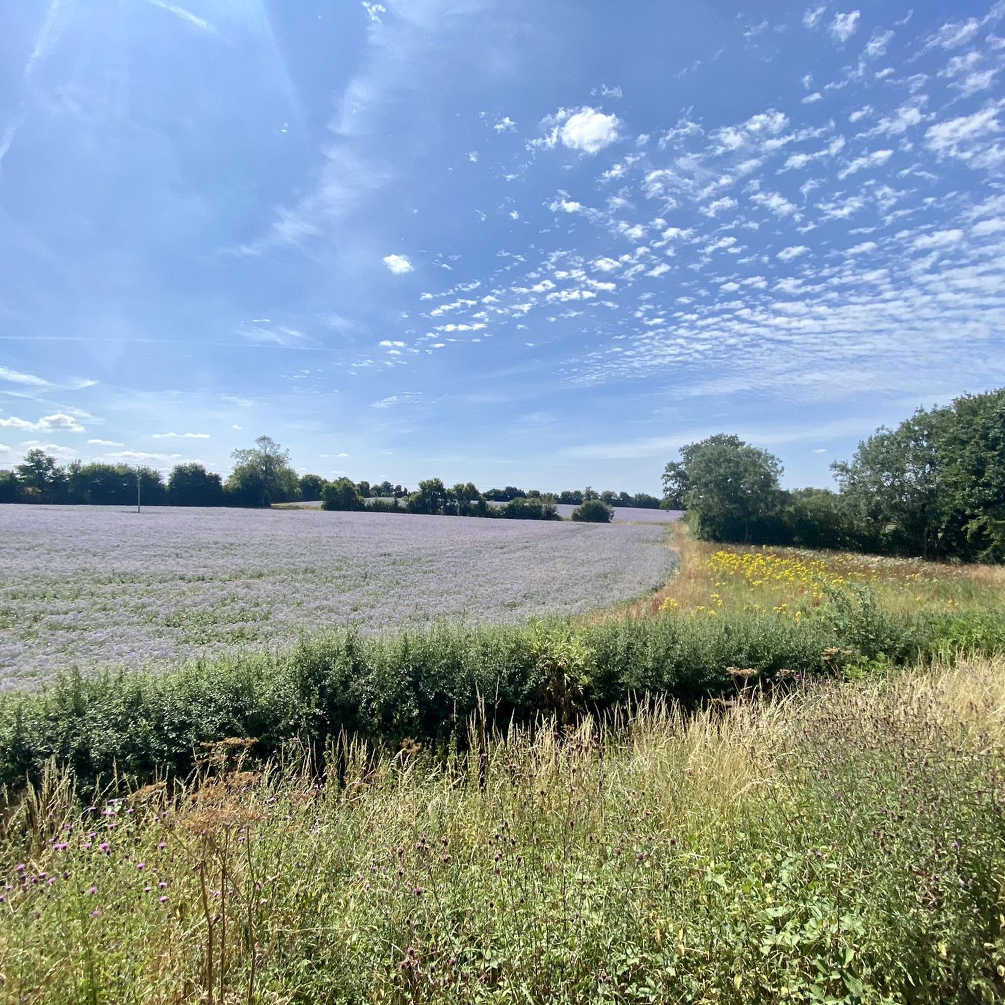
Road cycling routes around Rayne traverse a landscape characterized by gently rolling terrain and agricultural lands. The area features a network of paths, including sections of disused railway lines, offering varied surfaces for cyclists. Elevation changes are generally moderate, with some routes incorporating gradual climbs.
Best road cycling routes around Rayne
- The most popular road cycling route is Paper Mill Lock – North Hill Climb loop from Rayne, a 29.3 miles (47.2 km) trail that takes 2 hours 5…
Last updated: August 26, 2026
4.5
(2)
49
riders
38.9km
01:36
230m
220m
Easy road ride. Great for any fitness level. Mostly well-paved surfaces and easy to ride.
5.0
(1)
39
riders
34.5km
01:22
140m
140m
Easy road ride. Great for any fitness level. Mostly well-paved surfaces and easy to ride.

Sign up for free
13
riders
22.1km
00:52
80m
80m
Easy road ride. Great for any fitness level. Mostly well-paved surfaces and easy to ride.
12
riders
38.9km
01:44
200m
200m
Easy road ride. Great for any fitness level. Mostly well-paved surfaces and easy to ride.
5.0
(1)
12
riders
38.3km
01:39
200m
200m
Easy road ride. Great for any fitness level. Mostly well-paved surfaces and easy to ride.
Get access to more routes and recommendations from other explorers.
Sign up for free
Already have an account?
Our route recommendations are based on thousands of hikes, rides, and runs completed by other people on komoot.
Start today with a free account
Your next adventure awaits.
Login or Signup
Tips from the Community

Watch out for pedestrians and dogs, great place to stop to refuel.
0
0


Lovely flowing road apparently a part of the Tour de France route.
0
0

Small cafe with sheltered space outside to eat. Inside a little cosy! Staff extremely friendly. A reasonable range of food. Also space to prop your bicycle.
0
0

Great place for a break! Able to order outside (if the weather is nice) so don't need to worry about securing bike if a solo biker!
0
0

Classic cafe stop in the area, always plenty of cyclists and places to put your bike.
0
0

Joined the Flitch way here - an excellent off road trail all the way to Bishop's Stortford - as an old railway - fairly flat with gentle gradients - highly recommended.
0
0
Frequently Asked Questions
How many road cycling routes are available around Rayne?
There are over 20 road cycling routes around Rayne documented on komoot, offering a variety of options for different skill levels. You'll find 15 easy routes and 8 moderate routes to explore the local landscape.
What kind of terrain can I expect on road cycling routes in Rayne?
Road cycling routes around Rayne primarily feature gently rolling terrain and agricultural lands. Many routes incorporate sections of disused railway lines, such as the Flitch Way, providing varied surfaces. While generally flat, some routes do include gradual climbs, like the one found on the Paper Mill Lock – North Hill Climb loop from Rayne.
Are there any beginner-friendly road cycling routes in Rayne?
Yes, Rayne offers several beginner-friendly road cycling routes. For instance, the Rumblebees Café – Quarkers Mount loop from Rayne is an easy 15.6-mile path with a gentle ascent, perfect for those new to road cycling or looking for a relaxed ride. Overall, 15 of the routes in the area are rated as easy.
What are some scenic highlights or landmarks I can see while cycling around Rayne?
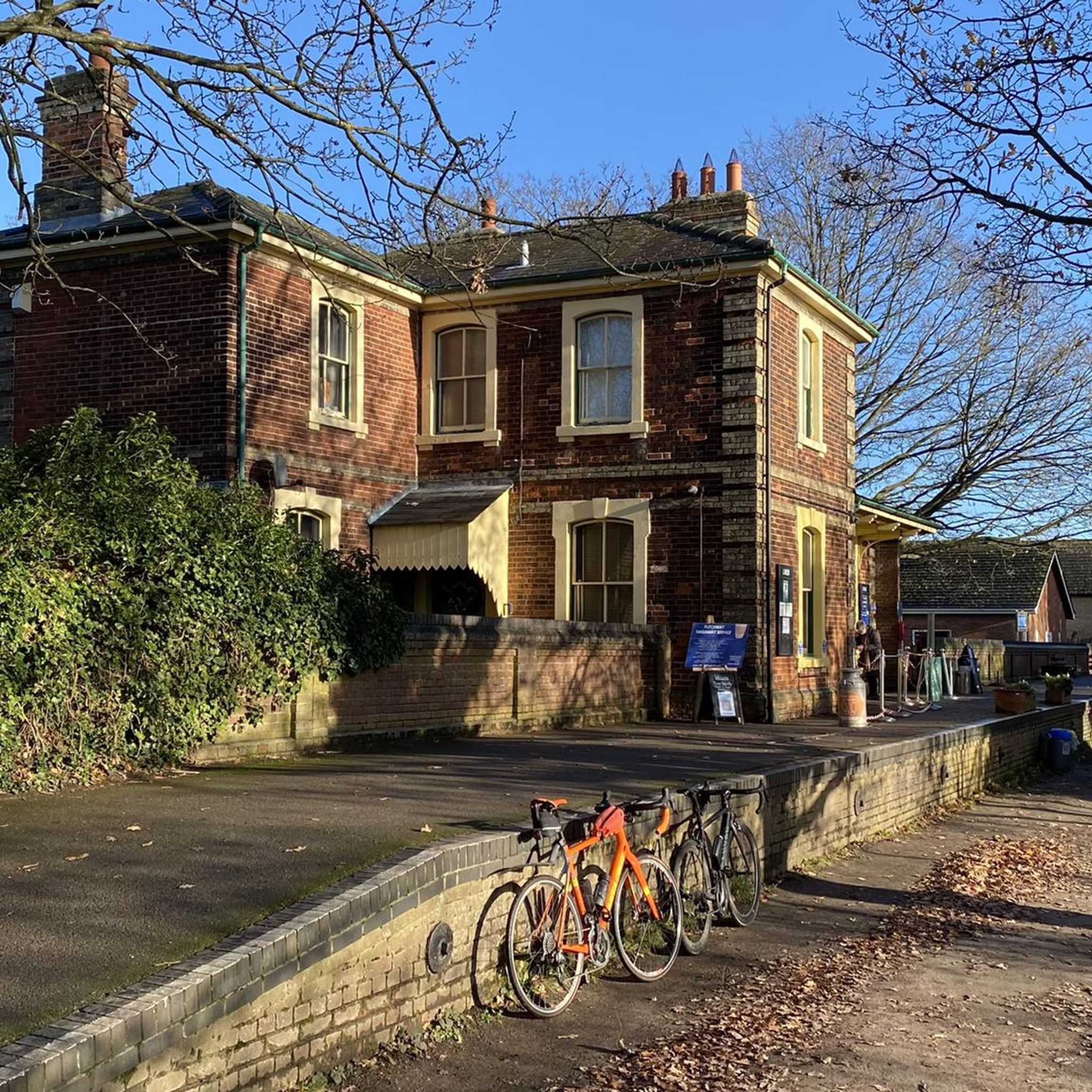
While cycling around Rayne, you can enjoy picturesque rural roads winding through agricultural lands. Notable points of interest include the Rayne Station and Flitch Way Visitor Centre, which is often a starting point for rides. You might also pass by historical sites like Bannister Green Halt or charming villages like Finchingfield Village Green, depending on your chosen route.
Are there any routes with coffee stops or cafes along the way?
Yes, some routes are designed with convenient stops in mind. The Booking Hall Café, Flitch Way – Andrews Airfield Café loop from Rayne explicitly mentions cafes in its name, indicating places to refuel. Additionally, The Blue Egg Café is another popular stop in the area that cyclists often visit.
What is the best time of year for road cycling in Rayne?
Louisiana's generally flat terrain makes it conducive to cycling for much of the year. Spring and autumn typically offer the most pleasant temperatures for road cycling in Rayne, avoiding the intense heat of summer and potential chill of winter. These seasons provide comfortable conditions to enjoy the rural roads and agricultural landscapes.
Are there any challenging road cycling routes for experienced riders?
While Rayne's terrain is generally gentle, there are routes that offer more of a challenge. The Paper Mill Lock – North Hill Climb loop from Rayne, for example, is a moderate 29.3-mile route that includes a significant climb, providing a good workout for experienced cyclists. There are 8 moderate routes in total for those seeking a bit more intensity.
Are there circular road cycling routes available near Rayne?
Many of the road cycling routes around Rayne are designed as loops, allowing you to start and finish at the same point. Examples include the Rumblebees Café – Quarkers Mount loop from Rayne and the Quarkers Mount loop from Rayne, making it convenient for exploration without needing to retrace your path.
What do other road cyclists say about the routes in Rayne?
The road cycling routes in Rayne are highly regarded by the komoot community, holding an average score of 5.0 stars from over 2 reviews. More than 270 road cyclists have used komoot to explore the area, often praising the varied terrain, from agricultural areas to disused railway paths, and the overall enjoyable experience.
Is there parking available for cyclists near the routes in Rayne?
Yes, many routes around Rayne are accessible with parking options. The Rayne Station and Flitch Way Visitor Centre is a common starting point and likely offers parking facilities, making it convenient to begin your ride along the Flitch Way or other nearby routes.
Are there any family-friendly cycling routes in Rayne?
Rayne offers several easy routes that are suitable for families. The generally flat terrain and the presence of paths like the Flitch Way, which are often less trafficked, make for a pleasant family cycling experience. Many of the 15 easy routes available would be appropriate for a family outing.
Can I combine road cycling with other outdoor activities in the Rayne area?
Absolutely! Rayne's location in the Acadiana region allows for combining cycling with other outdoor pursuits. You could explore local green spaces like Gossen Memorial Park, or venture a short drive to the Atchafalaya Basin for kayaking and wildlife viewing, or even Kisatchie National Forest for extensive hiking trails, offering a diverse outdoor experience.
Most popular attractions around Rayne

Get inspired with the komoot mobile app


Explore more
Browse the best Road cycling routes in other regions.
