The best running trails around Prein an der Rax
4.8
(27)
1,260
runners
60
runs
Jogging around Prein an der Rax offers diverse terrain for runners. The region features the Rax Plateau, characterized by alpine meadows and karst landscapes at higher altitudes, providing open views and varied paths. Lower elevations include ecologically rich forests with larches, spruces, and birches, offering shaded environments. This area provides a mix of challenging mountain running and more moderate routes through valleys and woodlands.
Best jogging routes around Prein an der Rax
- The most popular jogging route is Törlkopf –…
Last updated: July 1, 2026
5.0
(1)
55
runners
23.0km
03:50
1,360m
1,360m
Hard run. Very good fitness required. Sure-footedness, sturdy shoes and alpine experience required.
5.0
(1)
38
runners
11.4km
02:04
930m
930m
Hard run. Very good fitness required. Sure-footedness, sturdy shoes and alpine experience required.

Sign up for free
37
runners
Moderate run. Good fitness required. Mostly paved surfaces. Suitable for all skill levels.
5.0
(1)
35
runners
Moderate run. Good fitness required. Mostly paved surfaces. Suitable for all skill levels.
5.0
(1)
8
runners
Moderate run. Good fitness required. Mostly paved surfaces. Suitable for all skill levels.
Get access to more routes and recommendations from other explorers.
Sign up for free
Already have an account?
Our route recommendations are based on thousands of hikes, rides, and runs completed by other people on komoot.
Start today with a free account
Your next adventure awaits.
Login or Signup
Popular around Prein an der Rax


Other adventures around Prein an der Rax

Tips from the Community

The memorial stone for Fritz Benesch on the Rax plateau commemorates the significant alpinist and developer of numerous climbing routes in the region. Discreetly located by the path, it honors his commitment to the construction of alpine trails and the development of mountain sports in the Vienna Alps. A quiet place for reflection with a historical connection to the Rax.
1
0
A scenic viewpoint on the edge of the Rax plateau, offering impressive deep views and a wide panorama of the surrounding mountain landscapes. The place is reminiscent of the region's alpine history. A worthwhile detour for anyone who appreciates quiet viewpoints with a special background.
4
0
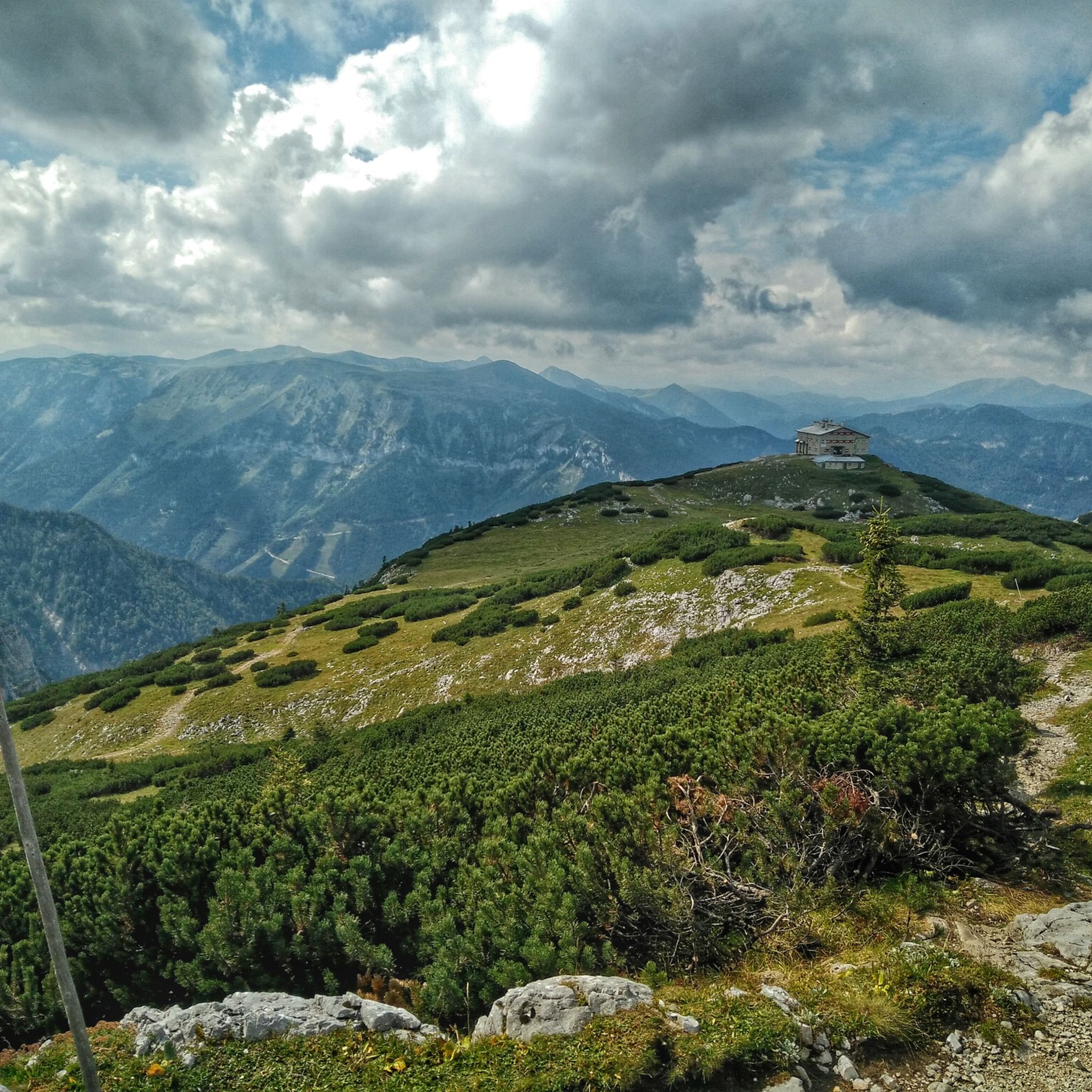
The Karl-Ludwig-Haus is located at 1,804 meters on the edge of the Rax plateau and is one of the most traditional huts in the region. Surrounded by wide alpine meadows and striking rock faces, it is a popular base for hikes across the plateau and to the surrounding peaks. A cozy stop with regional cuisine makes it an ideal resting and starting point for tours on the Rax.
5
0
The Raxkirchlein is a small chapel on the Rax plateau and is considered the highest church in Lower Austria. Simple and exposed, it blends harmoniously into the vast alpine landscape and is a special place of tranquility. From here, a beautiful view also opens up over the plateau and the surrounding peaks of the Rax.
5
0
The Heukuppe, at 2,007 meters, is the highest peak in the Rax and marks the easternmost two-thousand-meter peak in the Alps. From the expansive plateau, an unassuming ascent leads to the highest point, rewarding with an impressive panoramic view over the Vienna Alps and far into the Lower Austrian Prealps. Despite the gentle summit shape, you can feel the alpine vastness and the special location on the edge of the Eastern Alps up here.
5
0

Very beautiful on the plateau of Karl Ludwig Haus.
1
0

The Edelweißhütte's terrace and guest garden invite you to linger in the fresh air.
1
0
Reichenau Castle in Reichenau an der Rax was first mentioned in a document in 1256. Today it is used for exhibitions, concerts, and seminars.
1
0
Frequently Asked Questions
How many running routes are available in Prein an der Rax?
There are over 60 dedicated running routes around Prein an der Rax listed on komoot. These range from easy, flat paths to challenging mountain ascents, offering a wide variety of experiences for all fitness levels.
What kind of terrain can I expect on the running trails in Prein an der Rax?
The region offers diverse terrain. You'll find expansive green alpine meadows and unique karst landscapes on the Rax Plateau at higher altitudes, providing open views. Lower elevations feature ecologically rich forests dominated by larches, spruces, and birches, offering shaded environments and varied flora and fauna. Some routes also follow riverbanks, like those along the Schwarza.
Are there easy running routes suitable for beginners or families?
Yes, Prein an der Rax offers a few easy running routes. For example, the Running loop from Reichenau an der Rax is a moderate 7.9 km path with minimal elevation gain, suitable for a more relaxed run. These routes often traverse valleys or less steep forested areas.
Are there challenging trail running options for experienced runners?
Absolutely. Prein an der Rax is known for its demanding mountain running. Many routes navigate alpine terrain with significant elevation gain, such as the Heukuppe – Predigtstuhlschacht loop from Preiner Gscheid, which is a difficult 12.6 km path with nearly 1000 meters of ascent, requiring good sure-footedness and alpine experience.
What are some notable viewpoints or attractions along the running routes?
The region boasts stunning panoramic views. The Hirschenkogel Millennium Observation Tower offers extensive vistas. From the Rax Plateau, you can enjoy magnificent views, especially from the Preinerwand Cross (1,783 m) or Preiner Wand, overlooking the Vienna Basin and surrounding valleys. You might also encounter mountain huts like Habsburghaus Mountain Hut or Waldburganger Hut.
Are there circular running trails in the area?
Yes, many of the running routes in Prein an der Rax are designed as circular loops, allowing you to start and end at the same point. Examples include the Lost Train – Bridge over the Schwarza loop from Hirschwang an der Rax or the Reichenau an der Rax Castle – Lost Train loop from Reichenau an der Rax.
What do other runners say about the trails in Prein an der Rax?
The running routes in Prein an der Rax are highly rated by the komoot community, with an average score of 4.8 stars from over 20 reviews. Runners often praise the diverse landscapes, from alpine meadows to dense forests, and the well-maintained paths that offer both challenging ascents and more relaxed valley runs.
Is there public transport access to the running trails?
While specific routes may vary, the Rax Cable Car provides easy access to higher elevations, allowing runners to start directly on the Rax Plateau. Additionally, some trailheads might be accessible via local bus services, especially those closer to towns like Reichenau an der Rax or Prein an der Rax itself.
Are there any running routes that pass by water features or lakes?
Yes, some routes offer views of water features. For instance, you might find trails near the Reservoir at Rax Valley Station or Reservoir Pond 2. The Lost Train – Bridge over the Schwarza loop from Hirschwang an der Rax also follows the Schwarza river for a portion, offering pleasant riverside running.
Can I find less crowded running trails in Prein an der Rax?
While popular routes can see more visitors, the extensive network of over 60 trails means you can often find quieter paths, especially if you venture onto some of the more challenging or less-known routes. Exploring trails during off-peak hours or weekdays can also help you enjoy a more solitary experience.
Are there any specific routes that are good for a moderate run?
Yes, there are 26 moderate routes available. A good option for a moderate run is the Reichenau an der Rax Castle – Lost Train loop from Reichenau an der Rax. This 7.4 km route has a manageable elevation gain and offers a pleasant experience through varied terrain.
Most popular routes around Prein an der Rax
Most popular attractions around Prein an der Rax

Get inspired with the komoot mobile app


Explore more
Browse the best Running Trails & Routes in other regions.
