The best running trails around Olivers Battery
4.4
(152)
12,707
runners
731
runs
Jogging around Olivers Battery offers routes through a landscape characterized by chalk grassland, rolling hills, and historical earthworks. The area provides a good country feel with views of the South Down hills and features like the Oliver's Battery Wildlife Conservation Area. Footpaths connect various natural settings, including ancient chalk downland and recreational grounds, providing diverse terrain for runners. This region combines natural beauty with historical significance, making it suitable for varied running experiences.
Best jogging routes around Olivers Battery
- The…
Last updated: August 11, 2026
5.0
(1)
240
runners
Moderate run. Good fitness required. Mostly paved surfaces. Suitable for all skill levels.
145
runners
Moderate run. Good fitness required. Mostly paved surfaces. Suitable for all skill levels.

Sign up for free
5.0
(1)
94
runners
Moderate run. Good fitness required. Mostly paved surfaces. Suitable for all skill levels.
33
runners
Moderate run. Good fitness required. Mostly paved surfaces. Suitable for all skill levels.
29
runners
9.56km
01:02
40m
40m
Moderate run. Good fitness required. Mostly paved surfaces. Suitable for all skill levels.
Get access to more routes and recommendations from other explorers.
Sign up for free
Already have an account?
Our route recommendations are based on thousands of hikes, rides, and runs completed by other people on komoot.
Start today with a free account
Your next adventure awaits.
Login or Signup
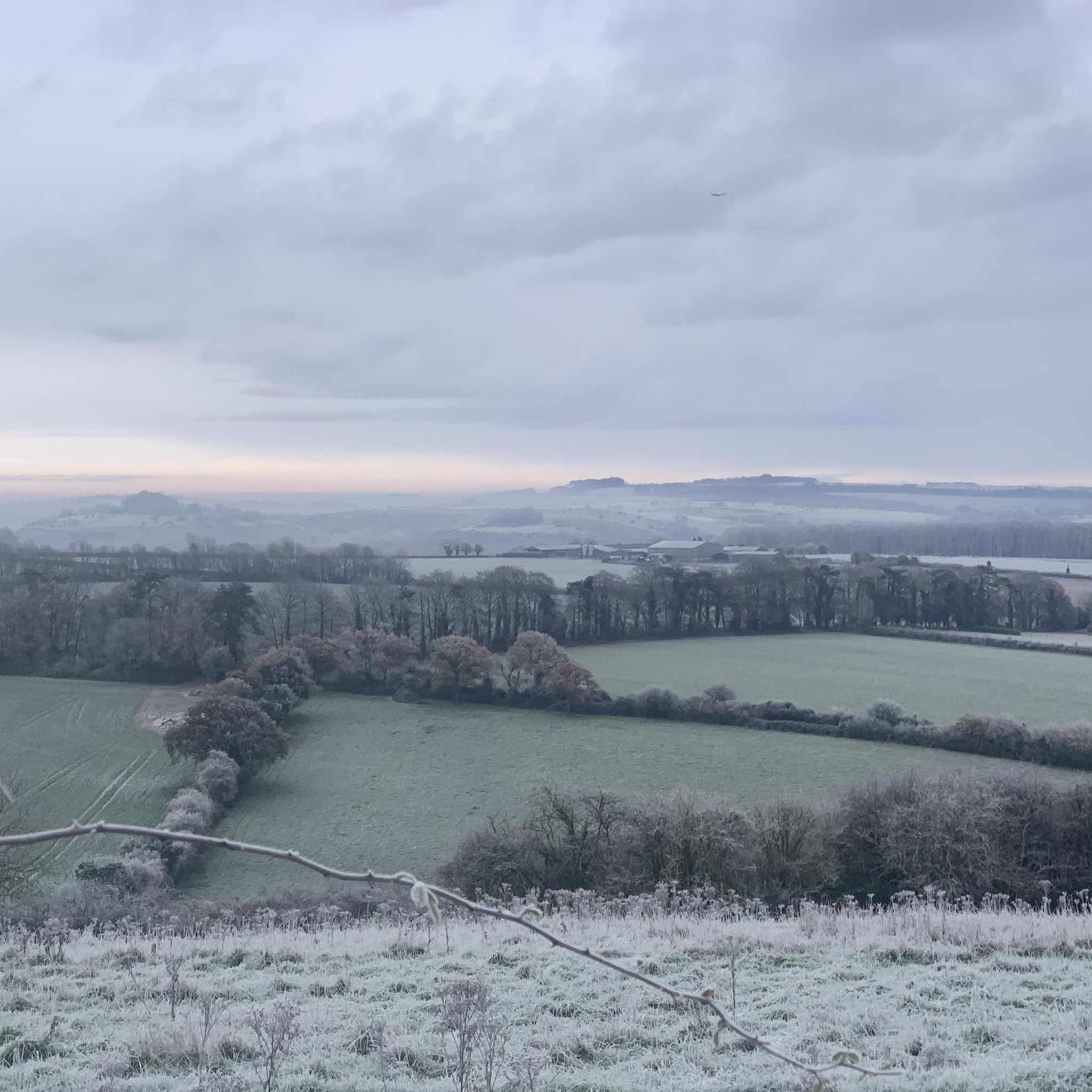
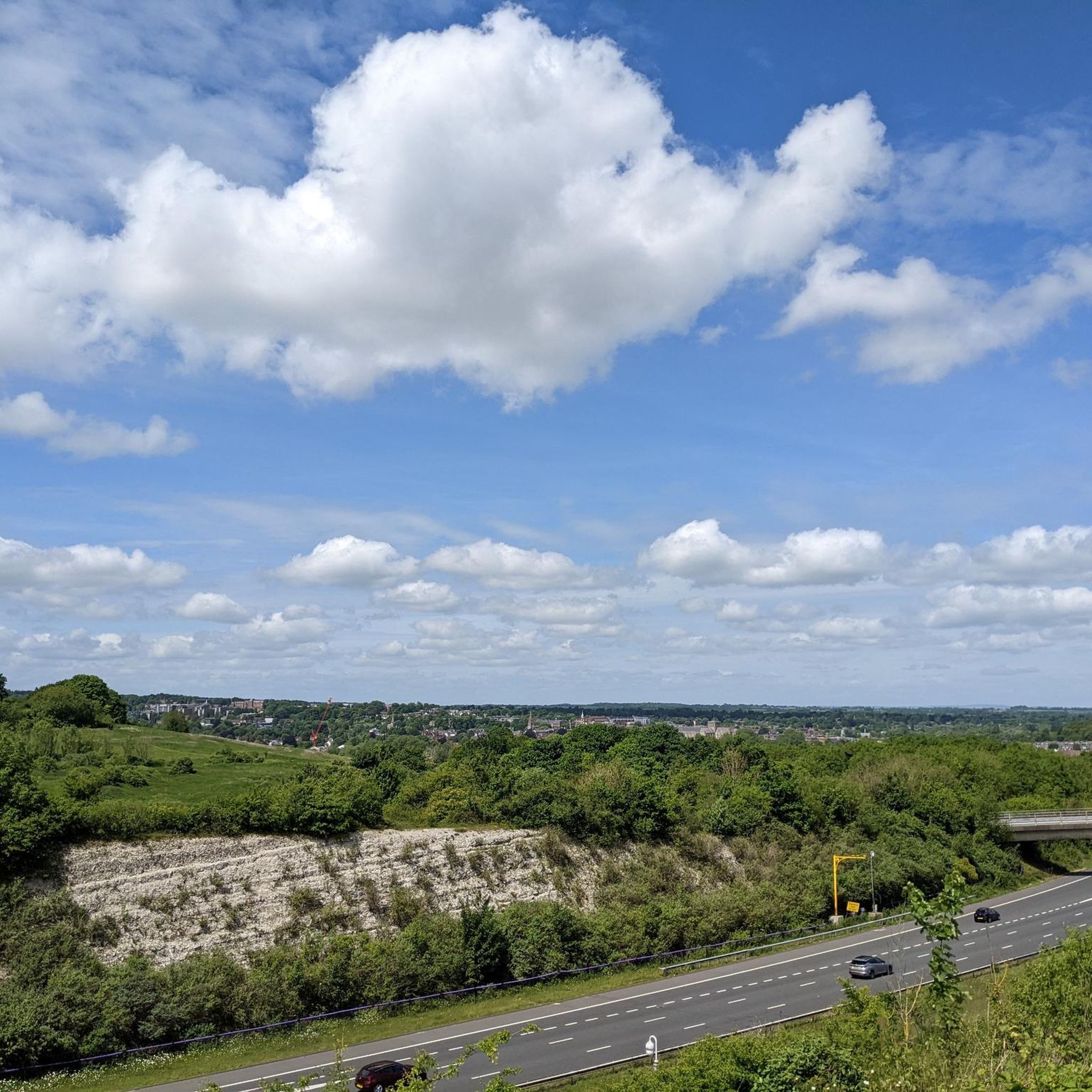
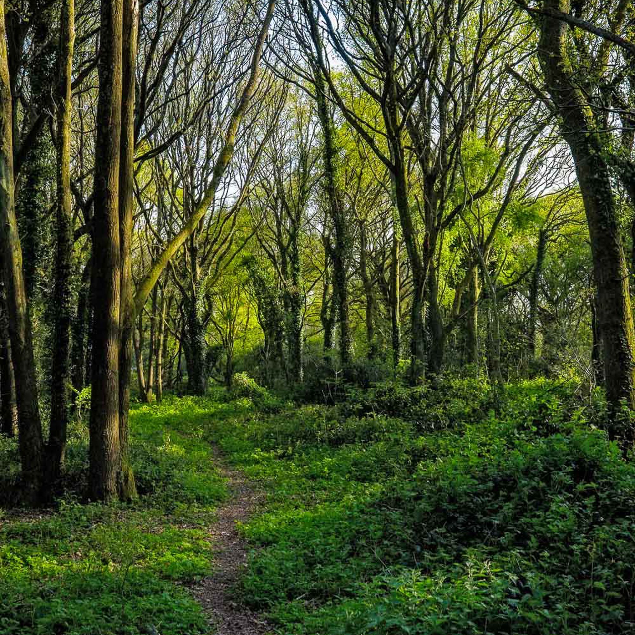
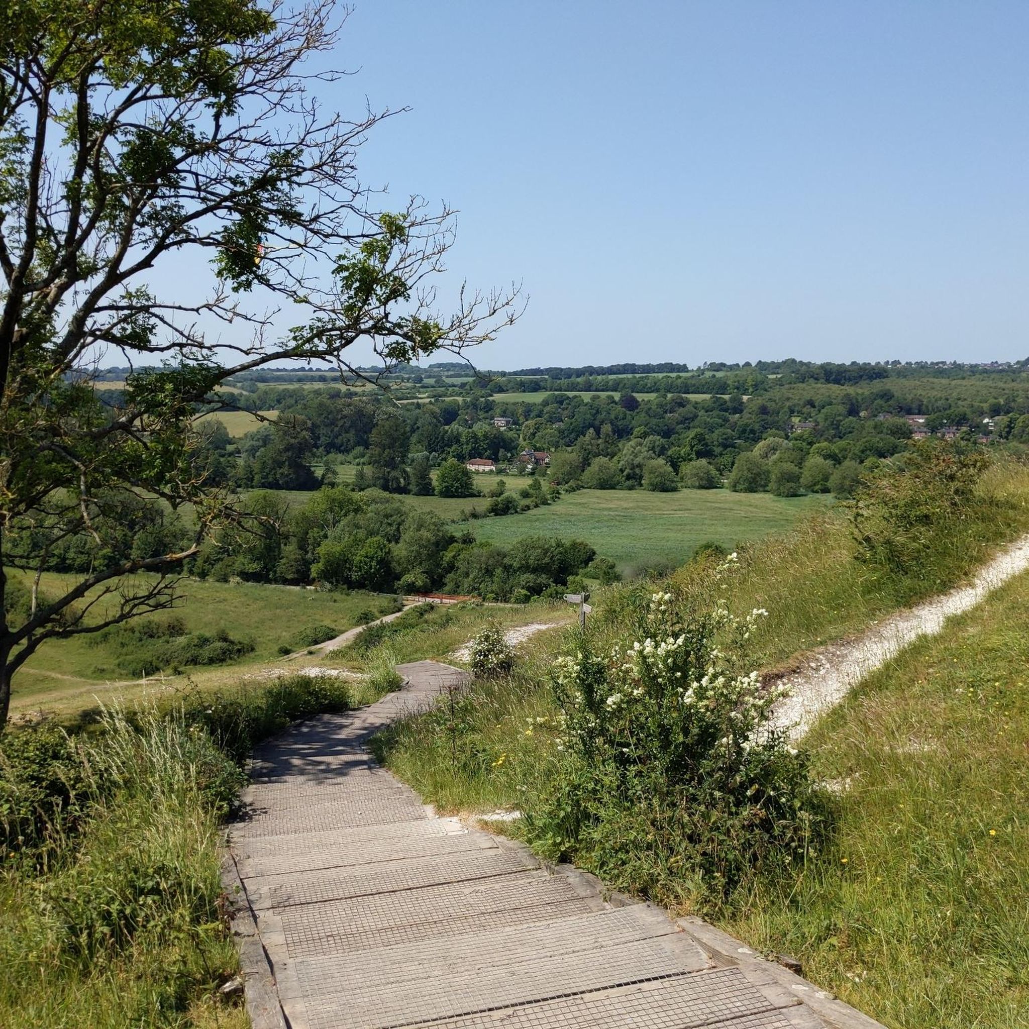
Tips from the Community

The Handlebar Cafe, now operated by Cadence Cycle Club, is a unique and award-winning community café and bike workshop located on Garnier Road at the foot of St Catherine's Hill and the Viaduct Way cycle path in Winchester. Conceived by local teenagers through the SPUD Youth program, the building's distinct architecture resembles two railway carriages to reflect the site's history as an old railway line. It serves as a popular hub for cyclists and walkers, offering locally-sourced food, specialty coffee, and essential bike repair services, all within a welcoming, dog-friendly environment that provides lovely views over the Itchen Valley.
0
0
St Catherine's Hill is a prominent chalk downland hill on the outskirts of Winchester, notable for its layered historical and ecological importance. Now a biological Site of Special Scientific Interest (SSSI) managed as a nature reserve, its summit is ringed by the impressive earthworks of a univallate Iron Age hillfort dating back over 2,000 years. The top is marked by a distinctive copse of beech trees, known as 'The Clump', which contains the scant ruins of the 12th-century St Catherine's Chapel, while the hillside features a turf-cut labyrinth known as the Miz-Maze; the entire site provides spectacular views over the city, the Itchen Valley, and supports a rich variety of wildflowers and butterflies, including the protected Chalkhill Blue.
1
0
The remains of the Roman city walls in Winchester, anciently known as Venta Belgarum, are primarily buried, as the medieval city was built directly upon and adapted the original defensive circuit; however, the single most visible fragment of the original Roman stone wall, built in the third century AD, can be found encased in a small grotto on The Weirs, near the River Itchen and the Bishop on the Bridge pub. While much of the stone was dismantled over time, especially in the 18th century to accommodate traffic, the subsequent Anglo-Saxon and medieval city walls largely followed the original Roman line, meaning the general boundary of the Roman town still influences the layout of Winchester today, with the remaining medieval gates, Kingsgate and Westgate, standing in the tradition of their Roman predecessors.
1
0
The striking bronze statue of King Alfred the Great is one of Winchester's most recognizable landmarks, dominating The Broadway at the eastern end of the High Street near the River Itchen. Sculpted by Sir Hamo Thornycroft, the colossal, 15-foot-tall figure was erected in 1901 to commemorate the millennium of the king's death—a pivotal figure who made Winchester his capital and is credited with being "The Founder of the Kingdom and Nation," as inscribed on its granite base. Depicting a heroic, bearded Alfred in a regal stance with a downward-pointing sword hilt forming a cross, the statue celebrates his dual role as a military champion against the Vikings and an early Christian leader, all while standing proudly in the city he helped define.
1
0
a key landmark that crosses the River Itchen right next to the famous Winchester City Mill on the eastern edge of the city centre.
1
0
The Sword: Alfred is shown grasping a large, cross-hilted sword with the point facing downwards. This posture is symbolic, representing not just his prowess as a warrior who defended his kingdom against the Vikings, but also his role as a Christian leader, with the hilt forming the shape of a cross. The Pedestal: The statue rests on a large pedestal of Cornish granite, which is inscribed with just one word: AELFRED. Historical Portrayal: Thornycroft's depiction is a romanticized, heroic one—showing Alfred with a long, flowing beard—even though contemporary coins suggest the King was clean-shaven. The monument represents the Victorian-era idea of Alfred as a perfect warrior, statesman, and philosopher king.
0
0
The statue depicts Alfred the Great (847–899 AD), who was the King of the West Saxons and is traditionally regarded as the first King of the Anglo-Saxons and the founder of the Kingdom of England. Winchester was his capital. Sculptor: Sir Hamo Thornycroft, a highly-regarded Royal Academician. Completion: It was completed in 1901, although it was commissioned to mark the millennium of King Alfred's death (which was in 899 AD). Size: The bronze statue is monumental, standing at 15 feet (4.57 m) high and weighing about five tons. The total height with its granite pedestal is around 40 feet. Location: It stands prominently at the eastern end of The Broadway, near the junction with Bridge Street and Eastgate Street, with the High Street extending behind it toward the city centre.
0
0
The Roman walls at "The Weirs" in Winchester are a rare and important visible fragment of the city's ancient defenses. Location: The visible fragment of the Roman wall is located in the area known as The Weirs, specifically near the River Itchen and close to the Bishop on the Bridge pub. Appearance: It is typically housed within a small, often gated or railed grotto-like enclosure, standing below the current ground level (demonstrating how much the ground has risen over the centuries). Significance: It is believed to be the only remaining visible section of the original Roman city wall of Venta Belgarum.
0
0
Frequently Asked Questions
How many running routes are available in Oliver's Battery?
Oliver's Battery offers a wide selection of running routes, with over 750 trails available. This includes a variety of options, from easy paths to more challenging runs, ensuring there's something for every runner.
What kind of terrain can I expect on the jogging trails in Oliver's Battery?
The jogging trails in Oliver's Battery primarily feature chalk grassland and rolling hills, providing a good country feel. You'll find paths through natural settings like the Oliver's Battery Wildlife Conservation Area and ancient chalk downland, offering diverse surfaces for your run. Some routes also incorporate historical earthworks and offer views of the South Down hills.
Are there any easy running routes suitable for beginners in Oliver's Battery?
Yes, Oliver's Battery has nearly 80 easy running routes, perfect for beginners or those looking for a gentle jog. These trails offer a less strenuous experience while still allowing you to enjoy the natural beauty of the area.
What do other runners say about the trails in Oliver's Battery?
The running routes in Oliver's Battery are highly regarded by the komoot community, boasting an average rating of 4.4 stars. Over 13,000 runners have explored the varied terrain, often praising the scenic views, the blend of natural landscapes, and the historical features found along the paths.
Are there any circular running routes in Oliver's Battery?
Yes, many of the running routes in Oliver's Battery are circular, allowing you to start and finish at the same point. For example, the Winchester College – The Weirs, Winchester loop from Winchester is a moderate 9.5 km circular route that takes you through varied scenery.
Can I bring my dog on the running trails in Oliver's Battery?
Many of the trails in Oliver's Battery are dog-friendly, allowing you to enjoy a run with your canine companion. The area's open spaces and footpaths are generally suitable for dogs, but always ensure your dog is under control, especially in areas with wildlife or grazing animals like those found in the Yew Hill Butterfly Reserve.
Are there any running routes suitable for families with children?
While specific 'family-friendly' routes are not explicitly categorized, many of the easier and shorter trails in Oliver's Battery, particularly those around the Recreation Ground or the less undulating paths, can be suitable for families. The 'Saxons Trail' within the Recreation Ground, for instance, offers outdoor fitness equipment which can add an engaging element for children.
What are some notable landmarks or attractions I might see while running in Oliver's Battery?
You can encounter several interesting landmarks and natural features. The area is home to an Iron Age earthwork known as Cromwell's Camp, a Scheduled Monument. You might also pass by St Catherine's Hill, a historical site and viewpoint, or the Farley Mount Monument. For nature lovers, the Oliver's Battery Wildlife Conservation Area and the Yew Hill Butterfly Reserve offer opportunities to see chalk grassland, diverse flora, and butterflies.
Are there any running routes with good viewpoints in Oliver's Battery?
Yes, Oliver's Battery offers several running routes with excellent viewpoints. From various points, you can enjoy views of the South Down hills. A footpath from the recreation ground leads towards Sainsbury's, offering 'stunning' views of Winchester once a bridge is crossed. Additionally, St Catherine's Hill is a well-known viewpoint in the vicinity.
Where can I find parking for the running trails in Oliver's Battery?
Parking is generally available near the Oliver's Battery Recreation Ground, which serves as a good starting point for many trails. Specific parking details can often be found on individual route descriptions on komoot, but the Recreation Ground is a known access point for the area's footpaths and the 'Saxons Trail'.
Are there any running routes that pass by water features or lakes?
While Oliver's Battery itself is known for its hills and chalk downland, some routes in the wider area can lead you to water features. For example, you might find trails that connect to areas near Crawley Duck Pond or Compton Lock, which is even known as a wild swimming spot. The Avington Park Mansion and Lake is another beautiful water feature in the broader region.
What is a good moderate running route to explore the area?
A great moderate option is the View of the Hampshire Downs – View of the Green Field loop from Compton and Shawford. This 6.6 km route offers lovely views of the Hampshire Downs and green fields, providing a good balance of challenge and scenic beauty.
Most popular routes around Olivers Battery
Most popular attractions around Olivers Battery

Get inspired with the komoot mobile app


Explore more
Browse the best Running Trails & Routes in other regions.
