The best mountain hikes around Trattenbach
4.6
(13)
331
hikers
22
hikes
Mountaineering routes Trattenbach are set within Lower Austria's diverse landscape, characterized by significant mountains and prominent rock formations. The region features extensive forested areas, covering over 81% of its total area, providing varied terrain for outdoor activities. Notable peaks like Hirschenkogel (1,340 meters) and Hochwechsel (1,743 meters) offer elevated challenges and panoramic views. This area is well-regarded for its climbing infrastructure, including via ferrata parks and climbing crags.
Best mountaineering routes around Trattenbach
- The most popular mountaineering route is Pfaffensattel…
Last updated: August 11, 2026
5.0
(1)
19
hikers
7.61km
02:48
460m
460m
Moderate mountaineering route. Good fitness required. Mostly accessible paths. Sure-footedness required.
16
hikers
Moderate mountaineering route. Good fitness required. Mostly accessible paths. Sure-footedness required.

Sign up for free
4.0
(1)
10
hikers
Moderate mountaineering route. Good fitness required. Mostly accessible paths. Sure-footedness required.
7
hikers
17.8km
05:24
590m
590m
Hard mountaineering route. Very good fitness required. Easily-accessible paths. Suitable for all skill levels.
4.0
(1)
6
hikers
12.2km
04:21
700m
700m
Moderate mountaineering route. Good fitness required. Mostly accessible paths. Sure-footedness required.
Get access to more routes and recommendations from other explorers.
Sign up for free
Already have an account?
Our route recommendations are based on thousands of hikes, rides, and runs completed by other people on komoot.
Start today with a free account
Your next adventure awaits.
Login or Signup
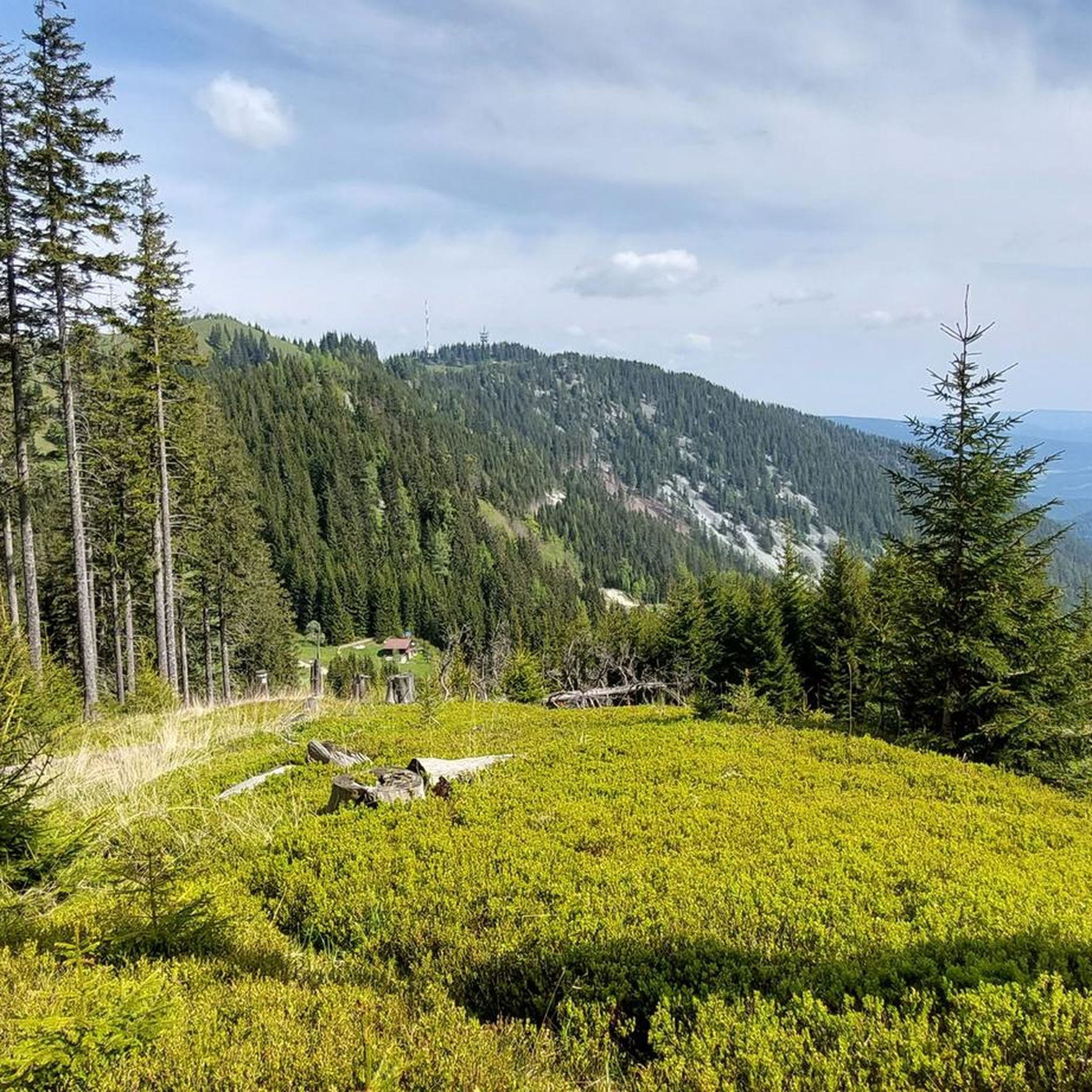
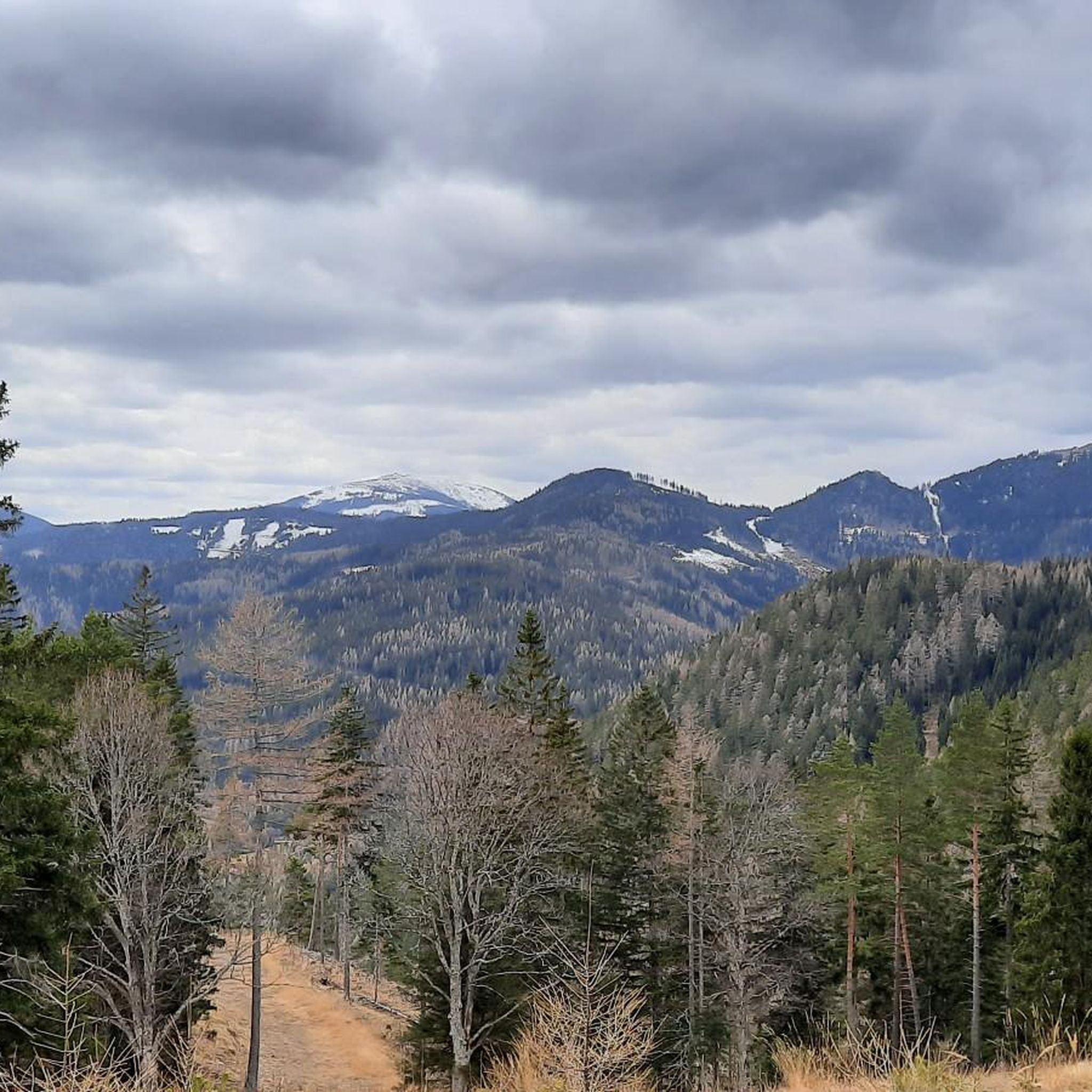
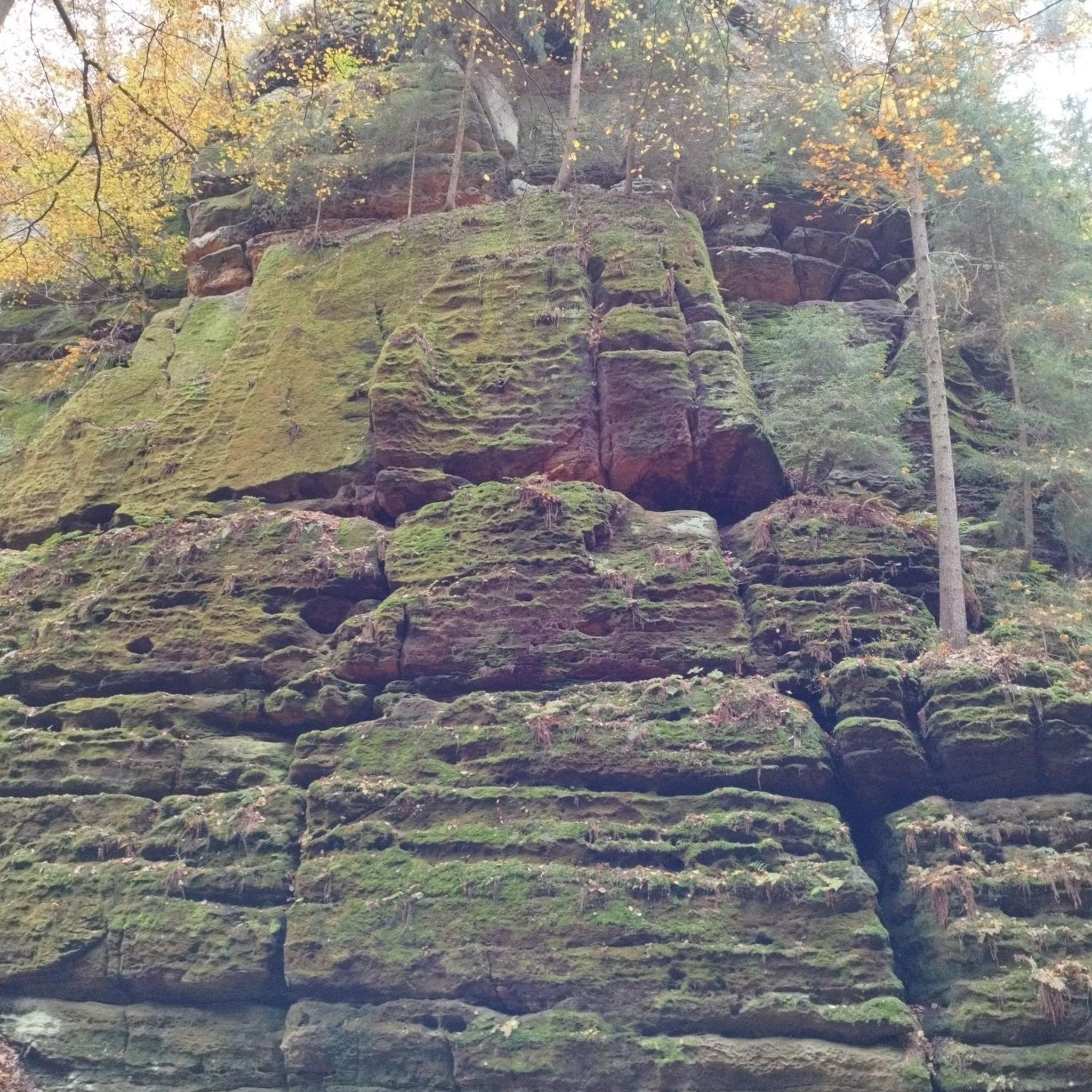
Other adventures around Trattenbach

Tips from the Community

The border stone on the Grünberg marks a transition between Lower Austria and Styria. It lies directly on the state border and is a small, but interesting landmark along the hiking route. An inconspicuous detail on the path that makes it visible that you are switching from one federal state to another here.
3
0
The Wetterkoglerhaus is located directly on the summit of the Hochwechsel at 1,743 meters and is a hut of the Austrian Alpine Club. With good visibility, the hut offers a magnificent panorama over the Wechsel region to Schneeberg, Rax, and Hochschwab. Due to its immediate proximity to the summit cross and chapel, the Wetterkoglerhaus is an ideal resting and refreshment stop at the highest point of the tour.
4
0
The Dreiländereck lies in a saddle between Arabichl and Umschußriegel and is an important junction in the Wechsel area. Contrary to what the name suggests, three federal states do not meet here; the designation apparently dates back to the confluence of three property boundaries. From here, paths branch off in the direction of Hochwechsel, Marienseer Schwaig, Kranichberger Schwaig, and Steyersberger Schwaig, among others.
2
0
The Sattelkreuz stands at an old crossroads not far from the Feistritzsattel and is a striking landmark along the hiking route. On the cross, there is an inscription about hope and confidence, which lends the quiet place a special atmosphere. Historical hiking descriptions already mention the Sattelkreuz as an important junction of several paths in the Wechsel area.
3
0
The small mountain hut is located directly on the Feistritzsattel and is a striking landmark at the transition between Lower Austria and Styria. Immediately next to it are a large parking lot and several hiking trails; the Feistritzsattel is a popular starting point for tours in the direction of Wechsel and Semmering. The mountain hut itself is more of a simple base than a classic managed mountain hut.
3
0

Nice shady, ant-free resting place next to renovated chapel.
0
0

Very good, hearty, regional cuisine with extremely friendly staff. The inn is traditionally furnished, which gives it a characteristic charm. The Kummerbauerstadl is one of the few still operating inns in the region that you can visit with a clear conscience.
1
0

A highlight you have to do once
3
0
Frequently Asked Questions
How many mountaineering routes are available around Trattenbach?
The Trattenbach region offers a diverse selection of over 20 mountaineering routes. These routes cater to various skill levels, ranging from moderate ascents to more challenging trails, allowing you to explore the significant mountains and rock formations of Lower Austria.
What kind of difficulty levels can I expect on mountaineering routes in Trattenbach?
Mountaineering in Trattenbach presents a balanced mix of challenges. You'll find 12 moderate routes, perfect for those with some experience, and 12 difficult routes for more seasoned mountaineers seeking a greater challenge. While there are no easy mountaineering routes listed in this guide, the region does offer beginner-friendly climbing options like the practice via ferrata at Beisteinmauer Klettersteig Park.
Are there circular mountaineering routes in Trattenbach?
Yes, many of the mountaineering routes in Trattenbach are designed as loops, allowing you to start and end at the same point. For example, the Pfaffensattel Pass Parking – Alois-Günther-Haus loop from Pfaffensattel is a popular moderate circular route. Another option is the Hochwechsel Summit – Chapel on Hochwechsel loop from Katastralgemeinde Neustift am Alpenwald, which offers expansive vistas.
What are some notable landmarks or viewpoints I can encounter on these routes?
The region is rich in natural beauty and impressive viewpoints. You can experience stunning panoramas from the Stuhleck Summit or enjoy the views from the Pfaffensattel Pass (1368 m). The Großer Otter Summit – View of the Semmering Railway loop from Raach am Hochgebirge also offers a chance to see the historic Semmering Railway. For a truly commanding view, consider visiting the Millennium Observation Tower on Hirschenkogel, which provides a 360-degree panorama of the Semmering region, Rax, Schneeberg, and far into Styria.
Are there mountain huts along the mountaineering routes in Trattenbach?
Yes, the Trattenbach area features several mountain huts where you can rest and enjoy local cuisine. The Feistritzsattel Mountain Hut is one such option. The Wetterkoglerhaus, located at 1,743 meters on Hochwechsel, also provides a welcoming stop. These huts offer a rewarding experience after your outdoor activities.
What is the best time of year for mountaineering in Trattenbach?
Trattenbach is a year-round destination for outdoor activities. While summer and autumn offer ideal conditions for mountaineering with pleasant weather and clear trails, the region also provides opportunities for winter hikes through enchanting snow-covered landscapes, particularly for avalanche-safe ski circular hikes on mountains like Hochwechsel. Always check local weather and trail conditions before heading out.
Is Trattenbach suitable for family-friendly mountaineering?
While the komoot mountaineering routes in this guide are generally moderate to difficult, the broader Trattenbach region offers diverse outdoor experiences. For families, the practice via ferrata at Beisteinmauer Klettersteig Park provides a controlled environment for beginners. When choosing a route, consider the fitness level and experience of all family members, and look for shorter, less strenuous options if available.
What are the parking options for mountaineering trails in Trattenbach?
Parking is generally available near the starting points of many routes. For instance, the Pfaffensattel Pass Parking – Alois-Günther-Haus loop from Pfaffensattel indicates parking at Pfaffensattel Pass. It's always advisable to check specific route descriptions for detailed parking information and any potential fees or restrictions.
Can I access mountaineering routes in Trattenbach using public transport?
The Semmering region, which includes Trattenbach, is generally well-regarded for its accessibility. While specific public transport links directly to all trailheads might vary, major access points and villages often have bus or train connections. It's recommended to research local bus schedules or train services to nearby towns like Schottwien or Raach am Hochgebirge, which are starting points for routes such as the View of the Semmering Railway – Großer Otter Summit loop from Schottwien.
What do other mountaineers enjoy most about the routes in Trattenbach?
The mountaineering routes around Trattenbach are highly rated by the komoot community, with an average score of 4.6 stars from 12 reviews. Mountaineers often praise the varied terrain, the stunning panoramic views from peaks like Hochwechsel, and the well-maintained trails that lead through dense forests and past significant rock formations. The region's diverse landscape and the rewarding experience of reaching mountain huts are frequently highlighted.
Are there any specific regulations for dog-friendly mountaineering in Trattenbach?
While the region is generally welcoming to outdoor enthusiasts, specific regulations for dogs on mountaineering trails can vary. It's always best to keep your dog on a leash, especially in forested areas or near wildlife, and to ensure you clean up after them. Some areas, particularly nature reserves or private lands, might have additional restrictions. Always check local signage or official regional guidelines before bringing your dog on a trail.
What kind of terrain can I expect on the mountaineering routes?
The mountaineering routes in Trattenbach are characterized by a diverse terrain. You'll traverse significant mountains and prominent rock formations, often through extensive forested areas that cover over 81% of the region. Expect a mix of ascents and descents on well-defined trails, with some routes leading to exposed summits offering panoramic views. The landscape provides a varied and engaging experience for mountaineers.
Most popular routes around Trattenbach
Most popular attractions around Trattenbach

Get inspired with the komoot mobile app


Explore more
Browse the best Mountain Hikes & Routes in other regions.
