The best running trails around Reingers
4.8
(54)
443
runners
30
runs
Jogging around Reingers, located in the northern Waldviertel region of Austria at approximately 600 meters above sea level, offers varied terrain for runners. The landscape features moor areas, ancient stone formations, and extensive forests and meadows. This combination provides diverse backdrops and surfaces for running, from boardwalks over moors to paths through wooded areas.
Best jogging routes around Reingers
- The most popular jogging route is Mörter Teich loop from Litschau, a 5.6 miles (9.1 km) trail that takes about…
Last updated: July 2, 2026
6
runners
9.05km
00:58
100m
90m
Moderate run. Good fitness required. Mostly paved surfaces. Suitable for all skill levels.
5
runners
8.76km
00:55
60m
60m
Moderate run. Good fitness required. Mostly paved surfaces. Suitable for all skill levels.

Sign up for free
7
runners
5.82km
00:37
70m
70m
Moderate run. Good fitness required. Mostly paved surfaces. Suitable for all skill levels.
4
runners
6.03km
00:38
60m
60m
Moderate run. Good fitness required. Mostly paved surfaces. Suitable for all skill levels.
4
runners
7.90km
00:50
90m
90m
Moderate run. Good fitness required. Mostly paved surfaces. Suitable for all skill levels.
Get access to more routes and recommendations from other explorers.
Sign up for free
Already have an account?
Our route recommendations are based on thousands of hikes, rides, and runs completed by other people on komoot.
Start today with a free account
Your next adventure awaits.
Login or Signup
Tips from the Community

If you're planning to explore this area by bike, on a run, or while hiking, make sure to bring your own Merlot. The region is known for its stunning views and outdoor activities, but finding a good spot to enjoy a glass of wine can be a challenge. Packing your favorite Merlot ensures you can savor a well-deserved drink after your adventure!
0
0

Good inn "Genusswelt Riedl" in Leopoldsdorf
0
0

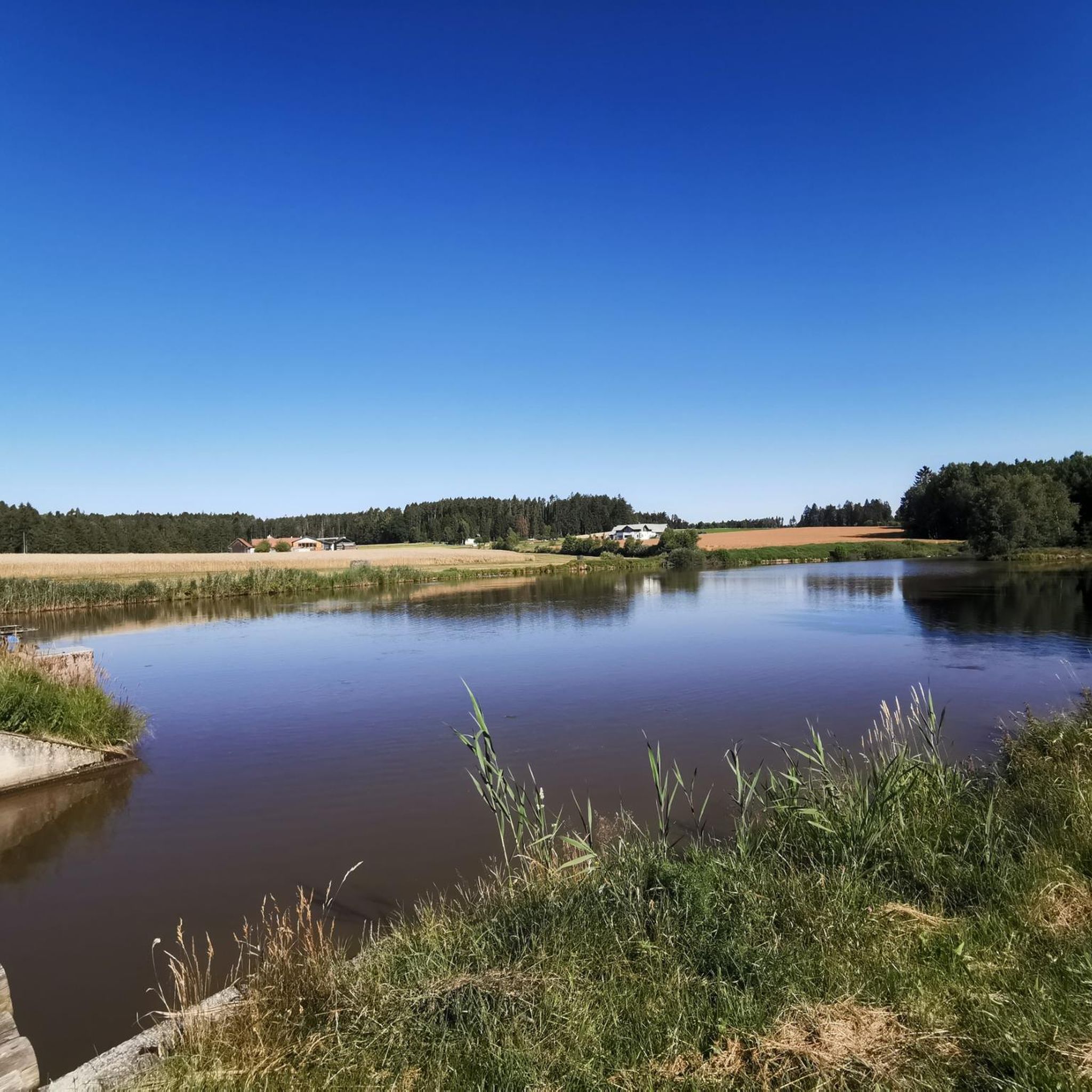
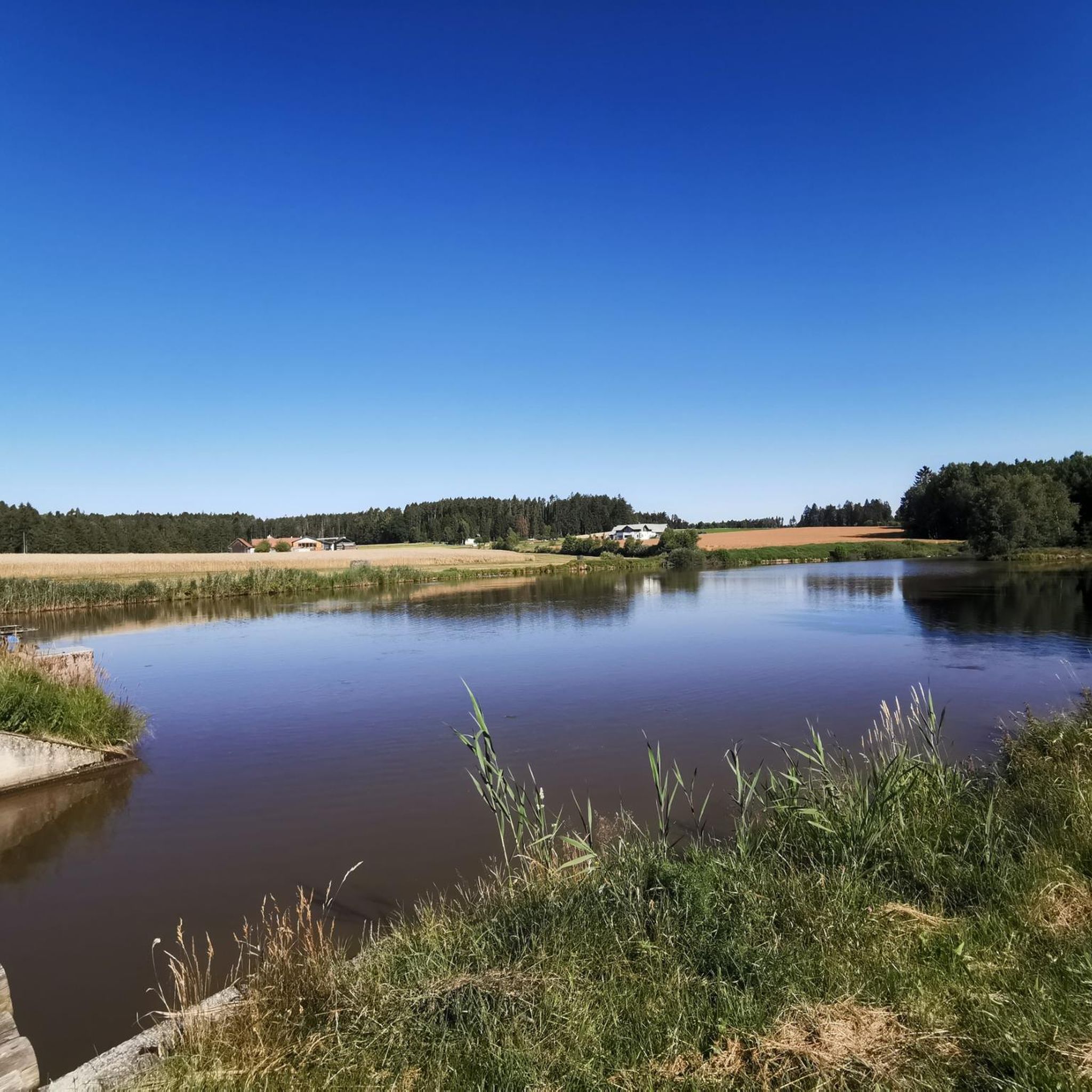
The Herrensee is surrounded by a 4.5 km long marked circular path that is only intended for pedestrians. Even in winter the path is easy to walk on. Display boards provide information about the flora and fauna. A lido, cafés and boat rentals complete the range of leisure activities. If you are traveling in the region, you should definitely stop by.
3
1
Lying on the medieval road to Bohemia, the founding of Litschau, the northernmost town in Austria, goes back to a fortification by the Hirschberg noble family (confirmed in documents since 1260). The resulting Litschau Castle changed hands several times over the centuries that followed. It has belonged to the Seilern-Aspang family since 1763 and has been their main residence since they were expelled after the Second World War. It is not open to the public.
4
1

Can only be viewed from the outside as it is privately owned
1
0

It's very beautiful there. Is a small restaurant you can rent boats, whether electric boats or pedal boats. You can walk around the Herrensee. also a lido to go for a swim.
2
1

The Herrensee (formerly called Herrenteich or Mühlteich) was originally built in the 16th century to operate a farm mill and for fish farming. Today it is particularly popular and known among anglers. https://de.wikipedia.org/wiki/Herrensee_(Litschau)
1
0
The Herrensee in Litschau has a water surface of 24 ha and is 1.6 km long. The lido is also located directly on the Herrensee.
0
0
Frequently Asked Questions
How many running routes are available around Reingers?
There are over 30 dedicated running routes around Reingers, catering to various fitness levels. While most are moderate, you can also find several easier paths perfect for a relaxed jog.
What kind of terrain can I expect on the jogging trails in Reingers?
The running trails in Reingers offer a diverse landscape. You'll find paths winding through extensive forests and open meadows, unique moor landscapes with boardwalks like the Gemeindeau Moor Boardwalk, and even ancient 'stone landscapes' such as the area known as 'Hölle'.
Are there any easy running routes suitable for beginners or a light jog?
Yes, Reingers offers several easier running paths. For instance, the Wanderweg Reingers Nr. 50 is an easy 8.64 km trail with minimal elevation gain, taking about 2 hours and 10 minutes to complete at a walking pace, making it ideal for a comfortable jog.
What do other runners say about the trails in Reingers?
The running routes in Reingers are highly regarded by the komoot community, boasting an average rating of 4.7 stars from over 50 reviews. Runners often praise the varied terrain, the natural beauty of the moor landscapes, and the tranquil forest paths.
Are there any longer or more challenging running routes for experienced runners?
Absolutely. For a more strenuous workout, consider routes like the Wanderweg Reingers Nr. 52. This moderate-difficulty trail spans 18.71 km with a significant ascent and descent, providing a good option for longer, more challenging runs.
Can I find circular running routes in the Reingers area?
Yes, many of the running routes in Reingers are circular, offering convenient starting and ending points. Examples include the popular Mörter Teich loop from Litschau or the Forellenteich loop from Reitzenschlag, both providing scenic round trips.
Are there any interesting sights or landmarks I can see while running near Reingers?
The region is rich in natural and cultural landmarks. You can run past the unique Gemeindeau Moor Boardwalk, explore the ancient 'stone landscape' near Höllstein, or even pass by the Northernmost Point of Austria. Many routes also feature picturesque lakes like Lake Herrensee.
Are the running trails around Reingers suitable for families?
Many of the easier and moderate trails are suitable for families, especially those with older children. The varied landscapes, including forests and meadows, offer an engaging environment. The nearby Hemp Village Reingers also features a recreational center with a swimming pond and playground, which can complement a family outing.
What are some scenic running routes that offer beautiful views?
For scenic runs, consider routes that traverse the moor landscapes, such as those near the Heidenreichstein Moor, which is a Natura 2000 habitat and bird sanctuary. The Litschau Castle – Lake Herrensee loop from Litschau also offers charming views of the lake and surrounding area.
Are there any running routes that pass by lakes or water features?
Yes, several routes incorporate beautiful lakes and ponds. The Mörter Teich loop from Litschau and the Forellenteich loop from Reitzenschlag are excellent choices for runs alongside tranquil waters. You can also find routes near Lake Herrensee and the Gemeindeteich.
Is Reingers a good destination for trail running?
With its varied natural landscapes, including forests, meadows, and unique moor areas, Reingers offers an excellent environment for trail running. The diverse terrain provides both challenging and scenic options for those who prefer off-road running.
Most popular attractions around Reingers

Get inspired with the komoot mobile app


Explore more
Browse the best Running Trails & Routes in other regions.
