The best mountain hikes around Adnet
4.7
(430)
5,428
hikers
138
hikes
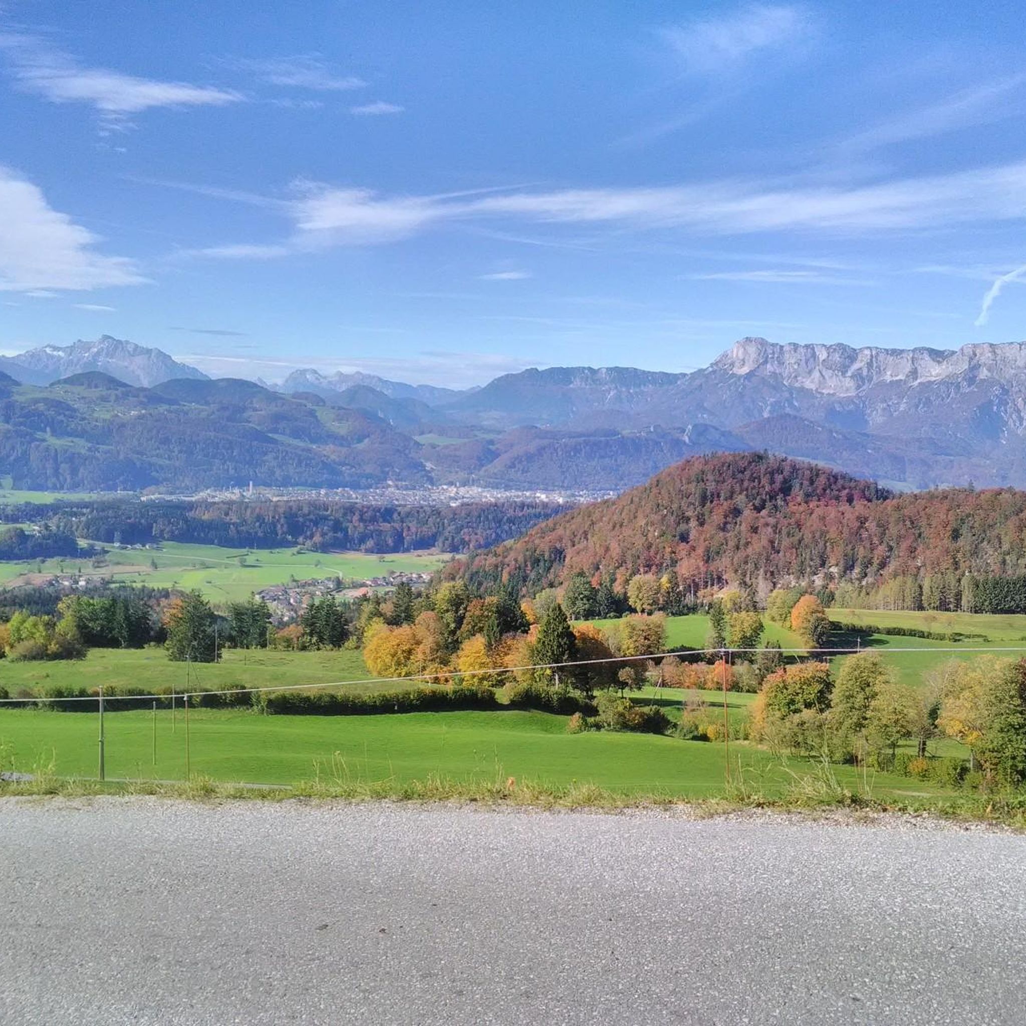
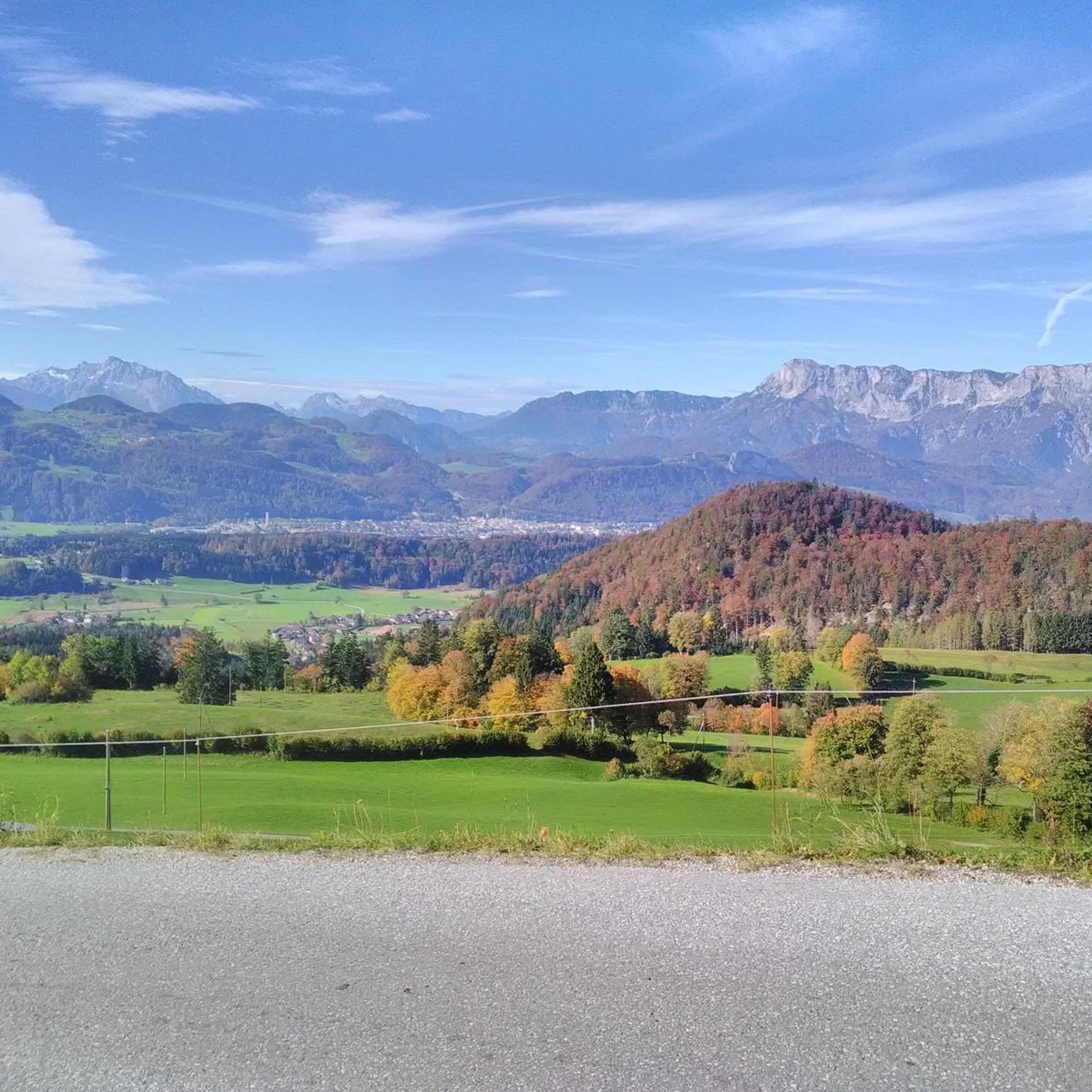
Mountaineering routes around Adnet are situated in the Salzburg region of Austria, characterized by its varied topography. The landscape features forested slopes, limestone formations, and elevated viewpoints offering expansive vistas. This area, part of the Bezirk Hallein, provides a diverse environment for outdoor activities.
Best mountaineering routes around Adnet
- The most popular mountaineering route is View of Schmittenstein – Schlenken Summit Cross loop from Zillreith, a 6.8 miles (11.0 km) trail that takes 4 hours 47 minutes to complete.…
Last updated: October 5, 2026
4.6
(11)
112
hikers
10.9km
04:47
650m
650m
Hard mountaineering route. Good fitness required. Sure-footedness, sturdy shoes and alpine experience required.
5.0
(3)
97
hikers
7.07km
03:17
580m
580m
Hard mountaineering route. Good fitness required. Sure-footedness, sturdy shoes and alpine experience required.

5.0
(4)
64
hikers
9.35km
03:27
400m
400m
Hard mountaineering route. Good fitness required. Sure-footedness, sturdy shoes and alpine experience required.
5.0
(2)
17
hikers
8.06km
03:19
560m
560m
Moderate mountaineering route. Good fitness required. Mostly accessible paths. Sure-footedness required.
5.0
(7)
37
hikers
7.27km
02:44
500m
500m
Moderate mountaineering route. Good fitness required. Easily-accessible paths. Suitable for all skill levels.
Get access to more routes and recommendations from other explorers.
Already have an account?
Our route recommendations are based on thousands of hikes, rides, and runs completed by other people on komoot.
Start today with a free account
Your next adventure awaits.
Tips from the Community


The Thürndl ruins are a listed ruin of a hilltop castle of a medieval fortification dating back to the 13th century.
1
0

There is very good ice cream here
0
0

GelatOK is one of the city's most popular ice cream parlors. It's especially known for its giant sundaes, which are both visually impressive and delicious. The portions are generous and often so large that they're perfect for sharing. The menu features classics like spaghetti ice cream, fruity variations with fresh fruit and creamy toppings, and unusual combinations. The offerings are complemented by Italian coffee, crêpes, and waffles. With its central location and cozy atmosphere, GelatOK is an ideal spot for anyone craving an exceptionally large and lovingly prepared sundae.
1
0
The Old Town Square is the historic heart of the city, surrounded by historic burgher houses with typical facades and arcades, the square conveys an atmospheric, almost southern flair. The square, with its cafés, small shops, and shady seating areas, invites visitors to linger and is often the venue for markets, concerts, and festivals. Nearby are the Keltenmuseum, the Salzachpromenade, and charming side streets with further historical details. For cyclists, the square offers an ideal backdrop for a break with cultural and culinary added value – right in the old town of Hallein.
2
0

Super delicious ice cream. You can get a sundae here for €65 (no idea how many people it serves). Otherwise, normal prices.
1
0

Cheese spaetzle on the Latschenalm
0
0

Frequently Asked Questions
How many mountaineering routes are available around Adnet?
There are over 140 mountaineering routes around Adnet, offering a wide range of options for different skill levels. You'll find everything from easy paths to challenging ascents.
What are the difficulty levels of mountaineering routes in Adnet?
The routes around Adnet cater to various abilities. There are 4 easy routes, 62 moderate routes, and 78 difficult routes, ensuring there's a suitable challenge for every mountaineer.
Are there any circular mountaineering routes in Adnet?
Yes, many routes around Adnet are designed as loops. For example, the Wieserhörndl Summit (1,567 m) – Wieserhörndl Summit loop from Sechserlandl is a moderate circular tour offering great views.
What natural landmarks or viewpoints can I discover along the routes?
The region boasts several natural highlights. You can explore the impressive Almbach Gorge, witness the powerful Sulzer Waterfall within the gorge, or visit the majestic Golling Waterfall. For panoramic views, consider routes leading to the Salzburger Hochthron or Nockstein Summit.
Are there any historical sites or points of interest near Adnet's mountaineering trails?
Yes, the area has historical significance. You can find the Thürndl Castle Ruins along one of the routes. Further afield, you might consider visiting the Berchtesgaden Salt Mine or the Obersalzberg Documentation Center and Bunker Complex.
What do other mountaineers appreciate about the routes around Adnet?
The routes around Adnet are highly rated by the komoot community, with an average score of 4.7 stars from over 400 reviews. Mountaineers often praise the varied terrain, from forested slopes to limestone formations, and the expansive views from elevated points like the Schlenken Summit Cross.
Are there family-friendly mountaineering options around Adnet?
While many routes are moderate to difficult, there are 4 easy routes available that could be suitable for families looking for a less strenuous experience. It's always best to check the specific route details for elevation and terrain to ensure it matches your family's capabilities.
Can I bring my dog on the mountaineering trails in Adnet?
Generally, dogs are welcome on many trails in the Austrian Alps, but regulations can vary. It's advisable to keep your dog on a leash, especially in nature protection areas or near grazing livestock. Always carry water for your dog and be prepared to clean up after them.
Are there routes with particularly good views?
Absolutely. Routes like the Ochsenberg Summit – View of the Dachstein loop from Obergrünweg offer stunning vistas, including distant views of the Dachstein massif. Many summit routes provide expansive panoramic views of the surrounding Salzburg region.
What is the best time of year for mountaineering in Adnet?
The best time for mountaineering in Adnet is typically from late spring to early autumn (May to October), when the weather is generally stable and trails are free of snow. Always check local weather forecasts and trail conditions before heading out, as conditions can change rapidly in mountainous terrain.
What about parking or public transport access for these routes?
Access points for routes often have designated parking areas, especially at popular trailheads. For public transport, options may be more limited, but some routes might be accessible via local bus services from larger towns like Hallein. It's recommended to research specific route starting points for detailed access information.
Where can I find refreshments or accommodation near the trails?
While Adnet itself is a smaller community, nearby towns like Hallein offer a range of cafes, restaurants, and accommodation options. Along some popular mountaineering routes, you might also find traditional mountain huts (Almhütten) that offer refreshments and sometimes overnight stays during the season.
Most popular attractions around Adnet

Get inspired with the komoot mobile app


Explore more
Browse the best Mountain Hikes & Routes in other regions.
