The best walks and hikes around Eathorpe
4.6
(502)
6,119
hikers
352
hikes
Hikes near Eathorpe explore the rolling Warwickshire countryside, following a network of public footpaths through open fields and along quiet country lanes. The region is characterized by its gentle terrain, with routes often following the banks of the River Leam or the towpaths of the Grand Union Canal. These walking routes connect several local villages, offering a variety of circular hikes through the agricultural landscape.
Best hiking trails around Eathorpe
- The most popular hiking route is The Red Lion, Hunningham – The Red Lion loop from Hunningham, a 4.0 mile (6.4 km) trail that takes about 1 hour 40 minutes to complete. This easy route is a good example of the pub walks near Eathorpe, starting and ending in the village of Hunningham.
- Another top favourite among local hiking enthusiasts is St John the Baptist Church loop from Hunningham, a moderate 5.2 mile (8.4 km) path. The trail traverses a quintessentially English landscape of open fields and peaceful woodlands.
- Local hiking enthusiasts also love the Rapeseed Fields – St Gregory's Church, Offchurch loop from Hunningham, a 9.8 mile (15.7 km) trail leading through farmland and connecting the villages of Hunningham and Offchurch, often completed in about 4 hours 10 minutes.
- Hiking around Eathorpe is defined by riverside paths, canal towpaths, and public footpaths through open farmland. The network of trails offers accessible options for various fitness levels, from short village loops to longer cross-country routes.
- The routes in Eathorpe are highly rated by the komoot community with an average score of 4.6 stars from more than 400 reviews. More than 5,700 hikers have used komoot to explore Eathorpe's varied terrain.
Last updated: October 9, 2026
4.6
(5)
11
hikers
6.15km
01:37
50m
50m
Easy hike. Great for any fitness level. Easily-accessible paths. Suitable for all skill levels.
4.1
(10)
30
hikers
Moderate hike. Good fitness required. Easily-accessible paths. Suitable for all skill levels.

5.0
(5)
21
hikers
3.81km
00:59
20m
20m
Easy hike. Great for any fitness level. Easily-accessible paths. Suitable for all skill levels.
3.0
(4)
11
hikers
15.7km
04:09
150m
150m
Moderate hike. Good fitness required. Easily-accessible paths. Suitable for all skill levels.
5.0
(2)
5
hikers
4.43km
01:09
30m
30m
Easy hike. Great for any fitness level. Easily-accessible paths. Suitable for all skill levels.
Get access to more routes and recommendations from other explorers.
Already have an account?
Our route recommendations are based on thousands of hikes, rides, and runs completed by other people on komoot.
Start today with a free account
Your next adventure awaits.


Tips from the Community


Located 400 meters north of the church, Hunningham Bridge is a stone arch bridge that crosses the River Leam and has its origins in the Medieval period. Interestingly, it was rebuilt in 1651 at a cost of 20 pounds.
1
0
The reign of Offa, the King of Mercia, lasted from 757 until his death in July 796, and it is believed that he established the church at Offchurch, since he had a hunting lodge or fortified residence nearby this area.
1
0
St. Michael's Church, originating from the Medieval era, underwent modifications during the 16th century, and a newer vestry has been added in recent times. There is an available drawing of the church dating back to 1820.
1
0

Cafe serving cake and hot drinks. Hours: Tuesday 10am–5pm Wednesday 10am–5pm Thursday 10am–5pm Friday 10am–5pm Saturday 9:30am–6pm Sunday 9:30am–6pm Monday 10am–5pm
0
0

As part of the creation of a new UK Mail facility at the Prologis Park Ryton, our client Prologis had created a temporary borrow pit as part of the works and inadvertently, created the perfect new home for a colony of Sand Martins Riparia riparia which moved in and successfully bred (2015). The birds were left to nest in peace after a wide exclusion zone was implemented but realising that the site was on the birds’ migration route together with the fact that the borrow pit couldn’t stay on site long-term, we worked with Prologis, Whiting Landscapes and the park rangers at nearby Ryton Pools Country Park to create a brand new permanent and purpose-built nesting site in this 100 acre site managed jointly between Warwickshire County Council and Warwickshire Wildlife Trust. The Sand Martin nesting wall was completed in March 2016 and this year has already had a couple of pairs taking an interest. As well as providing a large and safe nesting habitat, the 15m long structure also has a number of pre-formed swallow nest sites and a rear door inspection hatch so that the rangers can keep an eye on the nesting progress and carry out any necessary maintenance. To prevent predation by other wildlife such as stoats, an anti-predator baffle has been installed below the tunnels which have been constructed of plastic pipes. We also helped create the new information board which has been installed opposite the nesting wall to inform the local visitors to the country park about the new nesting site. It’s hoped that grizzled skipper butterflies will also benefit from the new structure as one of the food plants of the larvae stage – strawberries – are to be planted on the aggregate roof in the near future! Sand Martins are gregarious and therefore tend to nest in large colonies. They are Europe’s smallest hirundine (martins and swallows) and the insectivorous birds are summer visitors to the UK, over-wintering in Africa.
0
0
Frequently Asked Questions
Are the hiking trails around Eathorpe suitable for dogs?
Yes, the area around Eathorpe is generally dog-friendly. The numerous public footpaths through open fields and along quiet country lanes provide great opportunities for walking with your dog. However, always be mindful of livestock in fields and keep your dog on a lead where required. Many local pubs, like The Red Lion in Hunningham, are also known to be welcoming to dogs.
Can I find any family-friendly walks in the area?
Certainly. The gentle terrain makes Eathorpe ideal for family outings. For a shorter, manageable walk that's great for all ages, consider the The Red Lion – The Red Lion, Hunningham loop from Hunningham. It's a relatively flat and easy route. Additionally, Ryton Pools Country Park offers surfaced paths and two play areas, making it a perfect destination for a family day out.
Are there any good pub walks starting near Eathorpe?
Yes, pub walks are a popular activity in this part of Warwickshire. Many routes are designed to start and end at a traditional country pub. A classic example is The Red Lion, Hunningham – The Red Lion loop from Hunningham, which allows you to enjoy a scenic walk before or after a meal.
What are the options for circular walks?
Eathorpe is an excellent starting point for a variety of circular walks. You can find routes that connect the neighbouring villages of Hunningham and Wappenbury, often called the 'three villages' walk. For a moderately challenging loop that showcases the classic English landscape, the St John the Baptist Church loop from Hunningham is a great choice, taking you through open fields and peaceful woodlands.
Where can I park for walks around Eathorpe?
For most walks starting in the villages, on-street parking is the primary option. Please park considerately, respecting local residents and ensuring access is not blocked. For routes starting from a pub, you can often use their car park if you are a patron. For a dedicated car park, Ryton Pools Country Park offers paid parking and is a convenient starting point for several trails.
Are the trails accessible by public transport?
Accessing the trailheads directly by public transport can be challenging as Eathorpe is a small village. Bus services may be infrequent. A common approach for visitors is to travel to nearby larger towns like Royal Leamington Spa, which has a train station, and then take a taxi or a local bus service to a starting point like Hunningham or Eathorpe.
Are there any walks along rivers or canals?
Yes, the region is known for its pleasant waterside walks. Many trails follow the banks of the River Leam, offering serene views. The Grand Union Canal also passes nearby, and its flat towpaths provide easy, accessible walking routes where you can watch narrowboats pass by. Some routes combine sections of the river, canal, and footpaths for a varied experience.
I'm looking for a longer hike. Are there any long-distance options?
The area caters well to those seeking a longer challenge. You can find hikes over 15 km that connect multiple villages and landscapes. The Rapeseed Fields – St Gregory's Church, Offchurch loop from Hunningham is a substantial walk of nearly 16 km. For an even longer day out, the 18 km Radford Skew Viaduct – Rapeseed Fields loop from Hunningham offers an extensive tour of the local countryside.
What kind of scenery can I expect on the trails?
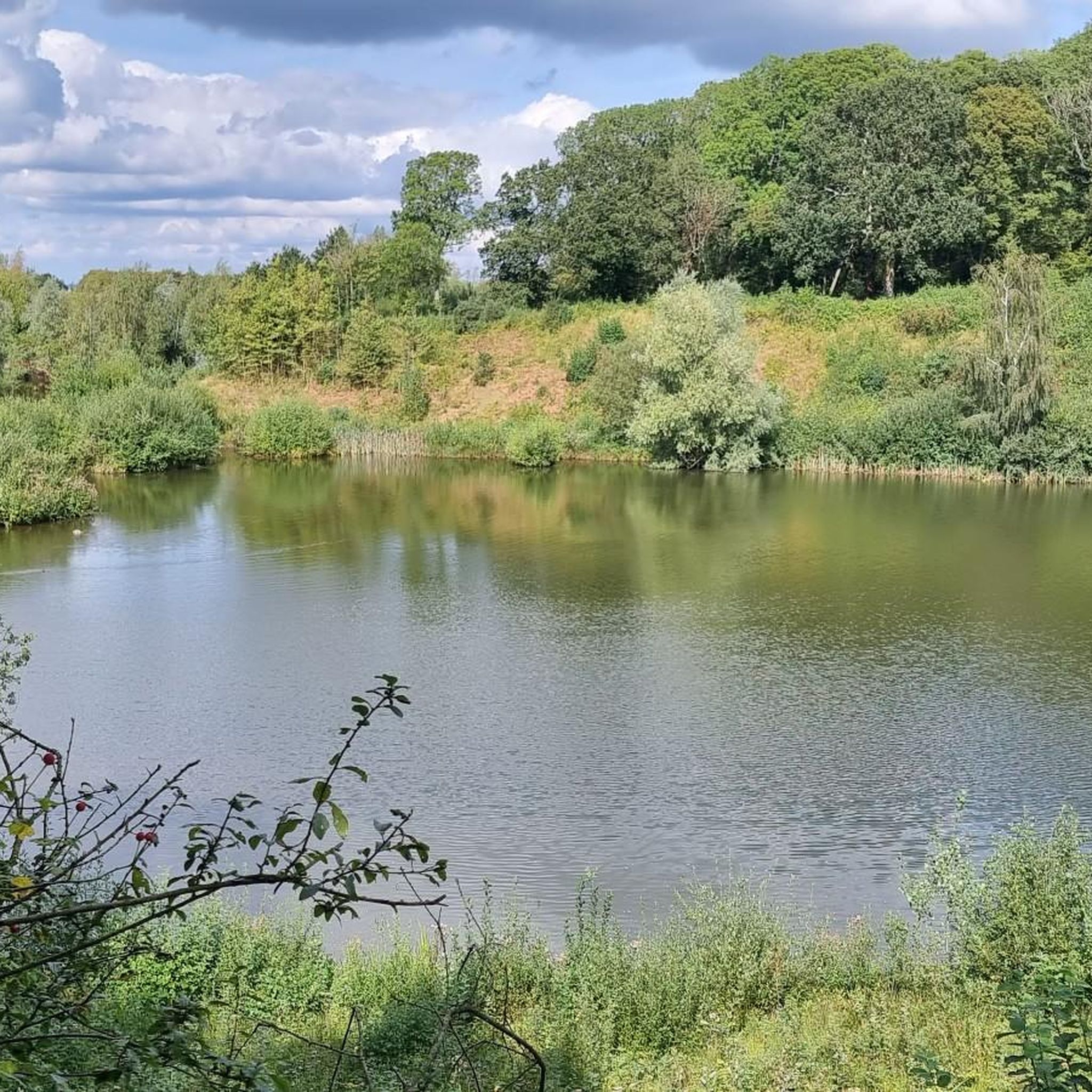
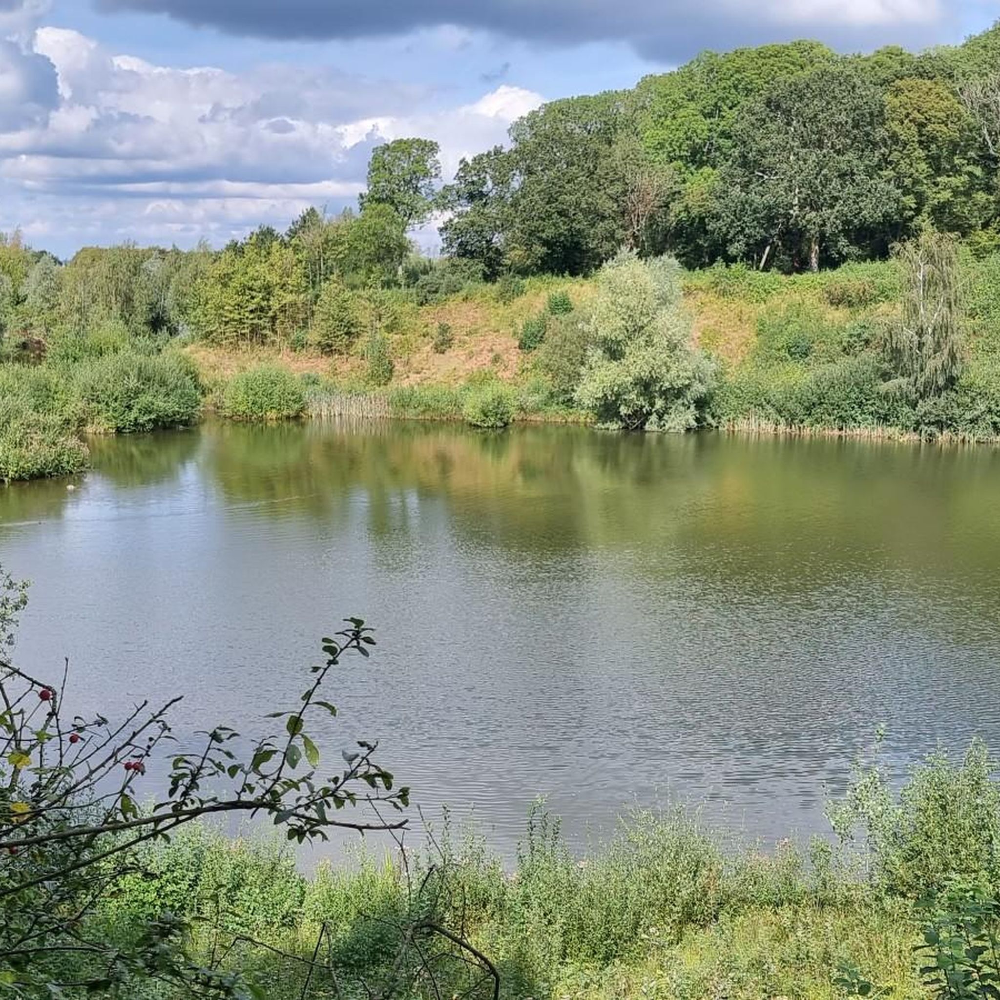
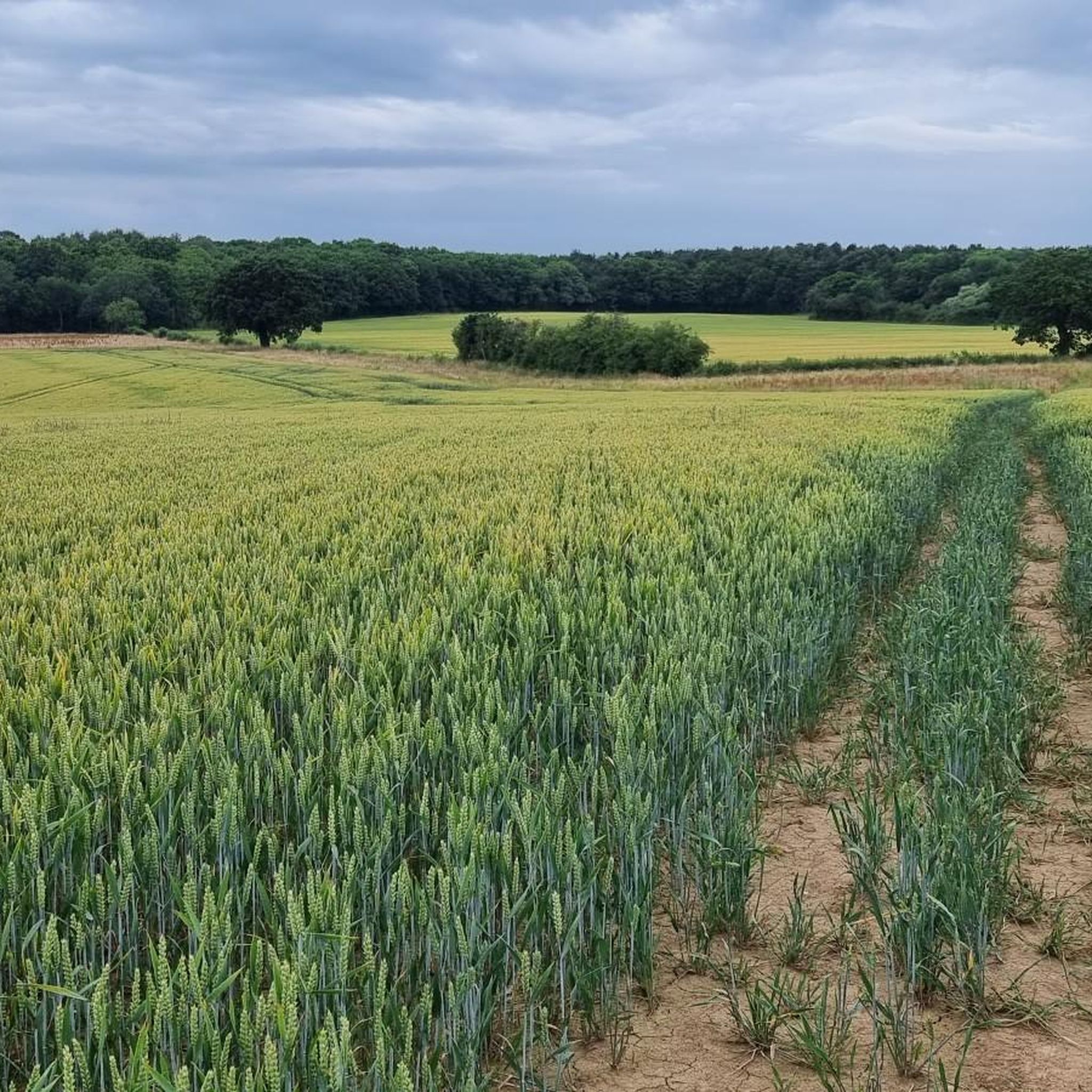
The hiking around Eathorpe takes you through classic Warwickshire countryside. Expect rolling hills, open agricultural fields which are often bright yellow with rapeseed in the spring, quiet country lanes, and sections through peaceful woodlands. You'll also encounter the scenic River Leam and the historic Grand Union Canal on many routes.
How difficult are the hikes around Eathorpe?
The trails offer a good mix for different fitness levels, but the terrain is generally gentle without major climbs. There are over 350 routes to explore, with the majority rated as easy. About a third of the trails are considered moderate, offering a bit more distance or slightly more varied terrain, while very few are rated as difficult.
What do other hikers say about the trails in this area?
The walking routes around Eathorpe are highly regarded by the komoot community. Hikers often praise the well-maintained public footpaths, the peaceful atmosphere of the countryside, and the charm of the villages connected by the trails. The combination of riverside paths, canal towpaths, and woodland walks is frequently mentioned as a highlight.
Most popular attractions around Eathorpe

Get inspired with the komoot mobile app


Explore more
Browse the best Hikes in other regions.
