The best mountain hikes around Turnau
4.8
(50)
953
hikers
38
hikes
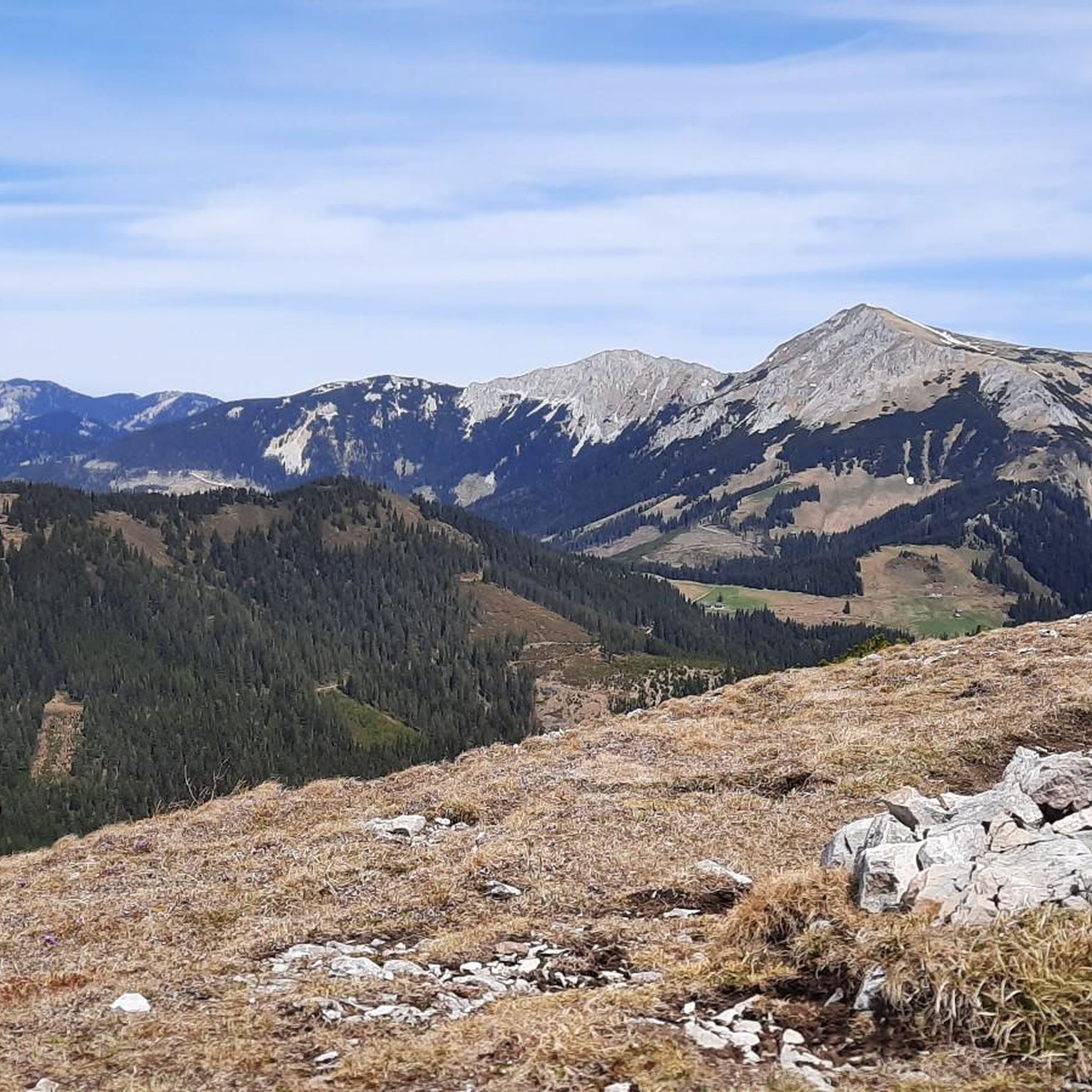
Mountaineering routes around Turnau traverse a diverse alpine landscape characterized by prominent peaks, forested slopes, and high-altitude plateaus. The region offers a mix of challenging ascents and more accessible paths through valleys and along ridges. These routes often lead to panoramic viewpoints, showcasing the rugged natural beauty of the area. The terrain includes rocky sections, alpine meadows, and dense woodlands, providing varied experiences for mountaineers.
Best mountaineering routes around Turnau
- The most popular mountaineering route is Graf-Meran-Haus – Hohe Veitsch…
Last updated: October 5, 2026
5.0
(3)
89
hikers
Moderate mountaineering route. Good fitness required. Mostly accessible paths. Sure-footedness required.
5.0
(1)
42
hikers
13.4km
05:49
810m
810m
Hard mountaineering route. Very good fitness required. Sure-footedness, sturdy shoes and alpine experience required.

5.0
(1)
32
hikers
14.4km
06:12
1,080m
1,080m
Hard mountaineering route. Very good fitness required. Sure-footedness, sturdy shoes and alpine experience required.
4.5
(2)
43
hikers
11.8km
05:13
920m
920m
Hard mountaineering route. Very good fitness required. Mostly accessible paths. Sure-footedness required.
5.0
(2)
20
hikers
13.7km
05:35
900m
910m
Hard mountaineering route. Very good fitness required. Sure-footedness, sturdy shoes and alpine experience required.
Get access to more routes and recommendations from other explorers.
Already have an account?
Our route recommendations are based on thousands of hikes, rides, and runs completed by other people on komoot.
Start today with a free account
Your next adventure awaits.
Popular around Turnau
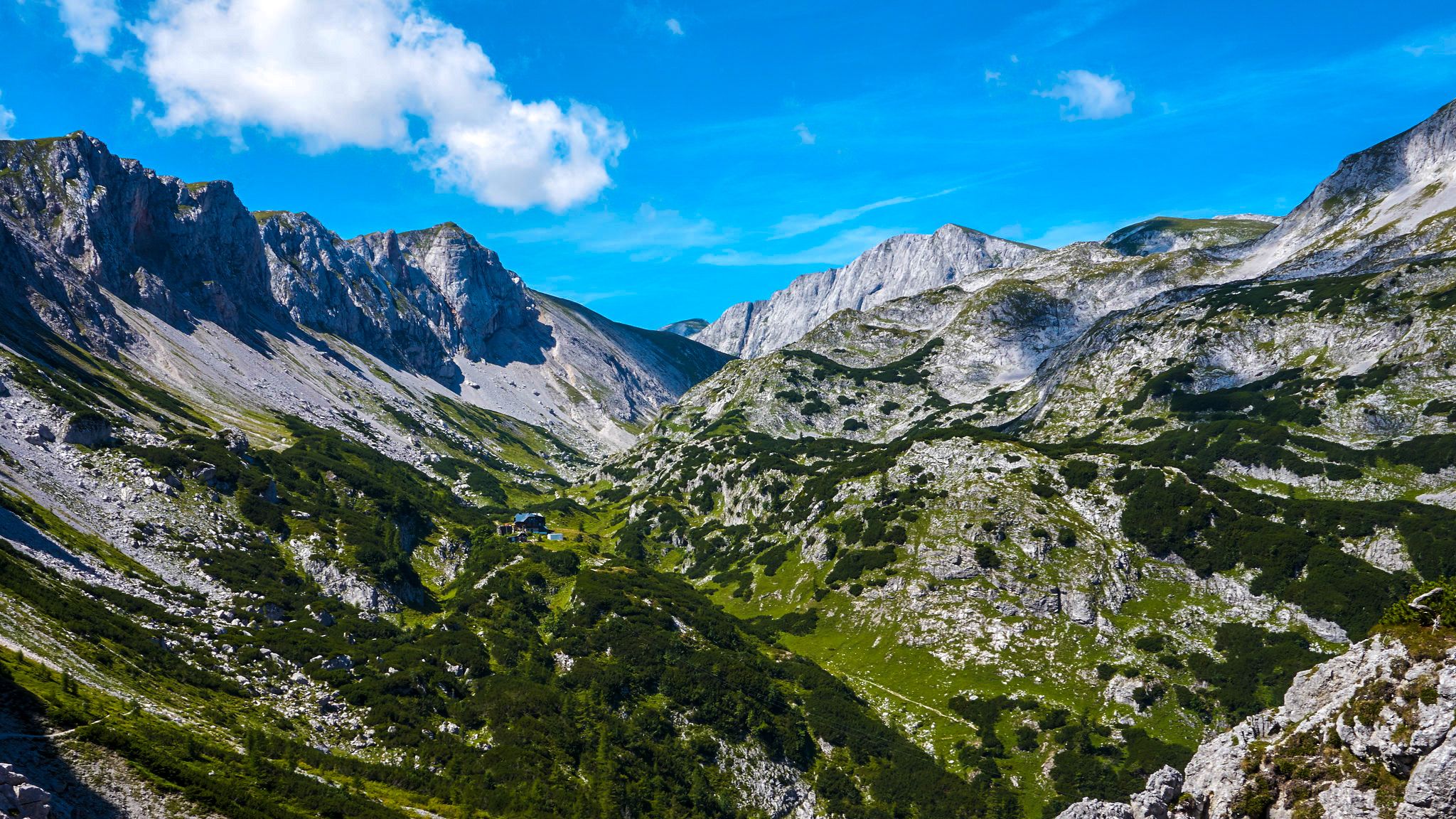
The BergZeitReise – a beautiful long-distance hiking trail across Styria
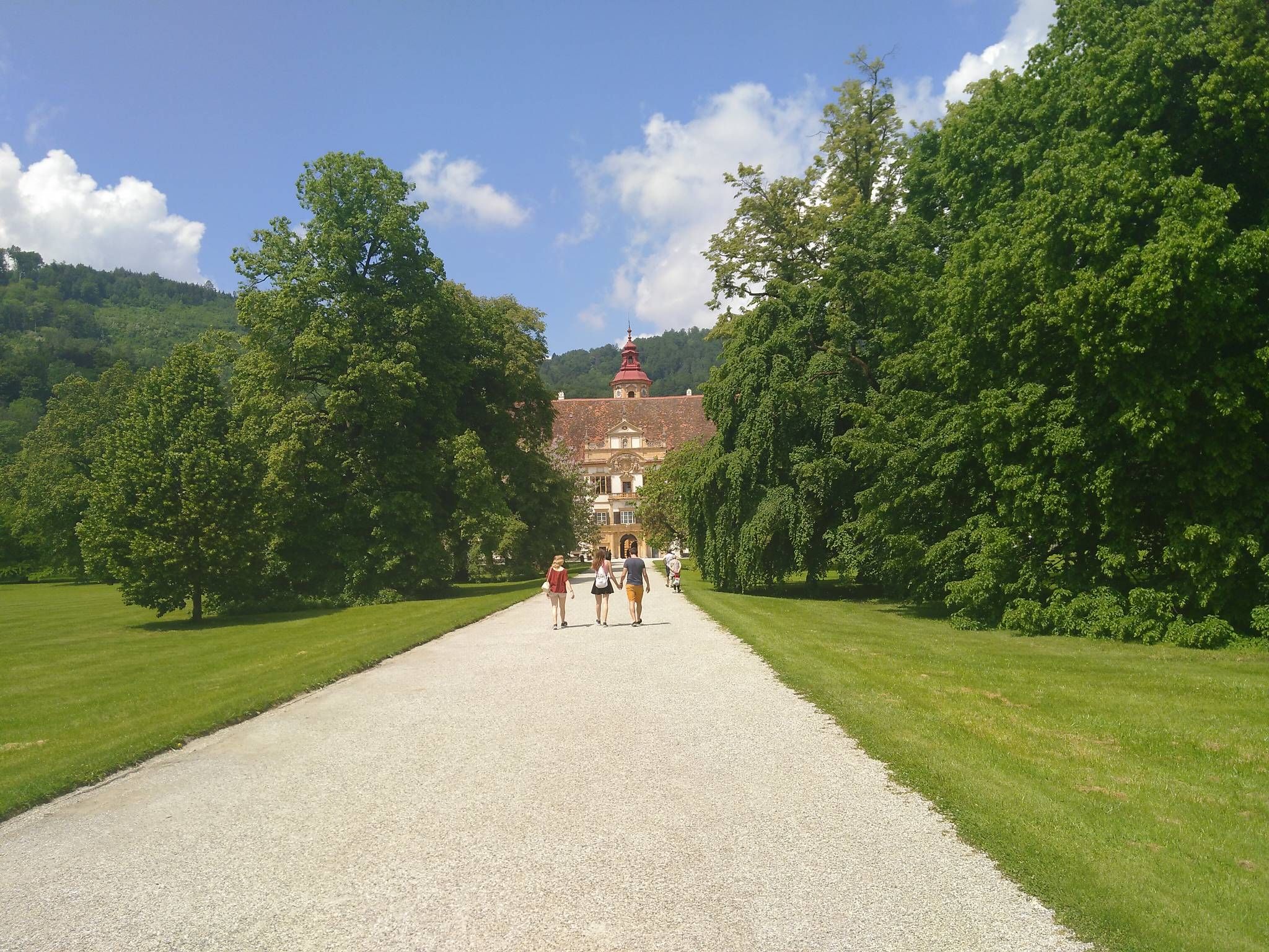
The Styrian Mariazell Way – a pilgrim's hike through southeastern Austria
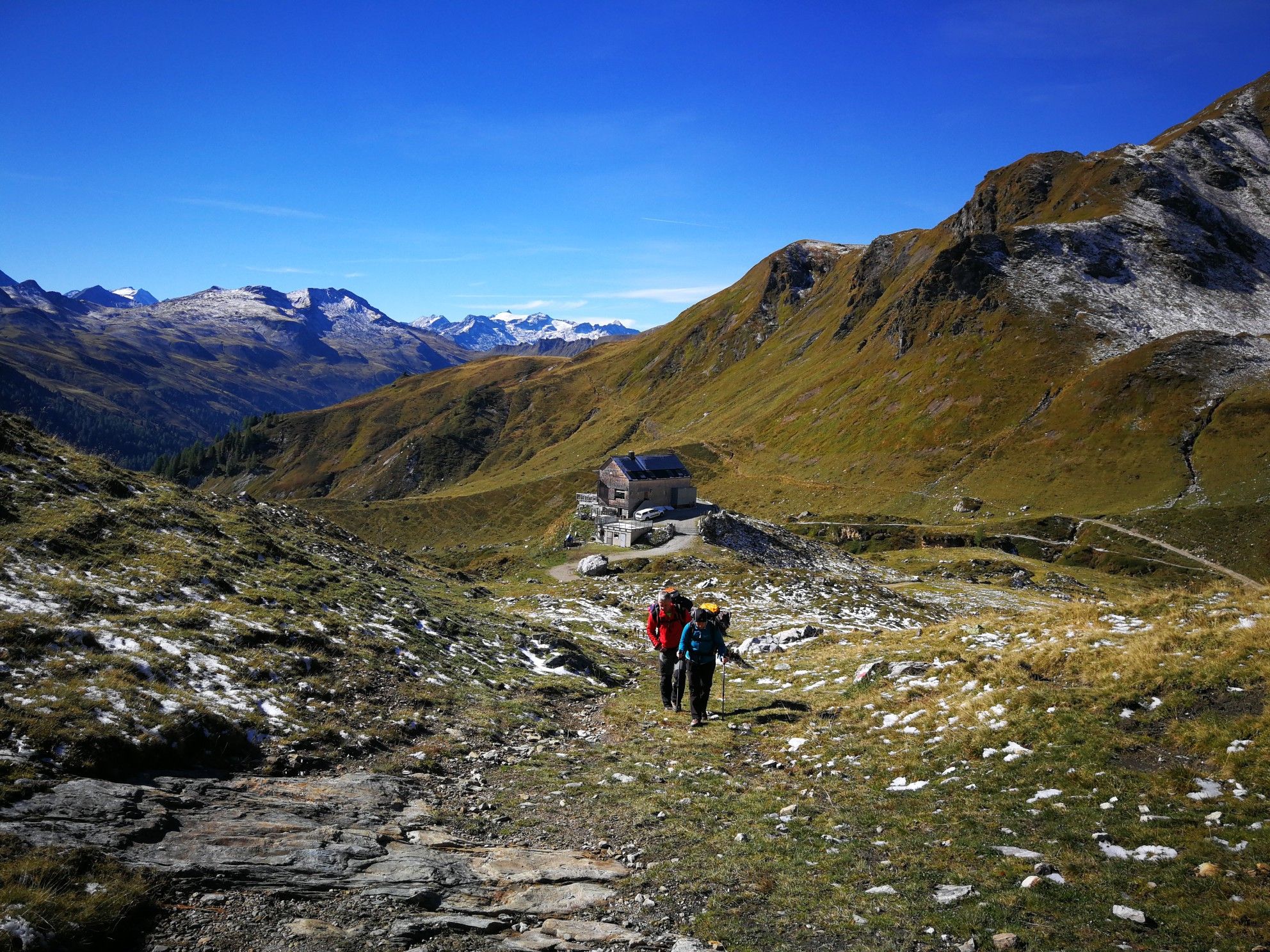
Lower Austria to Carinthia — our favourite huts in Austria

Discover Styria in Austria on foot – ‘From Glacier to Wine’ North Route
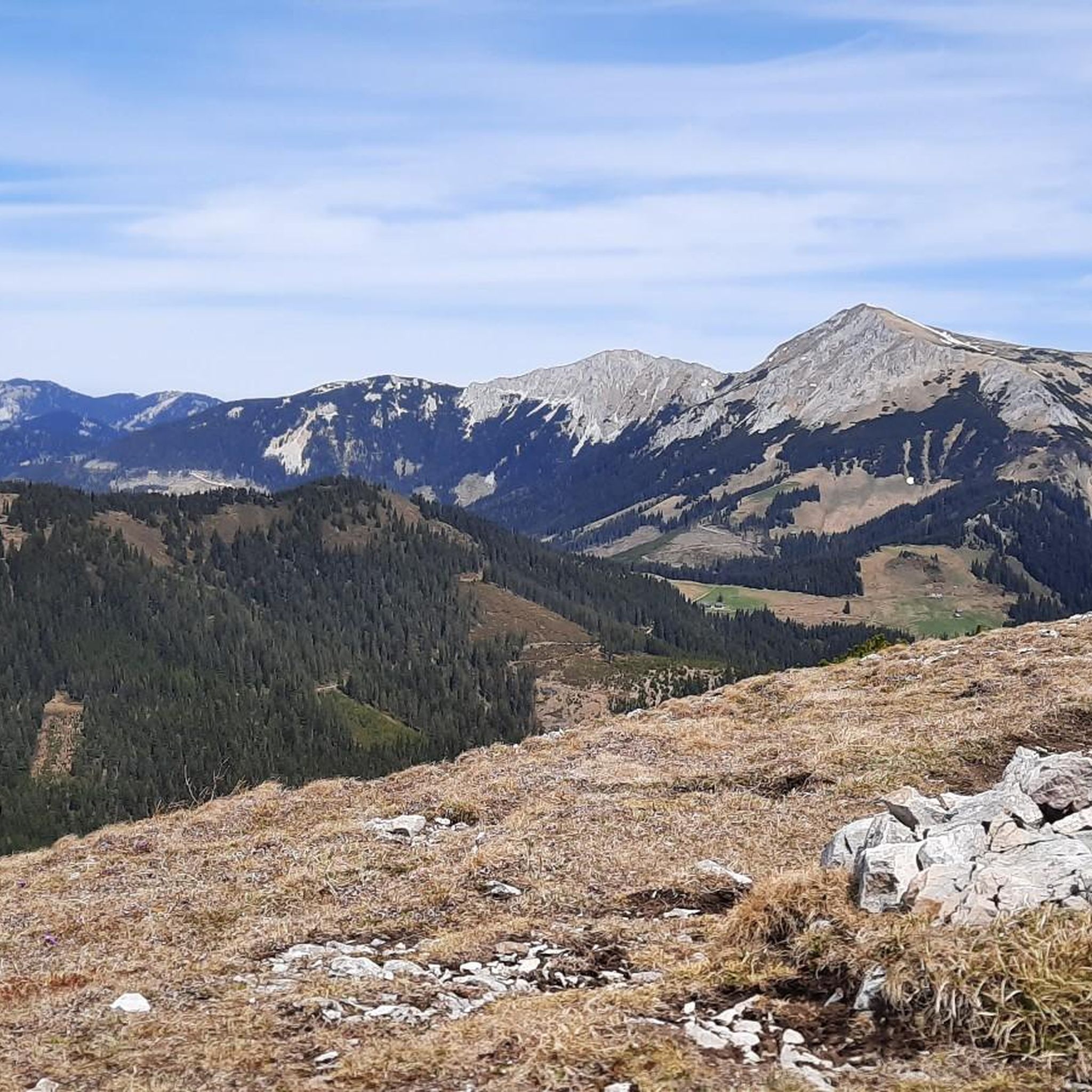
Hiking around Turnau
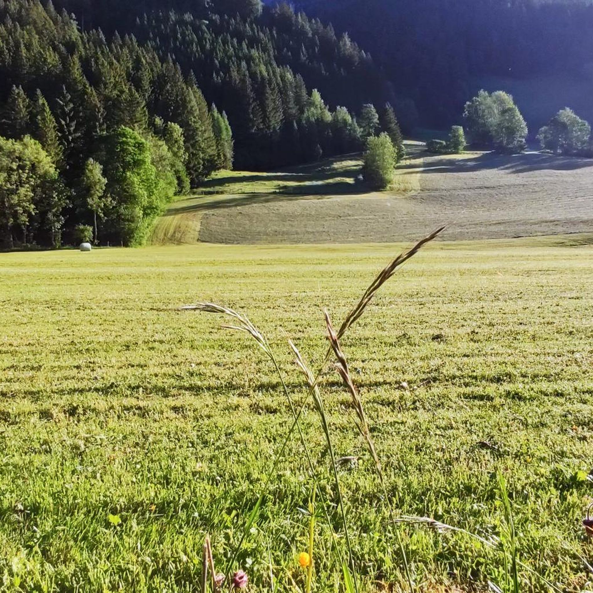
Road Cycling Routes around Turnau
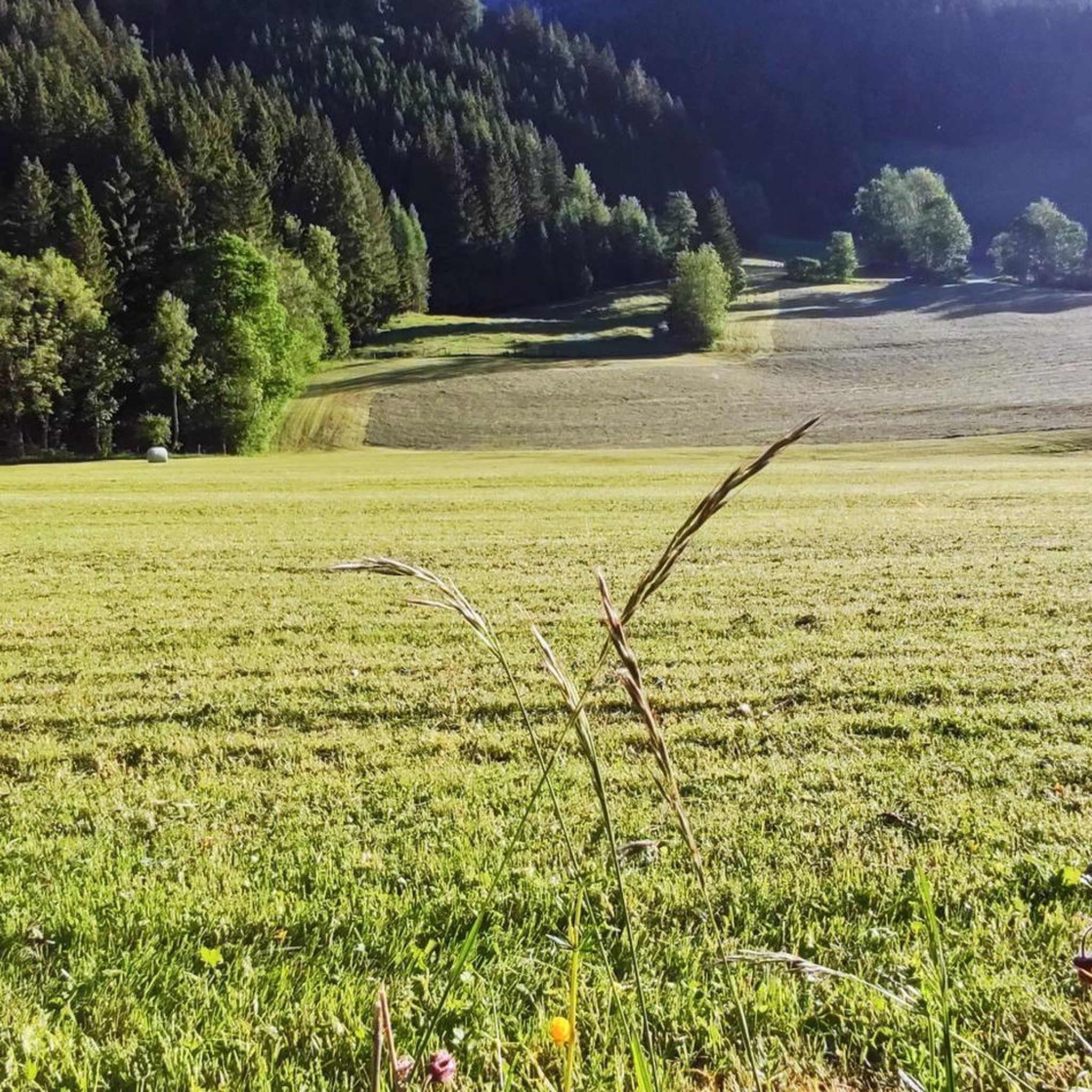
Cycling around Turnau
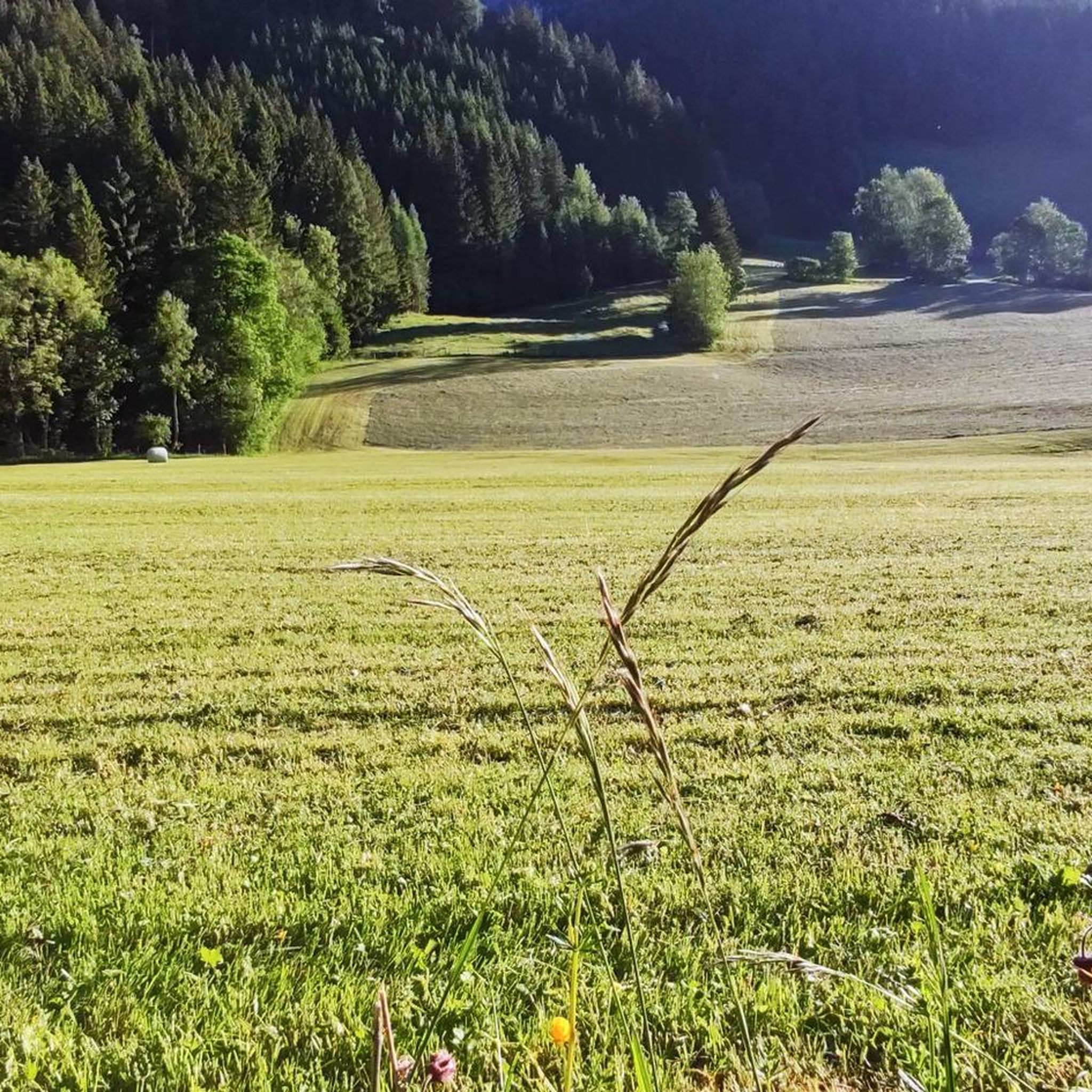
MTB Trails around Turnau
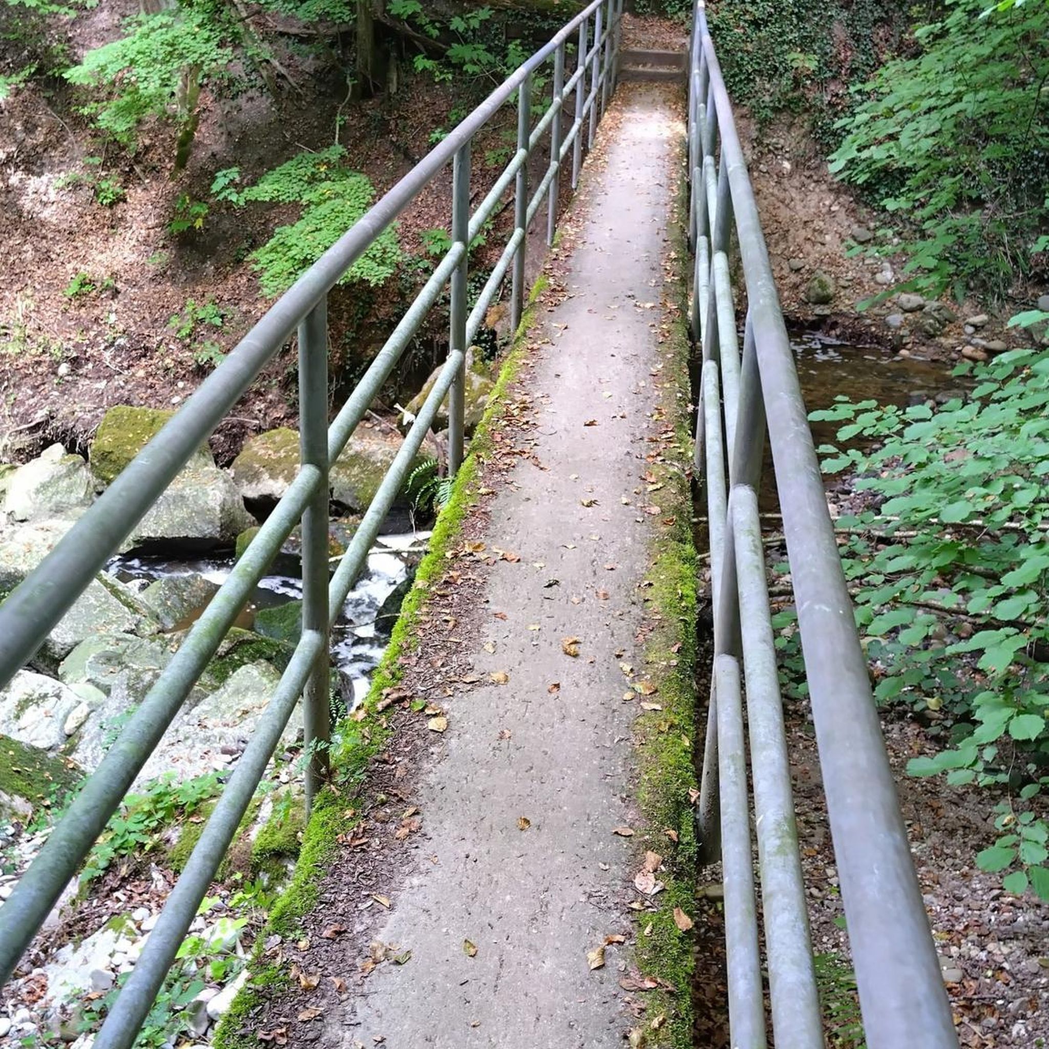
Gravel biking around Turnau
Running Trails around Turnau
Other adventures around Turnau


Tips from the Community

The hut is located directly on the descent from the Voistaler Hütte to Seewiesen. It can be reached in approx. 1 hour. Please inquire about opening hours, it was closed on Monday.
0
0
Historic site on the descent from the Voistaler Hütte via the Dullwitz to Seewiesen. The cross stands directly next to the path, nestled between the mighty Hochschwab walls.
0
0

The Seebodenhütte (1,810 m) is picturesquely situated on the high plateau of the Hohe Veitsch and is a beautiful resting spot on the way to the summit. Around the hut, the landscape opens up, offering wide views over the surrounding mountain world of the Hochsteiermark. After a longer ascent, the hut is an ideal place for a break before continuing across the plateau. The quiet, open landscape, which already has a distinctly alpine character, is particularly beautiful here.
2
0
The Hohe Veitsch (1,981 m) is the highest point of the Veitsch massif and a magnificent summit destination in Hochsteiermark. Around the summit cross, the landscape opens up and, with good visibility, the view extends far beyond the surrounding mountains – including towards Hochschwab, Schneealpe, and Rax. Particularly beautiful is the contrast between the wooded ascents and the vast, almost high-alpine landscape on the plateau. A summit where the altitude meters are definitely worth it and where you'll gladly take a longer break.
2
0
The Hohe Veitsch (1,981 m) is the highest point of the Veitsch massif and a great summit destination in the Hochsteiermark region. Around the summit cross, the landscape opens up and, with good visibility, the view extends far over the surrounding mountain world – including towards Hochschwab, Schneealpe, and Rax. The contrast between the wooded ascents and the vast, almost high-alpine landscape on the plateau is particularly beautiful. A summit where the altitude meters are definitely worth it and where you like to take a longer break.
3
0

Nice stopover for a short break.
1
0
Nice stopover near the Voisthalerhütte. Interesting history.
1
0
Great, striking location. Impressively close to the high rock face...
1
0
Frequently Asked Questions
How many mountaineering routes are available around Turnau?
There are over 40 mountaineering routes around Turnau, offering a wide range of options for different skill levels. The majority of these routes are considered challenging, providing ample opportunities for experienced mountaineers.
Are there any easy mountaineering routes for beginners in Turnau?
While most routes around Turnau are challenging, there is at least one easy mountaineering route available. It's always recommended to check the route details and difficulty ratings on komoot before heading out to ensure it matches your experience level.
What is the typical duration for mountaineering routes in the Turnau region?
Route durations vary significantly based on difficulty and length. For example, the moderate Graf-Meran-Haus – Hohe Veitsch Summit loop typically takes around 4 hours 10 minutes. More challenging routes, like the Voisthaler-Hütte – Obere Dullwitz loop, can require a full day, often around 7 hours or more.
Are there challenging mountaineering routes for experienced climbers around Turnau?
Yes, Turnau is well-known for its challenging mountaineering routes. Over 30 routes are rated as difficult, featuring significant elevation gains and extensive distances. These routes often lead through high alpine terrain, such as the Hohe Veitsch Summit – Graf-Meran-Haus loop from Burscher, which is a demanding 14.4 km trail.
What kind of natural landmarks can I expect to see along the mountaineering routes?
The routes around Turnau offer stunning natural beauty and lead to several prominent landmarks. You can encounter impressive summits like the Hochschwab Summit, Hohe Veitsch summit cross, and Fölzstein Summit Cross. These provide panoramic views of the surrounding alpine landscape.
Are there any circular mountaineering routes in Turnau?
Many of the mountaineering routes around Turnau are circular, allowing you to start and end at the same point. Examples include the popular Graf-Meran-Haus – Hohe Veitsch Summit loop and the challenging Graf-Meran-Haus – Hohe Veitsch Summit loop from Die Gams.
What is the best time of year for mountaineering in Turnau?
The best time for mountaineering in Turnau is typically from late spring to early autumn (June to September) when the weather is more stable and trails are generally free of snow. However, conditions can change rapidly in alpine environments, so always check the forecast before you go.
Are there mountain huts or cafes along the mountaineering trails for refreshments?
Yes, some routes pass by mountain huts where you can find refreshments. For instance, the Graf-Meran-Haus – Hohe Veitsch Summit loop involves the Graf-Meran-Haus, and the Voisthaler-Hütte – Obere Dullwitz loop passes by the Voisthaler-Hütte, both of which typically offer food and drink.
What do other mountaineers say about the routes in Turnau?
The mountaineering routes in Turnau are highly rated by the komoot community, with an average score of 4.8 stars from over 40 reviews. Users often praise the diverse alpine landscape, the challenging ascents, and the rewarding panoramic views from the summits.
Are there any less crowded mountaineering options in Turnau?
While popular routes can see more traffic, exploring some of the less-traveled paths or visiting during off-peak times (weekdays, early mornings) can offer a more serene experience. With over 40 routes available, there are many opportunities to find quieter trails.
What should I wear for mountaineering in Turnau?
Given the alpine environment, it's crucial to wear appropriate layers, including moisture-wicking base layers, insulating mid-layers, and a waterproof/windproof outer shell. Sturdy hiking boots with good ankle support are essential, along with a hat, gloves, and sun protection. Always be prepared for sudden weather changes.
Are there any family-friendly mountaineering routes in Turnau?
For families, it's best to look for routes explicitly marked as easy or moderate with shorter durations and less elevation gain. While most routes in Turnau are challenging, there is at least one easy route that might be suitable for families with some hiking experience. Always check the specific route details for suitability.
Most popular routes around Turnau
Most popular attractions around Turnau

Get inspired with the komoot mobile app


Explore more
Browse the best Mountain Hikes & Routes in other regions.
