The best mountain hikes around Übelbach
118
hikers
14
hikes
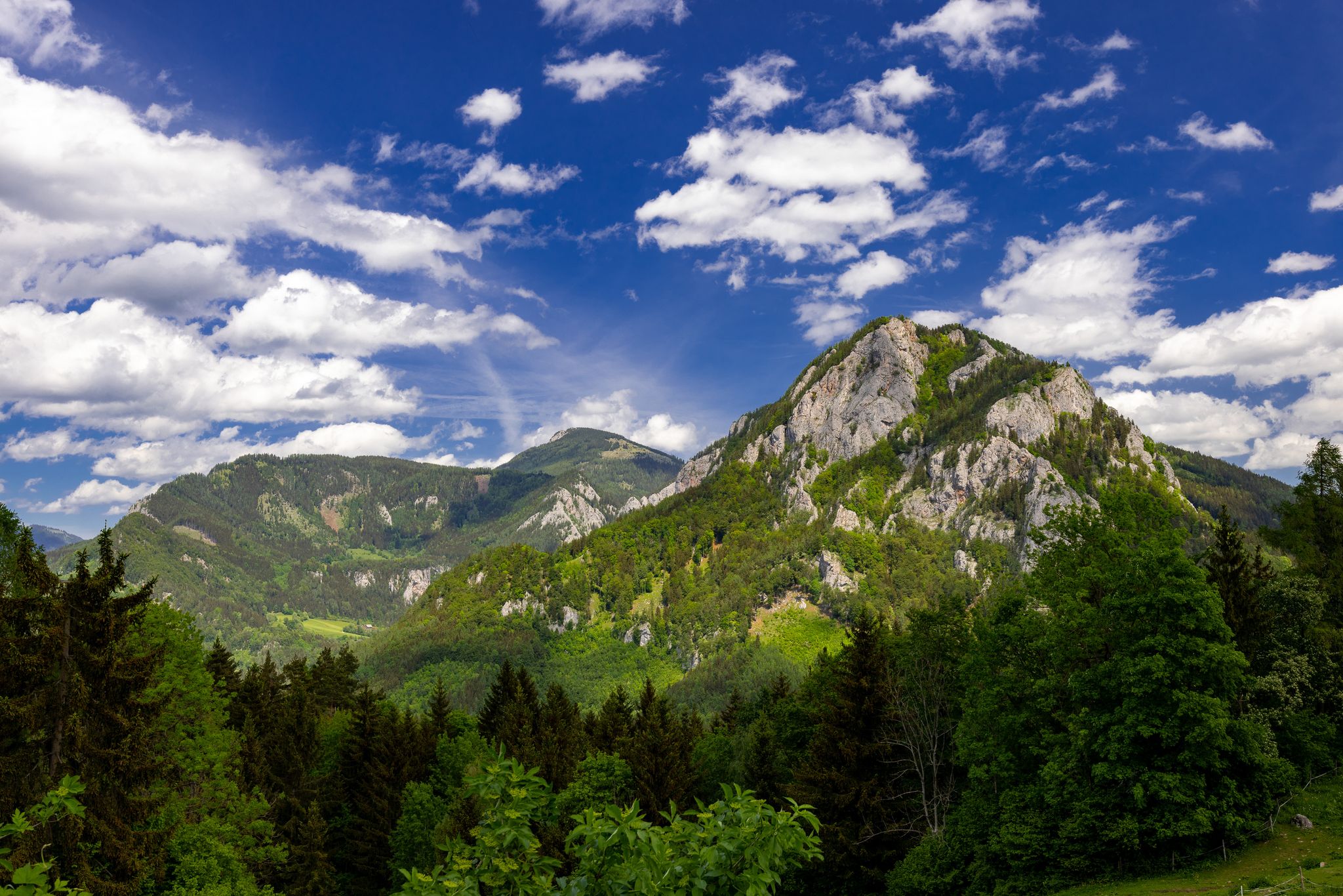
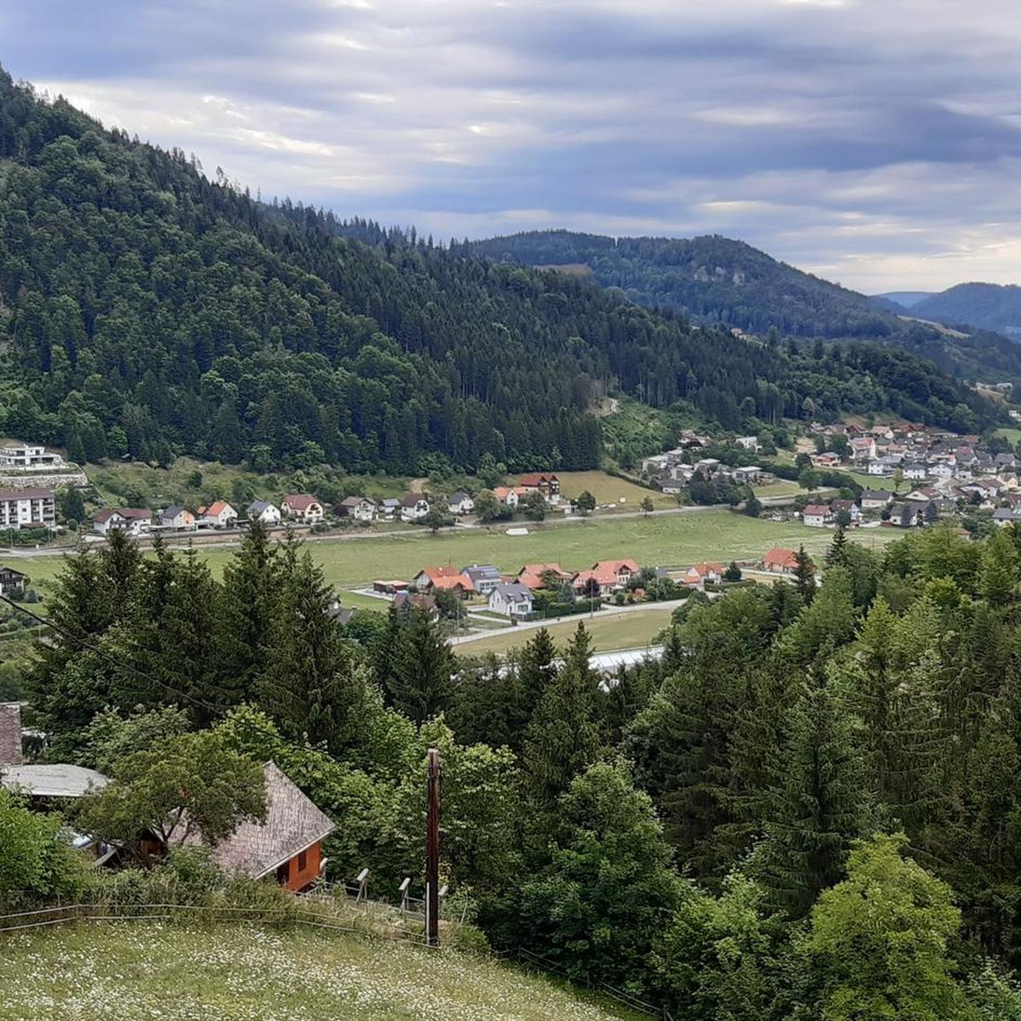
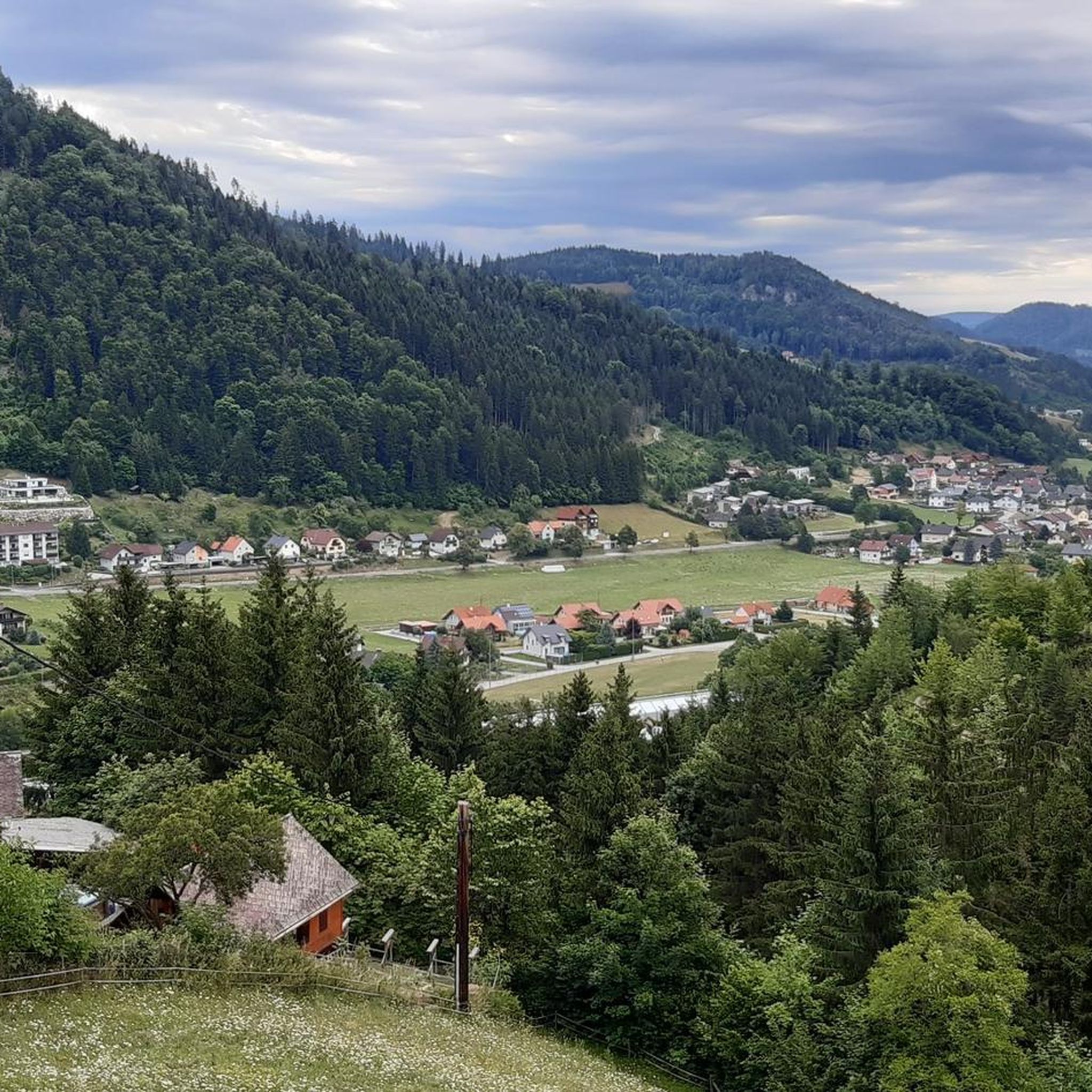
Mountaineering routes around Übelbach are situated in a side valley of the Middle Mur Valley in Styria, Austria, characterized by its position within the foothills of the Eastern Alps. The region features gentle mountain ridges, dense forests, and clear rivers, with prominent peaks such as the Lenzmoarkogel, Speikkogel, and Lärchkogel. The landscape offers a diverse topography, including the Mugel mountain, known for its panoramic views, and the Gleinalm region, which provides a network of alpine and forest paths.
Best mountaineering…
Last updated: July 9, 2026
19
hikers
9.73km
03:39
570m
580m
Moderate mountaineering route. Good fitness required. Mostly accessible paths. Sure-footedness required.
23
hikers
Moderate mountaineering route. Good fitness required. Mostly accessible paths. Sure-footedness required.

Sign up for free
7
hikers
10.0km
03:51
710m
710m
Moderate mountaineering route. Good fitness required. Easily-accessible paths. Suitable for all skill levels.
7
hikers
16km
06:53
1,120m
1,120m
Hard mountaineering route. Very good fitness required. Mostly accessible paths. Sure-footedness required.
7
hikers
Moderate mountaineering route. Good fitness required. Mostly accessible paths. Sure-footedness required.
Get access to more routes and recommendations from other explorers.
Sign up for free
Already have an account?
Our route recommendations are based on thousands of hikes, rides, and runs completed by other people on komoot.
Start today with a free account
Your next adventure awaits.
Login or Signup
Popular around Übelbach

Central Alps Trail Eastern Section – Discover Austria

North-South Trail through Austria – Small country, big paths!
Discover Austria’s green heart – hike in the Graz adventure region
Cycling around Übelbach
Road Cycling Routes around Übelbach
Hiking around Übelbach
MTB Trails around Übelbach
Running Trails around Übelbach

Gravel biking around Übelbach
Other adventures around Übelbach


Tips from the Community

When the weather is clear, you can enjoy a wonderful mountain panorama from the Hochschwab to the Groß Glockner.
0
0

Nice little parking lot.
2
0
Nice place to take a break.
1
0
Very nice view, take your time and enjoy.
3
0
Very nice view from above, highly recommended.
1
0

It's not far to the summit...
3
0
I did the hike on Thursday because hurricane-force winds were forecast in the mountains on Friday. I was very surprised when I had to brave hurricane-force winds near the summit on Thursday afternoon, especially at the summit. The storm was so strong that I had trouble standing upright. In addition, the hurricane almost knocked over the electric jeep, even though it weighs about 7 kilograms. The storm also almost tore the camera out of my hands. But that didn't stop me from enjoying climbing the summit. The view from the Lärchkogel is fantastic. Next summer I will definitely hike over the Lärchkogel to the Speikkogel.
3
0
This place provides drinking water, seating and a toilet.
3
0
Frequently Asked Questions
How many mountaineering routes are available around Übelbach?
There are over a dozen mountaineering routes around Übelbach, offering a variety of experiences for different skill levels. You'll find a good mix of moderate and difficult trails to explore the region's diverse landscape.
What kind of terrain can I expect on mountaineering routes in Übelbach?
The mountaineering routes around Übelbach are characterized by gentle mountain ridges, dense forests, and clear rivers, set within the foothills of the Eastern Alps. You'll encounter a mix of alpine and forest paths, with prominent peaks like the Lenzmoarkogel, Speikkogel, and Lärchkogel offering diverse topography and panoramic views.
Are there any easy mountaineering routes suitable for beginners or families in Übelbach?
While the guide primarily features moderate to difficult mountaineering routes, the Gleinalm region is known for its gentle mountain ridges and paths suitable for family hikes. For a dedicated family experience, Übelbach also offers a "Kinder-Erlebnisweg" along a stream with play and discovery stations. For a moderate introduction to the region's peaks, consider the Schartnerkogel – Gamskogel loop from Deutschfeistritz.
Are there any circular mountaineering routes in the Übelbach area?
Yes, many routes in the Übelbach area are designed as loops, allowing you to start and end at the same point. Examples include the popular Rest Area at Cabin 19 – Lärchkogel Summit (1,894 m) loop from Geierkögerl, which offers expansive alpine views, or the Mountaineering loop from Lärchkogel Winterparkplatz.
What are some notable peaks or viewpoints I can reach on a mountaineering tour?
The region boasts several peaks offering magnificent views. The Mugel summit, marked by the Mugel-Gipfelkreuz, provides superb panoramic vistas. The Ternbachkogel-Gipfel also offers extensive views over the entire Murtal on clear days. For a challenging ascent to a prominent peak, consider the Speikkogel – Gleinalm Schutzhaus loop from Hoyer.
Are there mountain huts or places to rest along the mountaineering routes?
Yes, the region has several mountain huts that serve as excellent places for rest and refreshment. The Gleinalm Schutzhaus and the Mugel-Schutzhaus are prominent options, often offering regional cuisine. The Gleinalm Schutzhaus is typically open seasonally from mid-May to mid-September. You might also encounter the Mühlbacherhütte or Roatmoaralm on your tours.
What is the best time of year for mountaineering in Übelbach?
The best time for mountaineering in Übelbach is generally from late spring to early autumn, roughly mid-May to mid-September, when mountain huts like the Gleinalm Schutzhaus are open. During these months, you can expect more favorable weather conditions and accessible trails. Always check local weather forecasts before heading out.
Are there any interesting natural landmarks or attractions to see near the routes?
Absolutely! Beyond the stunning mountain scenery, you can explore several natural landmarks. The Mugel Summit and Ternbachkogel Summit offer incredible views. For a unique geological experience, the Lurgrotte Cave Entrance is also nearby. You might also encounter the dramatic Kesselfall Gorge.
Can I bring my dog on mountaineering routes in Übelbach?
Many mountaineering routes in the Übelbach region are dog-friendly, allowing you to enjoy the trails with your canine companion. However, it's always advisable to keep your dog on a leash, especially in alpine pastures where livestock may be present, and to check for any specific local regulations or protected areas before your tour. Ensure your dog is fit for the chosen route's difficulty and duration.
Are there any routes that delve into the local history or specific themes?
Yes, the region offers themed trails that provide insights into local history and nature. The "Silberwanderweg" explores the area's mining history, while the "Wasserthemenweg" highlights the importance of water in the landscape. These trails offer a different perspective on the region beyond just summiting peaks.
What is the difficulty level of mountaineering routes around Übelbach?
The mountaineering routes around Übelbach range from moderate to difficult. There are 9 moderate routes, suitable for those with some hiking experience, and 5 difficult routes for more seasoned mountaineers seeking a challenge. For example, the Jöllersattel loop from Frohnleiten is a moderate option, while the Speikkogel – Gleinalm Schutzhaus loop from Hoyer is considered difficult.
Most popular attractions around Übelbach

Get inspired with the komoot mobile app


Explore more
Browse the best Mountain Hikes & Routes in other regions.
