The best mountain hikes around Trofaiach
5.0
(53)
1,125
hikers
16
hikes
Mountaineering routes around Trofaiach traverse a landscape characterized by the eastern Alps, featuring prominent peaks, dense forests, and alpine meadows. The region offers varied terrain, from steep ascents to high-altitude traverses, with numerous opportunities to experience significant elevation changes. Waterfalls and mountain huts are common features, providing both scenic interest and essential waypoints for longer expeditions.
Best mountaineering routes around Trofaiach
- The most popular mountaineering route is Reichenstein hut – Eisenerz Reichenstein loop from Zur Hirnalm, a 10.1 miles…
Last updated: October 5, 2026
5.0
(1)
79
hikers
16.8km
07:39
1,300m
1,300m
Hard mountaineering route. Very good fitness required. Sure-footedness, sturdy shoes and alpine experience required.
5.0
(3)
35
hikers
15.1km
07:21
1,190m
1,190m
Hard mountaineering route. Very good fitness required. Sure-footedness, sturdy shoes and alpine experience required.

5.0
(1)
28
hikers
8.51km
03:17
600m
600m
Moderate mountaineering route. Good fitness required. Mostly accessible paths. Sure-footedness required.
17
hikers
Moderate mountaineering route. Good fitness required. Mostly accessible paths. Sure-footedness required.
7
hikers
8.49km
03:31
590m
590m
Moderate mountaineering route. Good fitness required. Mostly accessible paths. Sure-footedness required.
Get access to more routes and recommendations from other explorers.
Already have an account?
Our route recommendations are based on thousands of hikes, rides, and runs completed by other people on komoot.
Start today with a free account
Your next adventure awaits.
Popular around Trofaiach

North-South Trail through Austria – Small country, big paths!
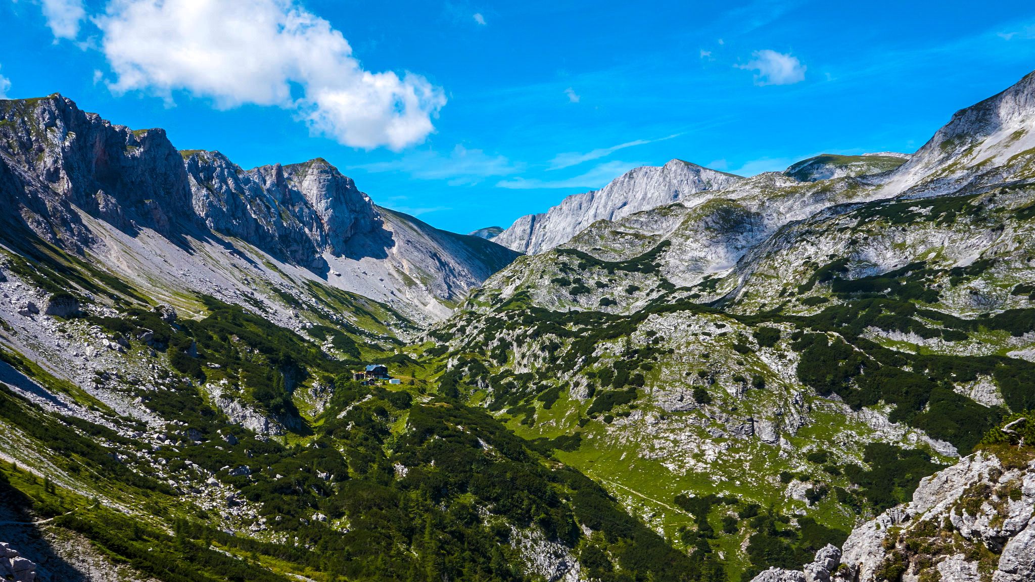
The BergZeitReise – a beautiful long-distance hiking trail across Styria
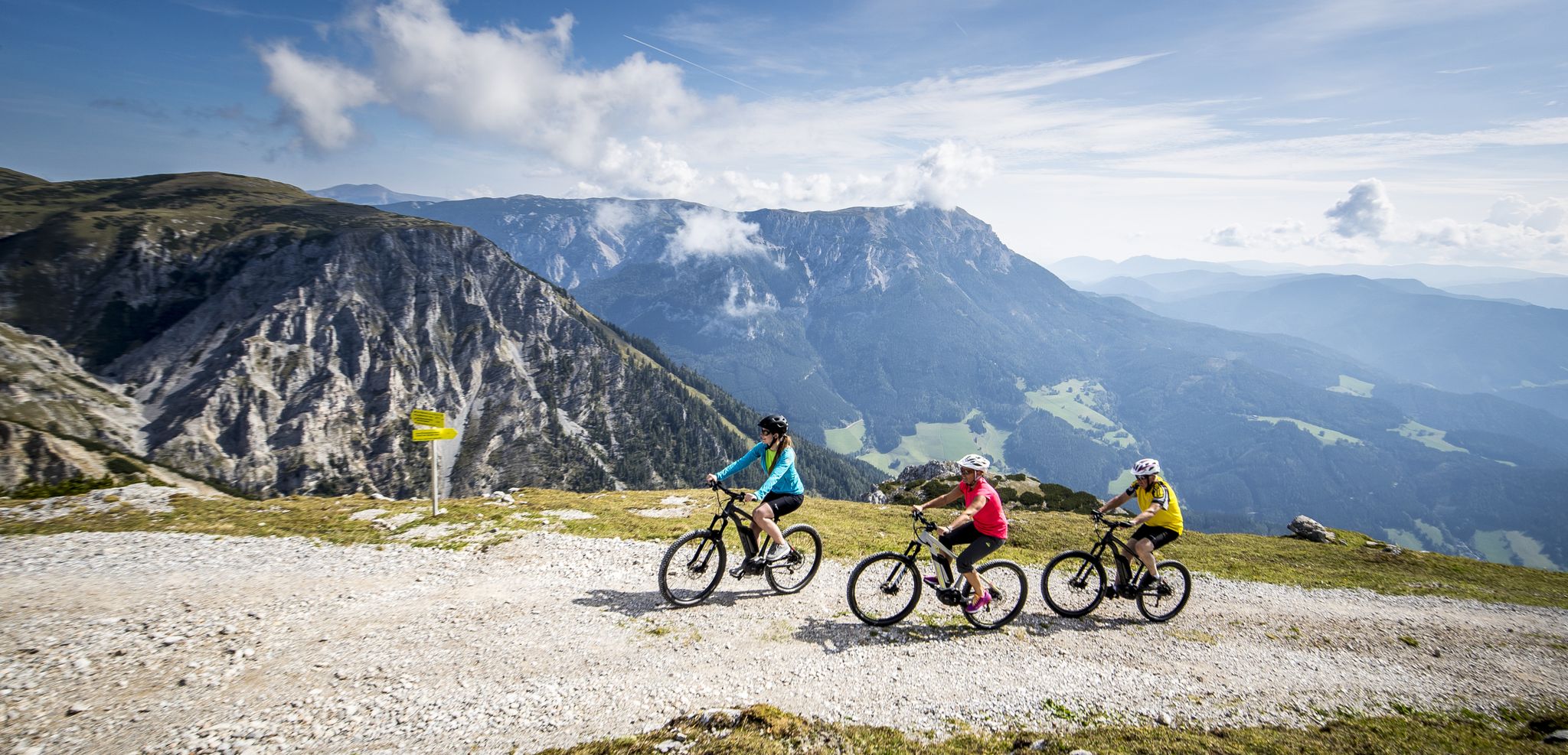
Pleasure mountain biking and adrenaline kicks in Hochsteiermark
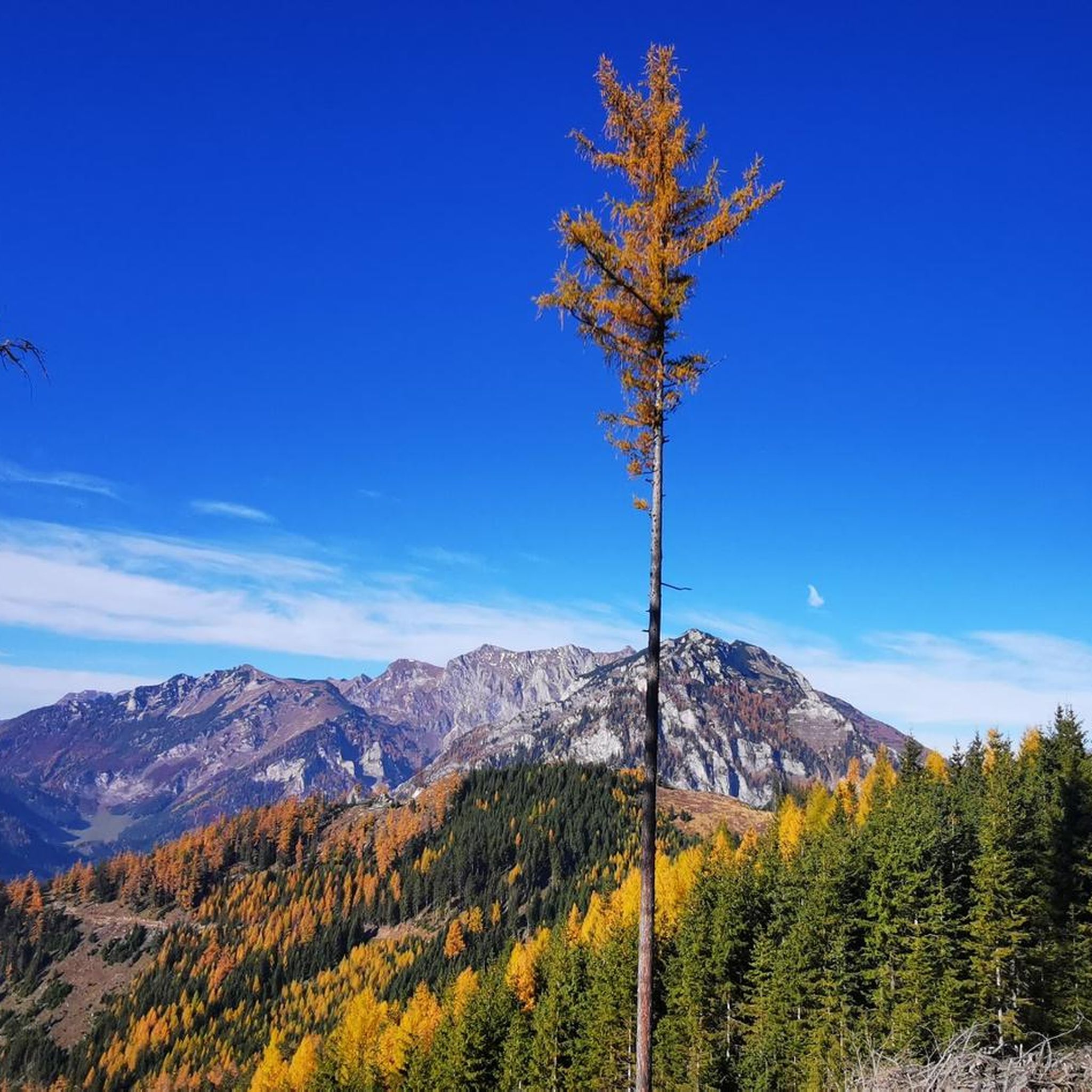
Hiking around Trofaiach
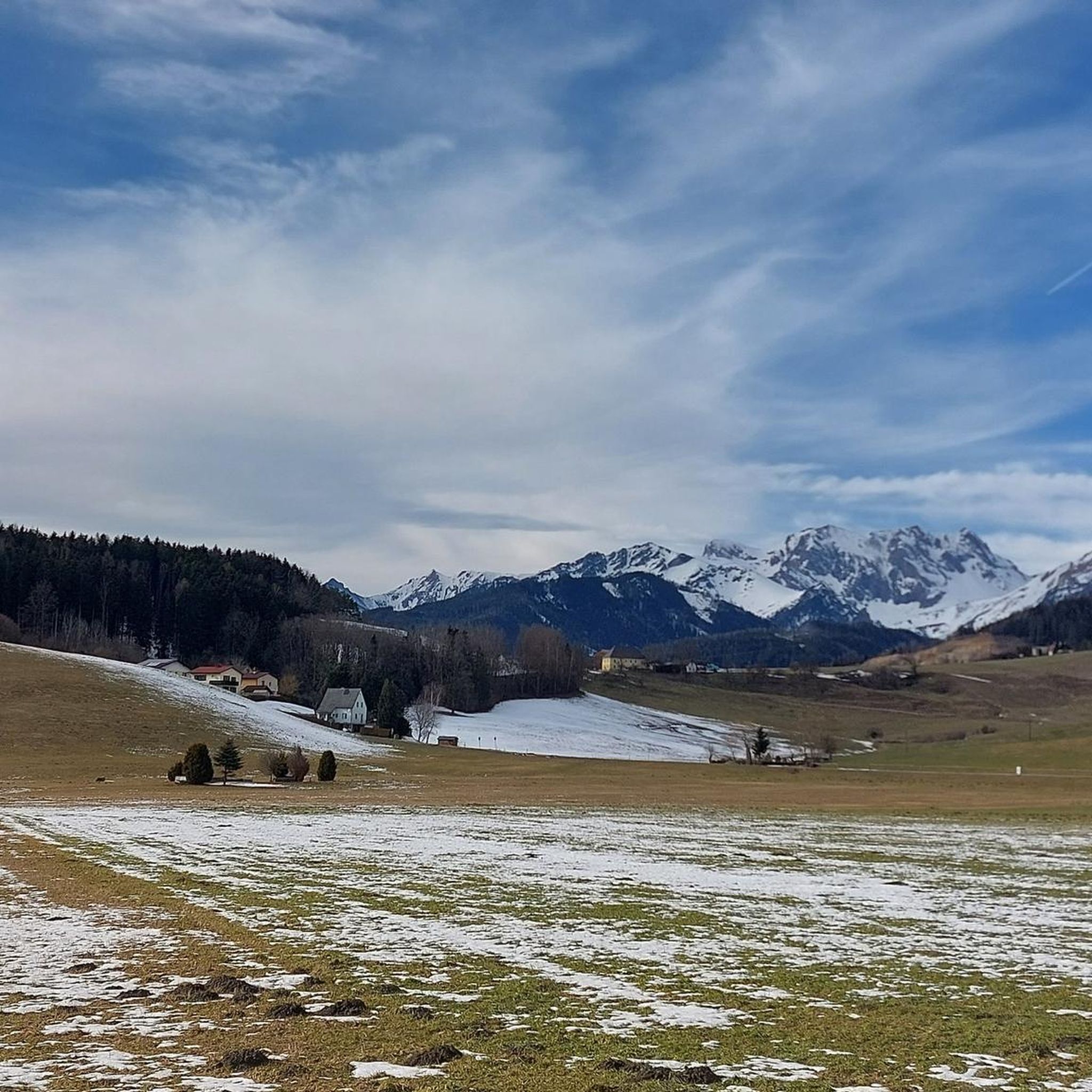
Cycling around Trofaiach
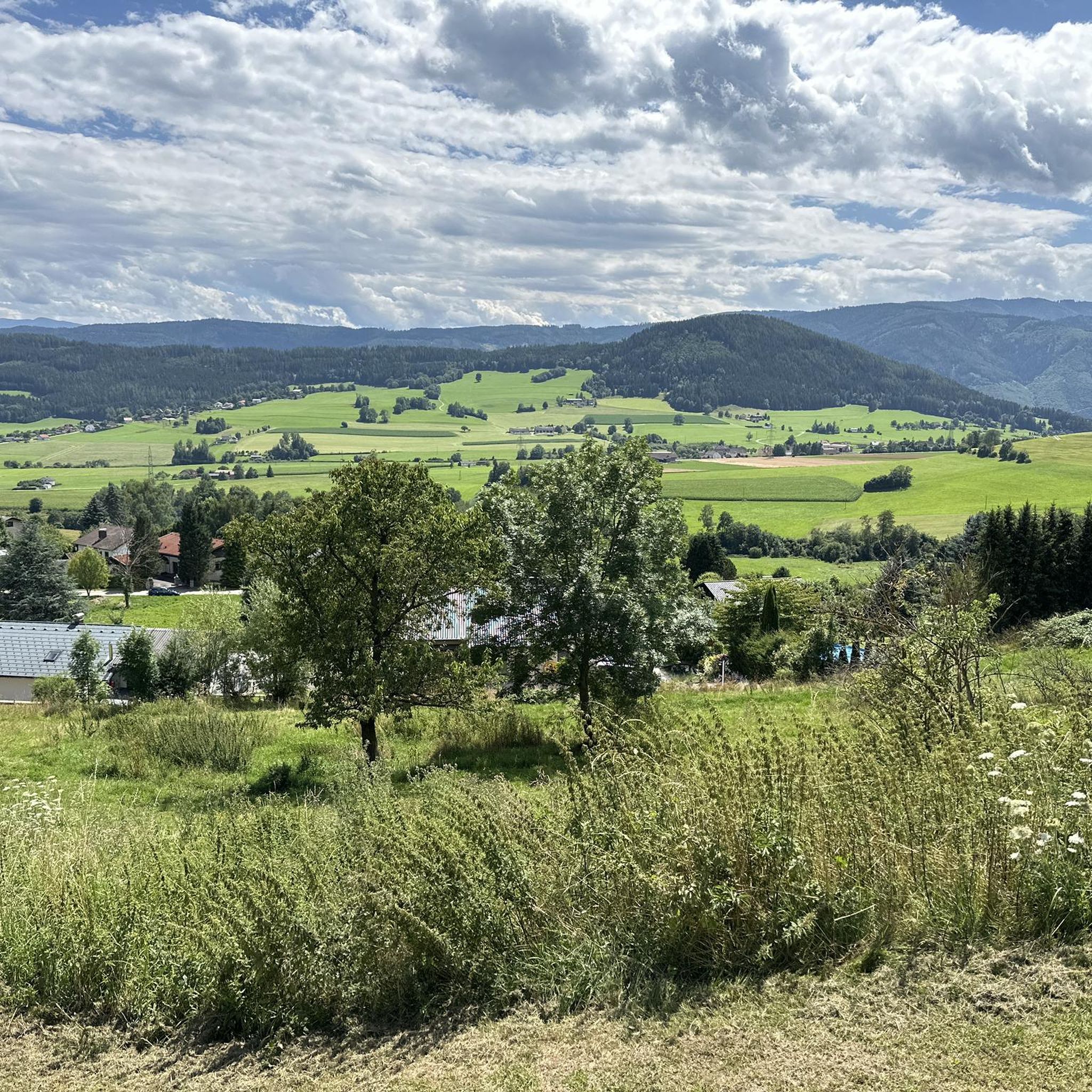
MTB Trails around Trofaiach
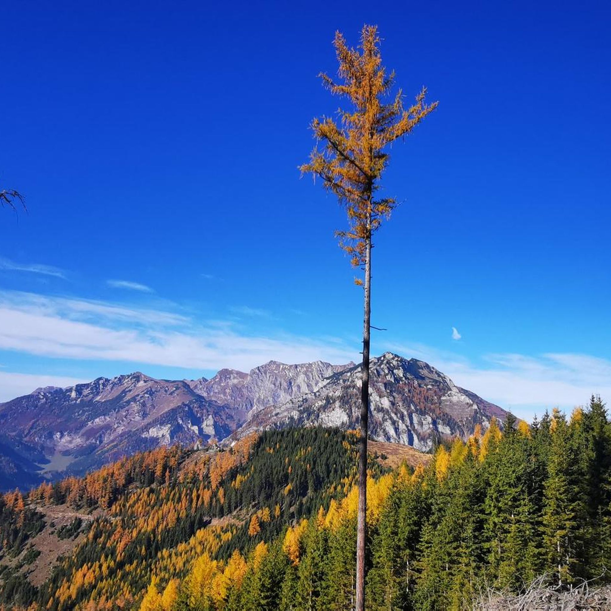
Road Cycling Routes around Trofaiach
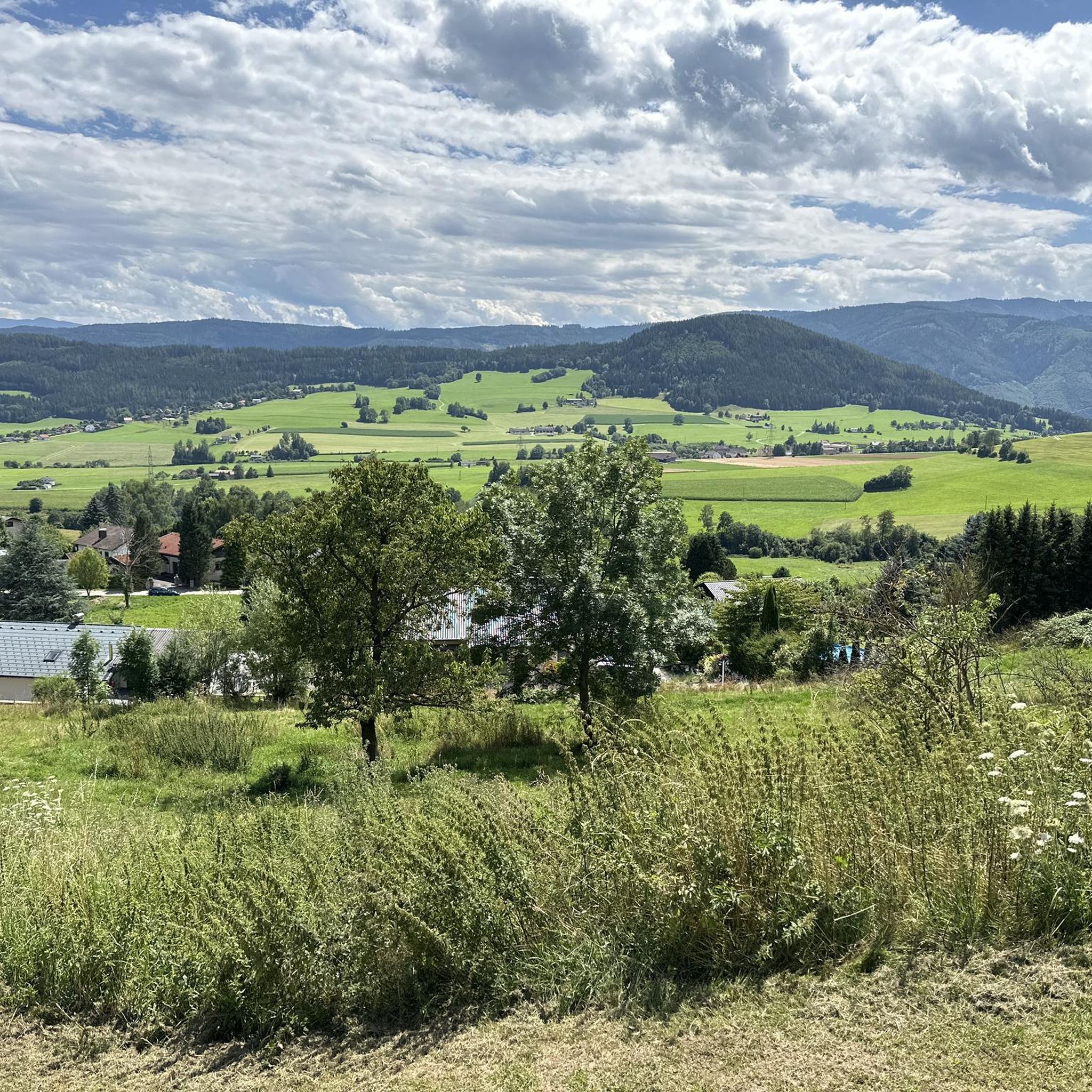
Running Trails around Trofaiach

Gravel biking around Trofaiach
Other adventures around Trofaiach


Tips from the Community

Super great summit, best in May and September. Ascent strenuous but doable.
0
0

Over a width of several meters, a lot of water gushes out of the slope here to support itself as the Krumpenbach downstream. Beautiful panoramic view over the valley and the surrounding landscape.
0
0
Short breather on a climb or descent rich in altitude meters to/from the Krumpalm.
0
0


A dreamlike view after a strenuous hike
0
0

The Krumpen Waterfall is always worth a photo!
0
0
A hike to Lake Krumpensee is simply beautiful! From the Hirnalm, it's a beautiful hike to Lake Krumpensee!
0
0
Great view. The climb may be a bit difficult for inexperienced climbers but it's worth it.
0
0
Frequently Asked Questions
How many mountaineering routes are available around Trofaiach?
There are around 16 distinct mountaineering routes in the Trofaiach region, offering a variety of experiences from moderate ascents to challenging multi-hour expeditions.
Are there any beginner-friendly mountaineering routes in Trofaiach?
While many routes are moderate to difficult, a good option for those seeking a less strenuous experience is the Krumpenbach Waterfall loop from Zur Hirnalm. This moderate 4.8-mile trail takes about 3 hours and leads through forested slopes past a beautiful waterfall.
Which routes are suitable for experienced mountaineers looking for a challenge?
Experienced mountaineers will find several challenging options. The Reichenstein hut – Eisenerz Reichenstein loop from Zur Hirnalm is a difficult 10.1-mile route with substantial elevation gain, leading to a prominent mountain hut. Another demanding option is the Grete Klinger Trail – Krumpenbach Waterfall loop from Zur Hirnalm, a difficult 9.5-mile path with challenging ascents and descents.
Are there any circular mountaineering routes near Trofaiach?
Yes, several routes offer a circular experience. The Klammkogel – ❤-Kogel loop from Gasthaus Friedaustüberl is a moderate 5.3-mile circular trail. Another great option is the Thalerkogel loop from Steinrieser, a moderate 6.6-mile route that provides a full loop.
What kind of scenic viewpoints or natural attractions can I expect on these routes?
The routes around Trofaiach offer stunning alpine scenery. You can encounter prominent summits like the Eisenerzer Reichenstein summit, Hochturm Summit, and Wildfeld Summit. Many trails also pass by picturesque features such as the Krumpenbach Waterfall and serene lakes like the Green Lake and Kreuz Pond.
Are there mountain huts along the mountaineering trails for rest stops?
Yes, mountain huts are a common feature in the region. For instance, the Reichenstein hut – Eisenerz Reichenstein loop specifically leads to a prominent mountain hut. The Sonnschien Hut is another notable hut in the wider area, providing a place for rest and refreshments.
What is the best time of year for mountaineering in Trofaiach?
The best time for mountaineering in Trofaiach is typically from late spring to early autumn (May to October), when the weather is more stable, and trails are generally free of snow. Always check local weather forecasts and trail conditions before heading out, especially in shoulder seasons.
Are there options for winter mountaineering in Trofaiach?
While the region offers beautiful winter landscapes, mountaineering in winter requires specialized equipment, experience, and an understanding of avalanche risks. Some trails may be accessible for snowshoeing or ski touring, but conditions can be challenging. It's crucial to consult local alpine clubs and weather services for current conditions and safety information.
What do other mountaineers say about the routes in Trofaiach?
The mountaineering routes in Trofaiach are highly rated by the komoot community, with an average score of 5.0 stars from over 40 reviews. More than 1100 mountaineers have explored the varied terrain, often praising the challenging ascents, stunning alpine views, and well-maintained paths.
Is public transport available to access mountaineering trailheads near Trofaiach?
Access to trailheads by public transport can vary. While Trofaiach itself has bus connections, many specific starting points for mountaineering routes, especially those higher in the mountains, might require a car. It's advisable to check local bus schedules and route access points in advance for specific tours.
Are there parking facilities at the trailheads?
Many popular trailheads, such as those starting from 'Zur Hirnalm' or 'Gasthaus Friedaustüberl', typically offer parking facilities for hikers. However, during peak season or on weekends, these can fill up quickly. It's always a good idea to arrive early or have a backup plan for parking.
What gear should I bring for mountaineering in Trofaiach?
For mountaineering in the Trofaiach region, essential gear includes sturdy hiking boots, weather-appropriate clothing (layers are key), a backpack with water and snacks, a first-aid kit, a map or GPS device, and sun protection. For more challenging or high-altitude routes, consider trekking poles and potentially via ferrata equipment if tackling specific sections.
Most popular routes around Trofaiach
Most popular attractions around Trofaiach

Get inspired with the komoot mobile app


Explore more
Browse the best Mountain Hikes & Routes in other regions.
