The best mountain hikes around Oberwölz
5.0
(22)
302
hikers
10
hikes
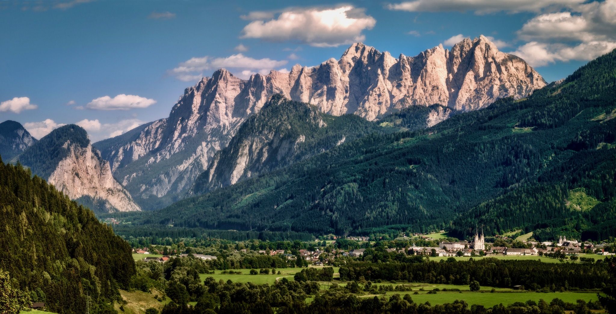
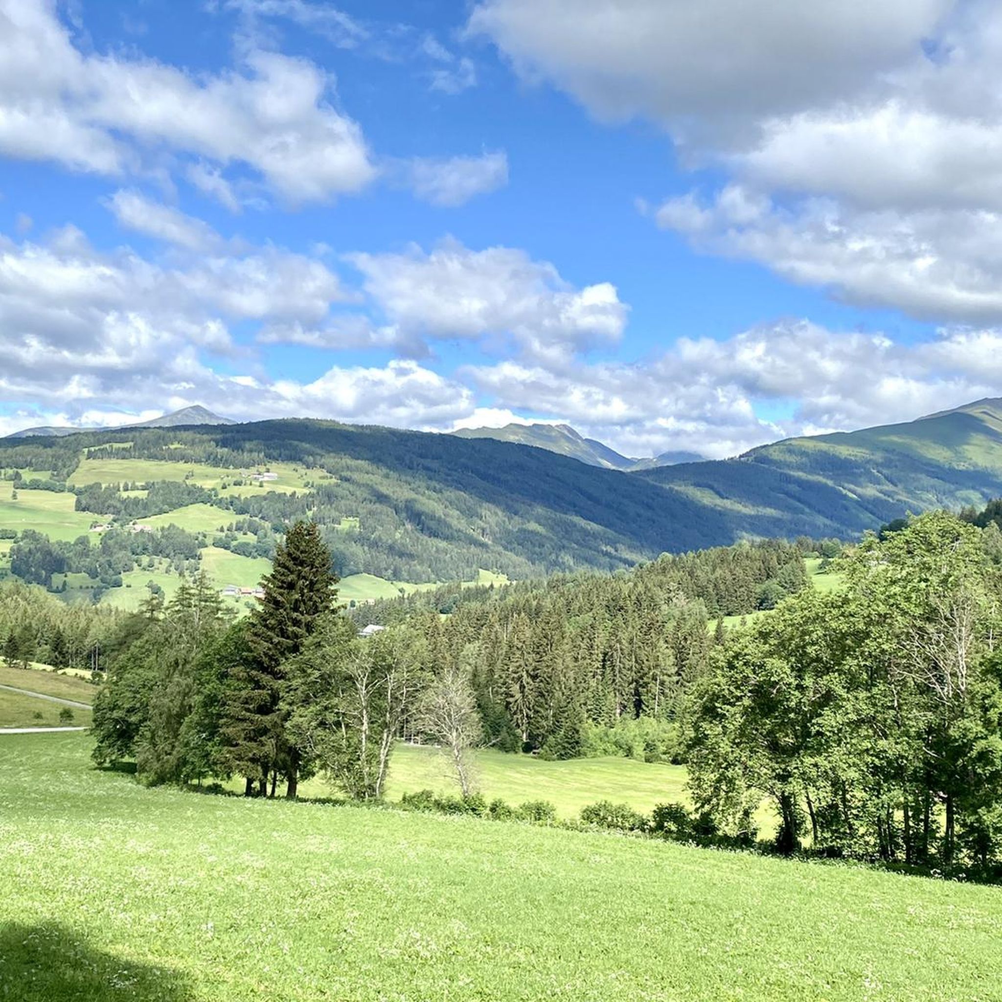
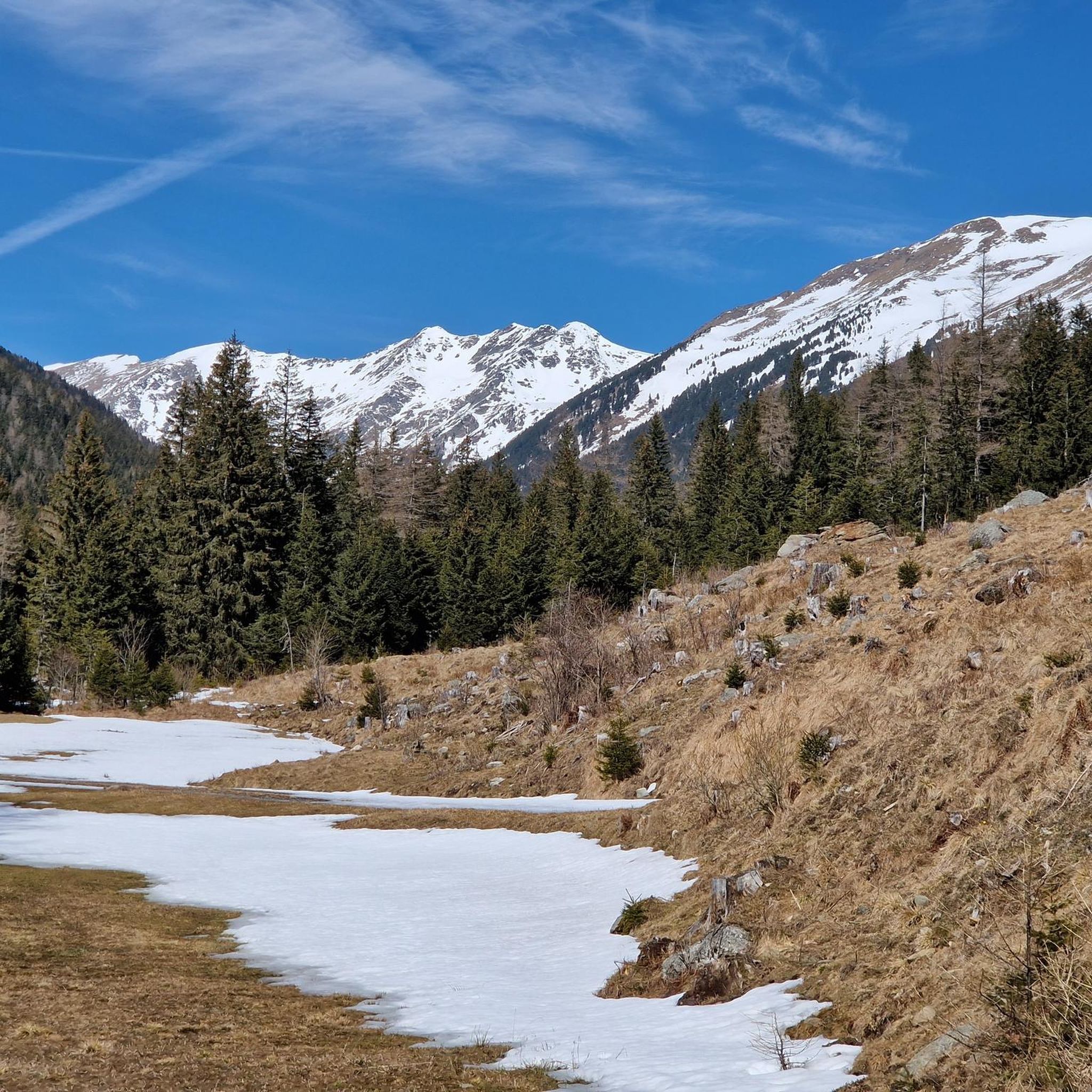
Mountaineering around Oberwölz offers diverse terrain within the Wölzer Tauern mountains, part of the Niedere Tauern range in Austria. The region is characterized by a picturesque mountain environment, lush alpine pastures, and pristine forests. Prominent peaks such as Großer Zinken (2,237 m), Karlspitze (2,097 m), and Rettlkirchspitze (2,475 m) provide challenging ascents and panoramic views. This area features varied terrain, from easier paths to demanding alpine routes with climbing sections.
Best mountaineering routes around Oberwölz
- The most popular mountaineering route…
Last updated: July 8, 2026
26
hikers
8.82km
04:29
720m
720m
Moderate mountaineering route. Good fitness required. Mostly accessible paths. Sure-footedness required.
27
hikers
10.4km
04:48
740m
740m
Moderate mountaineering route. Good fitness required. Mostly accessible paths. Sure-footedness required.

Sign up for free
5.0
(1)
14
hikers
10.4km
05:25
910m
910m
Hard mountaineering route. Very good fitness required. Sure-footedness, sturdy shoes and alpine experience required.
6
hikers
17.6km
05:39
780m
780m
Hard mountaineering route. Very good fitness required. Easily-accessible paths. Suitable for all skill levels.
6
hikers
7.22km
02:23
360m
360m
Moderate mountaineering route. Good fitness required. Easily-accessible paths. Suitable for all skill levels.
Get access to more routes and recommendations from other explorers.
Sign up for free
Already have an account?
Our route recommendations are based on thousands of hikes, rides, and runs completed by other people on komoot.
Start today with a free account
Your next adventure awaits.
Login or Signup



Tips from the Community


From the Rossalm saddle you can ride along the ridge path up to the Schießeck summit cross
0
0

The Eselsberg Alm is definitely a top highlight! Here at the restaurant at 1550 m, you are surrounded by 2000 m peaks and have a panorama to die for. The climb through the valley is also more pleasant than expected. The almost 700 m of elevation are spread over 13 km, so the gradient is accordingly "comfortable". The official mountain bike route ends here.
0
0

Located right on the side of the path… food and drink are provided…😏
7
0
Wonderful wooden viewing platform to admire the waterfall up close
11
0
Quiet hiking trail, not crowded... only cattle roam freely... Some very well-trodden paths where water flows towards you when it rains
12
0
Frequently Asked Questions
How many mountaineering routes are available around Oberwölz?
There are over 10 dedicated mountaineering routes around Oberwölz, offering a range of experiences from moderate ascents to challenging summit routes within the Wölzer Tauern mountains. The komoot community has explored these trails over 400 times.
What kind of terrain can I expect on mountaineering routes in the Wölzer Tauern?
The Wölzer Tauern mountains offer diverse terrain, from lush alpine pastures to pristine forests and demanding alpine sections with occasional climbing. You'll encounter varied landscapes, including prominent peaks like Großer Zinken and Karlspitze, providing both scenic beauty and physical challenges.
Are there any circular mountaineering routes suitable for a full day out?
Yes, several circular routes offer a comprehensive mountaineering experience. For a challenging full-day adventure, consider the Hölzlerhütte – Rettlkirchspitze (2,475 m) loop from Neunkirchner Hütte, which covers over 10 km and involves significant elevation gain to reach the summit of Rettlkirchspitze.
What are some natural landmarks or points of interest I might see on these routes?
The region is rich in natural beauty. You might encounter stunning mountain lakes like the Funklsee, or impressive waterfalls such as the Günster Waterfall. Many routes also lead to prominent summits like Großer Zinken (2,237 m) or Karlspitze Summit, offering expansive panoramic views.
Are there any family-friendly mountaineering options around Oberwölz?
While many mountaineering routes are challenging, the region also offers easier paths and themed trails that families might enjoy. For a blend of nature and culture, the 'Legends trail Oberwölz' is an approximately 3 km circular path with sculptures and historical narratives. For specific mountaineering, routes should be chosen based on the family's experience and fitness levels, as even moderate routes can be demanding.
What is the best time of year for mountaineering in Oberwölz?
The best time for mountaineering in Oberwölz is typically from late spring to early autumn (June to September) when the weather is most stable, and trails are generally free of snow. During these months, you can enjoy lush alpine pastures and clear summit views. Winter mountaineering is possible but requires specialized equipment and experience due to snow and ice conditions.
What do other mountaineers enjoy most about the routes in Oberwölz?
The routes in Oberwölz are highly rated by the komoot community, with an average score of 4.9 stars from over 30 reviews. Mountaineers often praise the diverse scenery, the challenging yet rewarding ascents, and the expansive views from prominent peaks. The varied terrain, from alpine pastures to demanding summit paths, is also frequently highlighted.
Are there any moderate mountaineering routes for those looking for a less strenuous challenge?
Yes, there are several moderate options. The Hölzlerhütte – Makenstath loop from Knollihütte is a popular moderate route, covering about 10.5 km with varied scenery through the Wölzer Tauern. It typically takes around 4 hours 49 minutes to complete.
Can I bring my dog on the mountaineering trails in the Wölzer Tauern?
Generally, dogs are allowed on hiking and mountaineering trails in the Wölzer Tauern, but it's crucial to keep them on a leash, especially in alpine pastures where livestock may be present. Always ensure your dog is well-behaved and capable of handling the terrain and duration of the chosen route. Check local regulations for any specific restrictions.
Are there any challenging routes that offer extensive views of the Sölk Valley?
For a challenging route with extensive views, consider the Hölzlerhütte – View of the Sölk Valley loop from Neunkirchner Hütte. This difficult route spans over 8 km and provides stunning vistas of the Sölk Valley and surrounding mountains, typically taking around 4 hours 30 minutes to complete.
Are there any permits required for mountaineering in the Wölzer Tauern region?
For general mountaineering and hiking on marked trails in the Wölzer Tauern, permits are typically not required for individual hikers. However, always respect private property, protected areas, and any specific signage you encounter. If planning off-trail or more technical climbs, it's advisable to check with local authorities or alpine clubs for any specific regulations.
Where can I find parking for mountaineering trailheads near Oberwölz?
Parking is generally available at common trailheads or near mountain huts such as Neunkirchner Hütte or Knollihütte, which serve as starting points for many routes. It's recommended to check specific route descriptions on komoot for detailed parking information, as accessibility can vary.
Most popular routes around Oberwölz
Most popular attractions around Oberwölz

Get inspired with the komoot mobile app


Explore more
Browse the best Mountain Hikes & Routes in other regions.
