The best mountain hikes around Rettenegg
4.6
(9)
214
hikers
17
hikes
Mountaineering around Rettenegg is characterized by its diverse landscapes within the Fischbach Alps, offering routes that traverse prominent peaks and scenic river valleys. The region is dominated by mountains such as Stuhleck, the highest peak in the Fischbach Alps at 1782 meters, and Hochwechsel, both providing extensive views. An extensive network of trails allows for exploration of these natural features, including rock formations and dense woodlands.
Best mountaineering routes around Rettenegg
- The most popular mountaineering route is Alois-Günther-Haus – Sunset…
Last updated: July 1, 2026
32
hikers
13.9km
05:08
870m
870m
Hard mountaineering route. Very good fitness required. Mostly accessible paths. Sure-footedness required.
5.0
(1)
18
hikers
7.61km
02:48
460m
460m
Moderate mountaineering route. Good fitness required. Mostly accessible paths. Sure-footedness required.

Sign up for free
16
hikers
Moderate mountaineering route. Good fitness required. Mostly accessible paths. Sure-footedness required.
4.0
(1)
9
hikers
Moderate mountaineering route. Good fitness required. Mostly accessible paths. Sure-footedness required.
5.0
(1)
9
hikers
Moderate mountaineering route. Good fitness required. Easily-accessible paths. Suitable for all skill levels.
Get access to more routes and recommendations from other explorers.
Sign up for free
Already have an account?
Our route recommendations are based on thousands of hikes, rides, and runs completed by other people on komoot.
Start today with a free account
Your next adventure awaits.
Login or Signup
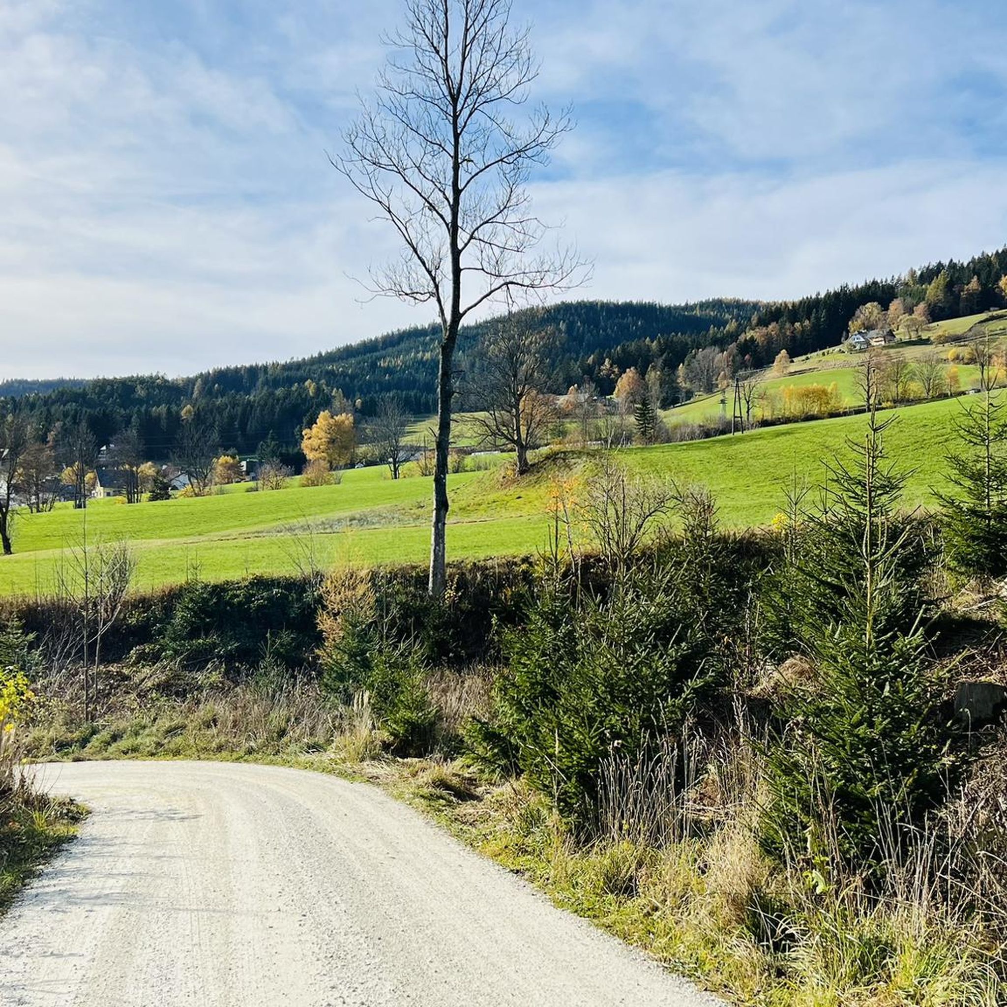
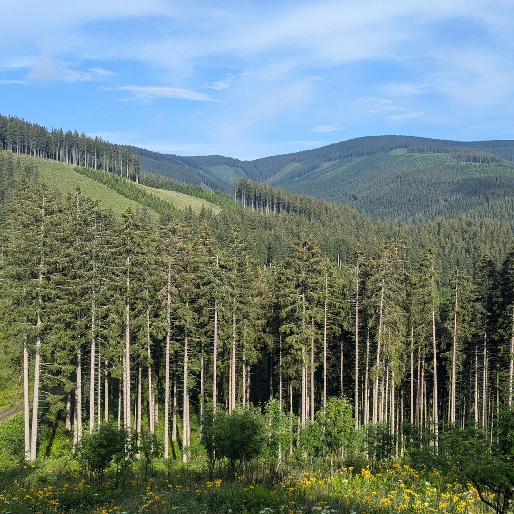
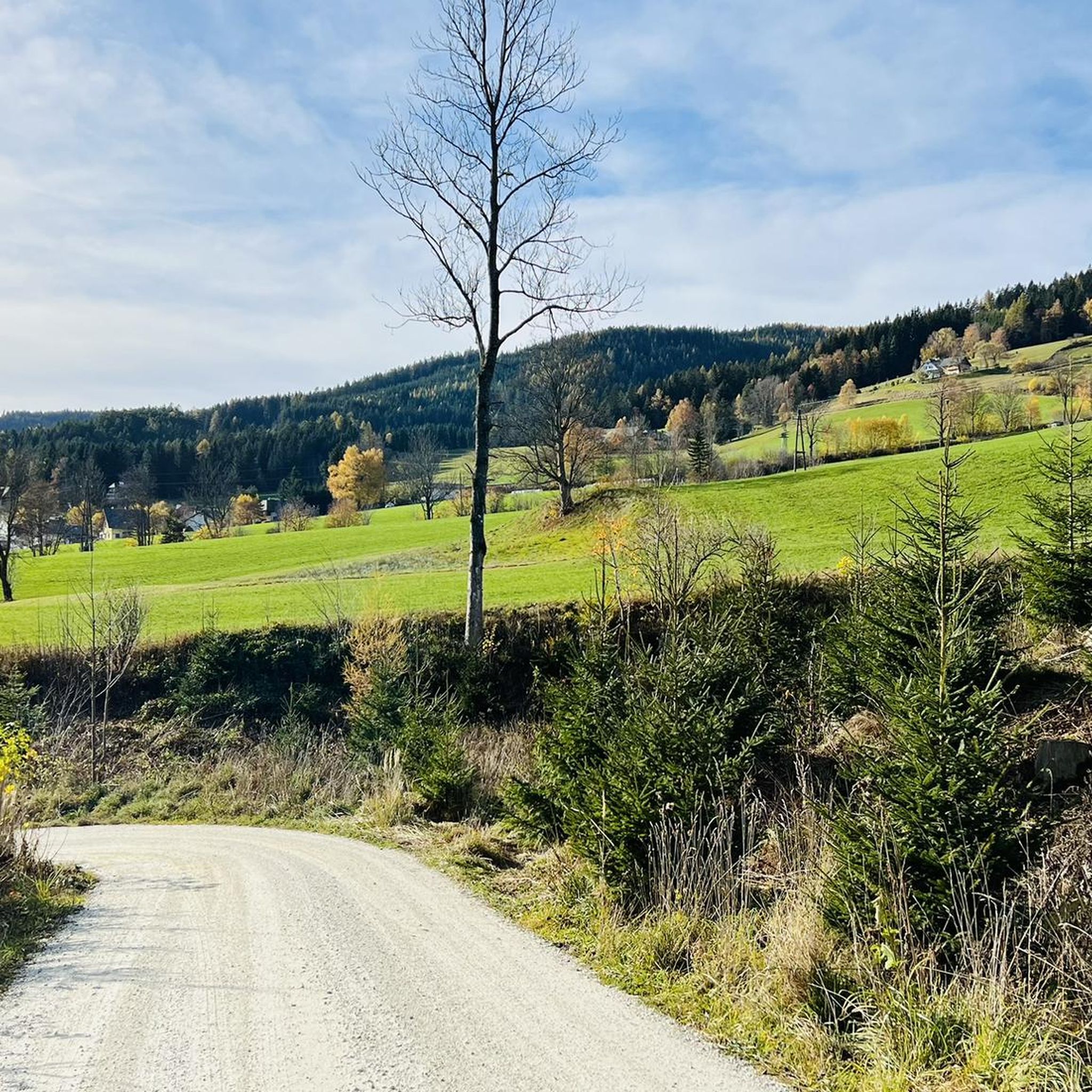
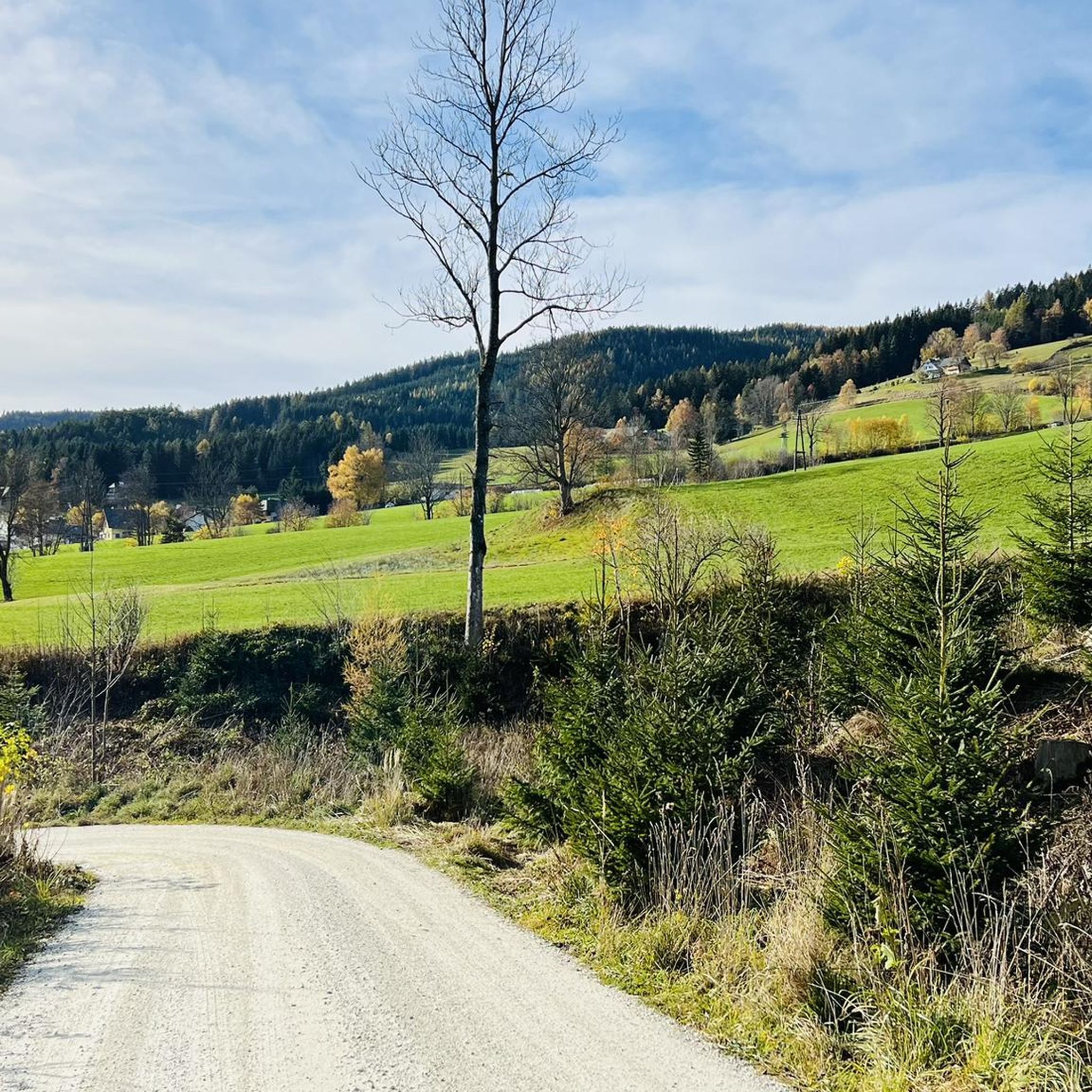
Tips from the Community

A highlight you have to do once
3
0
Many visitors erect their stone sculptures here.
4
0
Beautiful cross at the summit, Alois Günther mountain hut
4
0

Highest point of the Fischbach Alps! Magnificent views of Schneeberg, Rax, Schneeakpe, Veitsch, Hochschwab, Hochwechsel, Sonnwendstein and Hochlantsch.
0
0
Nice place to take a break
3
0
Great view, challenging to drive, really fun
4
0
Great view, challenging to drive
4
0
A super nice tour highly recommended
3
0
Frequently Asked Questions
How many mountaineering routes are available around Rettenegg?
Rettenegg offers a wide selection of mountaineering routes, with over 18 distinct trails to explore. These routes cater to various skill levels, ranging from moderate ascents to more challenging summit routes.
What is the best time of year for mountaineering in Rettenegg?
The region around Rettenegg, particularly the Fischbach Alps, is ideal for mountaineering during the warmer months, typically from late spring through early autumn. During this period, trails are generally clear of snow, and you can enjoy the panoramic views from peaks like Stuhleck and Hochwechsel.
Are there any family-friendly mountaineering options in Rettenegg?
While many routes are geared towards experienced mountaineers, some trails offer a more moderate experience suitable for families with older children. The Pfaffensattel Pass Parking – Alois-Günther-Haus loop from Pfaffensattel is a moderate 4.7-mile path that provides access to a mountain hut on Stuhleck, which can be a good option for a family outing.
Are there any circular mountaineering routes in the Rettenegg area?
Yes, Rettenegg offers several circular routes that allow you to start and end at the same point. For example, the Hochwechsel Summit – Chapel on Hochwechsel loop from Katastralgemeinde Neustift am Alpenwald is a popular 7.0-mile circular trail in the Hochwechsel area.
What kind of natural landmarks or attractions can I see along the mountaineering routes?
The mountaineering routes around Rettenegg offer diverse natural beauty. You can encounter unique rock formations, dense woodlands, and stunning panoramic views from peaks like Stuhleck. The region is also home to interesting geological features, and you might find yourself near highlights such as the Falkenstein Cave or the Hermann Cave, though these require separate exploration.
Are there places to stop for refreshments or accommodation along the trails?
Yes, several routes feature mountain huts and refuges where you can rest and enjoy regional specialties. For instance, the Alois-Günther-Haus – Sunset View from Stuhleck loop from Spital am Semmering leads to the Alois Günther Haus on Stuhleck, a well-known stop for mountaineers.
What do other mountaineers say about the routes in Rettenegg?
The mountaineering routes in Rettenegg are highly regarded by the komoot community, holding an average rating of 4.5 stars from over 8 reviews. Users often praise the diverse terrain, the majestic mountain peaks, and the extensive trail network that caters to various ability levels.
Are there any particularly challenging mountaineering routes for experienced climbers?
For experienced mountaineers seeking a challenge, Rettenegg offers several difficult routes. The Alois-Günther-Haus – Sunset View from Stuhleck loop from Spital am Semmering is an 8.6-mile difficult trail that ascends to Stuhleck, providing a demanding climb with rewarding panoramic views.
Where can I park when starting a mountaineering tour in Rettenegg?
Many routes have designated starting points with parking facilities. For example, the Pfaffensattel Pass Parking – Alois-Günther-Haus loop from Pfaffensattel explicitly mentions parking at Pfaffensattel Pass, making it a convenient starting point for exploring Stuhleck.
Are there any unique educational trails in the Rettenegg area?
Yes, the region features the unique Planet Trail, which leads up the Stuhleck. This educational hiking experience represents the planets of our solar system and offers insights into the scale of the universe, making it a distinctive addition to your mountaineering adventure.
Can I use public transport to reach mountaineering trailheads in Rettenegg?
While specific public transport details for every trailhead are not provided, Rettenegg is a village nestled within the Fischbach Alps. It's advisable to check local bus schedules or regional transport options for connections to the starting points of your chosen mountaineering routes, especially for those not beginning directly in the village center.
What are some other notable peaks to explore besides Stuhleck?
Beyond Stuhleck, the Hochwechsel is another prominent mountain in the region and a popular mountaineering destination. Routes often involve starting from areas like Mönichkirchner-Schwaig and passing notable points such as the Hallerhaus and STOA ALM on the way to the Hochwechsel summit.
Most popular routes around Rettenegg
Most popular attractions around Rettenegg

Get inspired with the komoot mobile app


Explore more
Browse the best Mountain Hikes & Routes in other regions.
