The best mountain hikes around Schwanberg
5.0
(5)
172
hikers
9
hikes
Mountaineering routes around Schwanberg are situated at the foot of the Koralpe, a mountain range within the Austrian Alps. This region features a diverse landscape of rolling hills, lush forests, and expansive alpine meadows. The terrain includes significant peaks like the Großer Speikkogel, the highest point of the Koralpe at 2142 meters, offering panoramic views. The area is also characterized by rivers such as the Sulm and southern slopes utilized for viticulture.
Best mountaineering routes around Schwanberg
- The most popular…
Last updated: August 19, 2026
5.0
(2)
55
hikers
11.2km
03:53
640m
640m
Moderate mountaineering route. Good fitness required. Mostly accessible paths. Sure-footedness required.
33
hikers
14.1km
05:02
710m
700m
Hard mountaineering route. Very good fitness required. Mostly accessible paths. Sure-footedness required.

Sign up for free
33
hikers
15.4km
05:23
640m
640m
Hard mountaineering route. Very good fitness required. Sure-footedness, sturdy shoes and alpine experience required.
5.0
(2)
20
hikers
12.8km
04:28
590m
590m
Moderate mountaineering route. Good fitness required. Mostly accessible paths. Sure-footedness required.
16
hikers
7.81km
02:47
480m
480m
Moderate mountaineering route. Good fitness required. Easily-accessible paths. Suitable for all skill levels.
Get access to more routes and recommendations from other explorers.
Sign up for free
Already have an account?
Our route recommendations are based on thousands of hikes, rides, and runs completed by other people on komoot.
Start today with a free account
Your next adventure awaits.
Login or Signup
Popular around Schwanberg
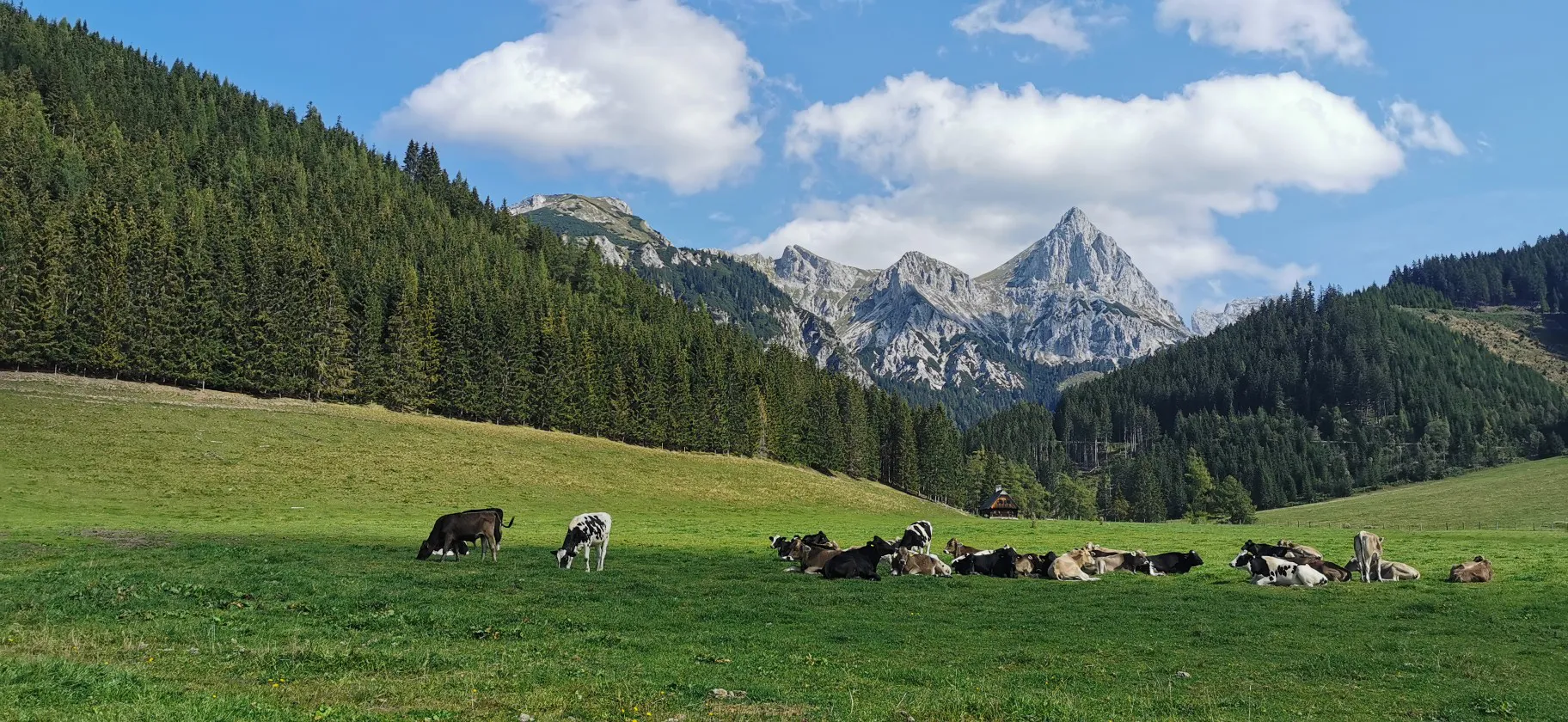
Via Alpina through Styria in Austria – From south to north

North-South Trail through Austria – Small country, big paths!
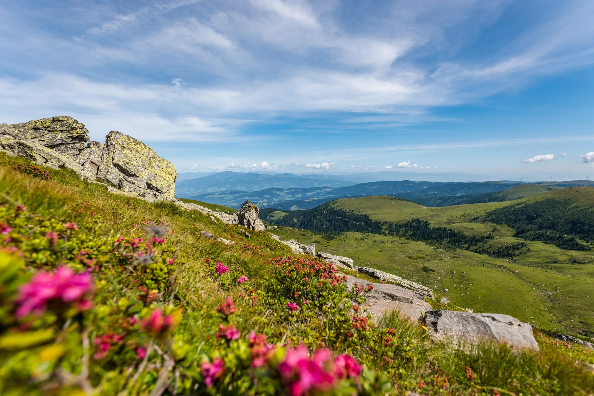
Koralm Kristall Trail – Spectacular rocks and alpine meadows

Magnificent mountain biking on Austria's alpine pastures
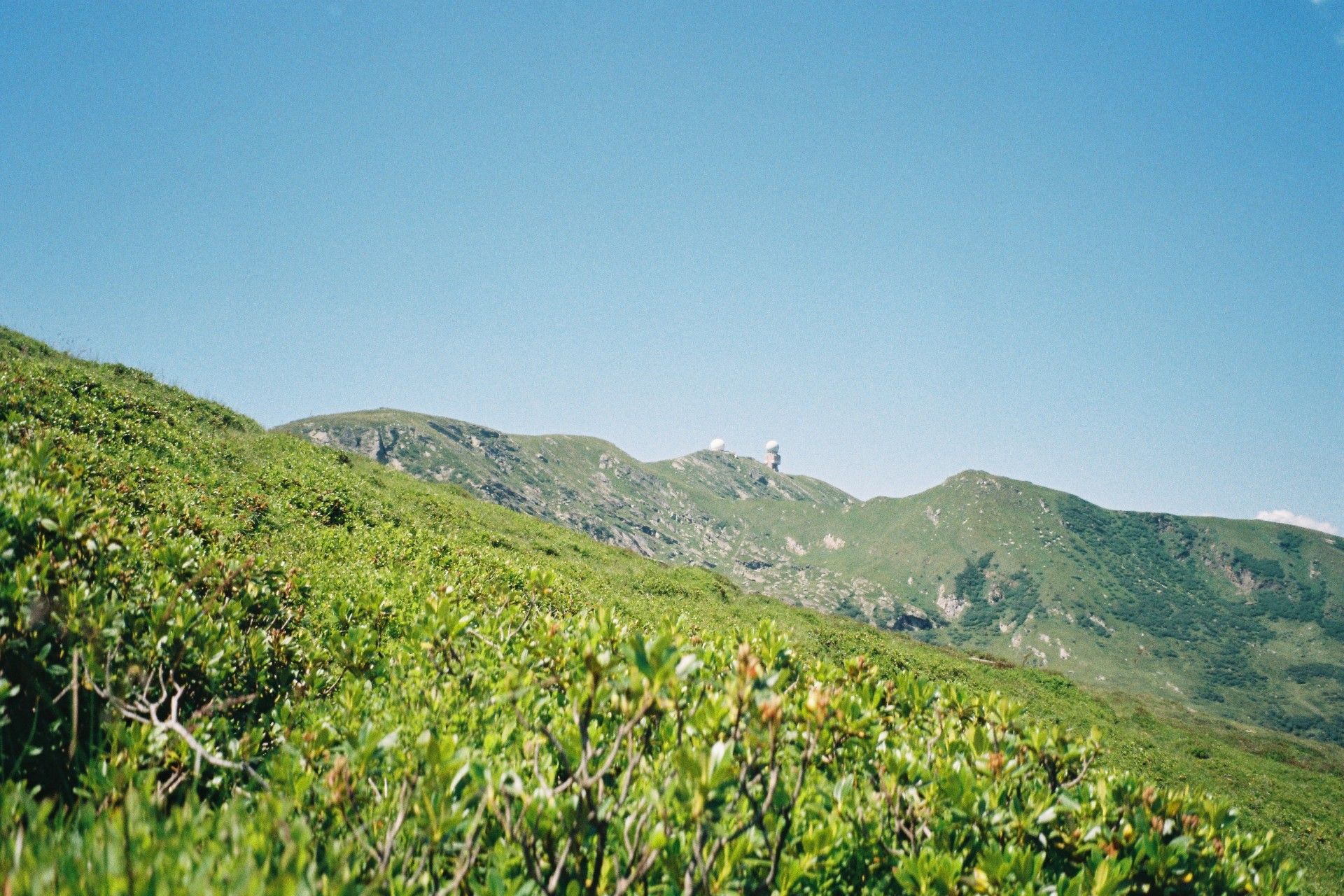
A nature paradise - hiking tours on the Koralm
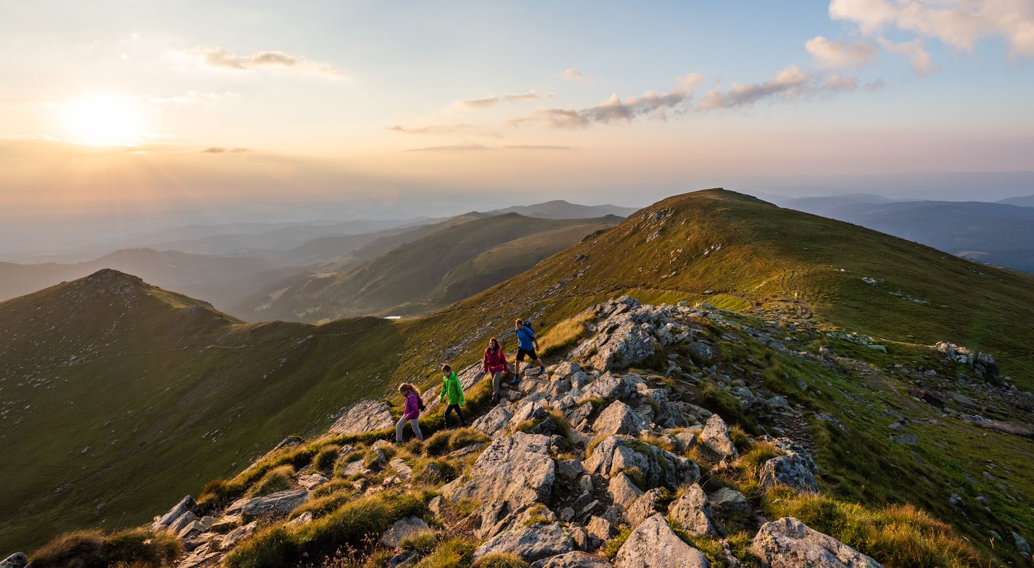
9 days of relaxation and wonder in Austria – Lavant Valley Trail
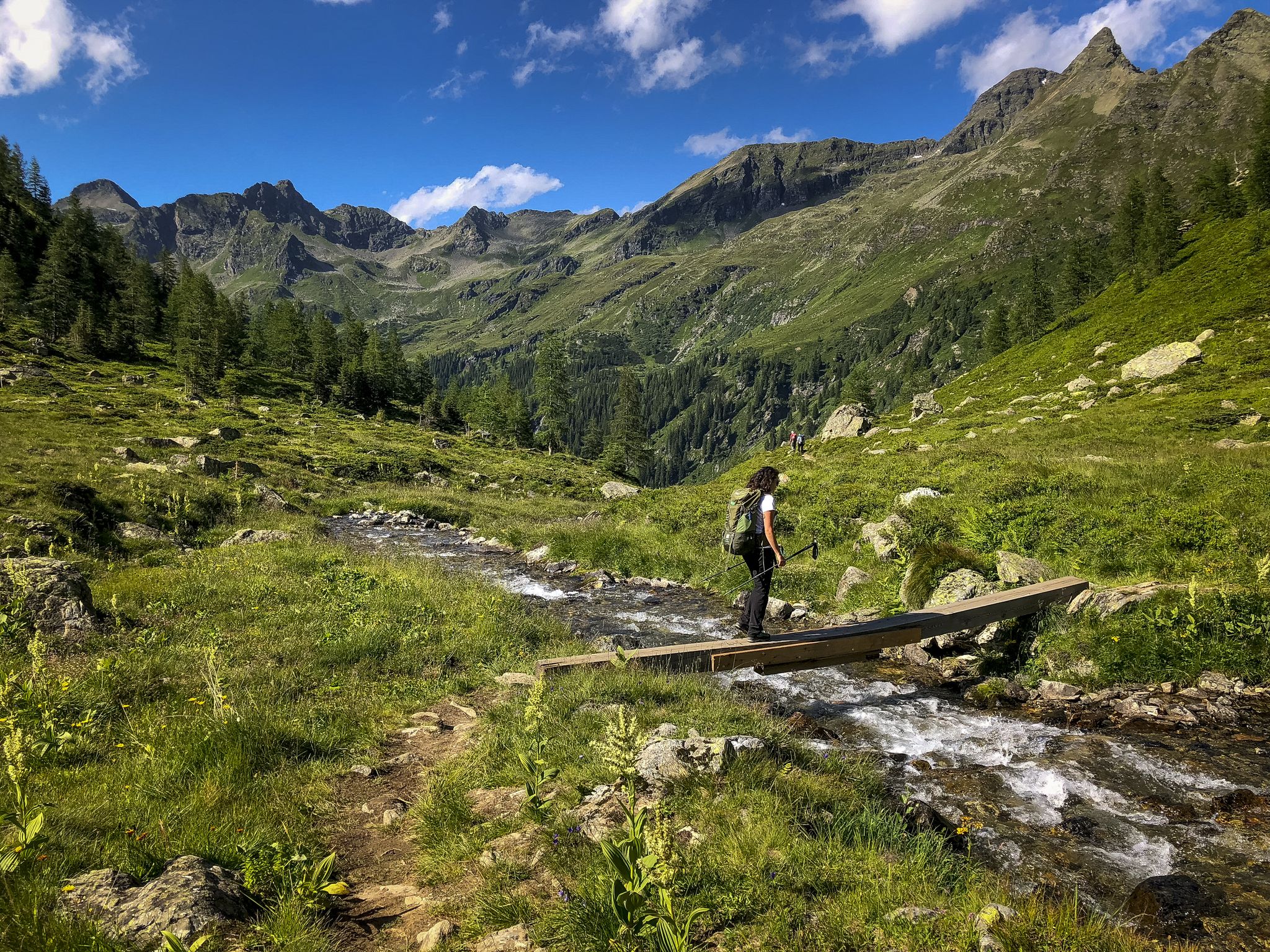
Discover Styria in Austria – Hiking the 'From Glacier to Wine' southern route
Blickwechsel – Rad- und Wandertouren durch die Südsteiermark
Hiking around Schwanberg
Cycling around Schwanberg
Other adventures around Schwanberg


Tips from the Community

The Großhöllerhütte has a great view, super service, and an excellent Jause.
0
0

5€/day you can pay with bank card
1
0

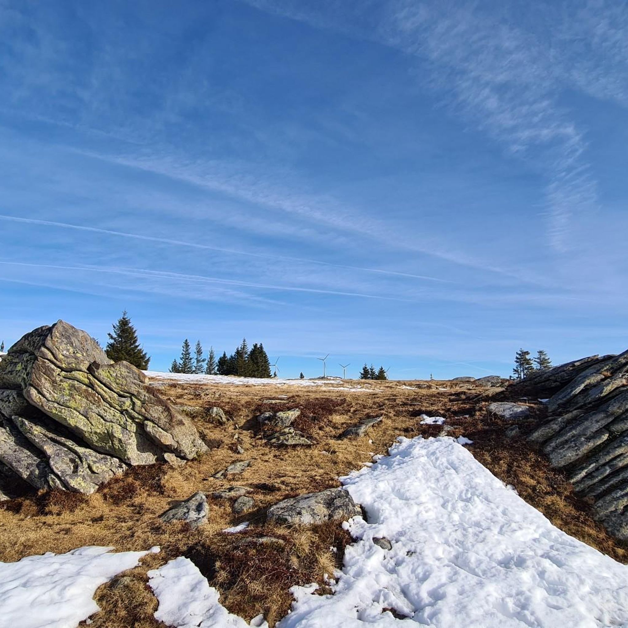
Especially beautiful in winter when the ice is horizontal at the radar station.
2
0

I ask the next friendly hiker who reads this beforehand to take a summit book and a new pen for the summit, because the book is unfortunately full and the pen is already very old 🖊️📒 Thank you very much!
2
0
I ask the next friendly hiker who reads this beforehand to take a summit book and a new pen for the summit, because the book is unfortunately full and the pen is already very old 🖊️📒 Thank you very much!
9
1
Simply feed the navigation device with the following data. The parking lot is about 100 meters before these addresses. 🧭 9431 Wolfsberg Hartelsberg 76 or Hartelsberg 73
7
0
A parking lot with plenty of parking options 🅿️ The fee for one calendar day is 5 euros 💶 Payable with the card at the parking machine 💳
10
0
The summit cross collapsed in January 2014 due to heavy snow and ice loads. On June 6, 2014, the cross was re-erected in its old form made of oak wood and was ceremoniously inaugurated on July 5, 2014 by Dean Engelbert Hofer and Pastor Eugen Länger ✝️ http://www.kleindenkmaeler.at/detail/gipfelkreuz_grosser_speikkogel
8
0
Frequently Asked Questions
How many mountaineering routes are available around Schwanberg?
The Schwanberg area offers around 10 distinct mountaineering routes, catering to various skill levels. These include 5 moderate and 4 difficult trails, providing a good range of options for your adventure.
What kind of terrain will I encounter on mountaineering routes in Schwanberg?
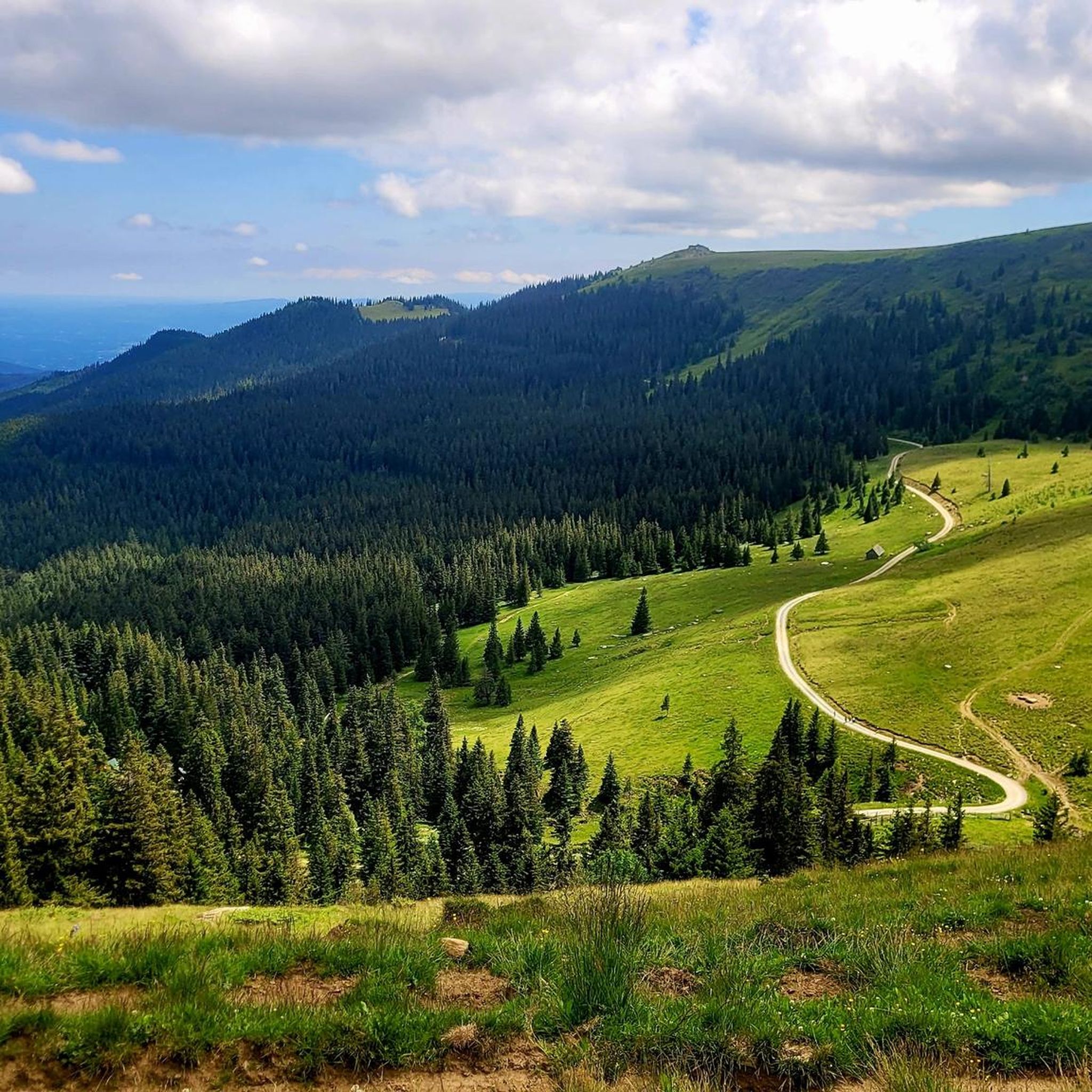
You can expect a diverse landscape featuring rolling hills, lush forests, and expansive alpine meadows. The routes often include idyllic forest and alpine paths, with generally gentle ascents and descents, leading to magnificent panoramic views from peaks like the Großer Speikkogel.
Are there any routes that feature waterfalls?
Yes, the region is home to the Sulm waterfall, a natural pearl with a 60-meter gradient. You can experience this on routes such as the Poms Waterfall – Großer Speikkogel Summit loop from Burgstallofen, which is a challenging 14.1 km path.
What are some notable natural features or landmarks to look out for on the trails?
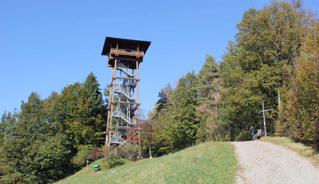
Beyond the stunning Koralpe mountain range and its highest peak, Großer Speikkogel, you might encounter the high moorland of Garanas, Austria's highest medicinal moor, complete with an observation tower. The region also features the Sulm River and picturesque vineyards on its southern slopes. For specific rock formations, consider visiting the Geopark Glashütten.
Are there any circular mountaineering routes in the Schwanberg area?
Yes, many routes are designed as loops. For example, the Großer Speikkogel Summit – Poms Waterfall loop from Schizentrum Koralpe is a moderate 12.8 km circular tour that offers diverse scenery.
What is the best time of year for mountaineering in Schwanberg?
The region is generally excellent for outdoor activities during warmer months, offering pleasant conditions for hiking and mountaineering. While winter sports like skiing are available, the best time for mountaineering is typically from late spring to early autumn when trails are clear of snow and weather is more stable.
What do other mountaineers enjoy most about the routes in Schwanberg?
The area is highly rated by the komoot community, with an average score of 5.0 stars from more than 5 reviews. Mountaineers often praise the varied terrain, from idyllic forest paths to expansive alpine meadows, and the rewarding panoramic views from summits like the Großer Speikkogel.
Are there any easier mountaineering routes suitable for beginners?
While there are no routes specifically classified as 'easy', several moderate options are available. The Cattle Pasture – Koralpenhaus loop from Burgstallofen is a moderate 7.8 km route that could be a good starting point for those with some hiking experience.
Can I find any historical sites or cultural attractions near the mountaineering trails?
Yes, the region offers historical and cultural points of interest. You can visit Schwanberg Castle, a Renaissance castle with a history dating back to the 15th century, and the archaeological remains of Altburg, which features an 18-meter high viewing platform and an interactive medieval adventure trail. The Maria Heimsuchung Chapel also provides an idyllic resting place with views.
Are there any viewpoints along the mountaineering routes?
Absolutely. The Großer Speikkogel, at 2142 meters, offers magnificent panoramic views over the mountains of the Lavant Valley and all of Carinthia. Additionally, the Altburg archaeological site near Schwanberg Castle has an 18-meter high viewing platform providing a bird's-eye view of the surrounding landscape, including vineyards and distant mountains.
What other outdoor activities are available in the Schwanberg area besides mountaineering?
Beyond mountaineering, the Bad Schwanberg area provides opportunities for mountain biking, horseback riding, canoeing, and golfing. During winter, skiing is also an option. The Bad Schwanberg outdoor pool area offers additional recreational activities with spacious sunbathing lawns and a giant slide.
Most popular routes around Schwanberg
Most popular attractions around Schwanberg

Get inspired with the komoot mobile app


Explore more
Browse the best Mountain Hikes & Routes in other regions.
