The best mountain hikes around Bichlbach
4.7
(1169)
8,037
hikers
203
hikes
Mountaineering routes around Bichlbach are set within the Tiroler Zugspitz Arena, at an elevation of 1,075 meters. The region is characterized by the imposing peaks of the Lechtal Alps, Wetterstein Mountains, and the iconic Zugspitze. This diverse mountain terrain offers panoramic summits and challenging ascents, with picturesque elements like the Lech Valley and various lakes visible from viewpoints.
Best mountaineering routes around Bichlbach
- The most popular mountaineering route is Zigerstein Summit – Kohlbergspitze Summit (2,202 m) loop from Bichlbach-Berwang,…
Last updated: July 8, 2026
4.9
(28)
154
hikers
10.3km
06:40
1,090m
1,090m
Hard mountaineering route. Very good fitness required. Sure-footedness, sturdy shoes and alpine experience required.
5.0
(15)
79
hikers
12.6km
07:12
1,220m
1,220m
Hard mountaineering route. Very good fitness required. Sure-footedness, sturdy shoes and alpine experience required.

Sign up for free
4.5
(12)
73
hikers
14.0km
06:11
880m
880m
Hard mountaineering route. Very good fitness required. Mostly accessible paths. Sure-footedness required.
4.5
(11)
60
hikers
13.5km
07:13
1,180m
1,180m
Hard mountaineering route. Very good fitness required. Sure-footedness, sturdy shoes and alpine experience required.
5.0
(6)
44
hikers
Moderate mountaineering route. Good fitness required. Mostly accessible paths. Sure-footedness required.
Get access to more routes and recommendations from other explorers.
Sign up for free
Already have an account?
Our route recommendations are based on thousands of hikes, rides, and runs completed by other people on komoot.
Start today with a free account
Your next adventure awaits.
Login or Signup
Popular around Bichlbach
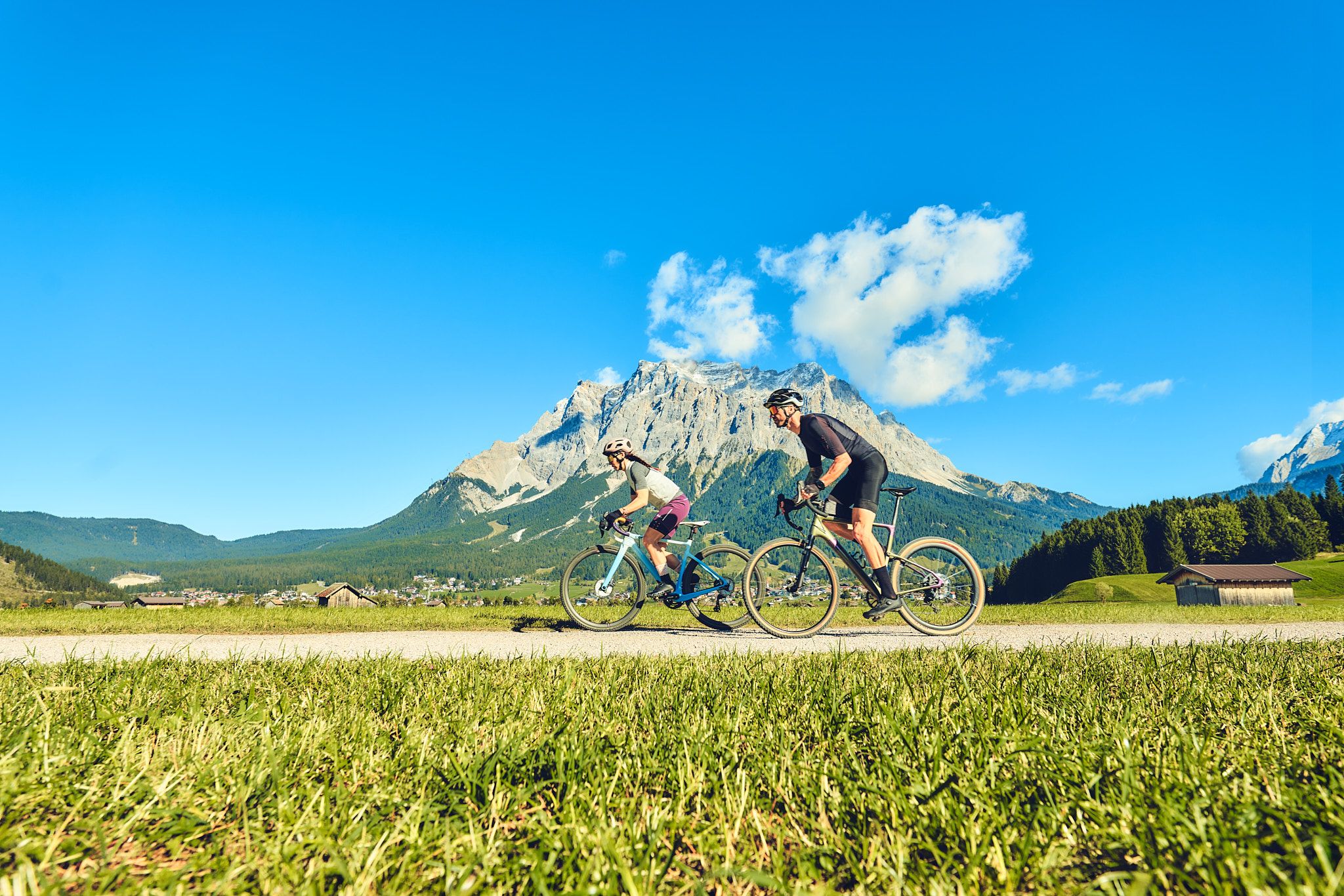
Experience the Außerfern in Tyrol's largest gravel bike region
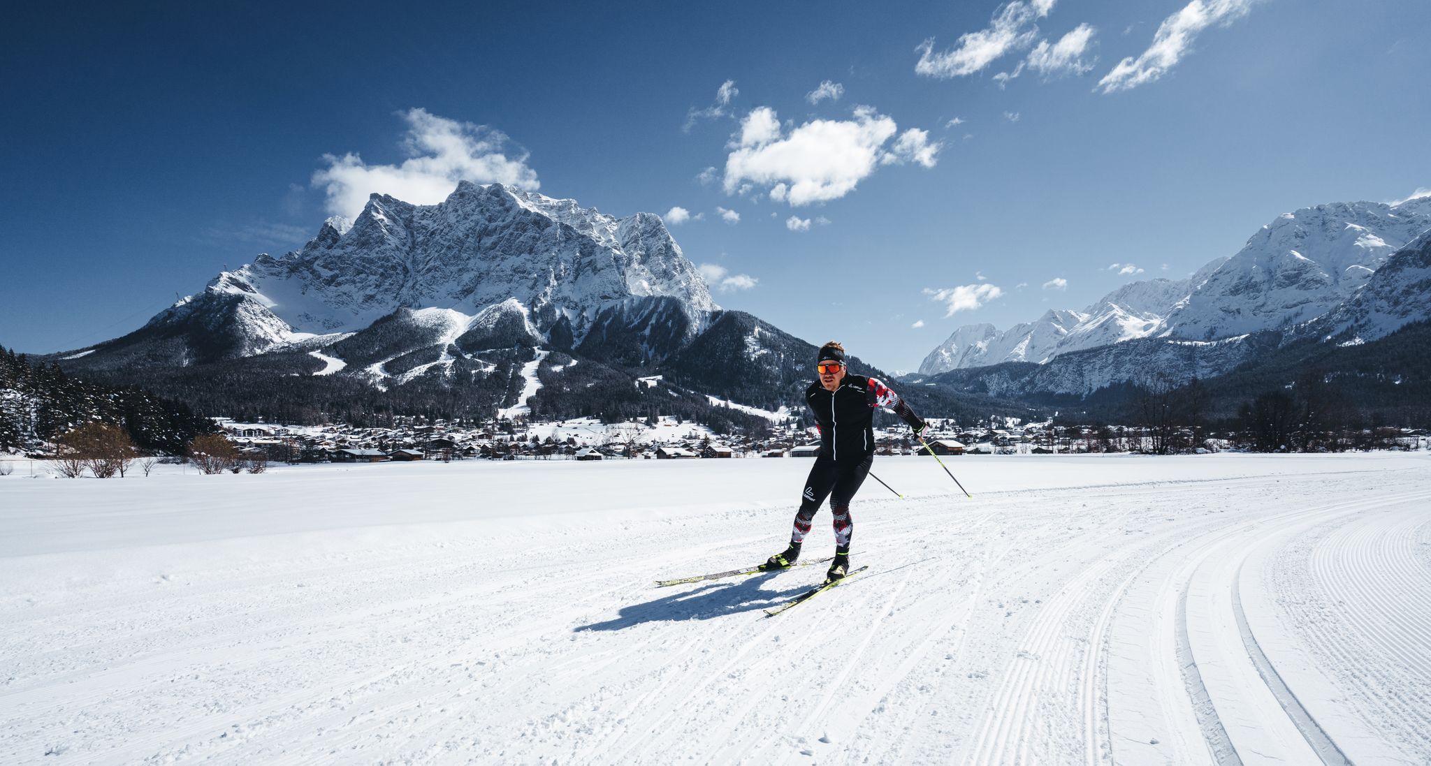
Glide and enjoy – cross-country skiing in the Tyrolean Zugspitz Arena
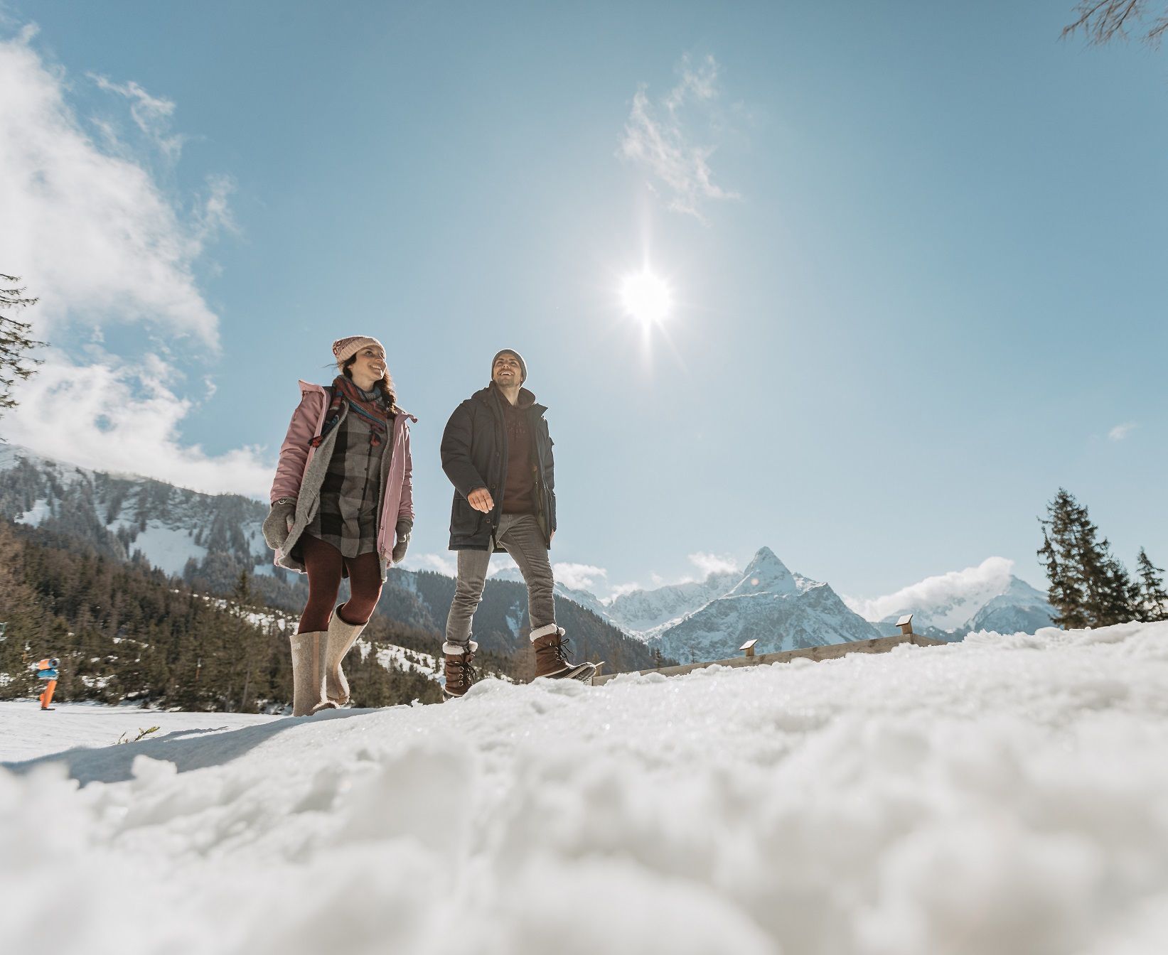
Step into winter hiking bliss – Tyrolean Zugspitz Arena
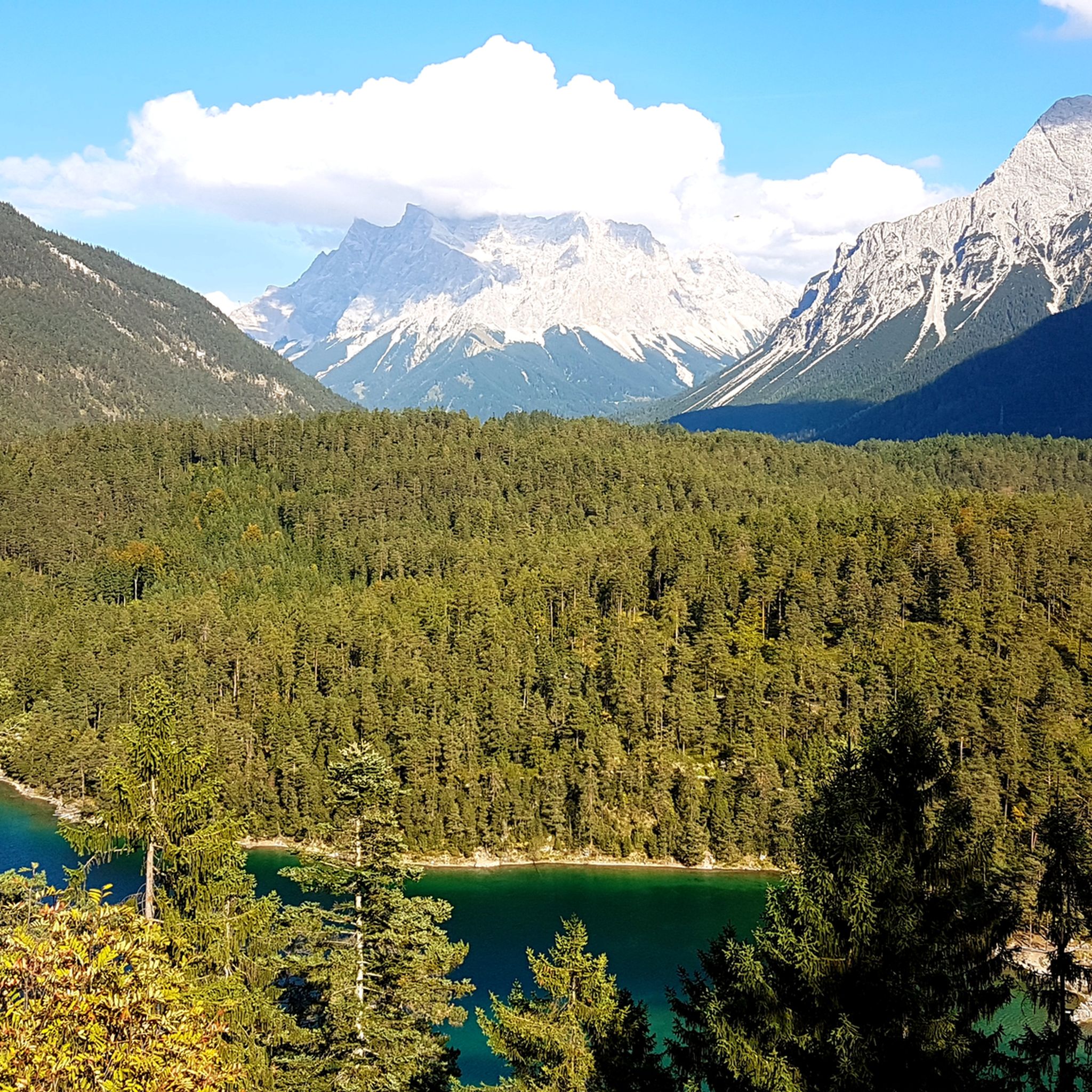
Hiking around Bichlbach
Cycling around Bichlbach

Gravel biking around Bichlbach
Road Cycling Routes around Bichlbach
Running Trails around Bichlbach
MTB Trails around Bichlbach
Other adventures around Bichlbach


Tips from the Community

The hike from this mountain pass down into the valley is beautiful. There are hardly any other hikers for miles around, as there is hardly any infrastructure in the form of huts or cable cars nearby.
0
0
In my experience, the via ferrata has sections rated at most A/B to B. We did it as a descent from the summit. Not particularly difficult, but very exposed, and therefore with a risk of falling several hundred meters in some places. I would highly recommend a via ferrata set, even for experienced climbers...
0
0


Last time water before the summit or when doing the Danielgrat
0
0

We actually made it up 💪🏼It was a strenuous climb but was rewarded with an amazing view. Unfortunately, we couldn't stay at the summit cross for long because we would have been eaten by mosquitoes. A narrow path leads over the ridge to the cross. Personally, I had to struggle a bit with my fear of heights. Just keep going straight and enjoy the view when you reach the end 😍
0
1

If the visibility is good, you can even see the Hochfeiler, 78 km away, and the Olperer next to it. In the other direction, you can see the small peak of the Wildspitze :)
0
0
Frequently Asked Questions
How many mountaineering routes are available around Bichlbach?
Bichlbach offers an extensive network of over 200 mountaineering routes. These range from easier paths to challenging ascents, catering to various skill levels within the stunning alpine landscape of the Tiroler Zugspitz Arena.
Are there any easy mountaineering routes suitable for beginners in Bichlbach?
Yes, while many routes are challenging, there are approximately 11 easier mountaineering routes around Bichlbach. These provide a great introduction to the region's beautiful mountain terrain without requiring advanced experience.
What kind of terrain can I expect on mountaineering routes near Bichlbach?
The terrain around Bichlbach is incredibly diverse, featuring panoramic summits, challenging ascents, and picturesque elements like the Lech Valley and various lakes. You'll encounter the imposing peaks of the Lechtal Alps, Wetterstein Mountains, and the iconic Zugspitze, offering a dramatic backdrop to your adventures.
Are there any circular mountaineering routes in the area?
Yes, many routes around Bichlbach are designed as loops, allowing you to start and end in the same location. An example of a challenging circular route is the View of Bichlbächler Jöchle – Roter Stein Summit loop from Katastralgemeinde Bichlbächle, which offers significant elevation gain and takes around 7 hours to complete.
What are some notable natural landmarks or viewpoints I can discover on these routes?
The region is rich in natural beauty. From various viewpoints, you can see picturesque elements like the Lech Valley, Heiterwanger See, and Plansee. The Thaneller mountain offers 360-degree vistas, and the beautiful Seebensee is a significant natural attraction, often viewed from the Coburger Hut. You can also find stunning views of Lake Eibsee and the Zugspitze.
Are there any family-friendly climbing activities in Bichlbach?
Absolutely! The Climbing Forest Bichlbach (Kletterwald Bichlbach) is a fantastic option for families. This alpine high ropes course features six exciting routes with over 60 climbing elements, including a 100-meter-long Flying Fox. It offers introductory courses for children as young as five, making it accessible for various ages and skill levels without requiring prior experience.
What is the best time of year for mountaineering in Bichlbach?
The mountaineering season in Bichlbach typically runs from late spring through early autumn, when the weather is most stable and trails are clear of snow. This period offers the best conditions to enjoy the panoramic summits and diverse mountain terrain.
What do other mountaineers say about the routes in Bichlbach?
The routes in Bichlbach are highly rated by the komoot community, with an average score of 4.8 stars from over 1,300 reviews. Mountaineers often praise the majestic mountain ranges, the diverse terrain, and the rewarding panoramic views from the summits.
Are there any historical sites or castles to explore near the mountaineering routes?
Yes, the region around Bichlbach is home to several historical sites. You can visit the impressive Ehrenberg Castle Ruins, explore the Roman path near Fernsteinsee Castle, or see the Fort Claudia Ruins (Hochschanz). The Fernstein Castle is also a notable landmark in the area.
Can I access mountaineering routes using public transport in Bichlbach?
Bichlbach is part of the Tiroler Zugspitz Arena, which generally offers good public transport connections. Hamlets like Lähn and Wengle, part of Bichlbach, serve as excellent starting points for excursions into the Ammergau and Lechtal Alps, often accessible via local bus services or the Außerfernbahn train line, which is a starting point for routes like the Sommerbergjöchle – Grubigstein Summit loop.
Are there options for more challenging mountaineering experiences?
Bichlbach is well-known for its challenging ascents, with 123 of its 209 routes classified as difficult. For instance, the Sommerbergjöchle – Bleispitze Summit (2,225 m) loop from Katastralgemeinde Bichlbächle is a demanding route that takes approximately 5 hours to complete, offering significant elevation gain and rewarding views.
What is the typical duration for a mountaineering route around Bichlbach?
The duration of mountaineering routes around Bichlbach varies significantly based on difficulty and distance. While some easier paths might take a few hours, more challenging routes, such as the View of Berwang – Hönig Summit loop from Berwang, can take around 6 hours 10 minutes to complete, covering alpine landscapes with impressive views.
Most popular routes around Bichlbach
Most popular attractions around Bichlbach

Get inspired with the komoot mobile app


Explore more
Browse the best Mountain Hikes & Routes in other regions.
