The best running trails around Kartitsch
4.5
(90)
3,632
runners
129
runs
Jogging routes around Kartitsch are situated in the sunny upper Lesachtal, at an altitude of 1,356 meters above sea level. The region is characterized by verdant meadows, high peaks of the Carnic Alps and Dolomites, and a diverse terrain that includes both paved surfaces and paths with significant elevation changes. This setting provides varied running experiences, from riverside paths to more challenging mountain trails.
Best jogging routes around Kartitsch
- The most popular jogging route is The Drava River – Drau…
Last updated: June 25, 2026
5.0
(1)
83
runners
14.3km
01:33
70m
70m
Moderate run. Good fitness required. Mostly paved surfaces. Suitable for all skill levels.
85
runners
8.87km
00:57
20m
20m
Moderate run. Good fitness required. Mostly paved surfaces. Suitable for all skill levels.

Sign up for free
4.7
(3)
59
runners
14.9km
01:41
250m
250m
Moderate run. Good fitness required. Mostly paved surfaces. Suitable for all skill levels.
5.0
(1)
53
runners
14.9km
01:35
50m
50m
Moderate run. Good fitness required. Mostly paved surfaces. Suitable for all skill levels.
28
runners
5.97km
00:38
40m
40m
Moderate run. Good fitness required. Mostly paved surfaces. Suitable for all skill levels.
Get access to more routes and recommendations from other explorers.
Sign up for free
Already have an account?
Our route recommendations are based on thousands of hikes, rides, and runs completed by other people on komoot.
Start today with a free account
Your next adventure awaits.
Login or Signup
Popular around Kartitsch
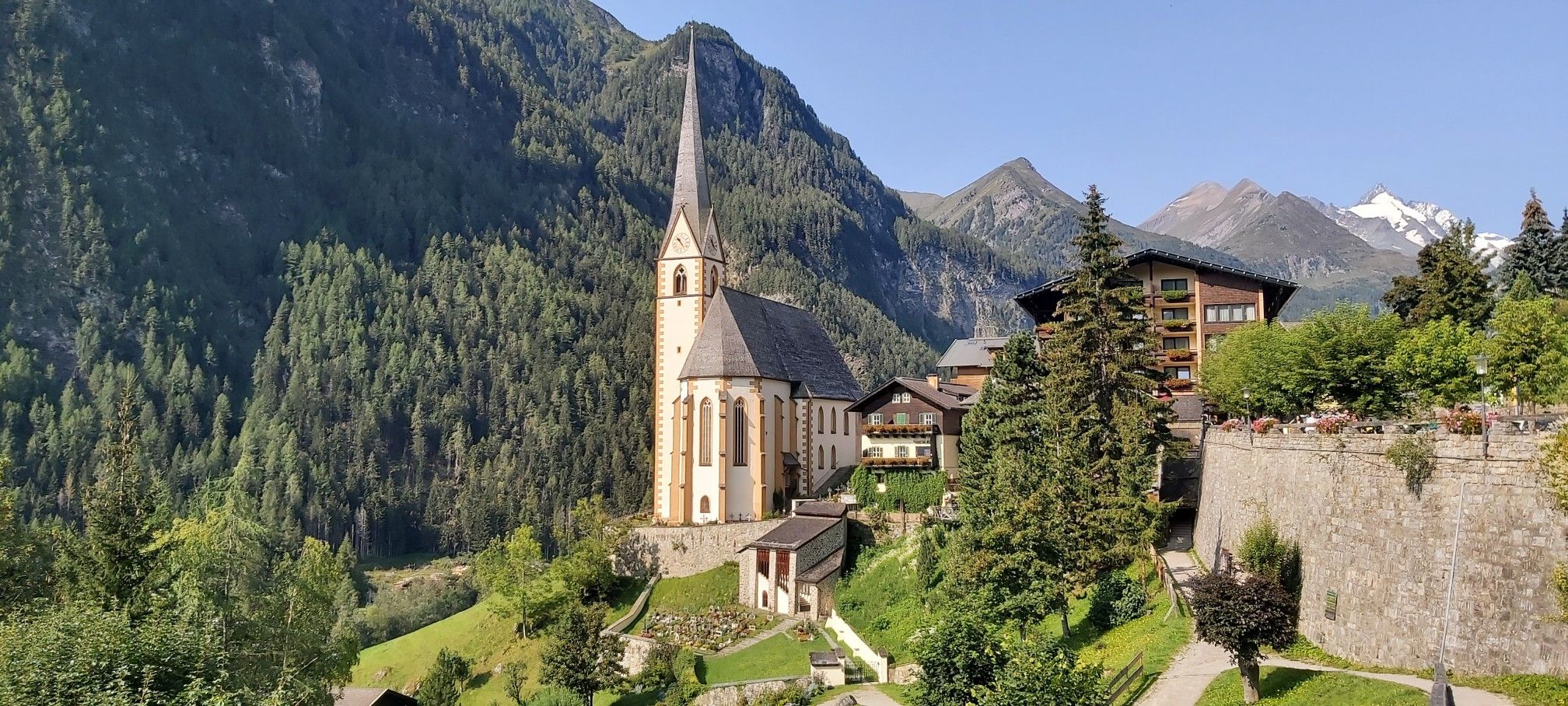
Austria's High & Holy Pilgrimage Trail – Walking across mountains and borders
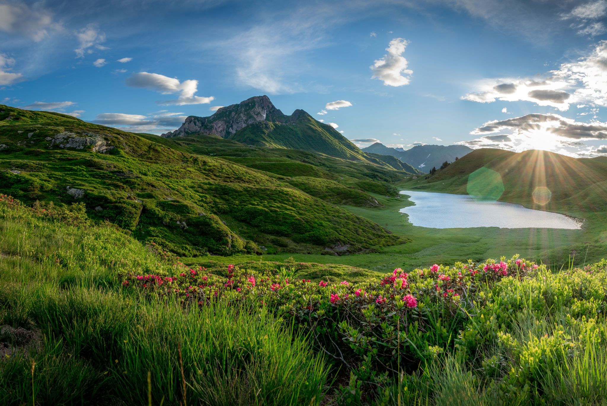
Southern Alpine Trail – Styrian vineyards and the Carnic Alps in Austria
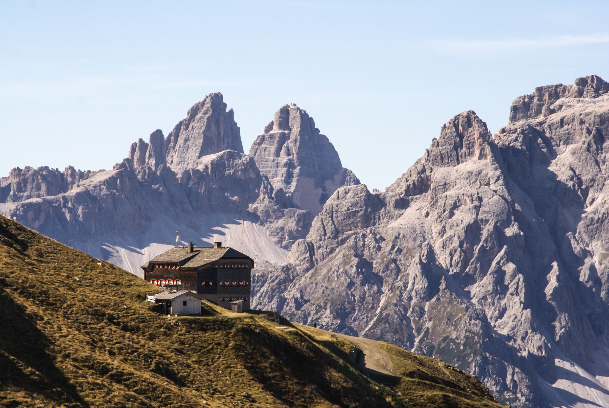
Alpine bliss on the long-distance hiking trails in East Tyrol
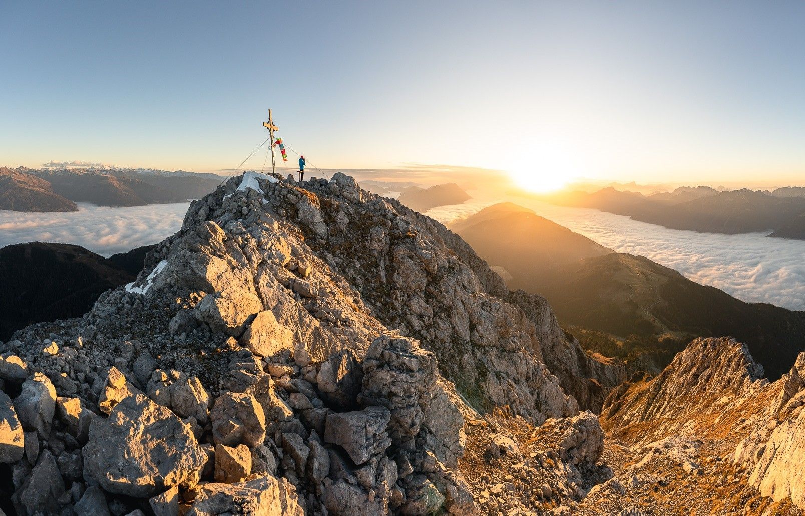
High up on the Gailtaler Höhenweg
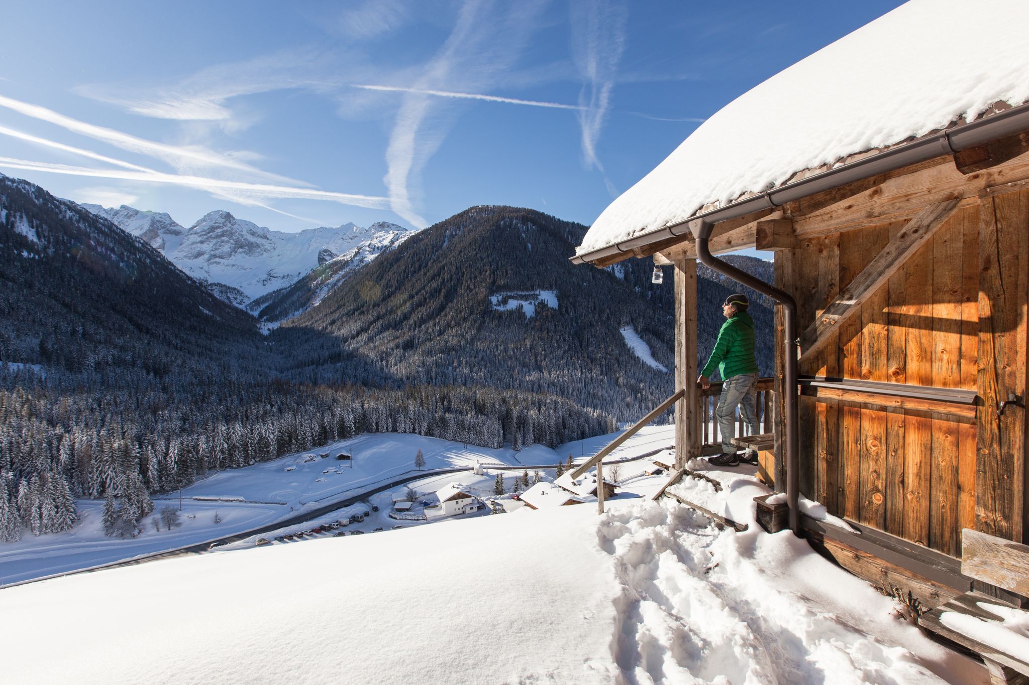
Winter highlights in Tyrol for everyone's taste
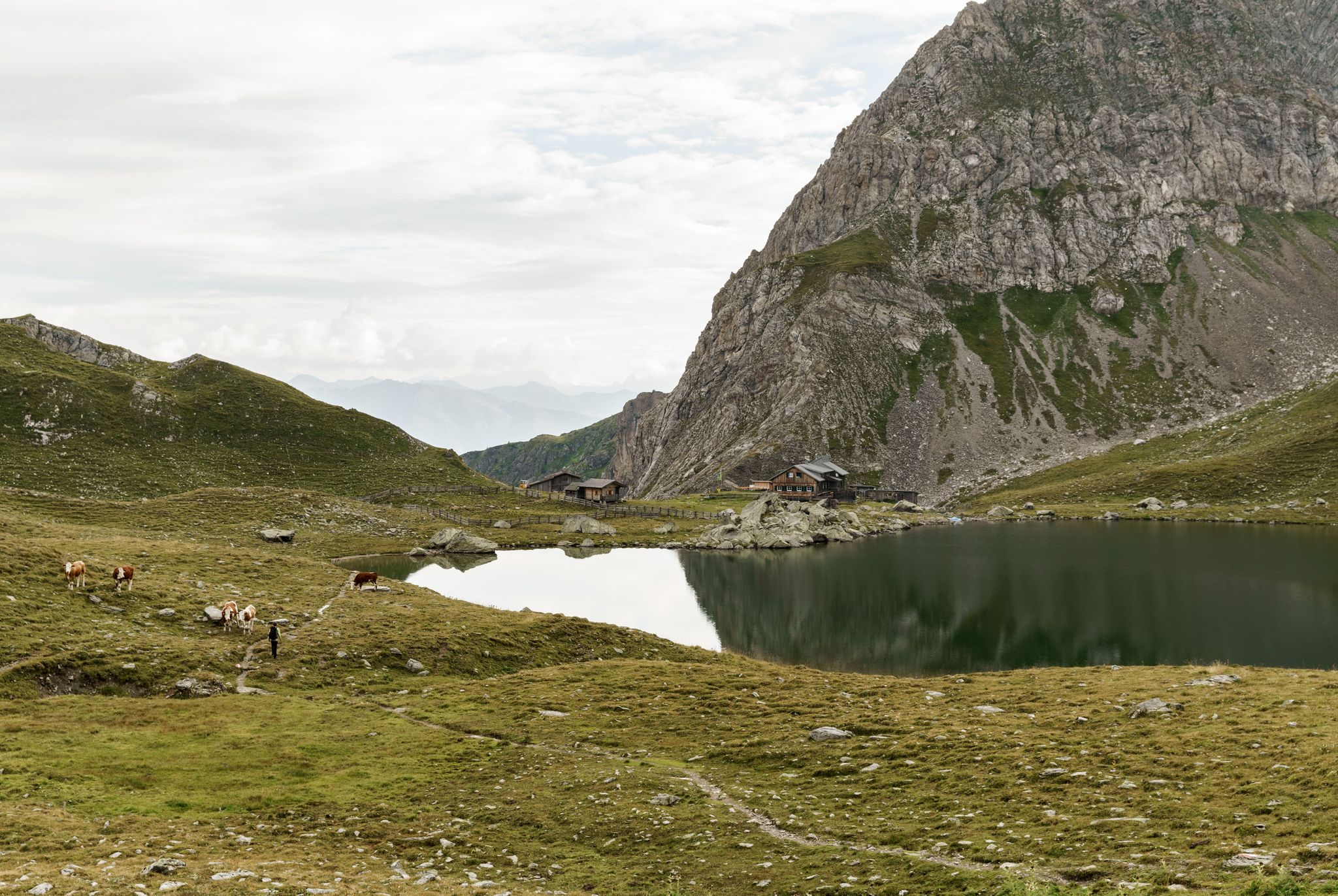
Ridge walking on the Carnic High Trail — Great Walks
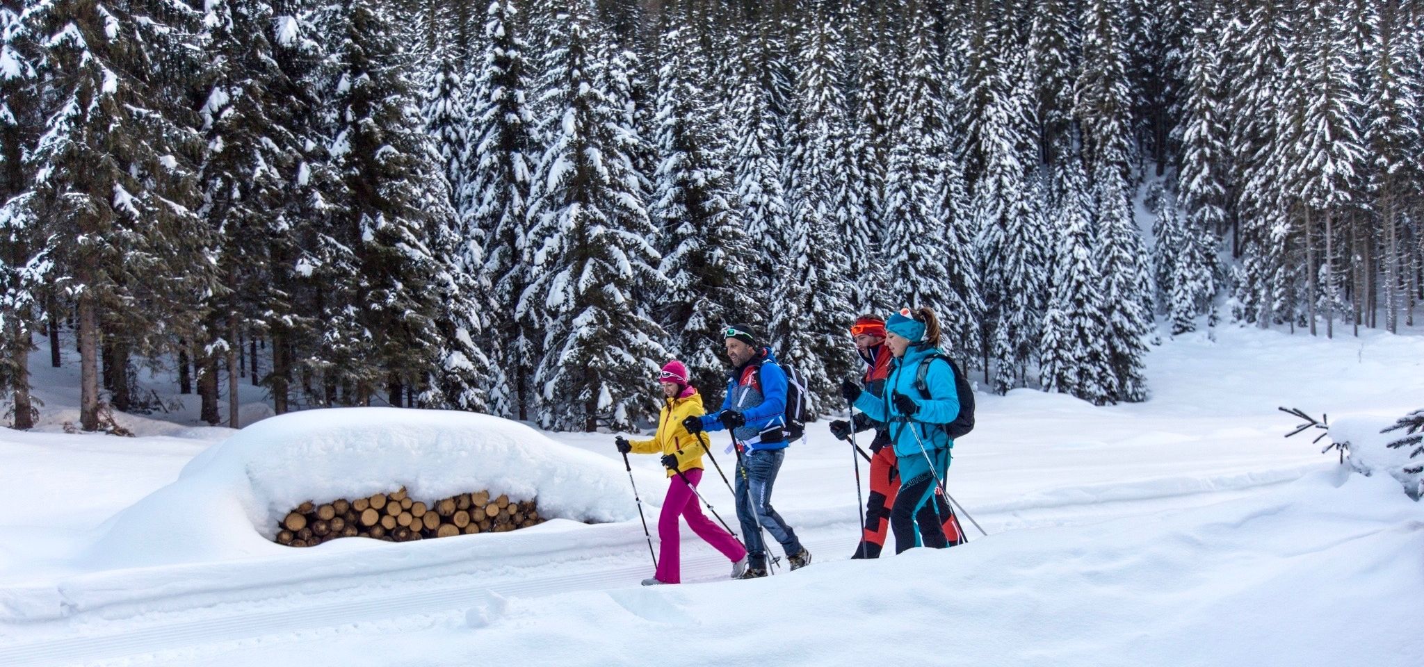
Nature experiences around the Winter Hiking Village Kartitsch
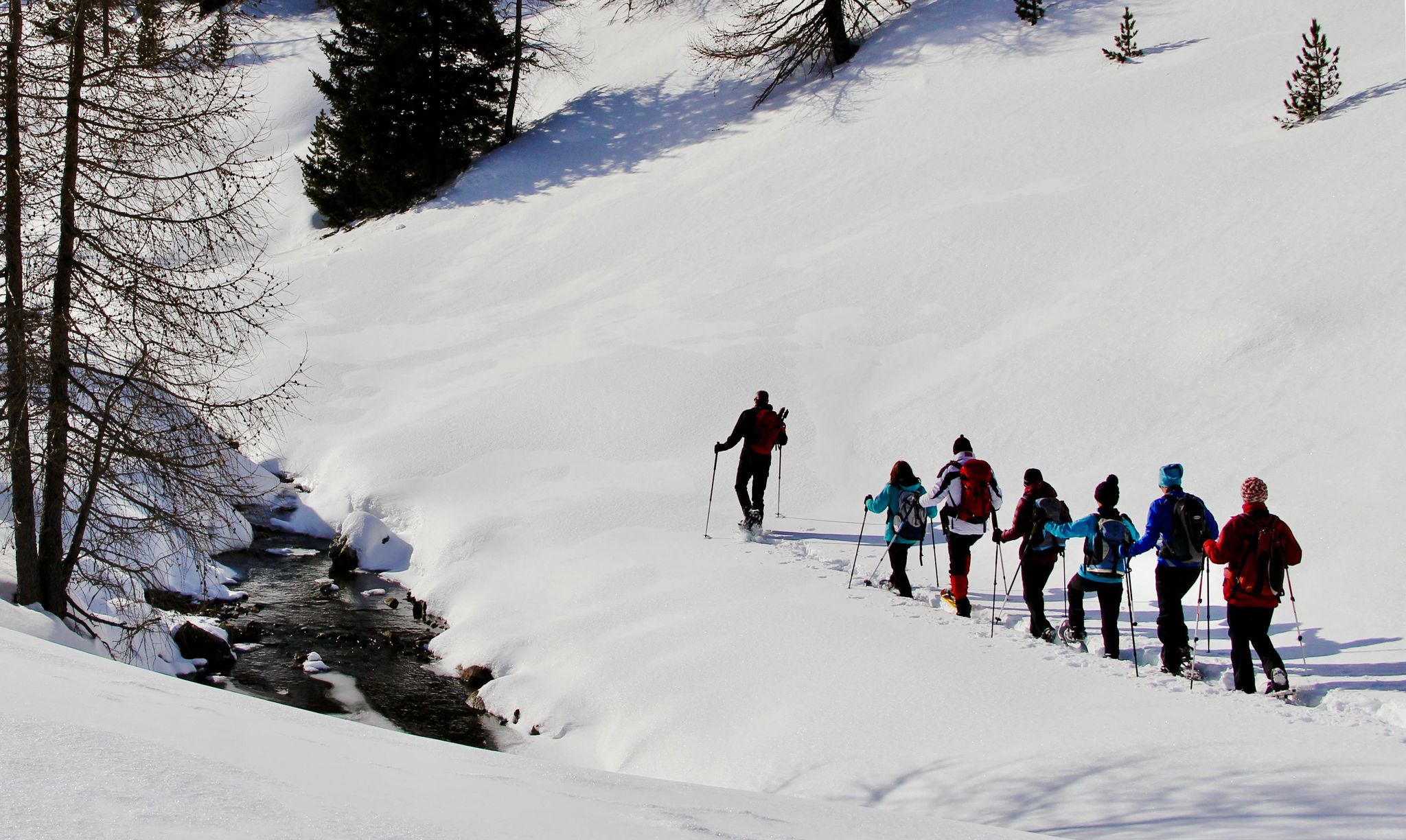
Snowshoe magic in East Tyrol
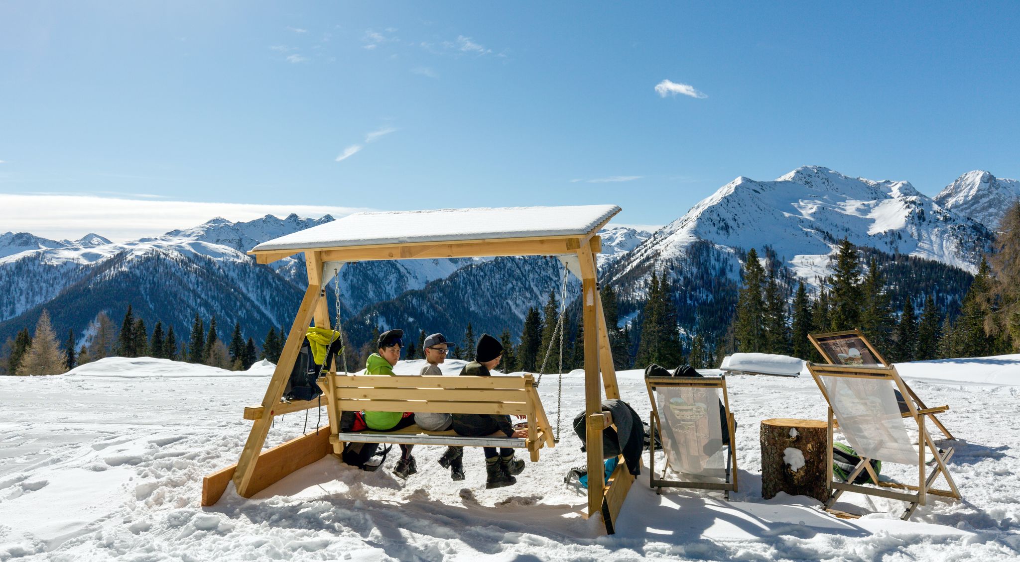
Herzliche Gastlichkeit & traditionelle Kulinarik – Winterwandern in Osttirol
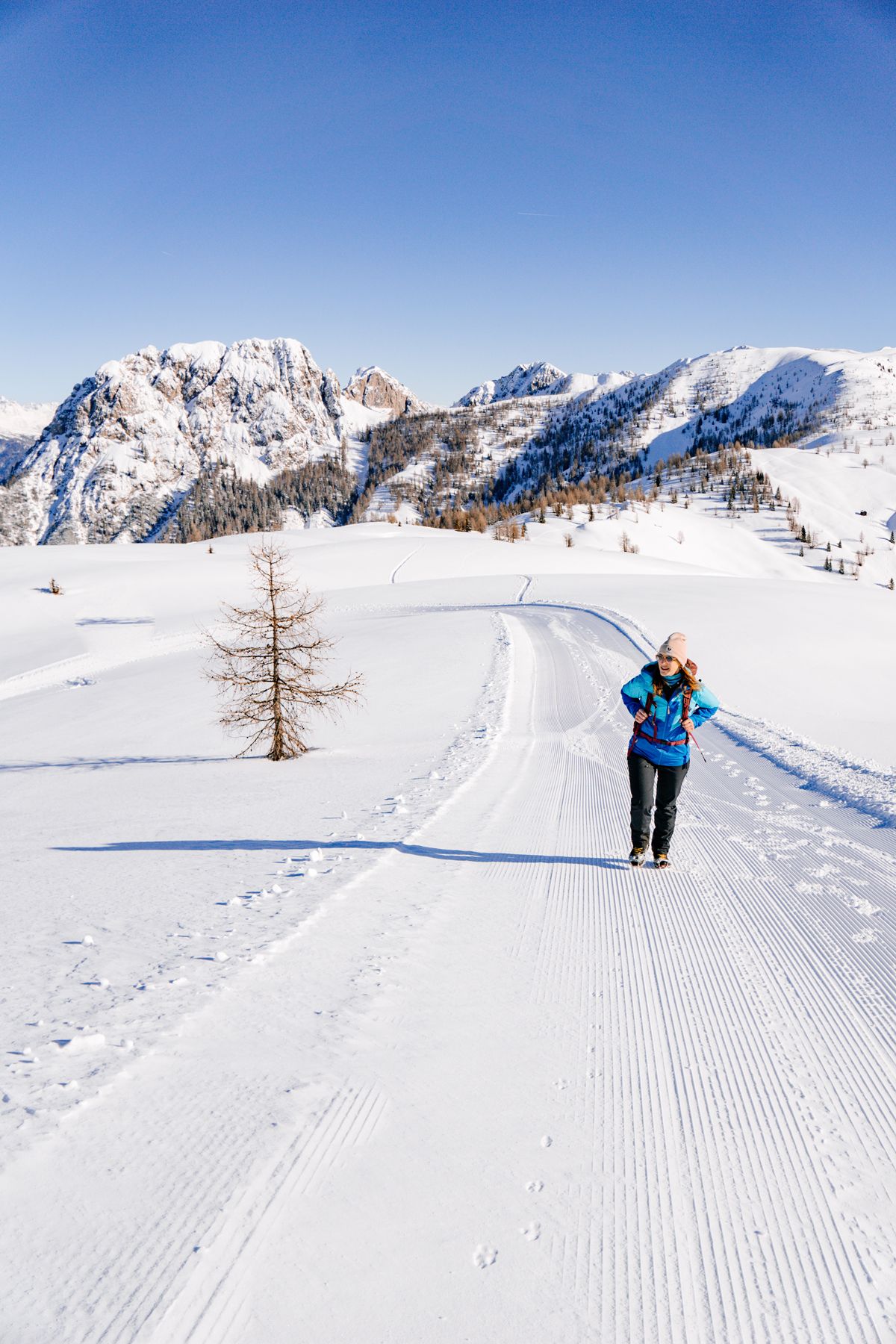
Winterwandertage – gemeinsam Osttirol erleben
Other adventures around Kartitsch


Tips from the Community

Very nice cycle path with a great panorama of the mountains.
0
0

The Drava Cycle Path is well-developed on the route from San Candido to Silian. Occasionally, you'll cross the river and see the Drava changing its course.
0
0

...a great region, not just for mountain biking! 🚵 There are many well-developed bike paths and trails!
3
0
...a great region, not just for mountain biking! 🚵 There are many well-developed bike paths and trails!
3
0

Don't take the high road but stay on it
0
0

Without control 😎
5
0
Great for cycling
4
0
The Drava (less commonly Drave; Italian, Slovenian, and Croatian Drava, Hungarian Dráva) is a tributary of the Danube that rises in South Tyrol, Italy, then flows through East Tyrol and Carinthia (Austria), as well as Lower Styria (Slovenia), Croatia, and Hungary. With a length of 749 km and an average discharge of 670 m³/s, it is the fourth-longest tributary of the Danube after the Tisza, Prut, and Sava. Source: https://de.wikipedia.org/wiki/Drau
2
0
Frequently Asked Questions
How many running routes are available in Kartitsch?
Kartitsch offers a wide selection of over 130 running routes, catering to various preferences and fitness levels. These trails traverse the beautiful landscapes of the upper Lesachtal, providing diverse experiences from riverside paths to more challenging mountain trails.
Are there running routes suitable for beginners or those looking for an easier jog?
Yes, Kartitsch has several routes ideal for beginners or those seeking a more relaxed pace. While there are 7 specifically easy routes, many of the 58 moderate trails also offer gentle gradients, often following river paths. These routes allow you to enjoy the verdant meadows and fresh mountain air without significant elevation changes.
What kind of terrain can I expect on the running trails around Kartitsch?
The running trails in Kartitsch offer a diverse mix of terrains. You'll find everything from mostly paved surfaces on easier routes to more challenging paths with significant elevation changes. Many routes wind through lush, green meadows, while others ascend to offer impressive vistas of the Lienz Dolomites and the Carnic Alps.
Are there any circular running routes in Kartitsch?
Yes, many of the running routes in Kartitsch are designed as loops, allowing you to start and finish at the same point. For instance, the The Drava River – Drau Cycle Path Near Arnbach loop from Heinfels is a popular moderate option, and the more challenging Gerberbach loop from Sankt Oswald also offers a circular experience.
Can I find running routes with scenic views in Kartitsch?
Absolutely. Kartitsch's location in the Gailtal, surrounded by the Carnic Alps and the Dolomites, means many routes offer breathtaking panoramic views. You can expect impressive vistas of the Lienz Dolomites, the Carnic Alps, and even glimpses of Italy, especially on paths that gain some elevation.
Are there any running trails that pass by waterfalls or other natural features?
Yes, you can find routes that incorporate natural features like waterfalls. For example, the Waterfall and Rest Area loop from Heinfels is a moderate 5.2 km route that allows you to experience a local waterfall.
What do other runners enjoy most about jogging in Kartitsch?
The running routes in Kartitsch are highly rated by the komoot community, with an average score of 4.4 stars from over 100 reviews. Runners often praise the stunning alpine scenery, the diverse terrain, and the well-maintained network of trails that cater to various skill levels.
Are there any challenging running routes for experienced runners?
Yes, Kartitsch offers 70 difficult routes for those seeking a greater challenge. A notable example is the Gerberbach loop from Sankt Oswald, a 15.4 km path with significant elevation changes and rewarding views of the alpine landscape.
Are the running trails in Kartitsch accessible during winter?
Kartitsch is recognized as Austria's first 'winter hiking village,' with 9 certified winter hiking paths that are maintained and cleared throughout the colder months. This commitment to trail maintenance suggests that many routes remain accessible and enjoyable for jogging even in winter, offering a unique experience amidst a snow-covered landscape.
Are there any huts or cafes along the running routes for breaks?
Yes, especially along many of the well-maintained trails, including the certified winter hiking paths, you can find simple, winter-proof resting places and cozy inns. These offer opportunities for breaks and refreshments during longer runs, allowing you to refuel and enjoy the surroundings.
What are some interesting landmarks or attractions near the running trails in Kartitsch?
While jogging, you'll be surrounded by the impressive Lienz Dolomites and Carnic Alps. Nearby attractions include various mountain peaks like Dorfberg and Golzentipp Peak, offering spectacular views. There are also several huts such as Talschlusshütte (Fondo Valle Hut) and Sillianer Hut (Rifugio Sillianer) that can be found in the wider region.
Are there any running routes that follow river valleys?
Yes, several routes in Kartitsch follow river valleys, providing mostly flat terrain and pleasant scenery. The The Drava River – Drau Cycle Path Near Arnbach loop from Heinfels is a prime example, offering a moderate run along the Drava River. Another option is the Tasserbacher Reservoir – The Drava River loop from Heinfels, which also leads through river valleys.
Most popular routes around Kartitsch
Most popular attractions around Kartitsch

Get inspired with the komoot mobile app


Explore more
Browse the best Running Trails & Routes in other regions.
