The best mountain hikes around Flaurling
4.8
(365)
3,892
hikers
132
hikes
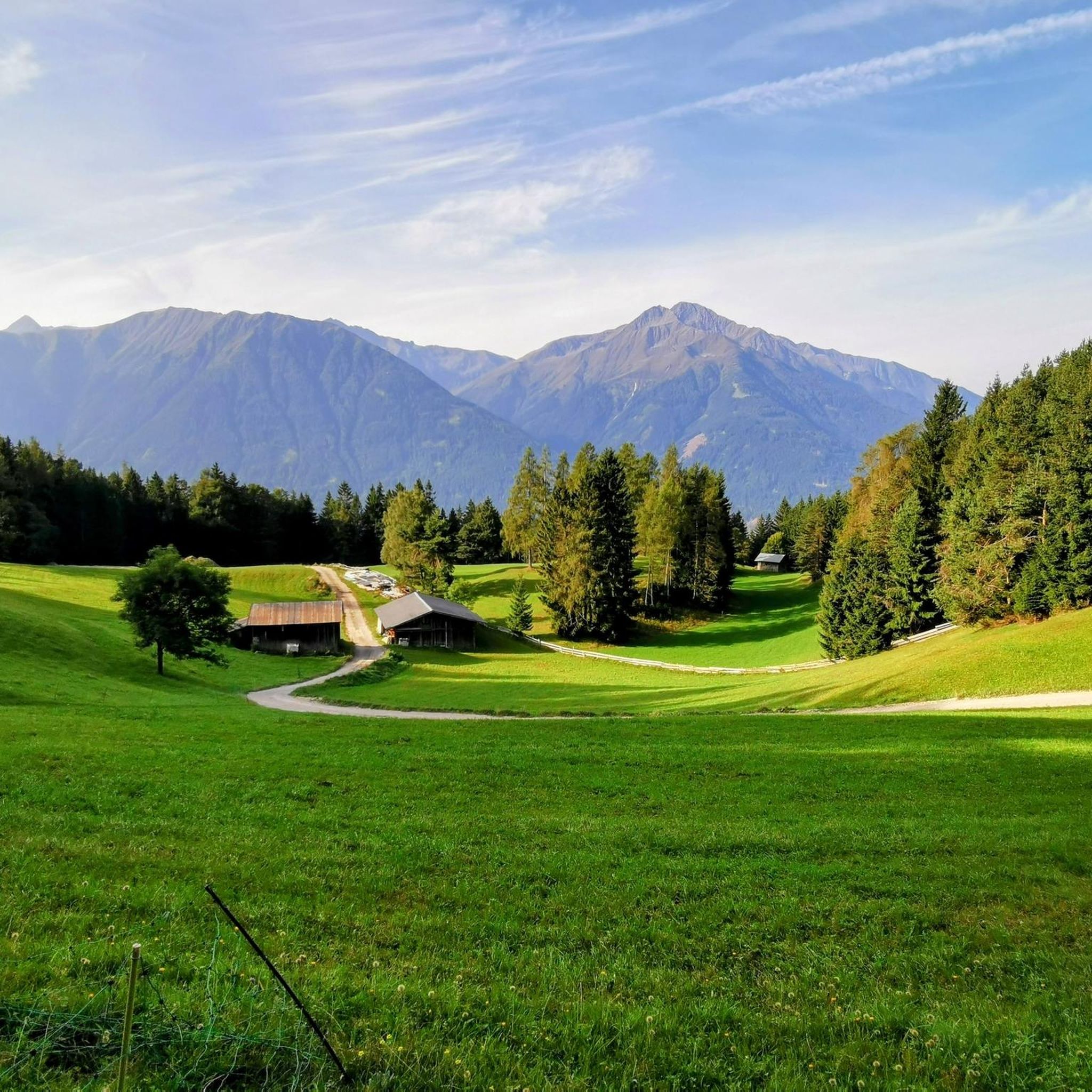
Mountaineering routes Flaurling provide access to the formidable Stubai Alps and the northern Sellrain mountains, offering a dramatic backdrop for high-alpine adventures. The region is characterized by diverse mountainous terrain, including challenging peaks and varied ridge hikes. Flaurling's location in the wind-sheltered Inn Valley also offers contrasting landscapes, from river paths to elevated viewpoints.
Best mountaineering routes around Flaurling
- The most popular mountaineering route is Rietzer Grießkogel Summit – Summit ascent with cross loop from Kleiner Mugkogel, a 6.3…
Last updated: July 7, 2026
5.0
(7)
82
hikers
Hard mountaineering route. Very good fitness required. Sure-footedness, sturdy shoes and alpine experience required.
4.0
(1)
58
hikers
15.4km
05:31
810m
810m
Hard mountaineering route. Very good fitness required. Sure-footedness, sturdy shoes and alpine experience required.

Sign up for free
4.5
(2)
45
hikers
8.14km
04:01
670m
670m
Moderate mountaineering route. Good fitness required. Mostly accessible paths. Sure-footedness required.
5.0
(1)
16
hikers
11.0km
06:02
1,000m
1,000m
Hard mountaineering route. Very good fitness required. Sure-footedness, sturdy shoes and alpine experience required.
5.0
(1)
17
hikers
9.09km
05:55
1,060m
1,060m
Hard mountaineering route. Very good fitness required. Sure-footedness, sturdy shoes and alpine experience required.
Get access to more routes and recommendations from other explorers.
Sign up for free
Already have an account?
Our route recommendations are based on thousands of hikes, rides, and runs completed by other people on komoot.
Start today with a free account
Your next adventure awaits.
Login or Signup

Tips from the Community


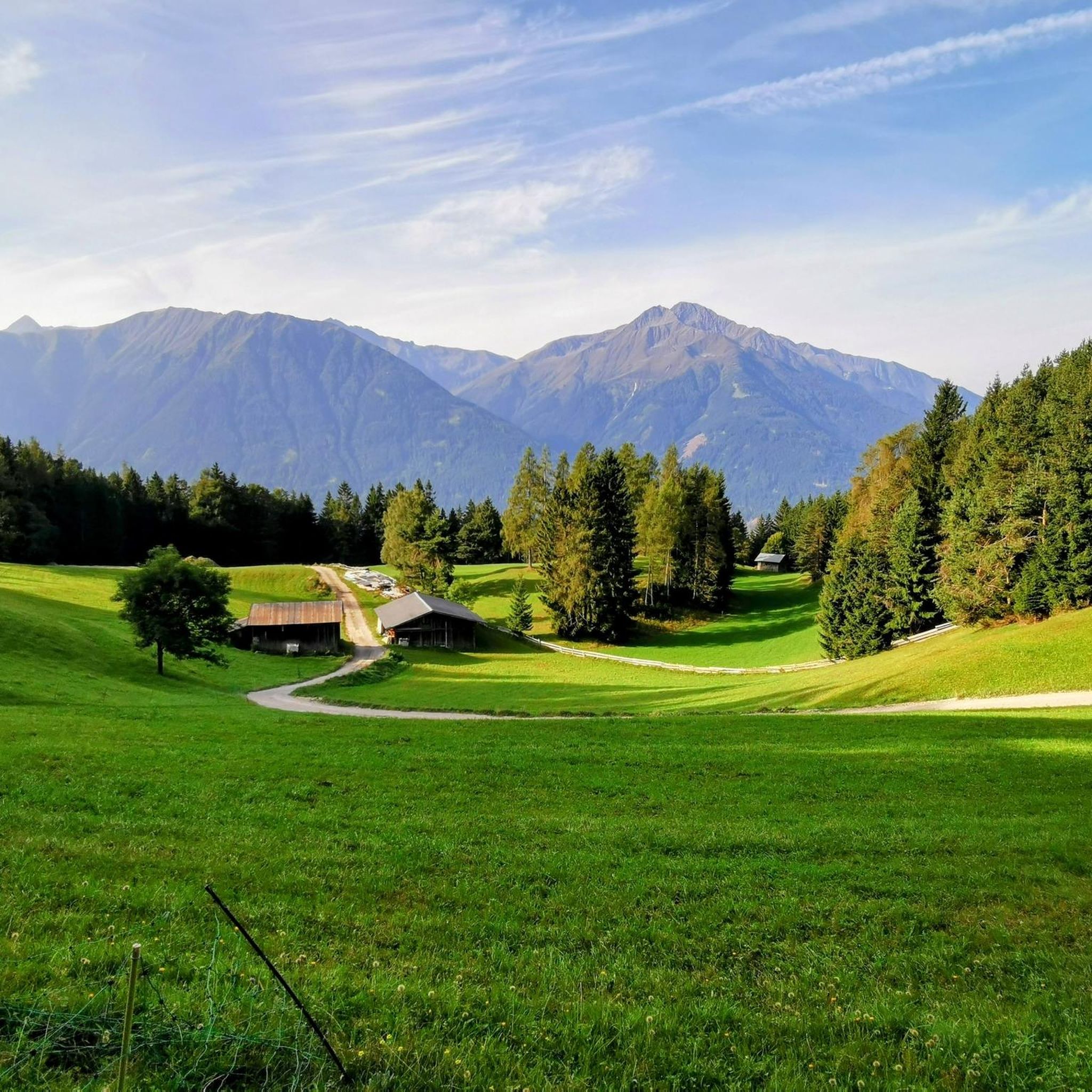
Beautiful alpine pasture, view of the Rangger Köpfl from behind.
0
0

DAV shelter with friendly staff and good food.
1
0

On the southern shore of the lake stands the land art structure Apollontempel am Hundstalsee, built between 1986 and 2006.
0
0
If there is enough snow and the conditions are very safe, you can also ski directly from the Narrenböden down the steep south-facing slopes.
0
0

The Pforzheimer Hut is a beautiful German Alpine Club (DAV) hut in the Sellrain touring area. Open summer and winter, it's run by a friendly team.
0
0

At 2,884 m, the Riezer Grießkogel is the highest peak in the Northern Sellrain Mountains in the Stubai Alps. The view, especially of the Wetterstein Mountains but also of the Karwendel, Innsbruck, etc., is excellent. In summer, the mountain can be reached by a fairly easy hike, only about 1,000 meters in altitude must be covered. However, the mountain is much more popular in winter for ski tours.
1
0

Magnificent mountain with a great view in the west of Innsbruck. Quite a lonely approach from St. Quirin. Completely overcrowded from the cable car (up to the Rangger Köpfl). The north ridge is steep, a bit exposed. Beautiful views down to the Inzinger Alm. At the very top there is a shady gully with a wire rope and then 1.5 m of climbing. The east ridge is walking terrain, not marked but easy to find. Normal route along many marble structures.
0
0
Frequently Asked Questions
How many mountaineering routes can I find around Flaurling?
Flaurling offers a wide array of mountaineering opportunities, with over 130 routes available. These range from moderate paths to challenging summit ascents, primarily exploring the Stubai Alps and the northern Sellrain mountains.
What kind of terrain can I expect on mountaineering routes in Flaurling?
The terrain around Flaurling is highly diverse, characterized by high-alpine landscapes, dramatic peaks, and varied ridge hikes. You'll encounter challenging ascents in the Stubai and Sellrain Alps, as well as stunning panoramic views of the Inn Valley.
Are there any circular mountaineering routes in Flaurling?
Yes, Flaurling features several excellent circular routes. For a challenging high-alpine experience, consider the Gleirschalm – Pforzheimer Hut loop from Sankt Sigmund im Sellrain, which connects mountain huts over 9.6 miles. A moderate option is the Apollon Temple at Hundstalsee loop from Rangger Köpfl, leading past a notable lake.
What are some notable landmarks or natural features to look out for on these routes?
Many routes offer breathtaking views of the Inn Valley and the majestic Hohe Munde mountain. You might also encounter alpine lakes like Hundstalsee, or pass by the Wildmoos Alm, which is both a hut and a lake highlight. The Leithen Viewpoint also provides expansive panoramas.
Are there any huts or places to rest along the mountaineering trails?
Yes, the region has several mountain huts that can serve as rest stops or even overnight stays. Notable options include the Nördlinger Hut and the Rauthütte. Some routes, like the Gleirschalm loop, are specifically designed to connect these mountain huts.
What is the typical duration for a mountaineering route in Flaurling?
Route durations vary significantly based on difficulty and distance. For instance, the moderate Apollon Temple at Hundstalsee loop typically takes around 4 hours. More challenging routes, such as the Rietzer Grießkogel Summit ascent, can take over 5.5 hours.
What do other mountaineers enjoy most about the routes in Flaurling?
The komoot community highly rates mountaineering in Flaurling, with an average score of 4.9 stars from over 400 reviews. Reviewers often praise the stunning high-alpine scenery, the challenging yet rewarding ascents, and the panoramic views of the Inn Valley and surrounding peaks.
Are there any particularly challenging mountaineering routes for experienced climbers?
Absolutely. Flaurling provides access to formidable peaks in the Stubai and Sellrain Alps. Routes like the Plateau at Freihut loop from Sankt Sigmund im Sellrain involve significant elevation gain and are graded as difficult, offering a true test for experienced mountaineers.
Can I find any routes suitable for a beginner mountaineer?
While many routes are challenging, there are options for those new to mountaineering. The region offers a mix of difficulties, including some moderate paths that can serve as an introduction to alpine terrain. Always check the route's difficulty grade and prepare accordingly.
What is the best time of year for mountaineering in Flaurling?
The best time for mountaineering in Flaurling is typically during the warmer months, from late spring to early autumn, when trails are generally free of snow and weather conditions are more stable. Always check local weather forecasts and trail conditions before heading out, as high-alpine environments can change rapidly.
Are there any options for public transport to reach the trailheads?
Flaurling is located in the Innsbruck region, which generally has good public transport connections. While specific trailhead access might require local buses or a short taxi ride, it's advisable to research bus schedules from Flaurling or nearby towns to your chosen starting point.
Are there any family-friendly hiking options that offer mountain views, even if not full mountaineering?
While this guide focuses on mountaineering, Flaurling also offers gentler trails with mountain views. The Flaurlinger Bach Trail provides a serene path for peaceful walks, and the Flaurlinger Alm is a popular hiking destination accessible from the village, offering a taste of the alpine environment without extreme difficulty.
Most popular attractions around Flaurling

Get inspired with the komoot mobile app


Explore more
Browse the best Mountain Hikes & Routes in other regions.
