The best running trails around Oberhofen im Inntal
4.6
(429)
10,001
runners
337
runs
Jogging around Oberhofen im Inntal offers a variety of routes along the valley floor and into the surrounding hills. The region is characterized by the Inn River, which provides flat, accessible paths, and gentle forested slopes suitable for varied running experiences. These running routes often feature views of the valley and nearby villages.
Best jogging routes around Oberhofen im Inntal
- The most popular jogging route is Telfs – View of Telfs loop from Oberhofen im Inntal, a 6.6 miles…
Last updated: July 15, 2026
3.5
(2)
70
runners
10.6km
01:05
20m
20m
Moderate run. Good fitness required. Mostly paved surfaces. Suitable for all skill levels.
24
runners
6.72km
00:42
60m
60m
Moderate run. Good fitness required. Mostly paved surfaces. Suitable for all skill levels.

Sign up for free
26
runners
11.5km
01:18
250m
250m
Moderate run. Good fitness required. Mostly paved surfaces. Suitable for all skill levels.
5.0
(5)
21
runners
11.6km
01:12
50m
50m
Moderate run. Good fitness required. Mostly paved surfaces. Suitable for all skill levels.
5.0
(1)
19
runners
6.10km
00:38
20m
20m
Moderate run. Good fitness required. Mostly paved surfaces. Suitable for all skill levels.
Get access to more routes and recommendations from other explorers.
Sign up for free
Already have an account?
Our route recommendations are based on thousands of hikes, rides, and runs completed by other people on komoot.
Start today with a free account
Your next adventure awaits.
Login or Signup
Tips from the Community


Nice little village, is always worth a visit.
0
0


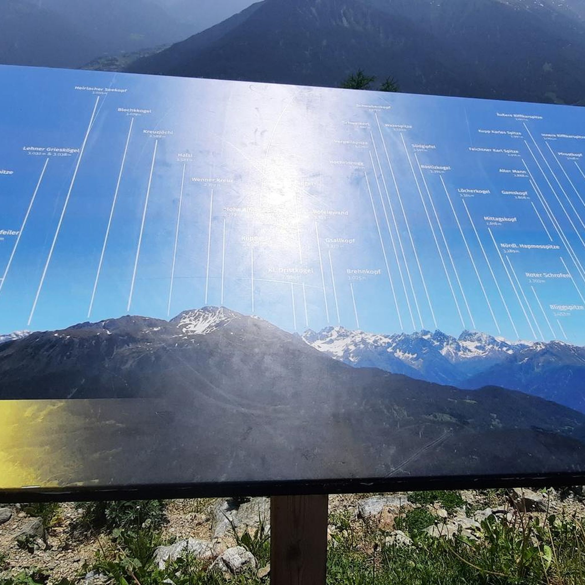
Nice path along the Inn with a view of the mountains (here in clouds)
6
0


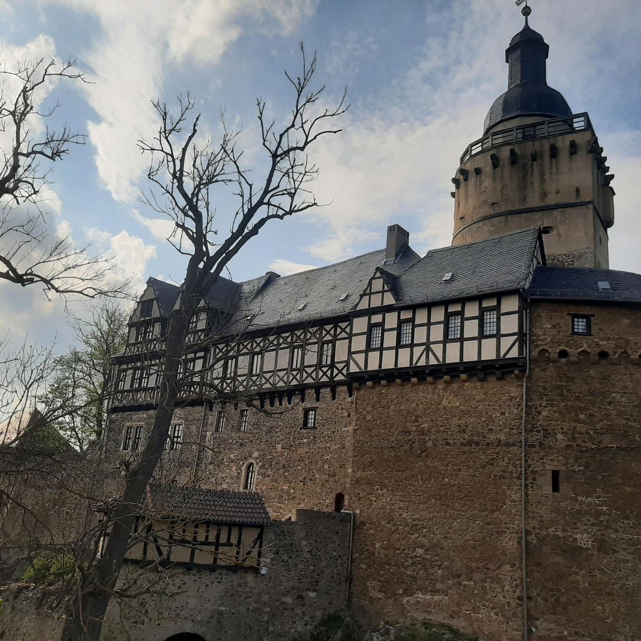
In the third largest municipality in Tyrol, history, tradition and modernity merge and present themselves in a rousing dynamic lifestyle. For a small stopover on a great tour, you can visit the many inviting cafes, which convince with fragrant cappuccino and warm apple strudel.
5
1
Frequently Asked Questions
How many running routes are available around Oberhofen im Inntal?
There are over 300 running routes in and around Oberhofen im Inntal, catering to various fitness levels. You'll find a mix of easy, moderate, and challenging trails to explore.
Are there easy running routes suitable for beginners in Oberhofen im Inntal?
Yes, Oberhofen im Inntal offers several easy running paths perfect for beginners. An excellent option is the View of Telfs loop from Telfs, which is an easy 2.9 miles (4.7 km) route providing accessible running with scenic vistas over the valley.
Where can I find longer running trails in Oberhofen im Inntal?
For longer runs, consider routes that extend along the Inn River or into the surrounding hills. The Running loop from Telfs-Pfaffenhofen is a moderate 7.0 miles (11.3 km) trail leading through rural landscapes, offering a good distance for endurance training.
What are the more challenging running options in the area?
If you're looking for a challenge, Oberhofen im Inntal has over 100 difficult routes. These often involve more significant elevation changes in the forested slopes surrounding the valley. Look for trails marked as 'difficult' on komoot for a more intense workout.
Are there family-friendly running paths suitable for all ages?
Many of the valley paths along the Inn River are relatively flat and well-suited for families. These routes often provide easy access and a pleasant environment for a run with children. The View of Telfs loop from Telfs is a good example of an easy, accessible route.
Are dogs allowed on the running trails in Oberhofen im Inntal?
Generally, dogs are welcome on most running trails in the Oberhofen im Inntal region. However, it's always recommended to keep your dog on a leash, especially in nature reserves or agricultural areas, and to clean up after them. Always check local signage for specific rules.
Which running routes offer the best scenic views?
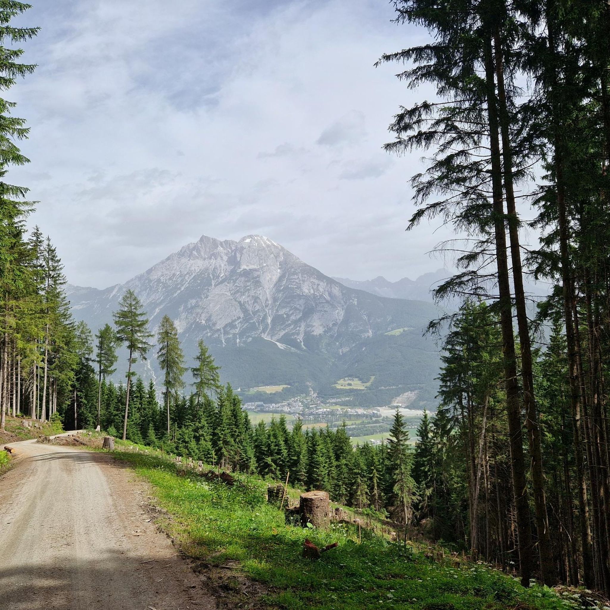
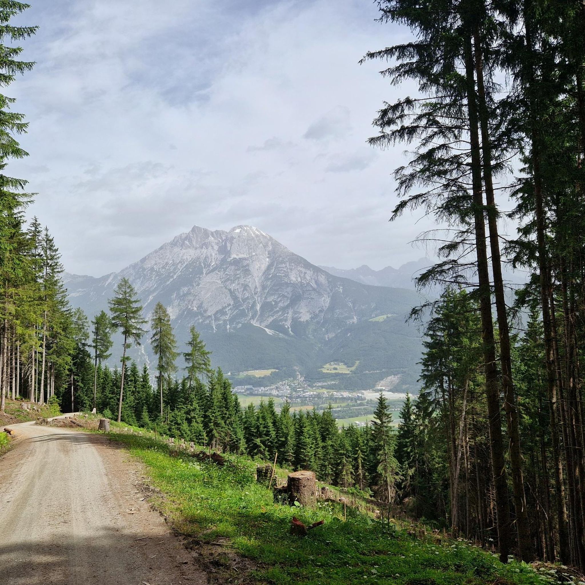
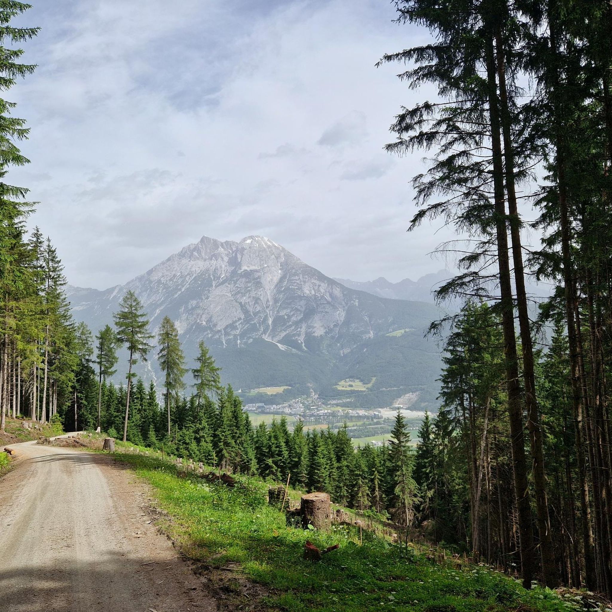
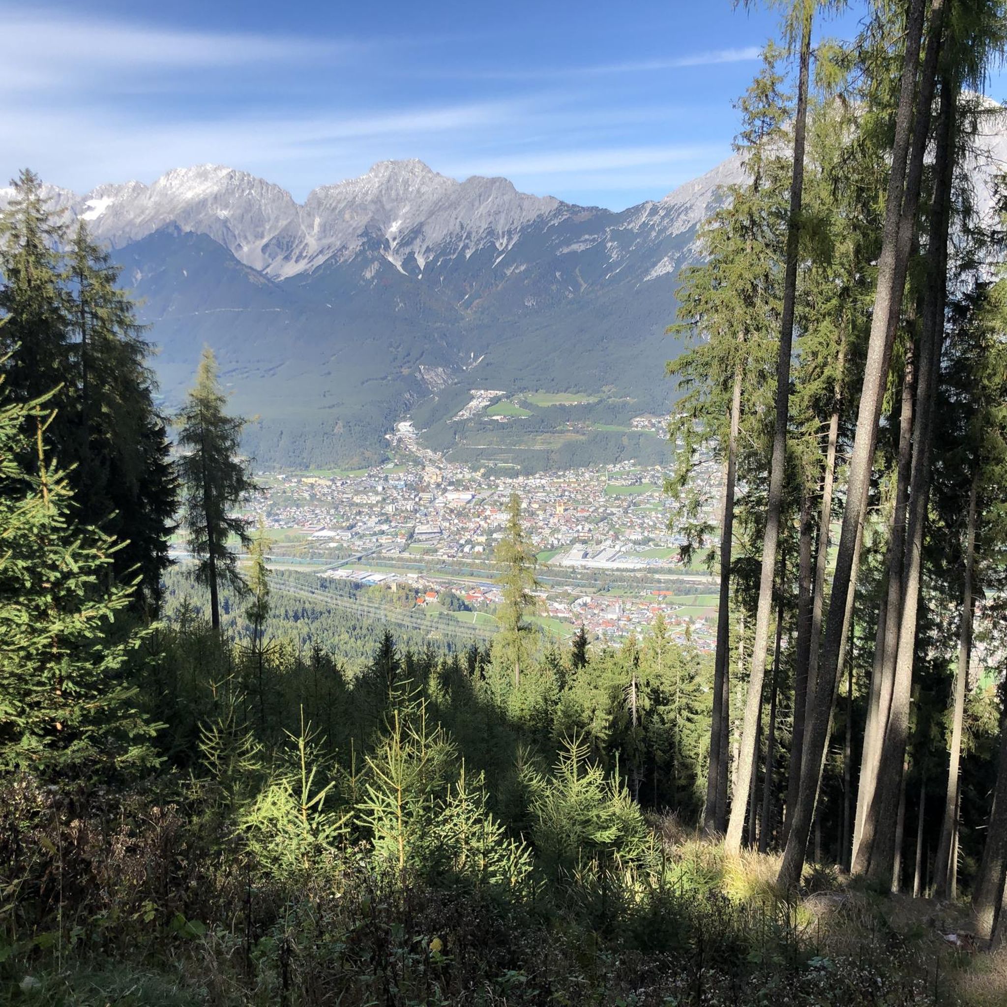
Many routes in the region offer beautiful views of the Inn Valley and the surrounding mountains. The Telfs – View of Telfs loop from Oberhofen im Inntal is particularly noted for its expansive views of Telfs and the landscape. Routes along higher elevations will also provide panoramic vistas.
What can I see along the jogging routes in Oberhofen im Inntal?
Beyond the natural beauty of the Inn Valley, you might encounter various natural monuments and water features. Highlights include the serene Eastern shore of Lake Möserer See or the tranquil Kaltwassersee. For those interested in waterfalls, the Waterfall on the Wasserfall-Steig Trail is a notable sight.
Is parking available near the running trails?
Yes, parking is generally available in and around Oberhofen im Inntal, particularly near trailheads or in the villages. Many routes start from accessible points where public parking is provided, though some may require a short walk to the actual trail start.
Can I reach running routes by public transport?
Oberhofen im Inntal and its surrounding villages are well-connected by public transport, including bus services. Many running routes are accessible from bus stops, making it convenient to reach trailheads without a car. Check local transport schedules for specific connections to your desired starting point.
When is the best time of year to go running in Oberhofen im Inntal?
The spring, summer, and autumn months (April to October) generally offer the most pleasant conditions for running, with milder temperatures and lush scenery. Summer mornings and evenings are ideal to avoid the midday heat. In winter, some valley paths may still be runnable, but higher elevation trails might be covered in snow or ice.
What do other runners enjoy the most about jogging in Oberhofen im Inntal?
The area is highly rated by the komoot community, with an average score of 4.6 stars from over 400 reviews. Runners often praise the variety of terrain, from flat river paths to forested slopes, and the beautiful views of the Inn Valley. The well-maintained trails and accessibility are also frequently highlighted.
Are there any circular running routes in the area?
Yes, many of the running routes around Oberhofen im Inntal are designed as loops, allowing you to start and finish at the same point. The Picnic Area Near Flaurling loop from Oberhofen im Inntal is a moderate 7.2 miles (11.6 km) circular route, perfect for a varied run without retracing your steps.
Most popular routes around Oberhofen im Inntal
Most popular attractions around Oberhofen im Inntal

Get inspired with the komoot mobile app


Explore more
Browse the best Running Trails & Routes in other regions.
