The best mountain hikes around Rattenberg
4.8
(94)
1,189
hikers
53
hikes
Mountaineering routes Rattenberg offer diverse terrain in the heart of Tyrol, characterized by scenic valleys, prominent peaks, and clear mountain lakes. The region features a mix of challenging ascents and routes with expansive views over the Zillertal Valley and Lake Reintal. This area provides a varied landscape for mountaineers, from forested slopes to more exposed mountain paths.
Best mountaineering routes around Rattenberg
- The most popular mountaineering route is View of Lake Reintal – View of the Reintaler See loop from…
Last updated: July 8, 2026
4.8
(16)
178
hikers
8.01km
03:34
470m
470m
Hard mountaineering route. Good fitness required. Sure-footedness, sturdy shoes and alpine experience required.
4.8
(15)
165
hikers
5.47km
02:47
420m
420m
Hard mountaineering route. Good fitness required. Sure-footedness, sturdy shoes and alpine experience required.

Sign up for free
5.0
(1)
54
hikers
9.06km
04:48
890m
890m
Hard mountaineering route. Good fitness required. Sure-footedness, sturdy shoes and alpine experience required.
5.0
(2)
23
hikers
16.0km
06:29
970m
970m
Hard mountaineering route. Very good fitness required. Sure-footedness, sturdy shoes and alpine experience required.
5.0
(1)
17
hikers
15.1km
05:37
1,000m
1,000m
Hard mountaineering route. Very good fitness required. Mostly accessible paths. Sure-footedness required.
Get access to more routes and recommendations from other explorers.
Sign up for free
Already have an account?
Our route recommendations are based on thousands of hikes, rides, and runs completed by other people on komoot.
Start today with a free account
Your next adventure awaits.
Login or Signup
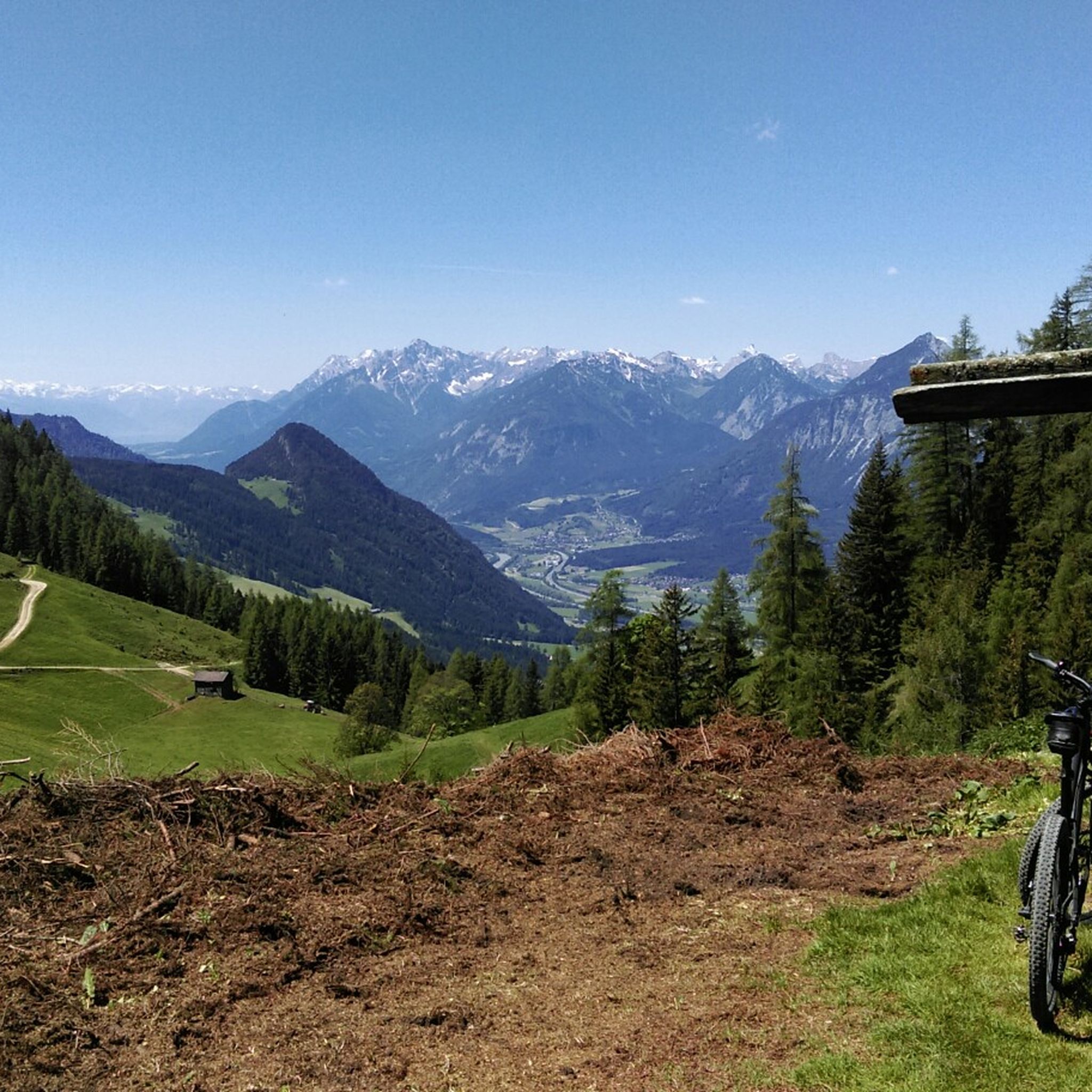
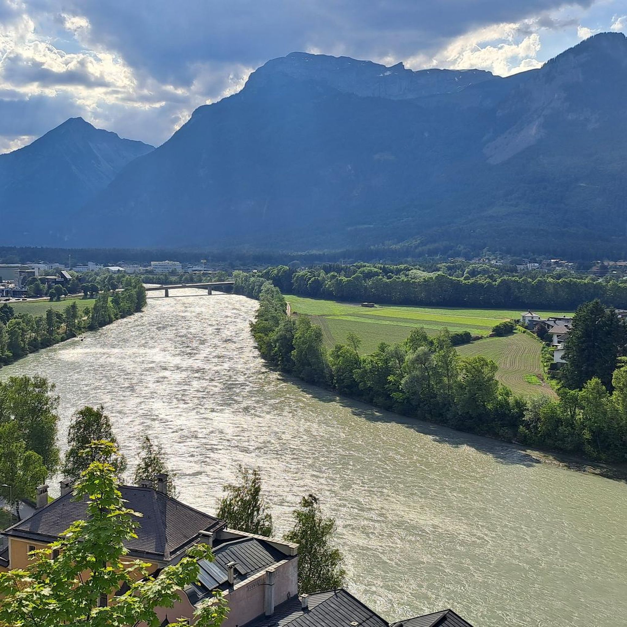
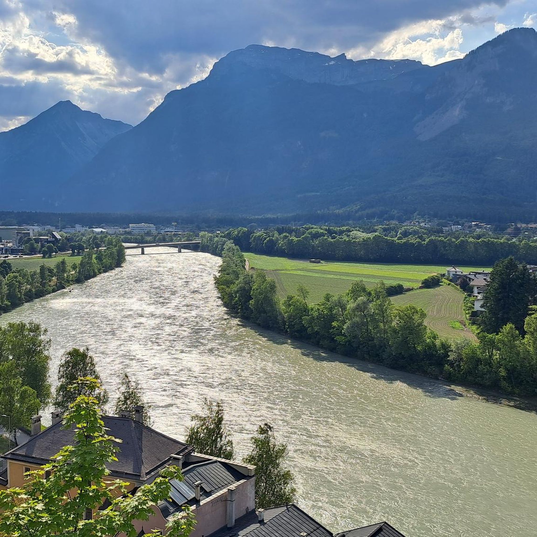
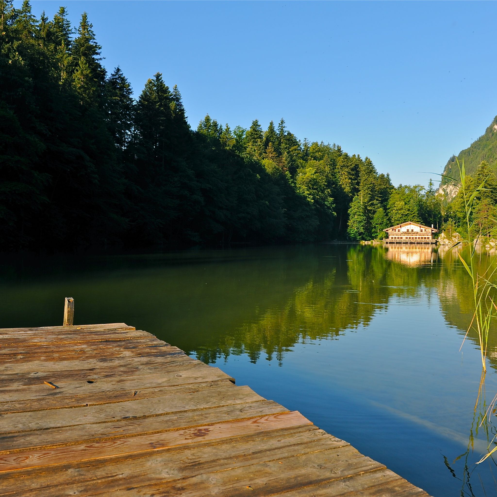

Tips from the Community

The climb is worth it: from up here, the water of the Reintaler See looks even more turquoise.
0
0


Great area, great campsites, great trips 🤗
1
0

On the Bayreuther Hütte, however, I was deeply disappointed. I had already booked a 4-bed room in January, so in good time. When we arrived late in the afternoon, we were sent to a 6-bed room. When I addressed the hut landlord about it, the response was only, I only have a 4-bed room. Long story short, this hut is taboo for us. The hike to Pertisau was long, but there were very beautiful paths and trails. However, the bus from Maurach to Pertisau only ran hourly.
0
0

In just a few minutes you walk through a small depression from the eastern to the northern summit cross, where you can see a part of Brandenberg.
0
0

A beautiful viewpoint 😎
1
0

Frequently Asked Questions
How many mountaineering routes are available around Rattenberg?
Rattenberg offers a wide variety of mountaineering experiences, with over 50 routes to choose from. This includes 5 easy, 20 moderate, and 32 difficult trails, catering to different skill levels.
Are there suitable mountaineering routes for beginners around Rattenberg?
Yes, Rattenberg has 5 easy mountaineering routes perfect for beginners or those looking for a less strenuous experience. These trails typically feature gentler ascents and well-maintained paths. You can find detailed information on these routes by filtering for 'easy' difficulty on komoot.
What are some challenging mountaineering routes near Rattenberg?
For experienced mountaineers seeking a challenge, Rattenberg offers 32 difficult routes. Notable options include the demanding View of the Zillertal Valley – Voldöppberg loop from Radfeld, which covers nearly 16 km with significant elevation gain, and the extensive Mountain rescue hut – Herrgottstein Shrine loop from Kramsach, offering over 1000 meters of ascent.
Are there family-friendly mountaineering options in Rattenberg?
While many routes are more challenging, there are 5 easy mountaineering routes that could be suitable for families with older children or those accustomed to hiking. These trails often feature less elevation gain and shorter distances. Always check the route details and difficulty before heading out with your family.
What is the best season for mountaineering in Rattenberg?
The best season for mountaineering in Rattenberg is typically from late spring to early autumn (May to October), when trails are clear of snow and weather conditions are generally stable. During these months, you can enjoy the lush landscapes and clear mountain views. Always check local weather forecasts before your tour.
What kind of views can I expect on mountaineering routes around Rattenberg?
Mountaineering routes around Rattenberg are renowned for their diverse and expansive views. You can expect panoramic vistas of the Zillertal Valley, picturesque views of Lake Reintal, and scenic stretches through mountain forests. Routes like the Voldöppberg – View of the Zillertal Valley loop from Rattenberg specifically highlight these stunning landscapes.
Are there any circular mountaineering routes available?
Yes, many of the mountaineering routes around Rattenberg are designed as circular loops, allowing you to start and end at the same point. Examples include the popular View of Lake Reintal – View of the Reintaler See loop from Radfeld and the View of Lake Reintal – View of the Reintaler See loop from Toteisloch am Krummsee, both offering continuous scenic views.
What are some interesting landmarks or natural attractions to see along the routes?
The Rattenberg area is rich in natural beauty and interesting points. Along your mountaineering routes, you might encounter stunning lakes such as Reintaler Lake or Berglsteiner Lake. There are also impressive viewpoints like the View of Grubasee from the Grubascharte, and mountain passes like Kerschbaumer Saddle.
What do other mountaineers enjoy most about the routes in Rattenberg?
The mountaineering routes in Rattenberg are highly rated by the komoot community, with an average score of 4.8 stars from over 100 reviews. Reviewers often praise the diverse terrain, the continuous views of Lake Reintal and the Zillertal Valley, and the well-maintained paths through forested slopes and more exposed mountain sections.
Are there any wild swimming spots near the mountaineering trails?
While specific wild swimming spots directly on mountaineering trails are rare, the region around Rattenberg is known for its beautiful lakes. You can find designated swimming areas at lakes like Schlitterer Swimming Lake or Reintaler Lake, which are often accessible after your mountaineering tour for a refreshing dip.
What should I wear for mountaineering in Rattenberg?
Given the varied terrain and potential for changing weather in the Alps, it's essential to wear appropriate gear. This includes sturdy hiking boots with good ankle support, layered clothing (moisture-wicking base layer, insulating mid-layer, waterproof and windproof outer shell), a hat, gloves, and sunglasses. Always pack enough water, snacks, a first-aid kit, and navigation tools.
Most popular attractions around Rattenberg

Get inspired with the komoot mobile app


Explore more
Browse the best Mountain Hikes & Routes in other regions.
