The best running trails around Zams
4.3
(172)
2,983
runners
106
runs
Jogging around Zams offers diverse landscapes, from valley paths along the Inn River to trails with significant elevation gains in the surrounding hills. The region features well-developed forest paths and routes that provide views of the Inn Valley. Terrain varies from mostly paved surfaces suitable for beginners to more challenging trails requiring good fitness.
Best jogging routes around Zams
- The most popular jogging route is View of the Inn Valley – Marketplace Landeck loop from Landeck, a 5.8 miles…
Last updated: October 11, 2026
4.6
(7)
193
runners
Moderate run. Good fitness required. Mostly paved surfaces. Suitable for all skill levels.
4.5
(4)
135
runners
11.2km
01:11
90m
90m
Moderate run. Good fitness required. Mostly paved surfaces. Suitable for all skill levels.

5.0
(1)
39
runners
5.58km
00:35
20m
20m
Moderate run. Good fitness required. Mostly paved surfaces. Suitable for all skill levels.
3.0
(2)
26
runners
Moderate run. Good fitness required. Mostly paved surfaces. Suitable for all skill levels.
17
runners
Moderate run. Good fitness required. Mostly paved surfaces. Suitable for all skill levels.
Get access to more routes and recommendations from other explorers.
Already have an account?
Our route recommendations are based on thousands of hikes, rides, and runs completed by other people on komoot.
Start today with a free account
Your next adventure awaits.
Popular around Zams

Road to Lisbon – bikepacking the Alps, Pyrenees and Picos de Europa
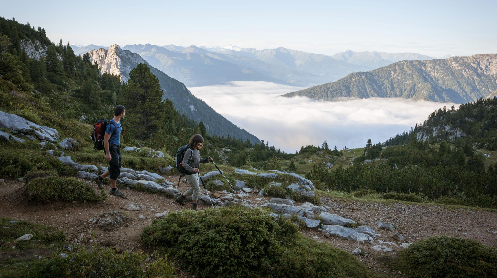
Eagle Walk – Majestic hiking along Tirol's trail

North Alpine Trail 01 – Hike across Austria in 49 days

E5 – Hiking across the Alps
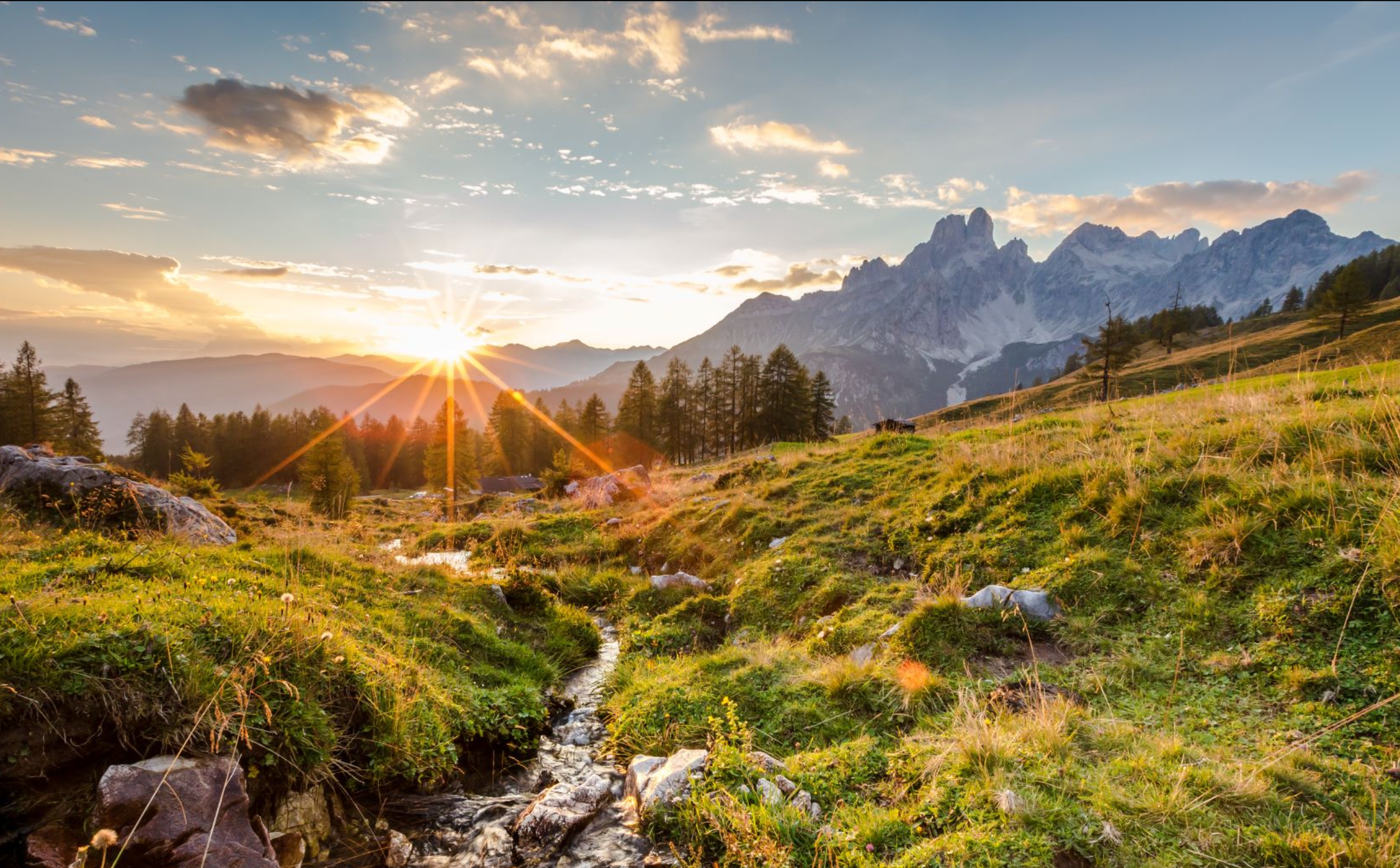
Let yourself be moved – ‘power places’ in Austria's Hiking Villages

Happy moments on long-distance hikes – hiking summer of your life
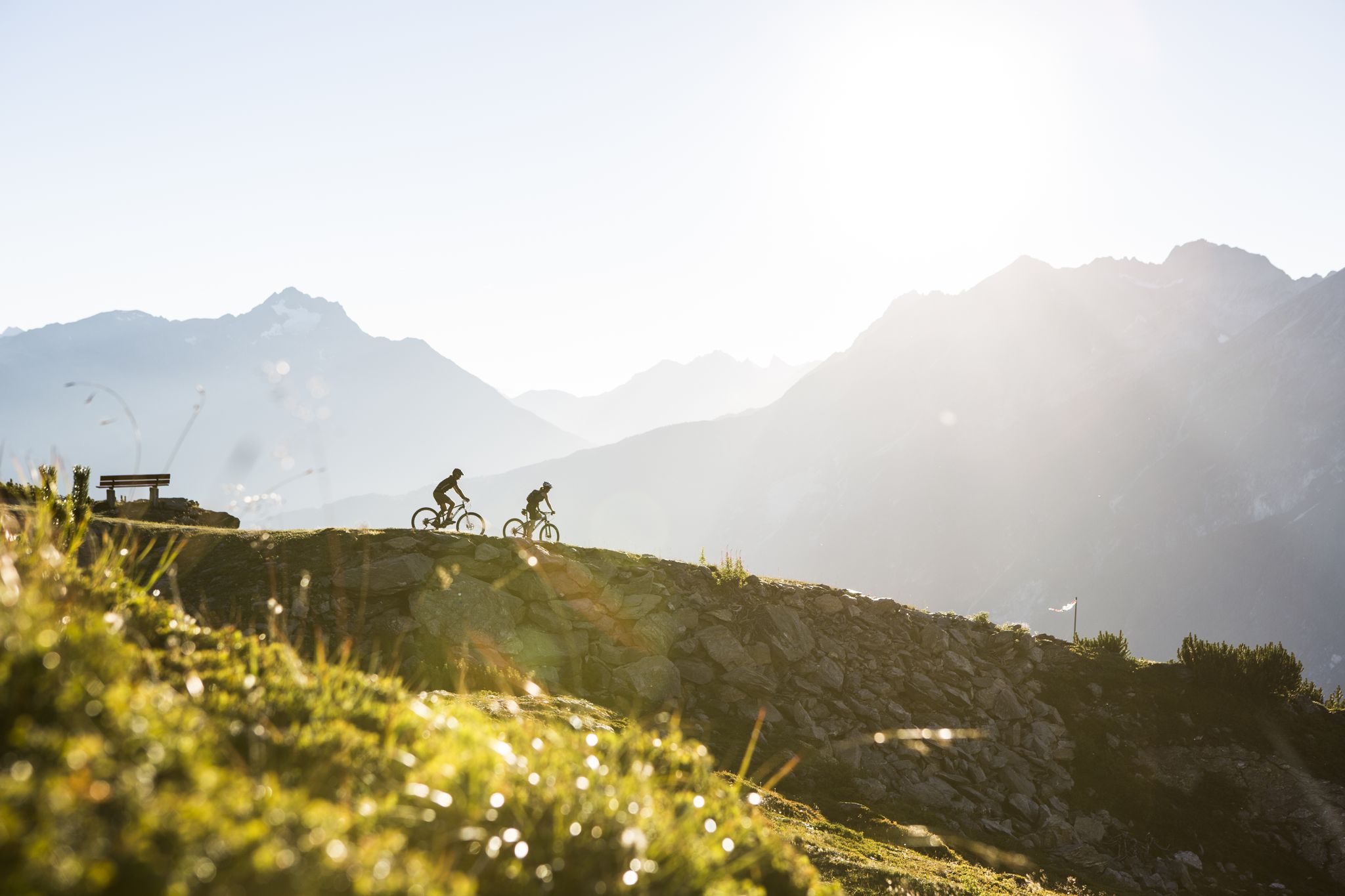
Discover the TirolWest Holiday Region by MTB
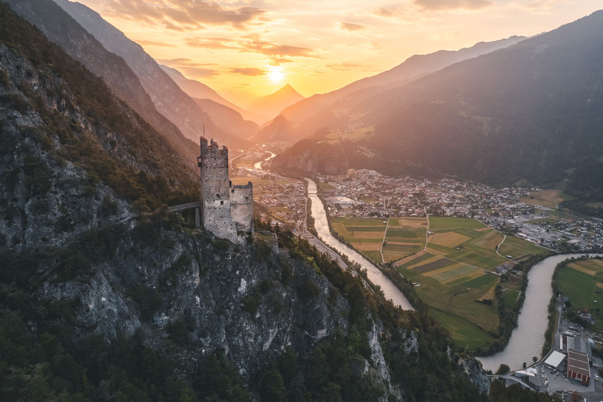
Tyrolean Castle Trail – a journey back to the Middle Ages
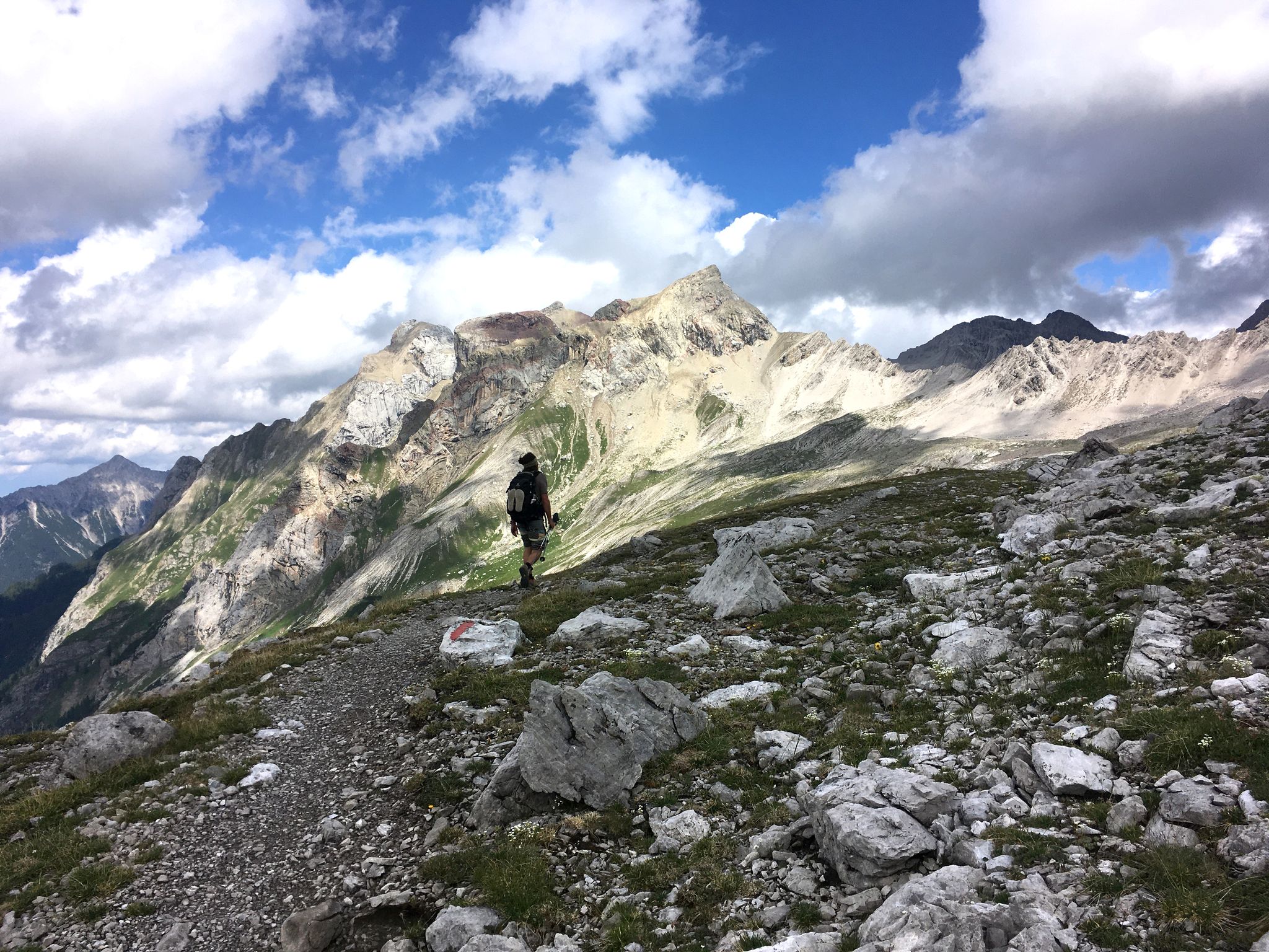
A little scree underfoot — Lechtaler High Trail in Austria
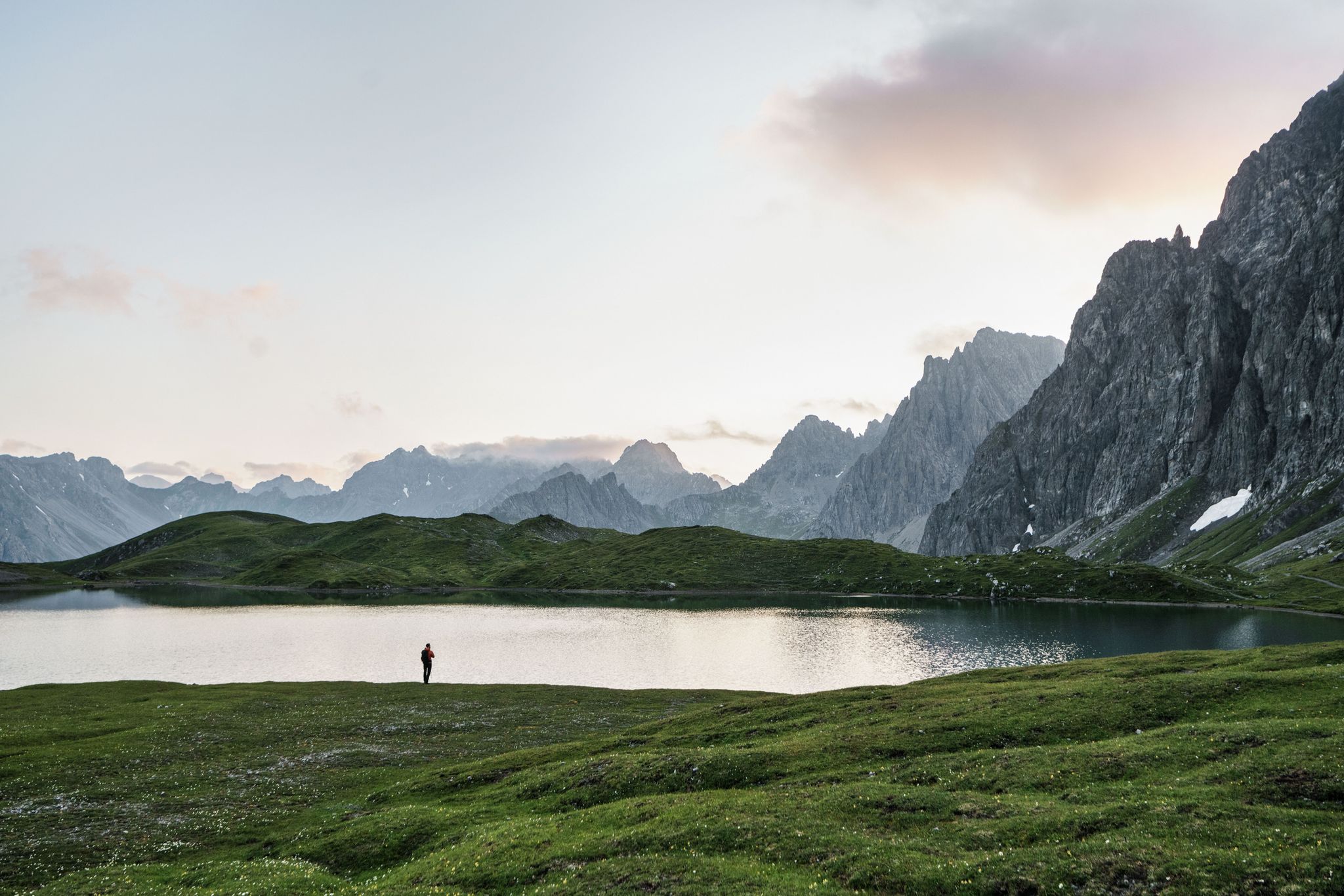
Hiking for human dynamos on the Lechtal Mountain Trail – Great Walks
Other adventures around Zams


Tips from the Community

At Landeck-Zams station, the journey doesn't just begin on the train; it starts right on the platform. As an important hub in the western Oberinntal valley, the station connects Tyrol with Vienna, Bregenz, Zurich, and many other destinations. Regional trains and the S-Bahn Tirol bring travelers from Innsbruck, while Railjet and Westbahn trains provide long-distance connections. Those wishing to continue their journey into the mountains will find buses, taxis, and shuttles directly at the station forecourt. From here, connections lead to the TirolWest holiday region, as well as to Kaunertal, the Reschen Pass, Serfaus-Fiss-Ladis, Paznaun, and the Arlberg. A good station maxim is therefore: whoever gets off at the right hub is already a big step closer to their holiday. With ÖBB Rail&Drive, there is also a flexible option to cover the last stretch individually. This makes Landeck-Zams a practical starting point for alpine adventures.
2
0

High above the Inn, Landeck Castle sits enthroned.
2
0

A beautiful cycle path along the Inn River. Don't forget to make a detour to the town of Landeck.
3
0


On asphalted cycle paths you roll through the beautiful nature 🙂👍
3
1

A very beautiful gorge with a legendary backdrop. You can also visit a remarkable hydroelectric power station.
0
0

always worth a photo when crossing the river on the cycle paths
2
0

With a total length of almost 500 kilometers, the Inn Cycle Path is one of the longest cycle paths in Europe. There are few inclines along the entire route. This means that the Inn Cycle Path is fun for the whole family. From the train station in Landeck, the “Inn Valley Cycle Path” leads through very different landscapes.
2
0
Frequently Asked Questions
How many running routes are available in Zams?
Zams offers a wide selection of running routes, with over 100 options available. These range from easy, leisurely runs to more challenging trails with significant elevation changes.
What kind of terrain can I expect on jogging routes in Zams?
The jogging routes in Zams feature diverse terrain. You'll find everything from mostly paved surfaces suitable for beginners to well-developed forest paths and riverside running trails along the Inn River. More challenging routes can involve significant elevation gains and require sure-footedness.
Are there running routes suitable for beginners in Zams?
Yes, Zams has several running routes perfect for beginners. There are 8 easy routes, often on mostly paved surfaces, that offer a gentler introduction to jogging in the area. These typically cover shorter distances with less elevation gain.
Can I find running routes that pass by natural attractions like gorges or ponds?
Absolutely. Some routes lead to tranquil areas like the Tramser Weiher (Tramser Pond), a local recreation area. The "Talrunde Night" route, for example, passes directly by the Zammer Lochputz, one of Tyrol's most beautiful wild water gorges, offering stunning natural insights.
Are there family-friendly jogging options in Zams?
Yes, Zams provides routes suitable for families. Many of the easier, mostly paved paths are ideal for a leisurely run or walk with children. These routes often have minimal elevation gain, making them accessible for various fitness levels.
What are some interesting landmarks or sights to see along the running routes?
Beyond the stunning Inn Valley views, you can explore several interesting landmarks. Some routes offer insights into natural formations like the Blue Grotto in Rosengarten Gorge or the Tuff Grotto. You might also encounter unique features like the Rock Tunnel or the Tunnel with Skylight (Kolibri Hole).
Are there circular running routes in Zams?
Yes, Zams offers several excellent circular running routes. A popular option is the Gerber Bridge (Gerberbrücke) – Marketplace Landeck loop from Zams, which is a moderate 6.6-mile path. The "Panorama-Talrunde" is also highlighted for its expansive valley views on a circuit.
How can I reach the running trails in Zams using public transport?
Many running routes in Zams are accessible via public transport, particularly those connected to Landeck. The Landeck-Zams railway station – Marketplace Landeck loop from Landeck is a good example, starting directly from the train station, making it convenient for those arriving by rail.
What do other runners enjoy most about jogging in Zams?
The komoot community highly rates jogging in Zams, with an average score of 4.39 stars from over 130 reviews. Runners frequently praise the diverse landscapes, stunning valley views, and the variety of trails that cater to all fitness levels, from gentle forest paths to challenging mountain routes.
Are there any running routes with significant elevation gain for a challenging workout?
For those seeking a challenge, Zams has 39 difficult running routes with notable elevation gains. Some paths extend over 10 miles with more than 1,000 feet of elevation, requiring good fitness and sturdy shoes. An example is the View of the Inn Valley – Marketplace Landeck loop from Landeck, which is a difficult 5.8-mile trail with over 300 feet of elevation.
Are dogs allowed on the running trails in Zams?
Generally, dogs are welcome on many outdoor trails in the TirolWest region, including Zams. However, it's always advisable to keep dogs on a leash, especially in nature protection areas or near livestock, and to check for any specific local signage or regulations on individual routes.
Are there any running routes that offer views of the Venetbahn cable car area?
Yes, some training rounds in Zams lead towards the Venetbahn cable car. For instance, the Venetbahn Valley Station – View of the Inn Valley loop from Landeck is a 4.7-mile trail that offers varied terrain and views in the vicinity of the cable car's valley station.
Most popular attractions around Zams

Get inspired with the komoot mobile app


Explore more
Browse the best Running Trails & Routes in other regions.
