The best running trails around Navis
4.4
(115)
3,287
runners
106
runs
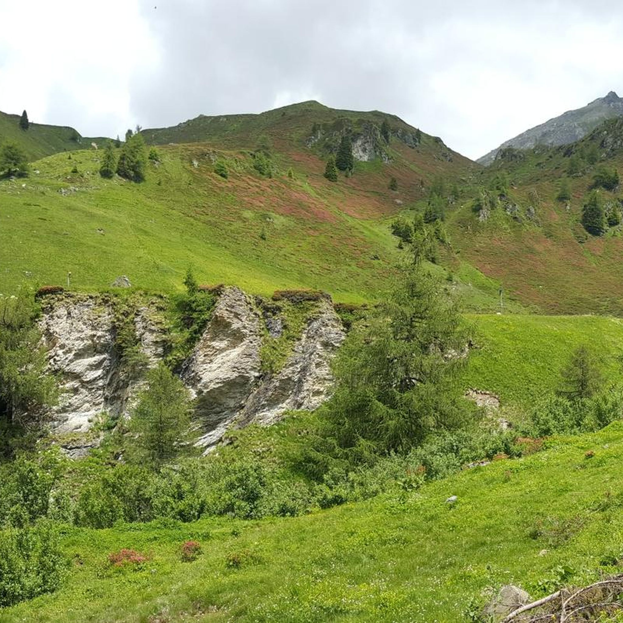
Jogging around Navis offers routes through the scenic Navis Valley, characterized by its alpine landscape, dense forests, and the Navisbach river. The region features a mix of valley floor paths and ascents into higher terrain, providing varied running experiences. Trails often follow river courses or wind through coniferous woodlands, with some routes offering views of the surrounding peaks. The terrain ranges from relatively flat sections suitable for easy runs to more challenging inclines.
Best jogging routes around Navis
- The most…
Last updated: July 1, 2026
4.5
(2)
27
runners
3.79km
00:24
30m
30m
Easy run. Great for any fitness level. Mostly paved surfaces. Suitable for all skill levels.
14
runners
16.1km
01:48
390m
390m
Hard run. Very good fitness required. Mostly paved surfaces. Suitable for all skill levels.

Sign up for free
8
runners
5.48km
00:38
110m
110m
Moderate run. Good fitness required. Mostly paved surfaces. Suitable for all skill levels.
5.0
(1)
7
runners
Hard run. Very good fitness required. Mostly paved surfaces. Suitable for all skill levels.
36
runners
Hard run. Very good fitness required. Mostly paved surfaces. Suitable for all skill levels.
Get access to more routes and recommendations from other explorers.
Sign up for free
Already have an account?
Our route recommendations are based on thousands of hikes, rides, and runs completed by other people on komoot.
Start today with a free account
Your next adventure awaits.
Login or Signup
Popular around Navis
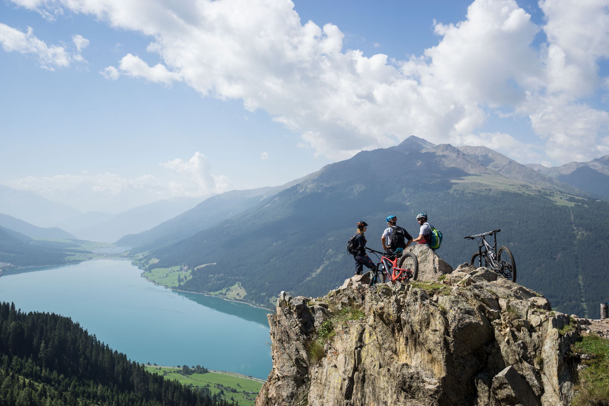
High into the Tyrolean mountain world – mountain biking in Tyrol
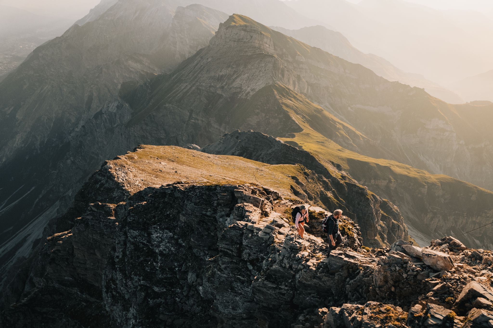
Pedals and Paths – Beautiful E-Bike & Hike Tours in the Wipptal
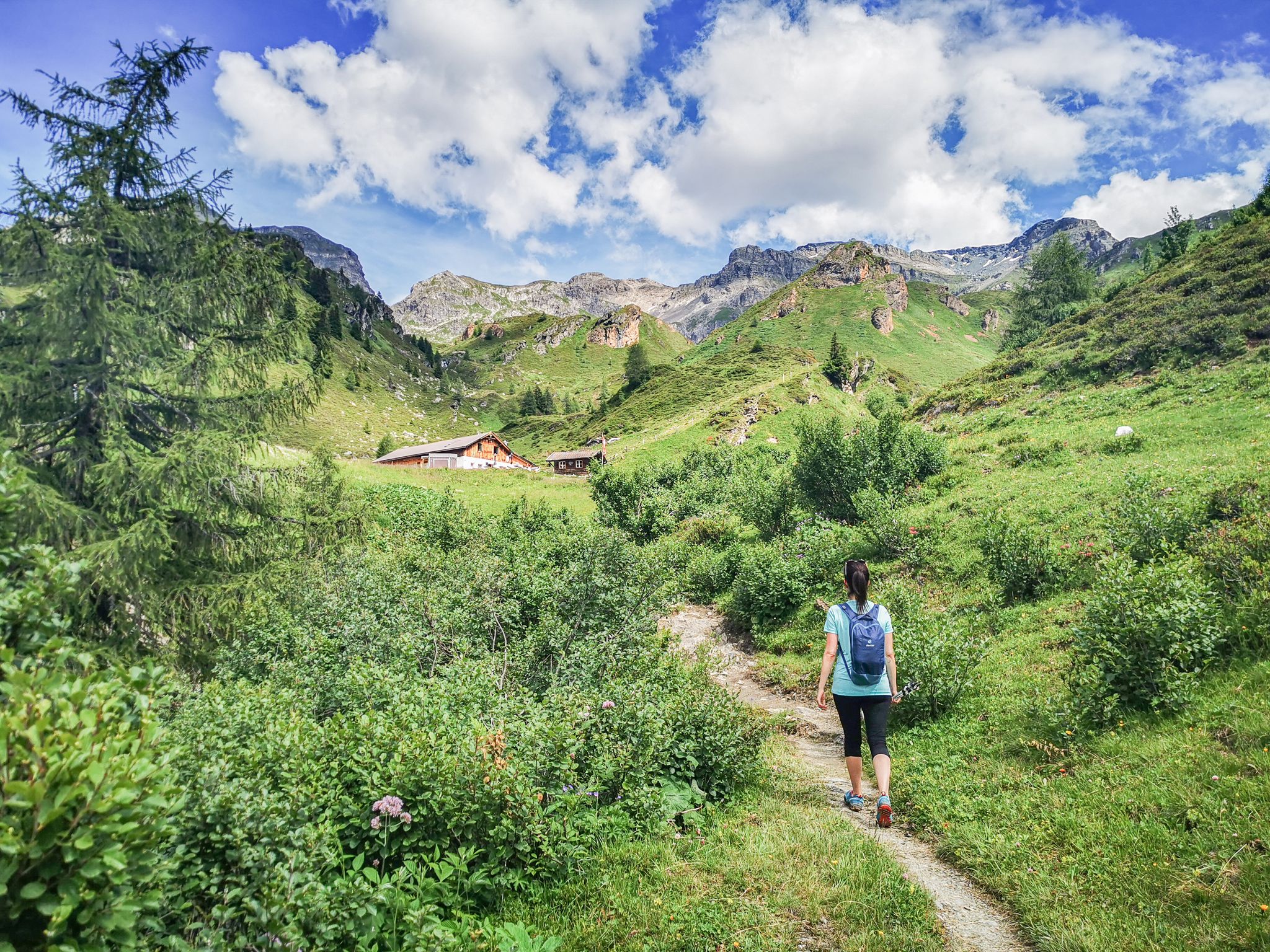
5 culinary alpine and hut hikes in Austria's Wipptal
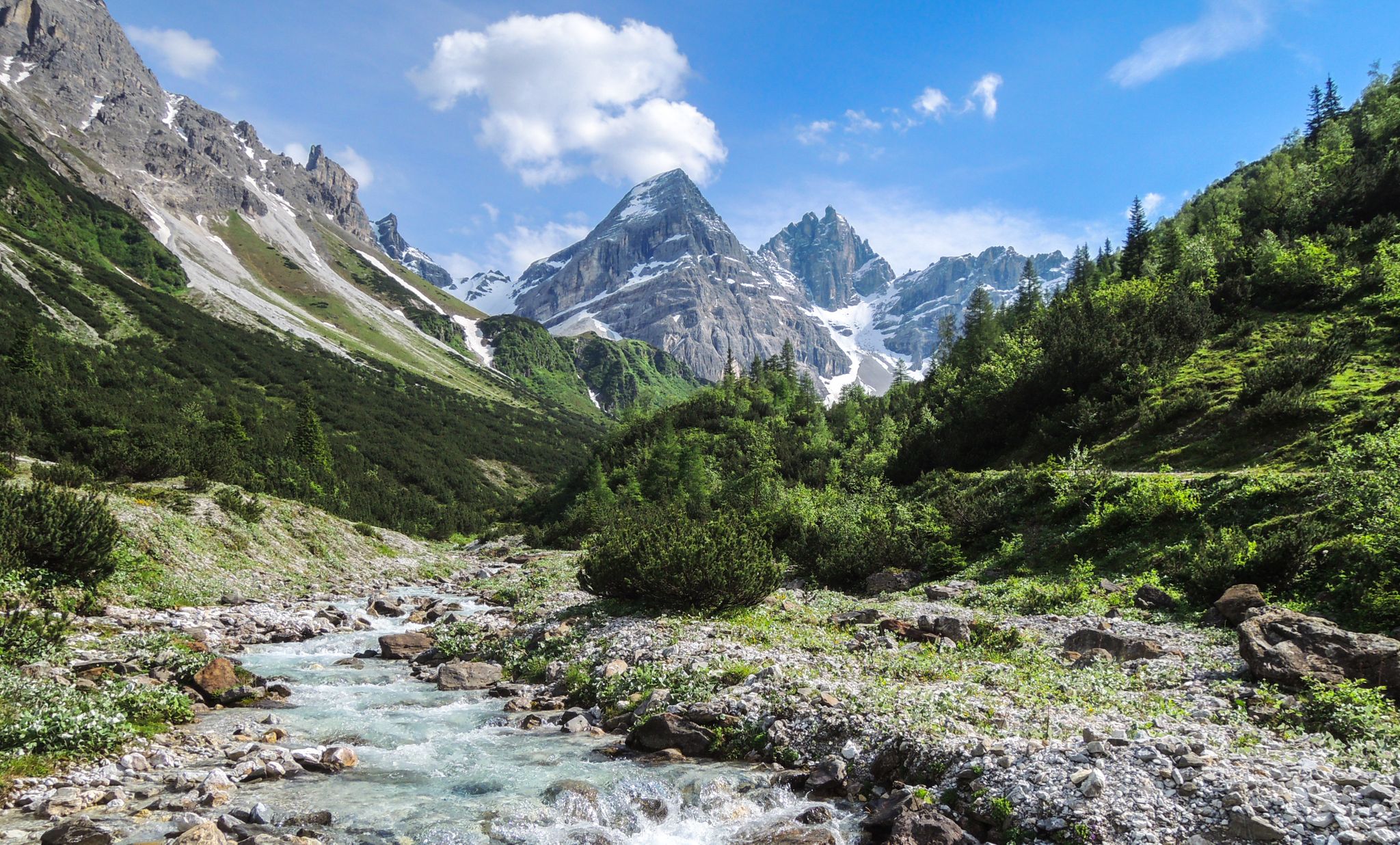
A journey of discovery in Tyrol – hidden places in the Wipptal Valley
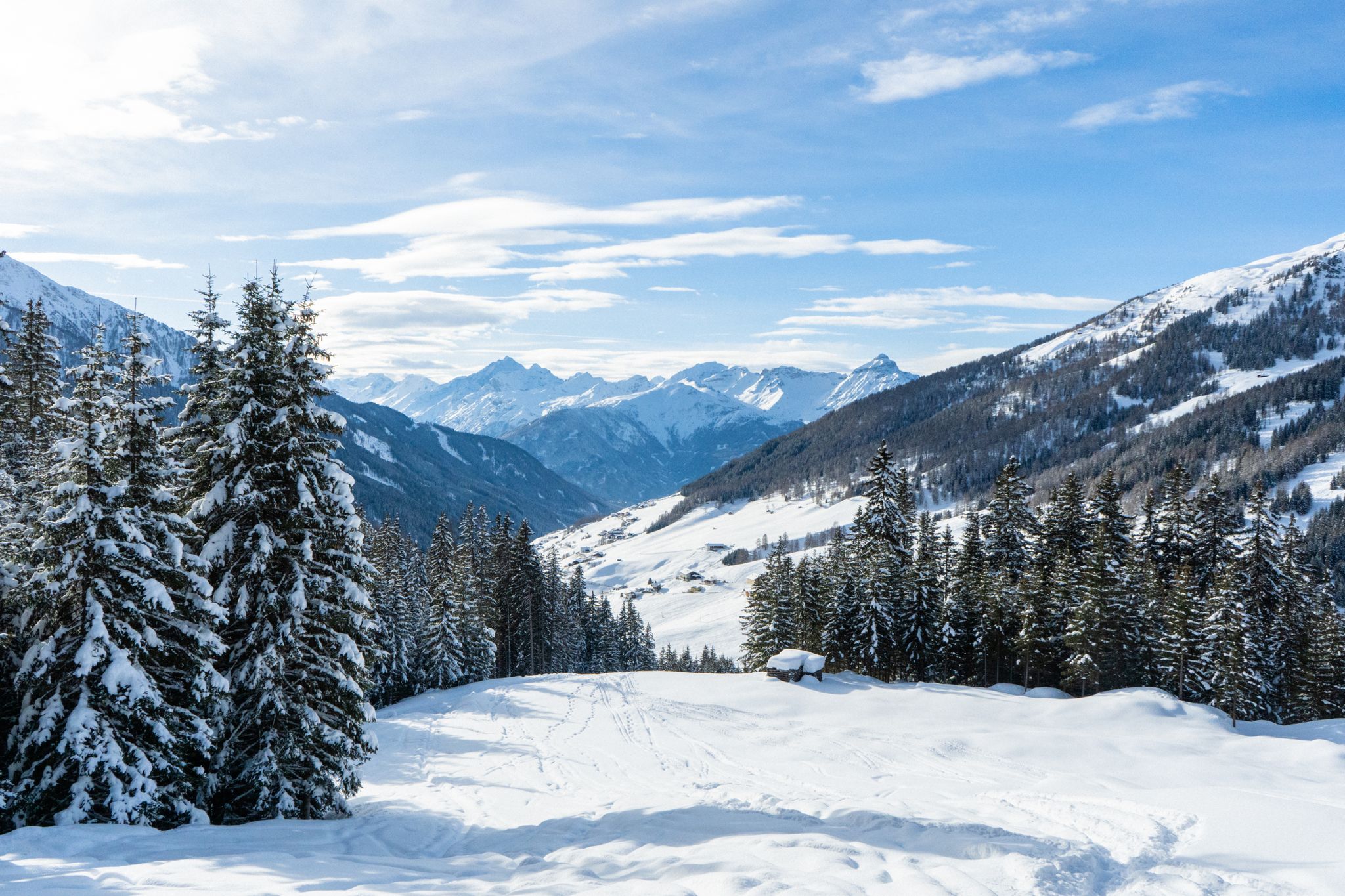
Your winter in Austria’s Wipptal Valley: 10 tips for adventuring in the snow

Big and small adventures in the mountains of Tyrol
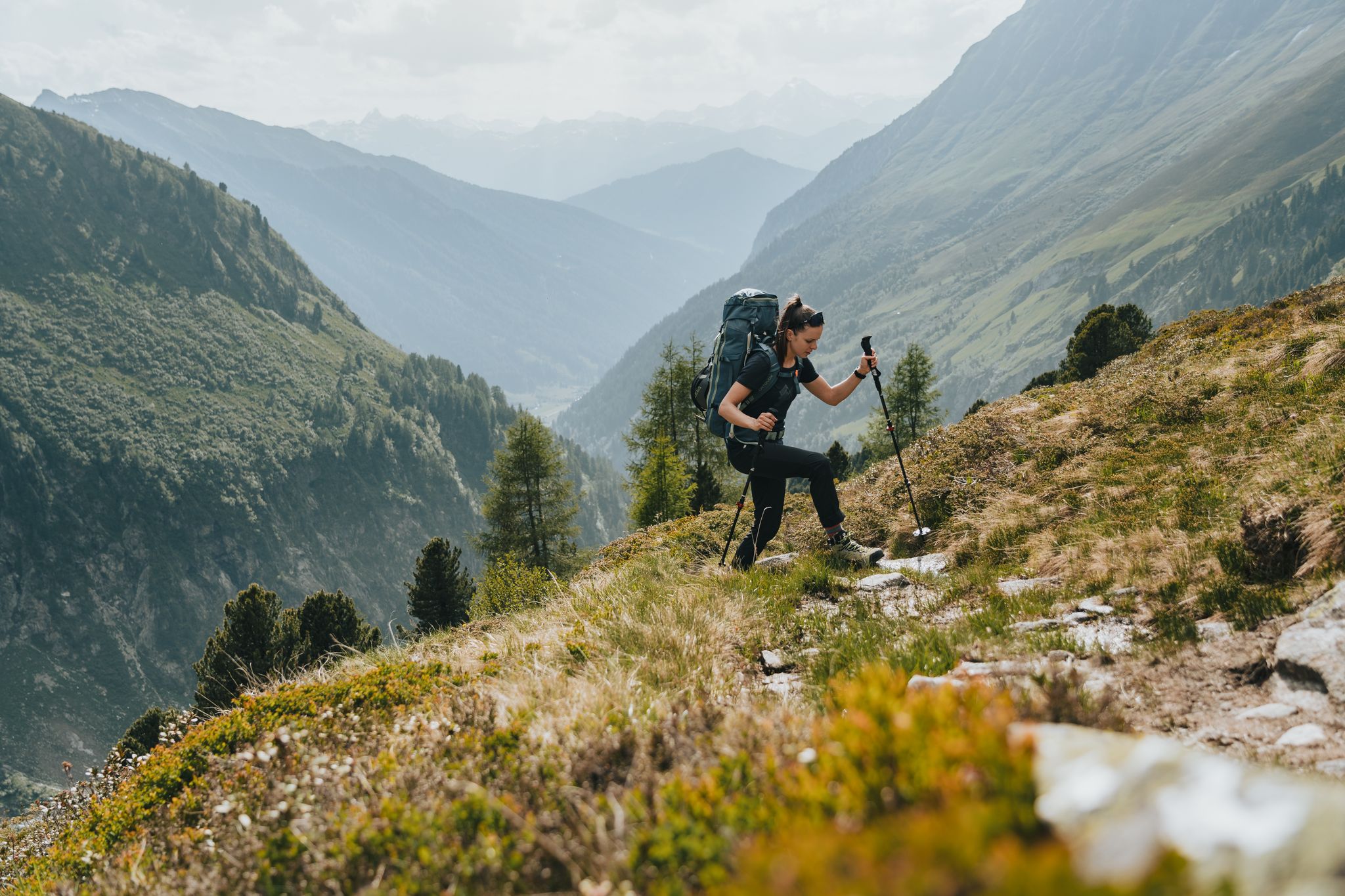
Fünf kulinarische Alm- und Hüttenwanderungen im Wipptal
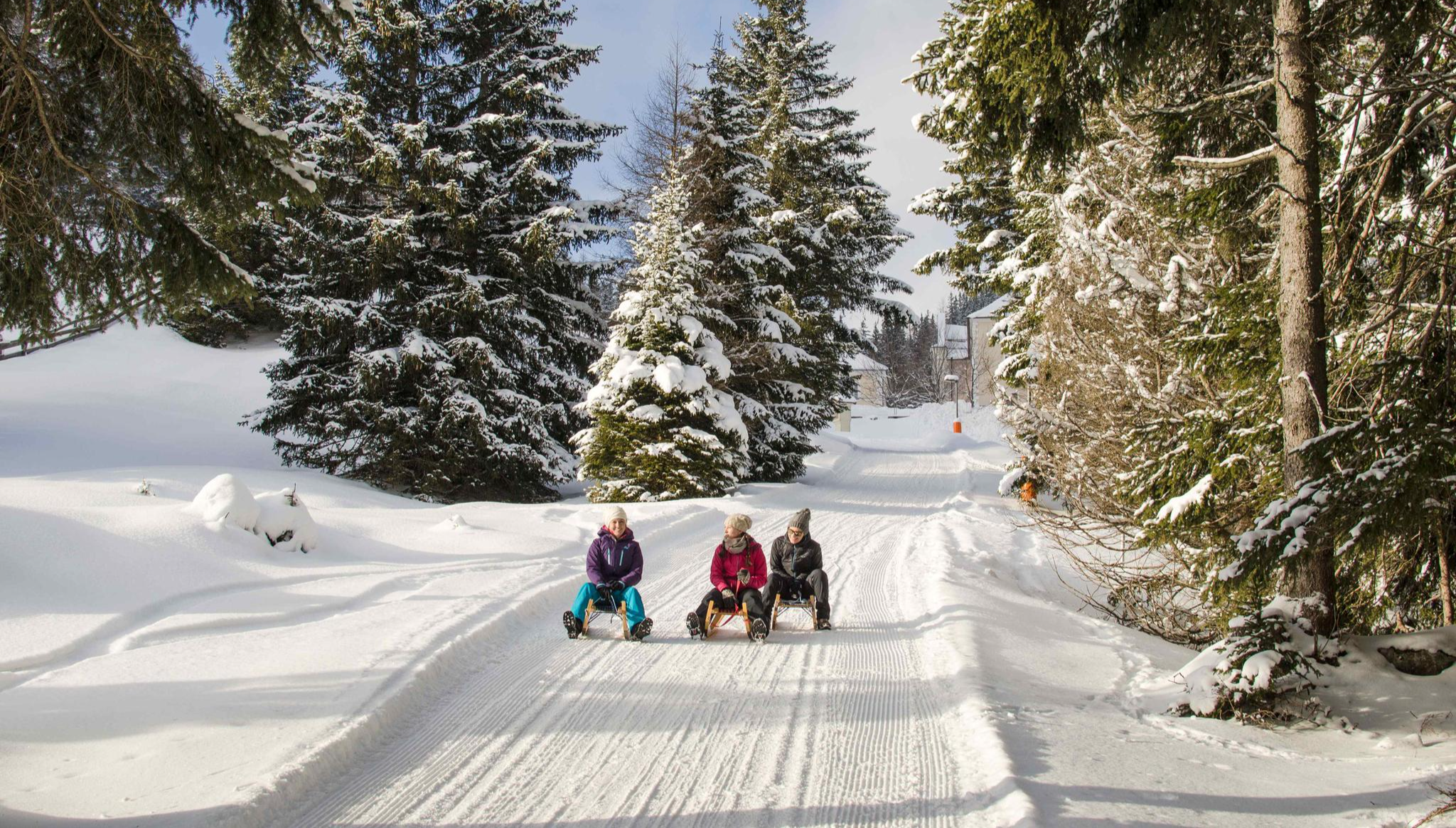
Rodelspaß und urige Hütten – Winterzauber Wipptal
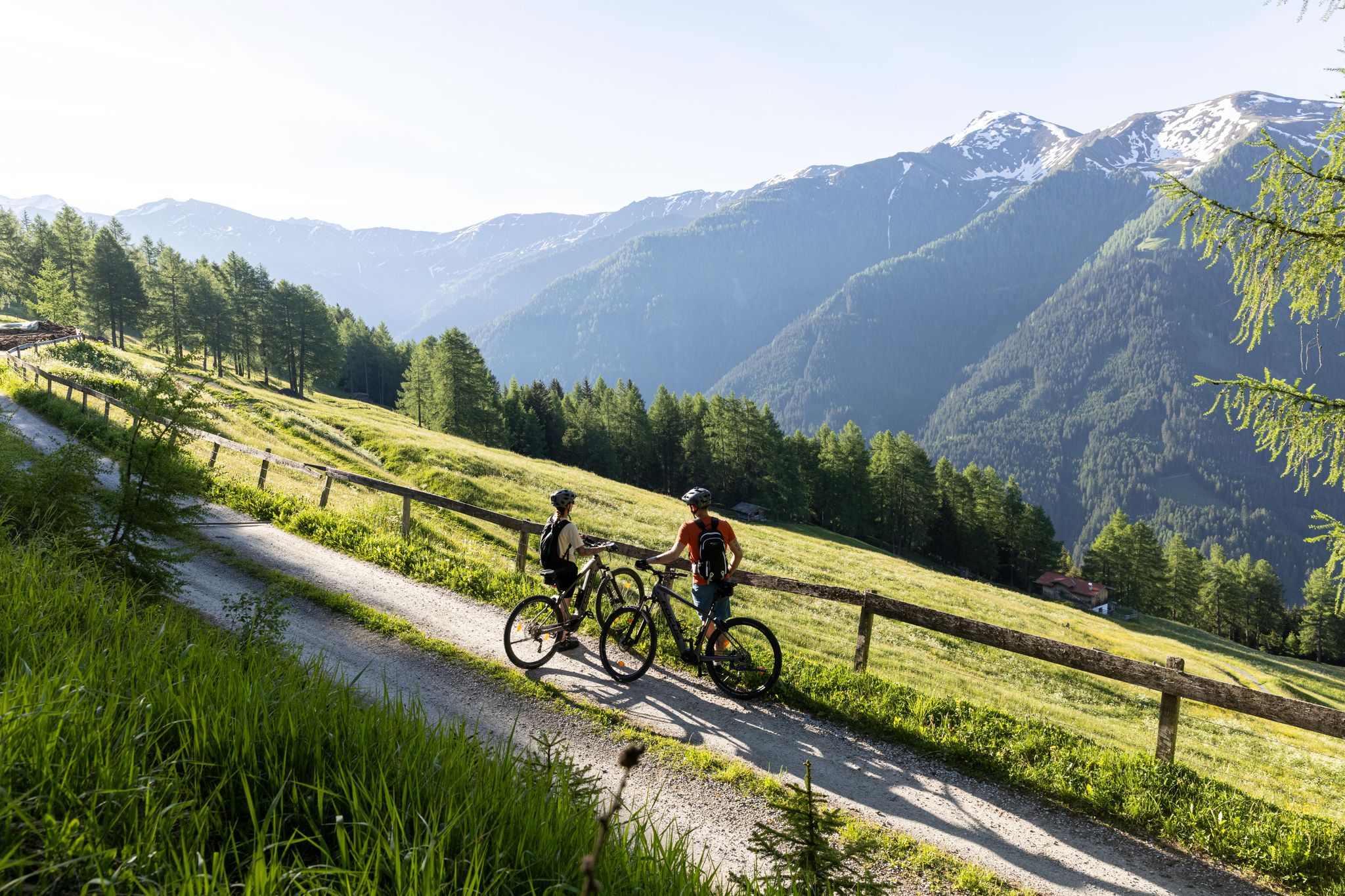
Genuss auf zwei Rädern – (kulinarisches) E-Biken in Tirol
Cycling around Navis
Other adventures around Navis


Tips from the Community

A nice place to eat well and relax.
0
0

A fantastic landscape can be explored here in a relaxed manner.
2
0


The asphalted meadow path leads between Steinach am Brenner and Trins along the Gschnitzbach. It is easy to ride. There is a forest path on the other side of the stream.
1
0
Schneeberg Castle was first mentioned in documents in 1297. Parts of the defensive wall and the striking round tower still exist from this period. In 1571, the medieval complex was converted into a Renaissance castle. A devastating fire destroyed it in 1771, and the ruins were then converted into a castle-like residence. Today it is privately owned and can only be viewed from the outside.
2
0

Beautiful hiking area, easy tours also possible
1
0

Very nicely located inn with good bourgeois fare and very good food. More information: https://www.gasthof-feuerstein.at
1
0

Frequently Asked Questions
How many running routes are available around Navis?
The Navis region offers over 100 running routes, catering to various fitness levels. You'll find a diverse network of trails, from easy valley paths to more challenging alpine ascents.
Are there easy jogging routes for beginners in Navis?
Yes, Navis has several easy jogging routes perfect for beginners. For instance, the Running loop from Matrei am Brenner is an accessible 2.4-mile (3.8 km) trail that takes about 24 minutes to complete, offering a gentle introduction to the area's scenery.
What are some challenging long-distance running trails in Navis?
For those seeking a challenge, the Wipptal loop from Matrei am Brenner is a difficult 10.0-mile (16.1 km) path that explores the wider Wipptal valley. Another demanding option is the Genusswirtschaft Pumafalle – Gschnitztal hiking trail loop from Steinach am Brenner, which spans over 18 miles (29 km).
Can I find circular running routes in the Navis area?
Absolutely. Many of the running routes in Navis are designed as loops, allowing you to start and finish in the same location. Examples include the popular Running loop from Matrei am Brenner and the Running loop from Steinach am Brenner.
What kind of scenery can I expect on the jogging trails around Navis?
The jogging trails around Navis offer a mix of scenic landscapes. You'll run through the picturesque Navis Valley, characterized by alpine scenery, dense coniferous forests, and alongside the Navisbach river. Some routes also provide views of surrounding peaks and lead through charming local surroundings.
Are there any waterfalls to see along the running paths in Navis?
While not directly on every running path, the Navis region is close to several beautiful waterfalls. You might consider exploring areas near highlights like Schleier Waterfall or Weitental Falls, which are popular attractions in the wider area.
What do other runners say about the trails in Navis?
The running routes in Navis are highly regarded by the komoot community, boasting an average rating of 4.4 stars from over 100 reviews. Runners frequently praise the varied terrain, from quiet valley paths to challenging ascents, and the beautiful natural surroundings.
Are the running routes in Navis suitable for families?
Yes, Navis offers routes suitable for families, especially the easier, flatter paths along the valley floor. These trails provide a pleasant environment for a family run or walk, allowing everyone to enjoy the natural beauty at a comfortable pace.
Can I bring my dog on the running trails in Navis?
Many trails in the Navis region are dog-friendly, allowing you to enjoy a run with your canine companion. However, it's always advisable to keep dogs on a leash, especially in areas with wildlife or near livestock, and to check local regulations for specific routes.
Are there any routes that offer views of mountain peaks?
Yes, some running routes, particularly those involving ascents into higher terrain, offer stunning views of the surrounding mountain peaks. While not directly on a running route, nearby highlights like Serles Summit and Patscherkofel Summit indicate the kind of alpine vistas you can expect in the broader region.
What's the best time of year to go jogging in Navis?
The best time to go jogging in Navis largely depends on your preference. Spring and autumn offer pleasant temperatures and vibrant scenery. Summer is also popular, though some higher trails might be warmer. Winter running is possible, especially on cleared valley paths, offering a unique snowy landscape experience.
Are there any hidden gem running routes in Navis that are less known?
While specific 'hidden gems' are often discovered by local exploration, routes like the Peeralm loop from Navis might offer a more secluded experience. This route involves a significant ascent, leading you away from the more frequented valley paths into quieter alpine surroundings.
Most popular attractions around Navis

Get inspired with the komoot mobile app


Explore more
Browse the best Running Trails & Routes in other regions.
