The best running trails around Kaltenbach
4.5
(22)
930
runners
24
runs
Jogging routes around Kaltenbach are set within the diverse landscapes of the Zillertal valley. The valley floor, shaped by the Ziller River, provides flat and accessible paths suitable for easy runs through villages and alongside the Zillertal Golf Course. Adjacent to the Zillertal Alps Nature Park, the area also offers challenging alpine environments for trail running with significant elevation gains. This combination of river valleys and mountain terrain caters to various fitness levels.
Best jogging routes around Kaltenbach
- The most…
Last updated: September 30, 2026
4.7
(9)
253
runners
9.13km
00:58
30m
30m
Moderate run. Good fitness required. Mostly paved surfaces. Suitable for all skill levels.
5.0
(1)
111
runners
Moderate run. Good fitness required. Mostly paved surfaces. Suitable for all skill levels.

4.5
(4)
246
runners
Moderate run. Good fitness required. Mostly paved surfaces. Suitable for all skill levels.
3.0
(1)
48
runners
6.69km
00:42
10m
10m
Moderate run. Good fitness required. Mostly paved surfaces. Suitable for all skill levels.
42
runners
Moderate run. Good fitness required. Mostly paved surfaces. Suitable for all skill levels.
Get access to more routes and recommendations from other explorers.
Already have an account?
Our route recommendations are based on thousands of hikes, rides, and runs completed by other people on komoot.
Start today with a free account
Your next adventure awaits.
Popular around Kaltenbach
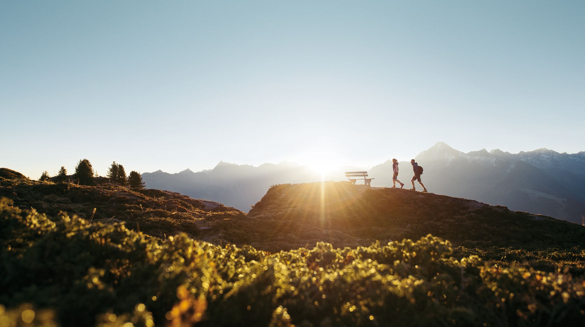
A peaceful haven in the mountains – hiking in Zillertal
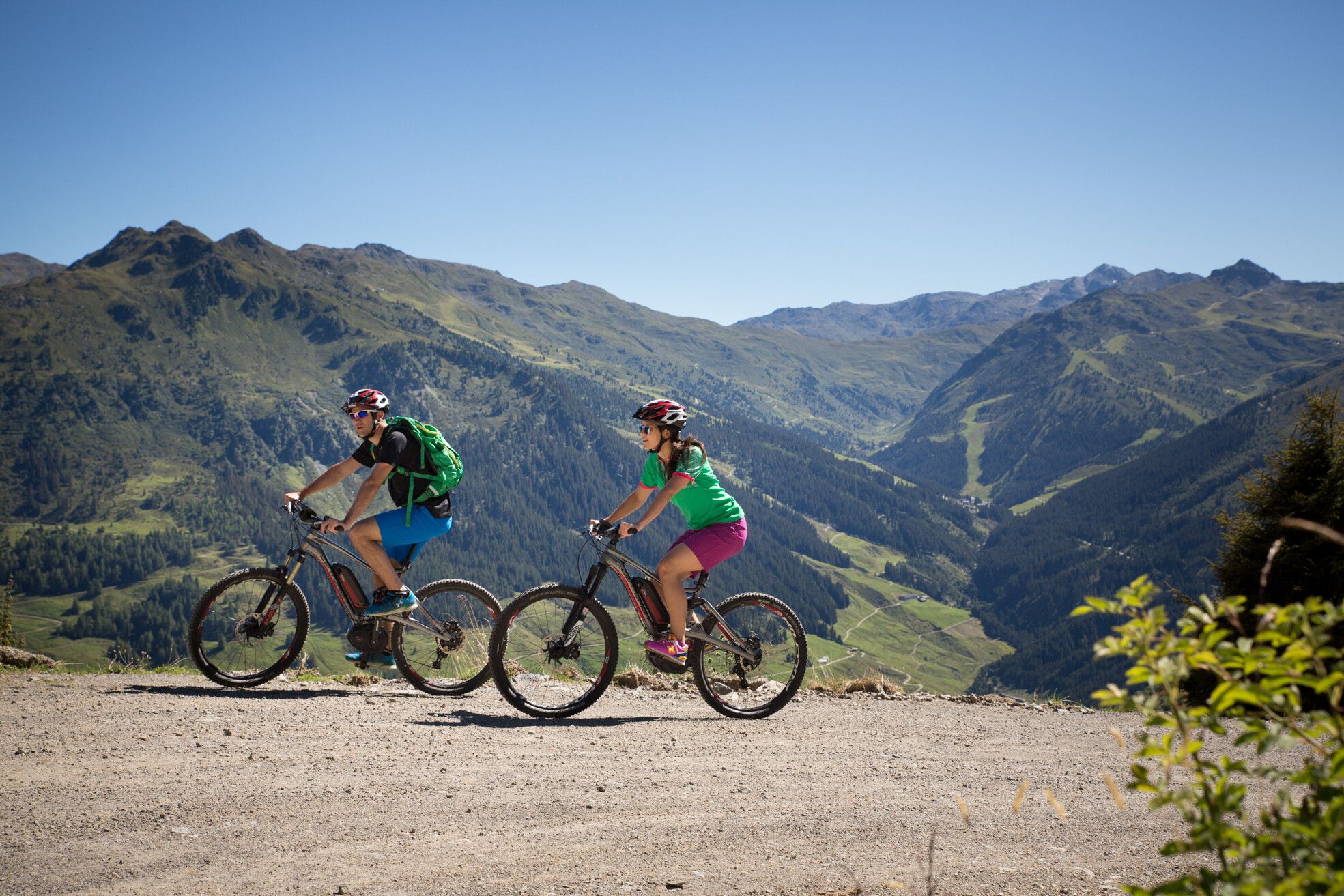
MTBing in Austria’s Zillertal Valley – explore the Fügen-Kaltenbach region
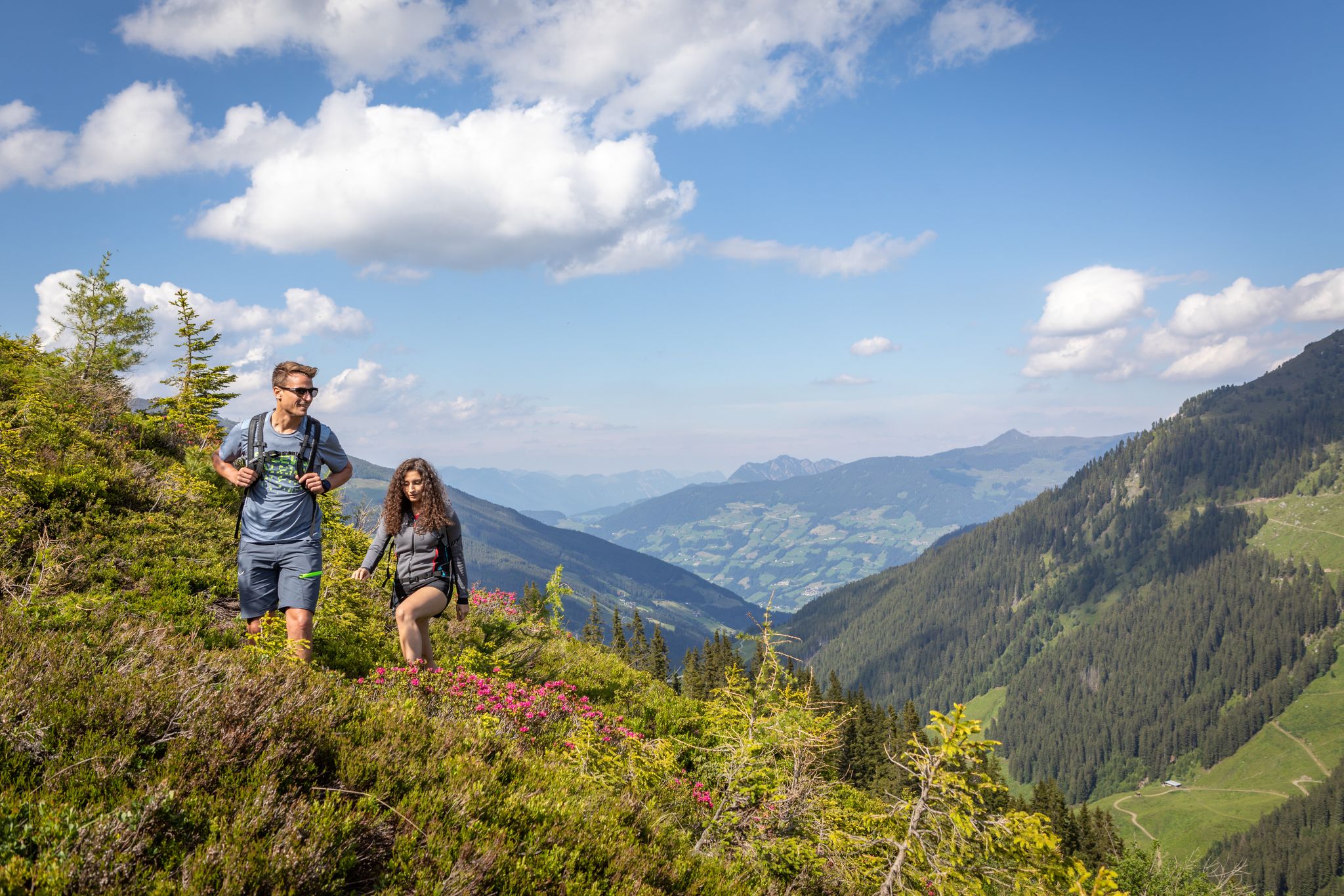
15 hikes in Austria’s Zillertal Valley – exploring the Fügen-Kaltenbach region
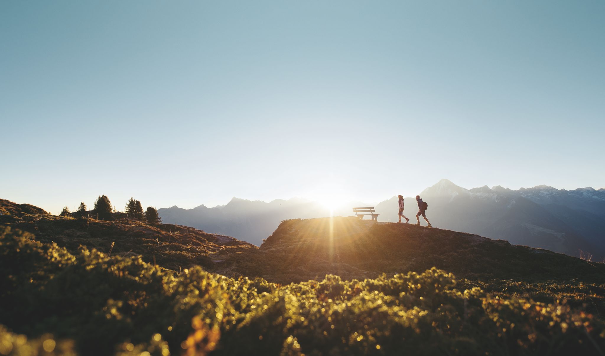
Discover the Zillertal Valley in Austria on eight varied walks
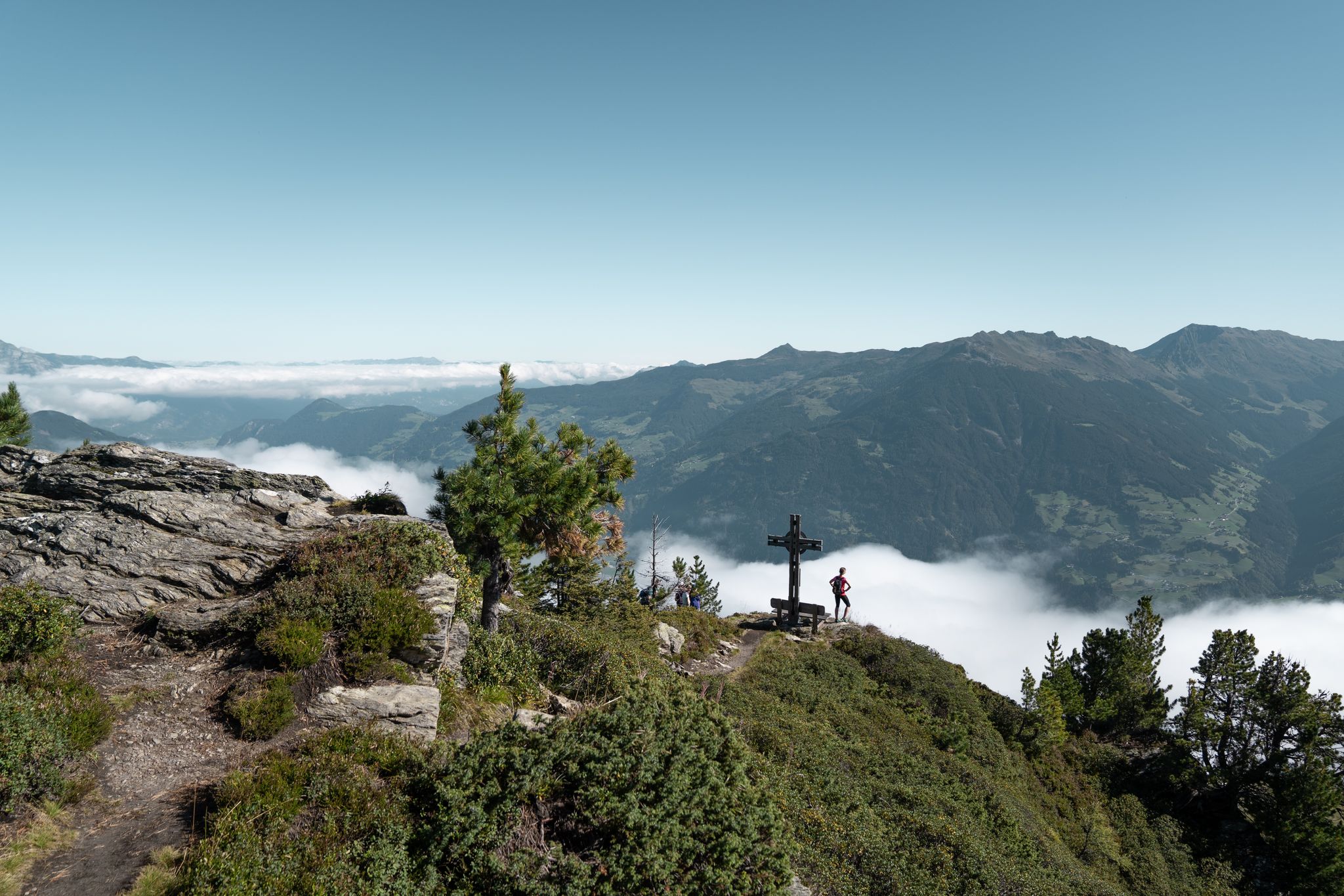
Aussichtsreiche Gipfelwandertouren im Zillertal
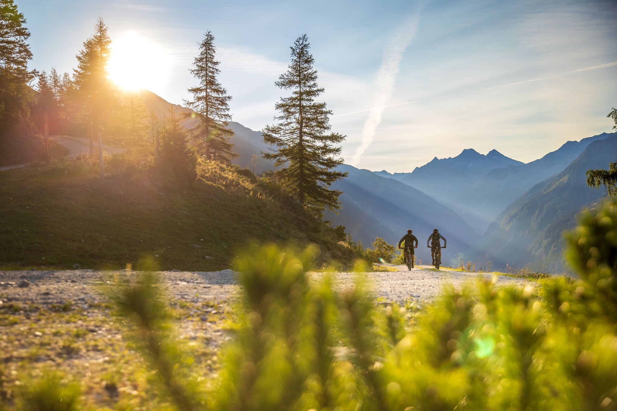
Bike & Hike im Zillertal
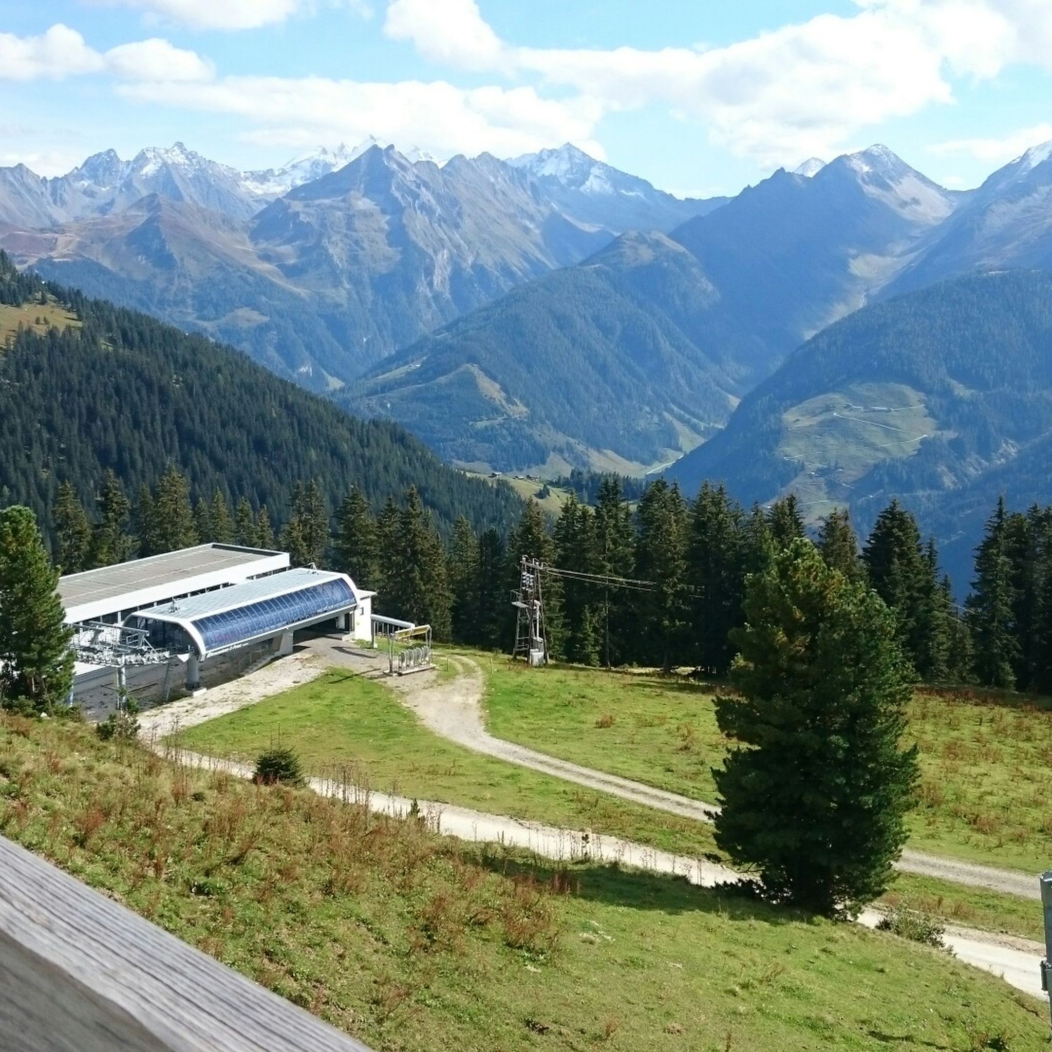
Hiking around Kaltenbach
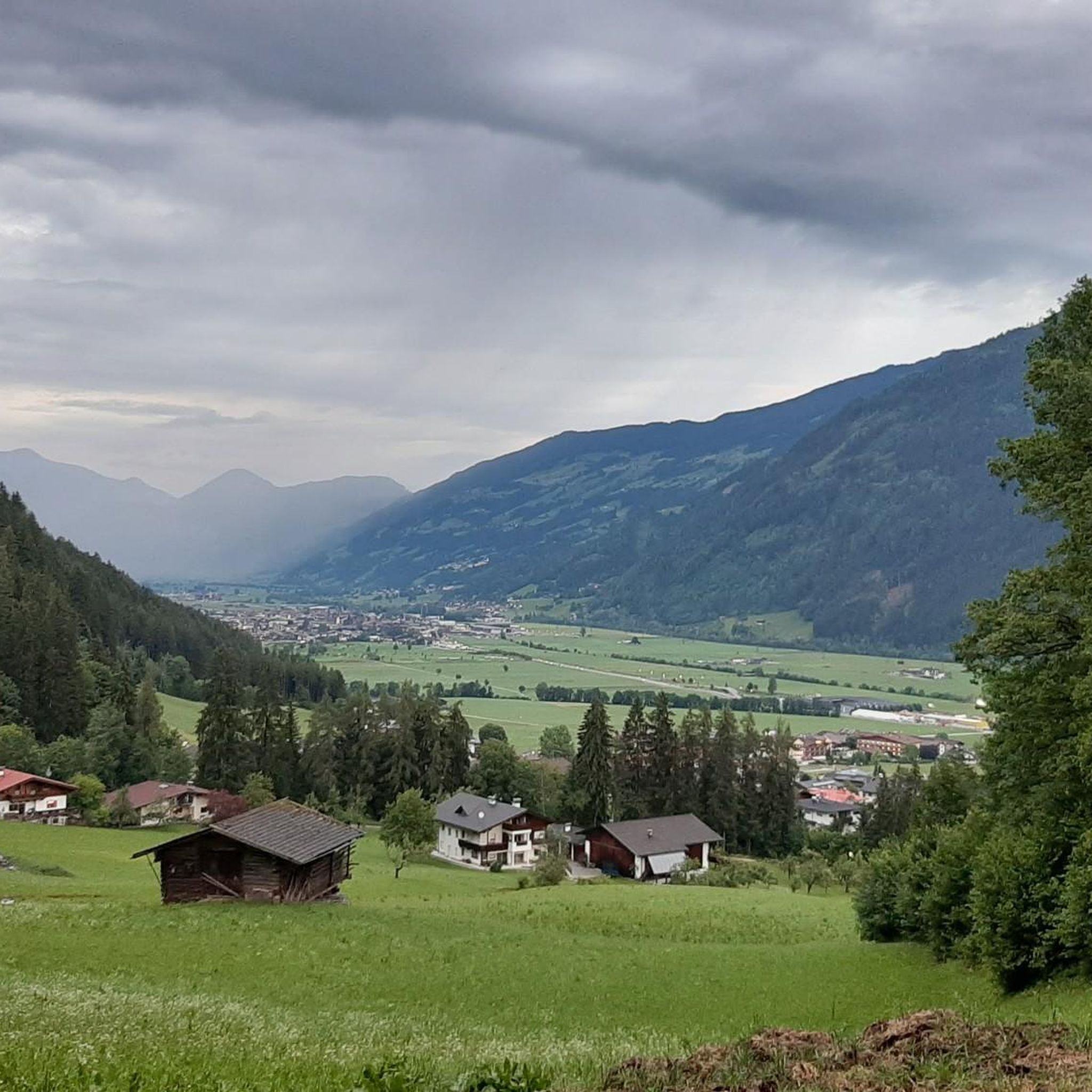
MTB Trails around Kaltenbach
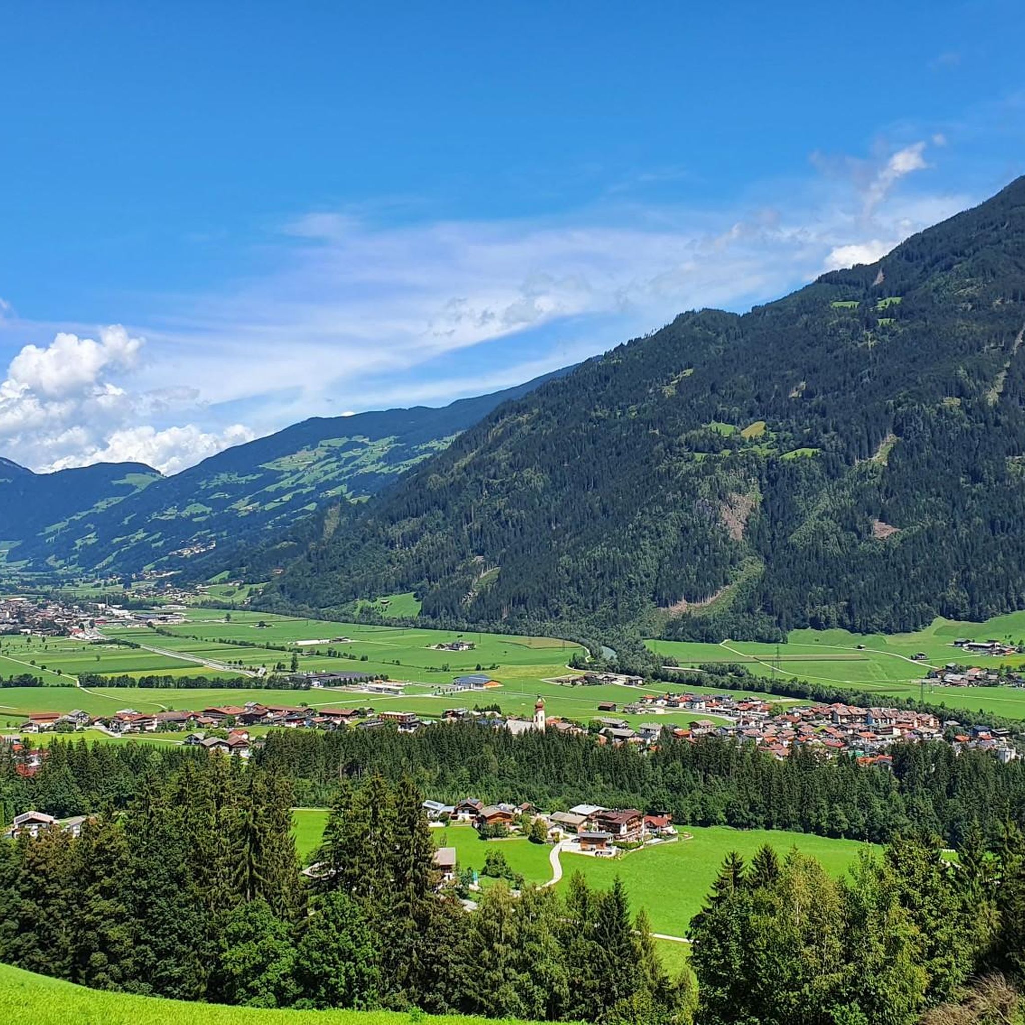
Road Cycling Routes around Kaltenbach
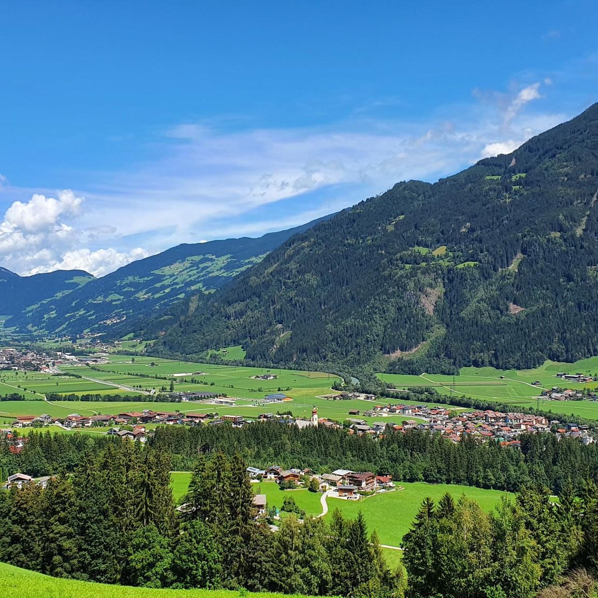
Cycling around Kaltenbach
Other adventures around Kaltenbach


Tips from the Community

Very nice and sunny bike resting place with a great view into the valley towards Kaltenbach, Fügen and all the way into the Inn Valley.
1
0
Very nice and sunny bike rest stop with a great view into the valley towards Kaltenbach, Fügen and all the way into the Inntal.
0
0

Very nice cycle path 👍
0
0

Completely car-free cycling in the Zillertal
1
1


Beautiful wooden bridge with a statue in the middle
1
1
A beautiful church along the sooor
0
0
Frequently Asked Questions
What types of running routes can I find in Kaltenbach?
Kaltenbach offers a diverse range of running routes. You'll find flat, accessible paths along the Ziller River Valley, ideal for easy runs through charming villages and alongside the Zillertal Golf Course. For more challenging experiences, the region provides demanding trail running routes within the Zillertal Alps Nature Park, featuring significant elevation gains and technical passages. Overall, there are around 25 routes detailed on komoot, with a total of 64 marked running routes in the area covering 445 km.
Are there any easy or beginner-friendly jogging routes in Kaltenbach?
Yes, the valley floor routes are perfect for beginners or those seeking an easier run. These paths are mostly paved and suitable for all skill levels, often offering distances up to 3 miles with minimal elevation gain. They wind through picturesque areas like Stumm and Aschau, providing a gentle introduction to running in the Zillertal.
Can I find challenging trail running options near Kaltenbach?
Absolutely. Kaltenbach is a hotspot for trail running, especially with its proximity to the Zillertal Alps Nature Park. You can find demanding routes that require good fitness, sure-footedness, and sturdy shoes, often exceeding 10 miles or 1000 ft of elevation gain. Examples include the high trail Spieljoch-Hochfügen for panoramic views, the challenging Kellerjoch-Tour, and the Gilfert-tour.
What are some popular circular running routes in the area?
Many routes in Kaltenbach are circular, offering varied scenery. A popular choice is the Zillertal Cycle Path loop from Kaltenbach-Stumm im Zillertal, which is 5.8 miles (9.3 km) long. Another favorite is the Ziller River Trail – Zillertal Cycle Path loop from Kaltenbach-Stumm im Zillertal, a moderate 9.1 miles (14.7 km) path combining riverside trails with sections of the cycle path.
What kind of natural features or landmarks can I see while running in Kaltenbach?
Jogging in Kaltenbach offers views of diverse natural beauty and cultural landmarks. You can run alongside the scenic Ziller River, through orchards vibrant with cherry blossoms in spring, or enjoy the 'yellow sea of flowers' across the valley floor. Routes can also lead you to cultural sights like the beautiful St. Pankraz Church, the Marienkapelle Kaltenbach, or the picturesque Kaltenbach Waterfall. For stunning alpine vistas, some trails offer views towards the Spieljoch Summit or the vast Zillertal Valley itself.
Are there any running routes that incorporate the Zillertal Cycle Path?
Yes, several popular running routes utilize sections of the Zillertal Cycle Path. For instance, the Zillertal Cycle Path loop from Kaltenbach-Stumm im Zillertal is a great option. Another is the Ziller River Cycle Path – Back of the Zillertal Valley loop from Kaltenbach-Stumm im Zillertal, which offers a pleasant 6.4 miles (10.3 km) run through the valley.
What do other runners say about the trails in Kaltenbach?
The running routes in Kaltenbach are highly regarded by the komoot community, holding an average score of 4.5 stars from over 15 reviews. More than 800 runners have used komoot to explore the varied terrain, often praising the well-maintained paths and the stunning natural scenery, from the peaceful valley floor to the challenging mountain trails.
When is the best time of year to go running in Kaltenbach?
Kaltenbach provides ideal training conditions from mid-March through autumn. During spring, the valley routes are particularly beautiful with cherry blossoms and wildflowers. The summer and early autumn months offer pleasant temperatures for both valley runs and higher-altitude trail running, before winter conditions set in.
Are there any routes suitable for families with children?
The flatter, accessible paths along the Ziller River Valley are generally suitable for families. These routes often pass through charming villages and offer easy terrain, making them enjoyable for a family outing. Look for routes with minimal elevation gain and paved surfaces for the most family-friendly experience.
Are there any specific points of interest or attractions along the running routes?
Beyond the natural beauty, you can encounter several points of interest. Some routes lead past the Zillertal Cycle Path, which is a highlight in itself. You might also pass by the Melchboden Snack Hut or enjoy views towards the Rastkogel Summit and Spieljoch Summit on more elevated trails.
What is the general elevation profile for running routes in Kaltenbach?
The elevation profile varies significantly. Along the valley floor, paths are mostly flat with minimal elevation gain, often around 330 ft over 3 miles. Moderate runs can involve up to 1000 ft of elevation gain over 10 miles. For demanding routes in the Tyrolean mountains, you can expect significant climbs, often exceeding 1000 ft of elevation gain, requiring good fitness and alpine experience.
Are there any outdoor workout opportunities along the running paths?
Yes, the Ziller Promenade, which is part of the valley's running network, features the new ZillerGym. This provides outdoor workout opportunities, allowing runners to incorporate strength and conditioning exercises into their routine along the scenic river.
Most popular routes around Kaltenbach
Most popular attractions around Kaltenbach

Get inspired with the komoot mobile app


Explore more
Browse the best Running Trails & Routes in other regions.
