The best running trails around Peilstein im Mühlviertel
4.6
(157)
2,168
runners
190
runs
Jogging routes around Peilstein im Mühlviertel traverse a landscape of rolling hills and dense forests, offering varied terrain for runners. The region is characterized by its untouched, wooded areas, providing a natural setting for outdoor activity. Many running routes feature mostly paved surfaces, while others present greater elevation gain for more strenuous workouts. This area provides a mix of easy jogging paths and more challenging trails.
Best jogging routes around Peilstein im Mühlviertel
- The most popular jogging route is Running…
Last updated: July 15, 2026
15
runners
6.05km
00:39
90m
90m
Moderate run. Good fitness required. Mostly paved surfaces. Suitable for all skill levels.
12
runners
3.90km
00:26
80m
80m
Easy run. Great for any fitness level. Mostly paved surfaces. Suitable for all skill levels.

Sign up for free
5.0
(1)
12
runners
5.78km
00:38
110m
110m
Moderate run. Good fitness required. Mostly paved surfaces. Suitable for all skill levels.
5.0
(1)
5
runners
8.26km
00:54
160m
160m
Moderate run. Good fitness required. Mostly paved surfaces. Suitable for all skill levels.
4
runners
13.4km
01:27
240m
240m
Moderate run. Good fitness required. Mostly paved surfaces. Suitable for all skill levels.
Get access to more routes and recommendations from other explorers.
Sign up for free
Already have an account?
Our route recommendations are based on thousands of hikes, rides, and runs completed by other people on komoot.
Start today with a free account
Your next adventure awaits.
Login or Signup
Popular around Peilstein im Mühlviertel

Ruperti Trail – Hike from Austria's Bohemian Forest to the Carnic Alps
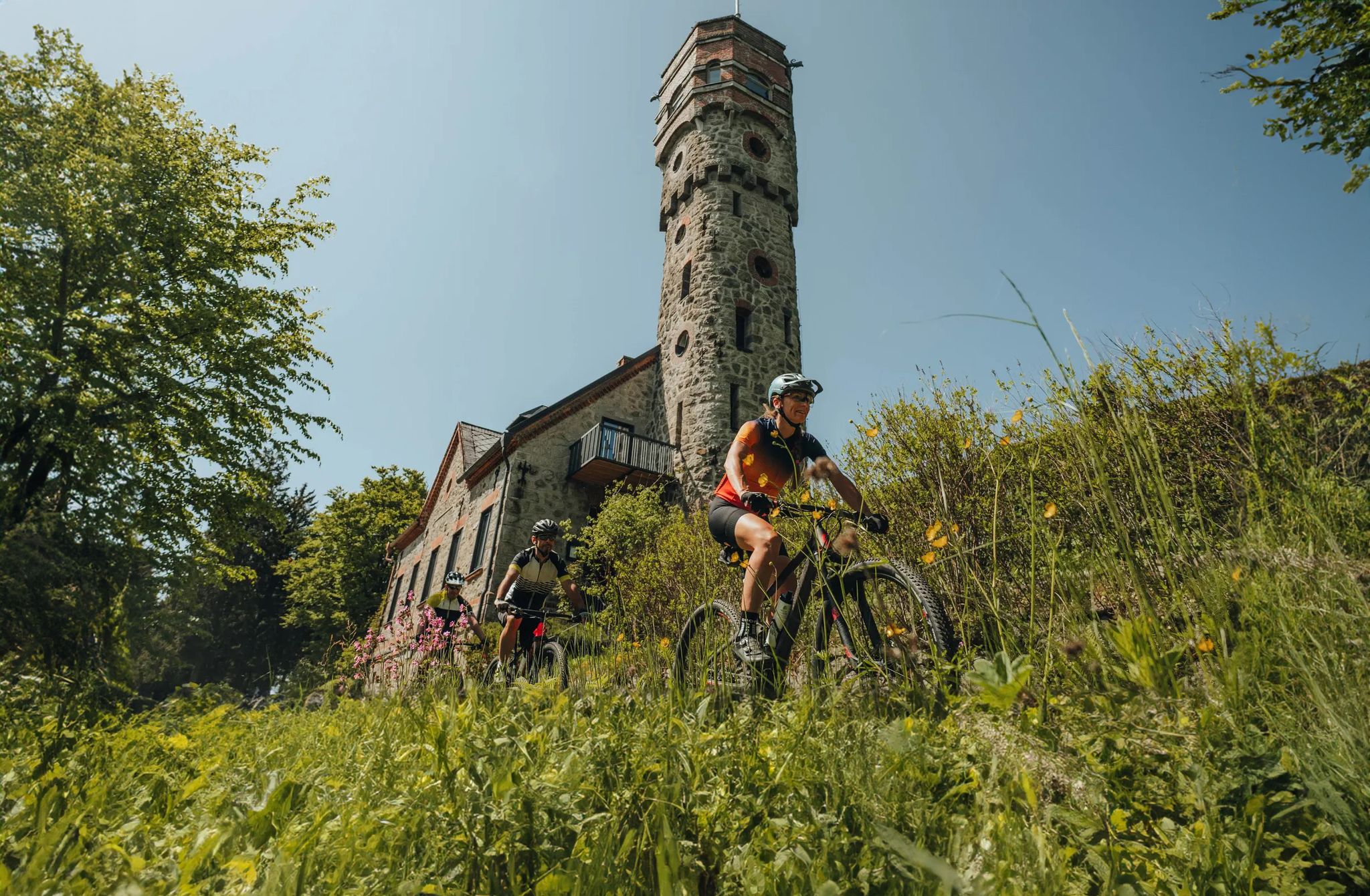
Forests, hamlets and water – bike on the Granit-Bier-Runde
Road Cycling Routes around Peilstein im Mühlviertel
Hiking around Peilstein im Mühlviertel
MTB Trails around Peilstein im Mühlviertel
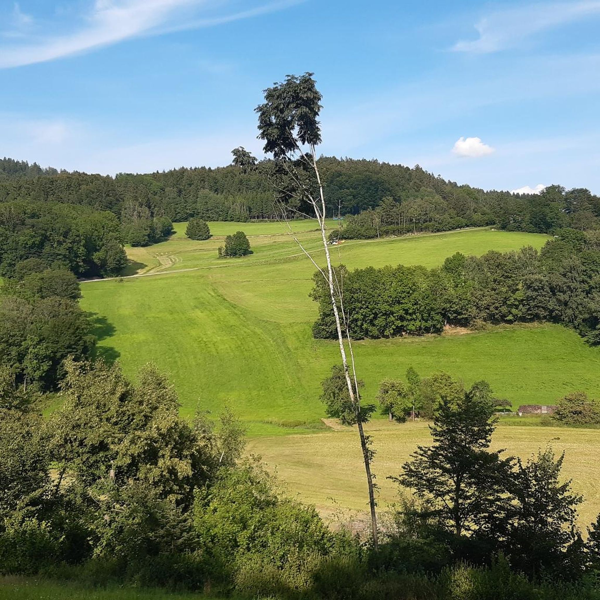
Cycling around Peilstein im Mühlviertel

Gravel biking around Peilstein im Mühlviertel
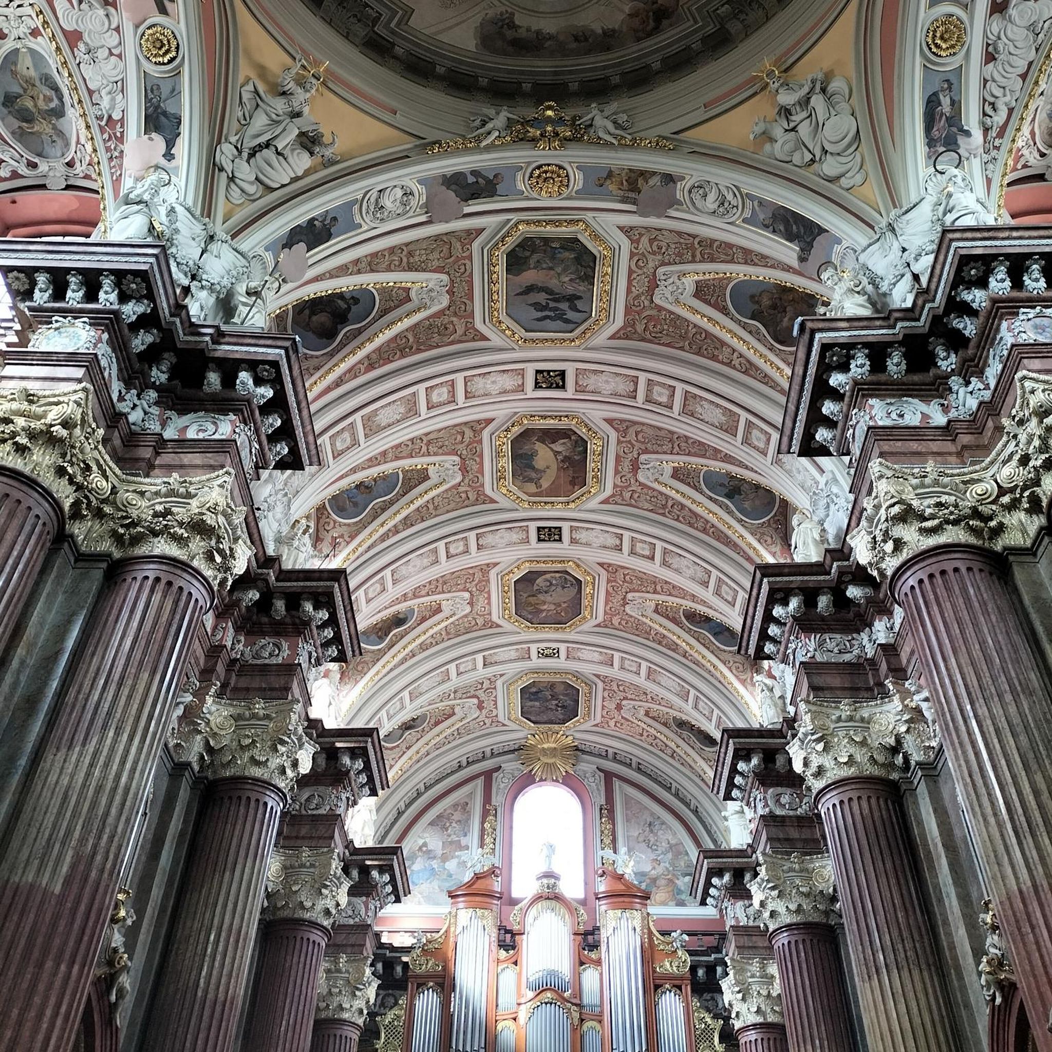
Mountain Hikes around Peilstein im Mühlviertel


Tips from the Community

From here you have a beautiful view of Nebelberg.
0
0

Frequently Asked Questions
How many running routes are available in Peilstein im Mühlviertel?
Peilstein im Mühlviertel offers a diverse network of 10 running routes. These trails cater to various fitness levels, ranging from easy paths to more challenging ascents through the region's scenic landscapes.
What kind of terrain can I expect on jogging routes in Peilstein im Mühlviertel?
The jogging routes in Peilstein im Mühlviertel feature a varied terrain, characterized by rolling hills and dense forests. While many paths offer mostly paved surfaces suitable for easy runs, you'll also find options with greater elevation gain for a more strenuous workout. The untouched, wooded areas provide a picturesque backdrop for your run.
Are there easy running paths for beginners in Peilstein im Mühlviertel?
Yes, beginners can find suitable routes. There are 2 easy running paths available. An excellent option is the Running loop from Peilstein im Mühlviertel, which is approximately 3.9 miles (6.3 km) long and features a gentle elevation profile, perfect for a relaxed run.
Can I find challenging running trails with significant elevation gain?
Absolutely. For those seeking a more strenuous workout, Peilstein im Mühlviertel offers 1 difficult running trail. The Unterthiergrub – View of Thiergrubspitz loop from Peilstein im Mühlviertel is a challenging 10.2 miles (16.4 km) route with significant elevation, providing a rewarding experience for experienced runners.
Are there any circular running routes in the area?
Yes, many of the running routes in Peilstein im Mühlviertel are designed as loops, offering convenient circular paths. For example, the popular Running loop from Peilstein im Mühlviertel is a moderate 3.8 miles (6.0 km) circular trail that takes you through wooded areas.
What are some scenic viewpoints or natural features I can see while running?
The region is rich in natural beauty. You can enjoy panoramic views from various points, including the Peilstein Mountain Summit and the Bärenstein Summit, which offers impressive vistas that can extend to the Alps on clear days. The Mühlviertel Pantry – View of loop from Peilstein im Mühlviertel route specifically highlights scenic views of the surrounding landscape. Additionally, the Bärnloch Nature Reserve, with its varied scenery and features like biotopes and wet meadows, offers a tranquil running experience.
Are there longer running routes for endurance training?
Yes, for endurance training, you can find longer routes. The Mühlviertel Pantry loop from Peilstein im Mühlviertel is a moderate 8.3 miles (13.4 km) trail, offering a good distance for a longer run through the picturesque landscape.
What do other runners say about the trails in Peilstein im Mühlviertel?
The running trails in Peilstein im Mühlviertel are highly regarded by the komoot community, with an average rating of 4.6 out of 5 stars from over 140 reviews. More than 2000 runners have explored this varied terrain, often praising the quiet woodlands, diverse landscapes, and well-maintained paths.
Are there any historical or unique features along the running paths?
Yes, the region offers unique historical elements. The Schwarzenberg Alluvial Canal, an 18th-century timber canal over 50 kilometers long, features well-developed paths alongside it, potentially offering a unique and historical route for jogging.
Are there any places to stop for a break or picnic along the routes?
Many trails in Peilstein im Mühlviertel offer places to sit and picnic spots, perfect for a break during a longer run or walk. Additionally, you might find amenities like the Blauer Hirsch Snack Station or the Greiner Inn nearby, which are listed as huts and cabins in the region.
What is the best time of year for running in Peilstein im Mühlviertel?
Peilstein im Mühlviertel is enjoyable for running throughout much of the year. The rolling hills and dense forests provide varied scenery that changes with the seasons. Spring and autumn offer pleasant temperatures and vibrant natural colors, while summer provides lush green landscapes. Even in winter, some paths may be suitable, though conditions can vary.
Most popular routes around Peilstein im Mühlviertel
Most popular attractions around Peilstein im Mühlviertel

Get inspired with the komoot mobile app


Explore more
Browse the best Running Trails & Routes in other regions.
