The best running trails around Helpfau-Uttendorf
4.3
(78)
1,973
runners
195
runs
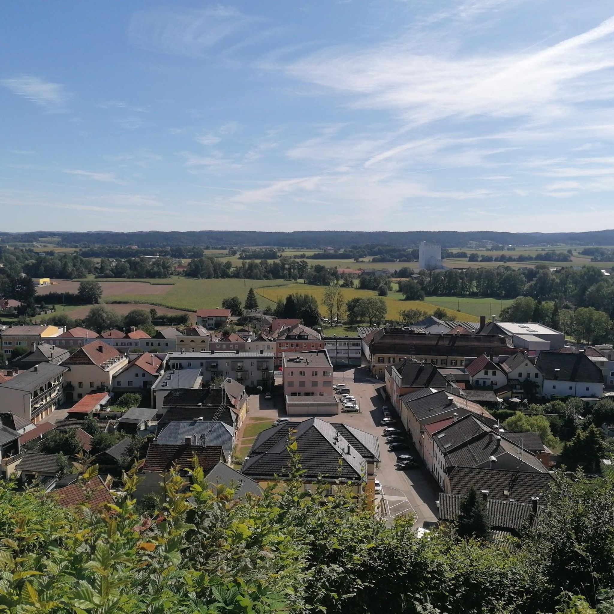
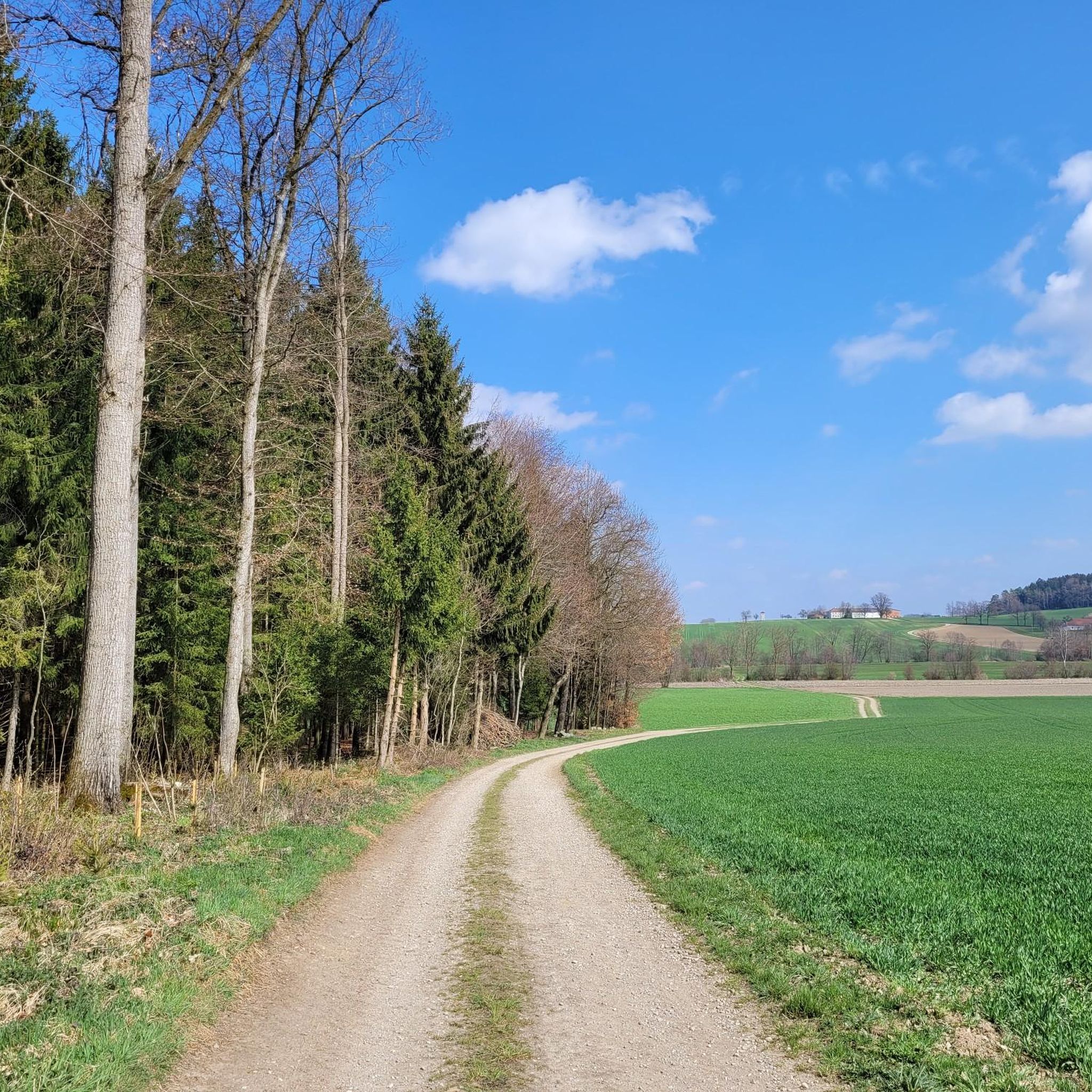
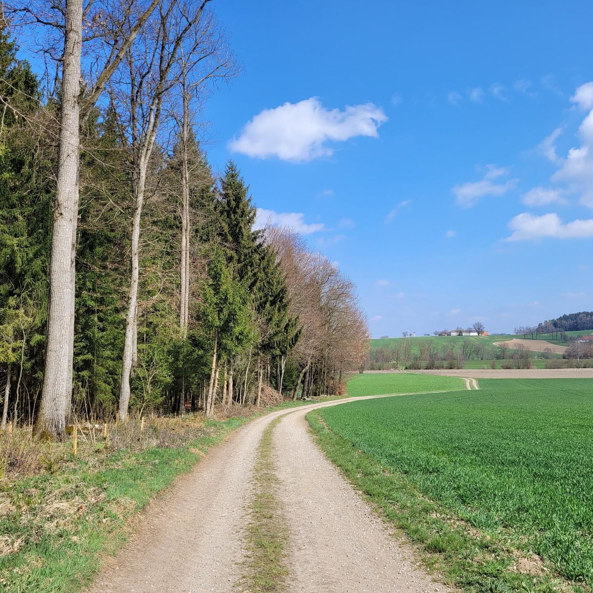
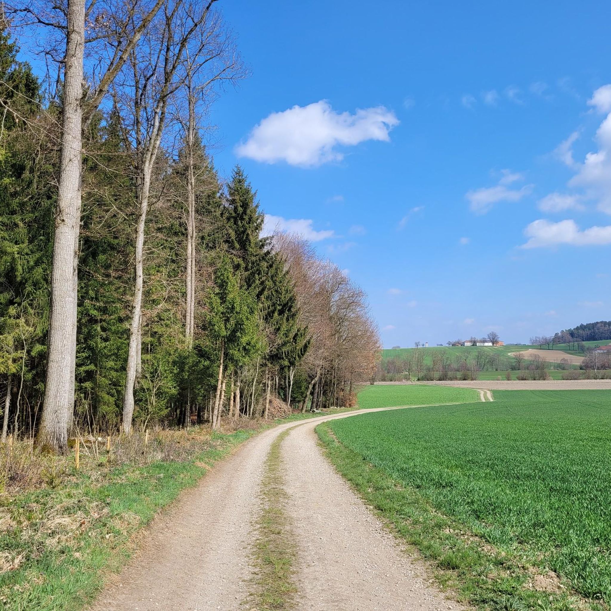
Jogging around Helpfau-Uttendorf offers diverse natural landscapes, characterized by approximately 26% forest and 62% farmland. The region features picturesque riverside paths along the Inn and Mattig rivers, providing varied scenery for outdoor enthusiasts. Gentle hills add natural variations in terrain, while many routes predominantly feature paved surfaces, ensuring accessibility for different fitness levels.
Best jogging routes around Helpfau-Uttendorf
- The most popular jogging route is Running loop from Mauerkirchen, a 3.0 miles (4.9 km) trail that takes 30 minutes to…
Last updated: July 5, 2026
17
runners
4.89km
00:30
10m
10m
Easy run. Great for any fitness level. Mostly paved surfaces. Suitable for all skill levels.
8
runners
9.25km
00:57
30m
30m
Moderate run. Good fitness required. Mostly paved surfaces. Suitable for all skill levels.

Sign up for free
7
runners
7.34km
00:46
30m
30m
Moderate run. Good fitness required. Mostly paved surfaces. Suitable for all skill levels.
7
runners
7.07km
00:44
30m
30m
Moderate run. Good fitness required. Mostly paved surfaces. Suitable for all skill levels.
7
runners
7.12km
00:44
40m
40m
Moderate run. Good fitness required. Mostly paved surfaces. Suitable for all skill levels.
Get access to more routes and recommendations from other explorers.
Sign up for free
Already have an account?
Our route recommendations are based on thousands of hikes, rides, and runs completed by other people on komoot.
Start today with a free account
Your next adventure awaits.
Login or Signup

Tips from the Community

Easy tour suitable for beginners, Scenically beautiful on many cycle paths and side roads
0
0

Here you cross the Mattig on a bridge and have a great view of the river with its crystal clear water.
0
0

Outstanding trout from spring-fresh water. Smoked or freshly slaughtered
1
0

Lovely little pond, hidden behind trees, inhabited by a few swans and ducks, this is where the Brunnbach springs from
2
0
Frequently Asked Questions
How many running routes are available in Helpfau-Uttendorf?
Helpfau-Uttendorf offers a wide variety of running experiences, with over 200 routes available. These range from easy jogs to more challenging trails, catering to all fitness levels.
What kind of terrain can I expect on the jogging routes in Helpfau-Uttendorf?
The region boasts diverse terrain, with approximately 26% forest and 62% farmland. You'll find picturesque riverside paths along the Inn and Mattig rivers, tranquil forest trails, and open routes through agricultural fields. Many paths feature paved surfaces, and there are gentle hills that add engaging variations to your run.
Are there any easy or beginner-friendly running routes in the area?
Yes, Helpfau-Uttendorf has 32 easy running routes perfect for beginners or those looking for a relaxed jog. A popular easy option is the Running loop from Mauerkirchen, which is about 3 miles (4.9 km) with minimal elevation gain.
Can I find routes with scenic views or natural features?
Absolutely! The area is rich in natural beauty. You can enjoy riverside paths along the Inn and Mattig rivers, with some routes offering clear views of the Mattig. The Floriani Pond – View of the Mattig River loop from Mauerkirchen is a great choice for scenic views and passes the tranquil Floriani Pond. Additionally, a viewpoint behind Uttendorff Castle offers panoramic vistas across the region.
Are there any circular running routes in Helpfau-Uttendorf?
Many of the running routes in Helpfau-Uttendorf are designed as loops, offering convenient circular journeys. For example, the Running loop from Helpfau-Uttendorf provides a varied landscape experience in a circular format. The Florianiweg and Helpfauer Rundweg are also noted as circular paths suitable for jogging.
What do other runners say about the routes in Helpfau-Uttendorf?
The running routes in Helpfau-Uttendorf are highly regarded by the komoot community, holding an average rating of 4.2 stars from over 70 reviews. More than 1900 runners have explored the varied terrain, often praising the scenic riverside paths, tranquil forests, and well-maintained trails.
Are there any interesting landmarks or attractions I can see while running?
Yes, several routes pass by or near cultural and natural landmarks. The Florianiweg, for instance, guides runners past the charming Erlmühlen-Weiher (Erlmühlen Pond). You might also encounter historical sites like the Parish Church of St. Nicholas or Schloss Uttendorf. The Schlosskirche Uttendorf is particularly noted for its magnificent distant views of the Mattigtal and the Alps.
Are there any routes suitable for families with children?
While specific 'family-friendly' routes aren't explicitly designated, the abundance of easy, low-elevation paths makes many suitable for families. The shorter, circular routes like the Helpfauer Rundweg (approximately 5 km) or the easy Running loop from Mauerkirchen could be good options for a family outing.
What are the best times of year to go running in Helpfau-Uttendorf?
Helpfau-Uttendorf offers enjoyable running conditions throughout much of the year. Spring and autumn provide pleasant temperatures and beautiful scenery with changing foliage. Summer is also great, especially on shaded forest trails or along the rivers. Even winter can be suitable, with some routes likely maintained for year-round access, though conditions may vary.
Are there any running routes that follow rivers or offer water views?
Definitely. The presence of the Inn and Mattig rivers is a major highlight for runners. Many routes feature idyllic riverside paths, such as those along the Inn, and some offer clear views of the Mattig River, with certain trails even crossing it. The Floriani Pond – View of the Mattig River loop from Mauerkirchen is a prime example, offering scenic water views.
Are there options for longer, more challenging runs?
Yes, for those seeking a greater challenge, Helpfau-Uttendorf offers 153 moderate and 18 difficult running routes. These longer trails often feature greater elevation changes, extending up to 10 miles with around 1000 ft of elevation, providing a more strenuous workout amidst varied landscapes.
Most popular routes around Helpfau-Uttendorf
Most popular attractions around Helpfau-Uttendorf

Get inspired with the komoot mobile app


Explore more
Browse the best Running Trails & Routes in other regions.
