The best running trails around Losenstein
4.6
(30)
1,756
runners
93
runs
Jogging around Losenstein offers diverse terrain within the picturesque Enns Valley, characterized by impressive mountains and scenic river paths. The region features prominent peaks like Hohe Dirn and Schieferstein, providing challenging trail running opportunities. Losenstein's proximity to the Kalkalpen National Park ensures access to untouched nature and varied ecosystems, including gorge forests and meadows. This natural setting provides a wide array of routes for runners of all fitness levels.
Best jogging routes around Losenstein
- The most popular jogging route is…
Last updated: July 1, 2026
5
runners
8.05km
01:17
380m
380m
Hard run. Very good fitness required. Sure-footedness, sturdy shoes and alpine experience required.
9
runners
40.3km
04:28
700m
700m
Hard run. Very good fitness required. Mostly paved surfaces. Suitable for all skill levels.

Sign up for free
4
runners
22.2km
02:32
560m
560m
Hard run. Very good fitness required. Mostly paved surfaces. Suitable for all skill levels.
5
runners
11.6km
01:22
370m
370m
Hard run. Very good fitness required. Mostly paved surfaces. Suitable for all skill levels.
6
runners
19.7km
03:05
940m
940m
Hard run. Very good fitness required. Sure-footedness, sturdy shoes and alpine experience required.
Get access to more routes and recommendations from other explorers.
Sign up for free
Already have an account?
Our route recommendations are based on thousands of hikes, rides, and runs completed by other people on komoot.
Start today with a free account
Your next adventure awaits.
Login or Signup
Other adventures around Losenstein

Tips from the Community

At this beautiful spot, the summit of the „Hohe Dirn“, I would like to recommend a short thought from Peter Rosegger (1843-1918) to the (mountain) hiker: „When you are exhausted, seek new strength in the heights of the mountains, where you can be closest to God and yourself – and where Mother Earth most strongly radiates her beneficial power.“
0
0

For the last stretch to the summit, it's better to leave the bike behind, then you won't have to struggle unnecessarily. Even riding back is only fun for enduro enthusiasts, and avoiding hikers is almost impossible.
0
0

A must-see at least once in your life.
1
0


Impressive view towards Hochbuchberg and the Alpine foothills
1
1

Very easy to reach summit, with fantastic views!🤗
1
0
Frequently Asked Questions
What kind of terrain can I expect on running routes around Losenstein?
Losenstein offers a diverse range of running terrain. You'll find everything from relaxed riverside paths along the Enns and Steyr rivers to challenging mountain trails on peaks like Hohe Dirn and Schieferstein. Many routes feature varied surfaces, including forest roads, hiking paths, and ascents and descents through dense woodlands.
Are there any easy running routes suitable for beginners in Losenstein?
While many routes in Losenstein are rated as difficult, there are options for all fitness levels. The region's network includes paths suitable for easy jogs, particularly along the river valleys. For a more leisurely experience, consider trails like the "Wild Waters" Nature Trail, which follows a romantic stream and is great for a relaxed jog or family outing.
What are some notable landmarks or viewpoints I can see while jogging in Losenstein?
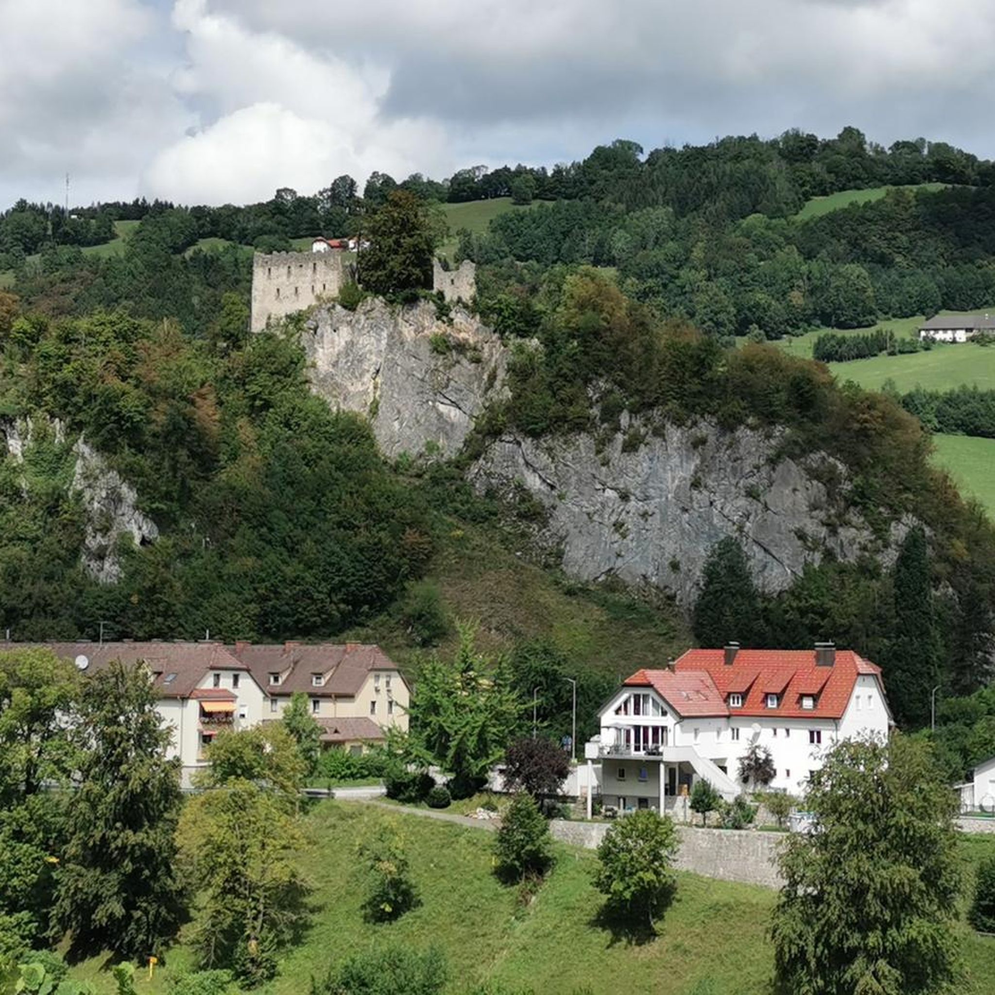
Losenstein's routes offer scenic views and historical sights. You can jog to the 12th-century Losensteinburg ruins, which provide magnificent panoramic views of the valley. Other prominent natural features include the Schoberstein Summit and the Schieferstein and Steinerner Jäger Peaks, offering rewarding vistas for more challenging runs.
Are there any running routes that feature waterfalls or other natural monuments?
Yes, the Losenstein area is rich in natural beauty. You can find routes that pass by the Fallerbucht Waterfall or the Hölleiten Waterfall. The region's proximity to the Kalkalpen National Park also ensures access to untouched nature and diverse ecosystems.
What do other runners say about the jogging trails in Losenstein?
The running routes in Losenstein are highly rated by the komoot community, with an average score of 4.6 stars from around 30 reviews. Over 1,700 runners have explored the varied terrain, often praising the challenging ascents, rewarding views, and the diverse natural landscapes, from river paths to mountain trails.
Are there any circular running routes available in Losenstein?
Yes, many of the routes around Losenstein are designed as loops. For example, the Sonnkogel – Anton-Schosser-Hütte loop from Schwarzkogel is a popular circular trail. Another option is the Running loop from Losenstein, which offers varied terrain and scenic viewpoints around the village.
Can I bring my dog on the running trails in Losenstein?
Losenstein is generally welcoming to outdoor enthusiasts and their canine companions. Many trails, especially those through forests and along river paths, are suitable for dogs. However, it's always recommended to keep your dog on a leash, especially in nature reserves or near wildlife, and to check specific trail regulations if available.
Are there family-friendly jogging options in Losenstein?
Absolutely. For families looking for a more relaxed jog, the "Wild Waters" Nature Trail is an excellent choice. Its well-signposted path along a romantic stream makes it suitable for a leisurely outing. The gently winding path to the Losensteinburg ruins is also a scenic option for families.
What is the best time of year to go running in Losenstein?
Losenstein offers good running conditions throughout much of the year. The mild climate, influenced by the Schieferstein mountain, makes it pleasant. Spring and autumn provide comfortable temperatures and beautiful scenery. Summer is also great, especially for higher-altitude trails, while winter can offer unique snow-covered routes, though some higher trails might be less accessible.
How many running routes are there in the Losenstein area?
The Losenstein region boasts a comprehensive network of over 100 running routes. These range from easy paths to very difficult trail runs, ensuring there's a suitable option for every runner, whether you're looking for a quick jog or a challenging mountain adventure.
Are there any challenging trail running routes for experienced runners?
Yes, Losenstein is known for its challenging trail running opportunities. Routes like the Anton Schosser Hut – Hohe Dirn Summit loop from Losenstein lead through demanding mountain landscapes and towards the Hohe Dirn Summit. The region's prominent mountains like Hohe Dirn and Schieferstein provide varied and strenuous terrain for advanced runners.
Where can I find parking for the running trails in Losenstein?
Parking is generally available in and around Losenstein, especially near popular trailheads and the village center. For routes heading into the mountains, specific parking areas are often designated. It's advisable to check the starting point of your chosen route for the most convenient parking options.
Most popular routes around Losenstein
Most popular attractions around Losenstein

Get inspired with the komoot mobile app


Explore more
Browse the best Running Trails & Routes in other regions.
