The best running trails around Stratfield Turgis
4.6
(60)
7,475
runners
478
runs
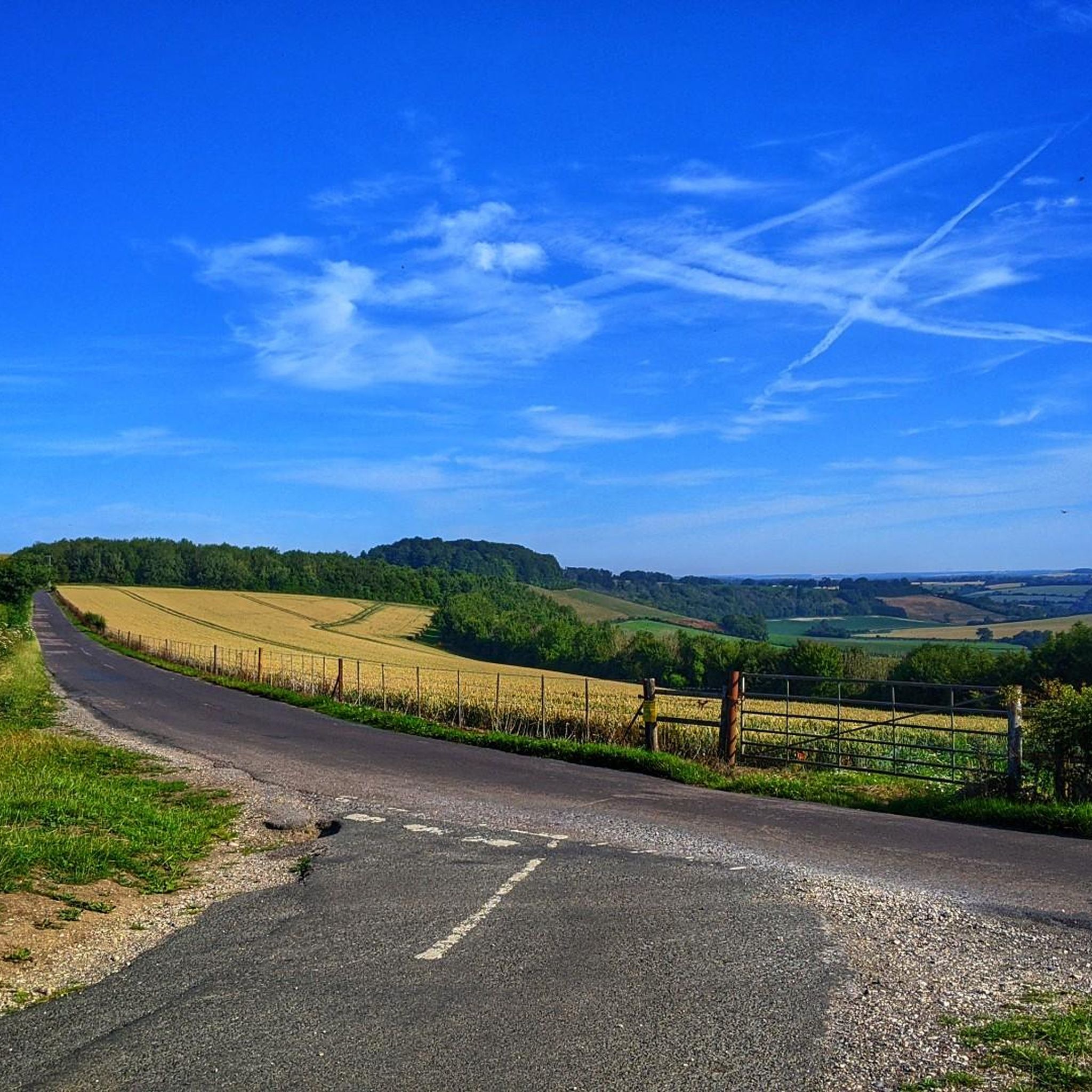
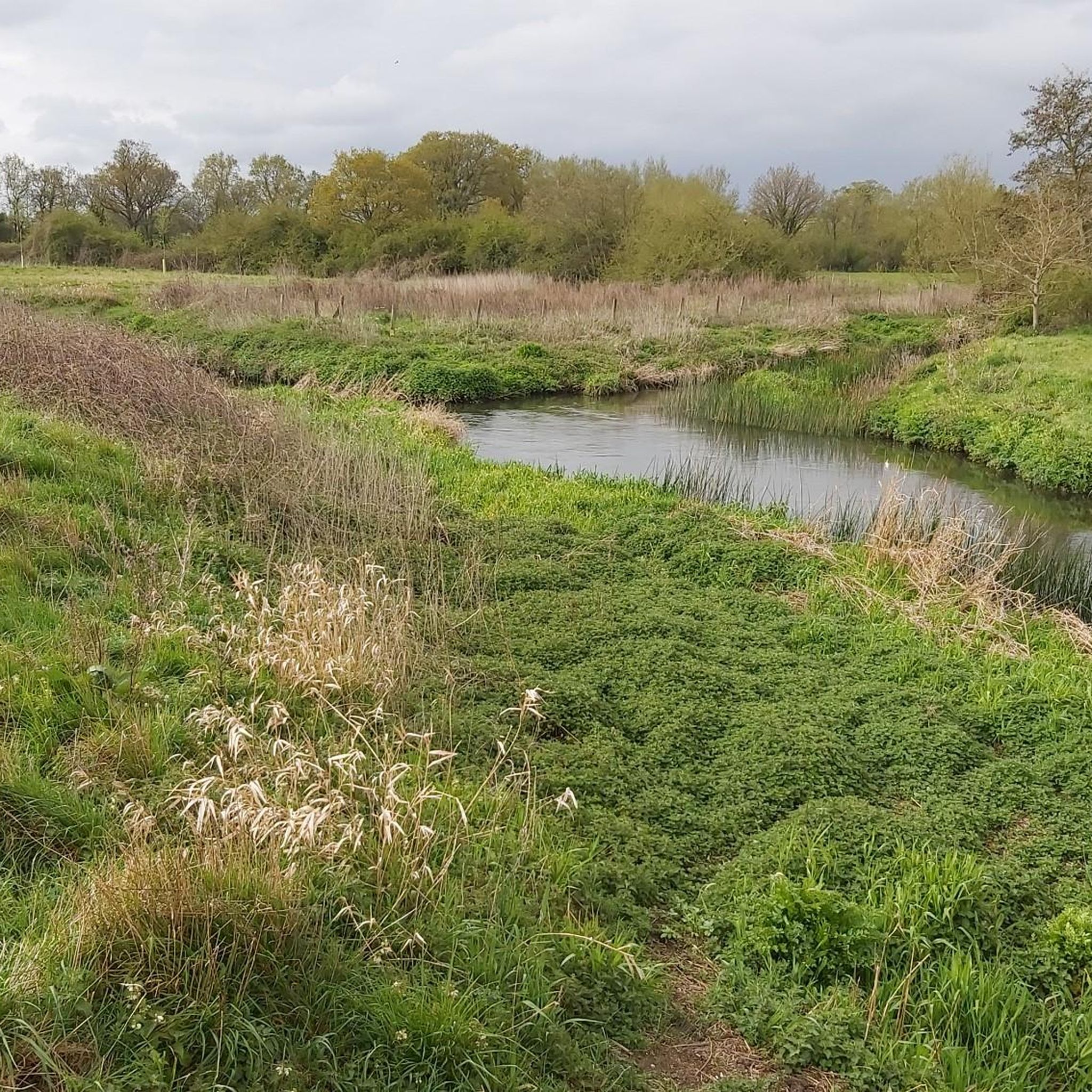
Jogging around Stratfield Turgis offers varied terrain across northeast Hampshire. The region is characterized by a mix of small forest pockets and arable fields, providing diverse natural landscapes for running. The River Loddon meanders through the area, offering pathways alongside its streams and through ancient woodlands. Terrain is generally gentle, with elevations ranging from 50 meters by the river to 82 meters at the local high point.
Best jogging routes around Stratfield Turgis
- The most popular jogging route is Running…
Last updated: July 15, 2026
86
runners
16.6km
01:43
70m
70m
Hard run. Very good fitness required. Mostly paved surfaces. Suitable for all skill levels.
20
runners
7.32km
00:46
40m
40m
Moderate run. Good fitness required. Mostly paved surfaces. Suitable for all skill levels.

Sign up for free
11
runners
5.85km
00:36
20m
20m
Moderate run. Good fitness required. Mostly paved surfaces. Suitable for all skill levels.
10
runners
Moderate run. Good fitness required. Mostly paved surfaces. Suitable for all skill levels.
9
runners
Easy run. Great for any fitness level. Mostly paved surfaces. Suitable for all skill levels.
Get access to more routes and recommendations from other explorers.
Sign up for free
Already have an account?
Our route recommendations are based on thousands of hikes, rides, and runs completed by other people on komoot.
Start today with a free account
Your next adventure awaits.
Login or Signup
Tips from the Community

Open and busy when I passed middle of a Friday afternoon in May 2026. They have a pilgrim stamp, and apart from the cafe also a well-stocked (if ££) shop, you could get the makings of a meal or 2 here instead of/as well as enjoying either a snack (as I did) or a full meal.
0
0

Sherfield on Loddon is always good for a coffee stop.
1
0
Not so visible from The Street, which runs through the middle of Bramley, but definitely at the centre of many a local ride, whether down Cufaude Lane back to nearby Chineham, or Vyne Road, leading to the Vyne, a nearby National Trust property. Alternatively you can go to the Village Bakery, next to the railway station or a few miles further to the Coffee Shop at Sherfield on Loddon.
1
0
A delightful coffee stop, especially after their post-COVID restructuring, which includes plenty of outside seating (with shade parasols). Choice of coffee and cakes is good. Very popular but I've never not been able to get seated. And, it's open all day on Sundays, which is quite unusual. If there is any negatives, it is location! Positioned very close to the busy A33, it is best accessed from nearby much quieter lanes with a short detour. Riding on the A33 is unpleasant!
1
0

Highly HIGHLY recommend this place. I'm usually underwhelmed by cafe stops, but this place absolutely nailed it! Super friendly, efficient staff; delicious food in big portions (I couldn't even finish my sandwich) and plenty of places to rest your bike with lots of outdoor seating, which even has heating so you don't have to worry about getting cold! Excellent
1
0

A little shelter at Fair Cross just outside Stratfield Saye. Perfect spot to stop for a quick refuel mid ride.
0
0

Great cake! Definitely worth a try!
1
0
Frequently Asked Questions
How many running routes are available around Stratfield Turgis?
There are nearly 500 running routes documented around Stratfield Turgis on komoot, offering a wide variety of options for joggers of all levels. You'll find routes ranging from easy strolls to more challenging runs.
What kind of terrain can I expect on jogging trails in Stratfield Turgis?
The terrain around Stratfield Turgis is generally gentle, characterized by a mix of small forest pockets, ancient woodlands, and arable fields. You can expect pathways alongside the River Loddon and through varied rural landscapes. Elevations typically range from 50 meters by the river to 82 meters at the local high point, providing some gentle inclines.
Are there any family-friendly running routes suitable for strollers or younger children?
While specific stroller-friendly routes are not explicitly highlighted, the generally gentle terrain and accessible paths in the area make many routes suitable for families. Look for routes described as 'easy' on komoot, which often feature smoother surfaces. The Bramley Village Bakery loop from Bramley is a moderate 5.9 km path that offers pleasant views and passes through village surroundings, which might be a good option for families.
Can I bring my dog on the running trails in Stratfield Turgis?
Yes, many of the public footpaths and running trails around Stratfield Turgis are dog-friendly. The area's natural landscapes, including woodlands and riverside paths, provide excellent opportunities for running with your canine companion. Always ensure your dog is under control, especially when passing through fields with livestock, and adhere to any local signage regarding leads.
What historical landmarks or natural features can I see while running in Stratfield Turgis?
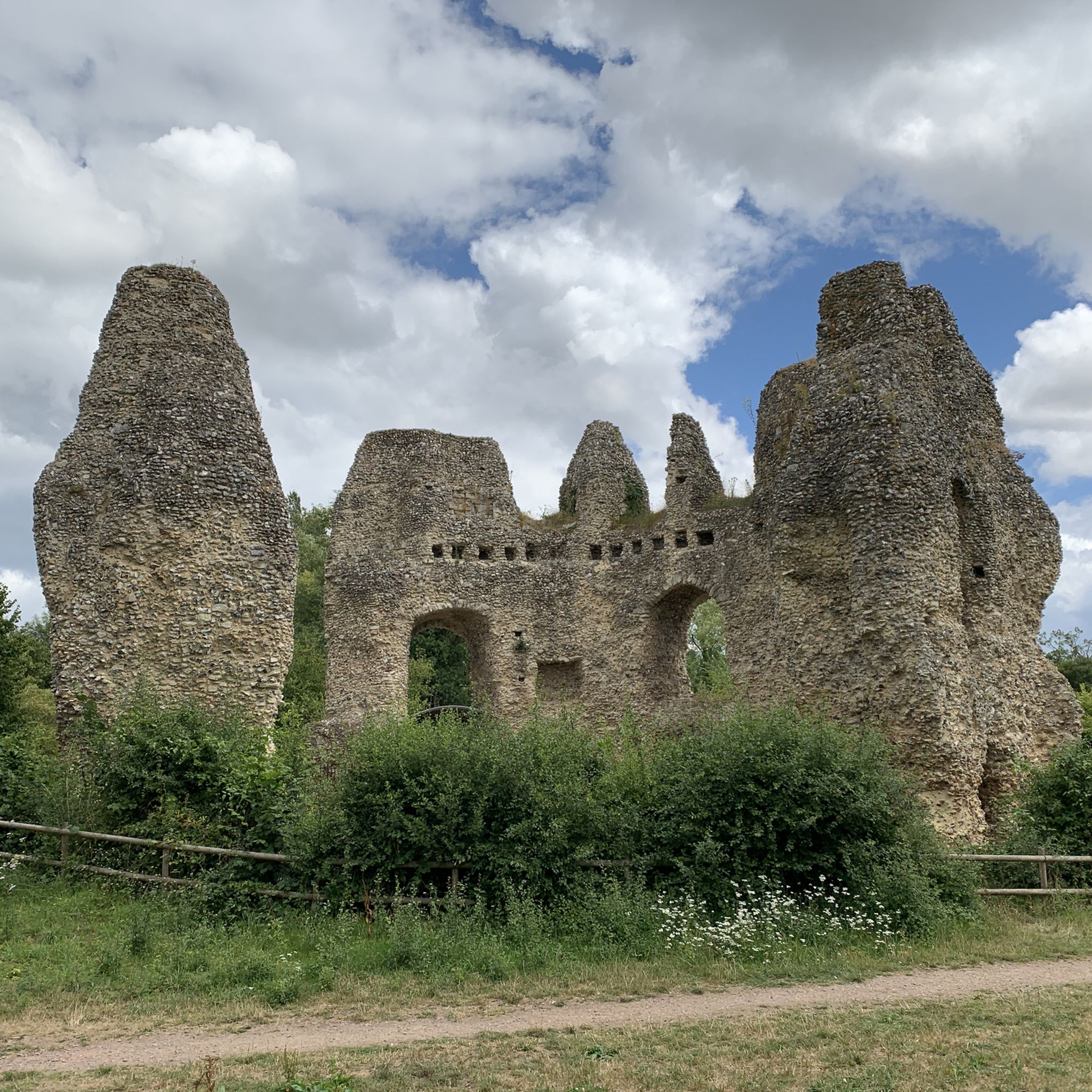
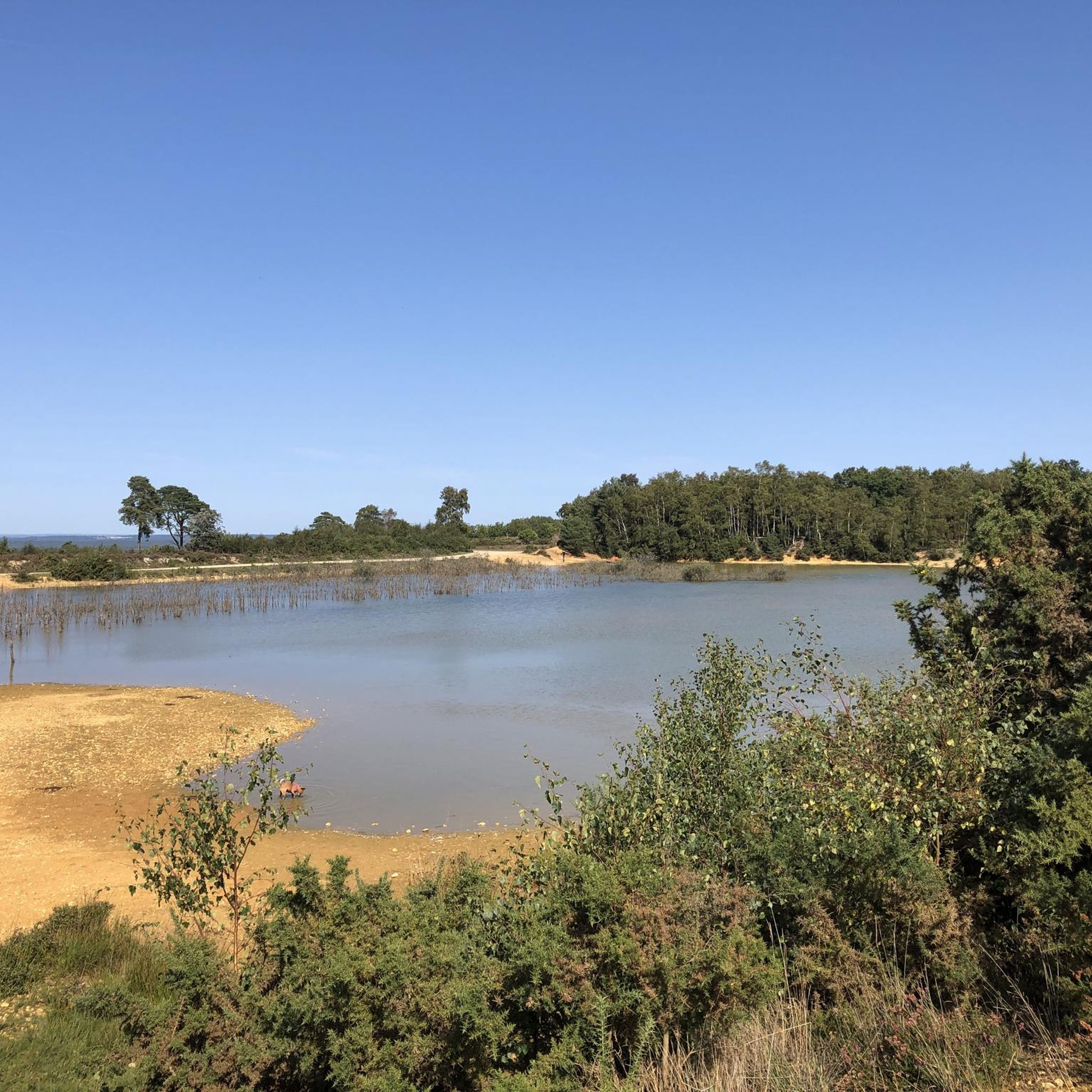
The region is rich in historical and natural attractions. You might encounter sites like the Odiham Castle Ruins, accessible via the Basingstoke Canal towpath, or the ancient Roman town site of Calleva Atrebatum with its crumbling walls. Natural features include the meandering River Loddon and various lakes such as Hosehill Lake. The The Vyne, a National Trust property, also offers extensive grounds for exploration.
Are there many circular running routes in the area?
Yes, many of the running routes around Stratfield Turgis are designed as circular loops, allowing you to start and finish at the same point. For example, the Running loop from Sherfield on Loddon is a popular 7.3 km circular trail, and the Running loop from Bramley offers a 10 km circular experience through forest pockets.
What do other runners say about the jogging routes in Stratfield Turgis?
The running routes in Stratfield Turgis are highly rated by the komoot community, with an average score of 4.7 stars from over 40 reviews. Runners often praise the varied rural landscapes, the tranquility of the ancient woodlands, and the well-maintained network of footpaths that make for enjoyable running experiences.
What is the best time of year to go running in Stratfield Turgis?
Stratfield Turgis offers pleasant running conditions throughout much of the year. Spring and autumn provide mild temperatures and beautiful scenery with changing foliage. Summer is also great, though it's advisable to run in the mornings or evenings to avoid the midday heat. During winter, some riverside paths might become muddy, so appropriate footwear is recommended.
Are there any running routes that pass by a pub or cafe?
While specific routes with integrated pub stops aren't detailed in the guide, the Bramley Village Bakery loop from Bramley passes through village surroundings, suggesting opportunities for refreshments. Many villages in the area, such as Sherfield on Loddon and Bramley, have local pubs or cafes where you can refuel after your run.
Where can I park when accessing running trails in Stratfield Turgis?
Parking options are generally available in the villages and near popular trailheads. For routes starting from Sherfield on Loddon or Bramley, you can often find local parking. It's always a good idea to check specific route details on komoot for recommended starting points and parking information, or look for public car parks in the nearby villages.
What is the longest moderate running route available?
One of the longer moderate running routes is the Chandler's Copse – Sedgemoor Copse loop from Sherfield on Loddon, which spans approximately 11.9 km (7.4 miles). This route offers a good distance for those looking for a longer, yet still accessible, run through varied landscapes.
Are there any challenging running routes with significant elevation gain?
The terrain around Stratfield Turgis is generally gentle, with elevations ranging from 50 to 82 meters. While there are no routes with significant mountain-like climbs, some trails offer more varied inclines. For instance, the Chandler's Copse – Sedgemoor Copse loop from Sherfield on Loddon has an elevation gain of about 68 meters, providing a slightly more undulating experience compared to flatter riverside paths.
Most popular attractions around Stratfield Turgis

Get inspired with the komoot mobile app


Explore more
Browse the best Running Trails & Routes in other regions.
