The best mountain hikes around Oberwang
4.7
(578)
7,679
hikers
69
hikes
Mountaineering routes around Oberwang, situated in Oberösterreich, Austria, traverse a landscape characterized by rolling hills, dense forests, and alpine meadows. The region offers access to the broader Salzkammergut mountain massif, providing diverse terrain for mountaineering. Crystal-clear glacial lakes like Attersee and Mondsee are prominent natural features, enhancing the scenic backdrop for these routes.
Best mountaineering routes around Oberwang
- The most popular mountaineering route is Stone Cairns – Archduchess Valerie Trail loop from Unterach am Attersee, an 8.7 miles (13.9…
Last updated: October 5, 2026
4.8
(6)
64
hikers
13.1km
07:39
1,220m
1,220m
Hard mountaineering route. Very good fitness required. Sure-footedness, sturdy shoes and alpine experience required.
5.0
(1)
43
hikers
9.77km
03:34
620m
620m
Moderate mountaineering route. Good fitness required. Easily-accessible paths. Suitable for all skill levels.

5.0
(3)
25
hikers
Hard mountaineering route. Good fitness required. Sure-footedness, sturdy shoes and alpine experience required.
27
hikers
6.16km
02:59
540m
540m
Moderate mountaineering route. Good fitness required. Mostly accessible paths. Sure-footedness required.
15
hikers
Moderate mountaineering route. Good fitness required. Mostly accessible paths. Sure-footedness required.
Get access to more routes and recommendations from other explorers.
Already have an account?
Our route recommendations are based on thousands of hikes, rides, and runs completed by other people on komoot.
Start today with a free account
Your next adventure awaits.
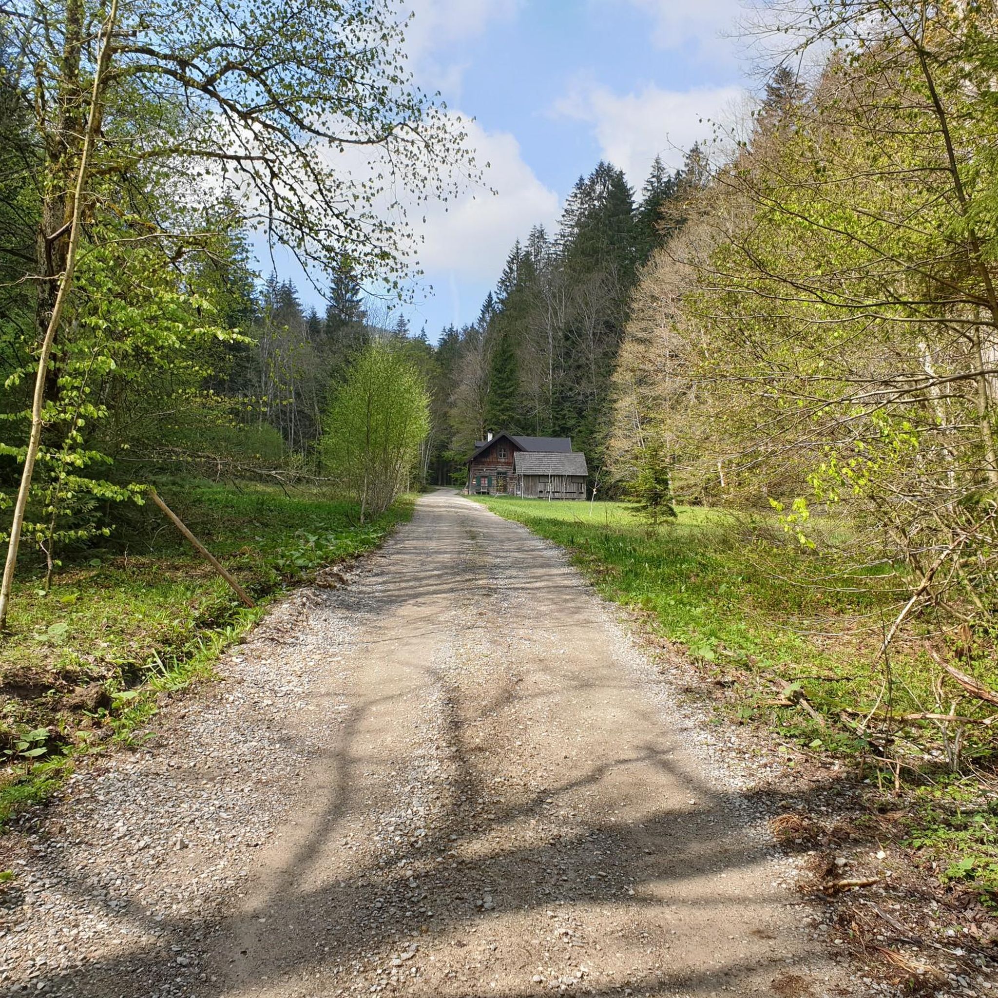
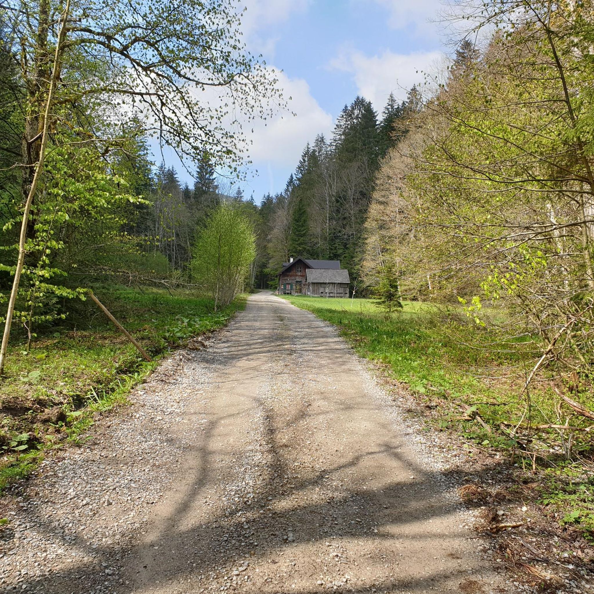

Other adventures around Oberwang

Tips from the Community


Unfortunately, the summit cross on the Weinbergknogel is no longer standing. At least not on March 23, 2025.
2
0


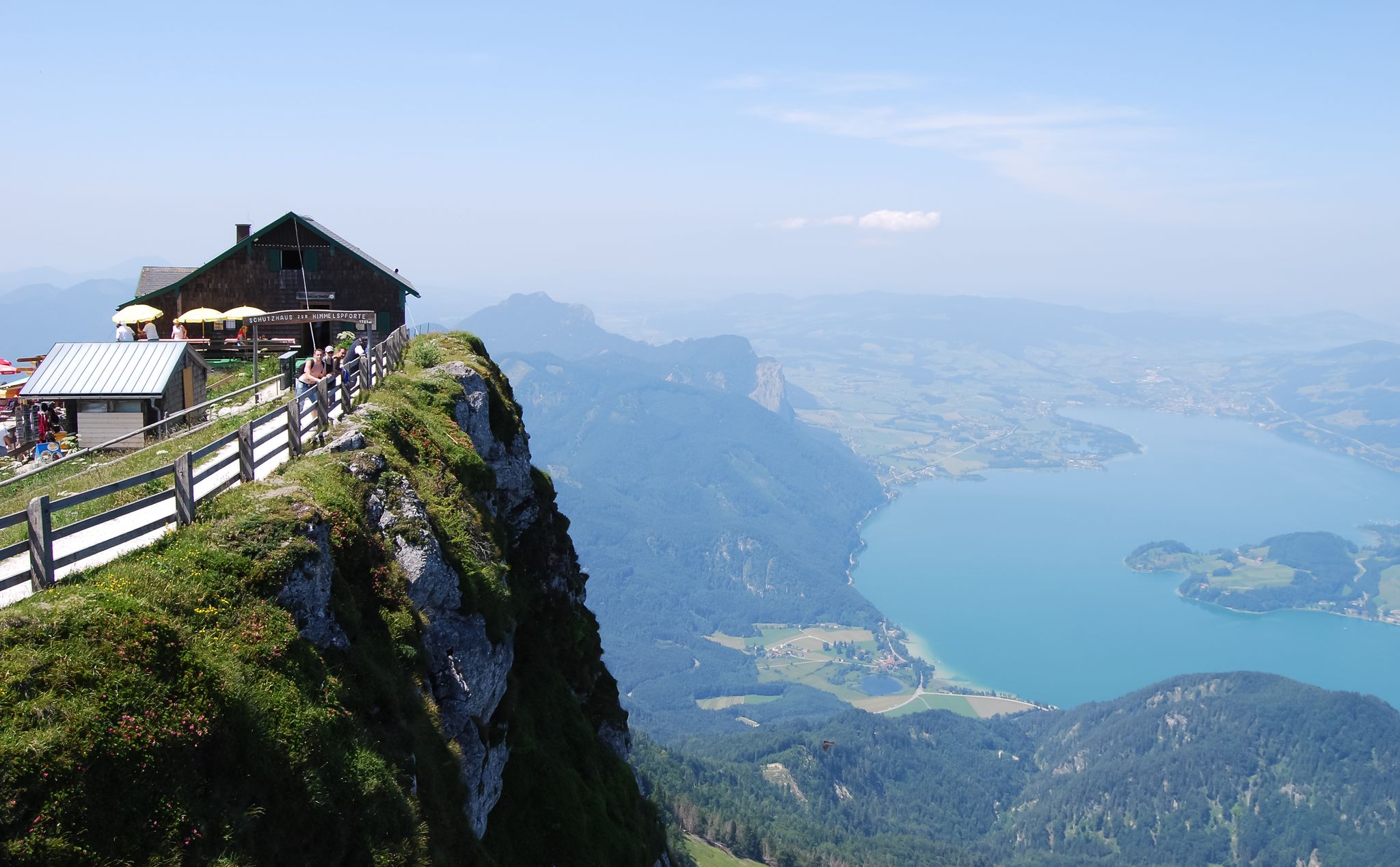
The path up from here is very interesting ☺️. You shouldn't be afraid of heights and should wear good shoes. It's a good and entertaining path to the lake from St. Wolfgang. If you continue from there you'll find small "ponds" that are also very beautiful. But you then have to go over a relatively easy path at the beginning. Towards the end, towards the gates of heaven, it becomes more challenging.
0
0

From the rock 20 meters before the summit you can also see Lake Mondsee. Incredibly beautiful 🎉
0
0

From the east, cycling is prohibited before the summit and after about 300m you have to carry your bike anyway. The downhill section is challenging and not for everyone!! (and also illegal). So if you are going back the same way, I recommend leaving your bike at the no-entry sign.
2
0

Unfortunately, the cross from the Weinkogel was removed and the path to the ascent was closed.
2
0
Frequently Asked Questions
How many mountaineering routes are available around Oberwang?
There are over 70 mountaineering routes around Oberwang, offering a wide range of options for different skill levels. You'll find everything from easier paths to challenging summit tours within the Salzkammergut mountain massif.
Are there routes suitable for beginners in Oberwang?
While many routes are moderate to difficult, there are options for beginners. The region features rolling hills and dense forests, providing a good starting point for those new to mountaineering. For example, the area offers 1 easy route and 26 moderate routes, which can be suitable for those with some hiking experience looking to progress.
What are some challenging mountaineering routes in the Oberwang area?
For experienced mountaineers, the region offers several demanding routes. The Stone Cairns – Archduchess Valerie Trail loop from Unterach am Attersee is a difficult 8.7-mile (13.9 km) trail known for its alpine views and unique stone cairns. Another challenging option is the View of Lake Attersee – Eisenaualm loop from Eisenau, Schafberg, which is 8.1 miles (13.1 km) and provides expansive views of Lake Attersee.
Are there any circular mountaineering routes near Oberwang?
Yes, many routes in the Oberwang area are designed as loops, allowing you to start and end in the same location. An example is the Eisenaualm loop from Unterach am Attersee, a 4.2-mile (6.7 km) trail through alpine pastures. The Eisenaualm loop from Oberburgau is another moderate circular option, covering 3.8 miles (6.1 km).
Can I find routes with waterfalls in the Oberwang region?
Yes, the region's natural beauty includes waterfalls. You can explore the Waterfall on Eisenenauerweg – View of Mondsee loop from Unterach am Attersee, a 6.6-mile (10.6 km) difficult route that features a waterfall and offers views of Lake Mondsee.
What kind of wildlife might I encounter on the trails?
The diverse landscapes around Oberwang, with its dense forests and alpine meadows, are home to various wildlife. While specific sightings are never guaranteed, you might encounter deer, chamois, and a variety of bird species. Keep an eye out, especially in quieter sections of the trails.
What is the best time of year for mountaineering in Oberwang?
The best time for mountaineering in Oberwang is typically from late spring to early autumn (May to October). During these months, the weather is generally more stable, and trails are clear of snow, offering optimal conditions for exploring the Salzkammergut's stunning landscapes. Always check local weather forecasts before heading out.
Are there any family-friendly mountaineering options?
While many routes are challenging, some trails around Oberwang are suitable for families, especially those with some hiking experience. Look for shorter, less steep paths that traverse rolling hills and meadows. The region's natural beauty, including lakes like Attersee and Mondsee, provides a scenic backdrop for family outings.
What are some notable landmarks or attractions I can see while mountaineering?
The Oberwang area is rich in natural and historical landmarks. You can encounter impressive peaks like Schafberg Summit and Panoramic Viewpoint, Großer Schoberstein summit, and Schober Summit. The dramatic Drachenwand is also a significant feature for experienced hikers. Additionally, you'll often have views of beautiful lakes such as Mondsee.
What do other mountaineers appreciate about the routes in Oberwang?
The mountaineering routes around Oberwang are highly rated by the komoot community, with an average score of 4.7 stars from over 550 reviews. Reviewers often praise the diverse terrain, ranging from rolling hills to dramatic alpine landscapes, and the breathtaking views of glacial lakes like Attersee and Mondsee.
What should I wear for mountaineering in Oberwang?
Given the varied terrain and potential for changing weather in the Salzkammergut, it's advisable to wear sturdy hiking boots with good ankle support. Layered clothing is recommended, including moisture-wicking base layers, insulating mid-layers, and a waterproof and windproof outer shell. Don't forget sun protection, a hat, and gloves, even in summer, especially for higher elevations.
Are there places to eat or drink near the mountaineering routes?
Oberwang itself offers amenities, and many routes pass through or near villages where you can find traditional Austrian guesthouses (Gasthäuser) or cafes. Some alpine pastures, like the Eisenaualm, may also have huts (Almhütten) offering refreshments during peak season. It's always a good idea to carry sufficient water and snacks, especially on longer tours.
How long do mountaineering routes typically take around Oberwang?
The duration of mountaineering routes in Oberwang varies significantly based on difficulty and length. Shorter, moderate trails like the Eisenaualm loop can take around 3-4 hours. More challenging and longer routes, such as the Stone Cairns – Archduchess Valerie Trail loop, can take over 5 hours to complete, not including breaks.
Most popular routes around Oberwang
Most popular attractions around Oberwang

Get inspired with the komoot mobile app


Explore more
Browse the best Mountain Hikes & Routes in other regions.
