The best MTB trails around Kingsclere
4.6
(147)
665
riders
108
rides
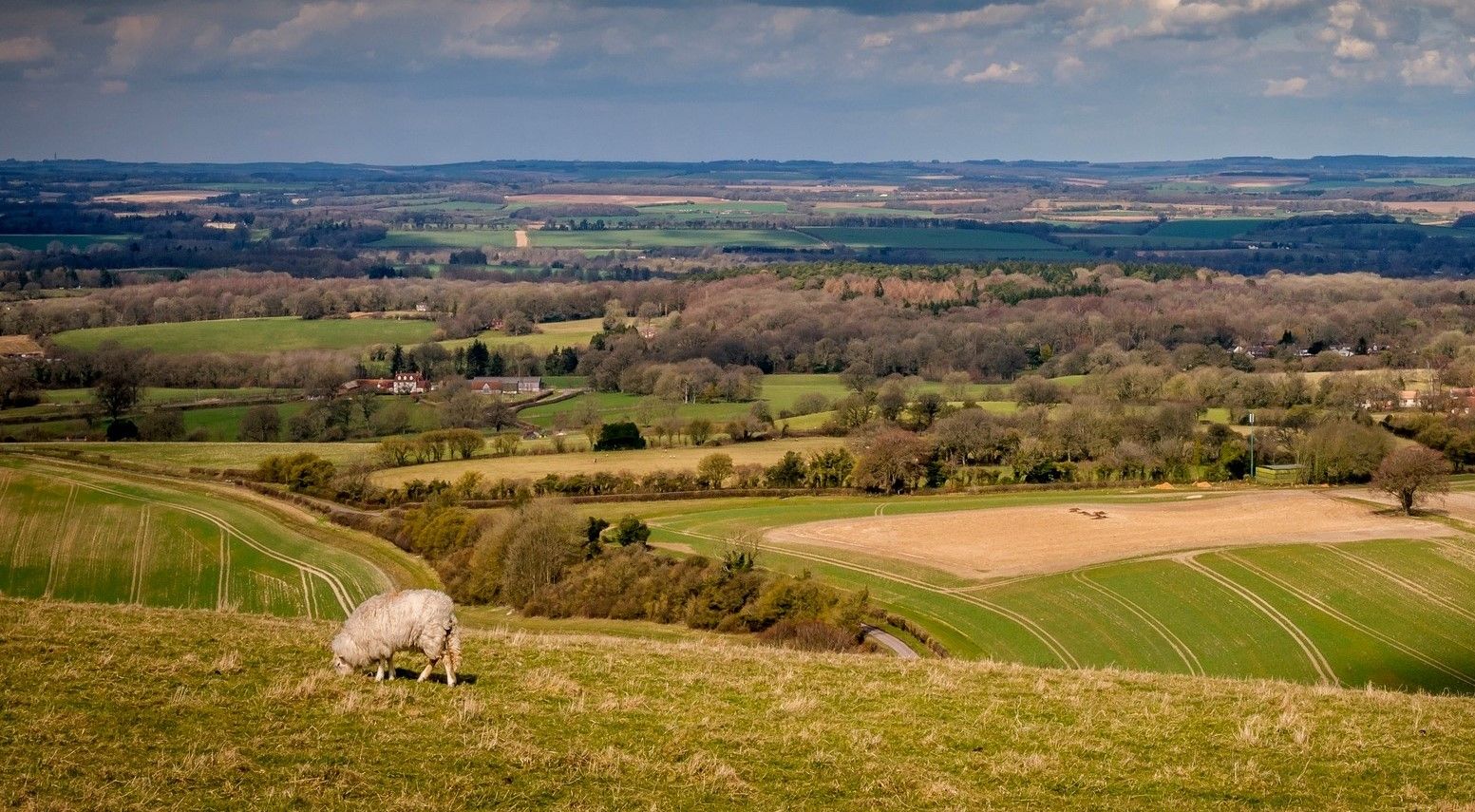
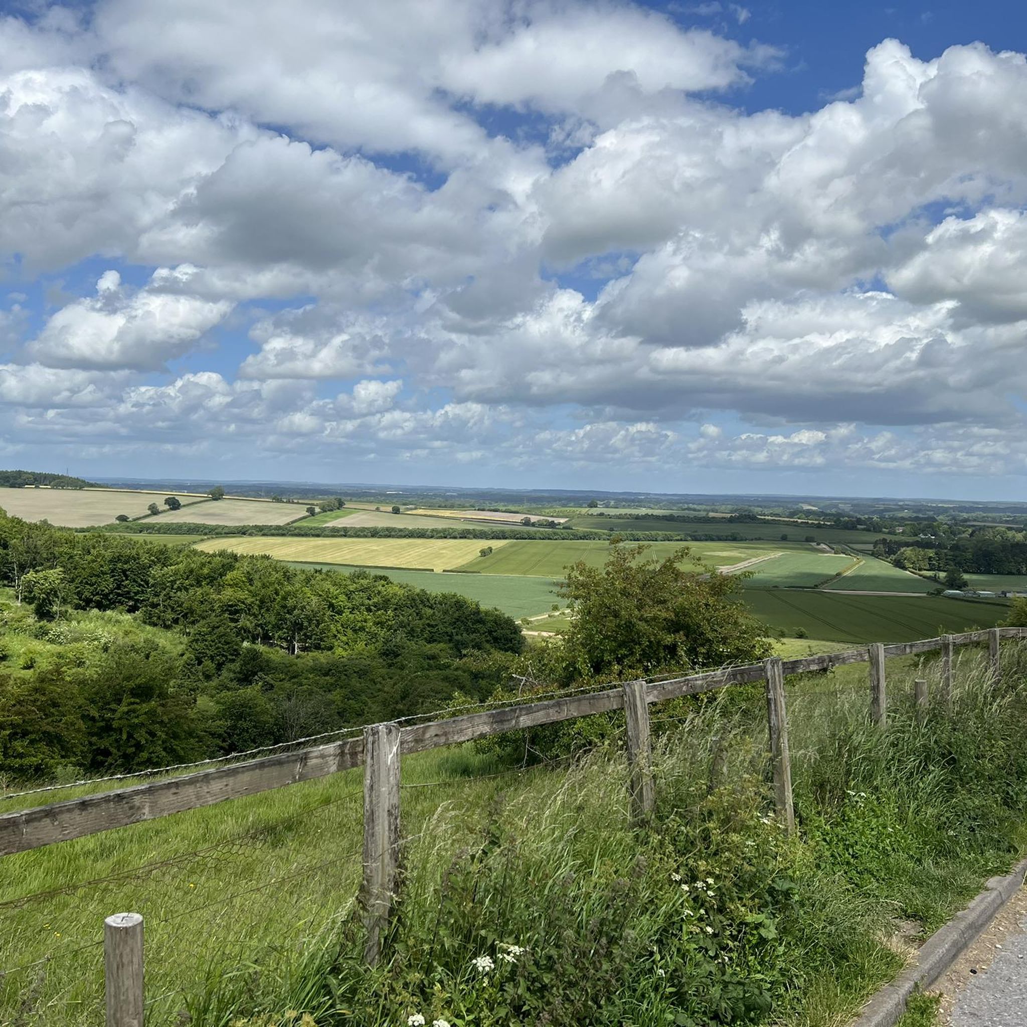
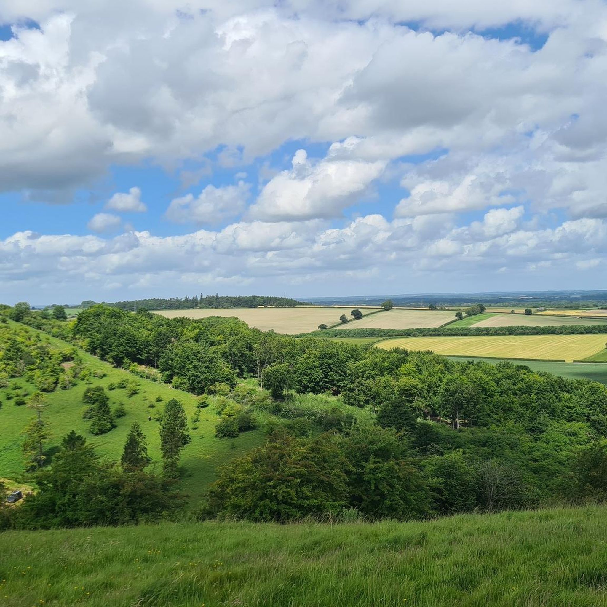
Mountain biking around Kingsclere offers diverse landscapes, from chalk downs to London Clay. The region is situated within the North Wessex Downs Area of Outstanding Natural Beauty, featuring open downland and extensive woodlands. Notable natural features include the challenging terrain of Watership Down and a prominent chalk escarpment southwest of the village. This varied topography provides a range of mountain biking experiences.
Best mountain bike trails around Kingsclere
- The most popular mountain bike trail is View From Watership Down – Descent Towards Kingsclere loop from Heads Hill, a 24.8 miles (39.9 km) trail that takes 2 hours 56 minutes to complete. This route offers rewarding views from Watership Down before a descent towards Kingsclere.
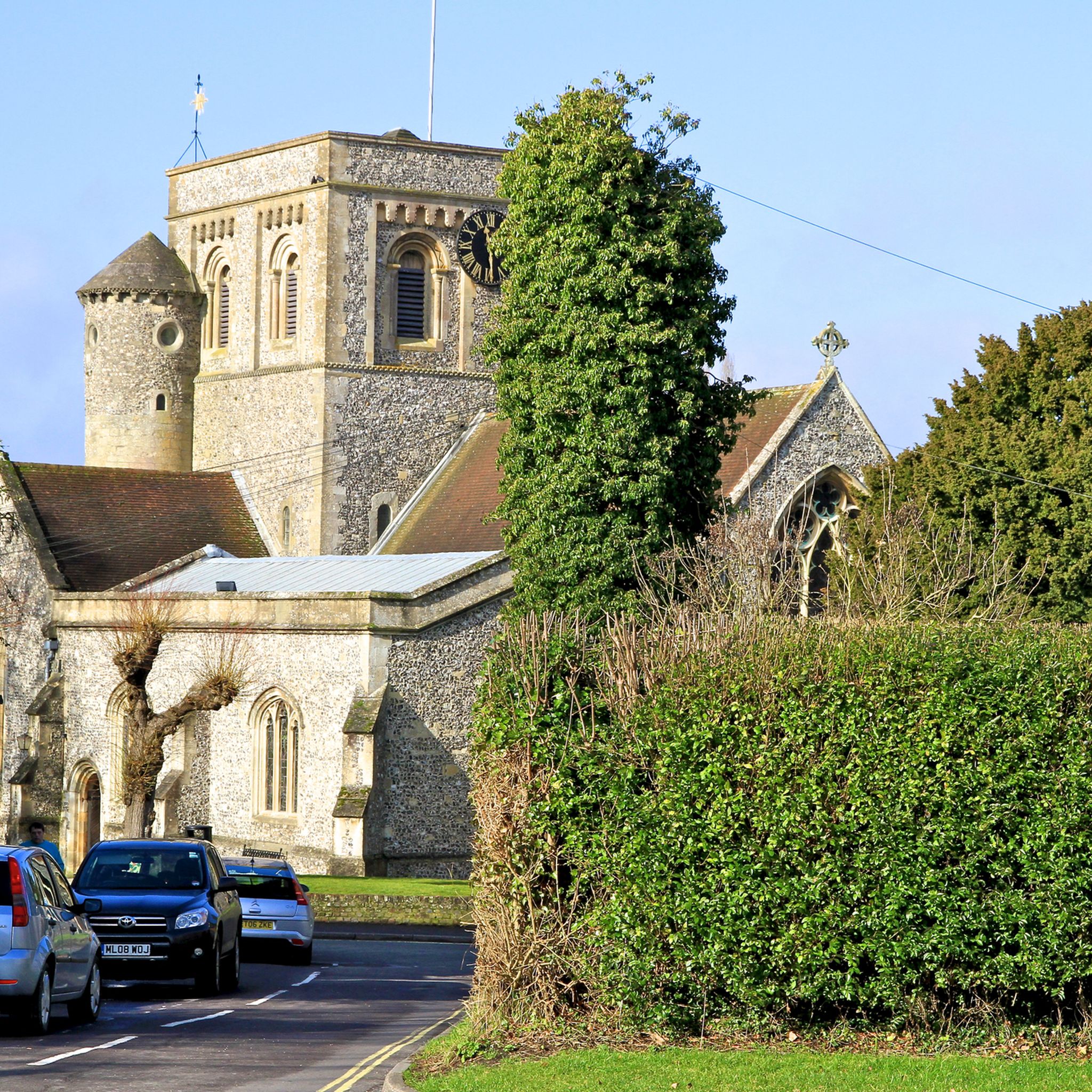
- Another top favourite among local mountain bikers is Descent Towards Kingsclere – St Mary's Church, Kingsclere loop from Kingsclere, a moderate 23.4 miles (37.7 km) path. This route explores the local countryside, including sections near the village and its historic church.
- Local mountain bikers also love the Watership Down Hill – View From Watership Down loop from Ecchinswell, Sydmonton and Bishops Green, a 27.3 miles (43.9 km) trail leading through the iconic Watership Down area, often completed in about 3 hours 27 minutes.
- Mountain biking around Kingsclere is defined by chalk downs, extensive woodlands, and a chalk escarpment. The network offers options for different ability levels, from moderate routes to those requiring good fitness.
- The routes in Kingsclere are highly rated by the komoot community with an average score of 4.6 stars from over 140 reviews. More than 700 mountain bikers have used komoot to explore Kingsclere's varied terrain.
Last updated: July 10, 2026
5.0
(6)
23
riders
Moderate mountain bike ride. Great for any fitness level. Advanced riding skills necessary.
5.0
(2)
7
riders
Moderate mountain bike ride. Good fitness required. Advanced riding skills necessary.

Sign up for free
4.0
(1)
13
riders
Moderate mountain bike ride. Good fitness required. Advanced riding skills necessary.
5.0
(1)
9
riders
29.0km
02:08
370m
370m
Moderate mountain bike ride. Good fitness required. Advanced riding skills necessary.
4.0
(1)
6
riders
Moderate mountain bike ride. Good fitness required. Advanced riding skills necessary.
Get access to more routes and recommendations from other explorers.
Sign up for free
Already have an account?
Our route recommendations are based on thousands of hikes, rides, and runs completed by other people on komoot.
Start today with a free account
Your next adventure awaits.
Login or Signup
Other adventures around Kingsclere

Tips from the Community

Watership Down Star rating: 4.7 out of 5 stars4.7Category:📍 Scenic spot Click to open side panel for more information'... I’m a huge Watership Down fan and it was magical to be here. ...'Opens in a new windowKaylaIf you’ve ever wanted to live out your own bunny adventure (minus the scary owls and general peril), Watership DownClick to open side panel for more information is a real, spectacularly beautiful place in North Hampshire. It’s part of a high chalk ridge that feels like the "top of the world" with views that stretch on forever.Everything in Richard Adams’ famous book—from the steep slopes to the specific farmhouses—is based on the real-life geography of this area. Here is how to enjoy it in a fun, relaxed way:The "Summit" ExperienceThe hill itself rises steeply on its northern side and slopes gently to the south. It’s a favorite for hikers and cyclists who want to feel like they’re standing on the spine of England.The Memorial Tree: At the top, you’ll find a beech tree planted in memory of Richard Adams. The original "Beech Hanger" from the book was destroyed in a 2004 storm, but the new one is protected by a wooden fence where fans have carved the names of the rabbits like Hazel, Bigwig, and Fiver.The "Iron Age" Vibe: The top of the hill is actually a partially completed Iron Age hill fort. You can still see the ancient earthworks and burial mounds (tumuli) that give the place a mysterious, ancient energy.Real Rabbits: Yes, there are actually plenty of rabbits! If you go at dawn or dusk, you’ll see the modern-day descendants of the book’s heroes hopping around the chalk grassland.Hidden Book LocationsYou can actually "track" the rabbits' journey through the local landscape, as almost every landmark in the story exists in the real world.Nuthanger Farm: This is a real working farm located just below the down. You can see it from the public footpaths, and it looks remarkably like the descriptions in the novel.The River Test: The rabbits famously crossed this river on a wooden punt. In reality, the Test is one of the clearest "chalk streams" in the world, famous for its trout and crystal-clear water.The Wayfarer’s Walk: This is the main "highway" for hikers that runs right along the ridge of the down. It’s the easiest way to navigate the area while soaking in the 360-degree views of the North Wessex Downs.
0
0

Not only are these old Cold War Cruise missile bunkers but Star Wars used them in the Force Awakens film as the rebel base
0
0
The hillfort on the top of the hill has never been excavated, but the land and ditch are sharply defined and well preserved. This Iron Age fort is roughly rectangular and enclosed seven acres within an embankment and ditch. There are two probable entrances to the east and west. The work seems to have been undertaken by several different labour forces, each working on a section of the defences, but for some reason the task was abandoned and the fort left unfinished. Great to walk along the unfinished ramparts, it's windy and flipping huge!!!
0
0
As a child the tale of Watership down haunted me, the movie traumatised me, to finally be able to visit where Richard Adams based it on was amazing. Such a beautiful area, I rewatched the film a day before coming. I'd not seen it since I was a child. Still a harrowing tale, but can see the genius and beauty of what was hidden in it.
0
0

Win win walk - not too muddy, and a cafe. Happy teenagers.
0
0

This track is running amazingly at present (September 2024). Nice hard packed surface and some kind people have laid a chalk path at the bottom where it used to get boggy.
0
0

Expansive views from wide open hill top landscape
1
0

Greenham Common is a beautiful nature reserve located in Hampshire near Newbury. The reserve was once a Royal Air Force base, it was also the site of a peace camp used to protest against the Cold War.
1
0
Frequently Asked Questions
How many mountain bike trails are available around Kingsclere?
Kingsclere offers a wide selection of mountain bike trails, with over 110 routes available for exploration. These routes cater to various skill levels, ensuring there's something for everyone.
What kind of terrain can I expect on mountain bike trails around Kingsclere?
The terrain around Kingsclere is quite diverse, featuring chalk downs to the south and London Clay to the north. You'll encounter extensive woodlands, open downland, and a prominent chalk escarpment. Iconic areas like Watership Down offer challenging climbs and rewarding views, making for a varied and engaging ride.
Are there mountain bike trails suitable for beginners or advanced riders in Kingsclere?
Yes, Kingsclere offers trails for various abilities. While the majority of routes are classified as moderate (over 100), there are also a few easier options and at least one more difficult trail for those seeking a greater challenge. The varied topography, including the steep climbs of Watership Down, provides opportunities for both developing skills and testing advanced riding.
What do other mountain bikers enjoy most about the trails in Kingsclere?
The mountain bike trails around Kingsclere are highly rated by the komoot community, with an average score of 4.6 stars from over 140 reviews. Riders often praise the diverse landscapes, the challenging yet rewarding climbs, and the stunning views, particularly from areas like Watership Down.
Are there any circular mountain bike routes in Kingsclere?
Many of the mountain bike routes around Kingsclere are designed as loops, allowing you to start and finish in the same location. For example, the Greenham Common Nature Reserve – Greenham Common Bunkers loop from Greenham is a moderate 21.4 km route, and the Ladle Hill Iron Age Hillfort – Watership Down Hill loop from Heads Hill offers a 29 km ride with historical interest.
What natural features or landmarks can I see while mountain biking near Kingsclere?
The Kingsclere area is rich in natural beauty and landmarks. You can encounter the challenging terrain of Watership Down, explore the open downland of the North Wessex Downs AONB, and ride through extensive woodlands. Notable viewpoints include View from Plantation Hill and View from White Hill, offering panoramic vistas of the surrounding landscape.
Are there any historical sites or attractions accessible from the mountain bike trails?
Yes, the Kingsclere area is steeped in history. You can ride past or visit sites like the Ladle Hill Iron Age Hillfort. Additionally, the Roman town and city walls of Calleva Atrebatum are free to enter and offer a fascinating historical detour. The 16th-century country house, The Vyne, also features woodlands and wetlands with walking trails.
What are some longer mountain bike routes in the Kingsclere area?
For longer rides, consider the Watership Down Hill – View From Watership Down loop from Ecchinswell, Sydmonton and Bishops Green, which is 43.9 km long and typically takes over 3 hours. Another substantial option is the Descent Towards Kingsclere – St Mary's Church, Kingsclere loop from Kingsclere, covering 37.7 km and exploring the local countryside.
Is Kingsclere suitable for family-friendly mountain biking?
Kingsclere offers a range of trails, including some easier options that could be suitable for families. The local parks, such as Kingsclere Recreation Ground, also provide trails ideal for walking and cycling. When planning a family ride, look for routes marked as 'easy' and consider the overall distance and elevation gain to match your family's fitness levels.
What is the best time of year for mountain biking in Kingsclere?
Kingsclere benefits from a mild climate, making it suitable for mountain biking year-round. However, the chalk downs can become muddy after heavy rain, so drier periods in spring, summer, and early autumn generally offer the most pleasant riding conditions. Always check local weather forecasts before heading out.
Are there any mountain bike trails near Kingsclere that pass by pubs or cafes?
While specific routes are not detailed with pub stops, the village of Kingsclere itself and surrounding areas offer various pubs and cafes where you can refuel. Many routes explore the local countryside, making it possible to plan a ride that includes a stop in a village or near an establishment for refreshments.
What are the options for parking when mountain biking near Kingsclere?
Parking availability varies by trailhead. Many routes start from villages or designated parking areas. It's advisable to check the specific route details on komoot for recommended starting points and parking information. For example, routes starting from Heads Hill or Ecchinswell, Sydmonton and Bishops Green would typically have local parking options.
Most popular routes around Kingsclere
Most popular attractions around Kingsclere

Get inspired with the komoot mobile app


Explore more
Browse the best MTB trails in other regions.
