The best cycling routes around Stoneton CP
4.5
(34)
518
riders
121
rides
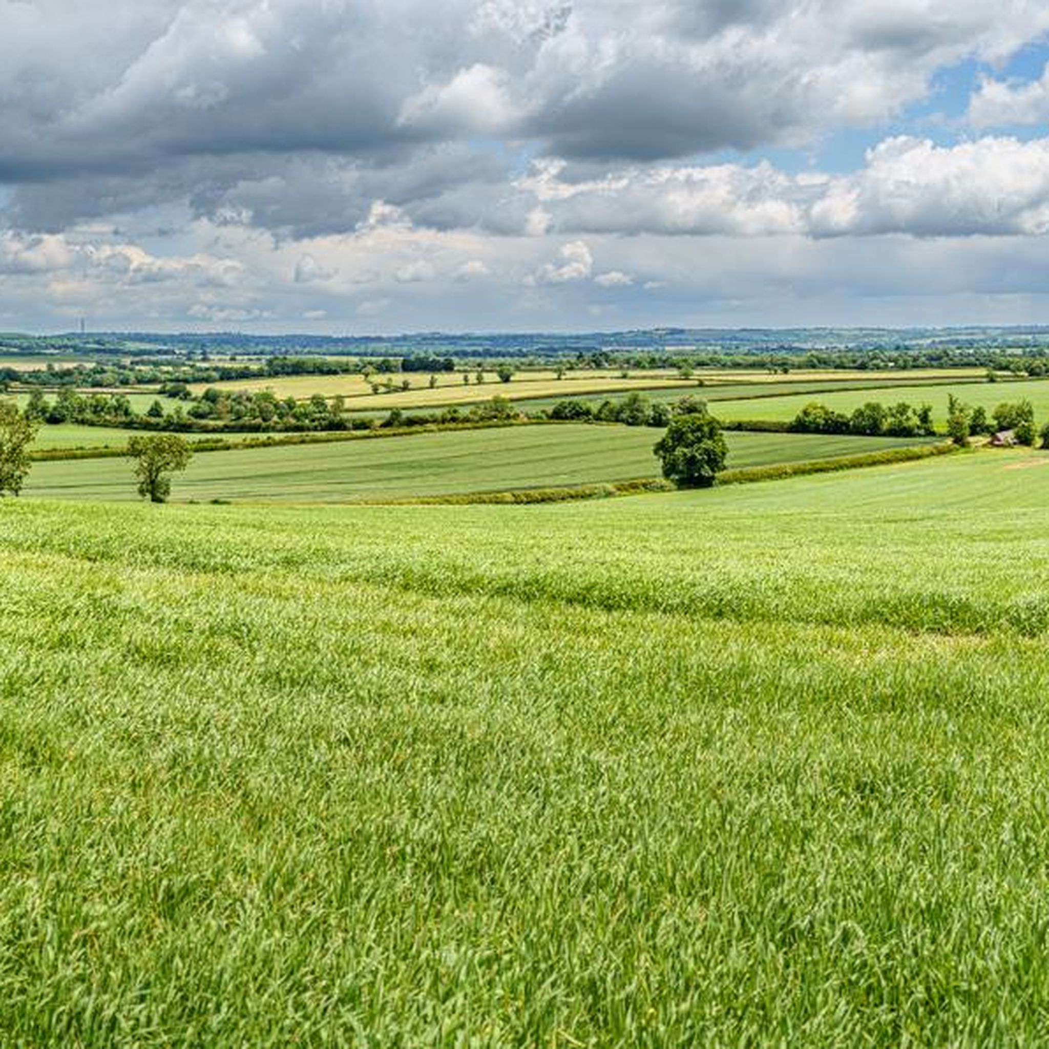
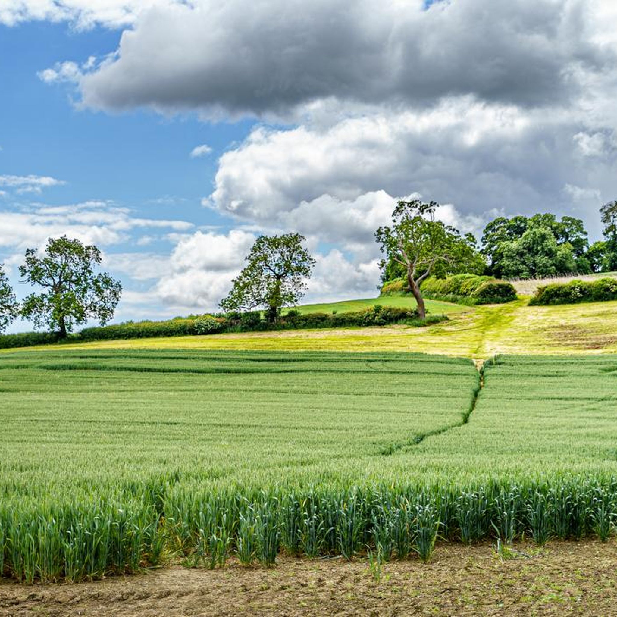
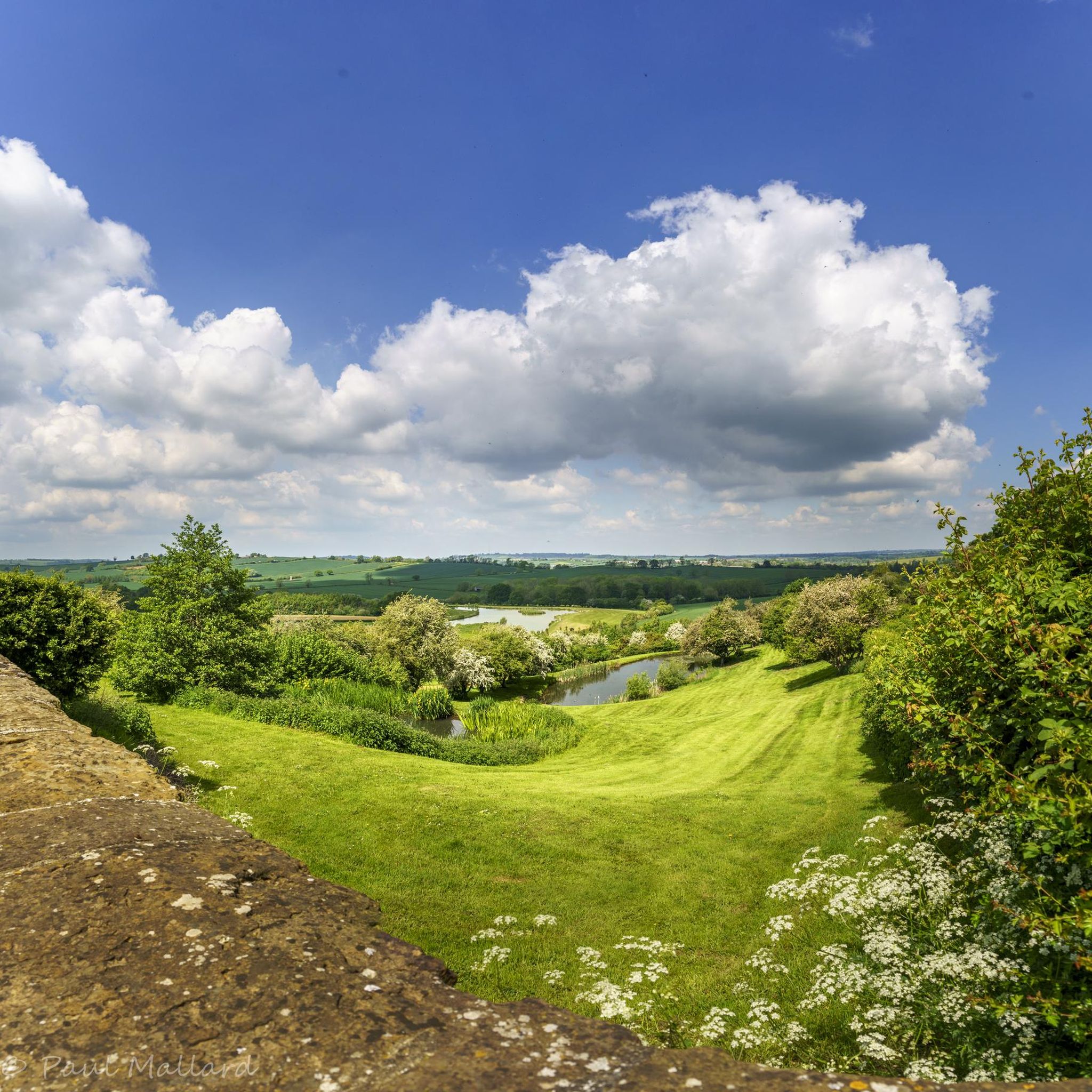
Touring cycling routes around Stoneton CP traverse a landscape characterized by rolling countryside, open fields, and rural lanes. The area features moderate elevation changes, with several routes including climbs up to 467 meters. Water features like Draycote Water are integrated into some routes, offering varied scenery. The region provides a mix of quiet country roads and paths suitable for touring cyclists.
Best touring cycling routes around Stoneton CP
- The most popular touring cycling route is Draycote Water – Start of…
Last updated: July 5, 2026
6
riders
56.9km
03:33
470m
470m
Hard bike ride. Very good fitness required. Mostly paved surfaces. Suitable for all skill levels.
5.0
(1)
7
riders
34.0km
02:04
280m
280m
Moderate bike ride. Good fitness required. Mostly paved surfaces. Suitable for all skill levels.

Sign up for free
3
riders
19.2km
01:10
150m
150m
Moderate bike ride. Good fitness required. Mostly paved surfaces. Suitable for all skill levels.
5
riders
Moderate bike ride. Good fitness required. Mostly paved surfaces. Suitable for all skill levels.
4
riders
Easy bike ride. Great for any fitness level. Mostly paved surfaces. Suitable for all skill levels.
Get access to more routes and recommendations from other explorers.
Sign up for free
Already have an account?
Our route recommendations are based on thousands of hikes, rides, and runs completed by other people on komoot.
Start today with a free account
Your next adventure awaits.
Login or Signup
Tips from the Community

Draycote Water is an artificial reservoir (23 million m3), which was completed in 1969. In addition to its function as a water reserve, it is a leisure park u.a. for anglers, sailors, hikers. The rich bird life invites also to observations. Swimming is not allowed in the lake.
1
0


St John the Baptist church, a beautiful place to take a moment mid-ride. You can walk all around the church and marvel at the architecture.
2
0

You get on here at bottom of the hill going towards Draycote.
1
0

Lower Shuckburgh Bridge No 104 is a place on the waterways on the Grand Union Canal (Oxford Canal Section) between Napton Junction (Junction of Grand Union and Oxford Canals) (1 mile and 4½ furlongs to the west) and Flecknoe Bridge No 102 (Flecknoe village half a mile southeast) (1 mile and 2 furlongs to the northeast). The nearest place in the direction of Napton Junction is Dunks Footbridge No 105; 1 furlong away. The nearest place in the direction of Flecknoe Bridge No 102 is New Bridge No 103; 4½ furlongs away.
0
0
Marston Doles Bridge No 119 is a minor waterways place on the Oxford Canal (Southern Section - Main Line) between Fenny Compton Wharf (7 miles and 4¼ furlongs and 1 lock to the southwest) and Old Engine House Arm Junction (6½ furlongs and 1 lock to the northwest). It is part of Napton Locks. The nearest place in the direction of Fenny Compton Wharf is Marston Doles Top Lock No 16; a few yards away. The nearest place in the direction of Old Engine House Arm Junction is Marston Doles Bottom Lock No 15; 1 furlong away.
0
0
The Church of England parish church of Saint John the Baptist in Upper Boddington includes two tomb recesses dating from about 1300. The chancel windows and the south window of the south transept are Decorated Gothic. The west tower is Perpendicular Gothic and the south porch was added in 1629. A simple, quiet and friendly village church dating from the 13 century, standing in a wildlife friendly churchyard. This much loved village church is sited atop a hill, with views for miles around. References to a priest in Boddington were made in the doomsday book, and the base of a preaching cross thought to date from around this time can be found in the churchyard. The church is believed to date from the 13th century, but has more recent additions. The porch over the south door is dated 1628, and below and to the left of the dated stone is a mass sundial, Now much weathered. Inside the church, at the west end of the nave is an eight sided font of 14th century design. It sits on a more modern concrete base at the entrance to the bell tower. The oldest bell was cast in 1621, and there was a ring of 5 bells in 1821. In 2004 the bells were silenced, until the tower was repaired, the bells refurbished, and a sixth bell added in 2009. A small door (leading up to the ringing chamber) is situated in the north west corner of the tower, and adjacent to this is carved Graffiti thought to date to before the Napoleonic wars. A number of medieval tiles are on display. These date from between 1300 and 1400 and were moved when the church underwent restoration after the civil war. Largely paid for by Revd Dr Edward Maynard (rector from 1694 to 1740), there were extensive repairs to the roof and windows, and generally putting the church back into good order. He and his wife are buried under the alter. Two tomb recesses, one on either side of the church date from the 13th or 14th century. An oak chest, iron bound, and hewn from a single piece of oak dates form the 16th century. It may have belonged to the Washington family and has served as 'safe' for the church for several centuries! The organ pipes date from the mid Victorian era, but the organ was replaced with a modern digital organ in 2014. A number of mouldings and grotesques are evident inside and outside the church.
0
0
Frequently Asked Questions
How many touring cycling routes are available in Stoneton CP?
Stoneton CP offers a wide selection of touring cycling routes, with over 120 options available. These routes cater to various skill levels, from easy rides to more challenging excursions.
Are there any easy touring cycling routes suitable for beginners or families in Stoneton CP?
Yes, Stoneton CP has several easy touring cycling routes perfect for beginners or families. For instance, the HS2 Construction Site Crossing – View of the Countryside loop from Boddington is an easy 18.5 km trail offering pleasant countryside views. Another great option is the Napton on the Hill Campsite – Countryside Views Near Southam loop from Priors Marston CP, which is a 14.8 km easy ride.
What are the typical distances for touring cycling routes in Stoneton CP?
Touring cycling routes in Stoneton CP vary significantly in length. You can find shorter, easy rides around 15-20 km, such as the Napton on the Hill Campsite – Countryside Views Near Southam loop from Priors Marston CP. For those seeking a longer challenge, routes like the Draycote Water – Start of the Greenway loop from Priors Marston CP extend to nearly 57 km.
Are there any circular touring cycling routes in Stoneton CP?
Many of the touring cycling routes in Stoneton CP are designed as loops, allowing you to start and finish at the same point. Examples include the Draycote Water – Start of the Greenway loop from Priors Marston CP and the HS2 Construction Site Crossing – Forge Coffee Culworth loop from Wormleighton CP.
What kind of terrain and elevation changes can I expect on touring cycling routes in Stoneton CP?
The terrain in Stoneton CP is characterized by rolling countryside and rural lanes. While many routes offer moderate elevation changes, some include significant climbs. For example, the Draycote Water – Start of the Greenway loop from Priors Marston CP features an elevation gain of over 460 meters, providing a good workout.
What do other touring cyclists enjoy most about cycling in Stoneton CP?
The komoot community highly rates touring cycling in Stoneton CP, with an average score of 4.6 stars from over 30 reviews. Cyclists often praise the varied scenery, including open fields and water features like Draycote Water, as well as the mix of quiet country roads and paths.
Are there any routes that pass by interesting landmarks or places to explore?
Yes, several routes offer points of interest. The HS2 Construction Site Crossing – Forge Coffee Culworth loop from Wormleighton CP passes by a local coffee spot, Forge Coffee Culworth, perfect for a break. Another route, the Countryside Views Near Southam – St John the Baptist Church loop from Priors Marston CP, includes views of St John the Baptist Church.
When is the best time of year for touring cycling in Stoneton CP?
The rolling countryside of Stoneton CP is enjoyable throughout the warmer months, typically from spring to autumn. During these seasons, you can expect more favorable weather conditions for exploring the rural lanes and open fields. While winter cycling is possible, some routes may be affected by weather conditions.
Are there any cafes or refreshment stops along the touring cycling routes?
Yes, some routes incorporate convenient stops. The HS2 Construction Site Crossing – Forge Coffee Culworth loop from Wormleighton CP is specifically noted for passing by Forge Coffee Culworth, offering a great spot for a break and refreshments.
What are the parking options for accessing touring cycling routes in Stoneton CP?
Many touring cycling routes in Stoneton CP start from villages or designated parking areas. For example, routes like the Draycote Water – Start of the Greenway loop from Priors Marston CP and the Countryside Views Near Southam – St John the Baptist Church loop from Priors Marston CP begin from Priors Marston CP, where parking is typically available.
Are there any particularly scenic viewpoints along the touring cycling routes?
The region is known for its picturesque rolling countryside and open fields. Routes like the HS2 Construction Site Crossing – View of the Countryside loop from Boddington are specifically highlighted for their expansive countryside views, offering many scenic spots to enjoy the landscape.
Most popular attractions around Stoneton CP

Get inspired with the komoot mobile app


Explore more
Browse the best Cycling routes in other regions.
